Archivo - fecha
Archivo - actividad
-
Escalada (3)
- Escalada alpino (3)
-
Excurción de esquí (36)
- Esquí de montaña (2)
- Randonnée/Telemark (34)
-
Senderismo (8)
- Running (1)
- Senderismo de montaña (7)
Amigos de Peakbook

Excurciones favoritos


Stølsmaradalstinden
- Fecha:
- 17.05.2015
- Tipo de excursión:
- Randonnée/Telemark
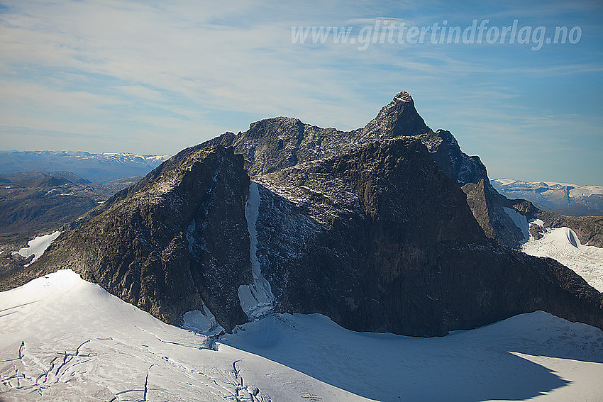 An 8 hour ski tour Turtagrø-Stølsmaradalstind-Turtagrø up Riingsdalen, with a 45 degree steep descent of the "main couloir/ridge" on Stølsmaradalstind. Descent grade 4.3/E2. On the photo you can see the couloir:
Lavskar
- Fecha:
- 10.04.2015
- Tipo de excursión:
- Randonnée/Telemark
- Duración:
- 10:00h
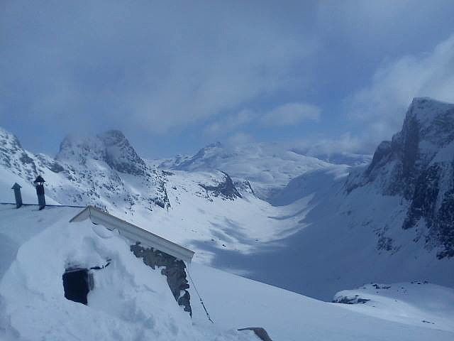 A 10 hours roundtrip Turtagrø-Lavskar-Turtagrø. There is a 45-50 degrees steep climb to the Lavskar col and a 45 degrees descent onto the glacier below. The climb feels a bit exposed and ideally you should bring ropes.
Route: Skin up the Skagadals valley to "Hytta på Bandet", then cross the glacier towards the Lavskar ridge and climb up the 200-250m couloir/ridge to Lavskar. Ski down to the Stølsmaradalsbreen via a 45 degrees steep wall/ridge. Skin and ski back to Turtagrø via Riingsdalen.
Towards Lavskar from "Hytta på bandet":
"Hytta på bandet":
Store Skagastølstind from Lavskar:
Store Skagastølstind from Lavskar:
Looking down the "Lavskar couloir". The top is exposed and you should bring a rope.
A 10 hours roundtrip Turtagrø-Lavskar-Turtagrø. There is a 45-50 degrees steep climb to the Lavskar col and a 45 degrees descent onto the glacier below. The climb feels a bit exposed and ideally you should bring ropes.
Route: Skin up the Skagadals valley to "Hytta på Bandet", then cross the glacier towards the Lavskar ridge and climb up the 200-250m couloir/ridge to Lavskar. Ski down to the Stølsmaradalsbreen via a 45 degrees steep wall/ridge. Skin and ski back to Turtagrø via Riingsdalen.
Towards Lavskar from "Hytta på bandet":
"Hytta på bandet":
Store Skagastølstind from Lavskar:
Store Skagastølstind from Lavskar:
Looking down the "Lavskar couloir". The top is exposed and you should bring a rope.
Gjertvasstinden
- Fecha:
- 09.04.2015
- Tipo de excursión:
- Randonnée/Telemark
 A ski ascent/descent from Turtagrø-Skogadalsbøen, up a 40 degrees glacier. 10 hours.
Gjertvasstind (2351m) and Store Styggedalstind (2387m):
Several beautiful "ski lines" on the north face of the Skagastølsmassif:
The top ridge:
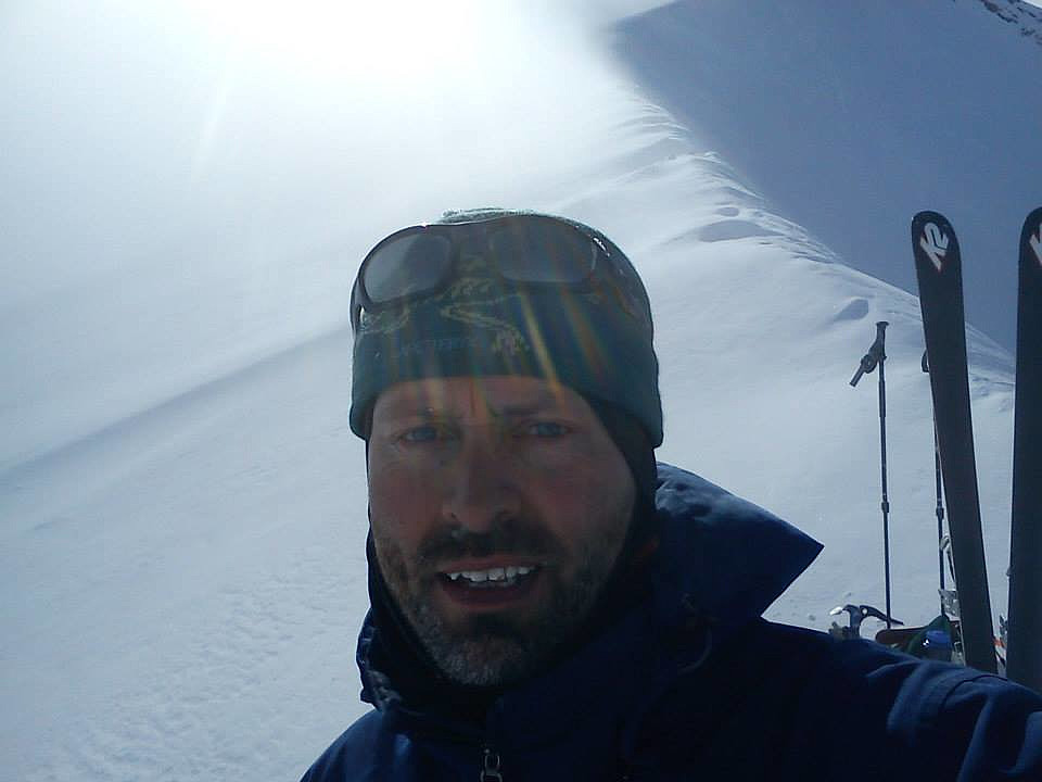
Selfie with skis:
Towards Styggedalstind (2387m) from the top:
A ski ascent/descent from Turtagrø-Skogadalsbøen, up a 40 degrees glacier. 10 hours.
Gjertvasstind (2351m) and Store Styggedalstind (2387m):
Several beautiful "ski lines" on the north face of the Skagastølsmassif:
The top ridge:
Selfie with skis:
Towards Styggedalstind (2387m) from the top:

