Archive - Date
Archive - Activity
-
Climbing (3)
- Alpine climbing (3)
-
Ski trip (36)
- Backcountry skiing (2)
- Randonnée/Telemark (34)
- Trip by foot (8)
Peakbook-Friends


Favourite trips


Store Ringstinden
- Date:
- 02.04.2008
- Characteristic:
- Randonnée/Telemark
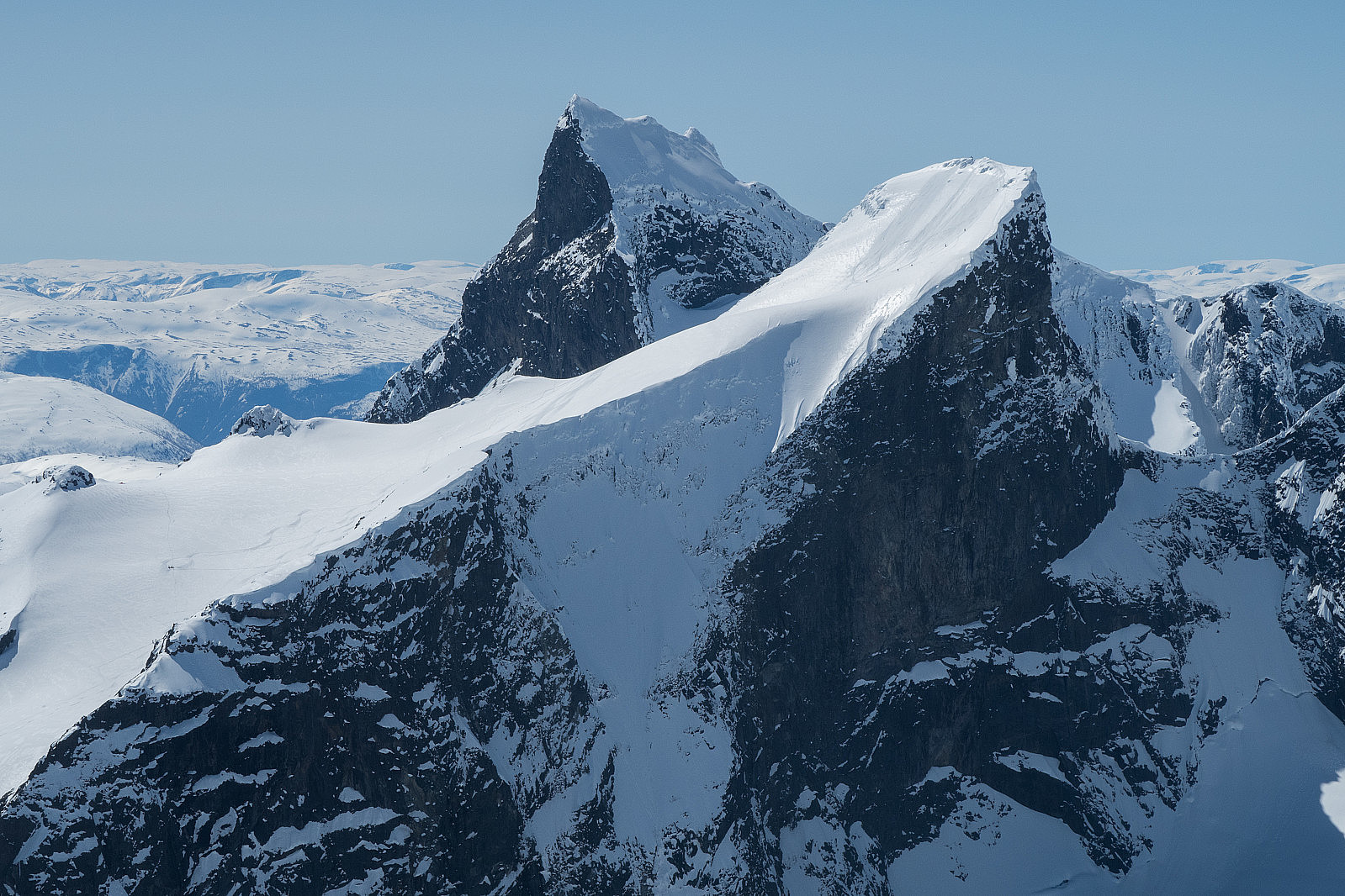 A ski ascent from Turtagrø. 8 hours. On the photo you see Store Austanbottstind (2203m) and Store Ringstind (2124m). In fresh snow there is a spectacular 1000m descent from Store Ringstind:
Store Steindalsnosi (2025m)
- Date:
- 21.04.2007
- Characteristic:
- Randonnée/Telemark
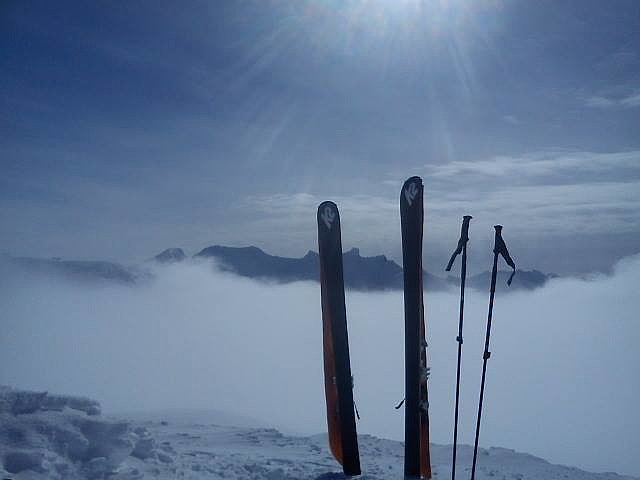 A ski-tour from the parking to the top of Steindalsnosi with a descent in 35 cm fresh snow.
From the top towards the Skagastøls massif:
Selfie with Gjertvasstind (2351m):
A ski-tour from the parking to the top of Steindalsnosi with a descent in 35 cm fresh snow.
From the top towards the Skagastøls massif:
Selfie with Gjertvasstind (2351m):
The "west couloir" from Aiguille du Midi
- Date:
- 20.04.2001
- Characteristic:
- Randonnée/Telemark
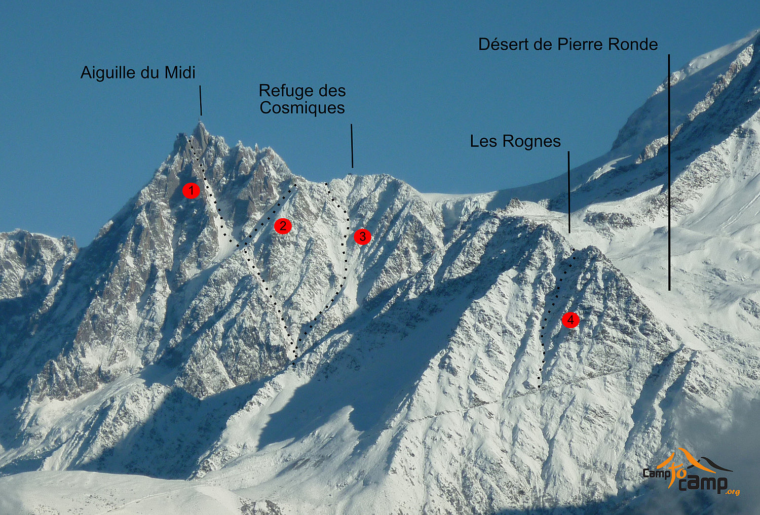 A beautiful ski descent doing the West Couloir from the Glacier Ronde. The couloir comes in from the North Face and can be accessed from the Glaciere Ronde via an abseil (route no. 160 in F. Damilano's "Snow, Ice and Mixed vol II"). You ski down no. 2 in the photo but instead of taking to the skiers left you continue down the glacier to the bottom skiers right. You climb to a col and abseil into the couloir. You see the col on the photo 1 cm below no 1. We did it on telemark skis in good conditions. 50-55 degrees steep in 35 cm fresh snow. Grade 5.3 ED+
This is from the top of the couloir. You ski down the Glacier Ronde and in the bottom skiers right you climb to a col. From the col you abseil 10-15 m onto a small ledge and put on your skis. In the picture you can see the skier has >>>
A beautiful ski descent doing the West Couloir from the Glacier Ronde. The couloir comes in from the North Face and can be accessed from the Glaciere Ronde via an abseil (route no. 160 in F. Damilano's "Snow, Ice and Mixed vol II"). You ski down no. 2 in the photo but instead of taking to the skiers left you continue down the glacier to the bottom skiers right. You climb to a col and abseil into the couloir. You see the col on the photo 1 cm below no 1. We did it on telemark skis in good conditions. 50-55 degrees steep in 35 cm fresh snow. Grade 5.3 ED+
This is from the top of the couloir. You ski down the Glacier Ronde and in the bottom skiers right you climb to a col. From the col you abseil 10-15 m onto a small ledge and put on your skis. In the picture you can see the skier has >>>
Col de Tour Noir - Aiguilles des Grands Montets
- Date:
- 17.04.2001
- Characteristic:
- Randonnée/Telemark
Grand Envers - Aiguille du Midi
- Date:
- 29.03.2001
- Characteristic:
- Randonnée/Telemark
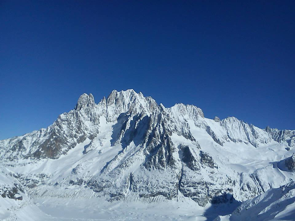 A ski descent of the Grand Envers on telemark.
Aiguille Verte (4122m) from the Requin hut:
The end couloir after the Requin hut:
A ski descent of the Grand Envers on telemark.
Aiguille Verte (4122m) from the Requin hut:
The end couloir after the Requin hut:

