
Ølveshovda (11.09.2021)

Geschrieben von hbar (Harald Barsnes)

| Startpunkt | Ølve kyrkje (13m) |
|---|---|
| Endpunkt | Ølve kyrkje (13m) |
| Tourcharakter | Bergtour |
| Tourlänge | 1h 05min |
| Entfernung | 4,0km |
| Höhenmeter | 246m |
| GPS |
|
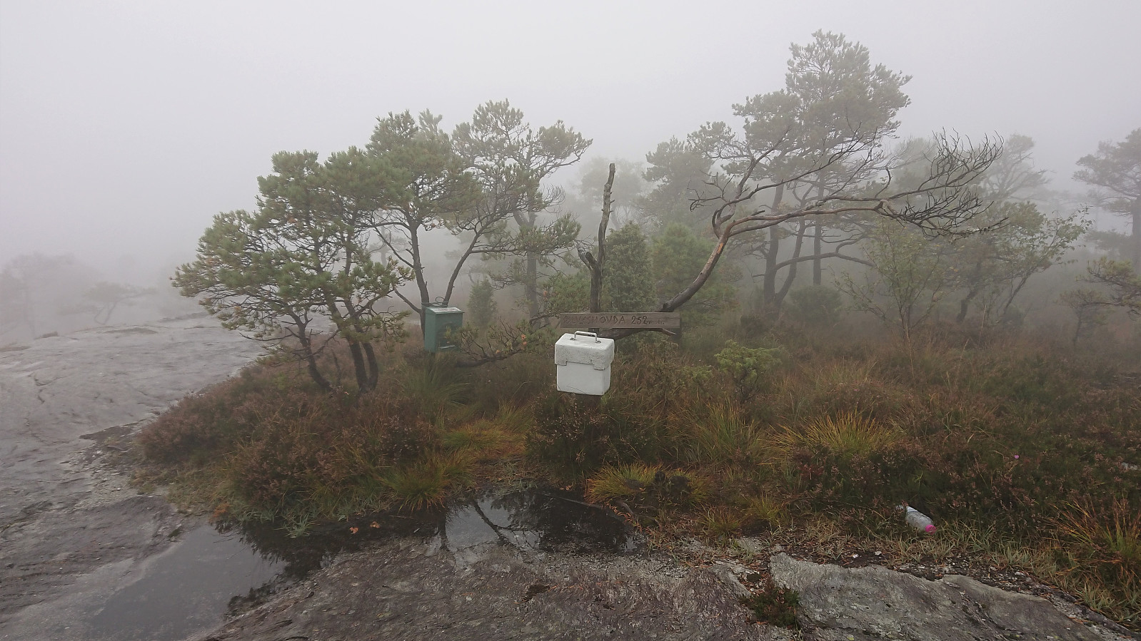
| Besteigungen | Ølveshovda (252m) | 11.09.2021 |
|---|---|---|
| Besuche anderer PBE | Ølveshovda utsiktspunkt (236m) | 11.09.2021 |
Ølveshovda
After visiting Kyrkjehovda, Vardegga and Snaueggi in pouring rain and with little to no views due to a particularly thick fog, both me and Fjellsamleren (Endre Myrdal Olsen) felt a drop in motivation. However, given that we were now very close to Ølveshovda we decided to make one last push and also visit it before returning to Bergen.
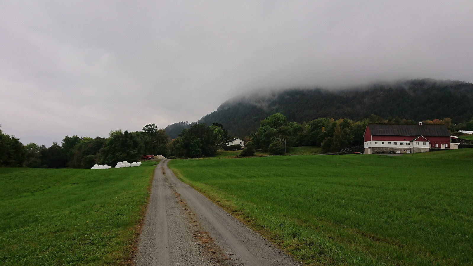
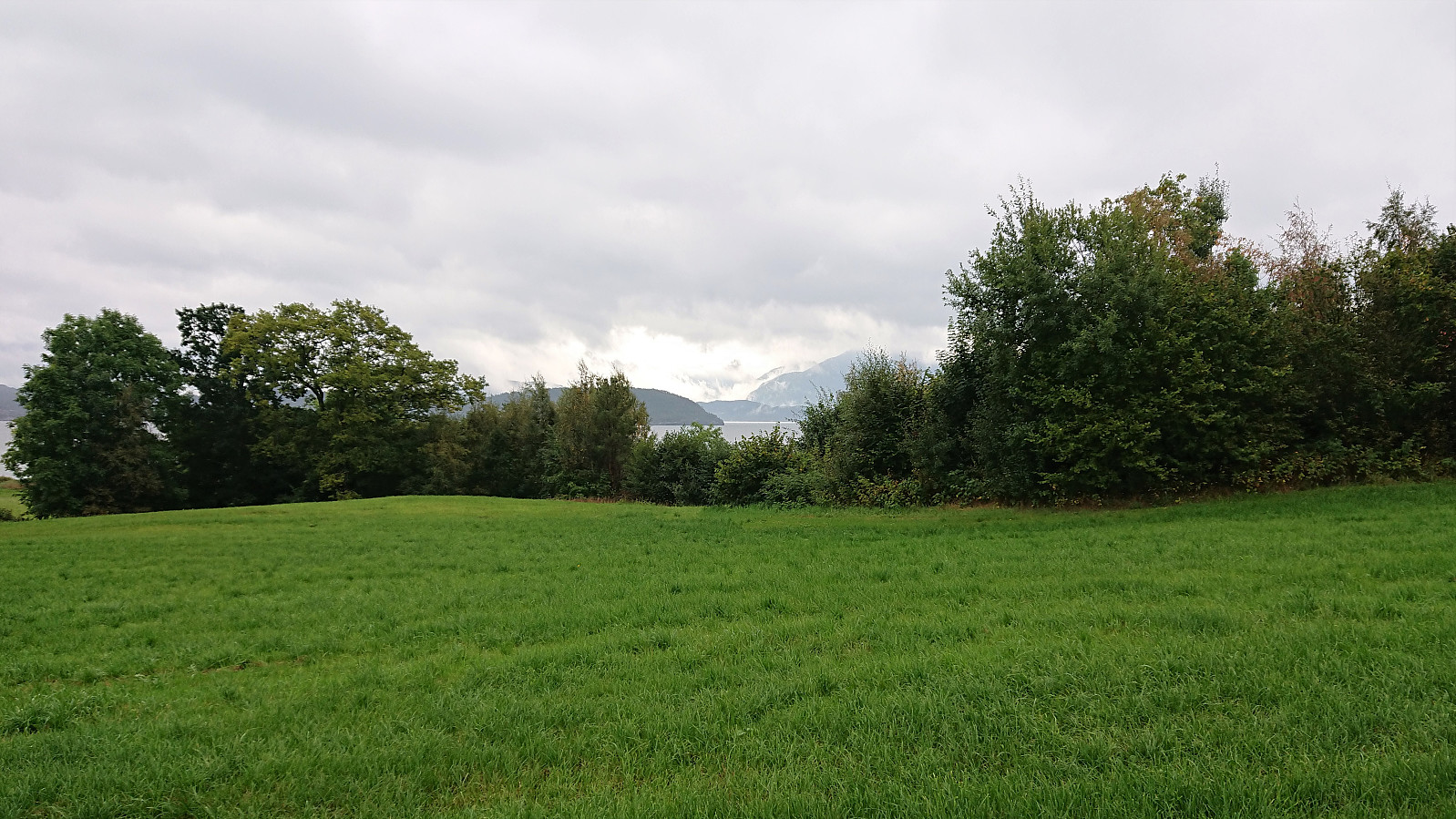
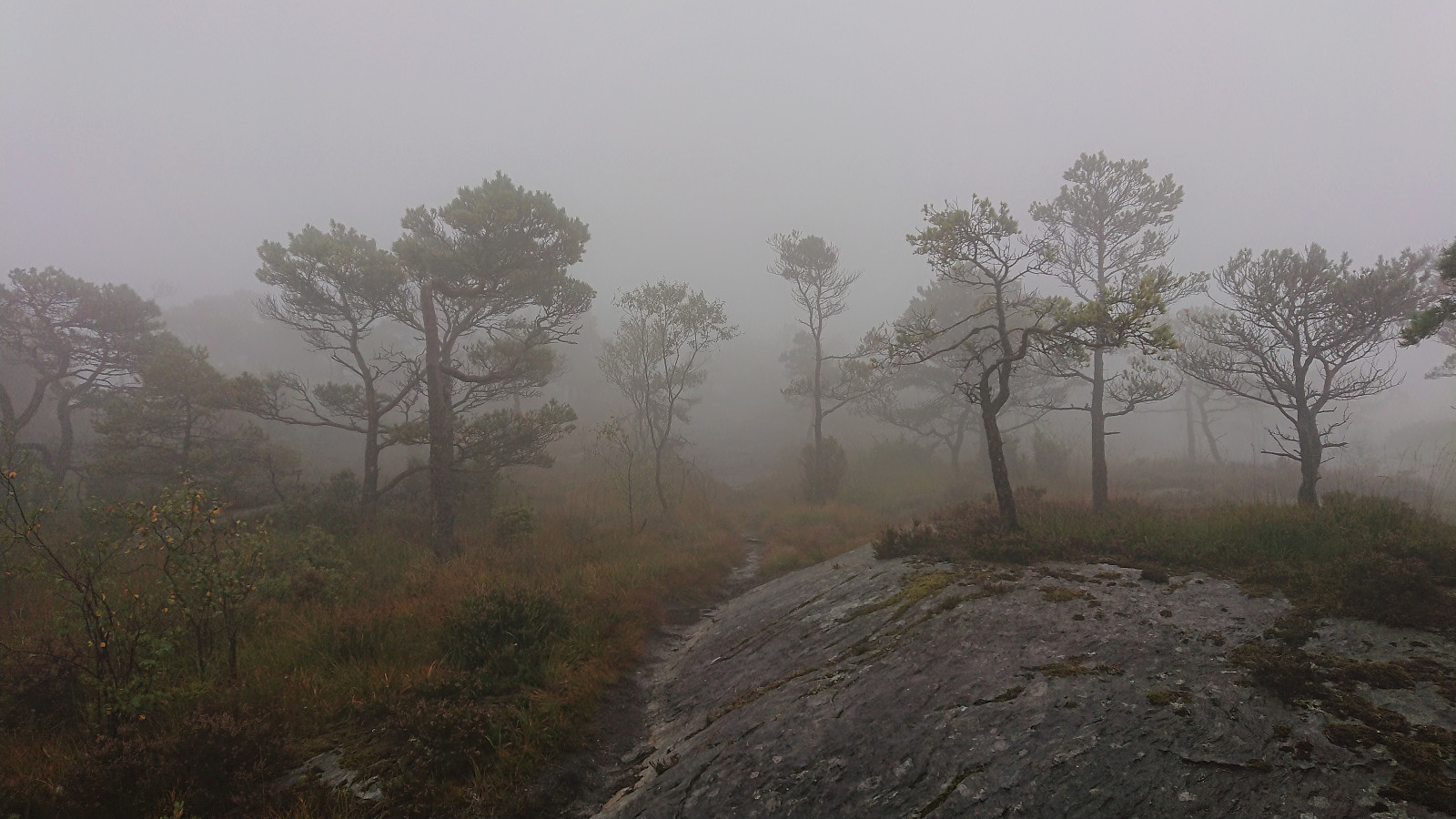
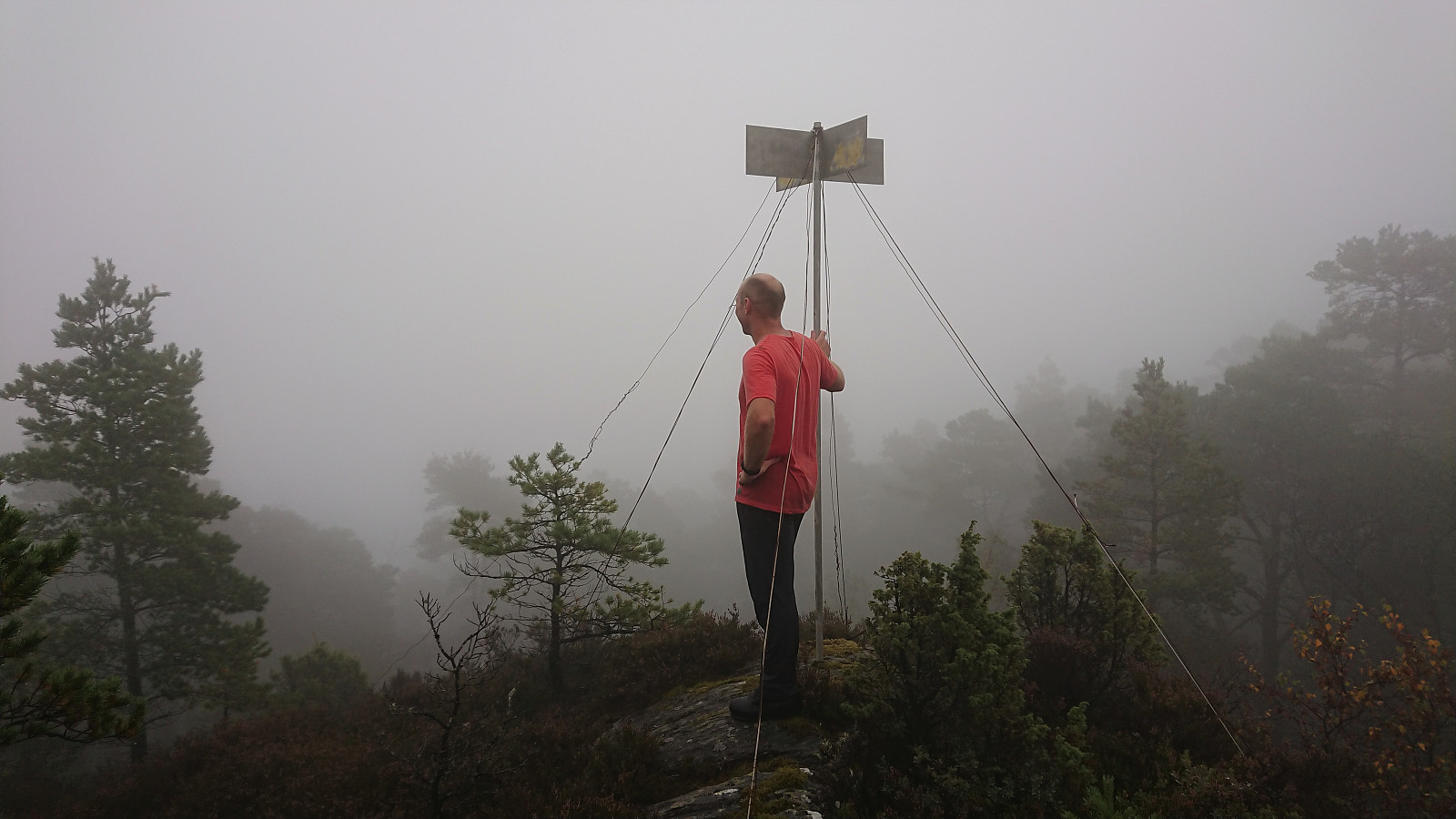
We parked next to Ølve Kyrkje and continued on foot along a gravel road to the marked trailhead. We could now for the first time look across Kvinnheradsfjorden and spot both Snilstveitsøy and several of the higher mountains behind it. Maybe we could finally get some views from one of the visited summits? However, we soon ascended into the thick fog, and it became clear that there would be no views this time either.
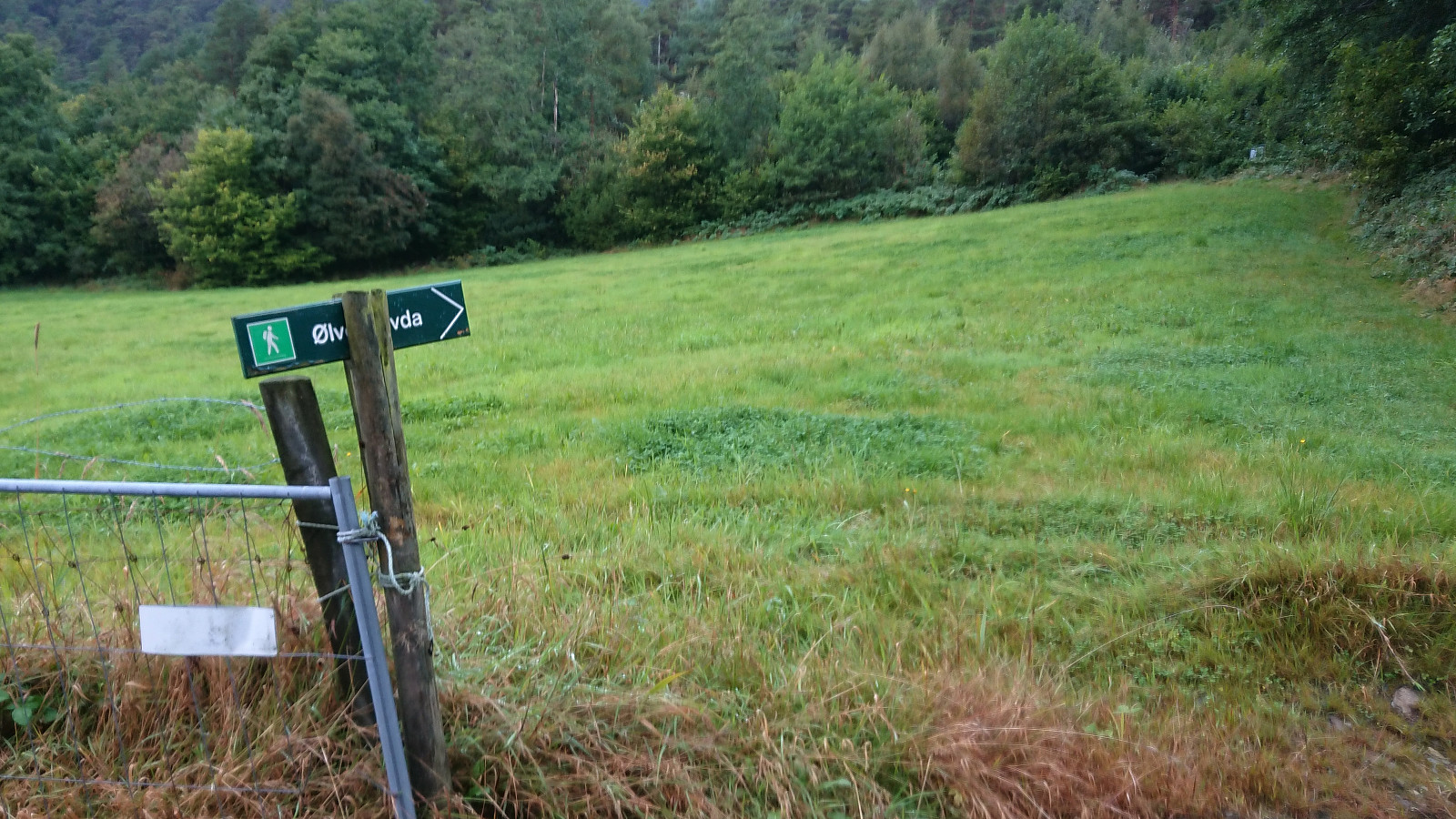
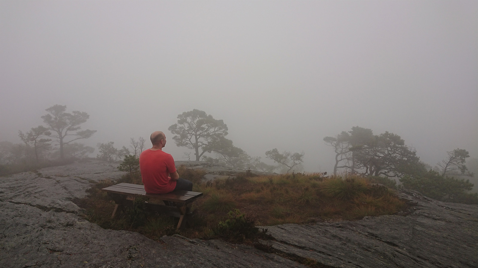
While the information sign at the start of the hike had encouraged us to take it slow and enjoy the views, we did not see much point in staring into the white void for very long, and quickly began our descent along the same route, ready for the drive back to Bergen.
In summary, yet another nice short hike that would greatly benefit from better weather conditions in order to enjoy the provided views from the summit.

| Startzeitpunkt | 11.09.2021 15:12 (UTC+01:00 SZ) |
| Endzeitpunkt | 11.09.2021 16:18 (UTC+01:00 SZ) |
| Gesamtzeit | 1h 05min |
| Zeit in Bewegung | 1h 02min |
| Pausenzeit | 0h 3min |
| Gesamtschnitt | 3,7km/h |
| Bewegungsschnitt | 3,9km/h |
| Entfernung | 4,0km |
| Höhenmeter | 246m |


Benutzerkommentare