
Snauegga - an unplanned roundtrip (11.09.2021)

Written by hbar (Harald Barsnes)

| Start point | Eggjane p-plass (41m) |
|---|---|
| Endpoint | Eggjane p-plass (41m) |
| Characteristic | Hillwalk |
| Duration | 1h 15min |
| Distance | 4.5km |
| Vertical meters | 254m |
| GPS |
|
| Ascents | Snauegga (284m) | 11.09.2021 |
|---|---|---|
| Visits of other PBEs | Eggjane p-plass (41m) | 11.09.2021 |
Snauegga - an unplanned roundtrip
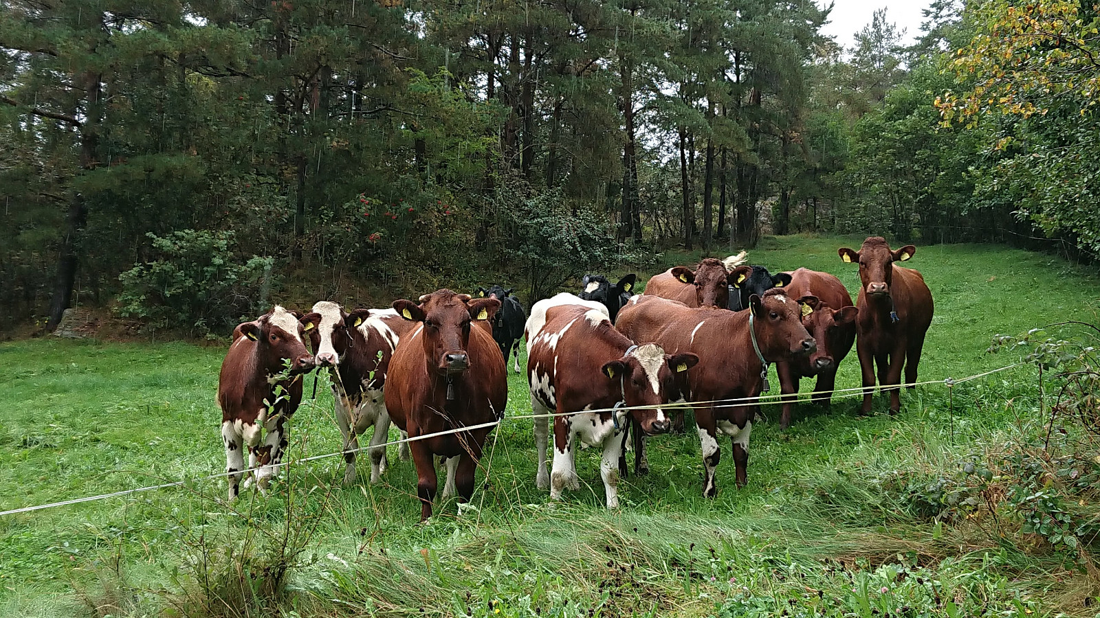

After visiting Kyrkjehovda and Vardegga, me and Fjellsamleren (Endre Myrdal Olsen) drove south to Berge where we easily located the marked trailhead for Snauegga (the sign says Eggjane). However, the suggested route was blocked with a herd of what was either very large calves or bulls. This left us rather skeptical with regards to passing right by them, especially as they all seemed rather interested in us. We therefore decided to make a short detour hoping the large animals would stay where they were and not follow us. And besides having to cross two barbed wire fences (of which the first was partly hidden and close to the ground), our plan was a success and we were shortly back on track.
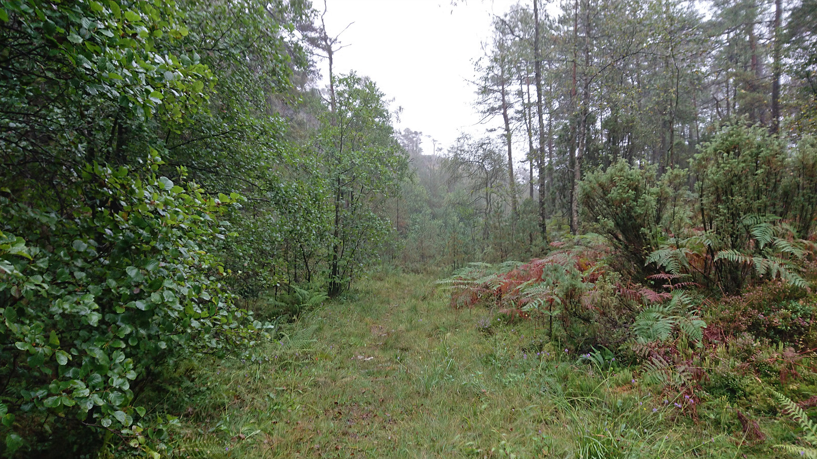
This would not last for long though, as we soon realized that we had made a wrong turn when the tractor road forked early on. We were now in the valley east of the summit called Langedalen and not heading towards the ridge that would take us to the summit along the marked trail. We discovered this a bit late and did not really want to head back and start over. We decided to instead continue on the very wet tractor road that we were on and then later turn northwest and head off-trail towards the summit.
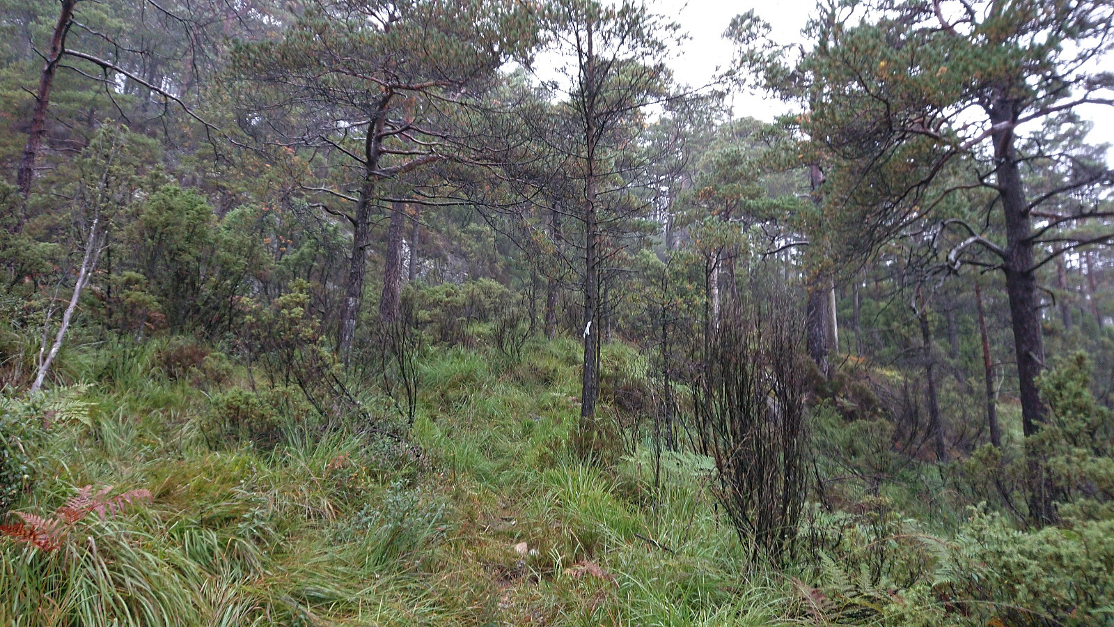
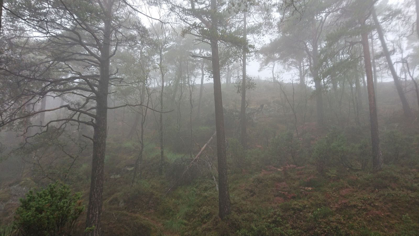
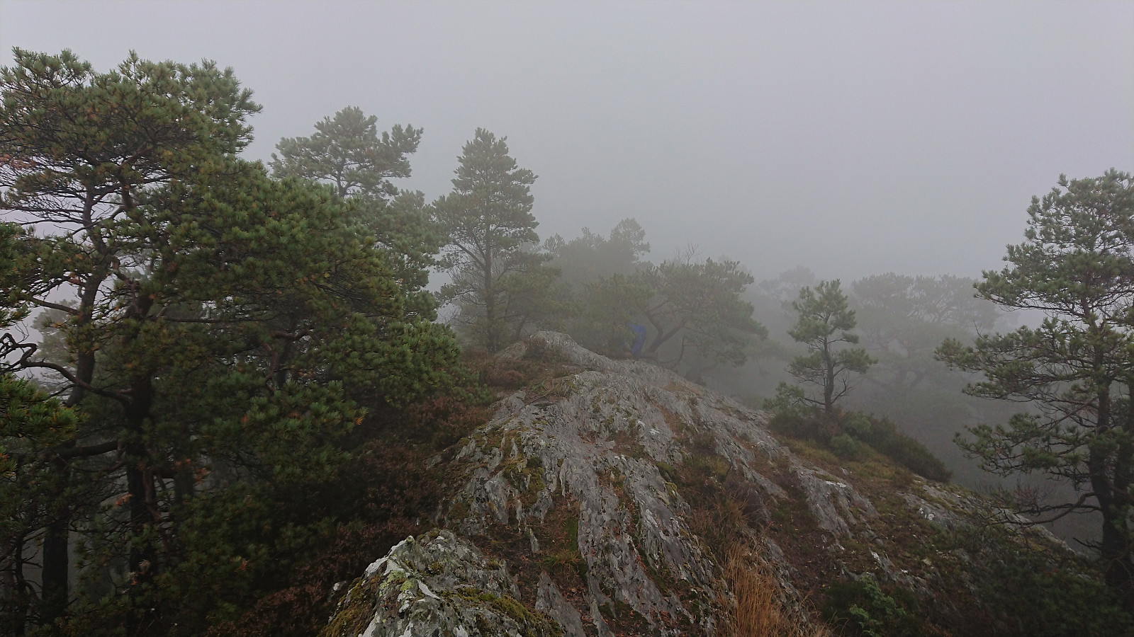
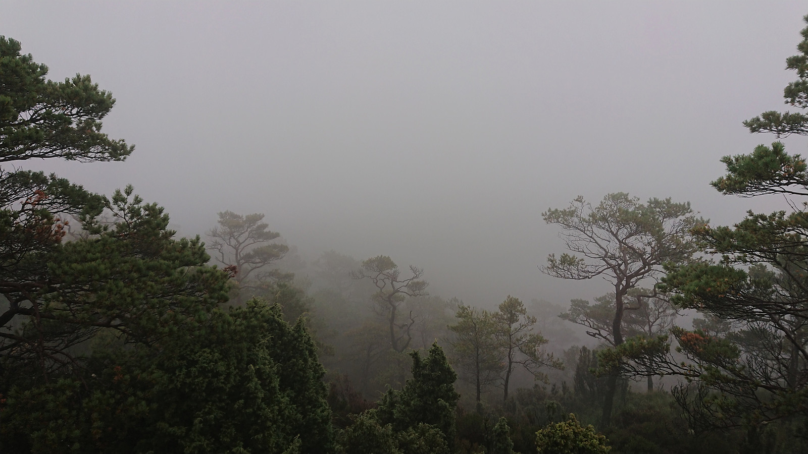
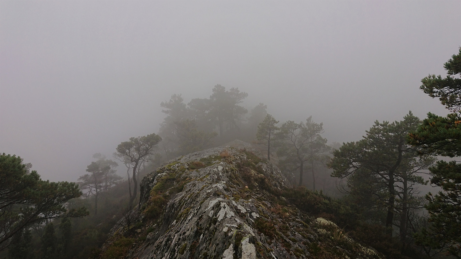
Initially this seemed to be a bad choice as the tractor road turned increasingly worse and at times felt and looked more like a stream. But just as we finally started off-trail towards the summit, we happened to come across what turned out to be a trail marked with white plastic ribbons, which while weak at times would successfully lead us all the way to the top of Snauegga. Sadly the thick fog was not showing any signs of disappearing and thus again cheated us from some most likely excellent views.
From the summit we followed the trail we had intended to use for the ascent, and while it too had its wet sections, it was overall a much better route than the one we ended up using. It was also marked with red T's and had several signs, and is probably the route most hikers use to get to/from the summit of Snauegga.
The only remaining challenge was now whether the calves/bulls would still be blocking our route. But in the end they had moved to a different field further from the parking lot, and while we still passed them at a relatively close distance, they paid us little to no mind, and we reached the car without any issues.
To conclude, another short hike that is probably much nicer in better weather.
| Start date | 11.09.2021 13:43 (UTC+01:00 DST) |
| End date | 11.09.2021 14:57 (UTC+01:00 DST) |
| Total Time | 1h 15min |
| Moving Time | 1h 06min |
| Stopped Time | 0h 8min |
| Overall Average | 3.6km/h |
| Moving Average | 4.1km/h |
| Distance | 4.5km |
| Vertical meters | 253m |


User comments