
Kyrkjehovda (11.09.2021)

Written by hbar (Harald Barsnes)

| Start point | P-lomme Sundvorvegen (63m) |
|---|---|
| Endpoint | P-lomme Sundvorvegen (63m) |
| Characteristic | Hillwalk |
| Duration | 0h 55min |
| Distance | 2.2km |
| Vertical meters | 170m |
| GPS |
|
| Ascents | Kyrkjehovda (195m) | 11.09.2021 |
|---|
Kyrkjehovda
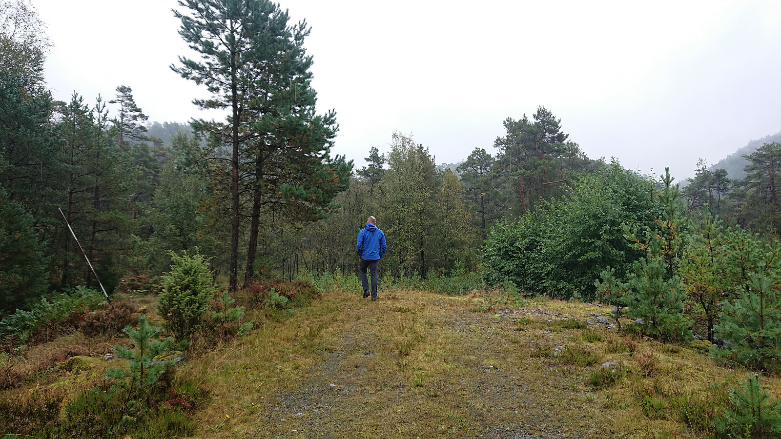
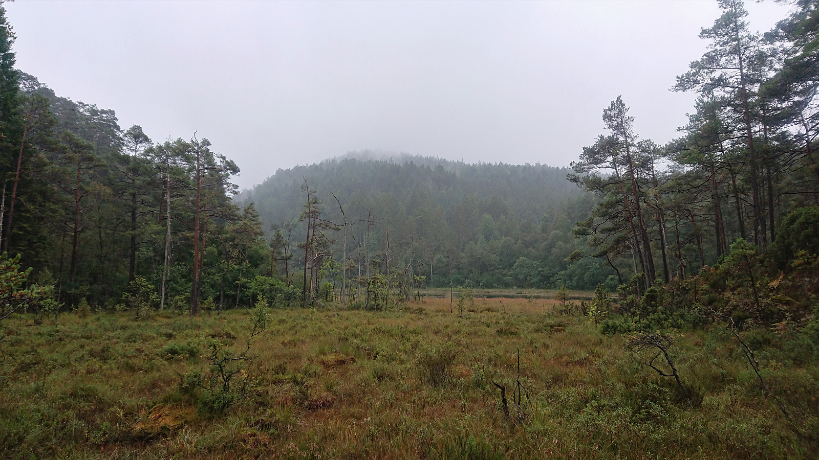
Finally it was time for another trip with Fjellsamleren (Endre Myrdal Olsen), the first in over a year. This time our goal was to visit at least four peaks in the area between Ølve and Lygrespollen. Already during our drive from Bergen it was clear that we would not be meeting many other hikers today. The rain was hammering down on the windshield and the fog was only getting thicker. On the way up to Gullbotn we almost could not see the road in front of us. We therefore decided to start with Kyrkjehovda, simply to get it out of the way, as the previous trip reports did not give it much praise.
After easily locating the small parking lot right next to the road just north of the summit, we started following a tractor road which soon turned into a wet and weak trail. We first incorrectly headed towards the 122 hill east of Kyrkjehovda, but quickly corrected our course and headed for the small lake north of the summit.
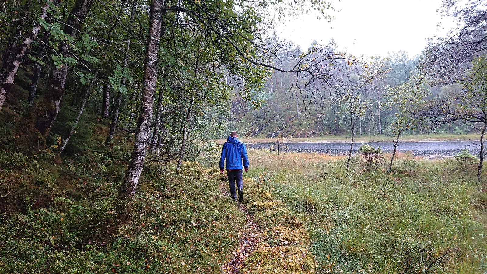
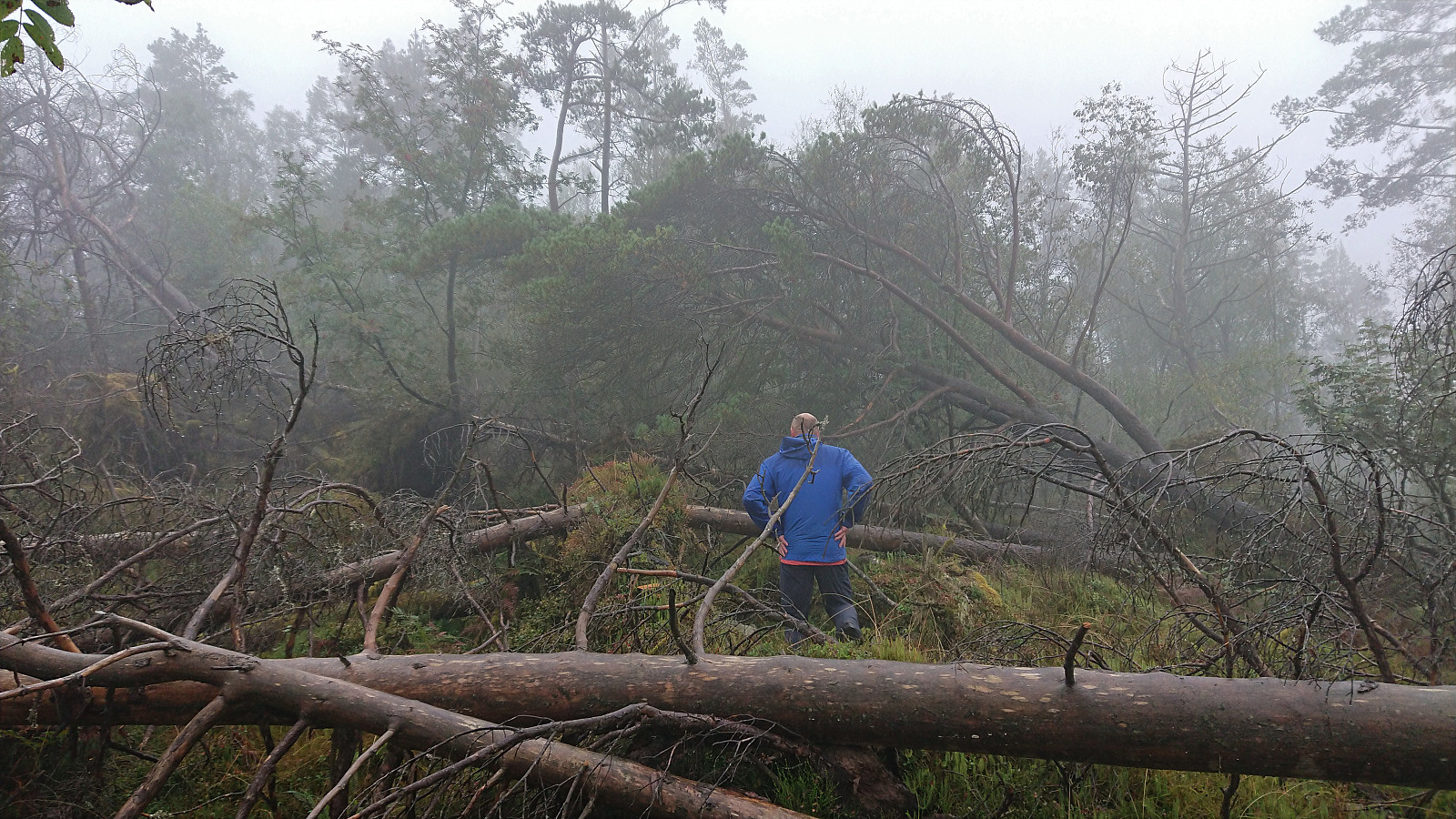
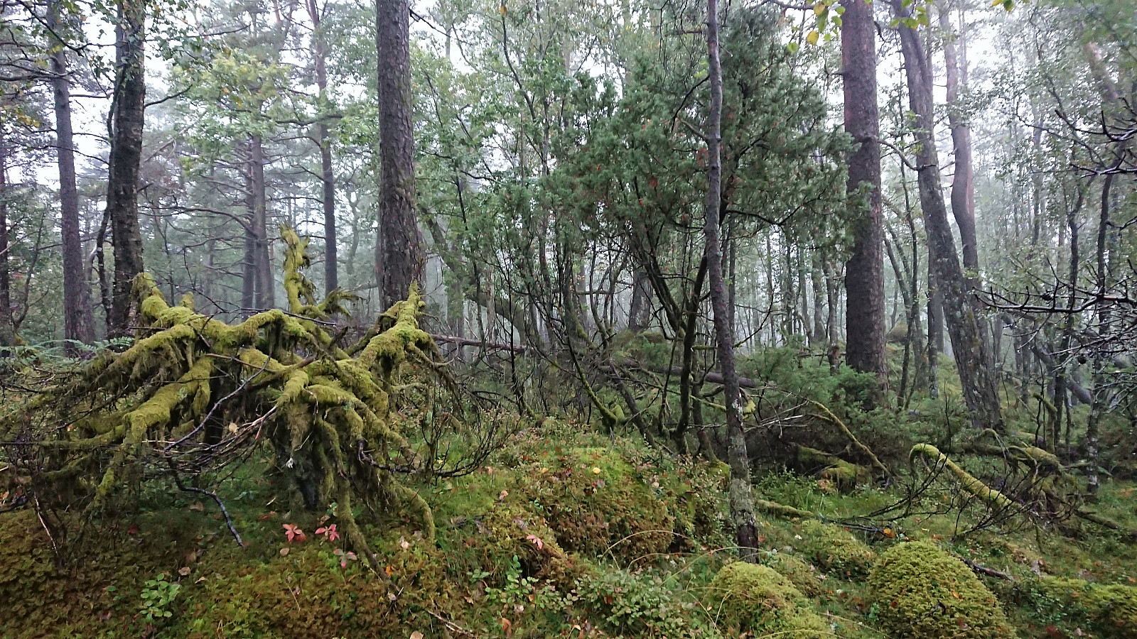
Upon reaching the lake, we shortly followed a nice trail before heading off-trail in the direction of the summit. Getting to the summit did not present any real difficulties, but there were plenty of fallen trees that we had to go over/under/around.
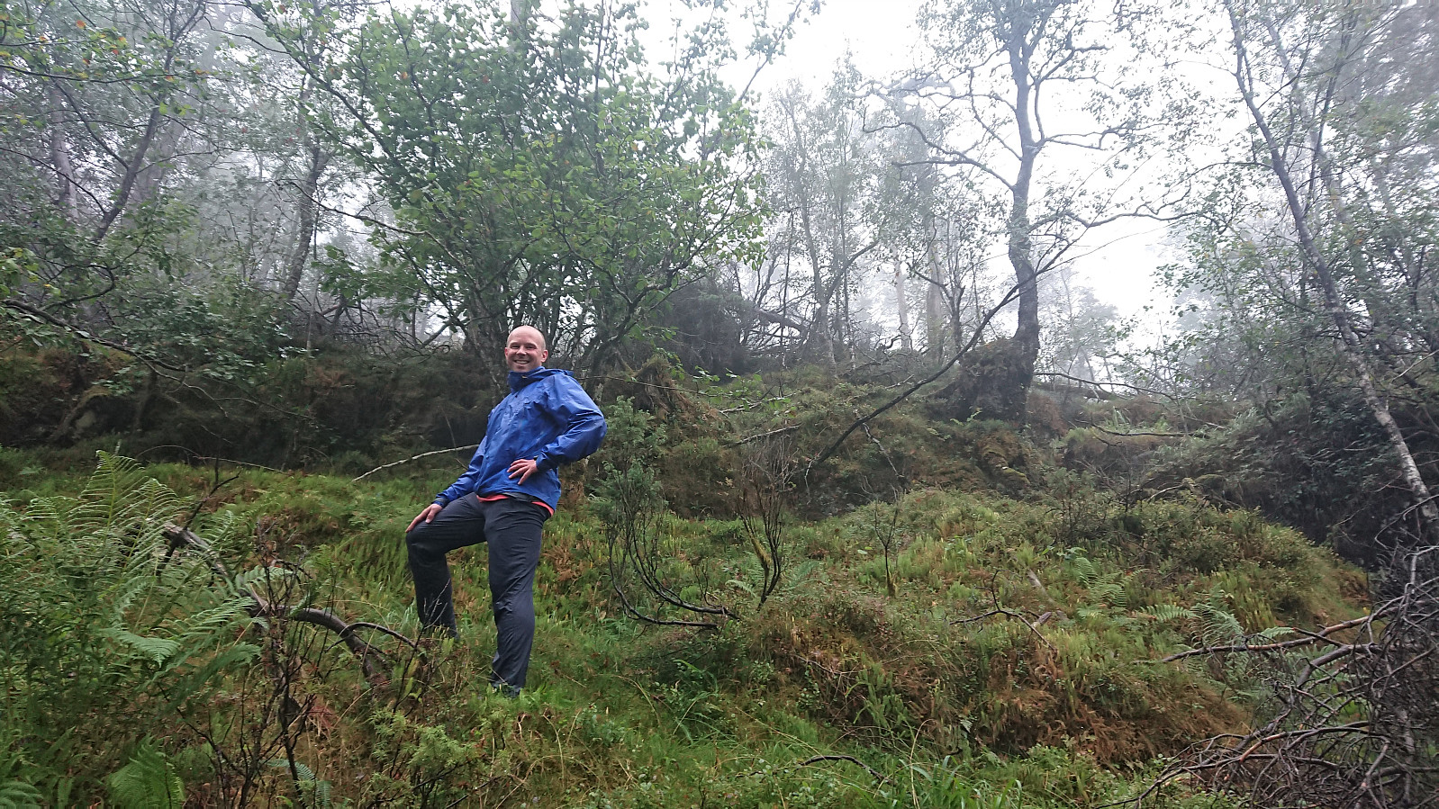
As expected, the summit did not provide any views, but we still hung around for a couple of minutes trying to figure out where the highest point was. As far as we could tell there were three equally high points pretty close to each other, with no clear winner. We therefore quickly passed by all three before starting our descent along more or less the same route (but of course skipping the detour towards the 122 hill).
In summary, a short trip to an uninteresting summit that most hikers will not feel the need to visit. Been there, done that. No need to go back. ;)
| Start date | 11.09.2021 10:59 (UTC+01:00 DST) |
| End date | 11.09.2021 11:55 (UTC+01:00 DST) |
| Total Time | 0h 55min |
| Moving Time | 0h 50min |
| Stopped Time | 0h 5min |
| Overall Average | 2.4km/h |
| Moving Average | 2.6km/h |
| Distance | 2.2km |
| Vertical meters | 169m |


User comments