
Vikefjell, Toraksla and Opsangerneset (25.02.2024)

Skrevet av hbar (Harald Barsnes)

| Startsted | Sunde båtkai (2moh) |
|---|---|
| Sluttsted | Sunde båtkai (2moh) |
| Turtype | Fjelltur |
| Turlengde | 2t 47min |
| Distanse | 10,1km |
| Høydemeter | 434m |
| GPS |
|
| Bestigninger | Toraksla (125moh) | 25.02.2024 |
|---|---|---|
| Vikefjell (198moh) | 25.02.2024 | |
| Andre besøkte PBE'er | Opsangerneset (7moh) | 25.02.2024 |
| Sunde ferjekai parkering (3moh) | 25.02.2024 | |
| Søre Vikefjell (185moh) | 25.02.2024 |
Vikefjell, Toraksla and Opsangerneset
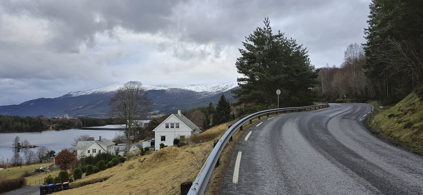
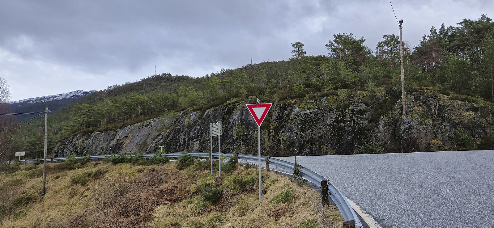
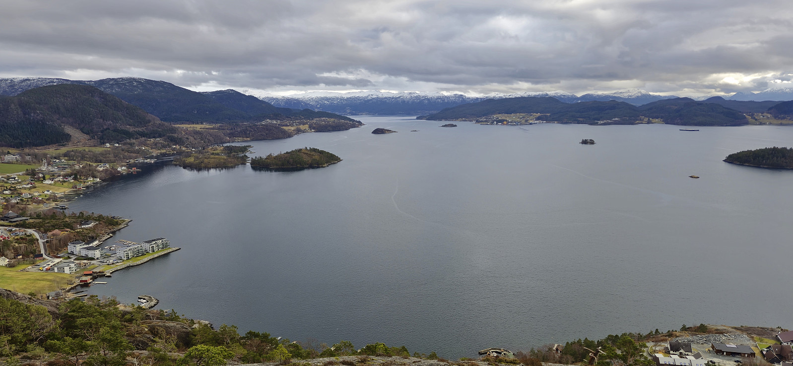
Ever since Petter and I ran out of time during our visit of Halsnøy and Husnes last June, I had had plans to return to also visit Vikefjell, but this time via the express boat from Bergen. The boat took around two hours and after disembarking I followed the roads east towards the southern trailhead for Vikefjell. No sidewalks but thankfully not a lot of traffic.
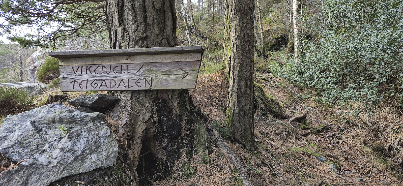
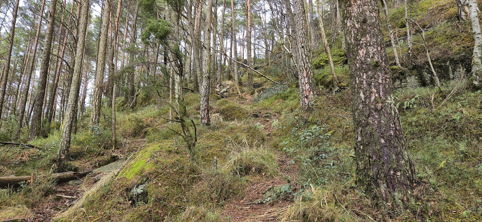
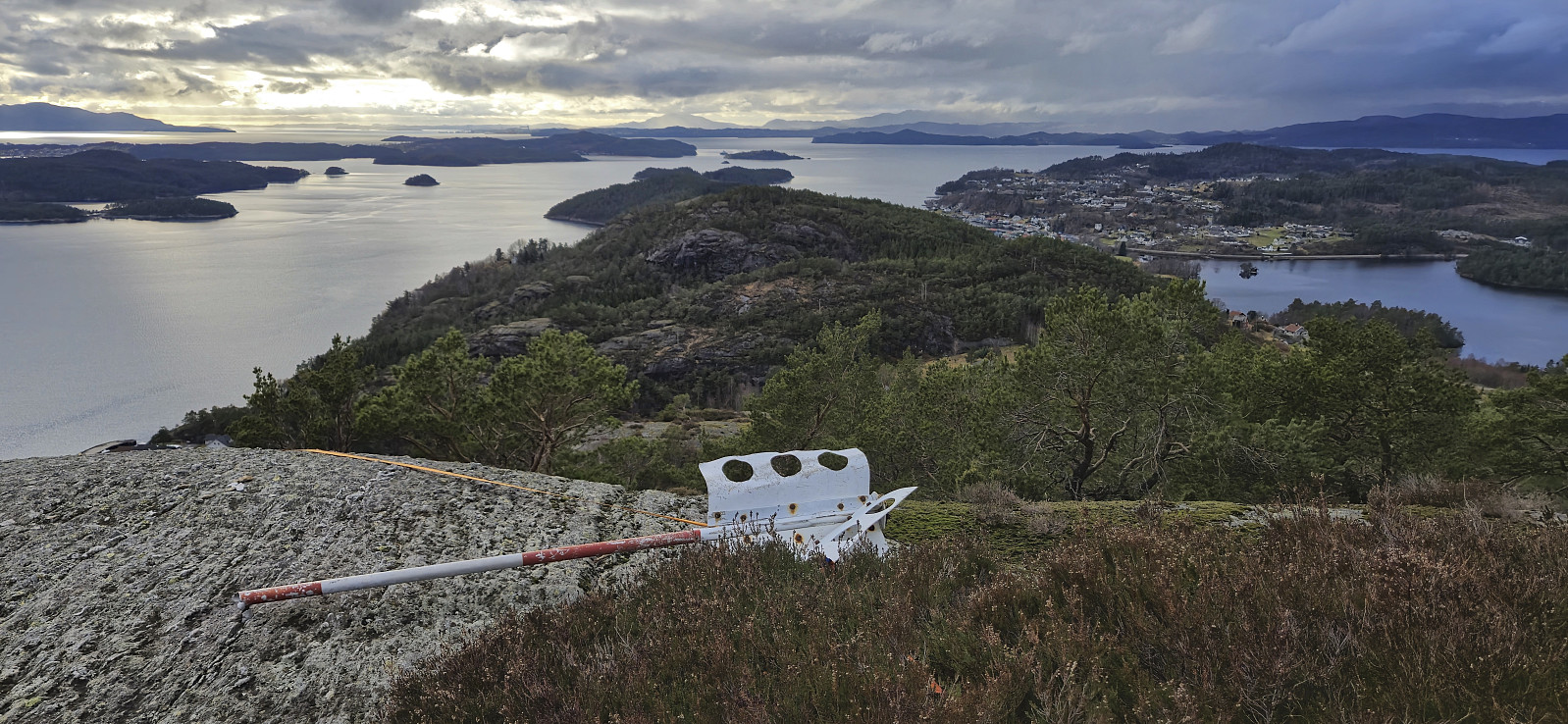
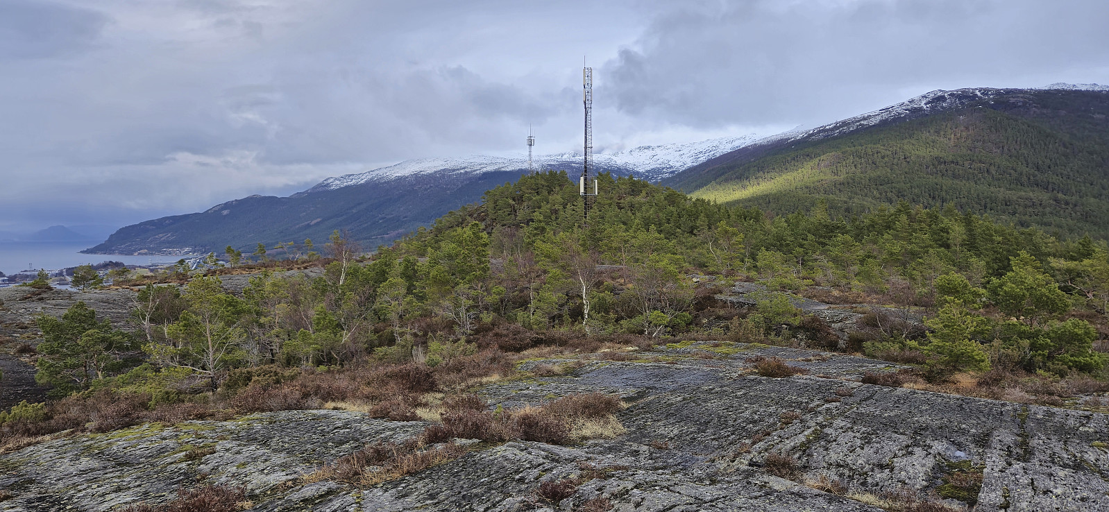
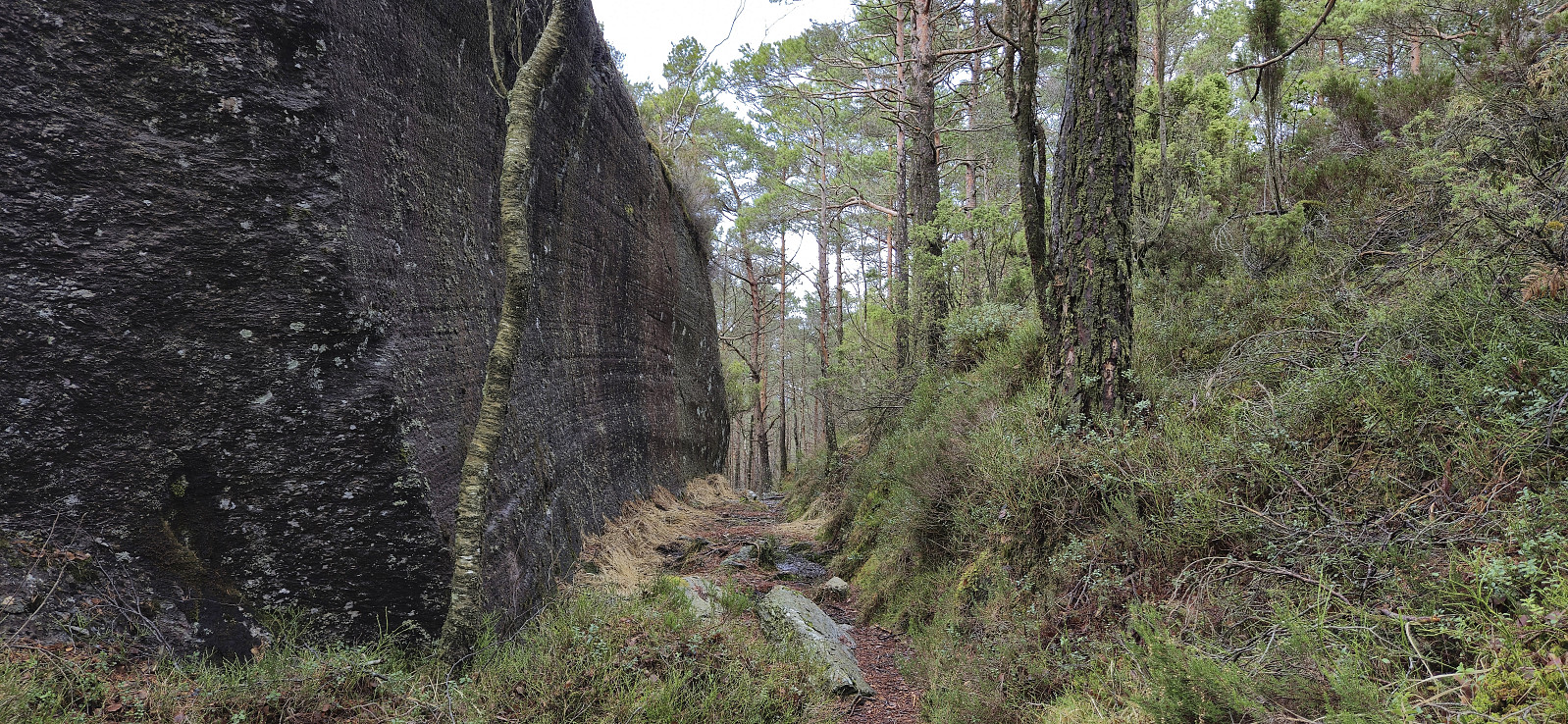
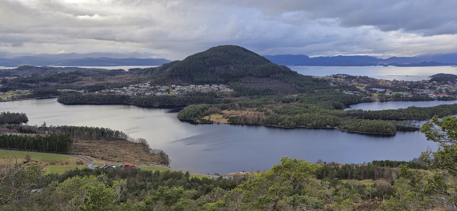
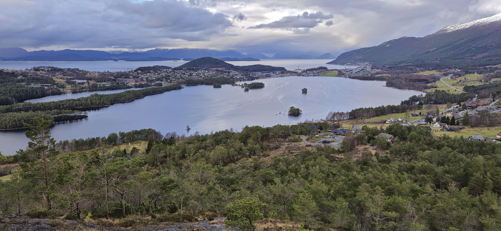
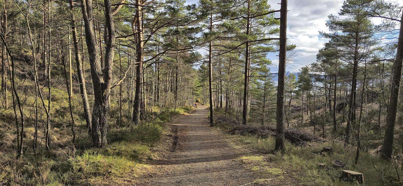
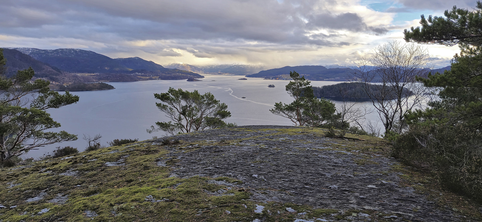
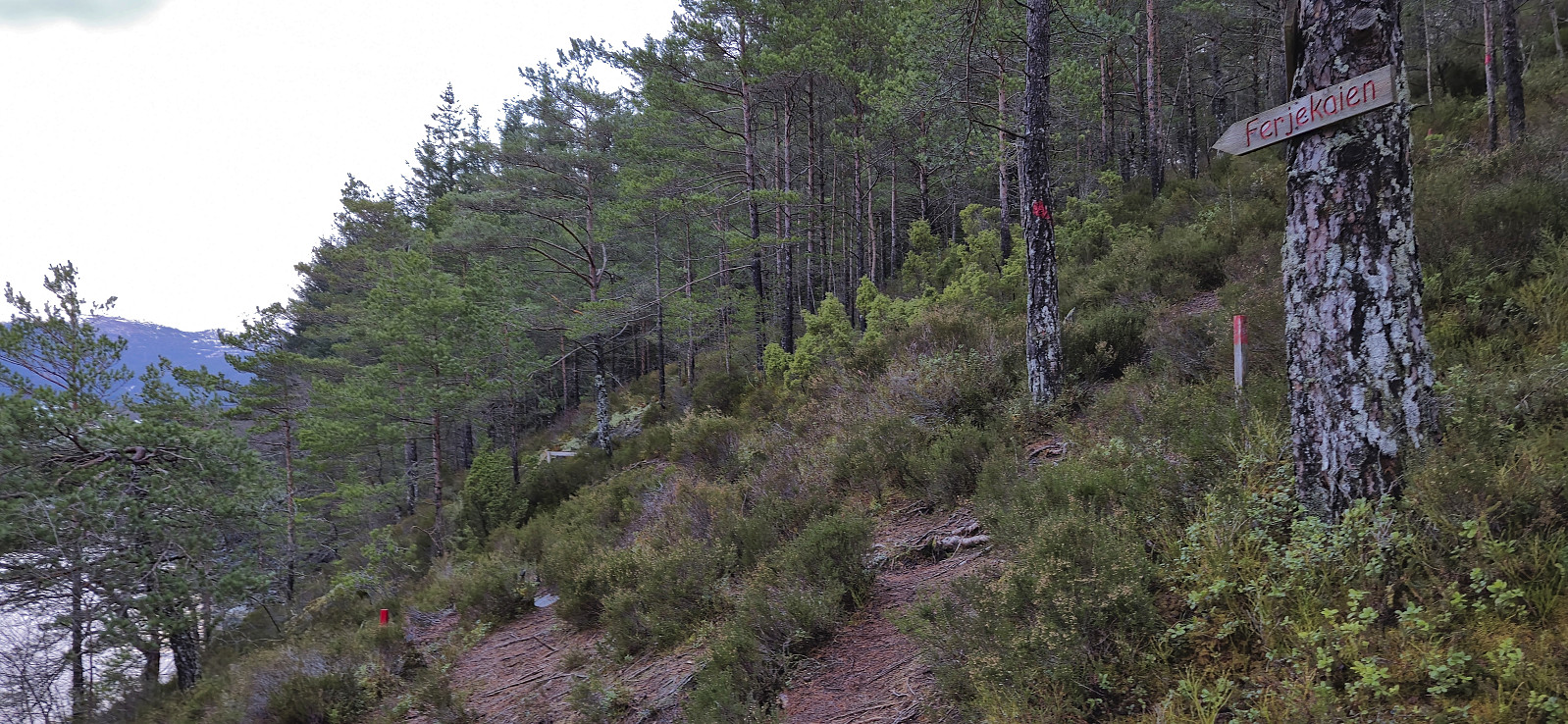
The marked trailhead was easily located and I proceeded to follow an initially rather steep trail up to Søre Vikefjell where I took a short break to enjoy the excellent views. From there it was only a short distance to the highest point at Vikefjell, referred to as Nordre Vikefjell. Ok views here as well but more limited than Søre Vikefjell. I continued east along the marked trail until connecting with the gravel road in Teigadalen. Here I turned south and headed down to the main road before turning west and returning to the trailhead (and for once there were even sidewalks, at least at the beginning).
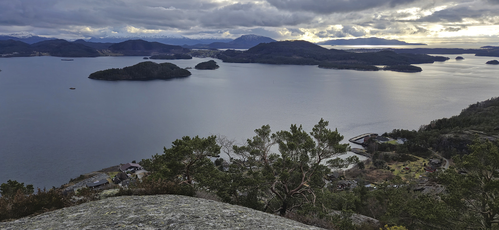
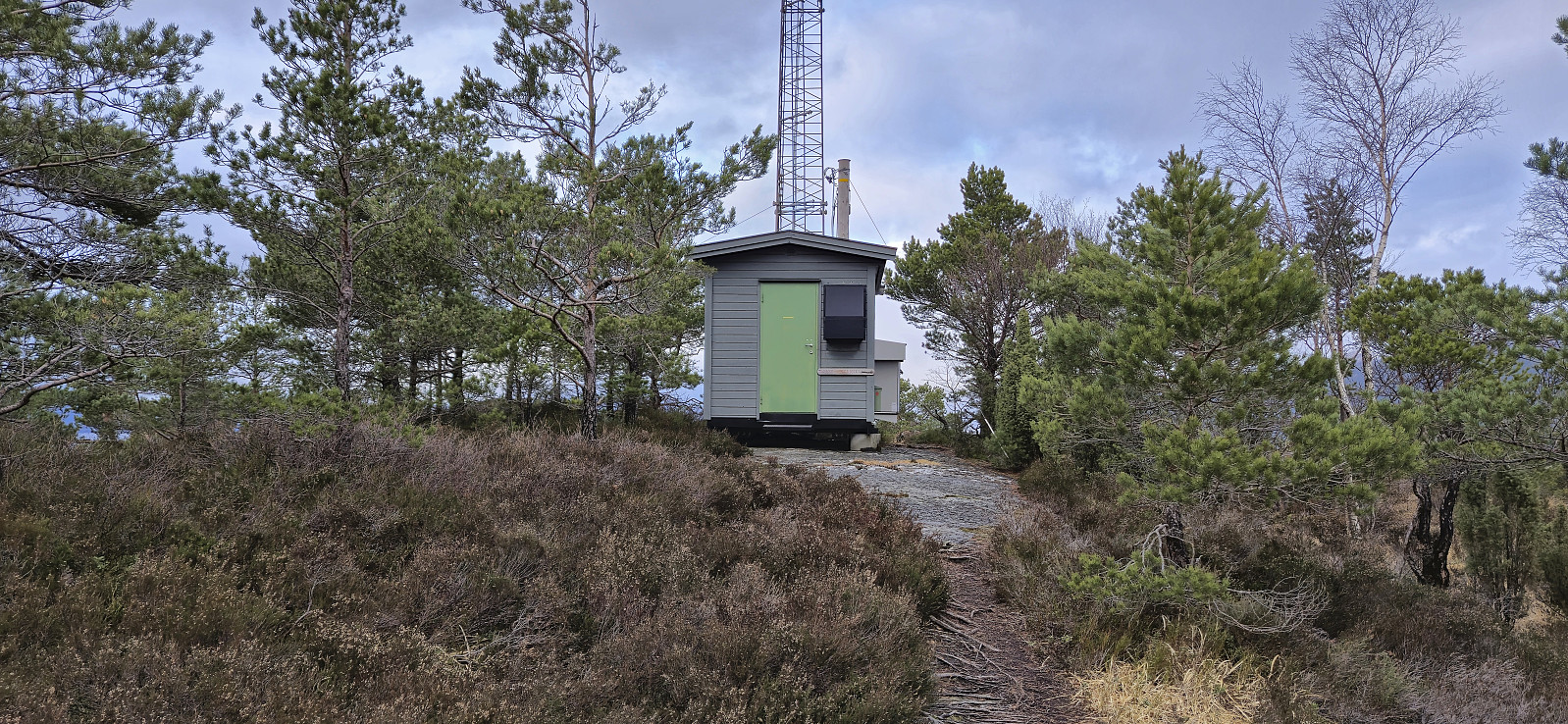
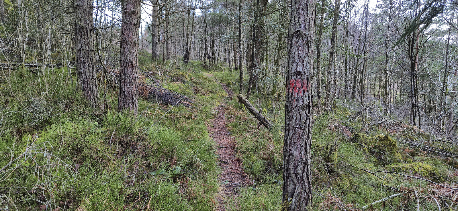
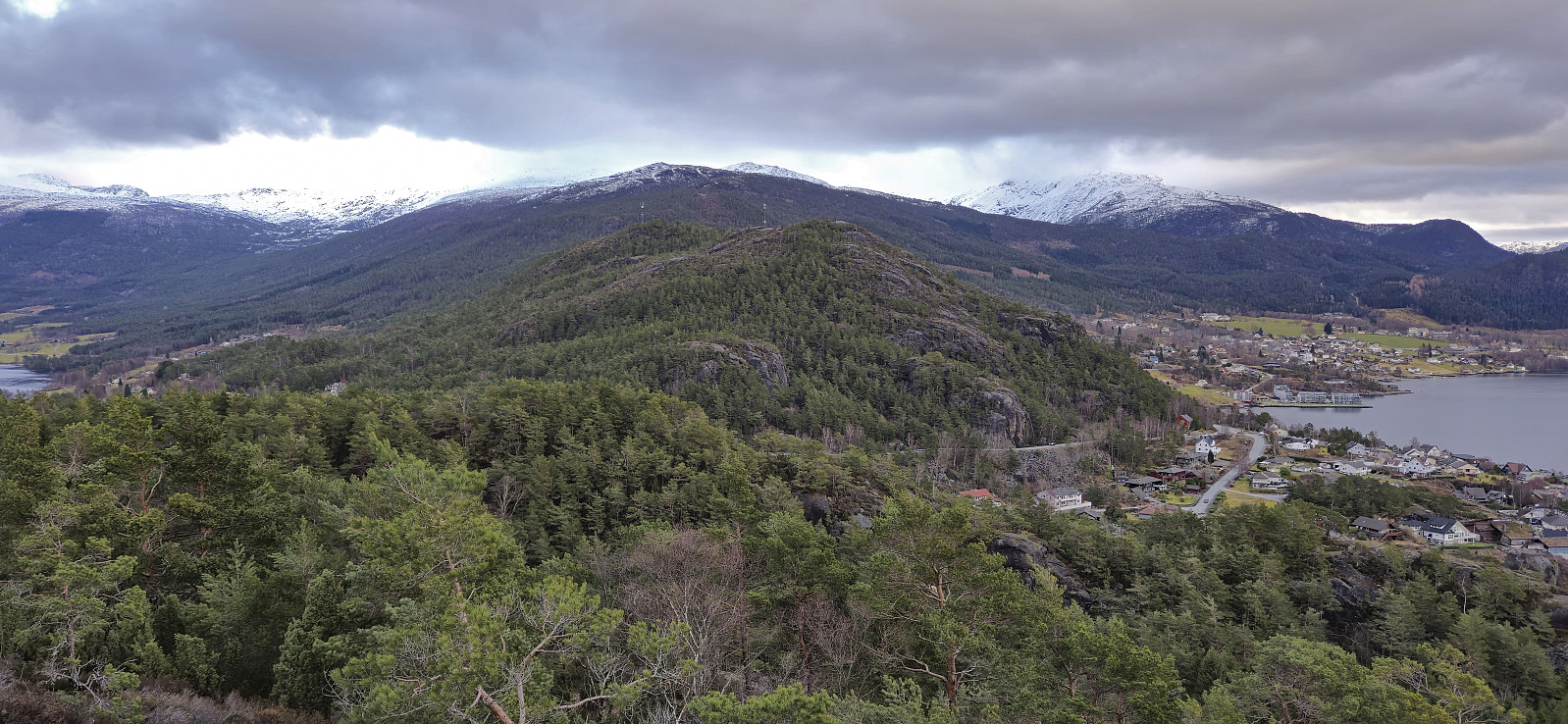
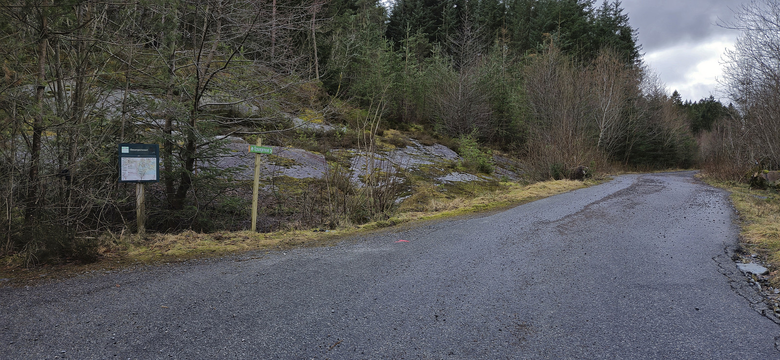
I still had plenty of time before the boat back to Bergen and decided to also ascend to Toraksla. A previous trip report mentioned a marked trailhead] but did not provide an exact location. I had however not spotted the sign when following the roads to the Vikefjell trailhead and was just about to give up when finally coming across it. A marked trail then lead me all the way to the summit (although the first fork, where one should turn left, was not properly marked). Nice views from the summit but not at the level of Søre Vikefjell.
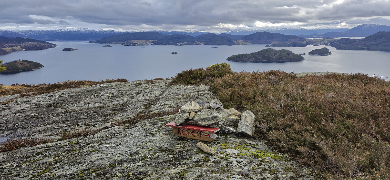
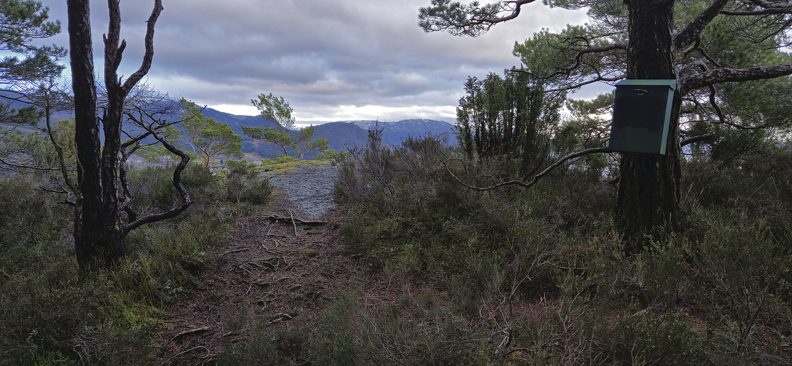
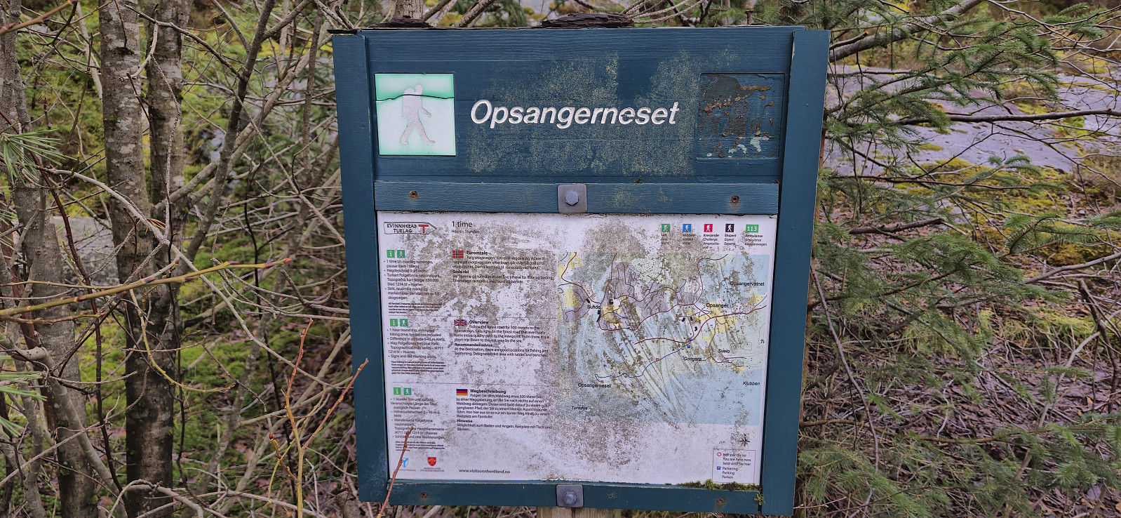
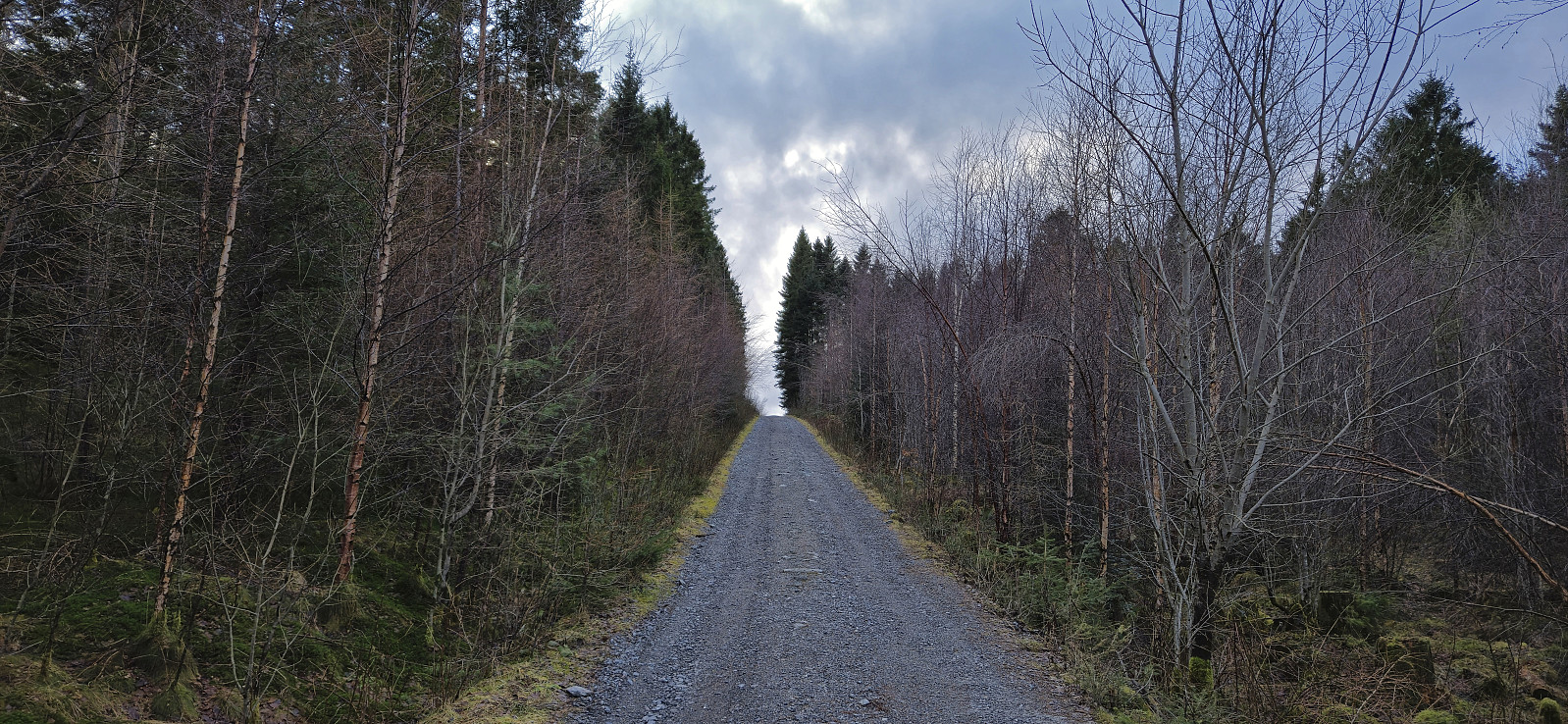
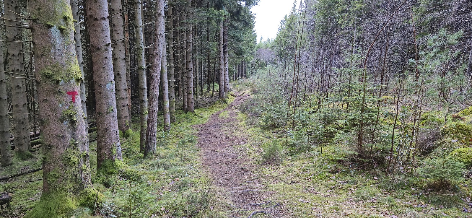
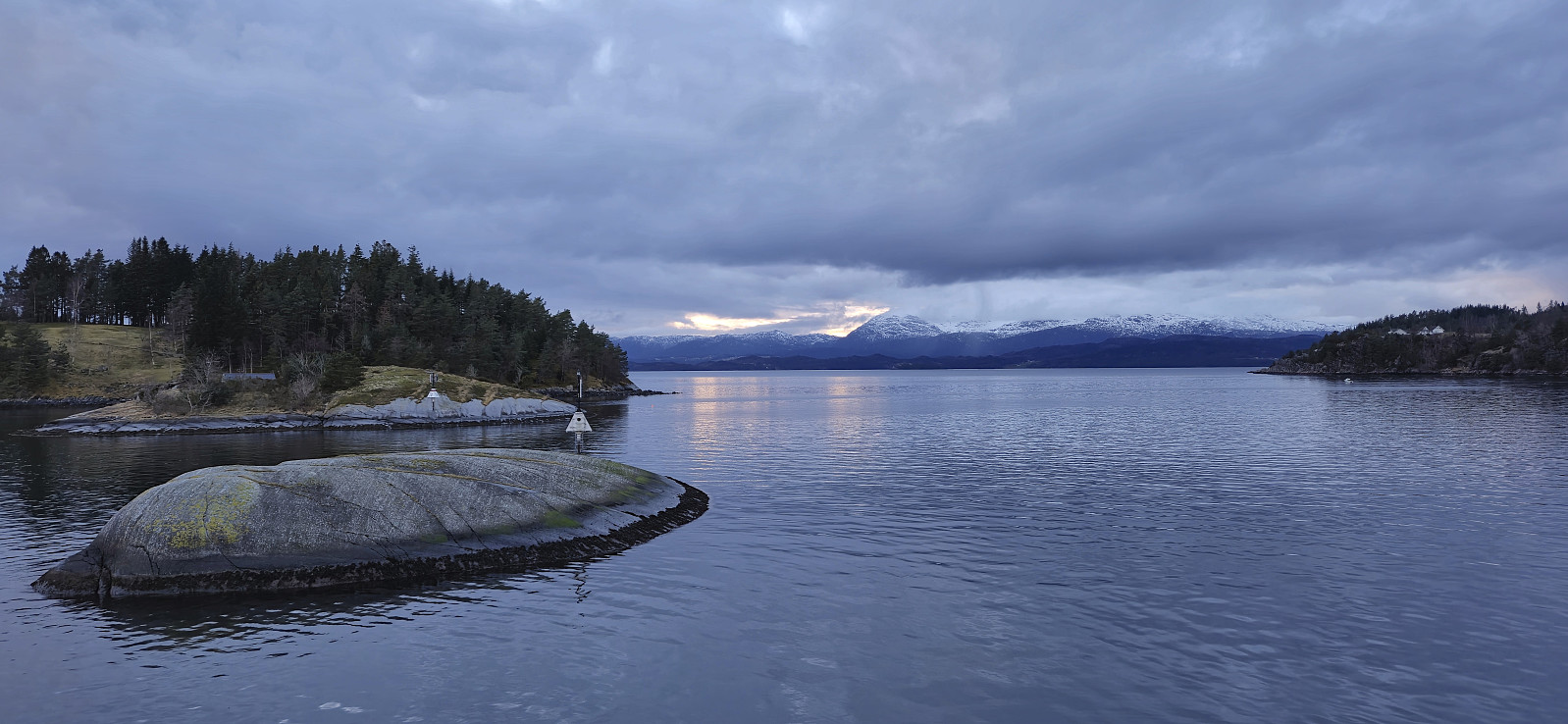
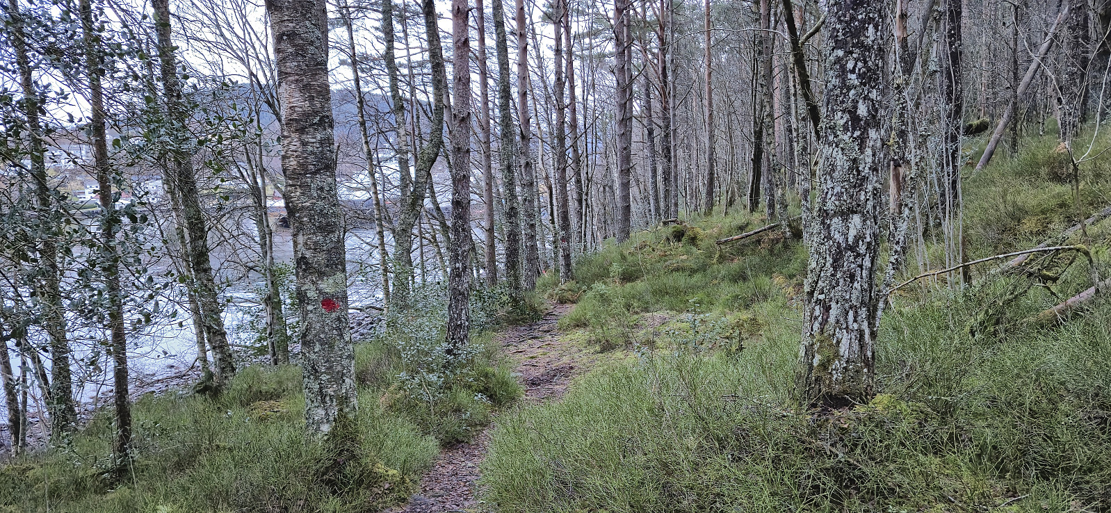
I descended the same way (even though the trail continued north from the summit, probably indicating a potential roundtrip?) and decided that I also had time to visit Opsangerneset, which I had come across in an earlier trip report and had even seen signs for close to the start of my hike. This included first following a gravel road and then a marked trail. After a couple of pictures I returned to Sunde båtkai via an alternative marked trail along the fjord, making it there with around 25 minutes to spare, most of which was spent inside the warm waiting room.
To conclude, an excellent short hike with great views along the way.


| Starttidspunkt | 25.02.2024 14:46 (UTC+01:00) |
| Sluttidspunkt | 25.02.2024 17:34 (UTC+01:00) |
| Totaltid | 2t 47min |
| Bevegelsestid | 2t 38min |
| Pausetid | 0t 8min |
| Snittfart totalt | 3,6km/t |
| Snittfart bevegelsestid | 3,8km/t |
| Distanse | 10,1km |
| Høydemeter | 434m |


Kommentarer