
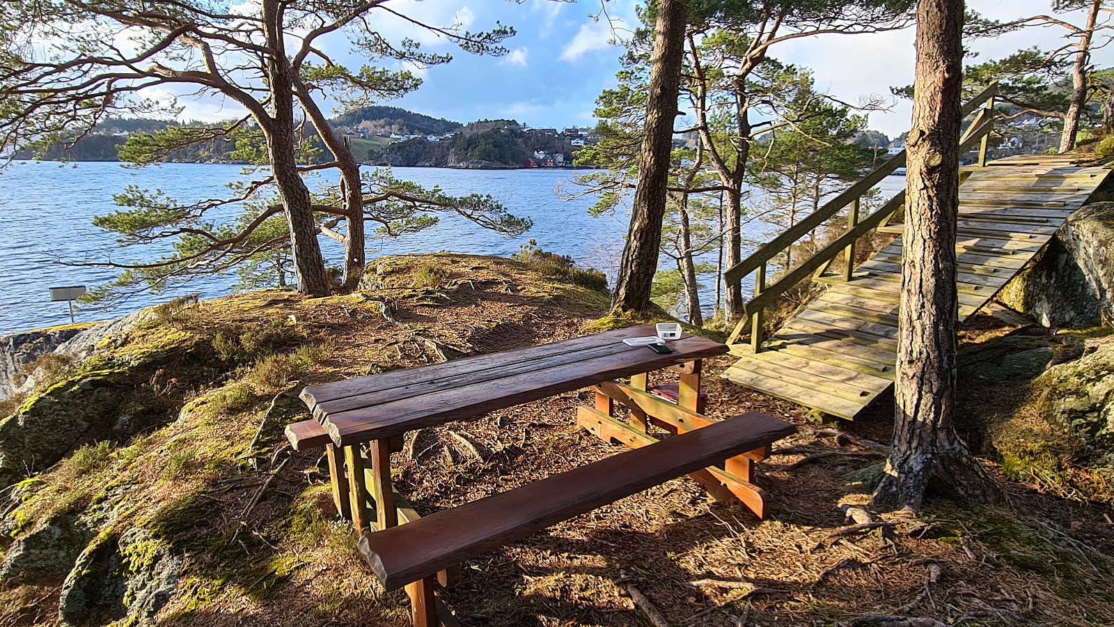
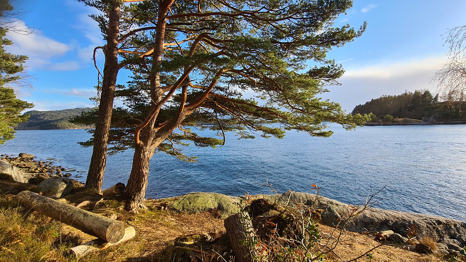
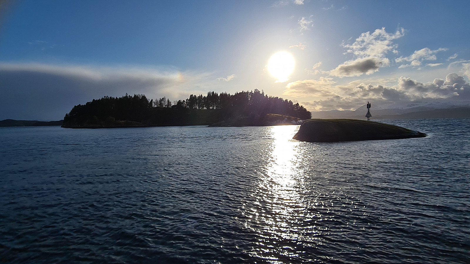
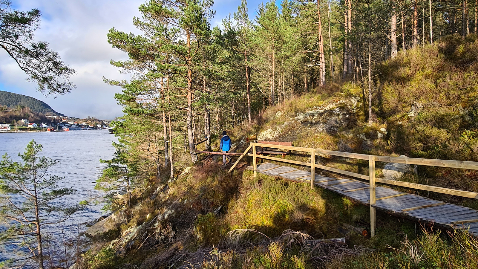
Kvinnherad - Opsangerneset 7m (09.04.2021)

Skrevet av Robert7777 (Robert Grod)

| Turtype | Fottur |
|---|---|
| Turlengde | 1t 01min |
| Distanse | 2,7km |
| Høydemeter | 83m |
| GPS |
|
| Andre besøkte PBE'er | Opsangerneset (7moh) | 09.04.2021 18:28 |
|---|---|---|
| Sunde ferjekai parkering (3moh) | 09.04.2021 18:28 |
Kvinnherad - Opsangerneset 7m
Trasa 18 w Kvinnherad kommune (Ślady w Norwegii)
Dane z gps (09.04.21r) :
Stopień trudności: Zielony
Odległość: 2,70 km
Czas: 1 godz : 01 min
Średnia prędkość: 2,66 km / godz.
Średnie tempo: 22:56 min / km
Minimalna wysokość: 5 m
Maksymalna wysokość: 47 m
Różnica wzniesień: 83 m
Punkty doświadczenia: 5
Punkty wpisów : Opsangerneset
Punkt startowy : RPMH+2F Sunde i Sunnhordland
Punkt końcowy : RPMH+2F Sunde i Sunnhordland
Parking 1 : RPMH+2G Sunde i Sunnhordland
Parking 2 : RPJ9+VW Sunde, Kvinnherad


Kommentarer