
Searching for Fjeldborg - Part III (27.04.2021)

Skrevet av hbar (Harald Barsnes)

| Startsted | Nattlandsfjellet (226moh) |
|---|---|
| Sluttsted | Haukeland sykehus (51moh) |
| Turtype | Fjelltur |
| Turlengde | 3t 16min |
| Distanse | 8,7km |
| Høydemeter | 401m |
| GPS |
|
| Bestigninger | Landåsfjellet (428moh) | 27.04.2021 |
|---|---|---|
| Landåsfjellet trigpunkt (427moh) | 27.04.2021 | |
| Ormhaugen (414moh) | 27.04.2021 | |
| Orrehaugane (415moh) | 27.04.2021 | |
| Andre besøkte PBE'er | Baunehytten (390moh) | 27.04.2021 |
| Berlehytten (ruin) (378moh) | 27.04.2021 | |
| Bryterhytten (tuft) (399moh) | 27.04.2021 | |
| Jotneberg (401moh) | 27.04.2021 | |
| Jotneberg d.e. (tuft) (391moh) | 27.04.2021 | |
| Landåsfjellet utsiktspunkt (397moh) | 27.04.2021 | |
| Nordre Nattlandsfjellet p-plass (230moh) | 27.04.2021 | |
| Ravnegrind (228moh) | 27.04.2021 |
Searching for Fjeldborg - Part III
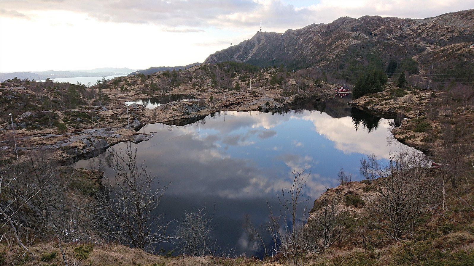
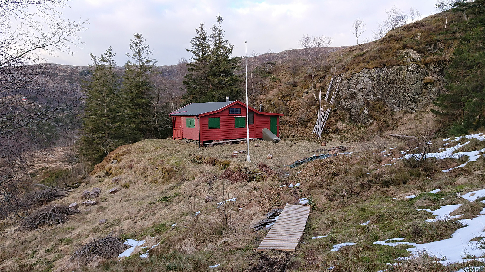
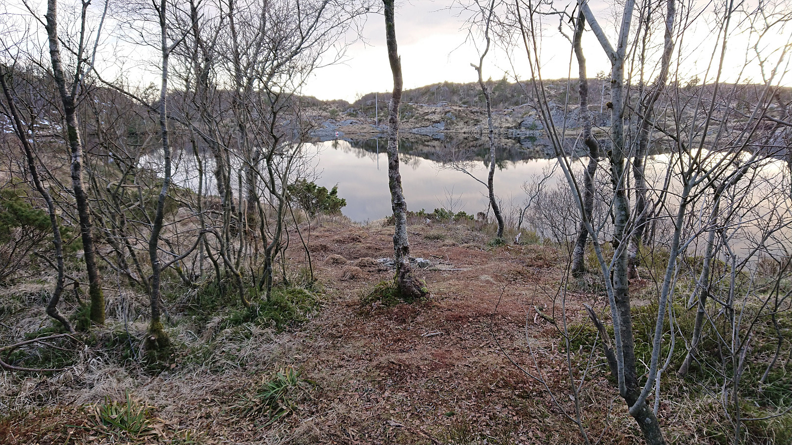
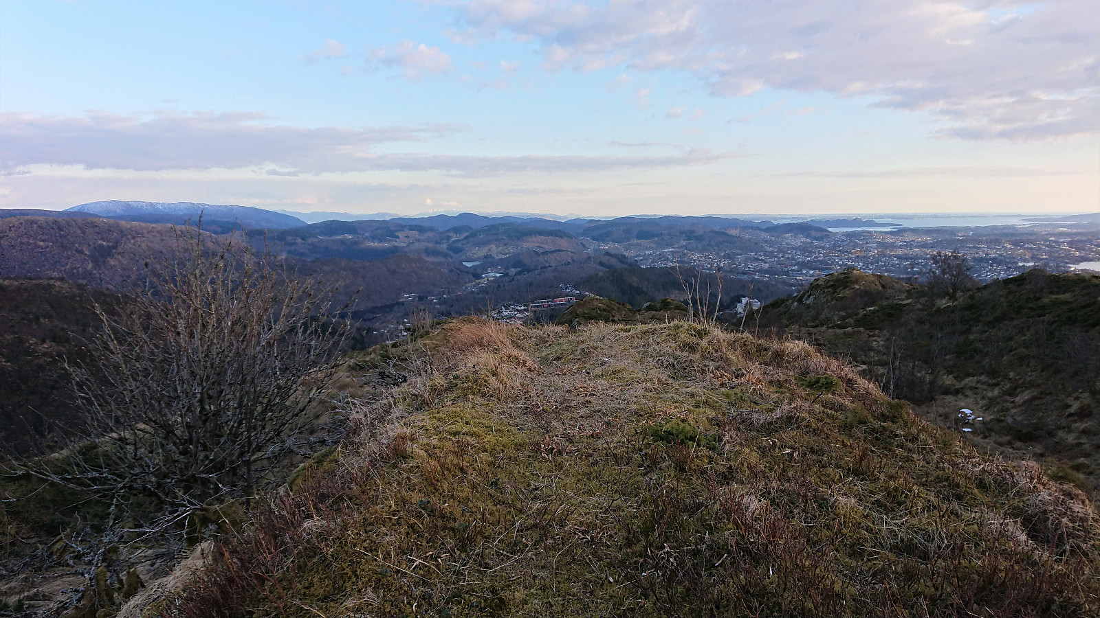
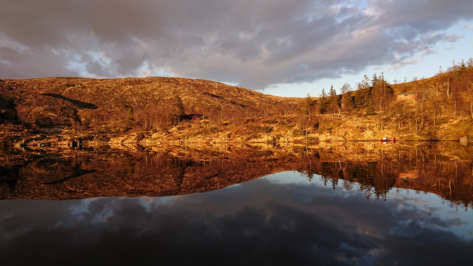
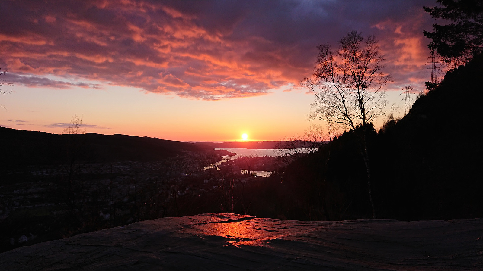
Another return to Landåsfjellet to continue my search for the ruins of Fjeldborg (see my two earlier attempts here and here), this time mainly focusing on the area south/southwest of Berlehytten. Fewer locations to inspect here, as the terrain is generally too steep to match the pictures in Bergensernes Fjellverden II, but no success this time either. In order to get something new out of the hike, I then headed for the suggested location of Jotneberg d.e. as Kjell51 (Kjell Øijorden) had indicated in his trip report a month earlier. The suggested spot was easily located, although I could not find any traces of the cabin itself, probably due to most of it having been reused when building the new Jotneberg close by. Before heading home, I also made a detour to the summit of Landåsfjellet before enjoying some excellent views across Nubbevatnet as the sun finally decided to appear. The hike was then concluded by crossing over Ormhaugen in the setting sun on my way down to Haukeland sykehus and the bus home.
Update: It later turned out that I had visited the location of Fjeldborg without realizing it as part of my initial search. See knutsverre (Knut S. Andersen)'s report from May 12th 2021.
| Starttidspunkt | 27.04.2021 18:34 (UTC+01:00 ST) |
| Sluttidspunkt | 27.04.2021 21:50 (UTC+01:00 ST) |
| Totaltid | 3t 16min |
| Bevegelsestid | 2t 52min |
| Pausetid | 0t 23min |
| Snittfart totalt | 2,7km/t |
| Snittfart bevegelsestid | 3,0km/t |
| Distanse | 8,7km |
| Høydemeter | 400m |


Kommentarer