
Solsævatnet to Ljosandbotn via Skorafjellet and Mjølfjellet (17.08.2025)

Written by hbar (Harald Barsnes)

| Start point | Ulsberg (312m) |
|---|---|
| Endpoint | Ljosandbotn train station (706m) |
| Characteristic | Hillwalk |
| Duration | 8h 00min |
| Distance | 20.4km |
| Vertical meters | 1,833m |
| GPS |
|
| Ascents | Skorafjellet (1,583m) | 17.08.2025 14:30 |
|---|---|---|
| Mjølfjellet (1,470m) | 17.08.2025 17:02 | |
| Mjølfjellet Nordvest (1,374m) | 17.08.2025 17:33 | |
| Visits of other PBEs | Rubbelii (480m) | 17.08.2025 11:48 |
| Snikop (offervarde) (1,160m) | 17.08.2025 13:26 | |
| Gummen (løftestein) (1,237m) | 17.08.2025 16:13 | |
| Mjølfjellet varde (1,167m) | 17.08.2025 18:04 | |
| Kleivelvi bro ved Kårdal (625m) | 17.08.2025 18:38 | |
| Ljosandbotn haldeplass (706m) | 17.08.2025 18:56 |
Solsævatnet to Ljosandbotn via Skorafjellet and Mjølfjellet
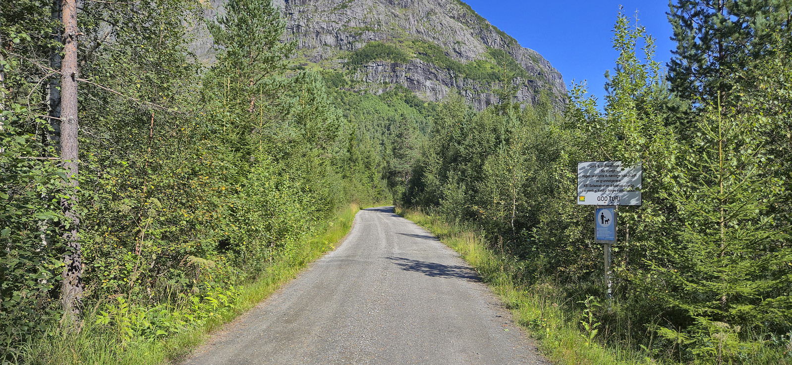
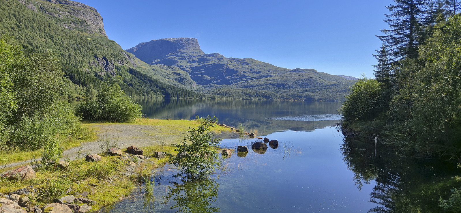
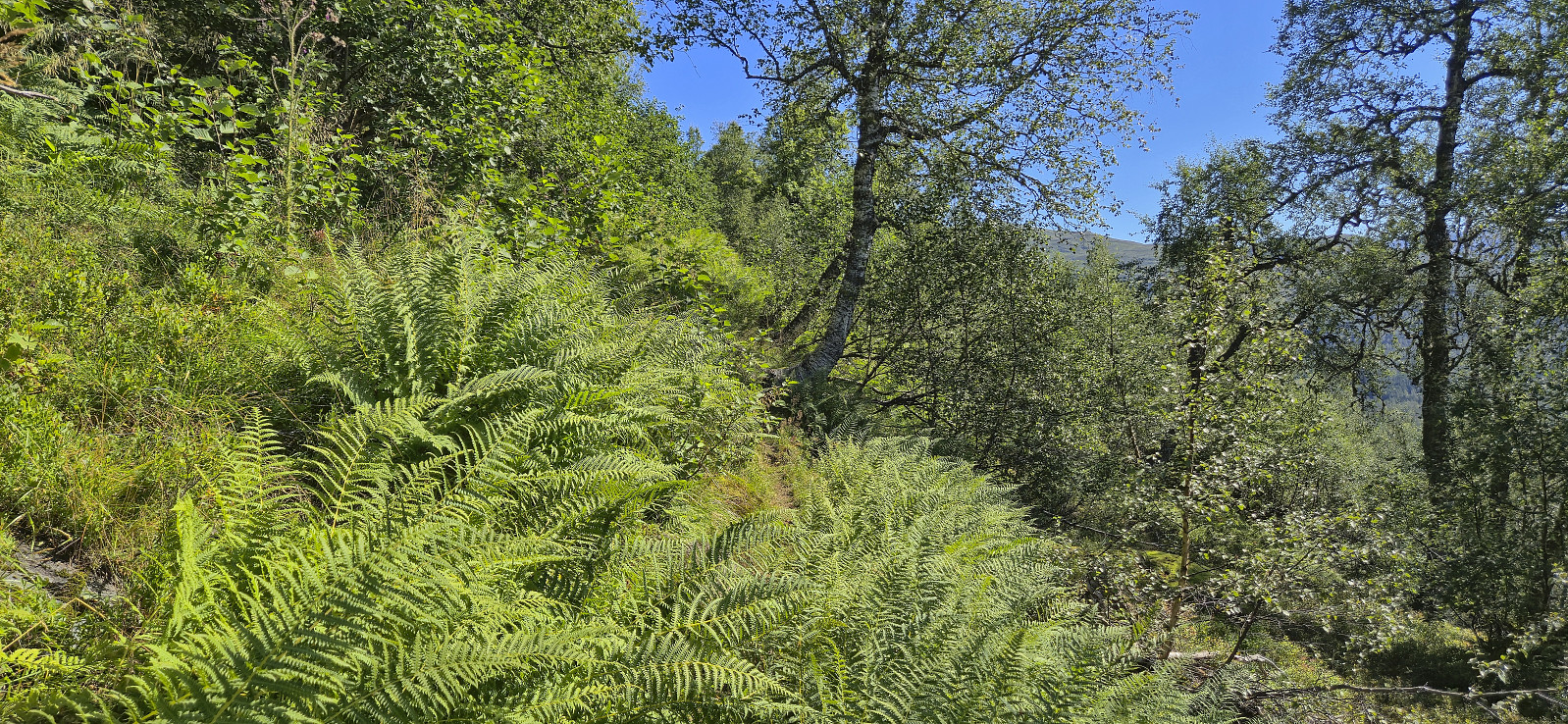
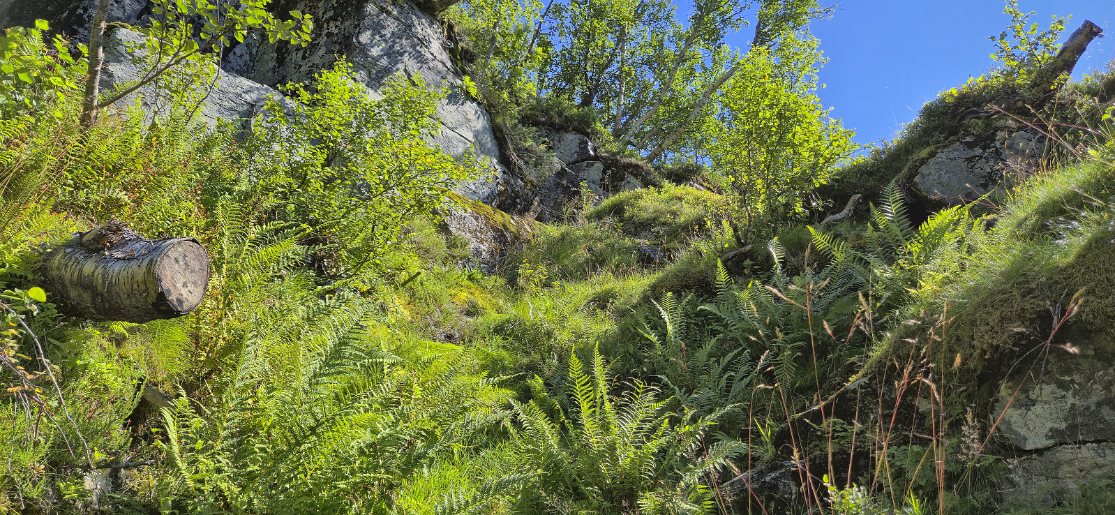
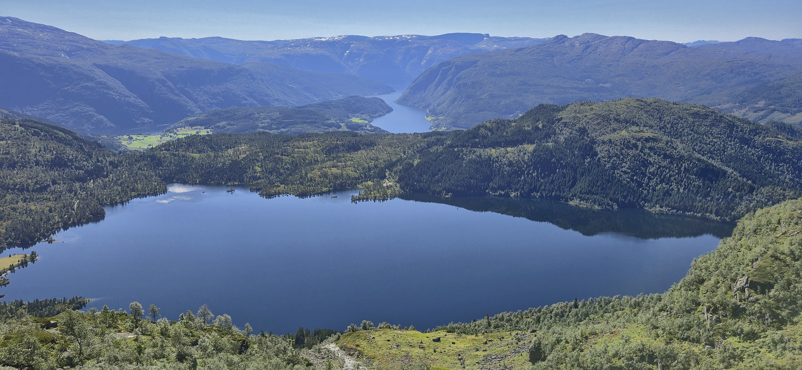
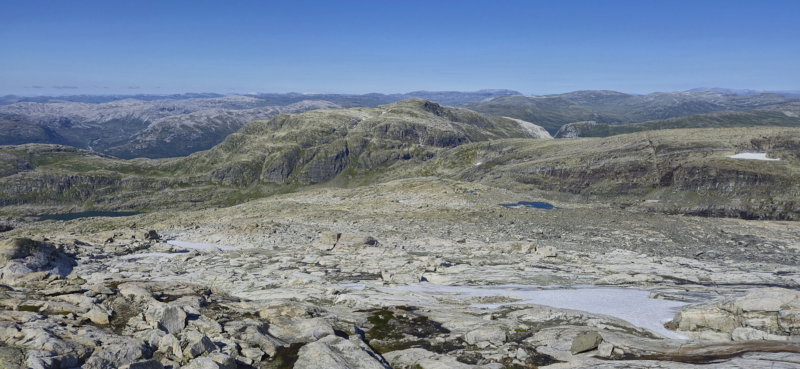
On a Sunday in mid-August where the warm summer weather made a comeback, I hopped on a train Voss and from there continued by bus to Ulsberg, where I for the second time had to help the bus driver locate the bus stop (see my hike to Kjerringafjellet and Kvasshovden). After getting off the bus, I first followed the gravel road to Solsævatnet and then continued on the unmarked trail via Rubbelii to Nedre Skor. This was overall straightforward with the main challenge being to spot the trail between the numerous tall ferns doing their best to hide it.
I think I made a wrong turn after crossing the stream west of Rubbelii though, descending to the lake instead of continuing upwards. I therefore shortly ended up on a much weaker trail before reconnecting with the main trail. (Note that there is also a trail going around the lake. So be sure not to follow that one either.)
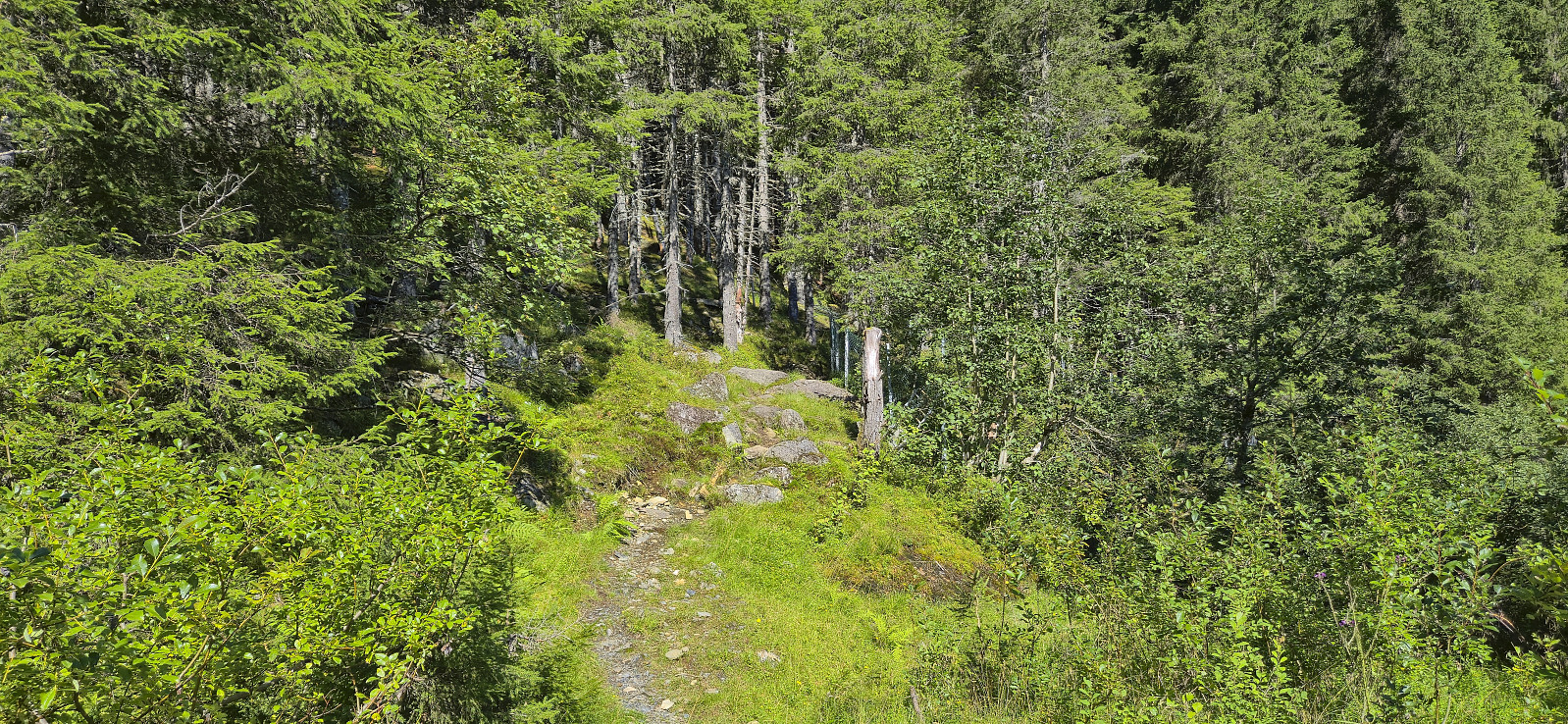
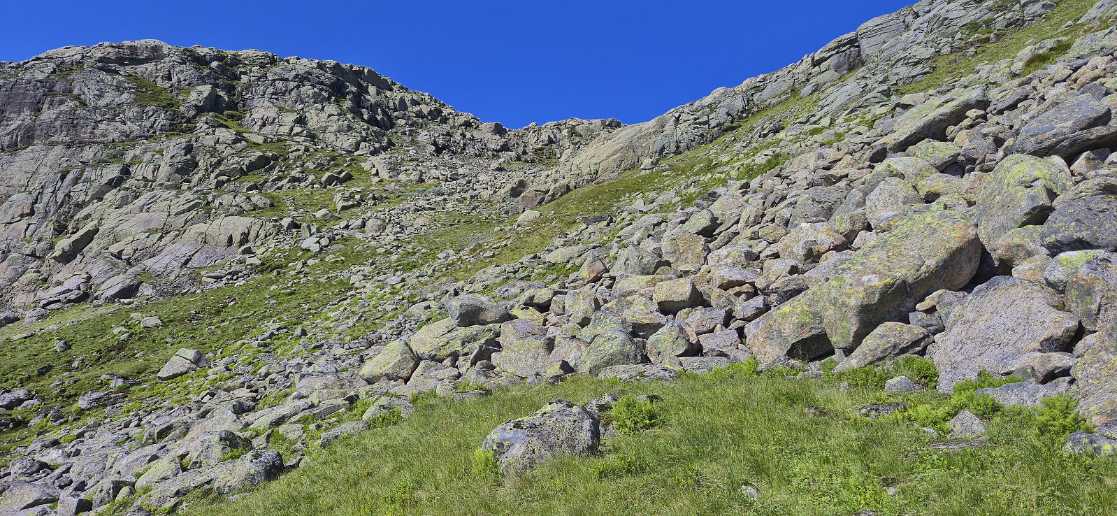
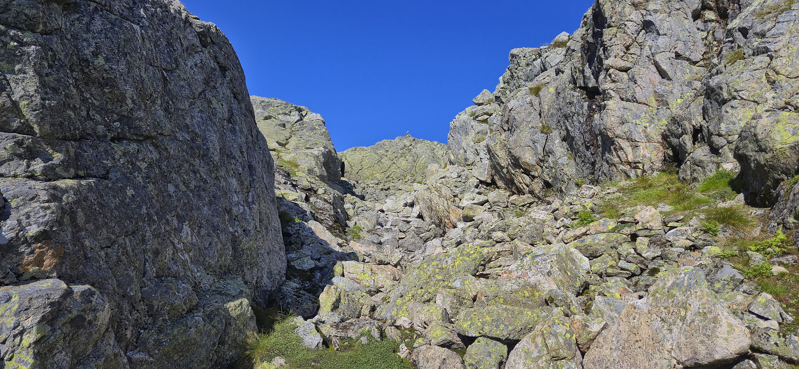
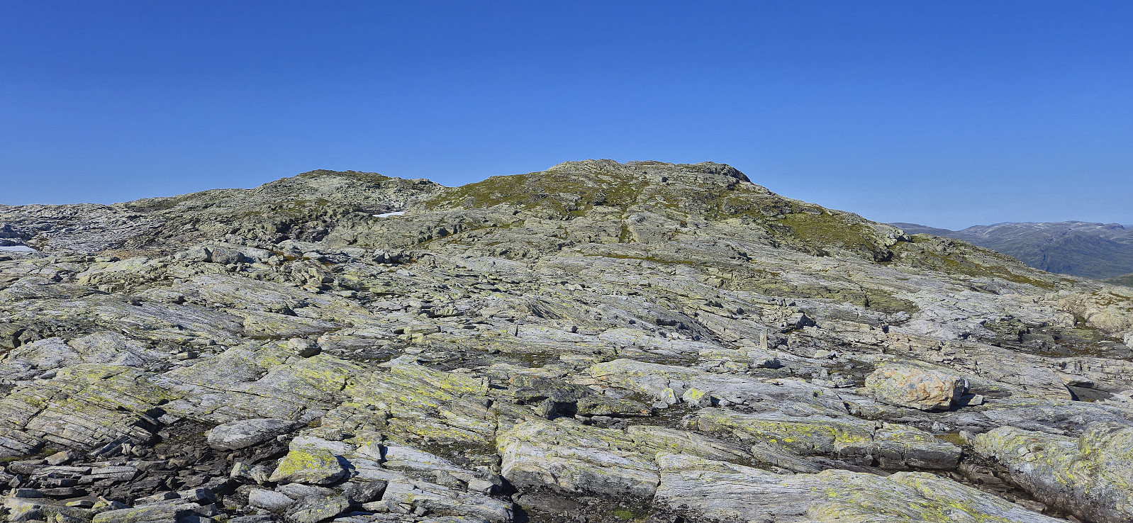
When getting to Nedre Skor, I briefly lost the trail when crossing the open field with grazing sheep but thankfully relocated it after crossing Skorelvi, as the ascent would have been much more challenging without it. The trail got weaker as I turned towards Langekroken and had pretty much disappeared before I got up to Hyrnaskar.
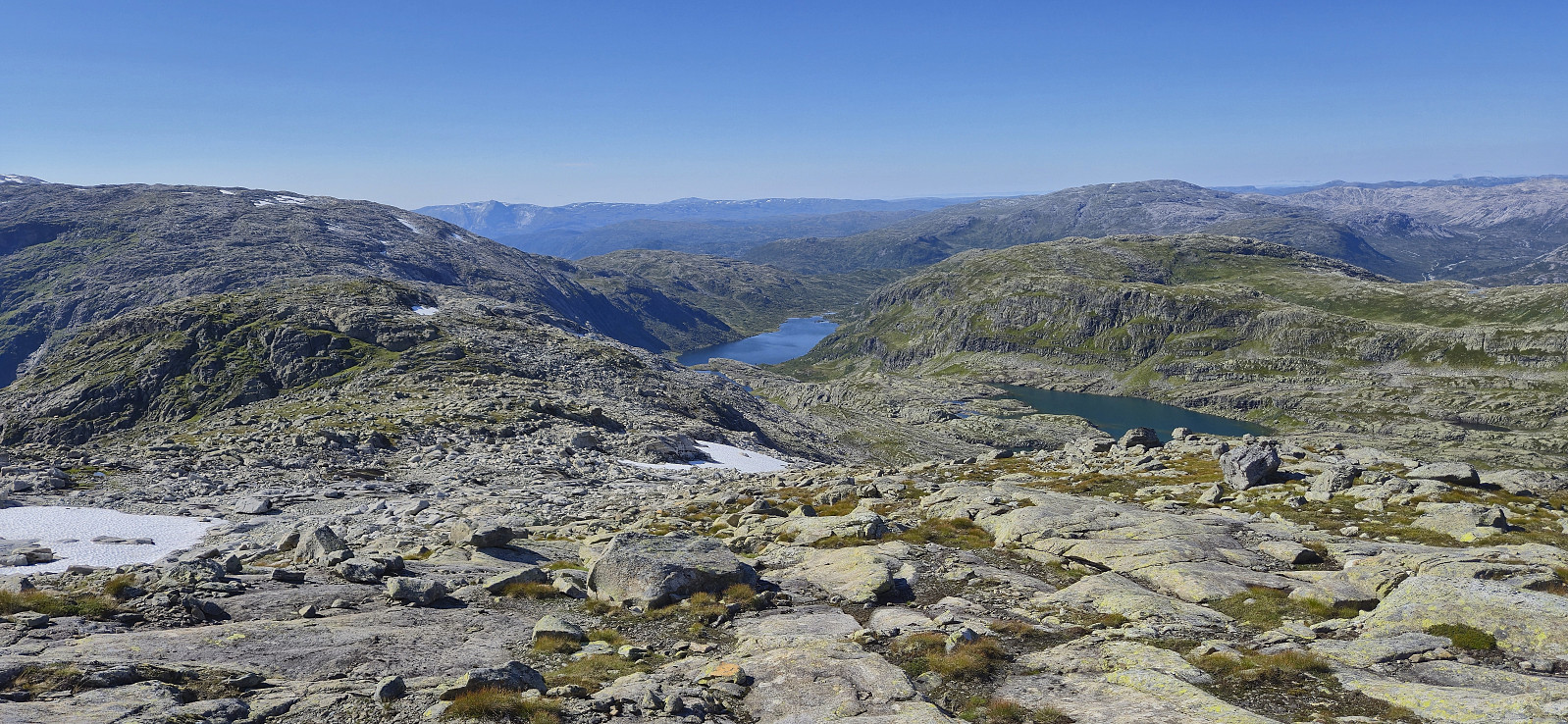
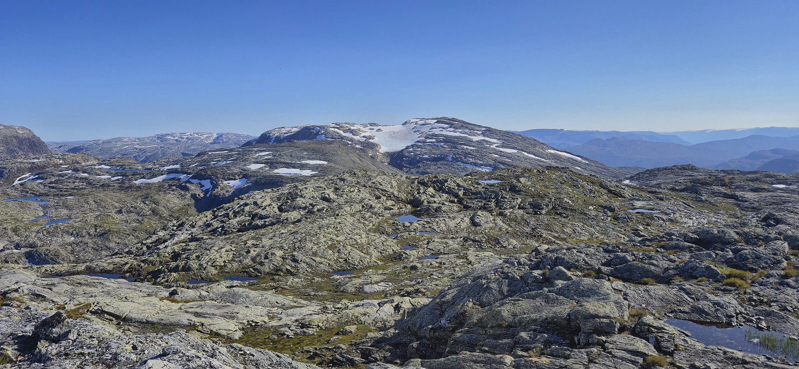
Given that the final part of the ascent to Skorafjellet had been referred to as a maze by Rune Blomberg in his report from 2016, I had brought with me the GPS track from Lise Grønbukt's report from 2021 as she seemed to have found a very nice route. This turned out to be the case and led me to the summit without any issues.
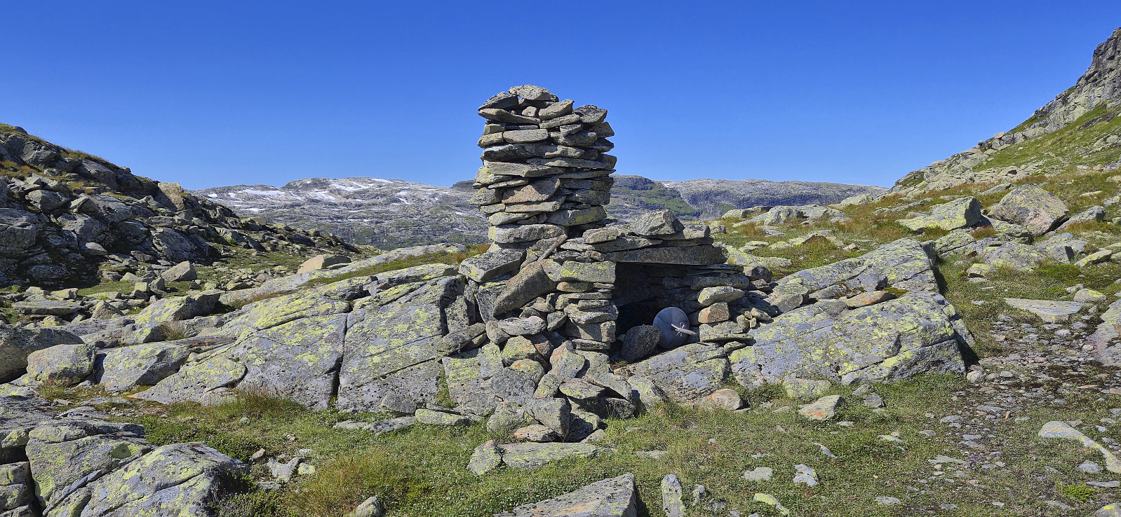
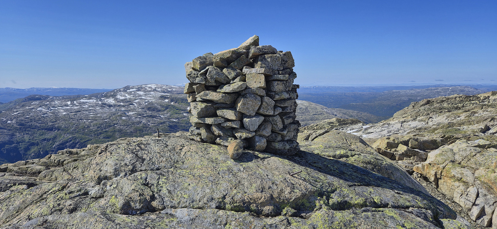
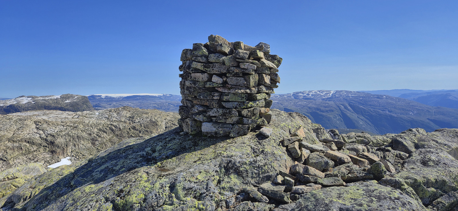
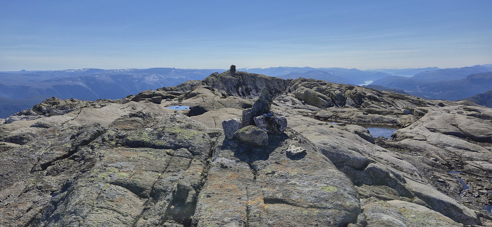
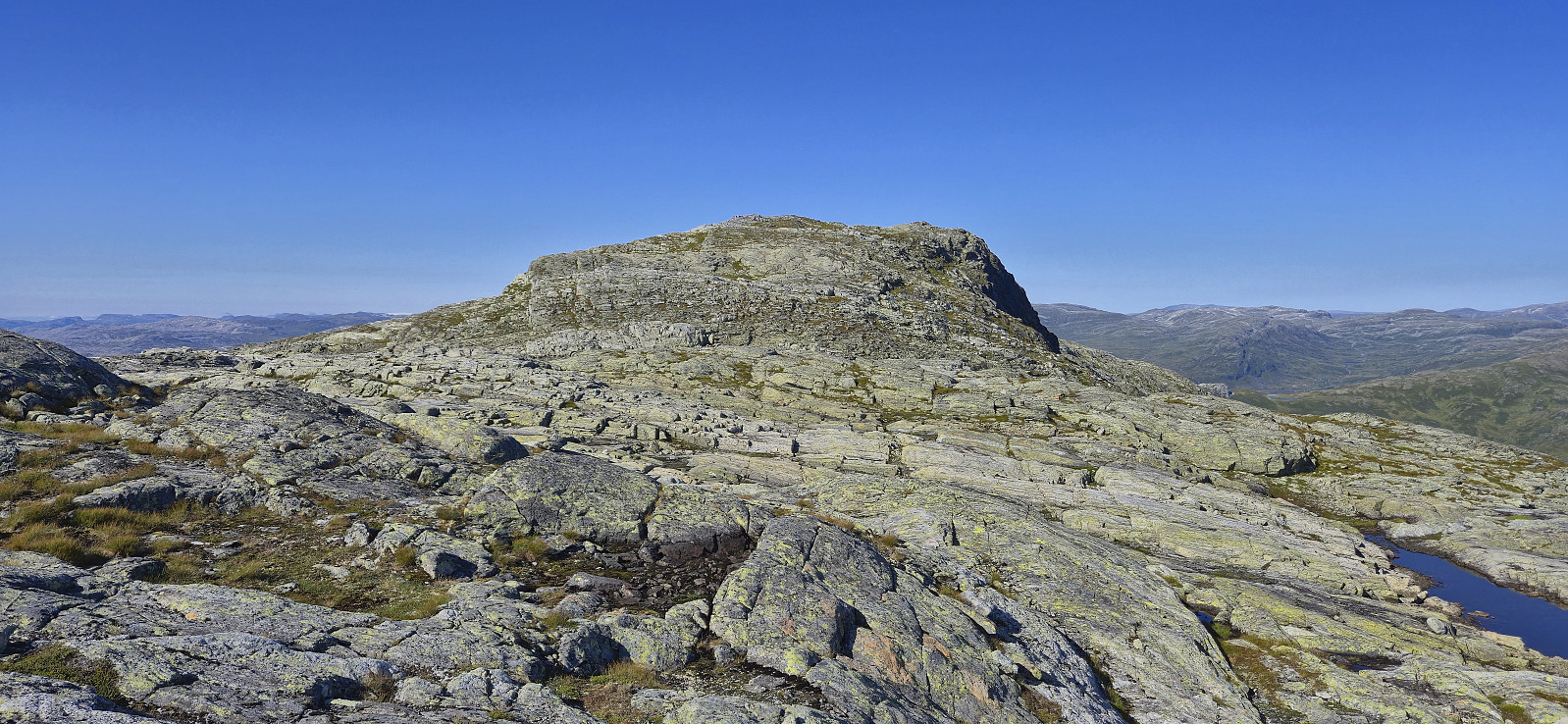
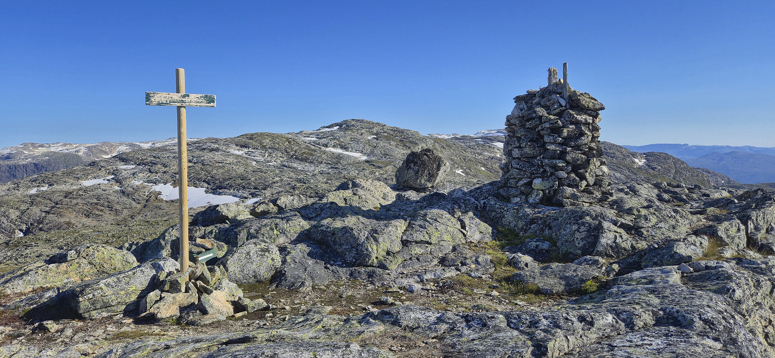
Whether the large summit cairn is in fact at the summit is another question. The reason being that Peakbagger, based on the high-resolution LIDAR data, places the summit around 94 meters further northeast. The difference is however very small, less than a couple of centimeters, hence I decided to not move the summit location. However, to be on the safe side it is probably best to visit both locations.
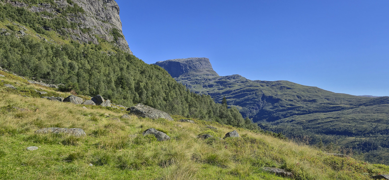
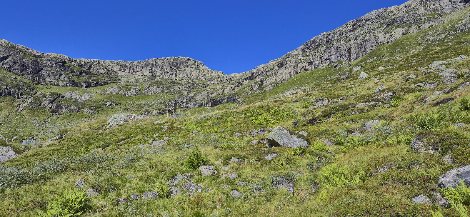
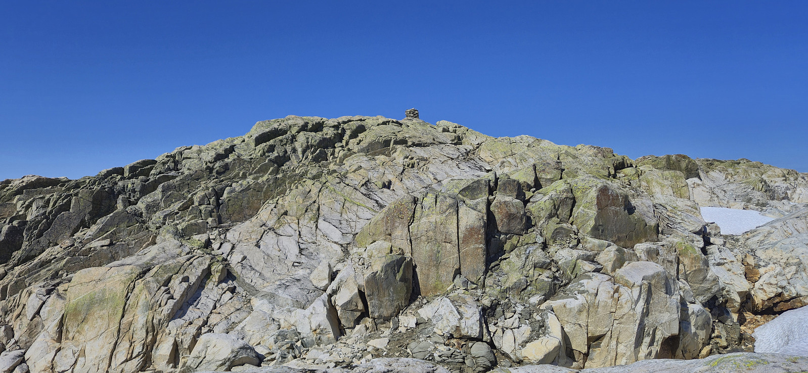
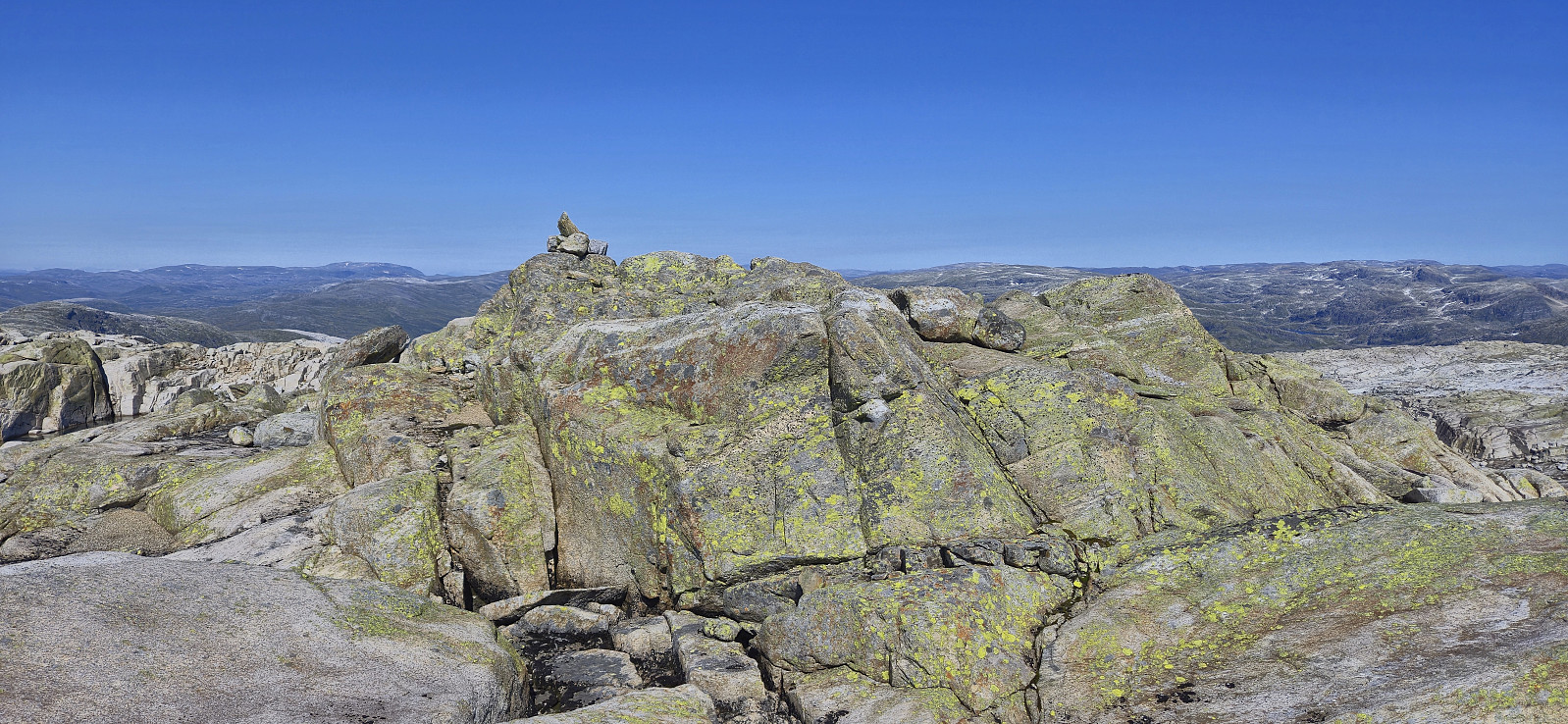
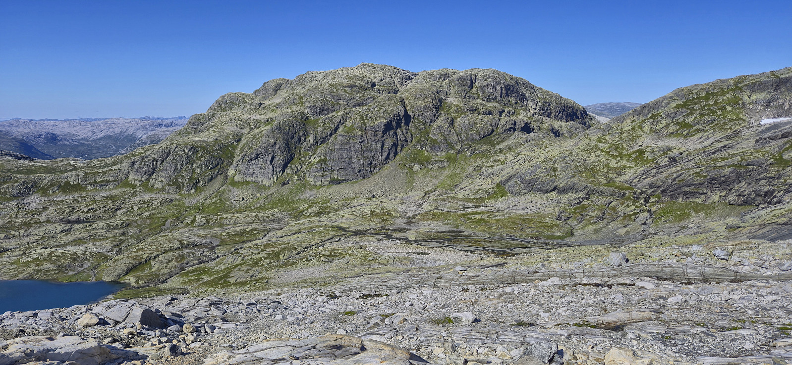
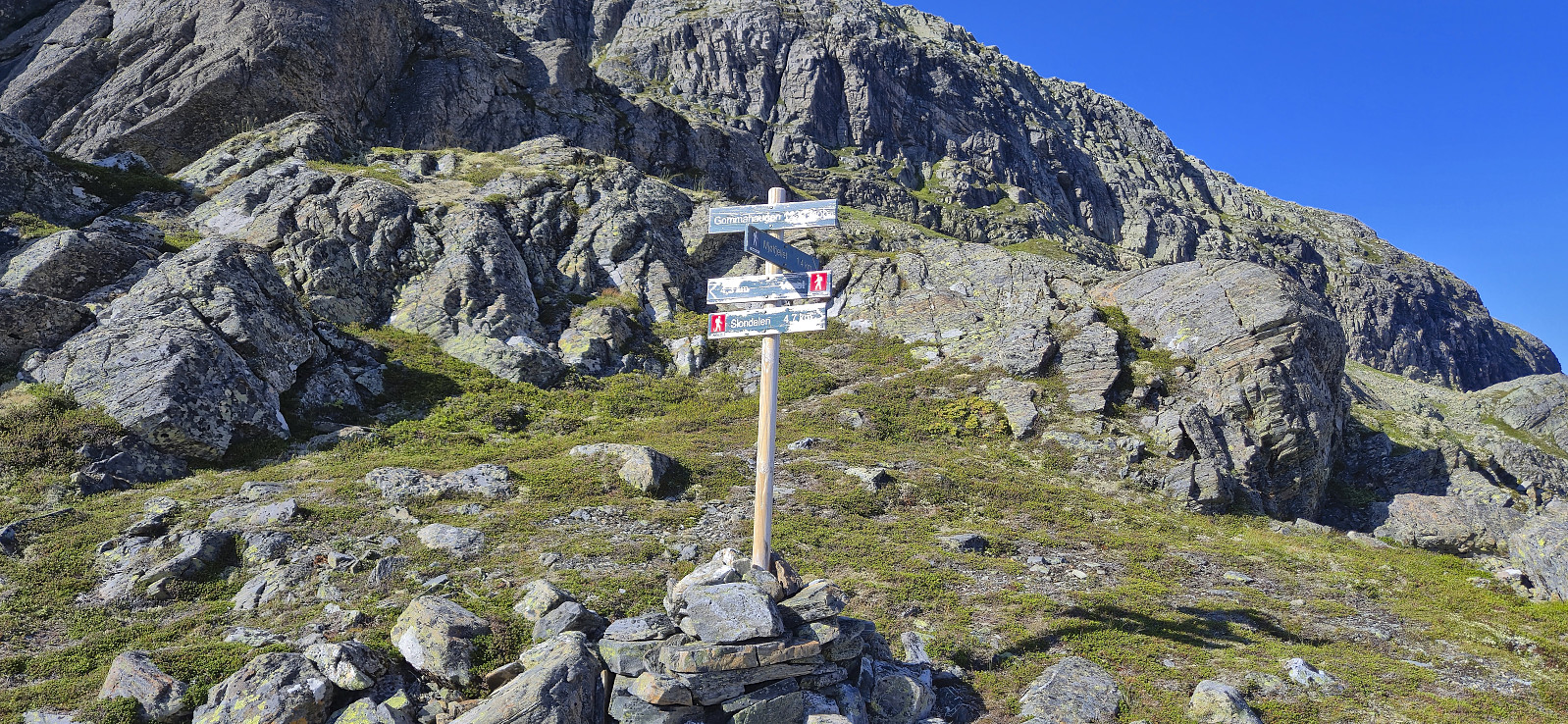
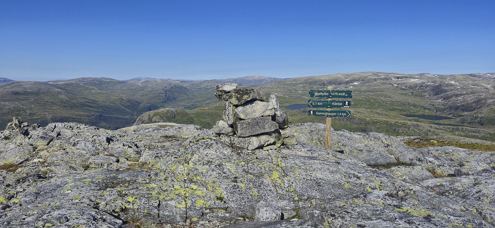
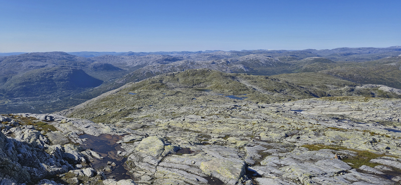
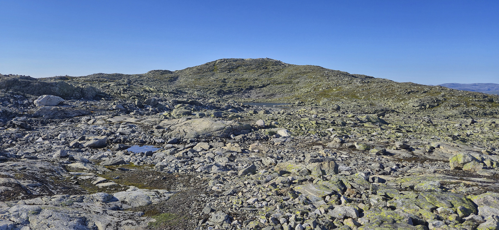
After visiting both potential summits, and a short detour to a third clearly lower option to the northwest, I continued north to Tryglabotnen, easily managing to find a good route. Here I connected with a trail marked by small cairns and proceeded to follow it up to Gummen where the trail forked at a pole with multiple hiking signs and I continued on the one pointing to Mjølfjellet.
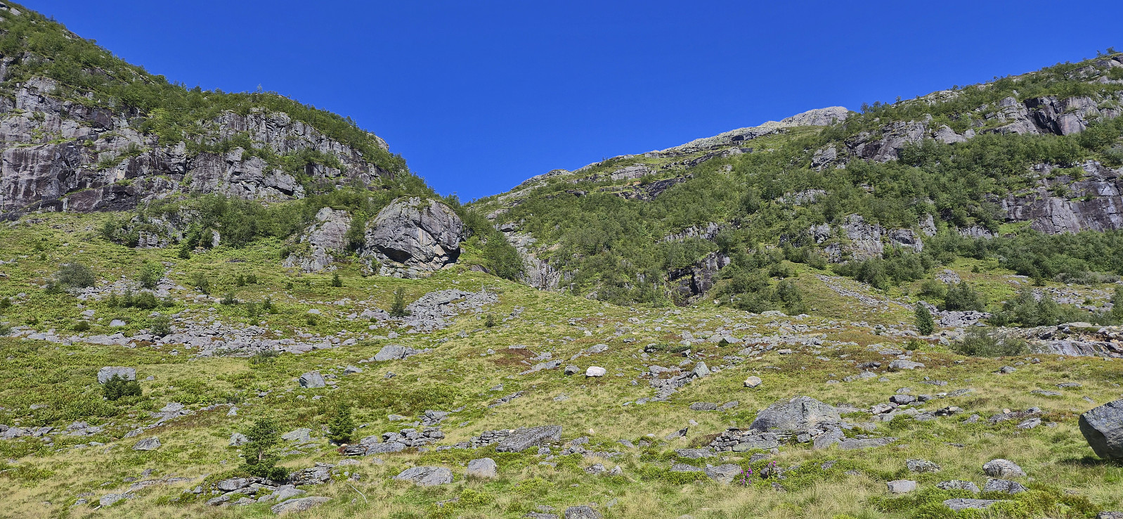
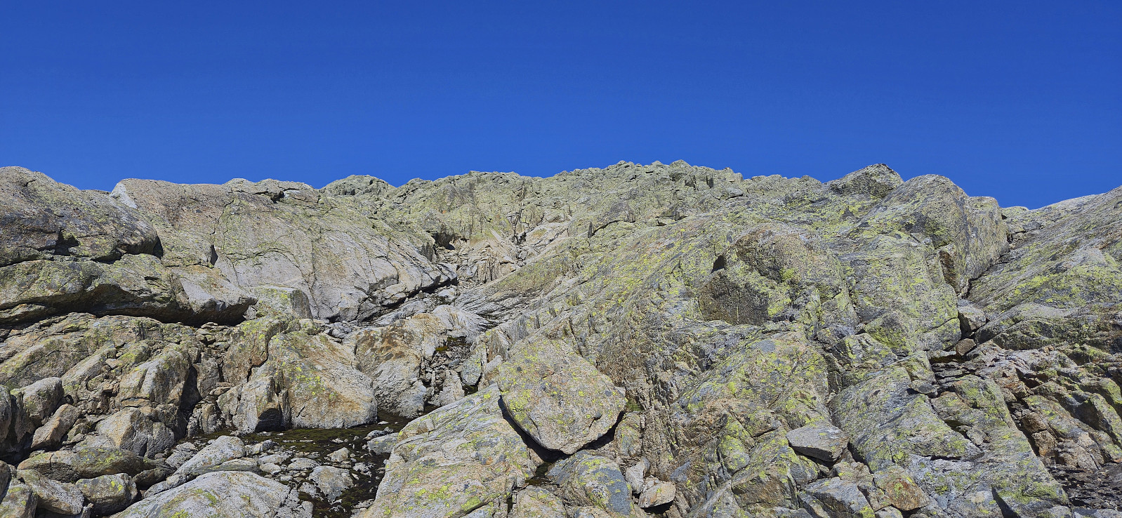
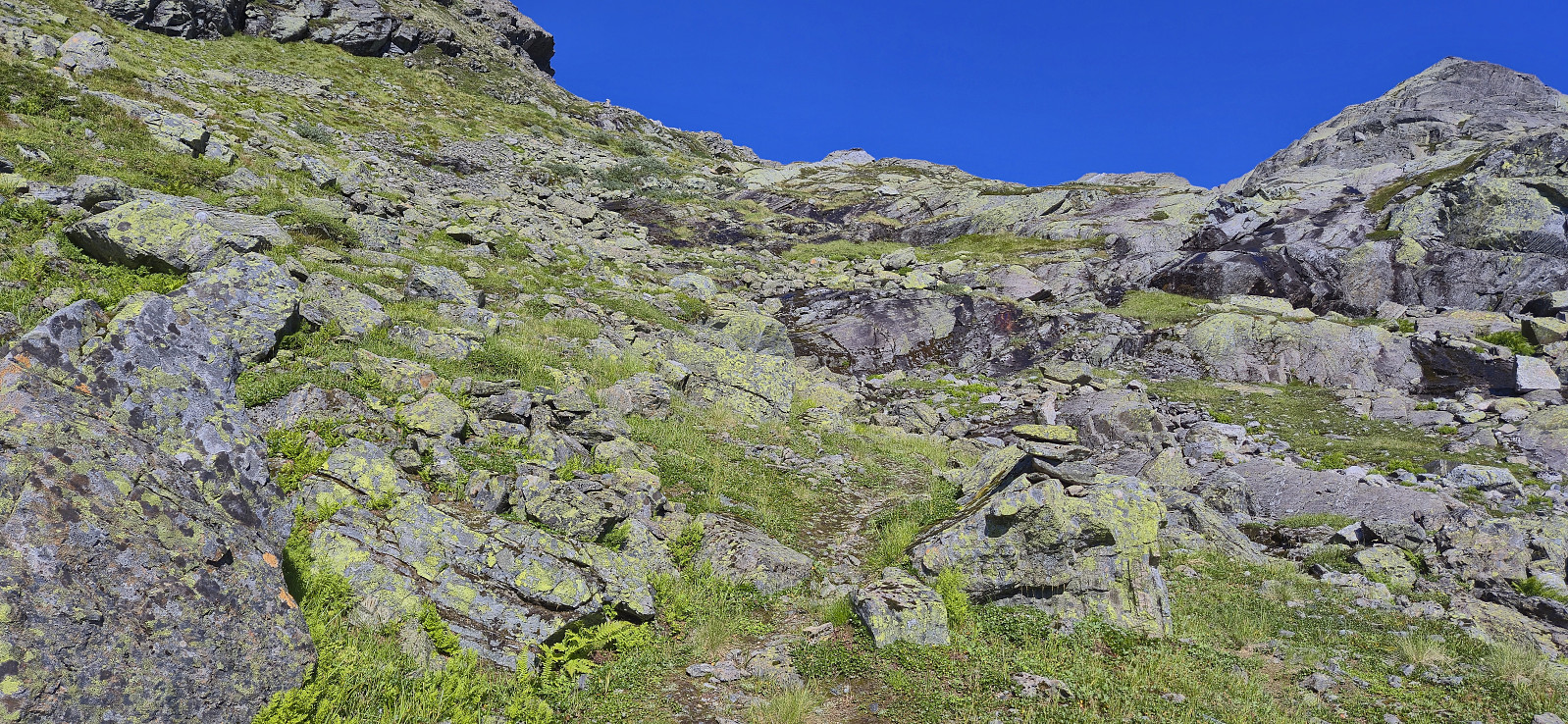
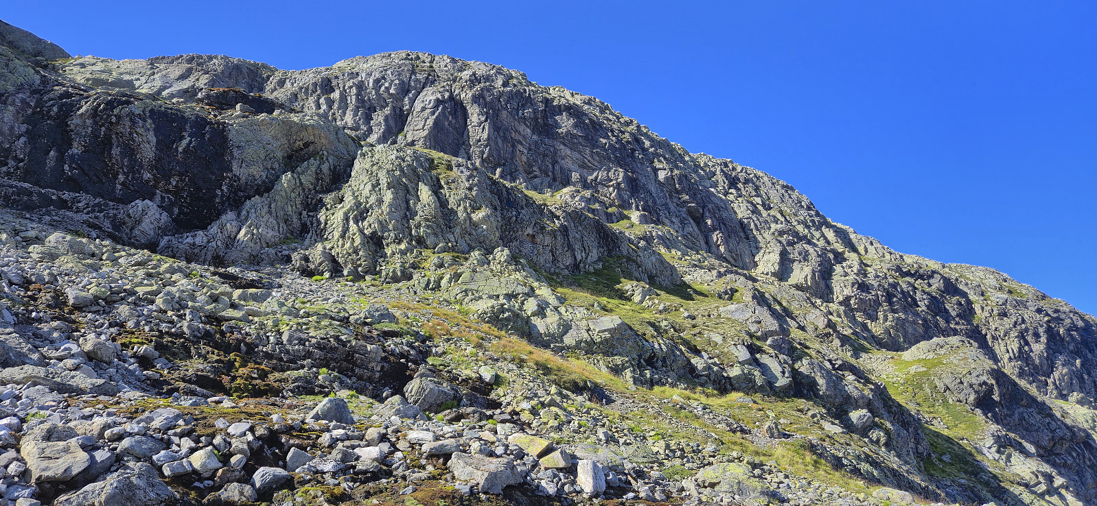
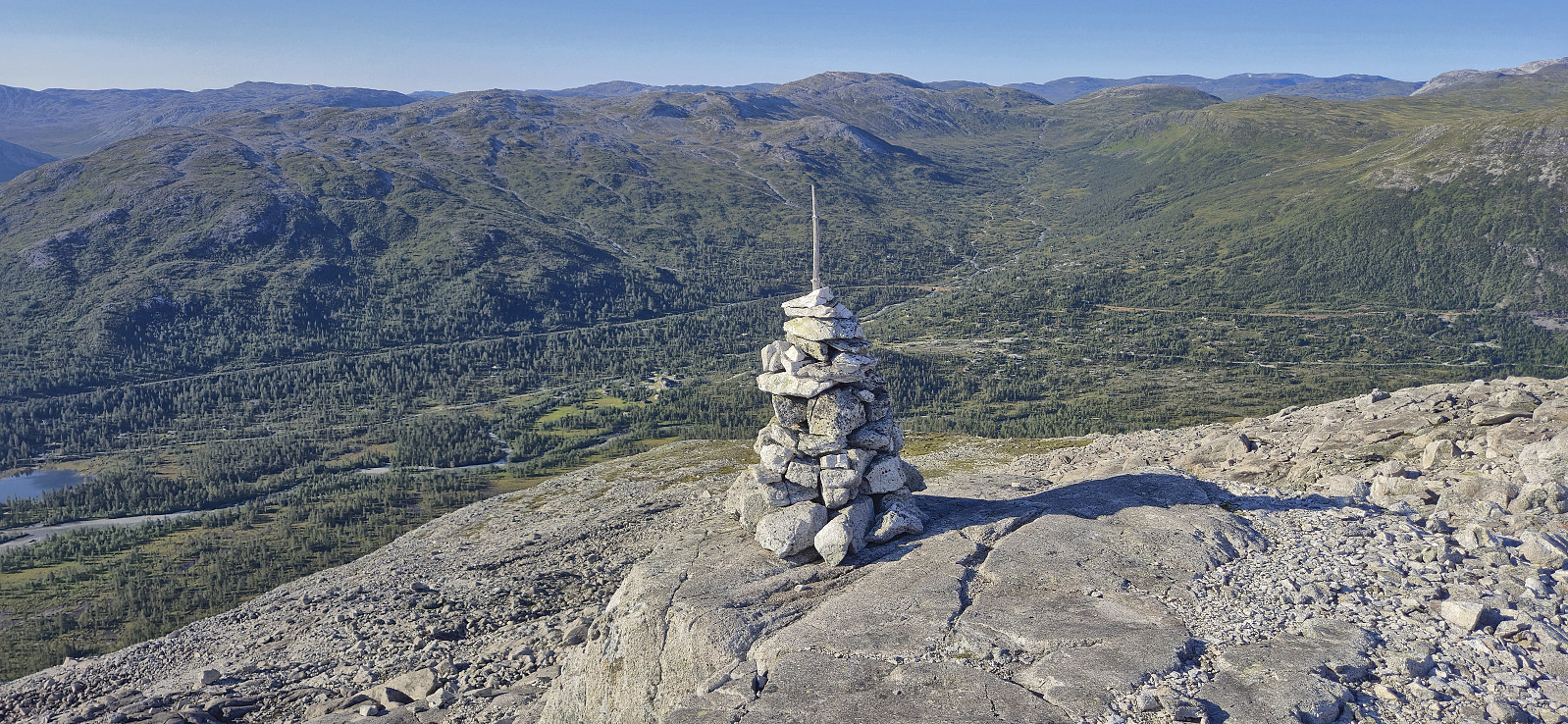
I had assumed that I could now easily follow a marked trail to the summit but it was not going to be that easy. At least for the first steep part where the direction was not always obvious there could definitely have been more/better markers and I ended up losing the trail more than once. After getting past this section it was however relatively easy to follow small cairns the rest of the way to the 1470 peak at Mjølfjellet.
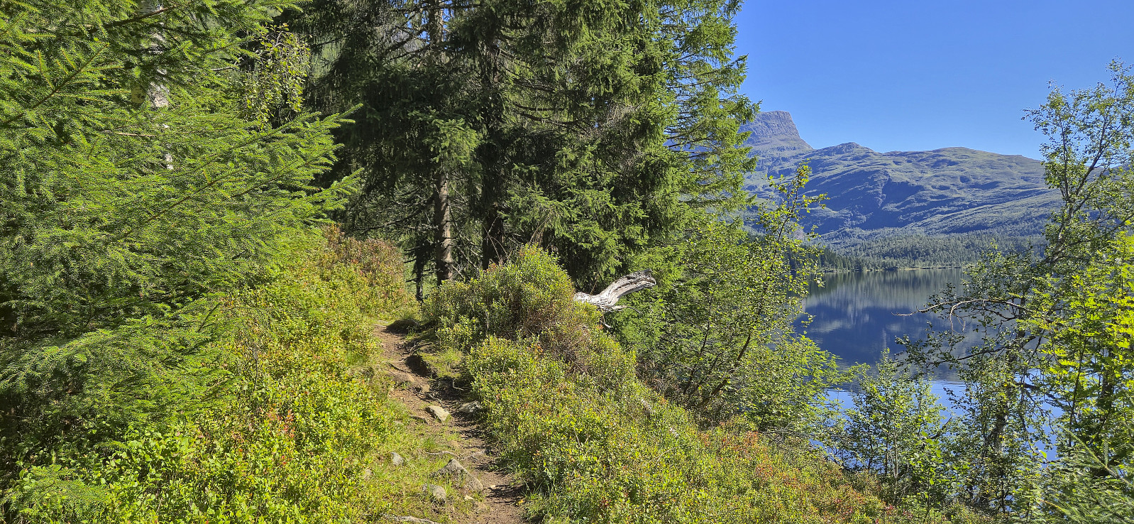
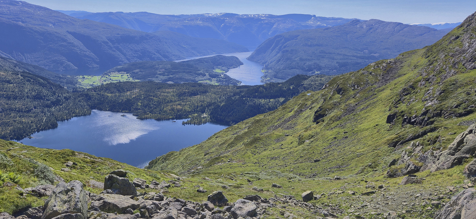
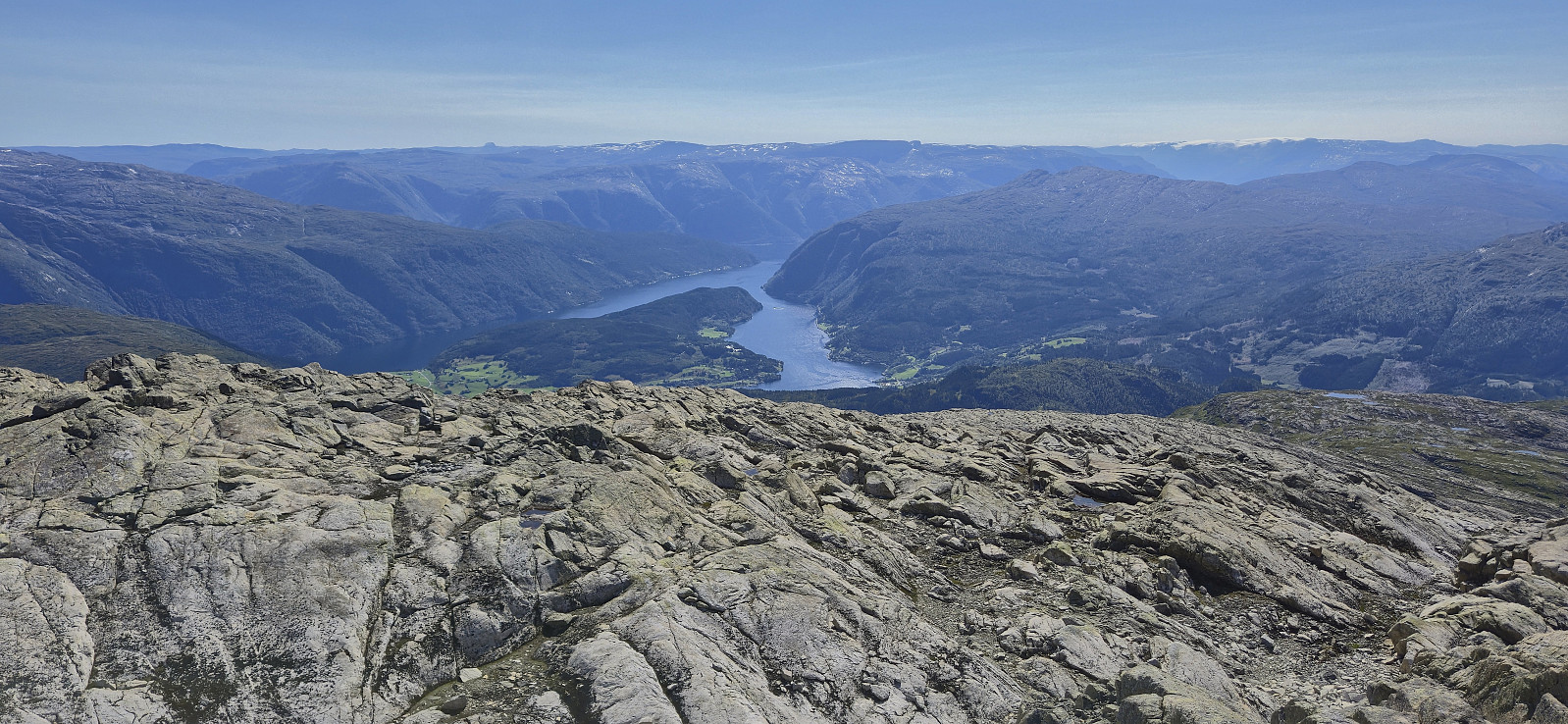
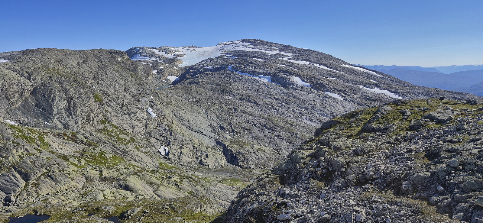
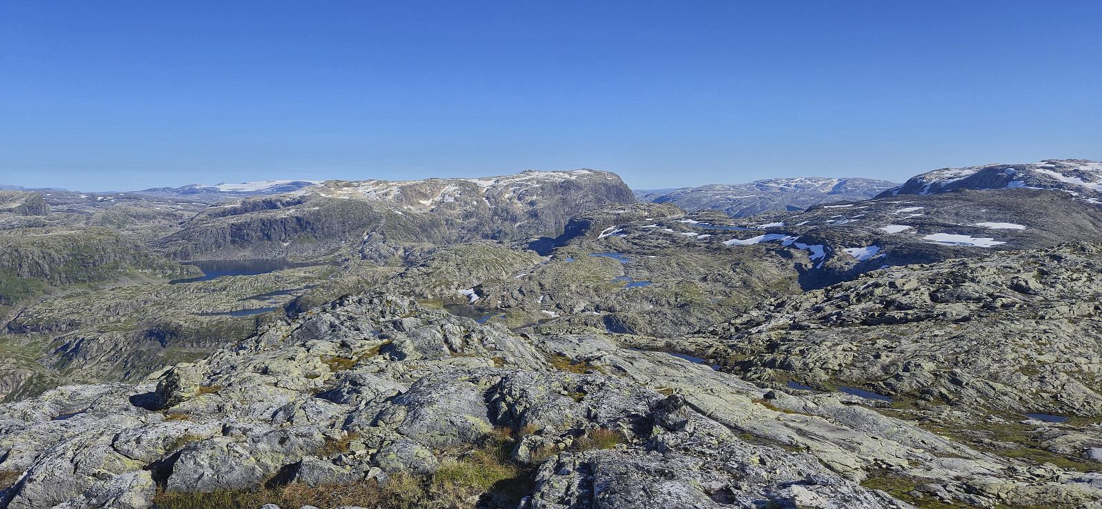
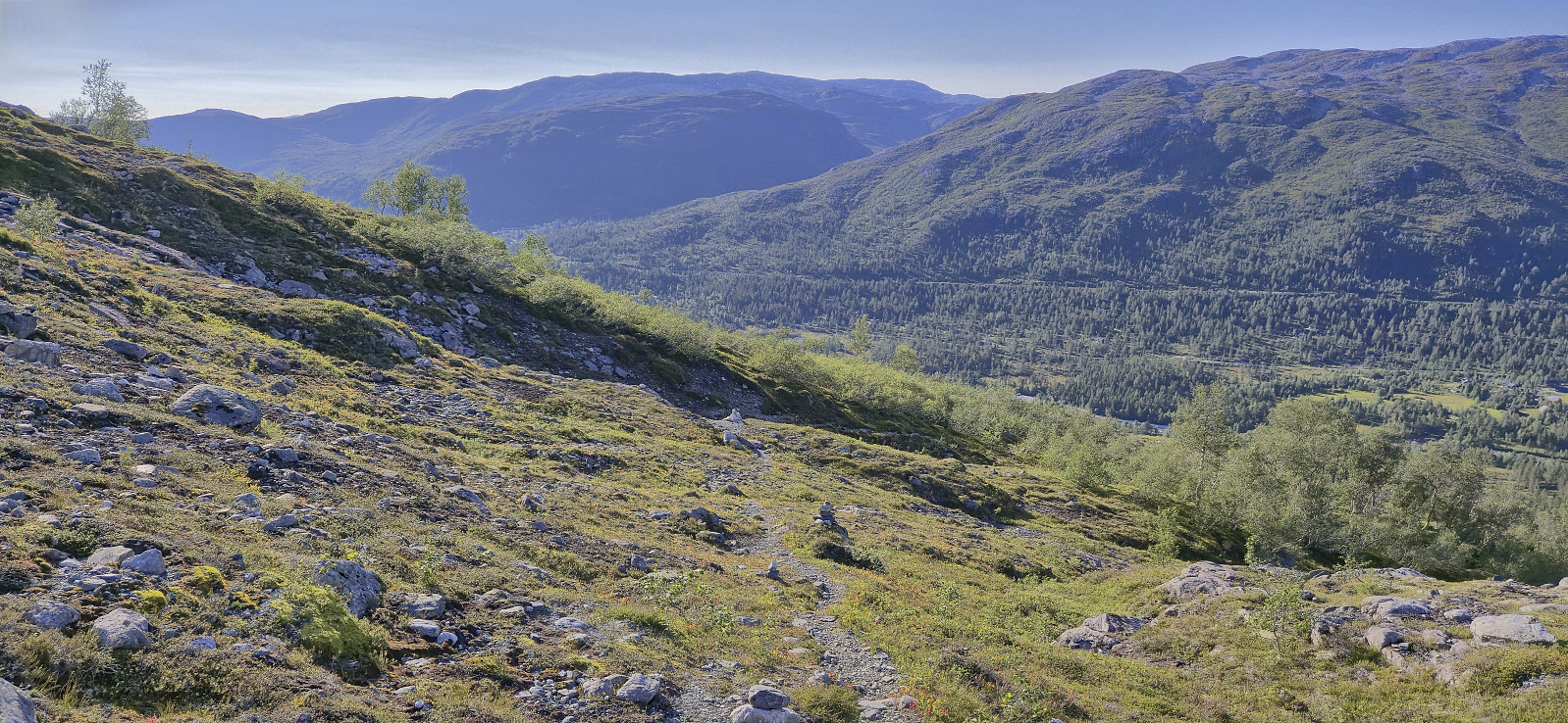
All that remained was now to get to the train station at Ljosanbotn in time for the last local train of the evening. The problem was that when planning I had assumed I would now be on a trail and could thus easily increase my speed if needed. The terrain however consisted mainly of large and small rocks, thus clearly limiting the speed I could maintain without the risk of falling or twisting an ancle. This type of terrain also lasted much longer than expected. But at least I was overall heading in the right direction.
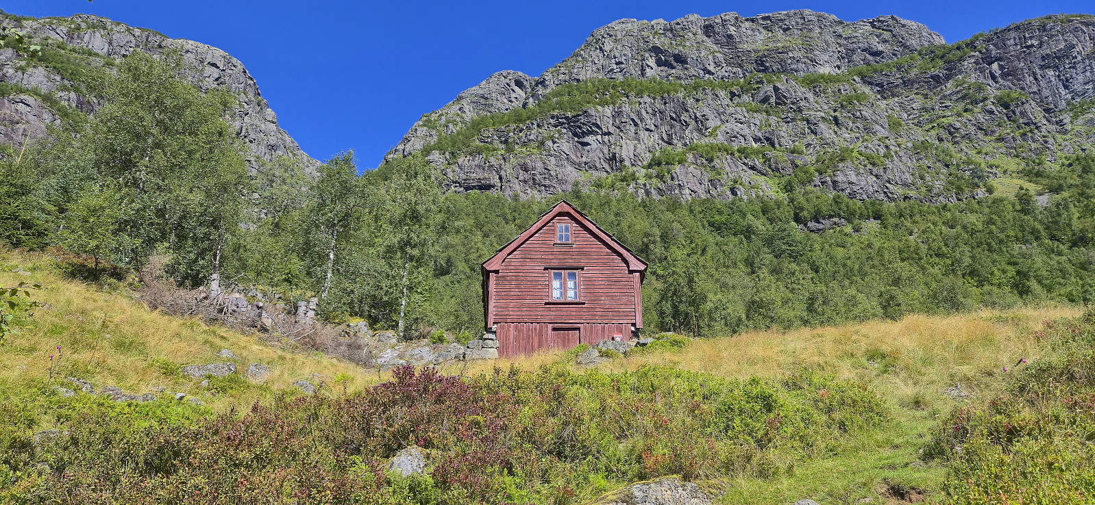
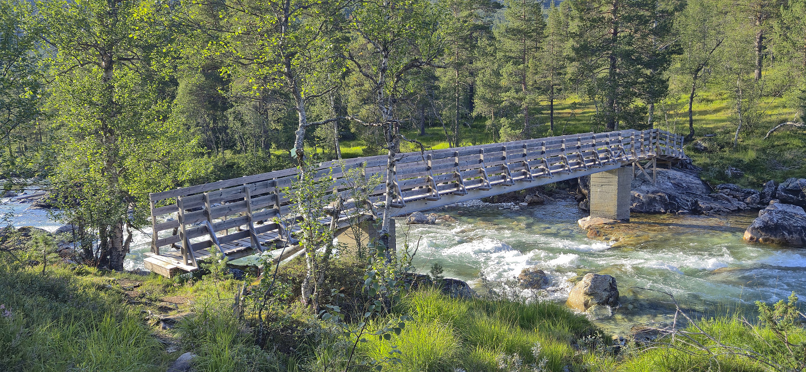
When finally crossing the bridge over Kleivelvi I had just over 20 minutes left and thus managed to get to the train station at Ljosandbotn with around five minutes to spare. Very happy to have made the train, but also a bit disappointed that I had not had the time for the planned ice cream at Kårdal Fjellstove, even though it was very tempting when passing by and seeing the signs.
To conclude, a hike from Solsævatnet to Ljosandbotn can clearly be done without too much trouble and provides excellent views along the way. Just do not expect too much with regards to trail quality and trail markers. And maybe walk slightly faster than me so that you have time for that ice cream. ;)
| Start date | 17.08.2025 10:55 (UTC+01:00 DST) |
| End date | 17.08.2025 18:55 (UTC+01:00 DST) |
| Total Time | 8h 00min |
| Moving Time | 7h 20min |
| Stopped Time | 0h 39min |
| Overall Average | 2.6km/h |
| Moving Average | 2.8km/h |
| Distance | 20.4km |
| Vertical meters | 1,833m |


User comments
Skorafjellet HP
Written by knutsverre 20.08.2025 20:03Fin rapport! Kjekt at du fikk avklaret dette med høyeste punkt på Skorafjellet. Fantes det allerede en varde på Peakbagger-toppen eller bygget du den? Jeg har hytte nær Kleivelvi bro og har gått mye i områdene du beveget deg i på søndag. Ruten du gikk fra Solsævatnet til Tryglabotn og Gummen er en gammel setervei for Ulvik-folk til hhv Veset og Slondalen. Jeg har registrert de fleste av PB-elementene du besøkte på kulturminnesok.no. Kjekt at du fikk de med deg.
Re: Skorafjellet HP
Written by hbar 20.08.2025 23:57Takk, Knut! Den lille varden på Peakbagger-toppen var der allerede, så jeg kan nok ikke ta æren for den. Kjekt med litt kulturhistorie underveis på turen! Var det forresten hytten din jeg var på vei mot rett før jeg snudde nordover mot Kårdal Fjellstove like etter å ha krysset Kleivelvi? Kan se sånn ut på noen av dine egne GPS-spor?
Sv: Re: Skorafjellet HP
Written by knutsverre 21.08.2025 18:03Det stemmer at du var like ved/i grensen mot hytten vår! Du gikk antagelig stien vi bruker til hytten fra Kårdal over noen gamle, nedgravde jernbanesviller!
A nice day, ...
Written by HHauser 19.08.2025 20:10... as it seems -- wow! Ourselves, we met equally many hiking legs, but twice the number of hiking individuals! :-) Also nice of you to care about hikers getting their icecream -- it was very warm (and nice!) on Sunday indeed! :-)
Re: A nice day, ...
Written by hbar 20.08.2025 16:33Yes, a very nice day indeed! Looks like had an equally nice hike at Gjønakvitingen! That one is still on my todo list, just haven't gotten to it yet. :)