
Cycling: Siggjo, Furefjellet and Vardafjell (21.07.2021)

Written by hbar (Harald Barsnes)

| Start point | Rubbestadneset (1m) |
|---|---|
| Endpoint | Rubbestadneset (1m) |
| Characteristic | Bike trip - road |
| Duration | 7h 18min |
| Distance | 42.5km |
| Vertical meters | 864m |
| GPS |
|
Cycling: Siggjo, Furefjellet and Vardafjell
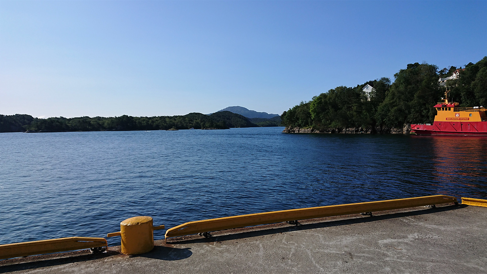
I started by cycling to Strandkaiterminalen, from where I took the high-speed ferry to Rubbestadneset. Here I started the GPS tracking and headed south along the roads to the trailhead for Siggjo, generally on either separate cycling/walking paths or on roads with limited traffic. It should however be mentioned that while the area was overall well-suited for cycling, the signs for cyclists leave a lot to be desired, as basically there were none. I therefore struggled a bit when getting to the highway south of Rubbestadneset and trying to figure out how where the cycling path continued.
After reaching the valley between Siggjo and Furefjellet called Åreiddalen, I easily located the unmarked trailhead for Siggjo and continued from there on foot. See the separate trip report here. Upon returning to my bike, I cycled the short distance north to the unmarked trailhead for Furefjellet, where I again left the bike behind and continued to the summit on foot. See the separate trip report here.
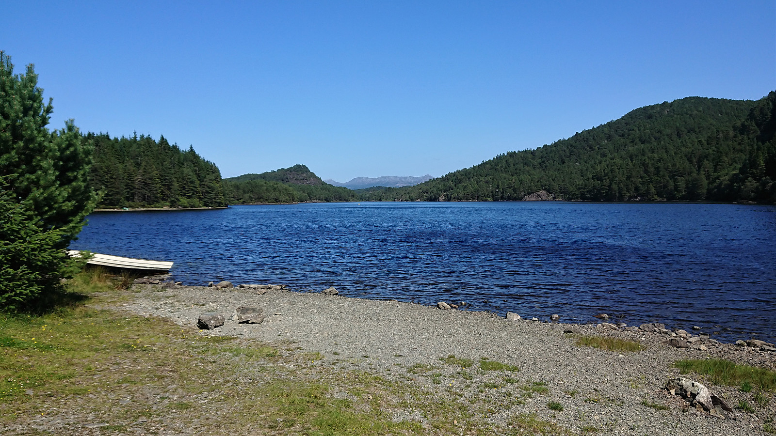
Back on the bike, I had an attempt at a shortcut by following the road north along Finnåsvatnet, but the road soon came to a dead end at a farm/house. I therefore turned back and had a quick lunch break next to Finnåsvatnet, before returning along the roads to the highway south of Rubbestadneset. Note that when I later inspected the GPS track, I noticed that I had actually missed an exit when attempting the shortcut next to Finnåsvatnet. In my defense this exit very much looked like it was just heading up to this one farm though. However, it does mean that the shortcut is most likely possible after all.
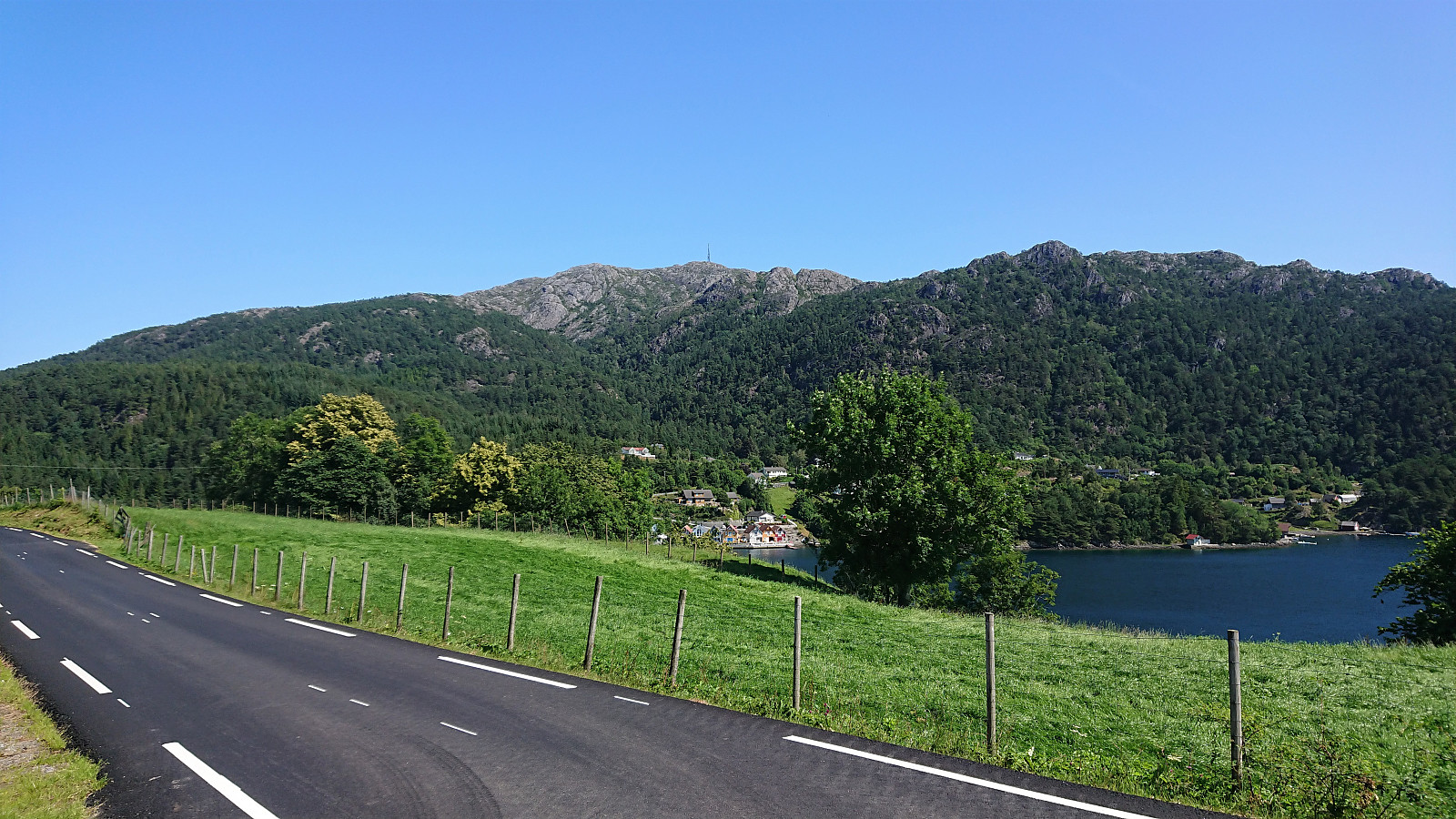
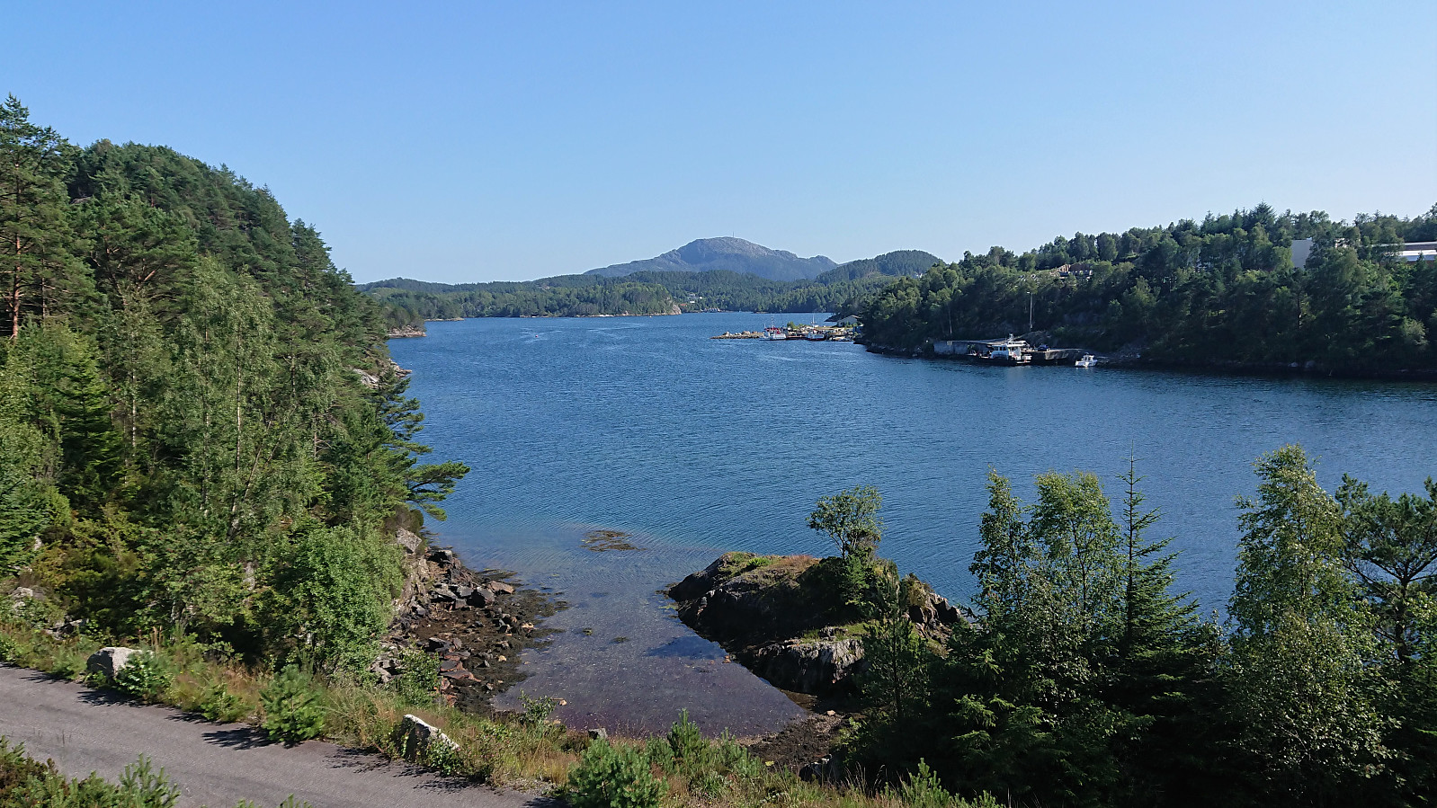
Upon returning to the highway, I followed the separate cycling/walking path west to Svortland, where I easily located the gravel road referred to as "Lysløypa til Fet", which I then proceeded to follow until getting to the marked trailhead for Vardafjellet. This only left a short hike to the summit. See the separate trip report here. When returning to the bike, all that remained was to cycle back to Rubbestadneset for the boat home to Bergen.
In summary, an excellent trip that can be highly recommended!
| Start date | 21.07.2021 09:44 (UTC+01:00 DST) |
| End date | 21.07.2021 17:03 (UTC+01:00 DST) |
| Total Time | 7h 18min |
| Moving Time | 3h 02min |
| Stopped Time | 4h 15min |
| Overall Average | 5.8km/h |
| Moving Average | 13.9km/h |
| Distance | 42.5km |
| Vertical meters | 864m |


User comments