
Furefjellet from Åreiddalen/Finnåsvatnet (21.07.2021)

Written by hbar (Harald Barsnes)

| Start point | Åreiddalen/Finnåsvatnet (29m) |
|---|---|
| Endpoint | Åreiddalen/Finnåsvatnet (29m) |
| Characteristic | Hillwalk |
| Duration | 0h 41min |
| Distance | 2.0km |
| Vertical meters | 163m |
| GPS |
|
| Ascents | Furefjellet (187m) | 21.07.2021 |
|---|---|---|
| Visits of other PBEs | Furefjellet fra Finnåsvatnet (30m) | 21.07.2021 |
Furefjellet from Åreiddalen/Finnåsvatnet
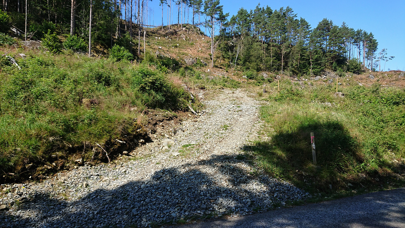
After descending from Siggjo (see separate trip report here), I cycled about 300 meters north to the unmarked trailhead for Furefjellet. Here I again left the bike behind and continued on foot along a rough tractor road, i.e. bringing the bike was clearly not an option.
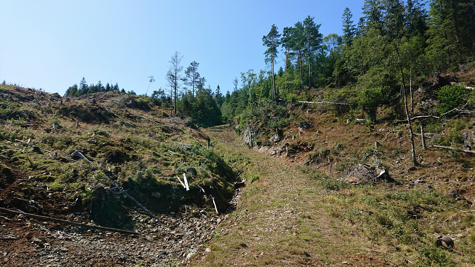
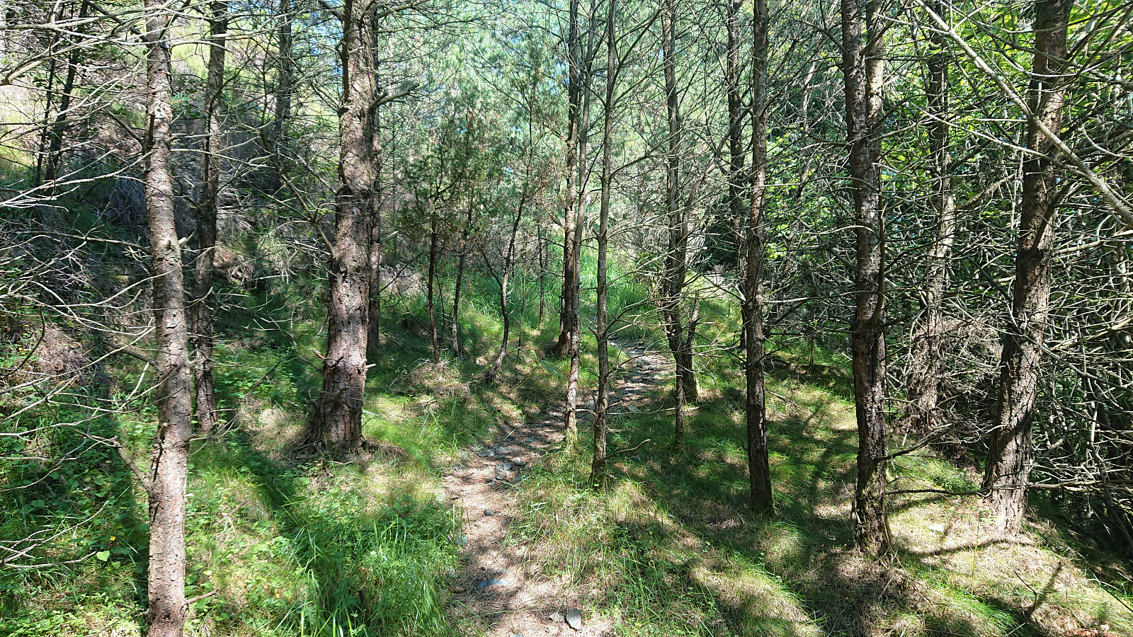
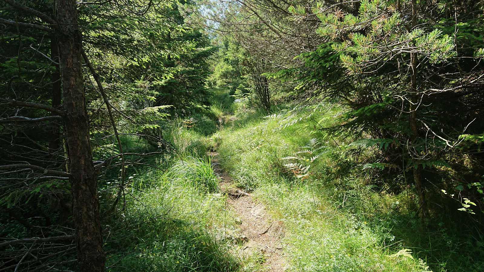
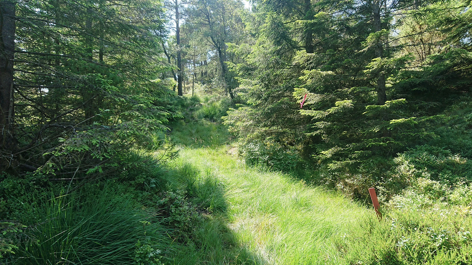
After twice crossing an electric fence set up to keep the cows from wandering off, I easily located the marked trail for Furefjellet where it departed from the tractor road. The trail was marked with the now familiar wooden sticks tipped with red paint and also the pink ribbons. In fact, the markers had been there all the way from when the first crossing of the electric fence.
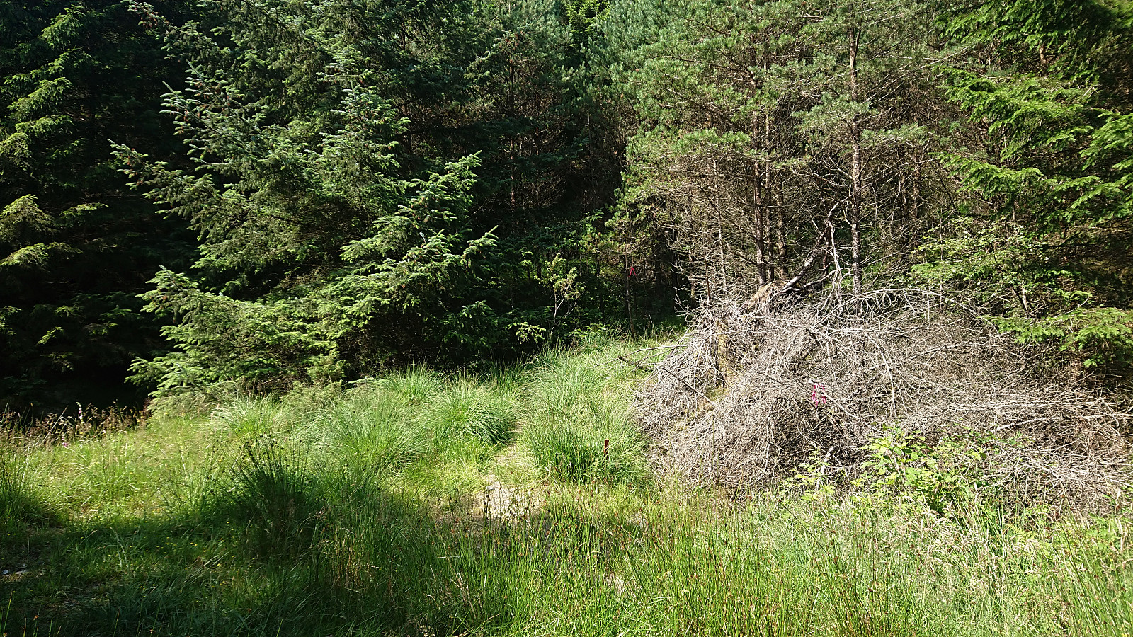
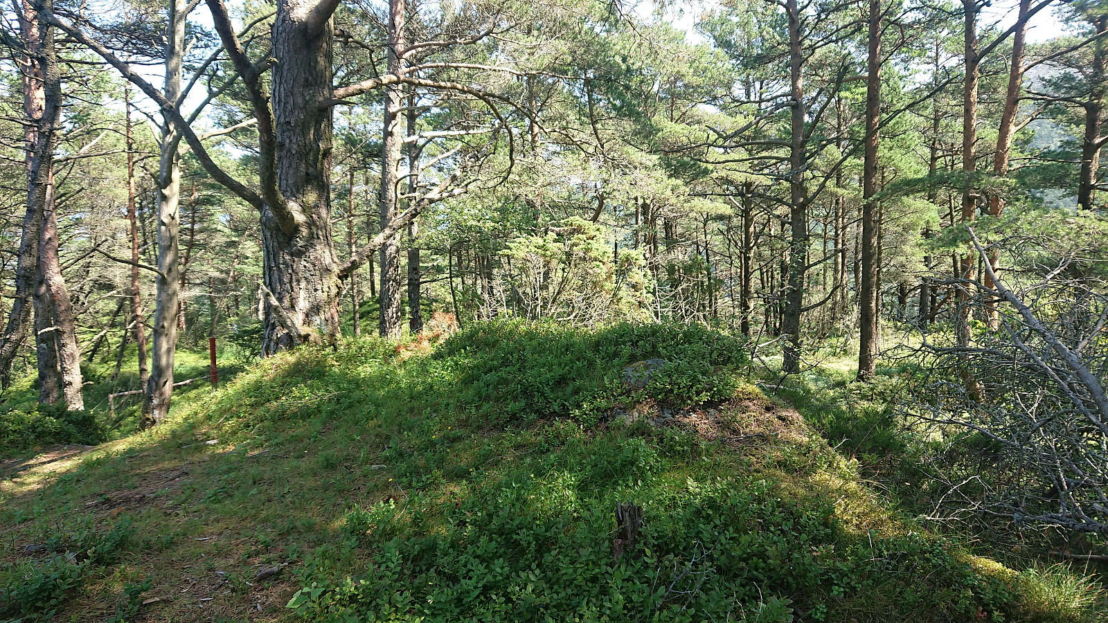
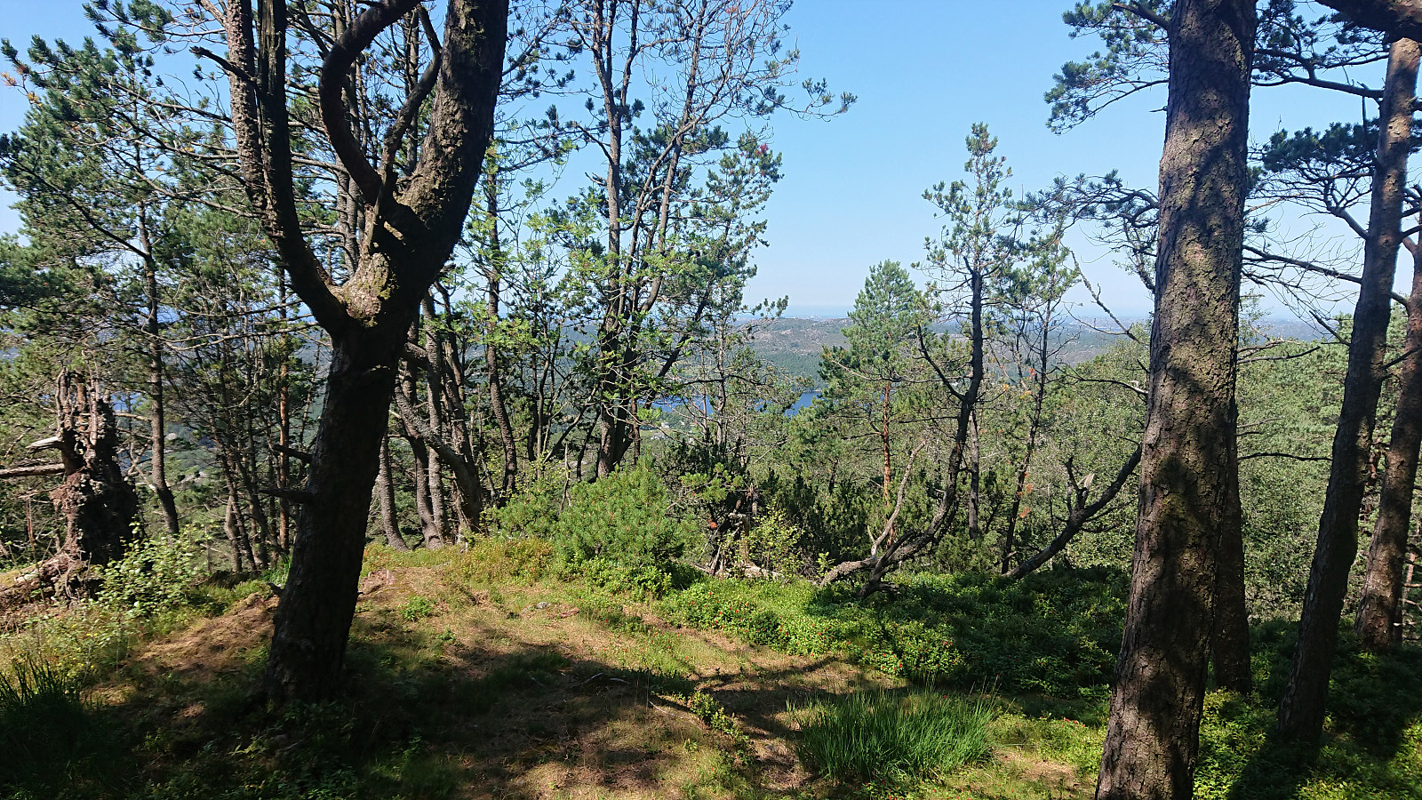
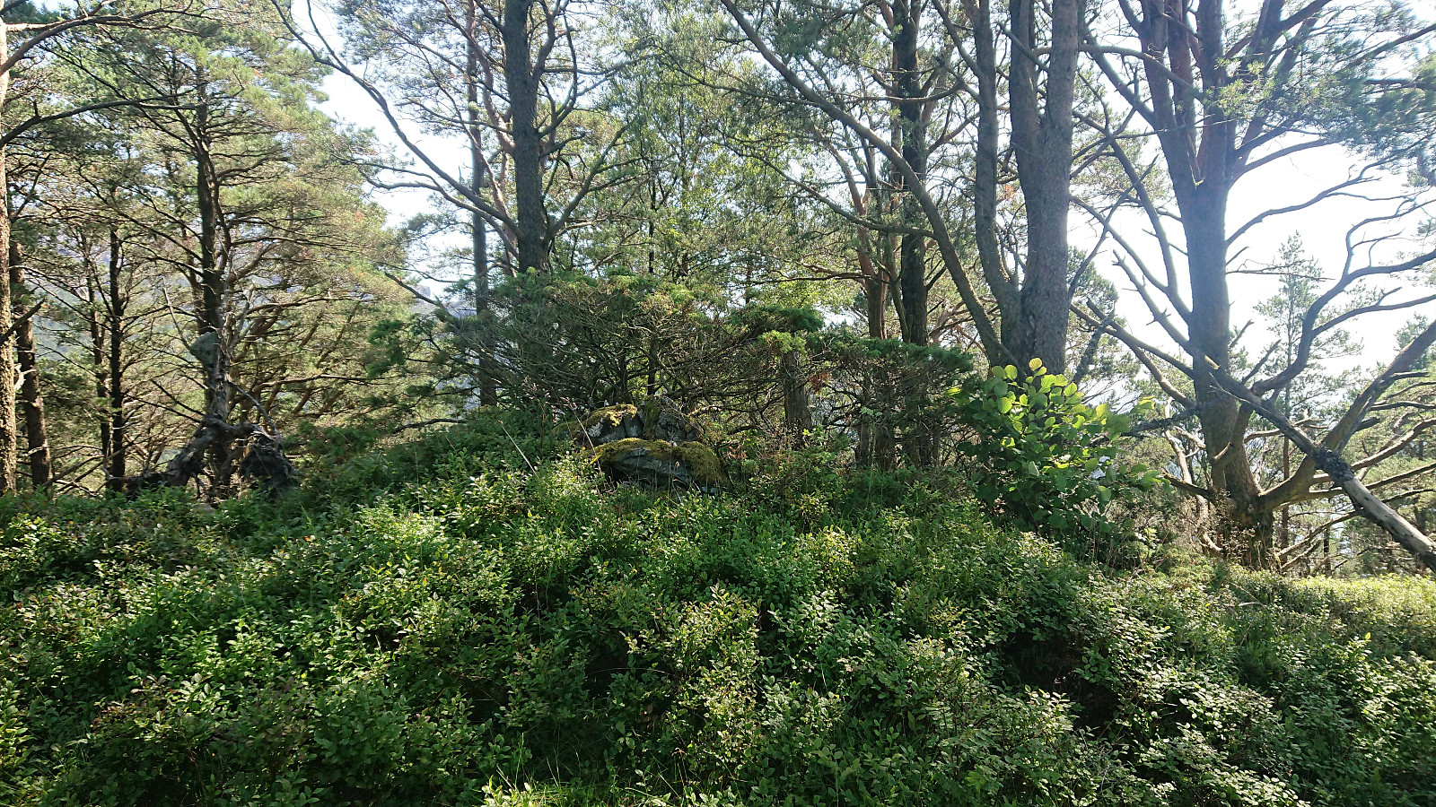
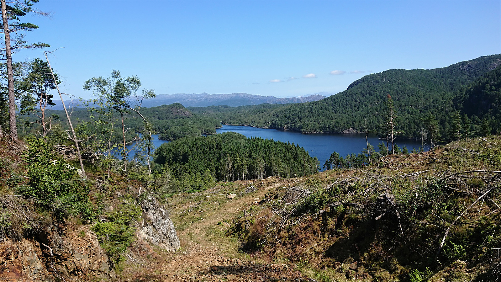
While the low vegetation was partially hiding the trail at times, it was overall easy to follow and made it straightforward to reach the summit. The summit itself was not marked, although I did discover the remains of a cairn when briefly continuing south along the ridge (where the trail continued and most likely connects with the road south of the summit). Limited views all around though. I therefore did not stay long before descending along the same route.
| Start date | 21.07.2021 13:06 (UTC+01:00 DST) |
| End date | 21.07.2021 13:47 (UTC+01:00 DST) |
| Total Time | 0h 41min |
| Moving Time | 0h 40min |
| Stopped Time | 0h 1min |
| Overall Average | 2.9km/h |
| Moving Average | 3.0km/h |
| Distance | 2.0km |
| Vertical meters | 163m |


User comments