
Øykjafjellet from Flakkavågen (06.06.2021)

Written by hbar (Harald Barsnes)

| Start point | Flakkavågen (17m) |
|---|---|
| Endpoint | Flakkavågen (17m) |
| Characteristic | Hillwalk |
| Duration | 1h 14min |
| Distance | 2.8km |
| Vertical meters | 356m |
| GPS |
|
| Ascents | Øykjafjellet (368m) | 06.06.2021 |
|---|
Øykjafjellet from Flakkavågen
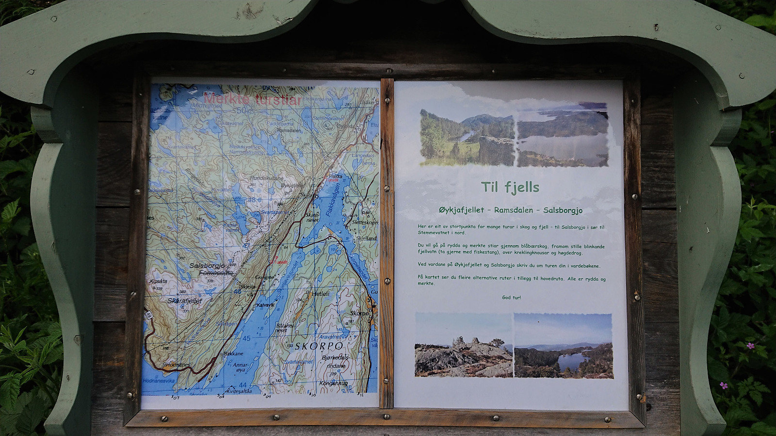
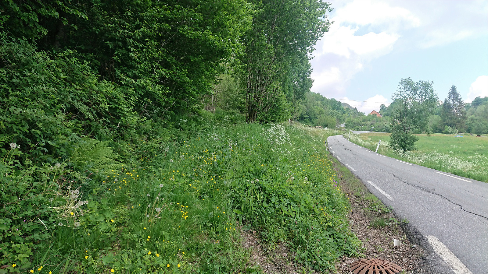
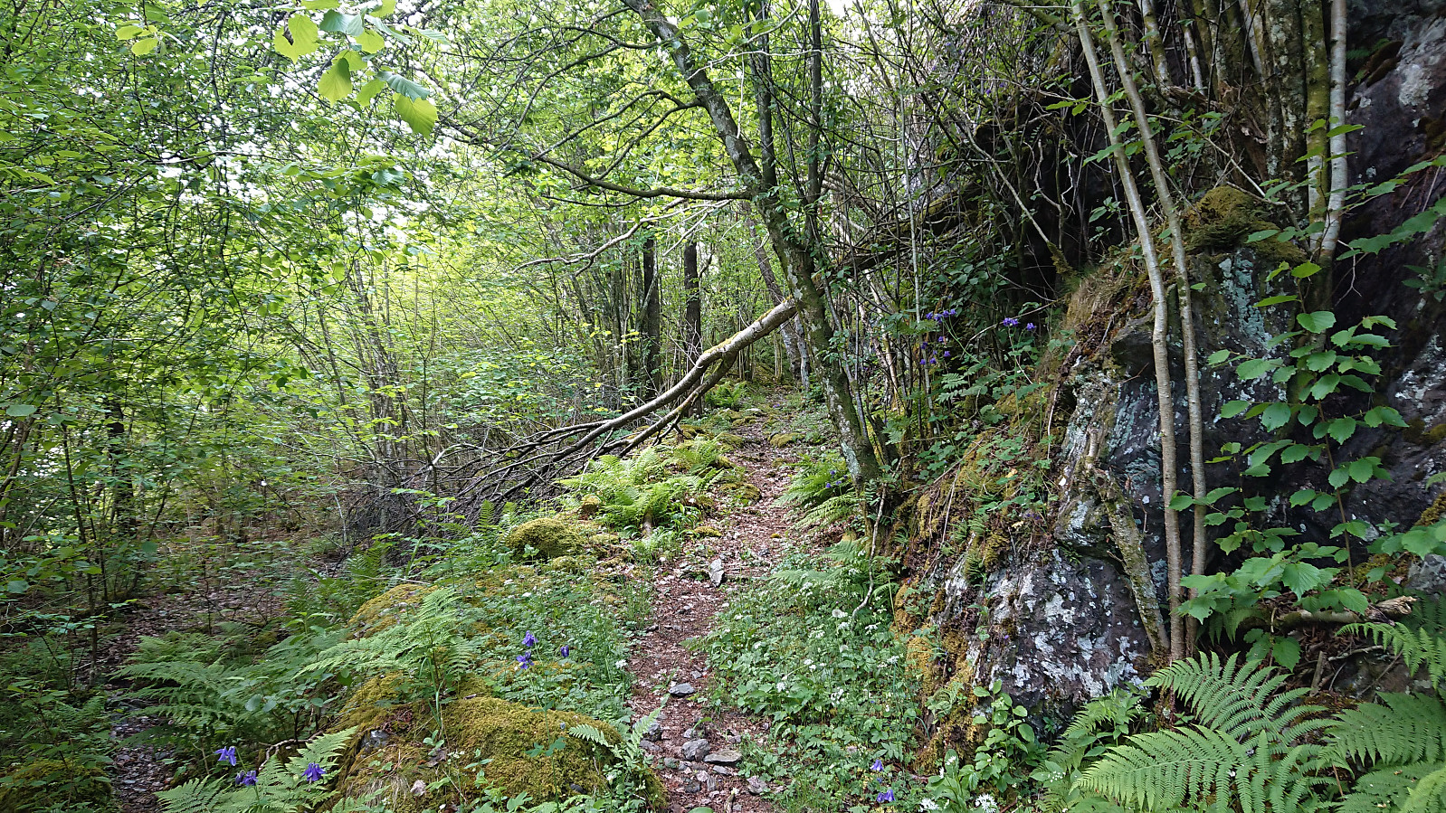
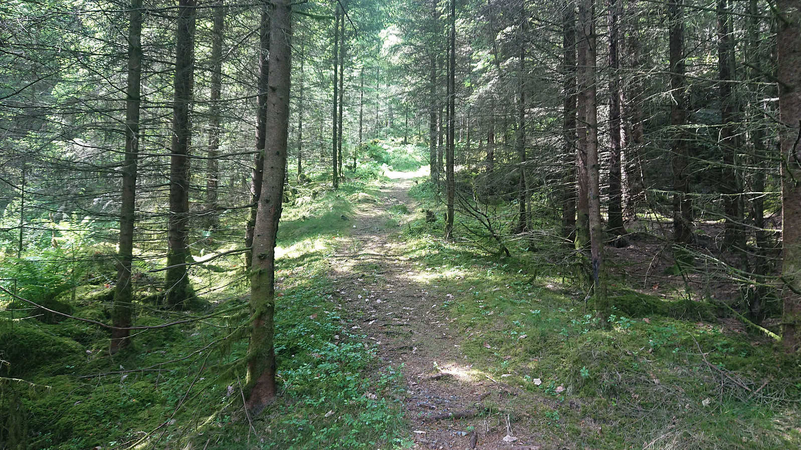
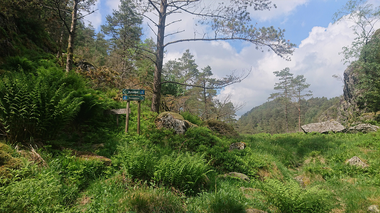
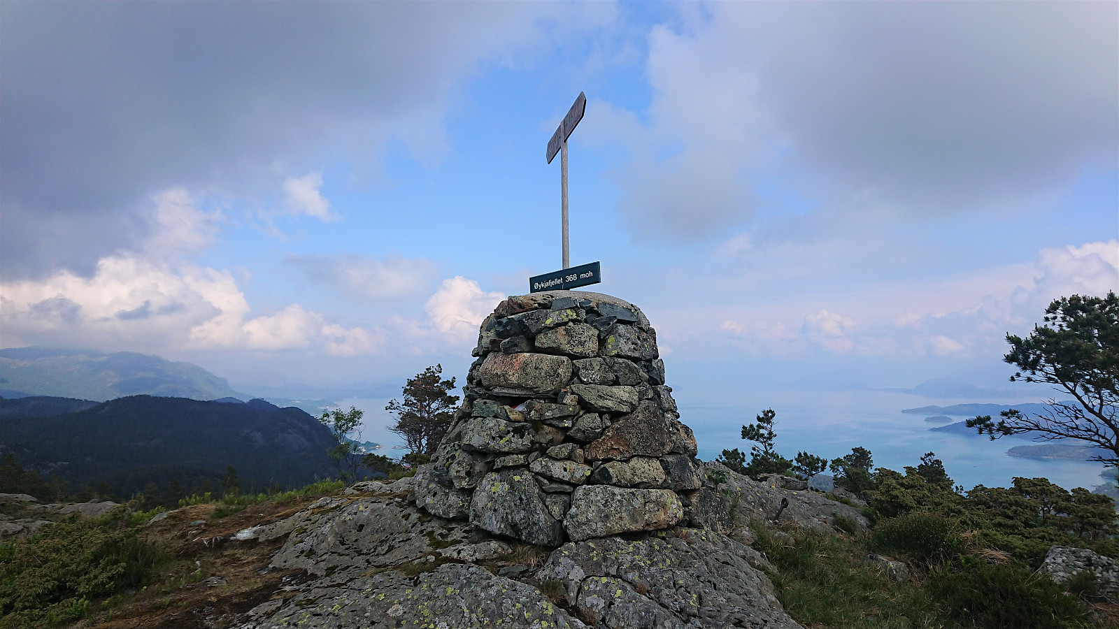
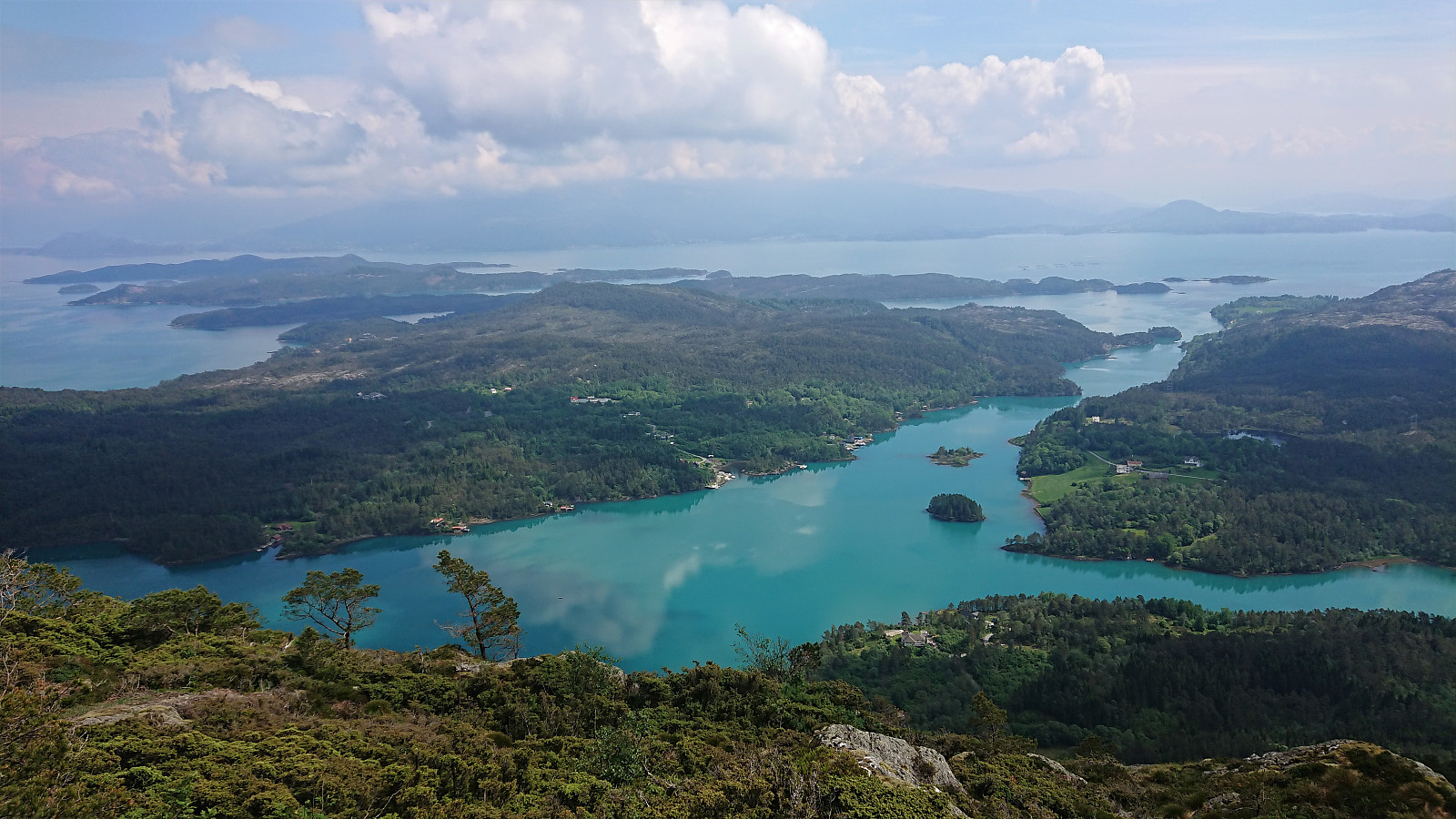
After arriving at the marked trailhead for Øykjafjellet at Flakkavågen, I left my bike at the start of the trail and continued on foot towards the summit. Note that while the sign at the trailhead was easy to locate, the start of the trail was a bit more hidden due to the uncut grass. It started out as a short tractor road, but quickly turned into an initially unmarked trail that, with the exception of it splitting once or twice early on, could be followed all the way to the summit without any difficulties. When getting to the valley northeast of the summit, a came across the first sign for Øykjafjellet, and from there on there were even some trail markers. The summit itself provided excellent views, however they were a bit limited by the low-hanging clouds not yet having lifted completely.
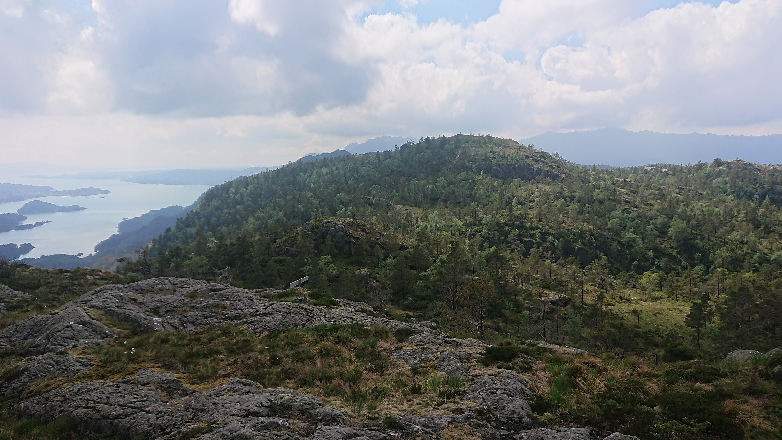
At the summit there were hiking signs for Salsborg, which was my next goal, but as I struggled to see any traces of the trail itself, and given that previous trip reports did not speak very highly of this trail (see for example knutsverre (Knut S. Andersen)'s report here), I decided to instead return to my bike and re-ascend Salsborg via its main trail.
In summary, a nice short hike along a good trail and with excellent views at the summit.
| Start date | 06.06.2021 13:47 (UTC+01:00 DST) |
| End date | 06.06.2021 15:02 (UTC+01:00 DST) |
| Total Time | 1h 14min |
| Moving Time | 1h 04min |
| Stopped Time | 0h 9min |
| Overall Average | 2.2km/h |
| Moving Average | 2.6km/h |
| Distance | 2.8km |
| Vertical meters | 355m |


User comments