
Cycling: Øykjafjellet and Salsborg from Malkenes (06.06.2021)

Written by hbar (Harald Barsnes)

| Start point | Malkenes kai (2m) |
|---|---|
| Endpoint | Lønborg (56m) |
| Characteristic | Bike trip - road |
| Duration | 9h 56min |
| Distance | 88.2km |
| Vertical meters | 1,774m |
| GPS |
|
| Visits of other PBEs | Bryggen i Bergen (1m) | 06.06.2021 |
|---|---|---|
| Salsborg p-plass (50m) | 06.06.2021 | |
| Skaret p-plass (150m) | 06.06.2021 |
Cycling: Øykjafjellet and Salsborg from Malkenes
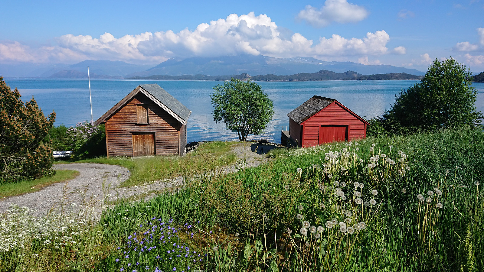
Yet another cycling trip to Tysnes, this time with the goal of visiting Øykjafjellet and Salsborg. Once again I used the highly recommended trick of bringing my bike with me on the high-speed ferry to Malkenes and thus started my cycling from there. After about 1.5 hours of cycling, I arrived at the marked trailhead for Øykjafjellet in Flakkavågen. Here I left the bike behind and continued towards the summit on foot. See the separate trip report: Øykjafjellet from Flakkavågen.
Upon returning to my bike, I cycled southwest along the road to the marked trailhead for Salsborg, where I again left the bike and started the ascent on foot. See the separate trip report: Salsborg from Skjelevika. When later returning to the trailhead I had to decide whether to continue southwest to Hodaneset, and from there follow the road north to Våge, or return to Onarheim for the route via Uggdalsdalen. I decided on the latter, even though it is slightly longer. It also contains a longer climb up from Onarheim, but as soon as the climb is completed it is basically downhill all the way to Uggdal.
In the end I made it to the ferry at Våge with half an hour to spare, feeling very lucky that I was not arriving by car, as the queue for the ferry started almost at the roundabout to the south. When getting off the ferry an hour later, I was of course whishing I would have come by car anyway, as the 42 km home to Lønborg are not the most interesting, especially after having cycled this part many times before.
Overall, a very nice trip that can be highly recommend if you want to cycle in an area with limited traffic and excellent views along the way!
| Start date | 06.06.2021 12:24 (UTC+01:00 DST) |
| End date | 06.06.2021 22:20 (UTC+01:00 DST) |
| Total Time | 9h 56min |
| Moving Time | 6h 52min |
| Stopped Time | 3h 04min |
| Overall Average | 10.1km/h |
| Moving Average | 14.6km/h |
| Distance | 100.2km |
| Vertical meters | 1,773m |
Note that the GPS track also includes the ferry from Våge to Halhjem. Subtract approximately 12 km to get the actual cycling distance.


User comments