Archiv - Nach Datum
Archiv - Nach Aktivität
-
Andere Tour (3)
- Kayaking (3)
-
Fahrradtour (110)
- Fahrradtour Straße (85)
- Fahrradtour gemischt (25)
-
Fahrzeugtour (9)
- Autotour (9)
-
Fußtour (1884)
- Bergtour (1114)
- Jogging (1)
- Spaziergang (59)
- Wanderung (710)
-
Skitour (116)
- Langlauf (47)
- Tourenskilauf (69)
Gesammelte Listen
-
Utvalgte topper og turmål i Bergen
(348/349)
 99%
99% -
Alle topper i Bergen
(391/398)
98%
-
Voss ≥ 100m pf.
(96/98)
97%
-
Opptur Hordaland
(144/159)
90%
-
Stasjoner på Bergensbanen
(33/40)
82%
-
Ulvik ≥ 100m pf.
(28/38)
73%
-
Hordaland ≥ 100m pf.
(622/863)
72%
-
Mjølfjell PF > 100m
(21/31)
67%
-
Jondal ≥ 100m pf.
(15/23)
65%
-
Dagsturhyttene i Vestland
(36/61)
59%
-
Sunnhordland PF >= 100m
(105/186)
56%
-
Hordaland: Hardanger PF>=100m
(194/359)
54%
-
DNT-hytter i Hordaland
(23/45)
51%
-
Kvinnherad ≥ 100m pf.
(40/79)
50%
-
Eidfjord ≥ 100m pf.
(13/42)
30%
-
Sogndal ≥ 100m pf.
(23/81)
28%
-
Gulen ≥ 100m pf.
(15/54)
27%
-
Vik i Sogn ≥ 100m pf.
(10/46)
21%
-
Sogn - Sør for Sognefjorden PF>=100m
(31/159)
19%
-
DNT-hytter i Sogn og Fjordane
(8/47)
17%

Ørneberget and Hellen festning
- Datum:
- 09.02.2021
- Tourcharakter:
- Bergtour
- Tourlänge:
- 1:07h
- Entfernung:
- 4,1km
 Yet another short local hike after work.
Ørneberget and Hellen festning
- Datum:
- 08.02.2021
- Tourcharakter:
- Bergtour
- Tourlänge:
- 1:14h
- Entfernung:
- 4,2km
 Short local hike after work.
Ørneberget
- Datum:
- 04.02.2021
- Tourcharakter:
- Bergtour
- Tourlänge:
- 3:03h
- Entfernung:
- 5,3km
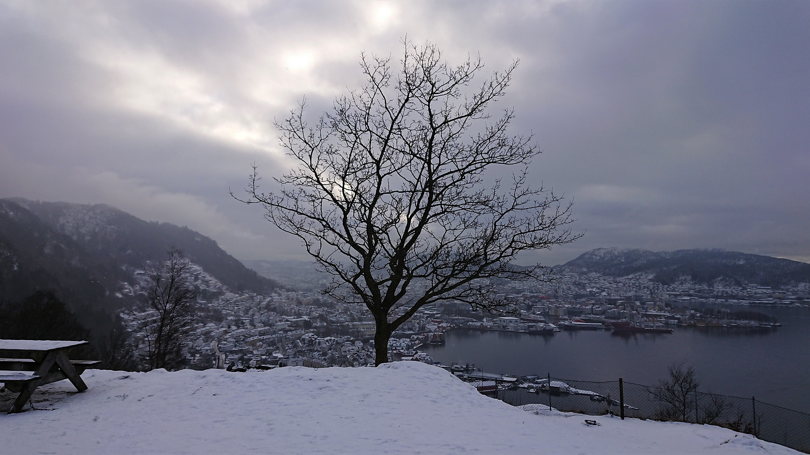
 Short local hike in the snow.
Ørneberget
- Datum:
- 03.02.2021
- Tourcharakter:
- Bergtour
- Tourlänge:
- 2:30h
- Entfernung:
- 5,4km
 Short local hike after work.
Sandviksbatteriet, Håmanen and Hellen festning
- Datum:
- 30.01.2021
- Tourcharakter:
- Bergtour
- Tourlänge:
- 2:10h
- Entfernung:
- 9,5km
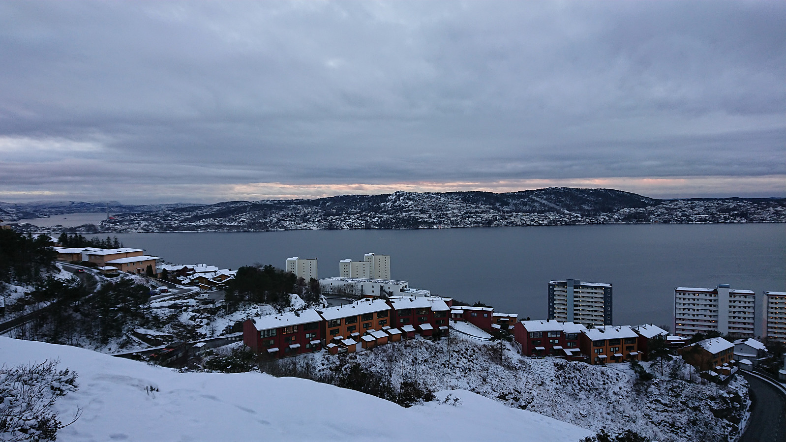
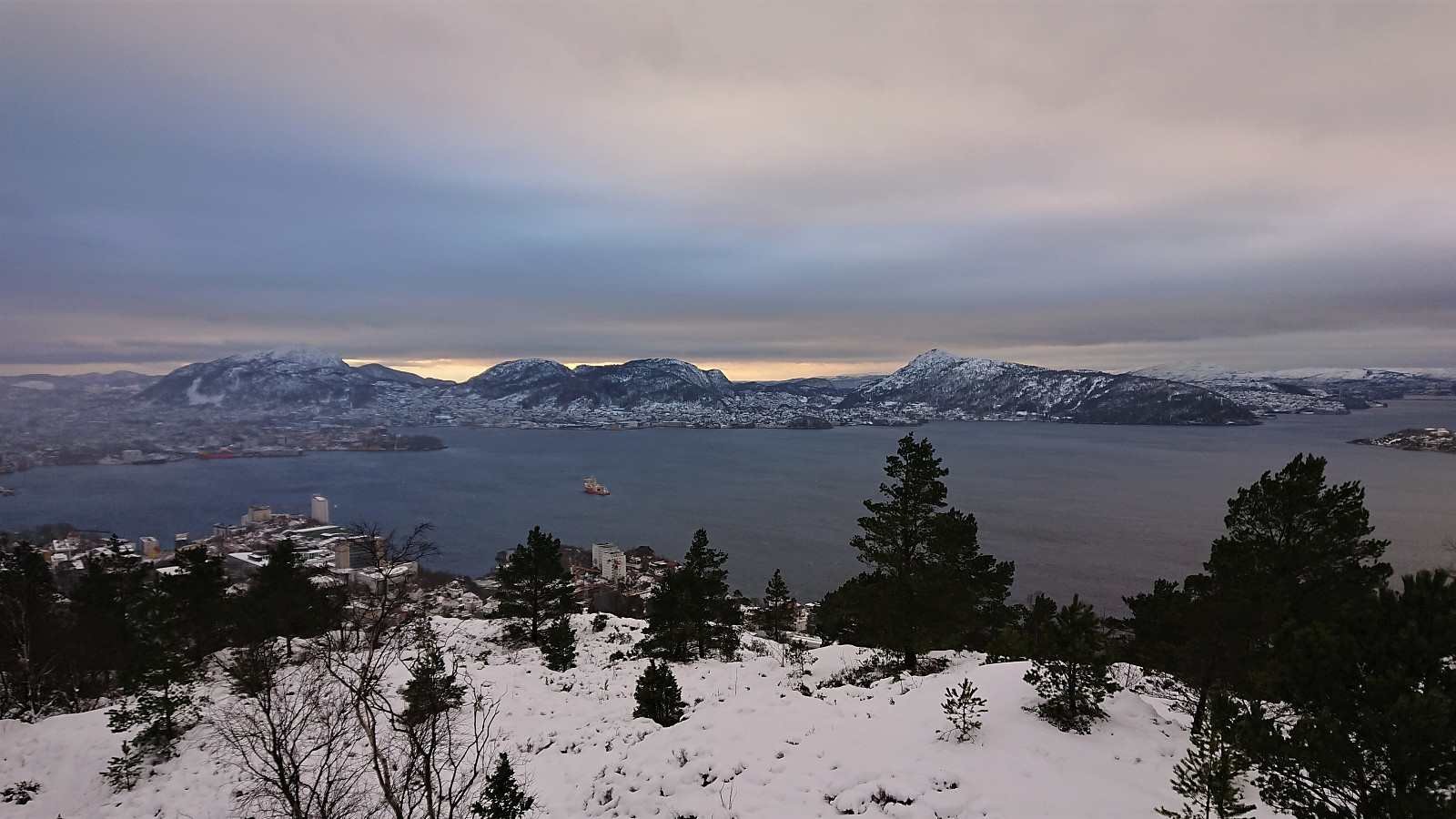
 Local hike in the snow.
Ørneberget NV and Hellemyrstien
- Datum:
- 29.01.2021
- Tourcharakter:
- Bergtour
- Tourlänge:
- 3:52h
- Entfernung:
- 6,3km
 Short local hike after work.
Ørneberget and Hellen festning
- Datum:
- 27.01.2021
- Tourcharakter:
- Bergtour
- Tourlänge:
- 1:03h
- Entfernung:
- 4,1km
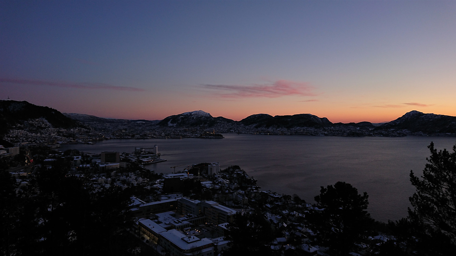
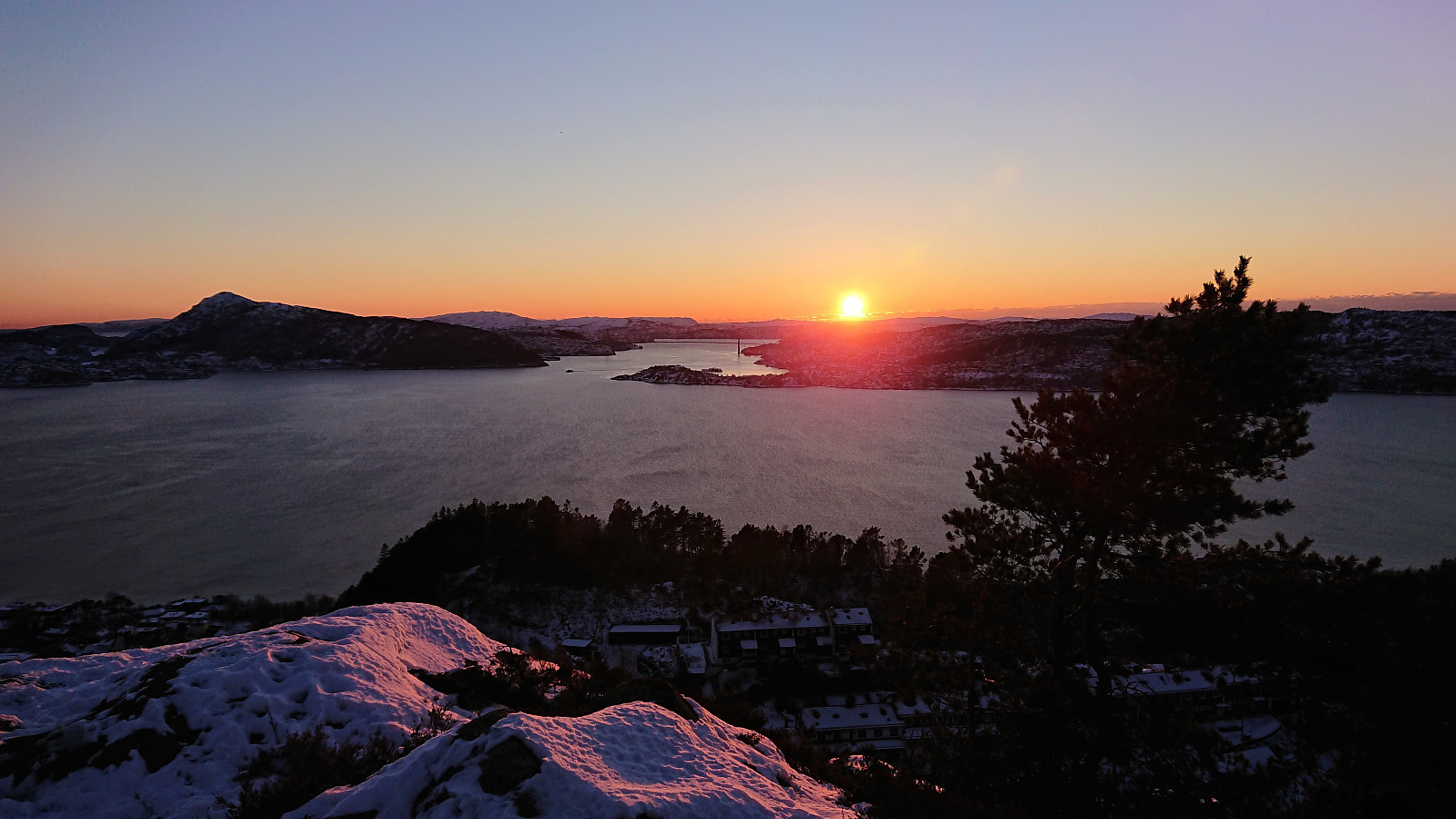
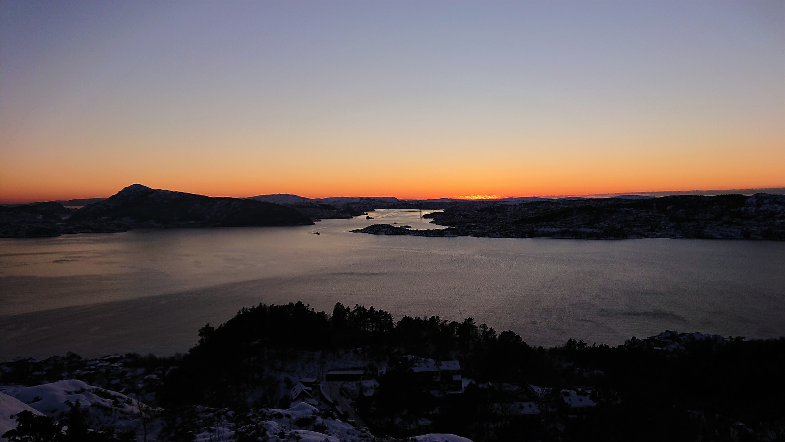
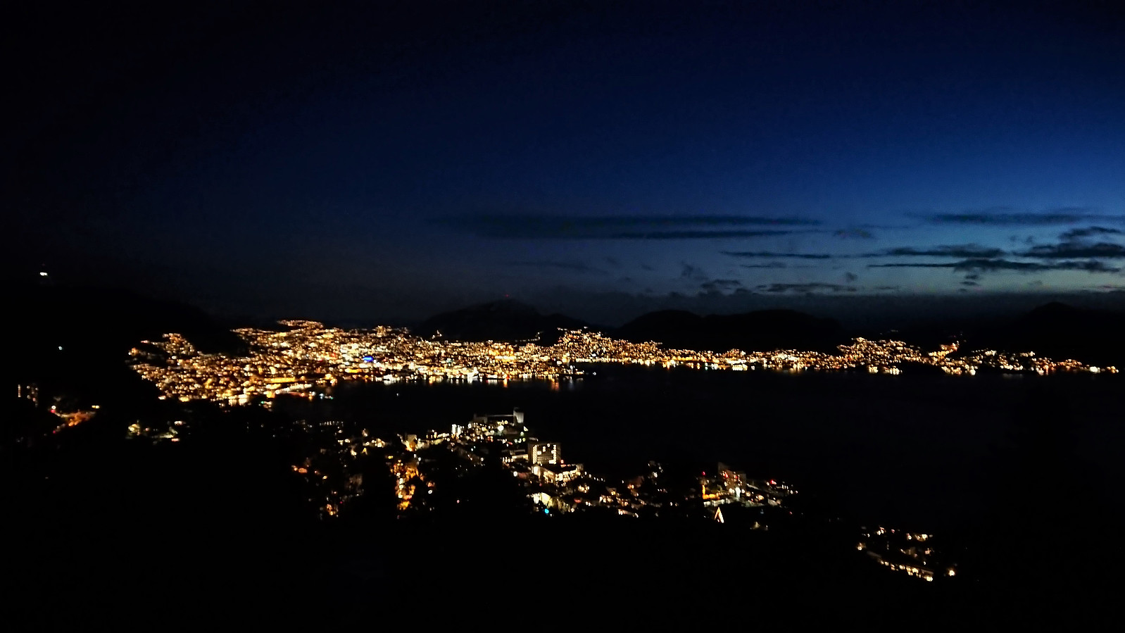
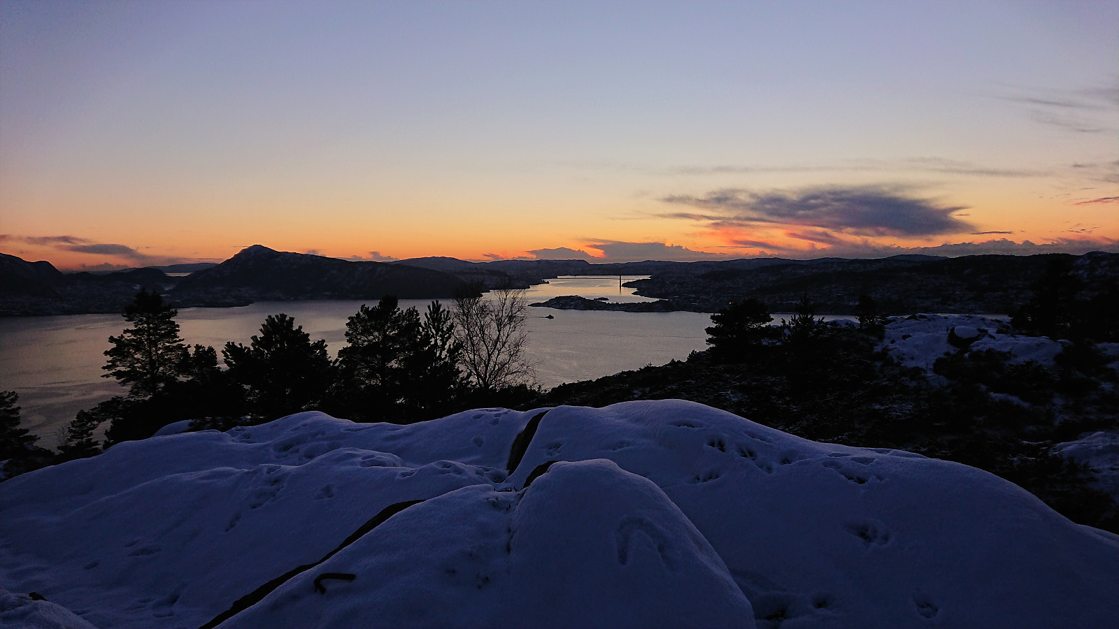 Short local hike just after sunset.
Ørneberget
- Datum:
- 23.01.2021
- Tourcharakter:
- Bergtour
- Tourlänge:
- 2:27h
- Entfernung:
- 6,4km
 Short local partly off-trail hike to avoid most of the ice.
Ørneberget
- Datum:
- 21.01.2021
- Tourcharakter:
- Bergtour
- Tourlänge:
- 1:00h
- Entfernung:
- 4,4km
 Short local evening hike on ice-covered roads and trails.
Ørneberget, Rognåsen and Håmanen
- Datum:
- 17.01.2021
- Tourcharakter:
- Bergtour
- Tourlänge:
- 1:52h
- Entfernung:
- 7,2km
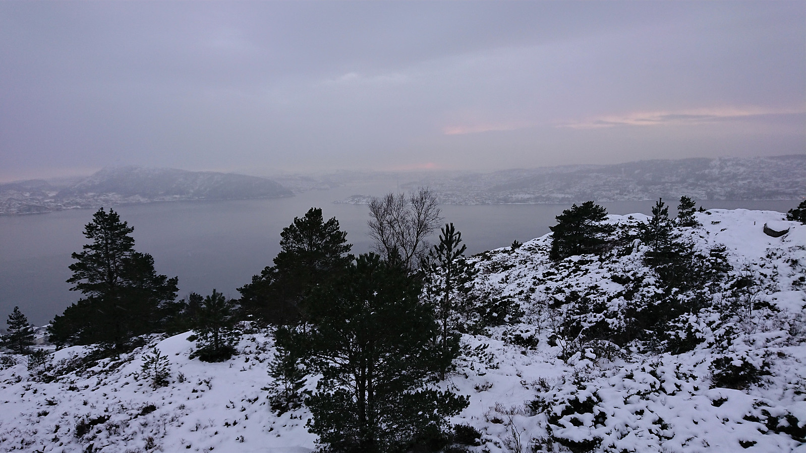
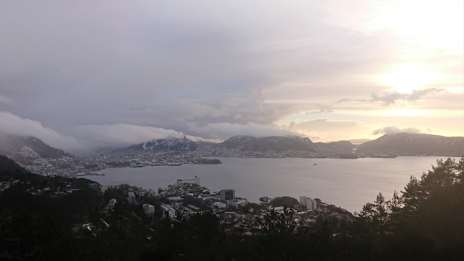
 Local hike in light snow.
Note: The GPS stopped tracking when I returned to Garpetjern, hence the length and number of vertical meters have been adjusted accordingly.
Local hike in light snow.
Note: The GPS stopped tracking when I returned to Garpetjern, hence the length and number of vertical meters have been adjusted accordingly.
