
Skjerjavasshovden from Beinhellervatnet (alternative route) (07.09.2024)

Written by hbar (Harald Barsnes)

| Start point | Norddalen v/Beinhellervatnet (716m) |
|---|---|
| Endpoint | Norddalen v/Beinhellervatnet (716m) |
| Characteristic | Hillwalk |
| Duration | 5h 45min |
| Distance | 13.5km |
| Vertical meters | 1,012m |
| GPS |
|
| Ascents | Skjerjavasshovden (1,264m) | 07.09.2024 15:41 |
|---|
Skjerjavasshovden from Beinhellervatnet (alternative route)
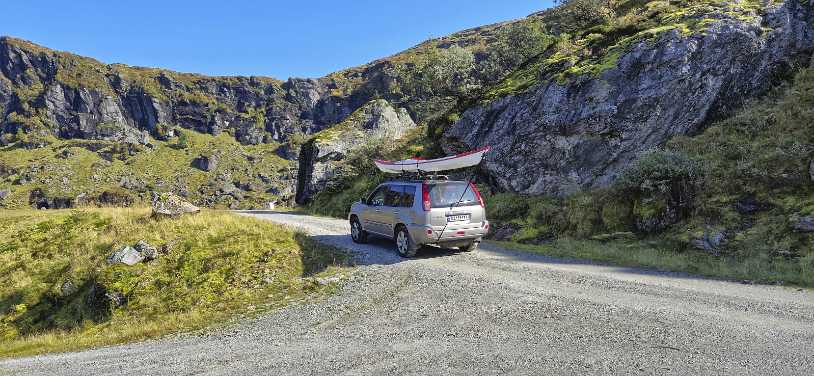

Initially, I had other hiking plans this Saturday, but then Endre gave me an offer I simply could not refuse: a ride to Norddalen such that I could visit Skjerjavasshovden. He had already been to Skjerjavasshovden but was going to drive further up Norddalen and kayak across Skjerjavatnet to ascend Trollahorgi and Belaskarhorgi.
I was picked up at my place around nine for the drive to Eksingedalen. A trip that turned out a bit longer than necessary as shortly after passing Evanger we realized that we were running low on gas. To be on the safe side we therefore turned back and made an extended detour to Voss to fill the tank. Rather annoying given the numerous gas stations we had passed on our way from Bergen...
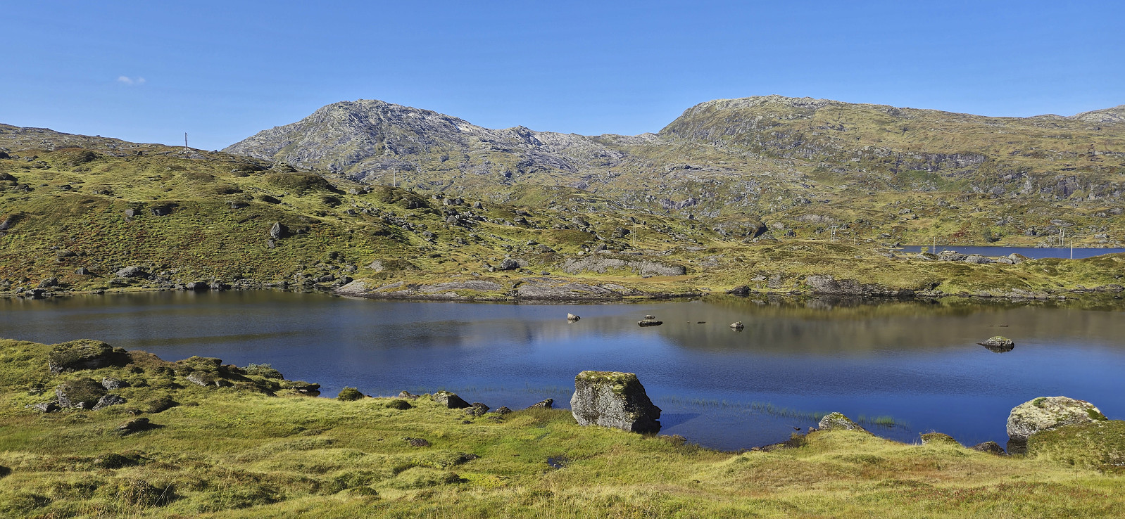
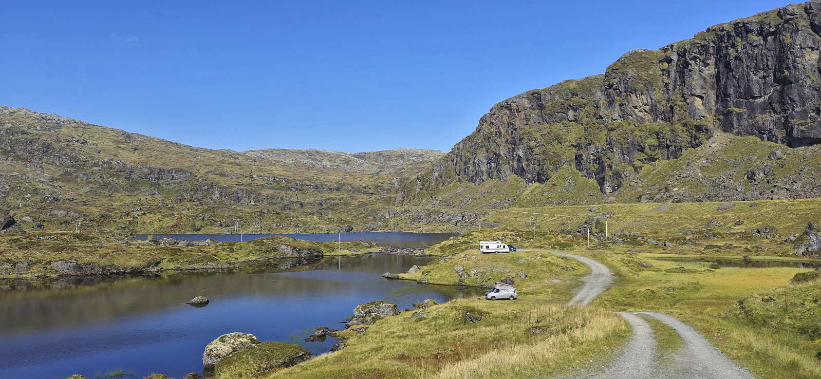
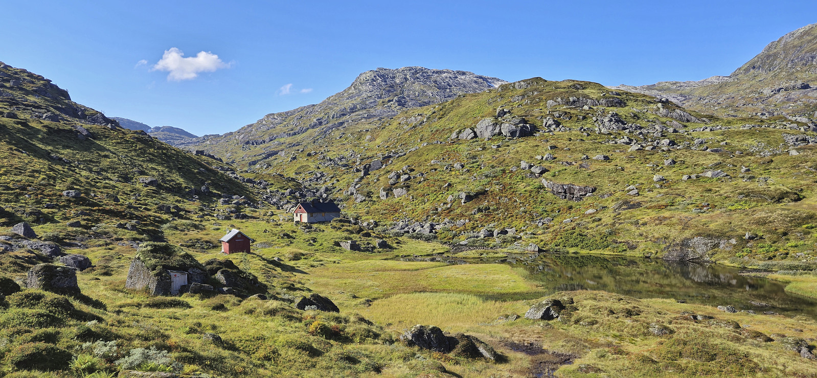
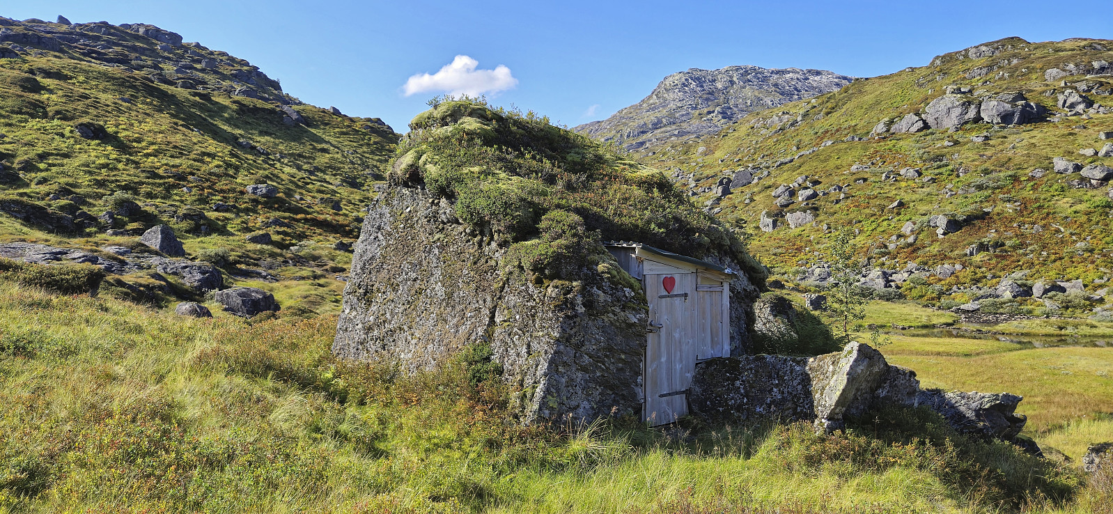
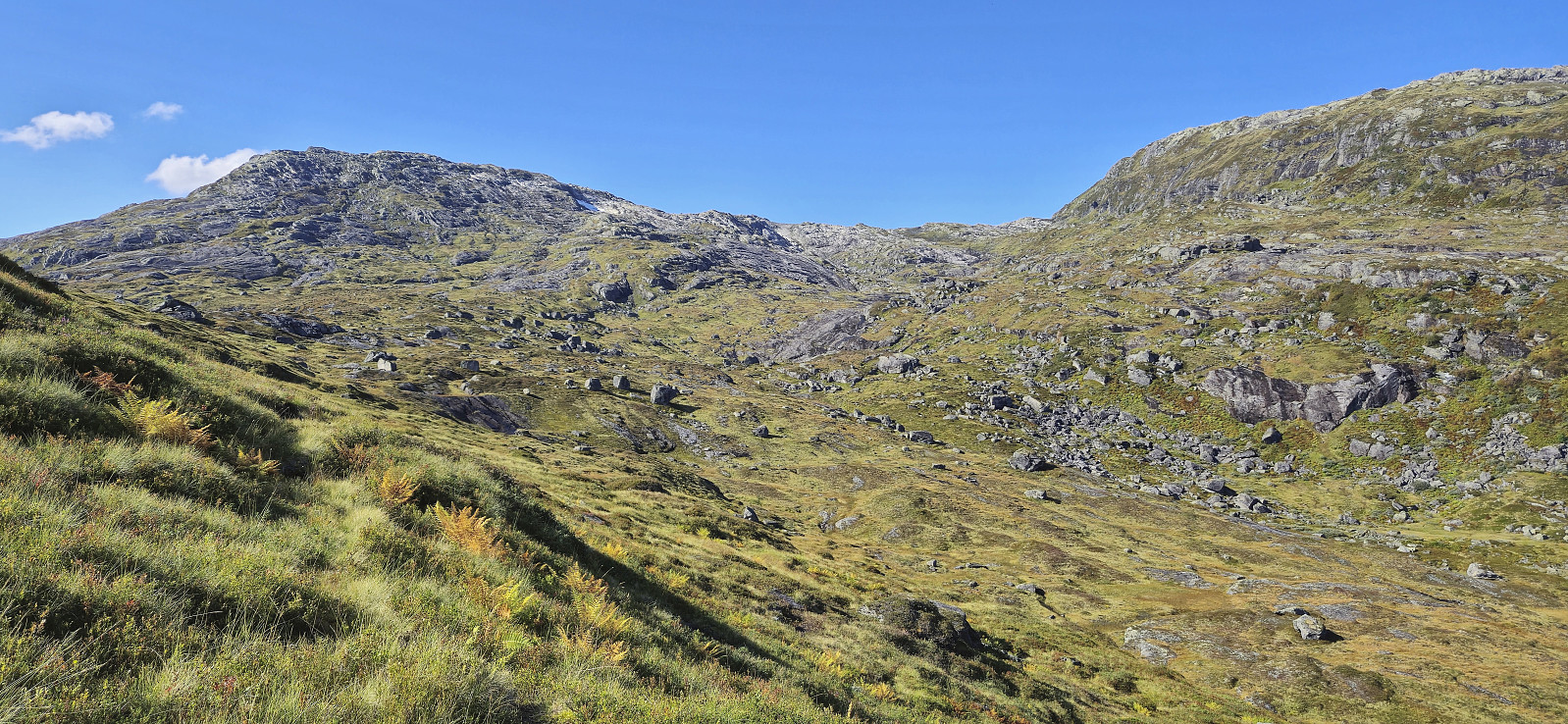
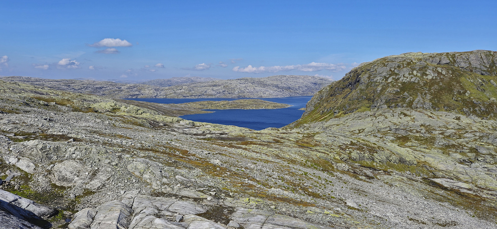
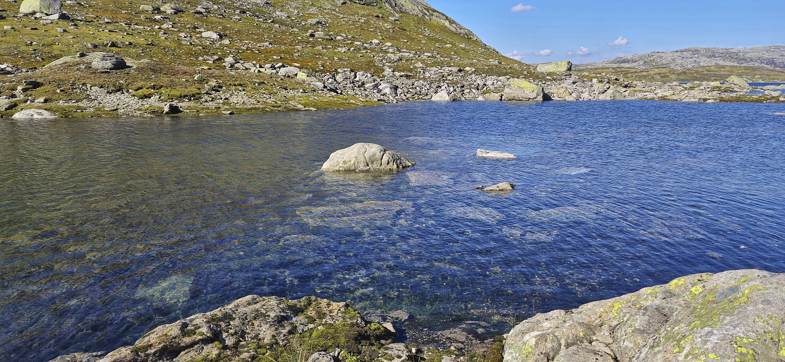
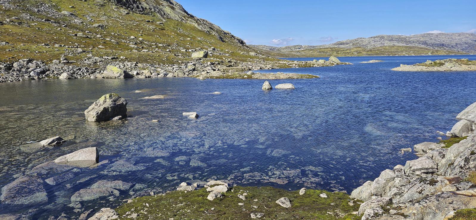
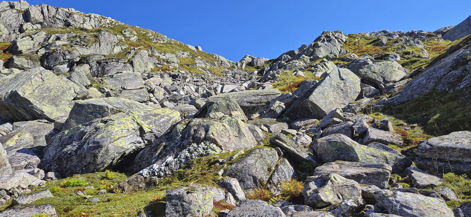
When finally arriving in Norddalen, Endre dropped me off next to Beinhellervatnet before he continued north to the parking lot at the northeastern end of Skjerjavatnet. I started my hike by following in the footsteps of previous hikers, first doing an easy river crossing at the southeastern end of Beinhellervatnet and then following a trail/animal track to Beinhelleren. The same trail/track could be followed around halfway to Heimsta Belaskaret and when it disappeared it was still relatively easy to make progress on my own.
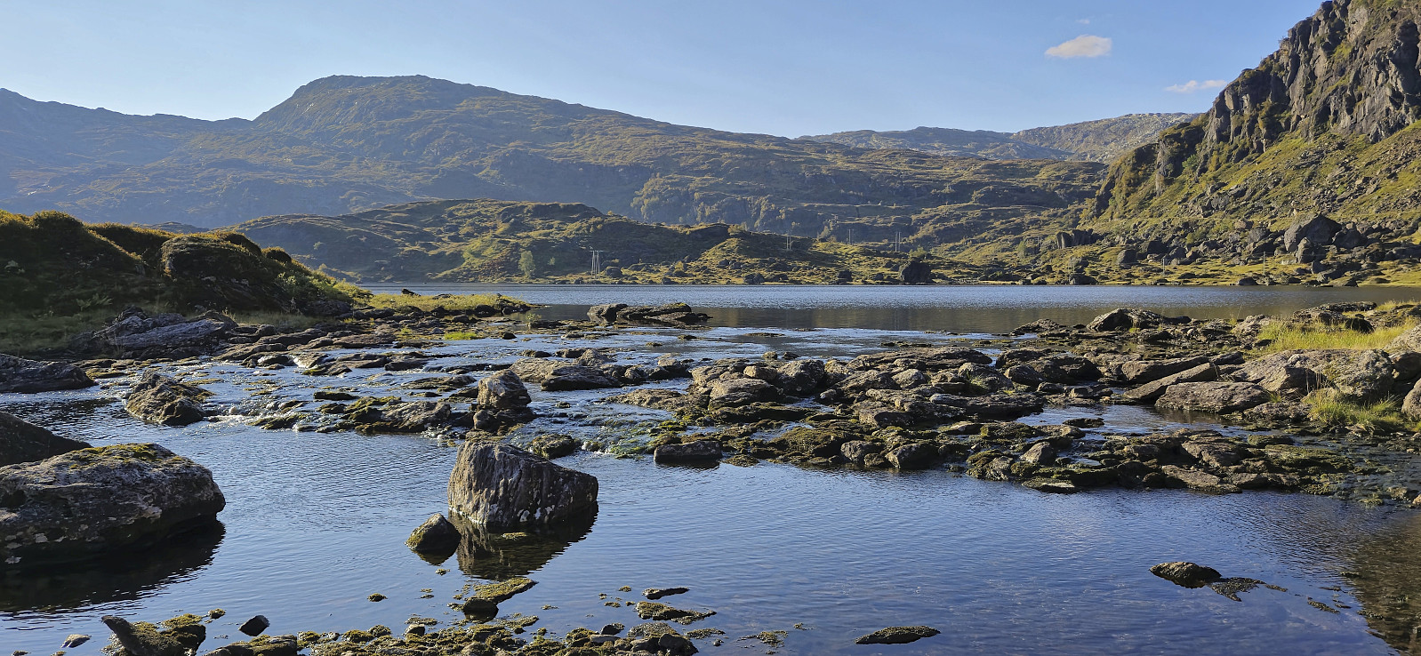
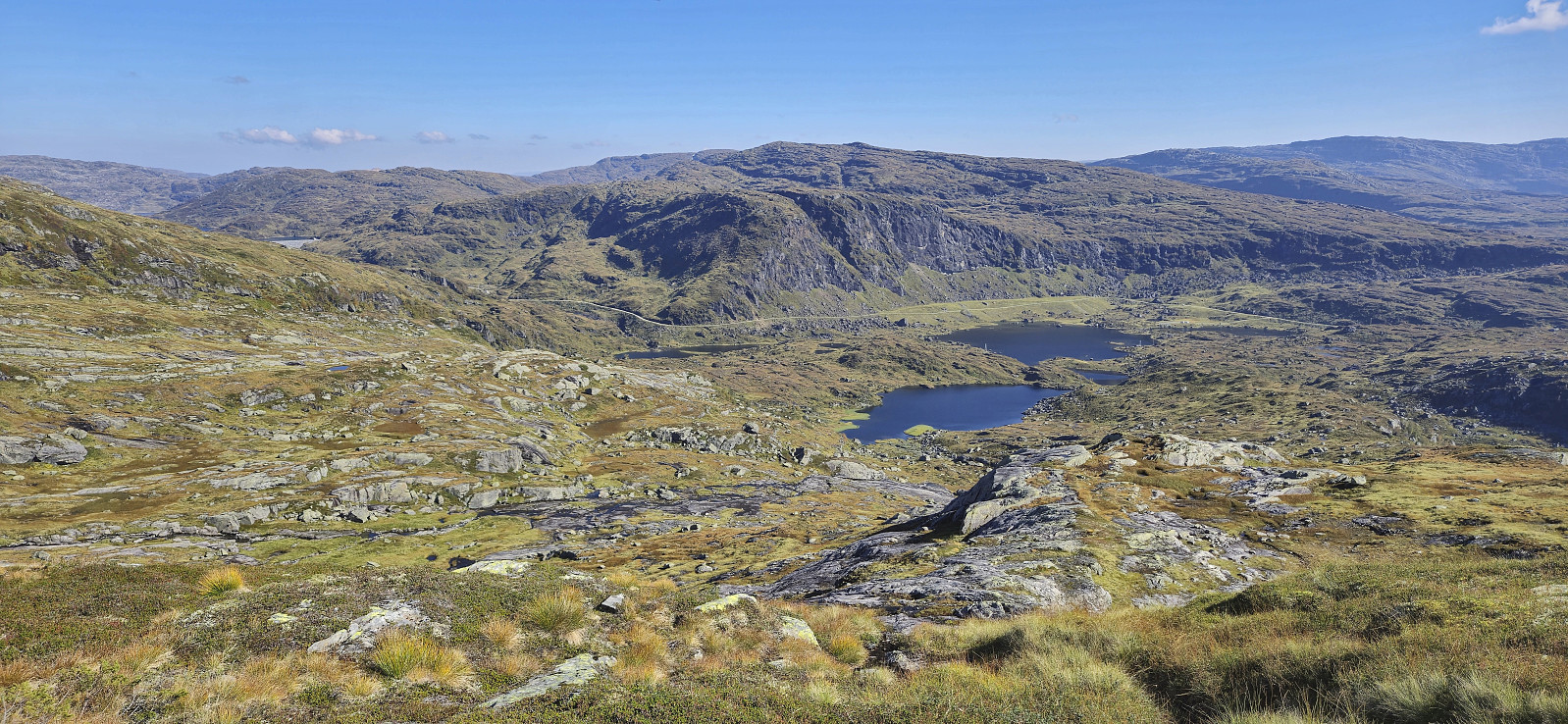
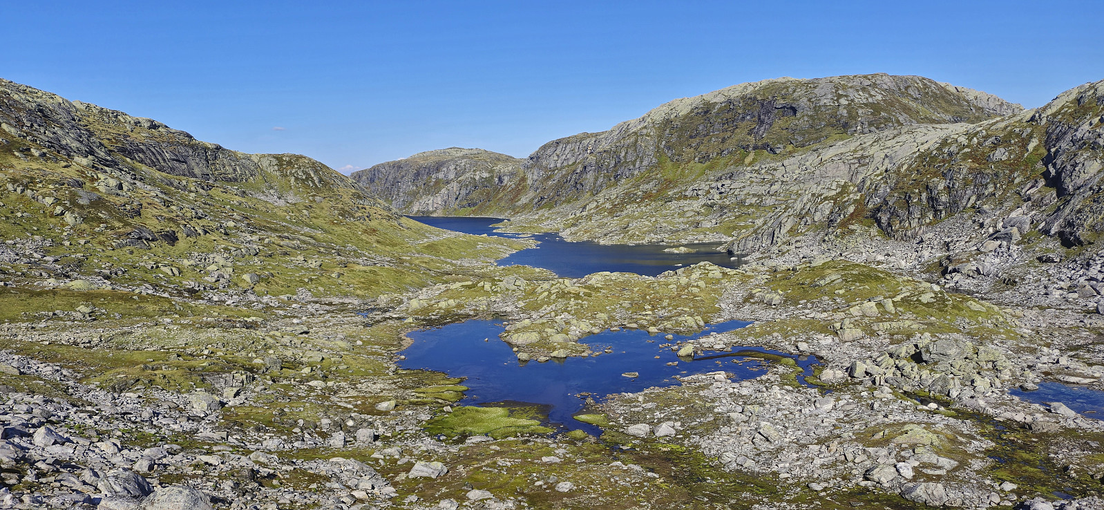
From the top of Heimsta Belaskaret, I did what other hikers have done and descended to Lonevågen. Here I was prepared to, in the worst case, get my feet wet, however it turned out that the water level was much higher than normal and crossing to the other side would be more complicated. (See pictures from previous trip reports indicating what I was expecting here and here, and of normal(?) water levels in Lonevågen here and here.)
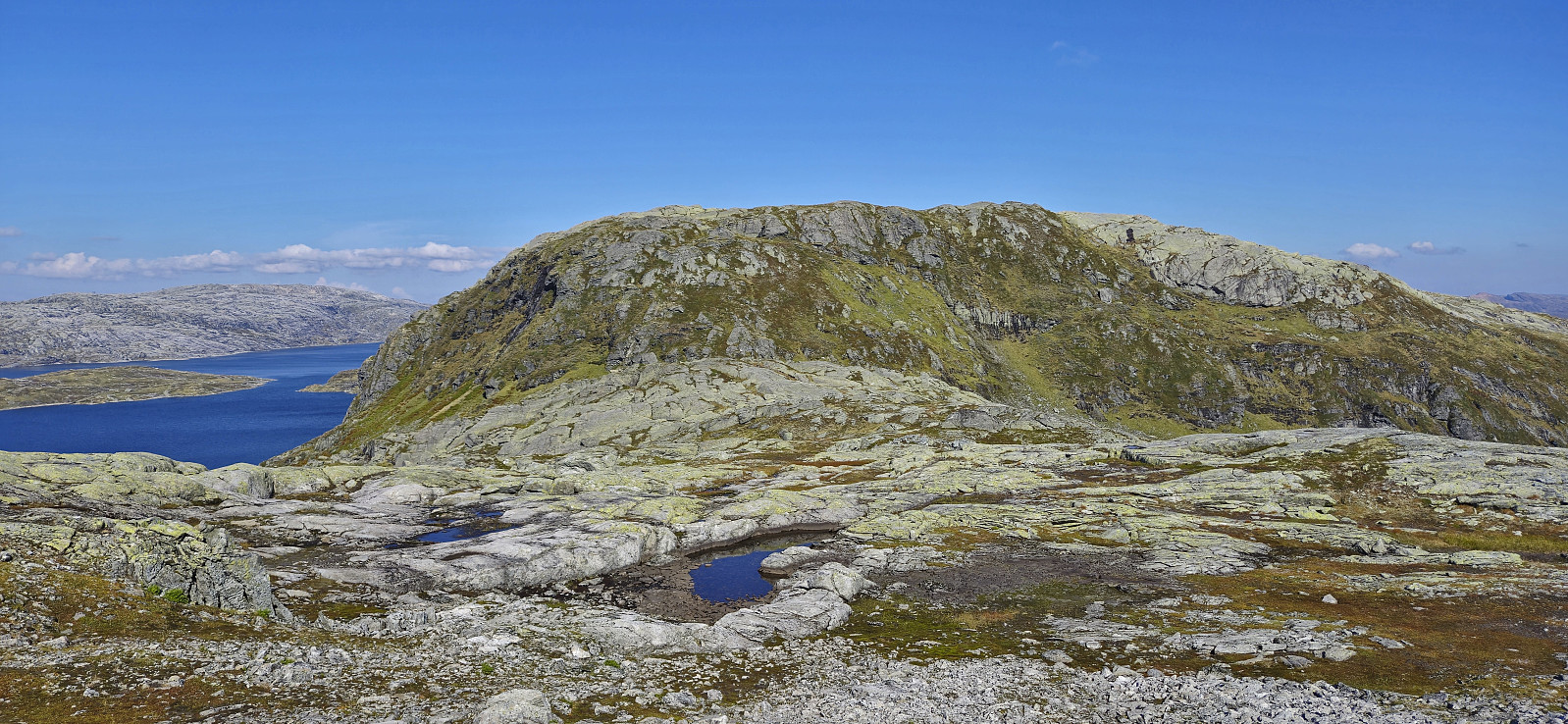
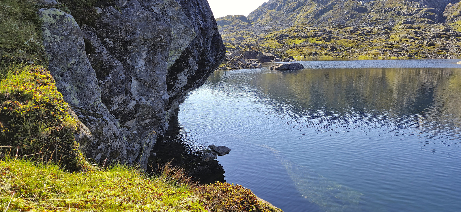
In an attempt to avoid getting too wet, I tried walking around the lake to the south but found that route blocked by the mountain going directly into the lake. The matter was made more frustrating by the fact that I could see Endre's kayak on the other side but had no way of getting to it. (I later learnt that Endre had left the kayak at a suboptimal location for his hike as well…)
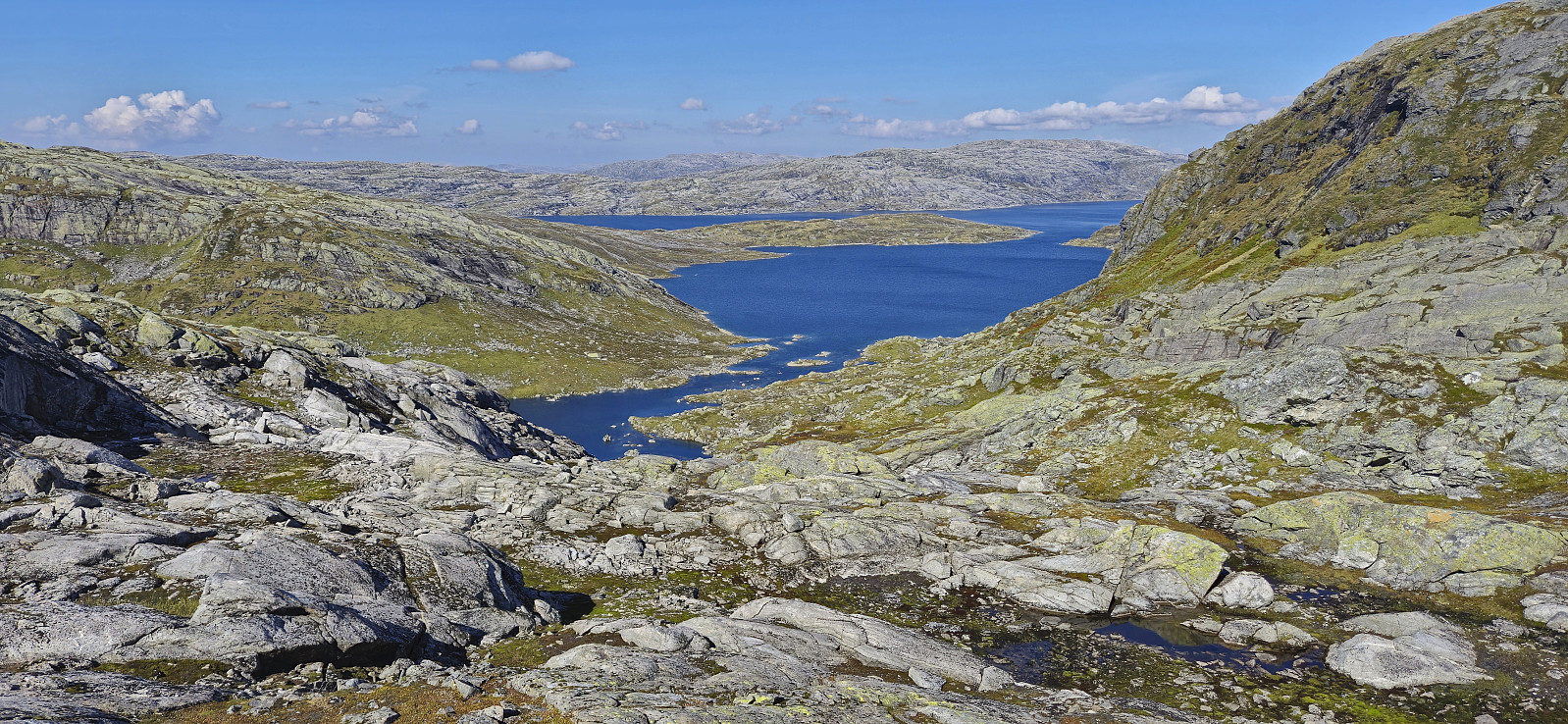
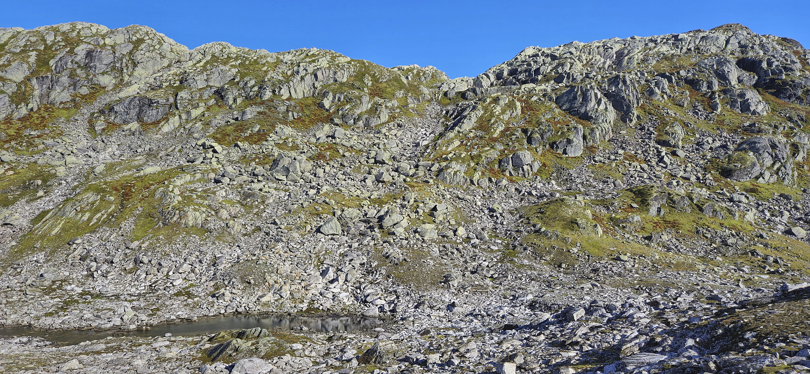
There was nothing to do but return to what seemed like the shallowest area and attempt to wade across. But after making it halfway across, the cold water just kept getting deeper, and I finally decided to give up and look for an alternative route, i.e., walking back up Heimsta Belaskaret and searching for a safe descent route further south.
At the top of Heimsta Belaskaret I came across Endre. He had just completed his ascent of Trollahorgi and was on his way to Belaskarhorgi. After a quick chat we went our separate ways, after first agreeing that with my unplanned detours he would have the time to also visit Askjellfjellet before later picking me up at next to Beinhellervatnet.
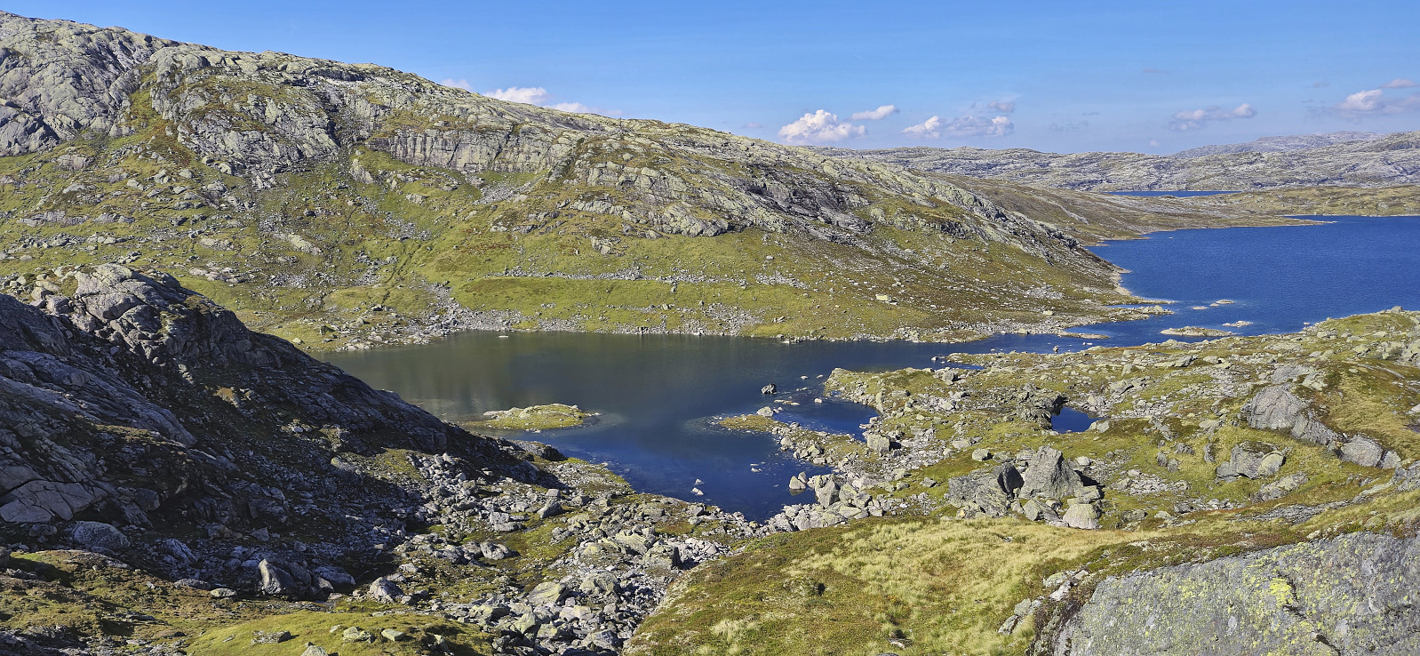
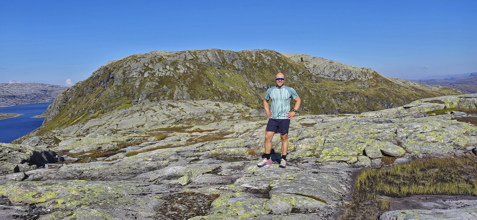
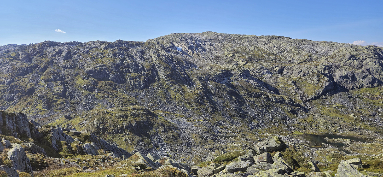
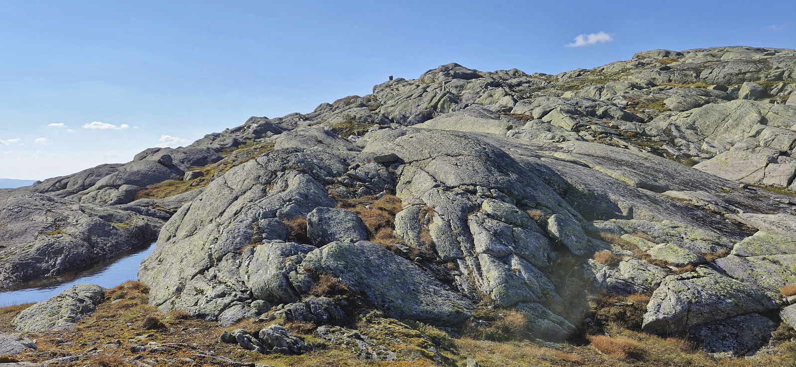
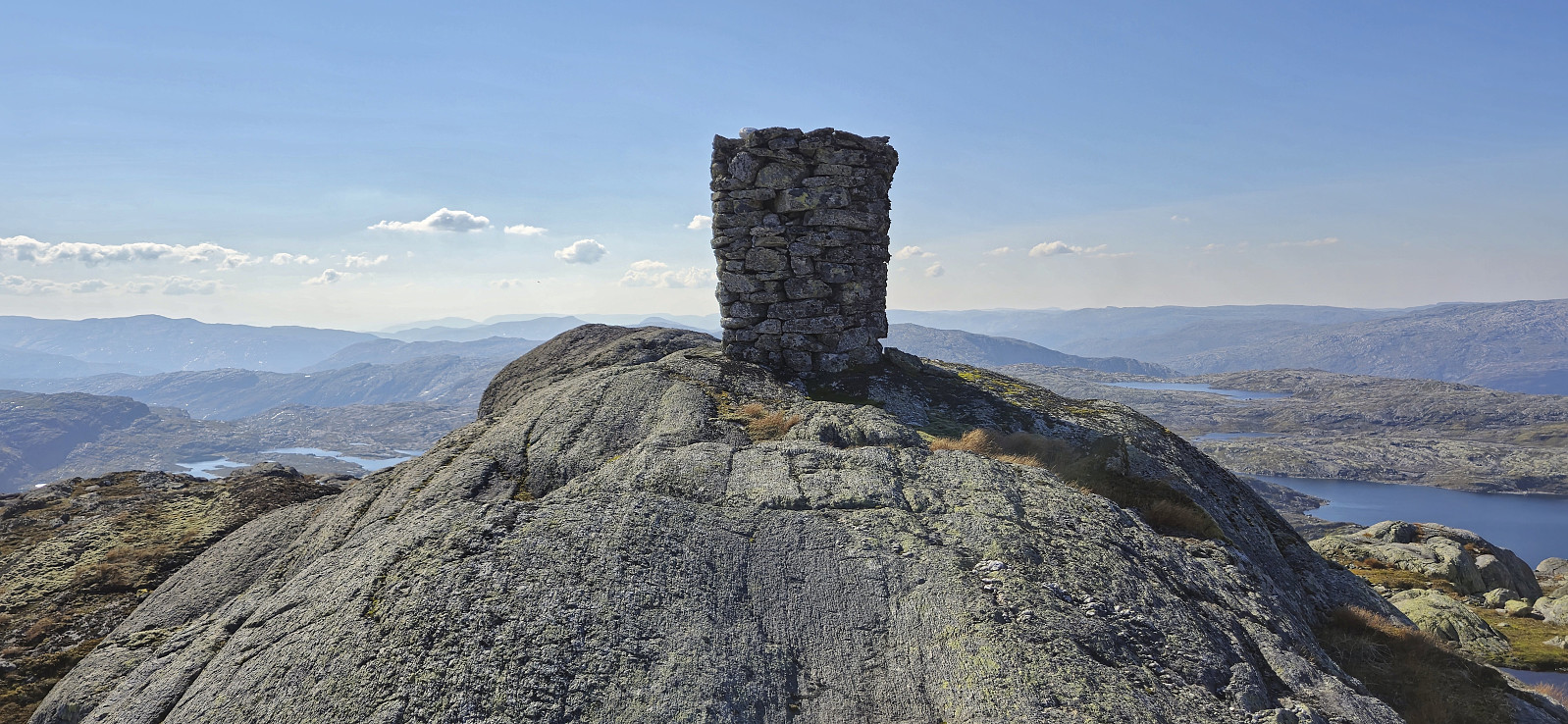
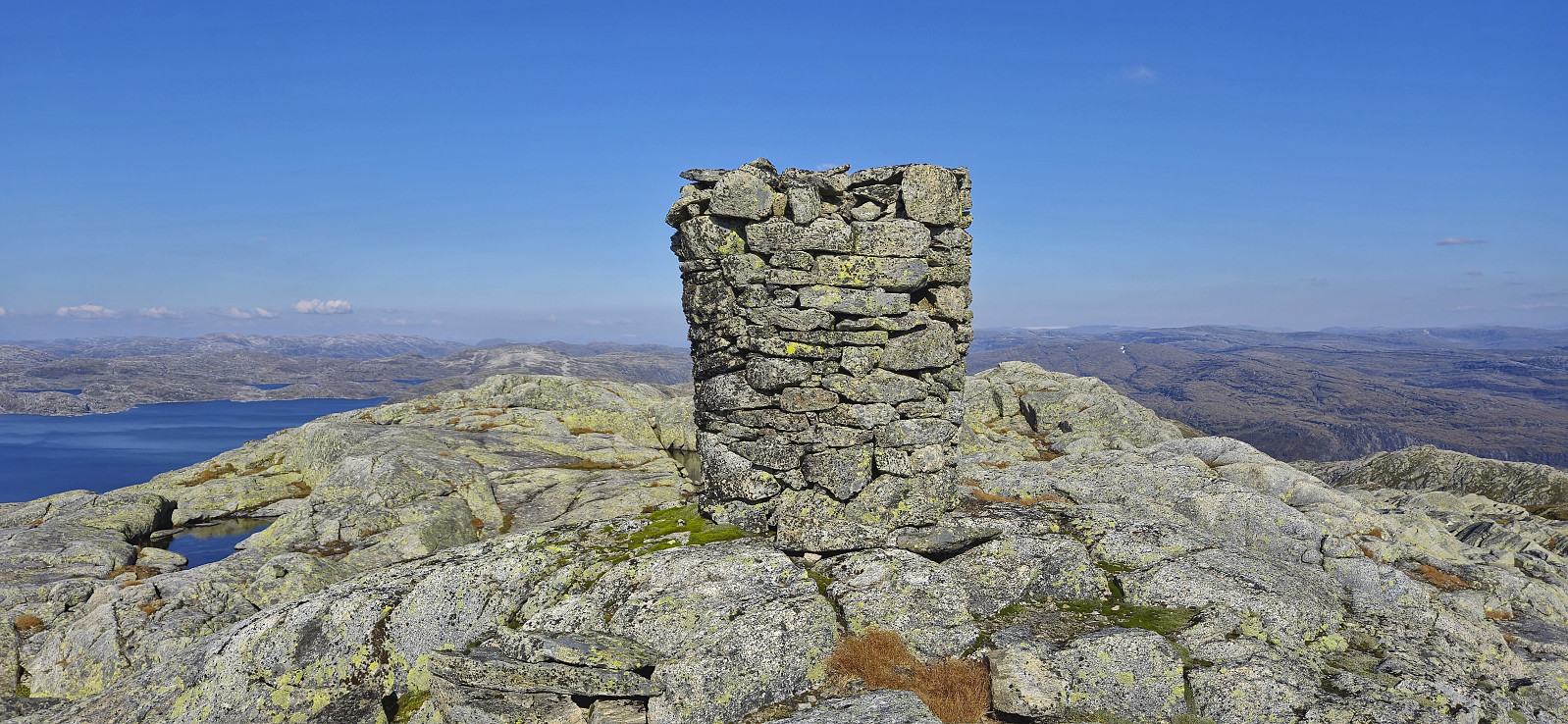
Finding an alternative descent to south of Lonevågen was straightforward and the following ascent to the large summit cairn of Skjerjavasshovden was also carried out without any issues. After a short break at the summit, I returned more or less the same way to Beinhellervatnet, but of course skipping the detour to Lonevågen this time around. In the end, I made it to the gravel road in Norddalen with time to spare and even had to wait around 20 minutes before Endre showed up.
To conclude, ascending Skjerjavasshovden from Beinhellervatnet can be done quite easily, both at high and low water levels in Skjerjavatnet/Lonevågen, but it is probably recommended to make a decision on which descent route to take from the top of Heimsta Belaskaret before descending to Lonevågen. ;)
| Start date | 07.09.2024 11:59 (UTC+01:00 DST) |
| End date | 07.09.2024 17:44 (UTC+01:00 DST) |
| Total Time | 5h 45min |
| Moving Time | 4h 54min |
| Stopped Time | 0h 51min |
| Overall Average | 2.3km/h |
| Moving Average | 2.8km/h |
| Distance | 13.5km |
| Vertical meters | 1,011m |


User comments