
Hesthovden (10.02.2024)

Written by hbar (Harald Barsnes)

| Start point | Sleirsvegen v/Fagrevika (23m) |
|---|---|
| Endpoint | Sleirsvegen v/Fagrevika (23m) |
| Characteristic | Hillwalk |
| Duration | 0h 51min |
| Distance | 2.7km |
| Vertical meters | 247m |
| GPS |
|
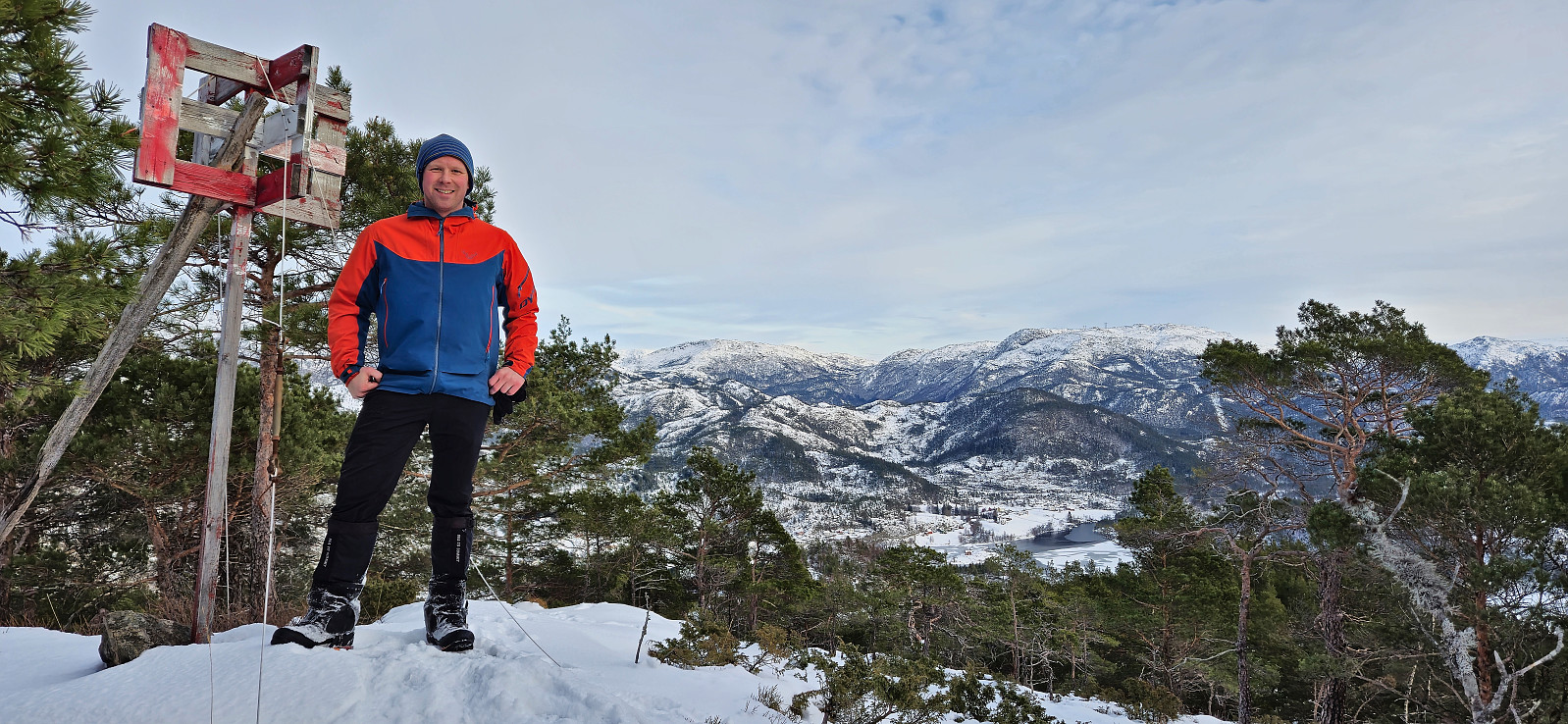
| Ascents | Hesthovden (273m) | 10.02.2024 |
|---|---|---|
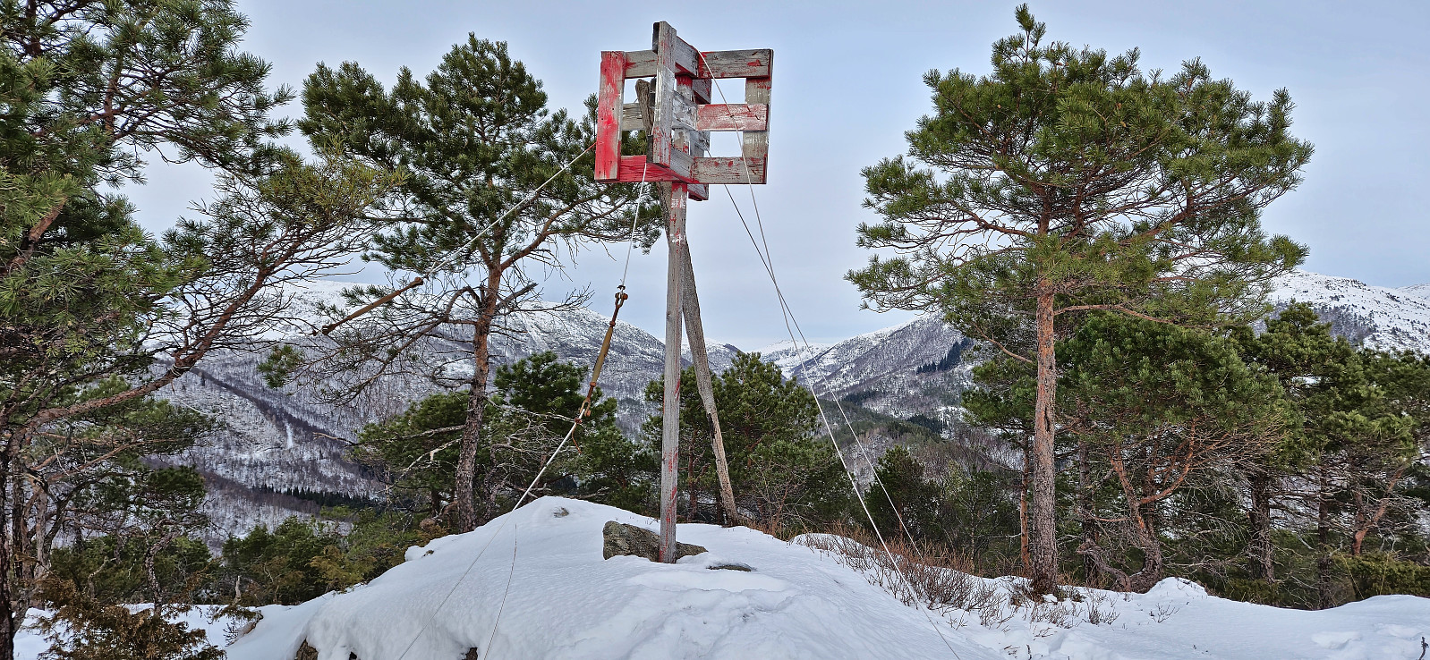
| Visits of other PBEs | Hesthovden trigpunkt (272m) | 10.02.2024 14:25 |
Hesthovden
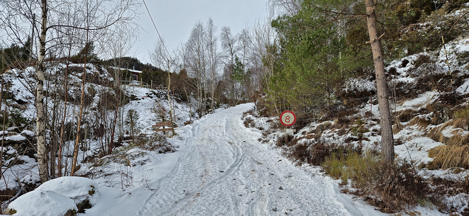
Upon arriving at the start of the tractor road where we planned to start our hike to Hesthovden, after visiting Brunane, we once again struggled to find proper parking. After a brief discussion about whether the car was blocking traffic or not, Endre concluded that given that there were two ways of driving from the main road to the tractor road we could block one of them without it being an issue. I was less certain.
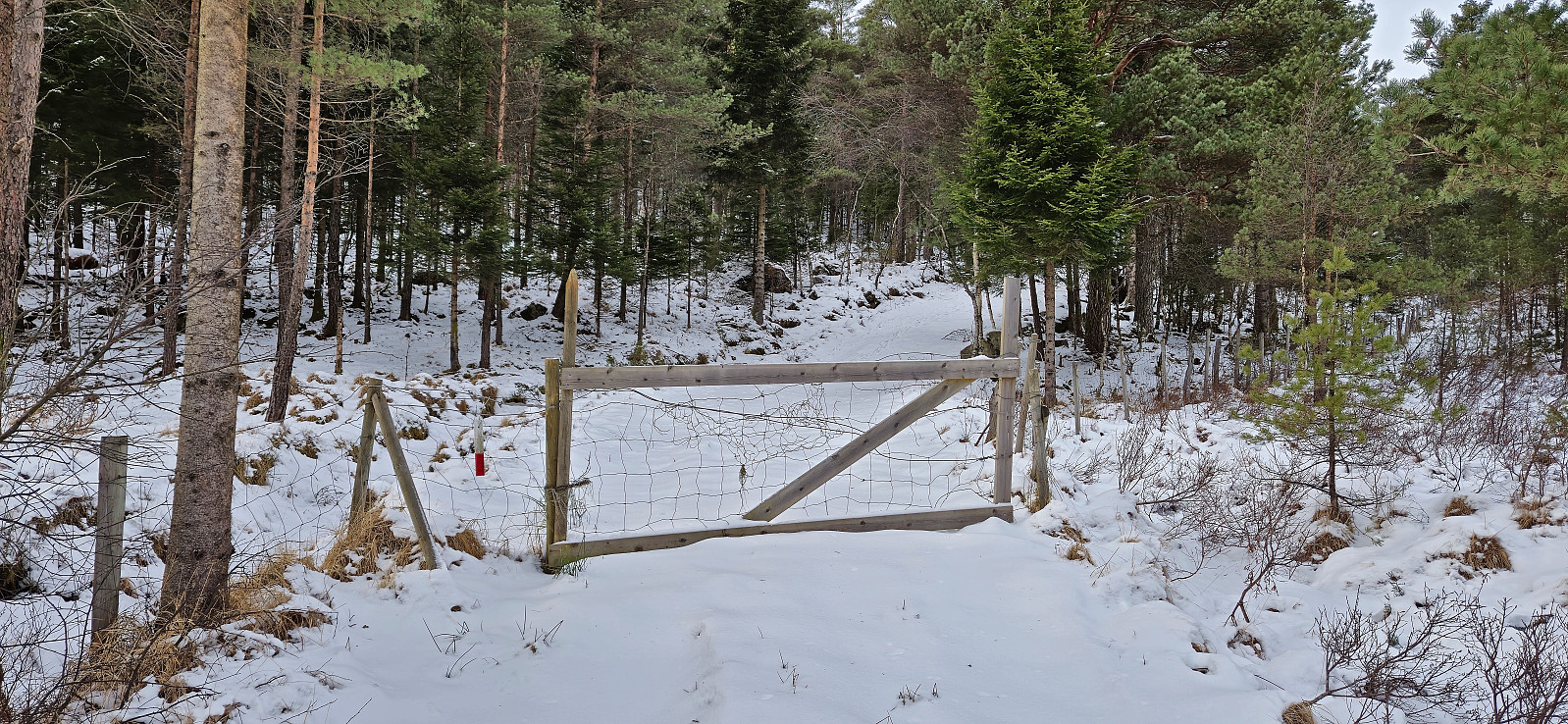
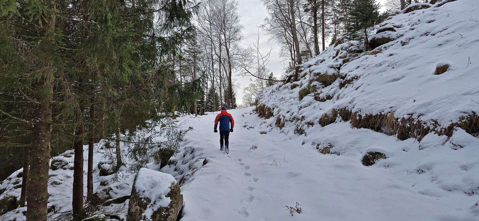
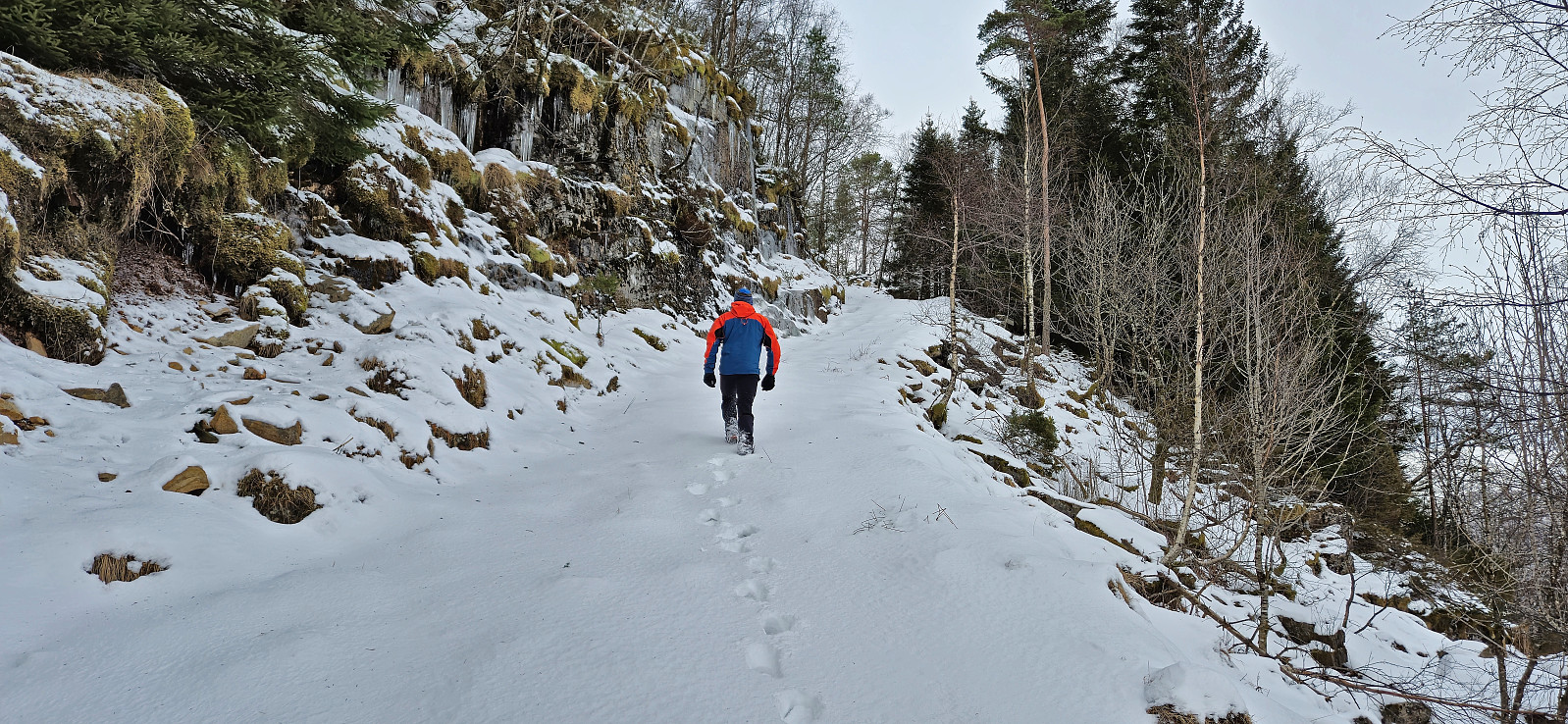
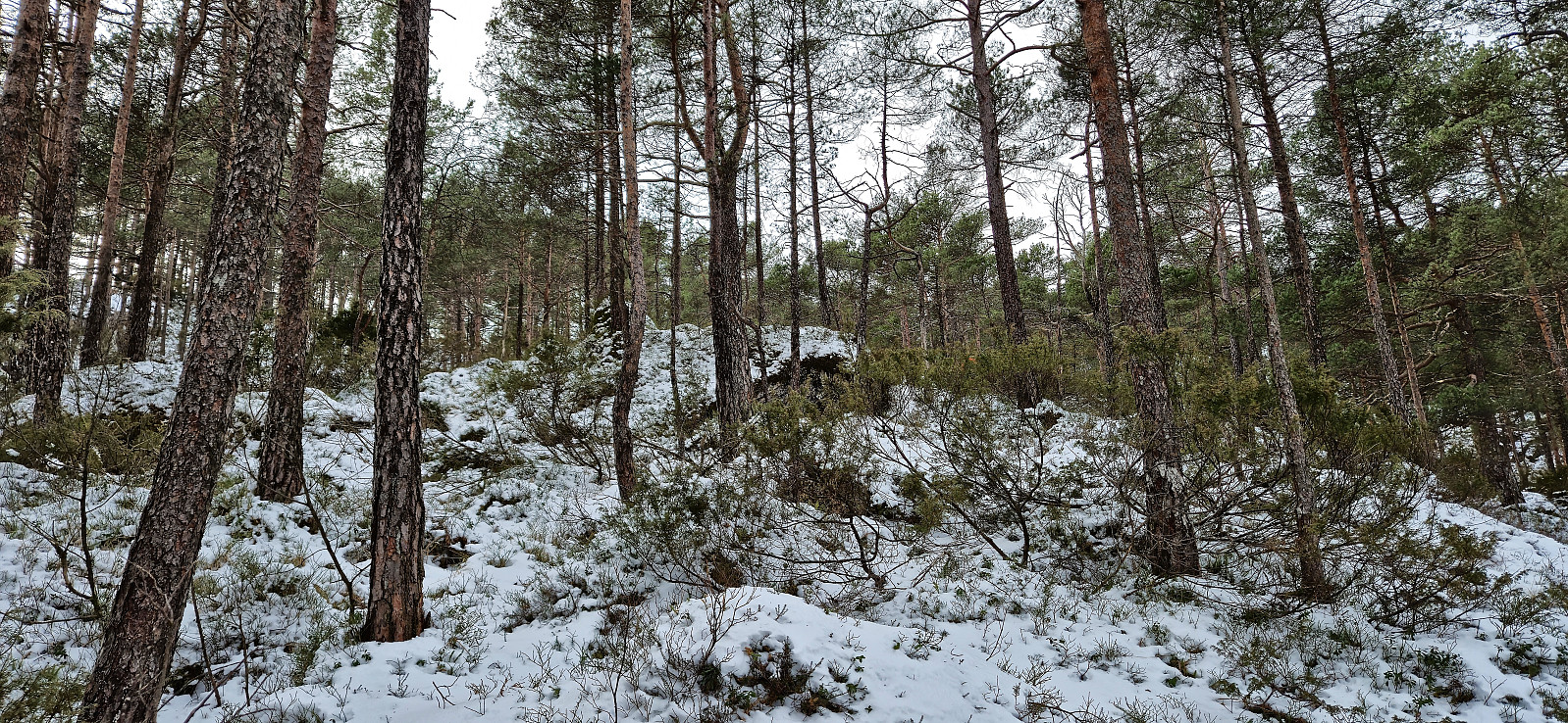
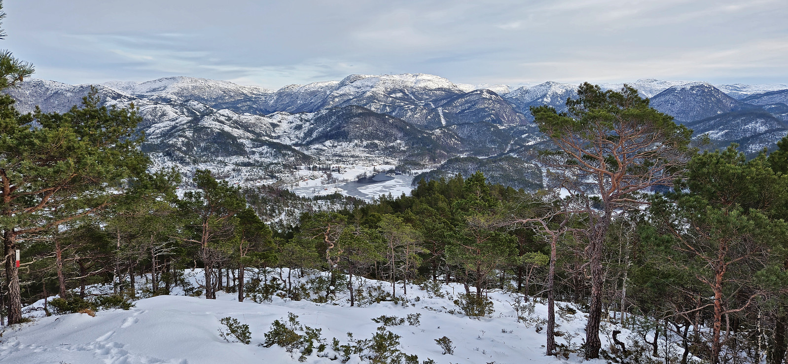
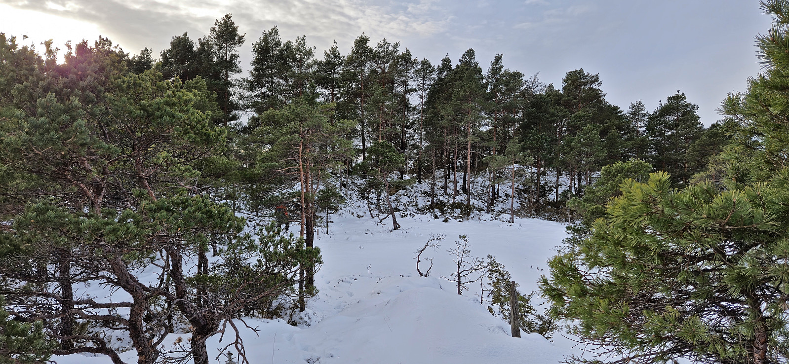
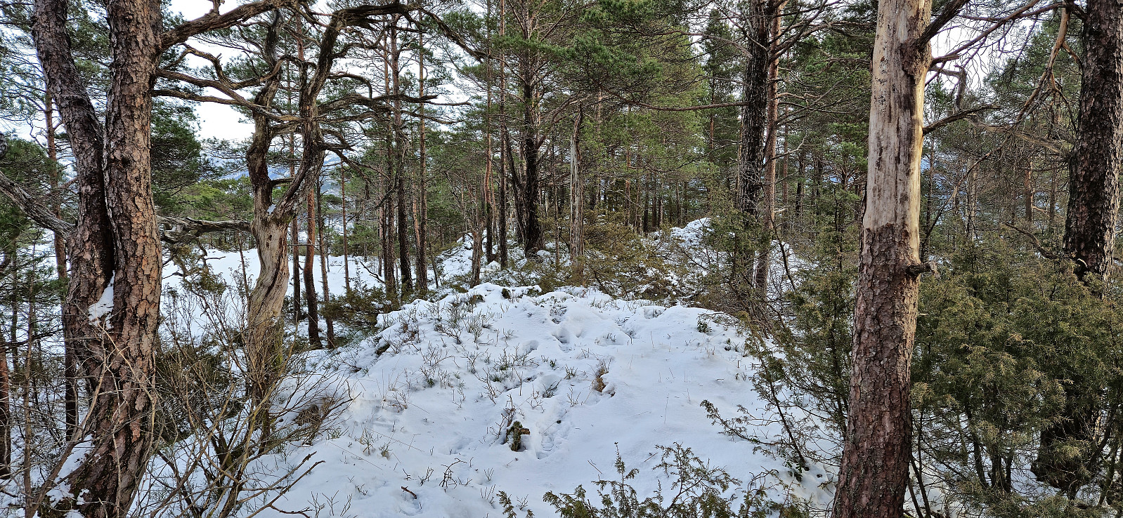
We followed the tractor road northwest and passed through a gate before the road started winding its way upwards. When the tractor road came to an end we headed off-trail towards the summit and reached it without any real challenges. After visiting both the trig marker and an alternative summit to the northwest, we returned along the same route.
When we were almost back at the car, we met a local farmer on a quad bike that kindly asked us to move our car as it was making it difficult for him to get by with his tractor. We of course did as requested and could finally settle the earlier discussion regarding Endre's choice of parking. Note that in the summer it is most likely possible to park at least one car at the start of the tractor road without being in the way.
While our route to the summit was not too bad, I later found out that there is most likely a marked trail to the summit that may be a better option. See Geir's trip report for details.
Finished with 4 out of the 7 planned peaks, we now drove southeast towards Låveidrusta.
| Start date | 10.02.2024 14:24 (UTC+01:00) |
| End date | 10.02.2024 15:15 (UTC+01:00) |
| Total Time | 0h 51min |
| Moving Time | 0h 51min |
| Stopped Time | 0h 0min |
| Overall Average | 3.1km/h |
| Moving Average | 3.1km/h |
| Distance | 2.7km |
| Vertical meters | 247m |


User comments