
Stemmedalshaugane from Fjelltveit (21.07.2023)

Geschrieben von hbar (Harald Barsnes)

| Startpunkt | Fjelltveit (60m) |
|---|---|
| Endpunkt | Fjelltveit (60m) |
| Tourcharakter | Bergtour |
| Tourlänge | 2h 15min |
| Entfernung | 7,0km |
| Höhenmeter | 370m |
| GPS |
|
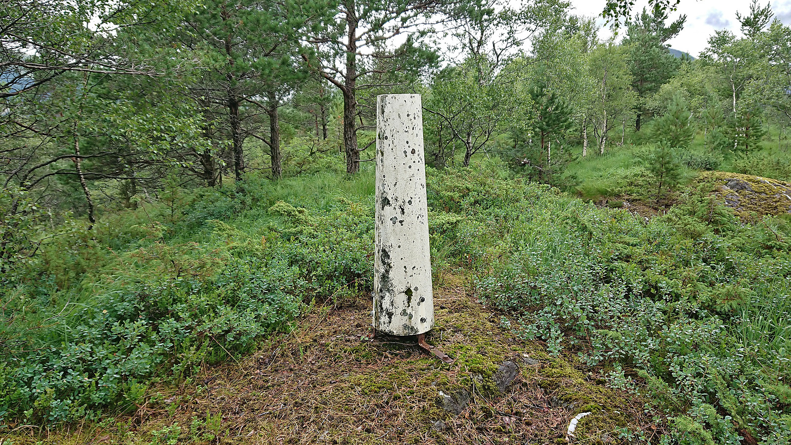
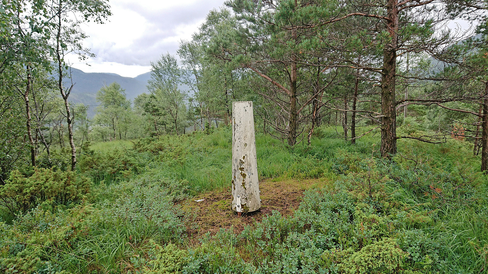
| Besteigungen | Stemmedalshaugane (319m) | 21.07.2023 |
|---|---|---|
| Besuche anderer PBE | Frotveitelva bro (263m) | 21.07.2023 |
| Smogakampen (275m) | 21.07.2023 | |
| Søylen på Stemmedalshaugane (317m) | 21.07.2023 |
Stemmedalshaugane from Fjelltveit
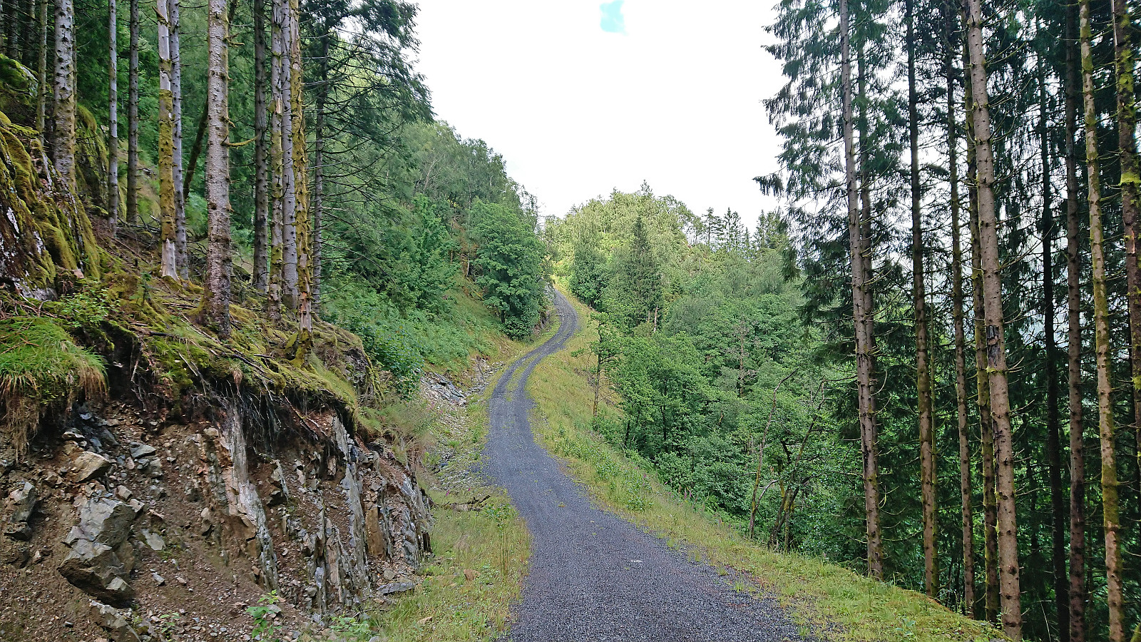
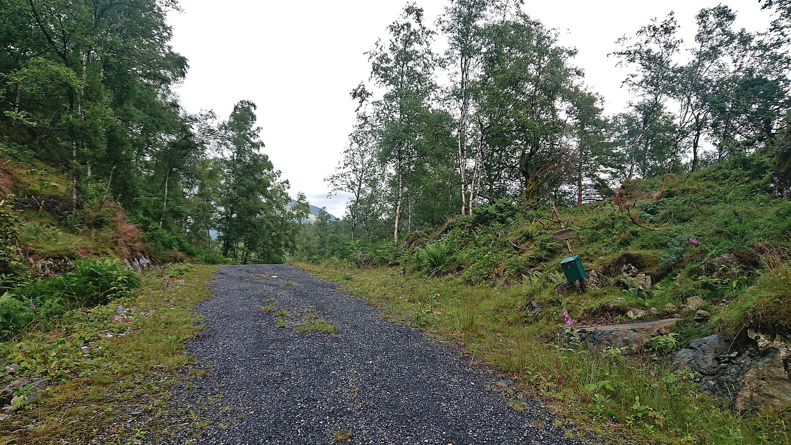
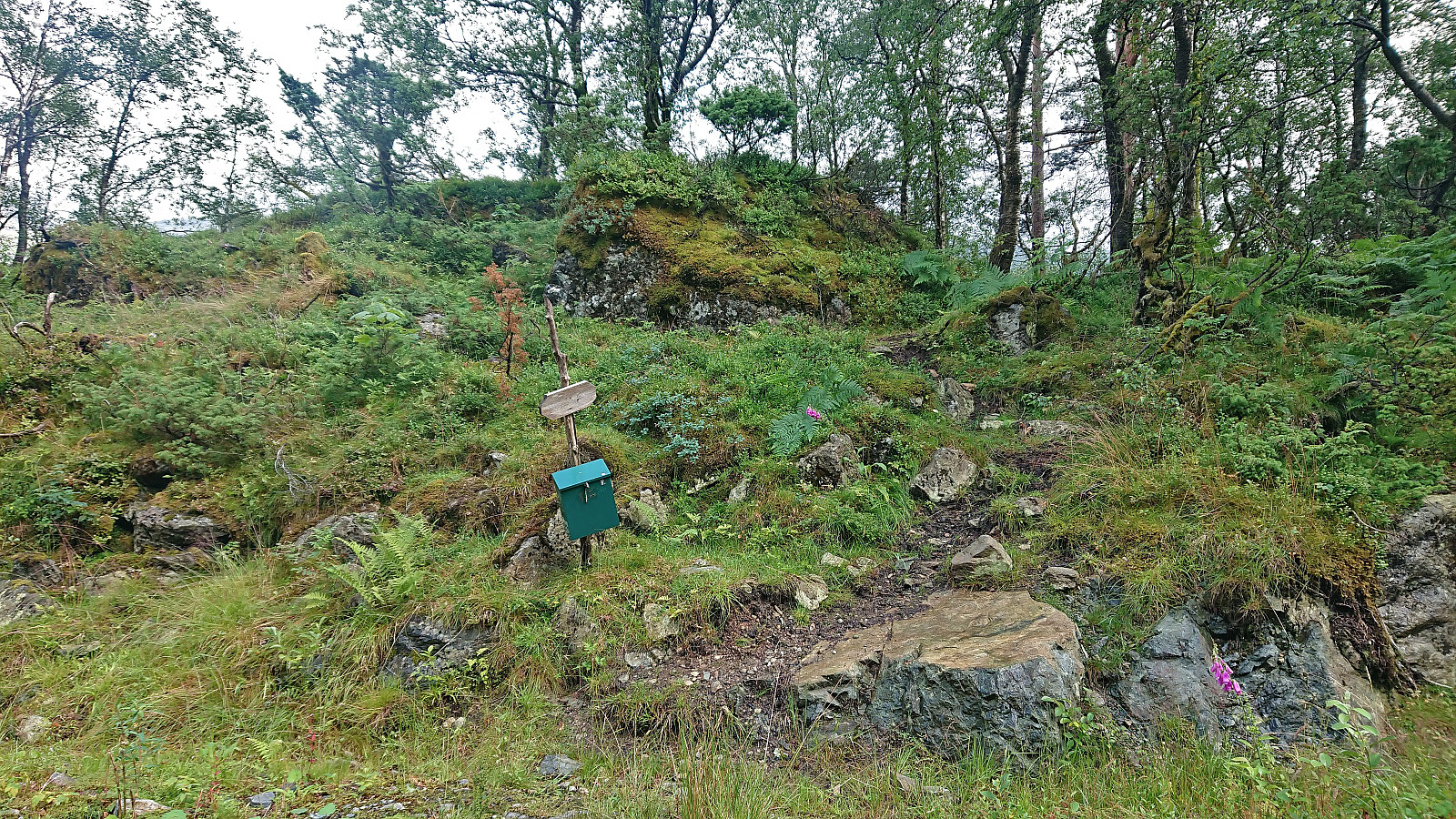
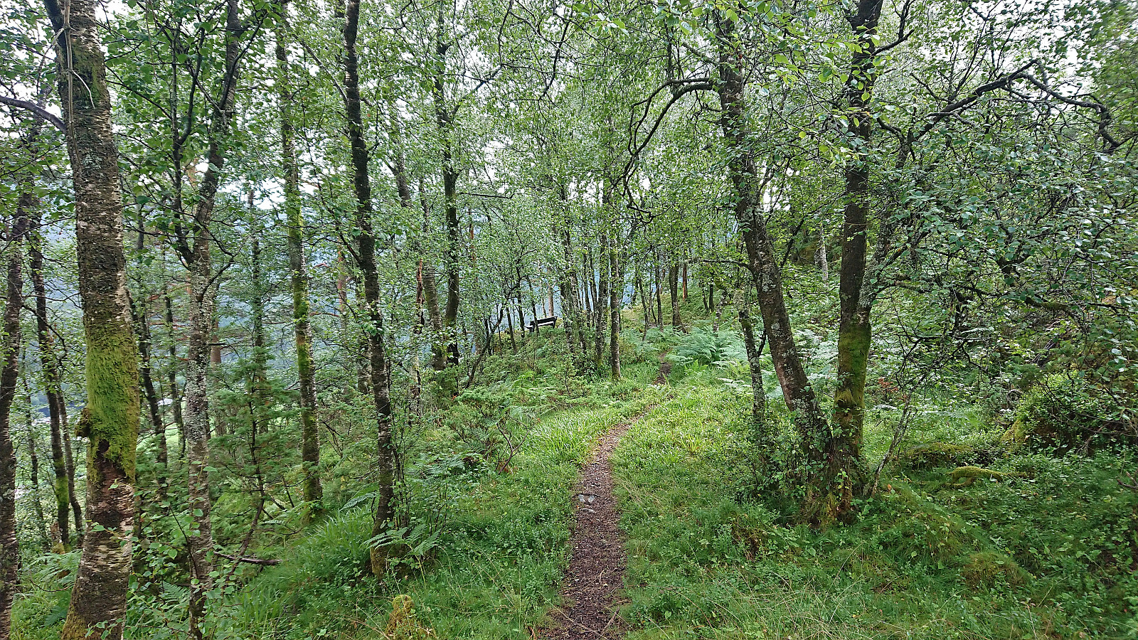
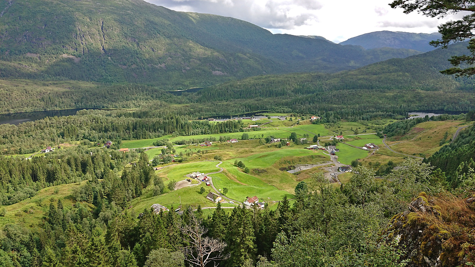
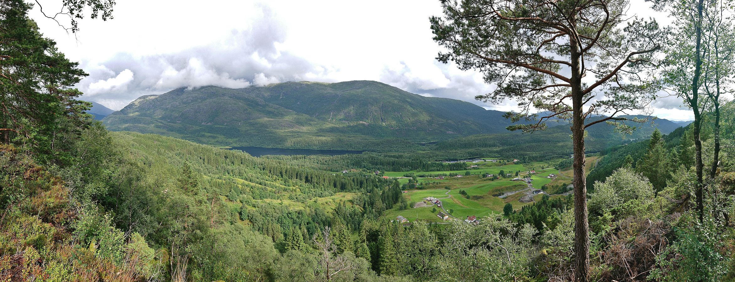
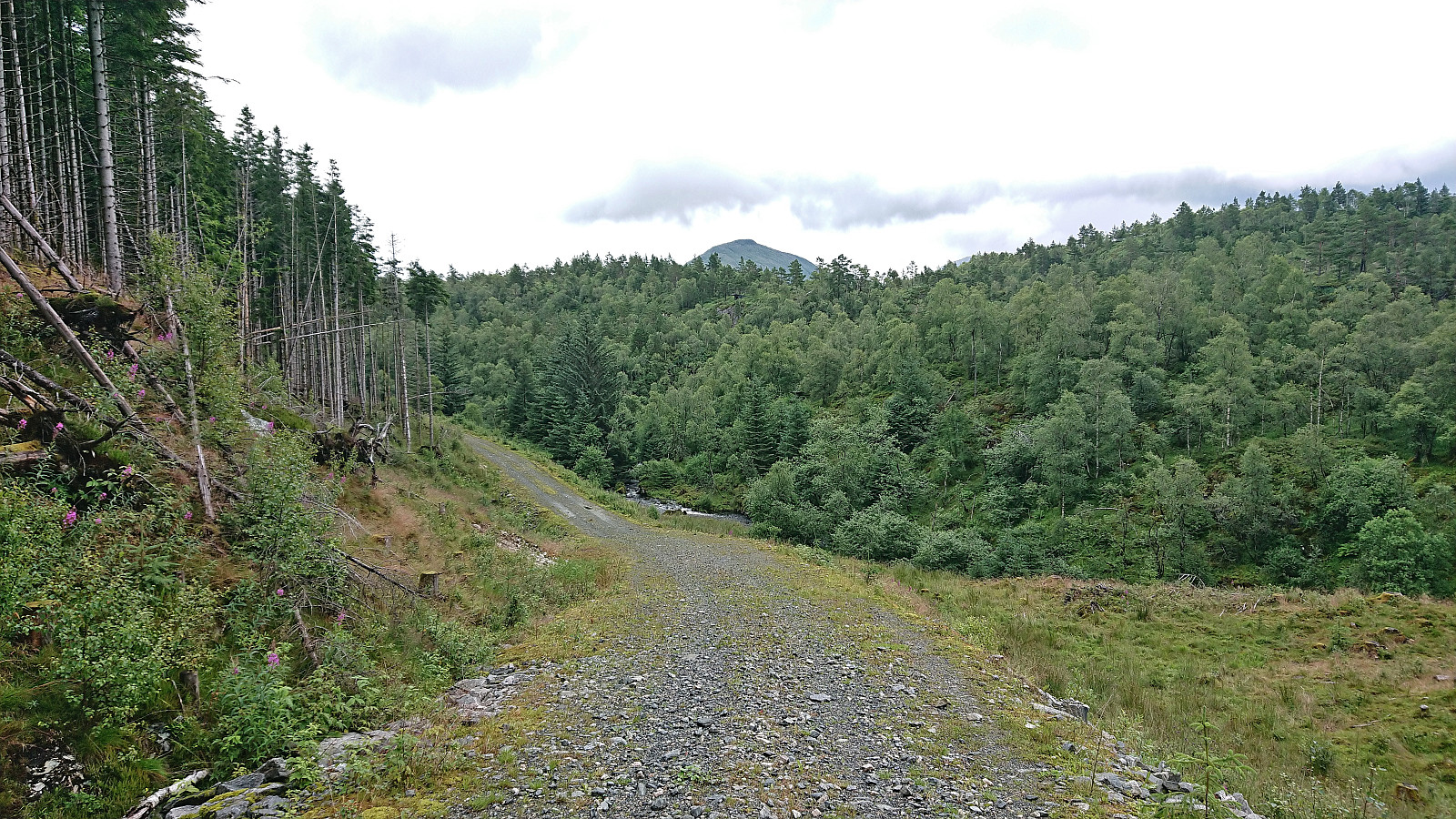
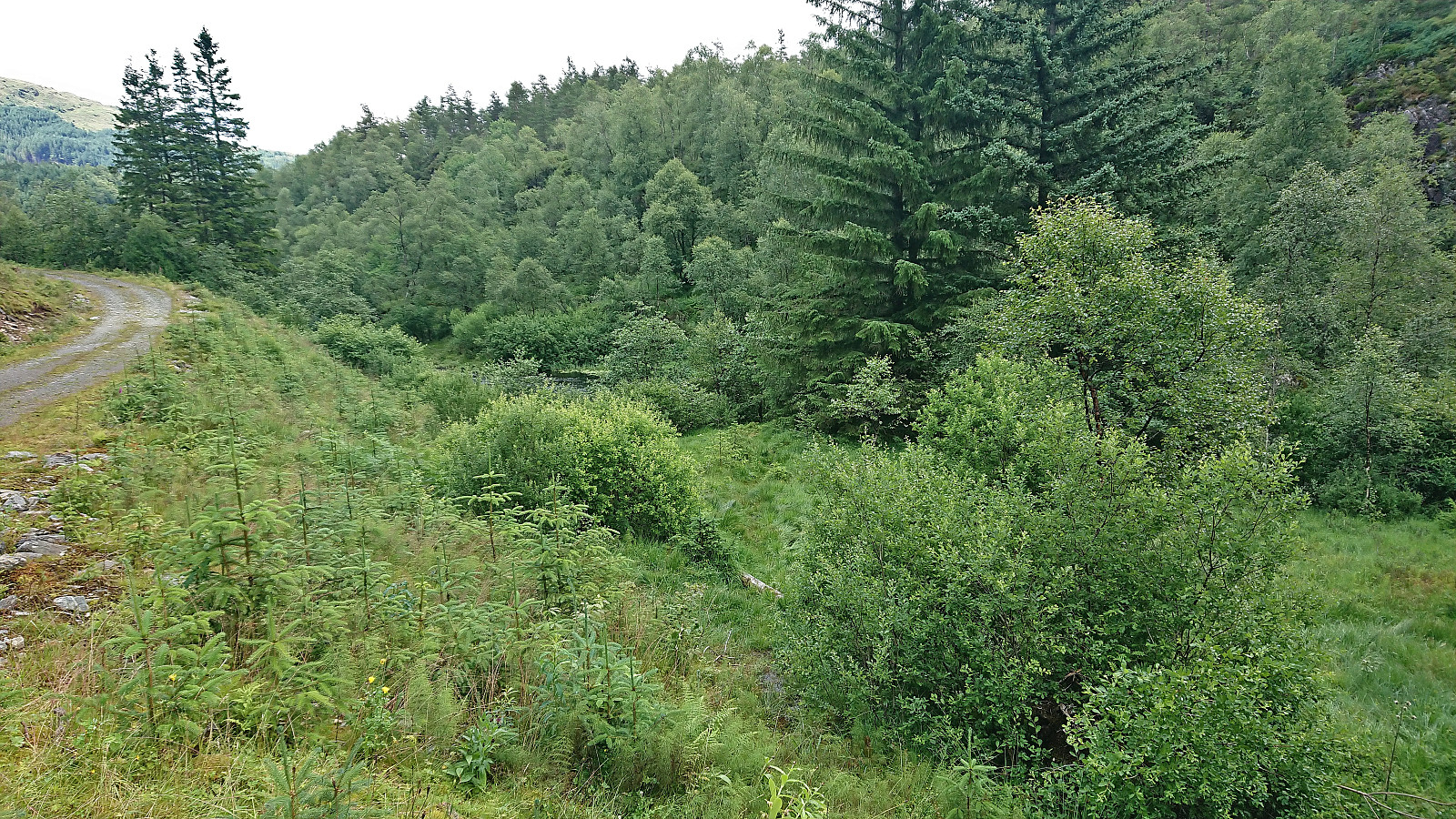
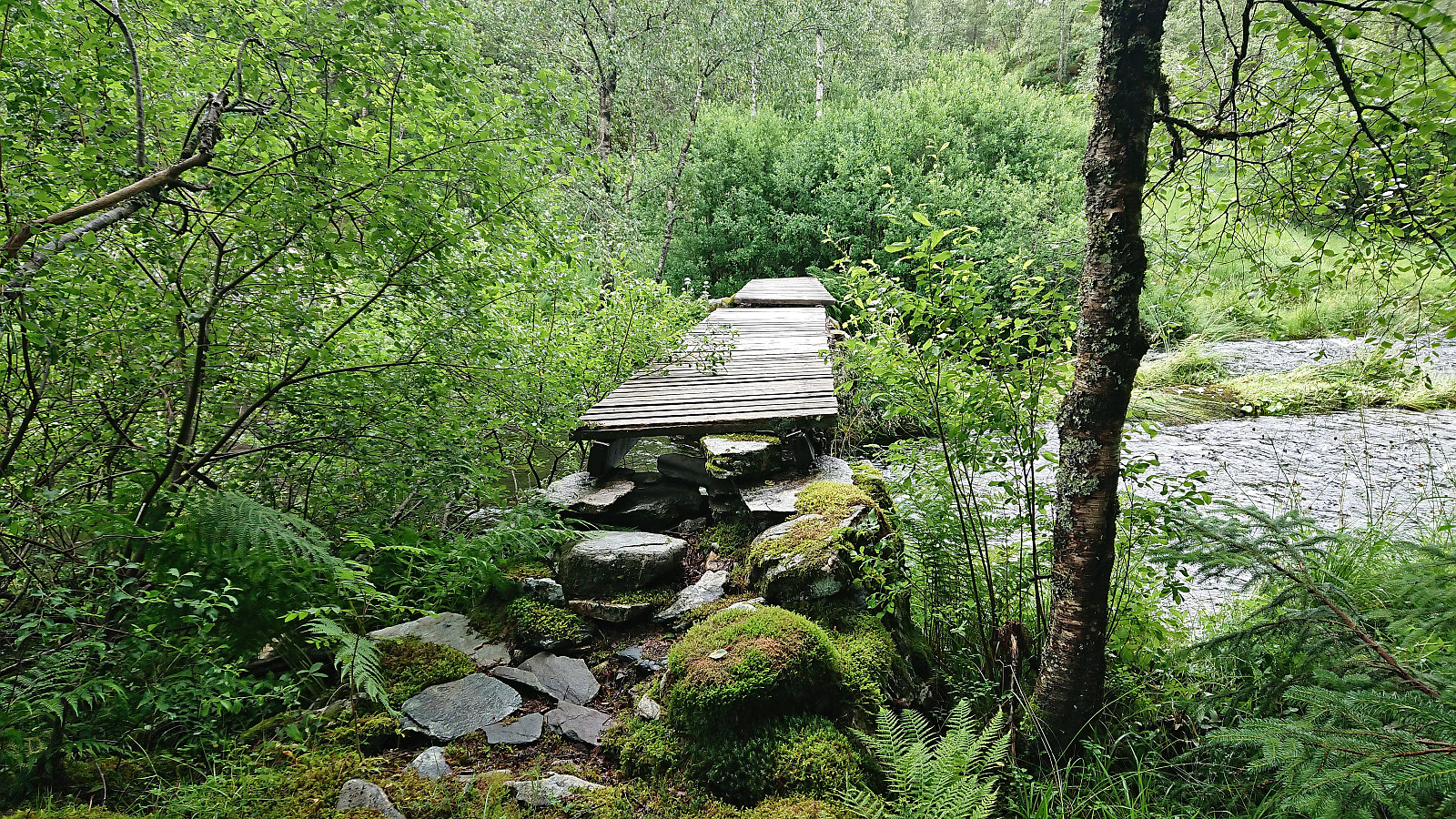
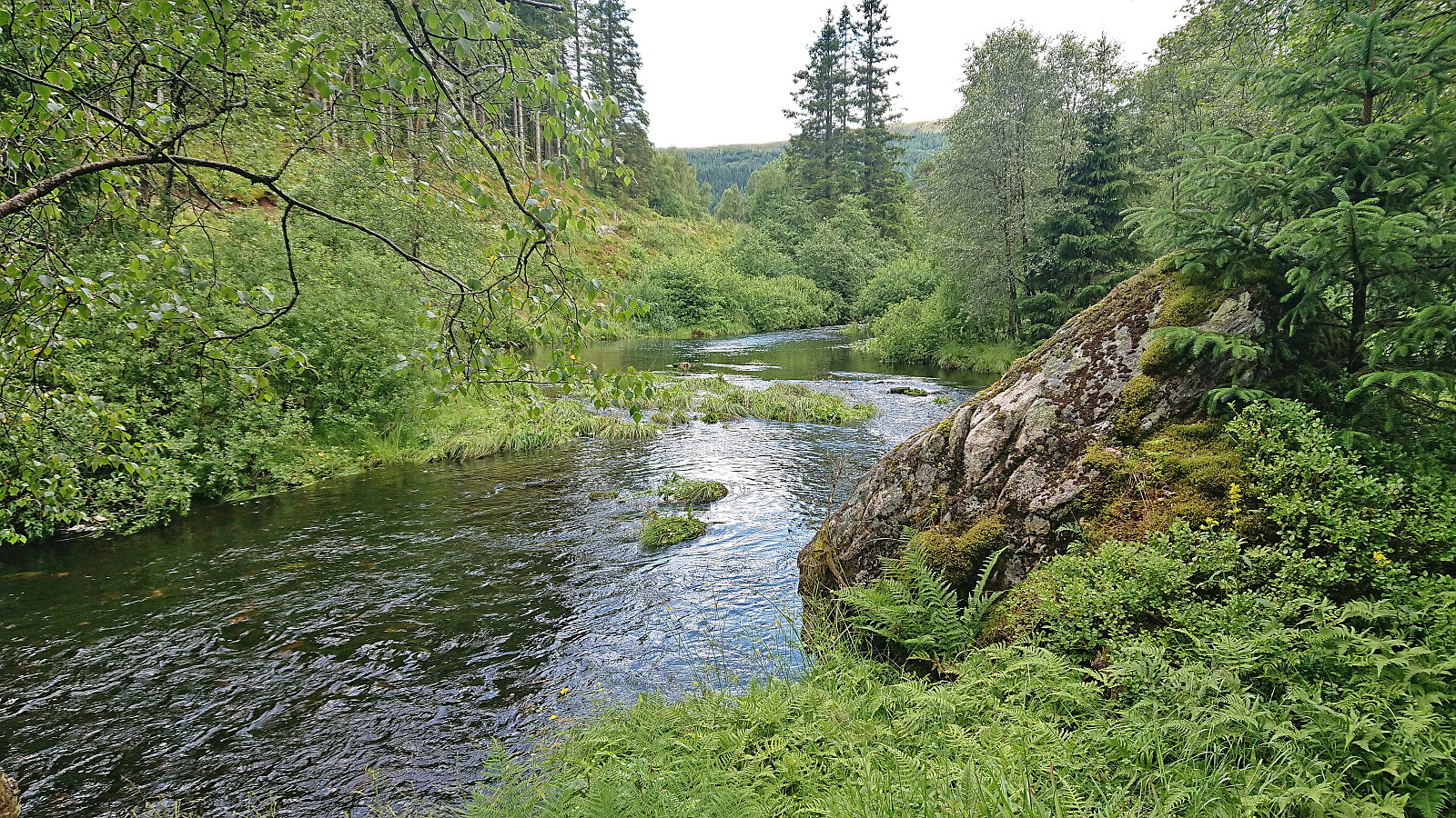
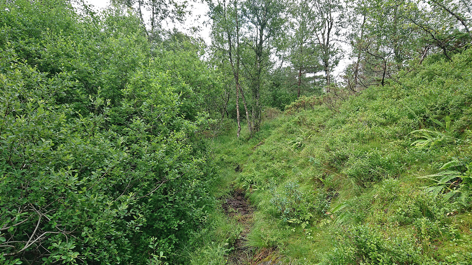
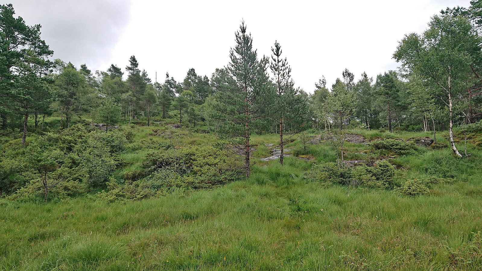
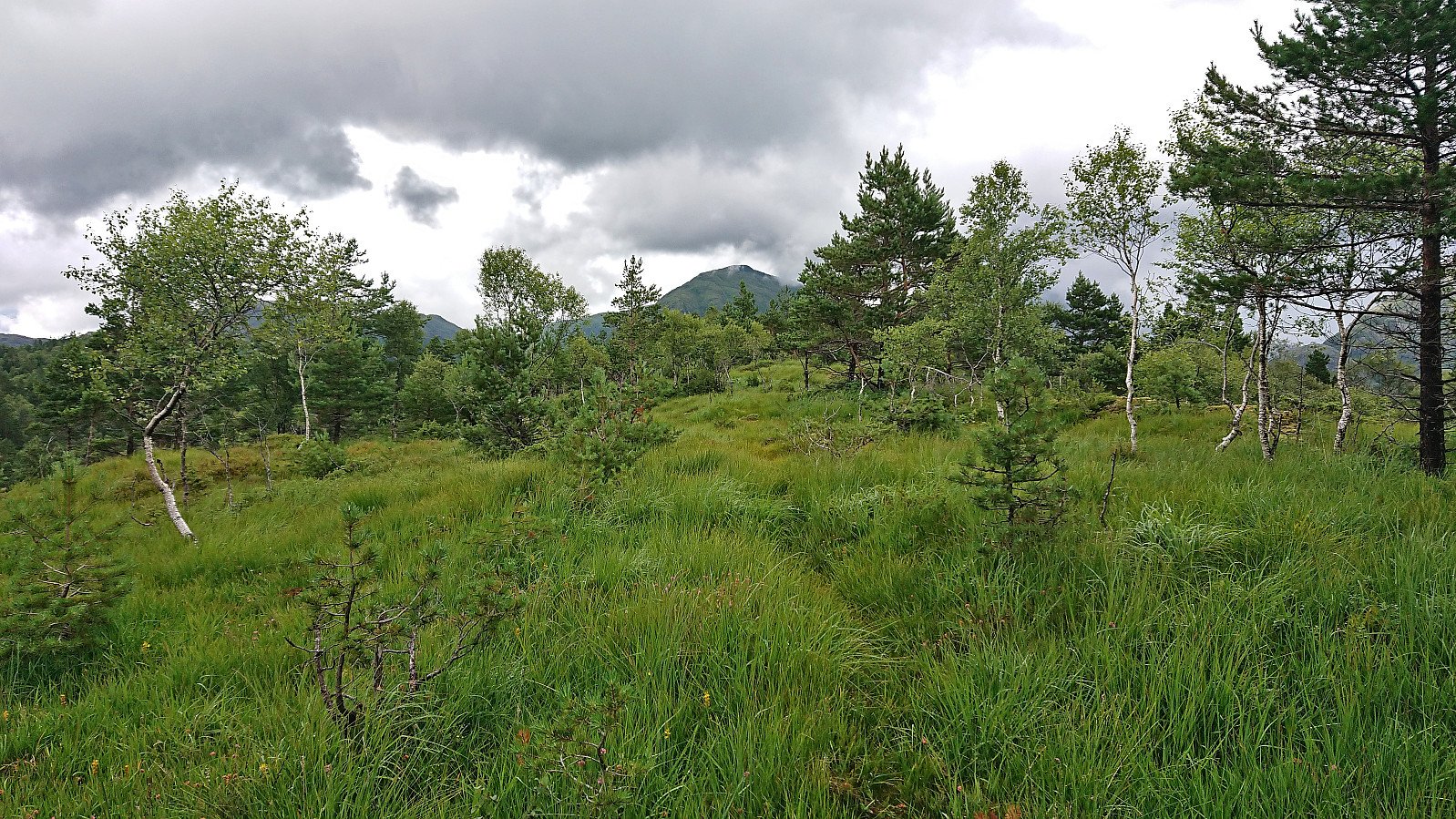
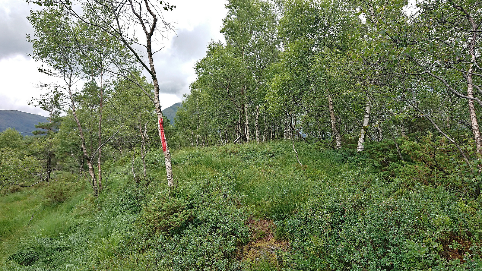
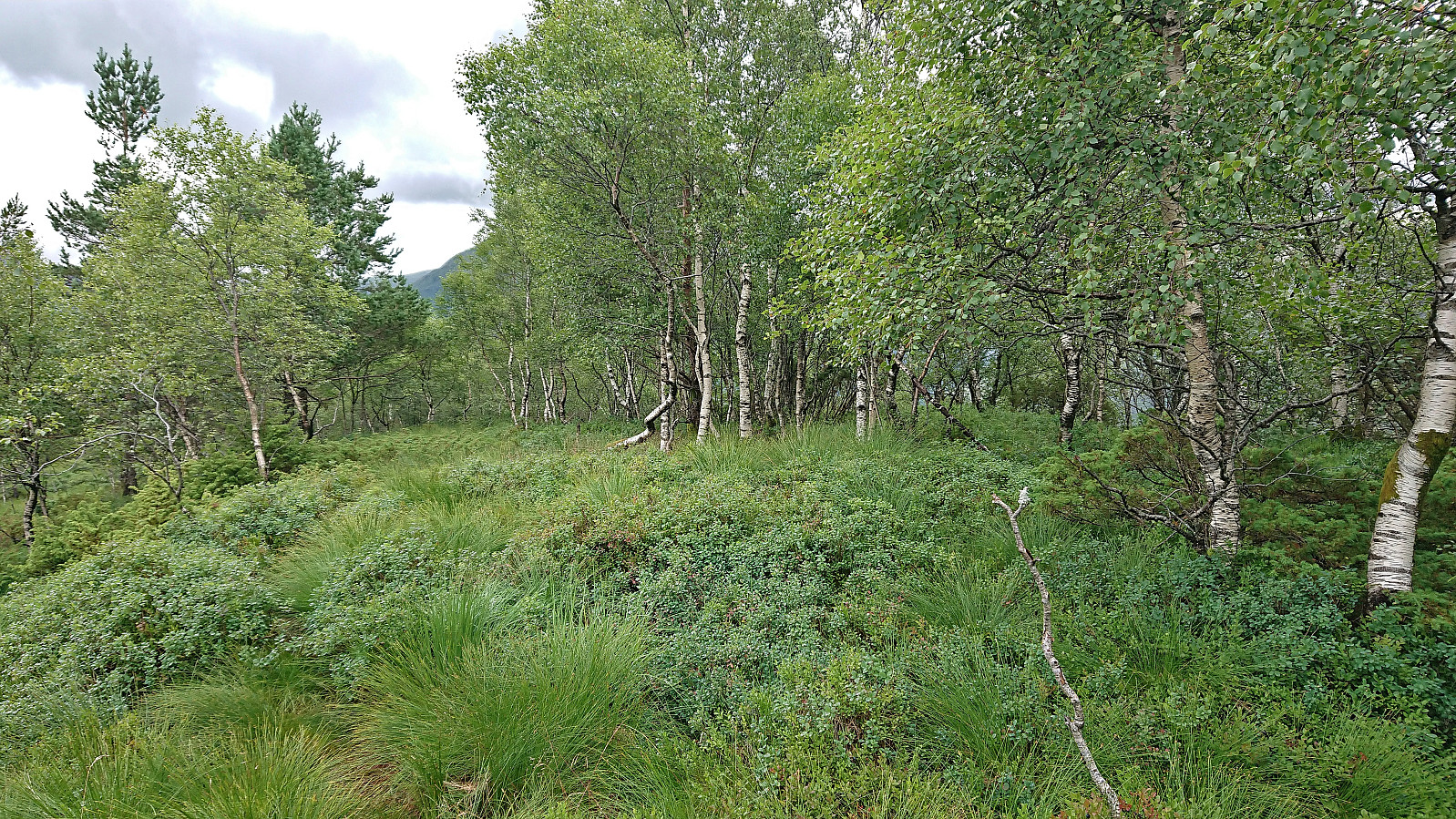
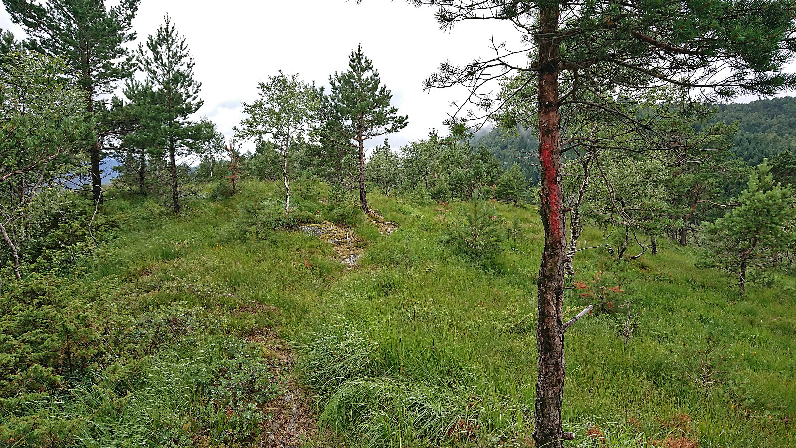
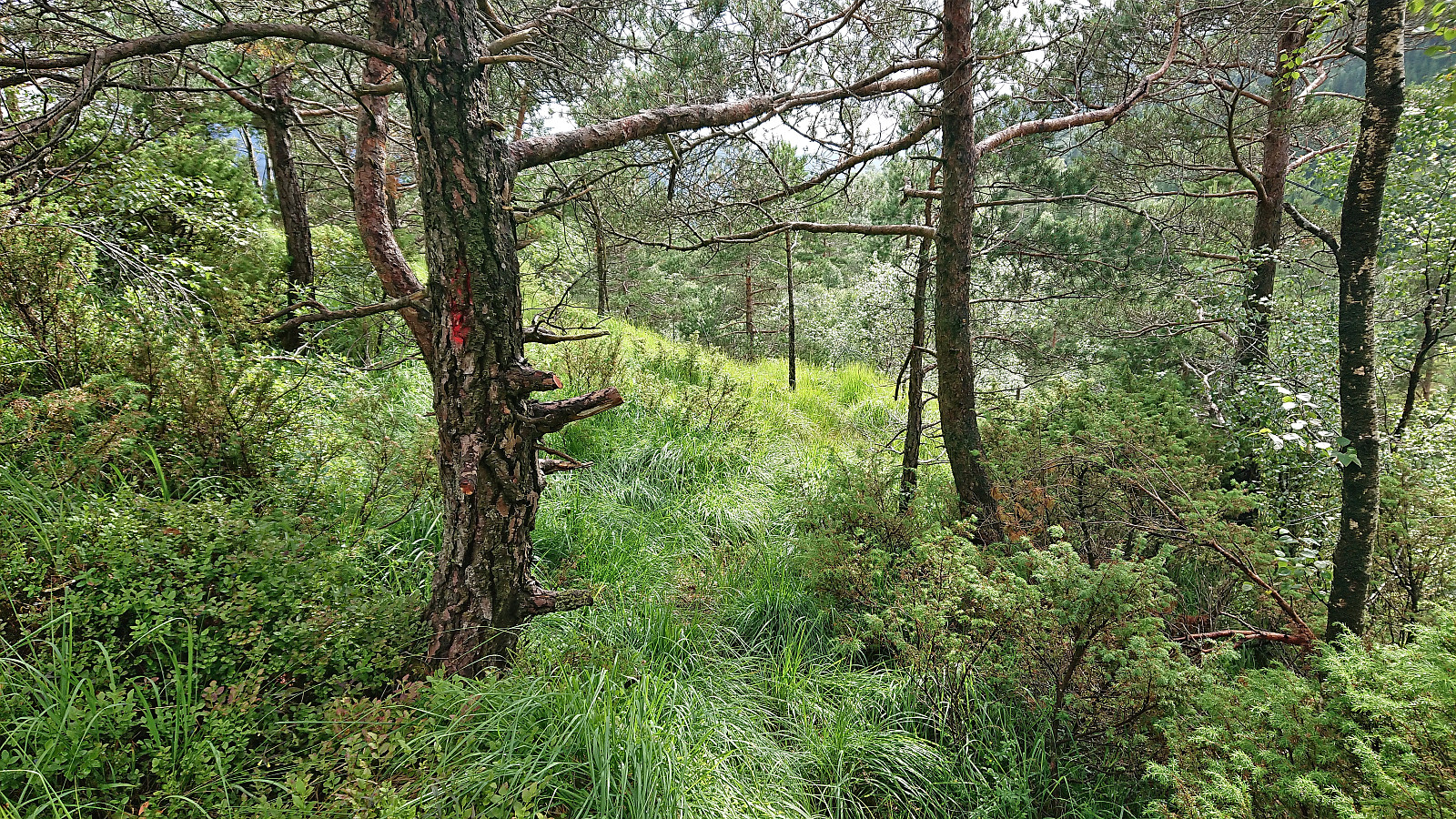
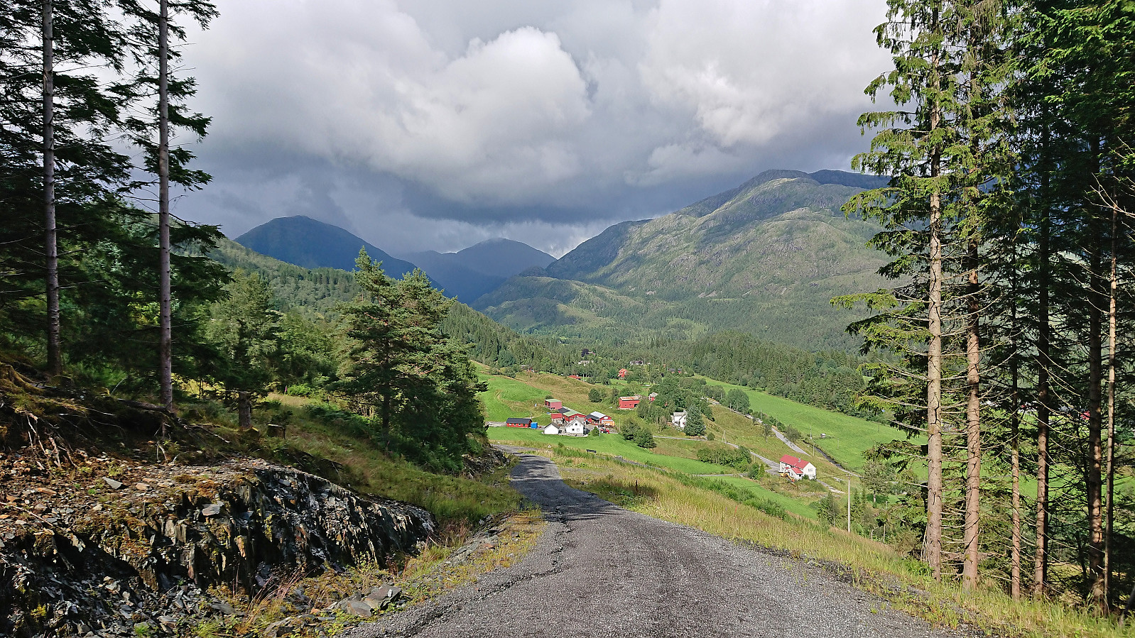
I took the bus to Fjelltveit in Hauglandsdalen and from there followed a relatively new gravel road up towards Stemmedalshaugane, making sure to include a stop at the excellent views at Smogakampen. Before getting to Frotveitvatnet, I left the gravel road and crossed Frotveitelva via a wooden bridge and continued east along a weak and wet trail to the highest point at Stemmedalshaugane. I had originally considered doing a roundtrip similar to Kjell51 (Kjell Øijorden) (see his trip report here), but given the wet conditions I instead returned the same way. Interestingly, at the summit I noticed the first red trail markers, red paint on the tree trunks, and for the descent I was actually able to follow these more or less all the way to the bridge.

| Startzeitpunkt | 21.07.2023 15:02 (UTC+01:00 SZ) |
| Endzeitpunkt | 21.07.2023 17:17 (UTC+01:00 SZ) |
| Gesamtzeit | 2h 15min |
| Zeit in Bewegung | 1h 53min |
| Pausenzeit | 0h 21min |
| Gesamtschnitt | 3,1km/h |
| Bewegungsschnitt | 3,7km/h |
| Entfernung | 7,0km |
| Höhenmeter | 370m |


Benutzerkommentare