Stemmedalshaugane from Fjelltveit (21.07.2023)

Written by hbar (Harald Barsnes) GSM

Start point Fjelltveit (60m)
Endpoint Fjelltveit (60m)
Characteristic Hillwalk
Duration 2h 15min
Distance 7.0km
Vertical meters 370m
GPS
Ascents Stemmedalshaugane (319m) 21.07.2023
Visits of other PBEs Frotveitelva bro (263m) 21.07.2023
Smogakampen (275m) 21.07.2023
Søylen på Stemmedalshaugane (317m) 21.07.2023

Stemmedalshaugane from Fjelltveit

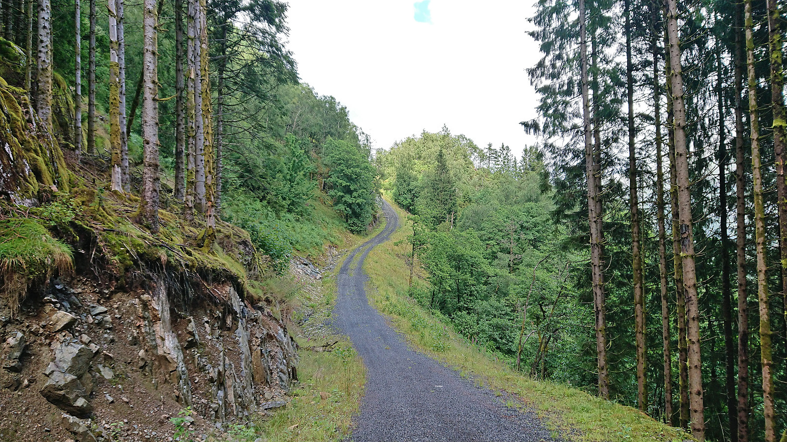
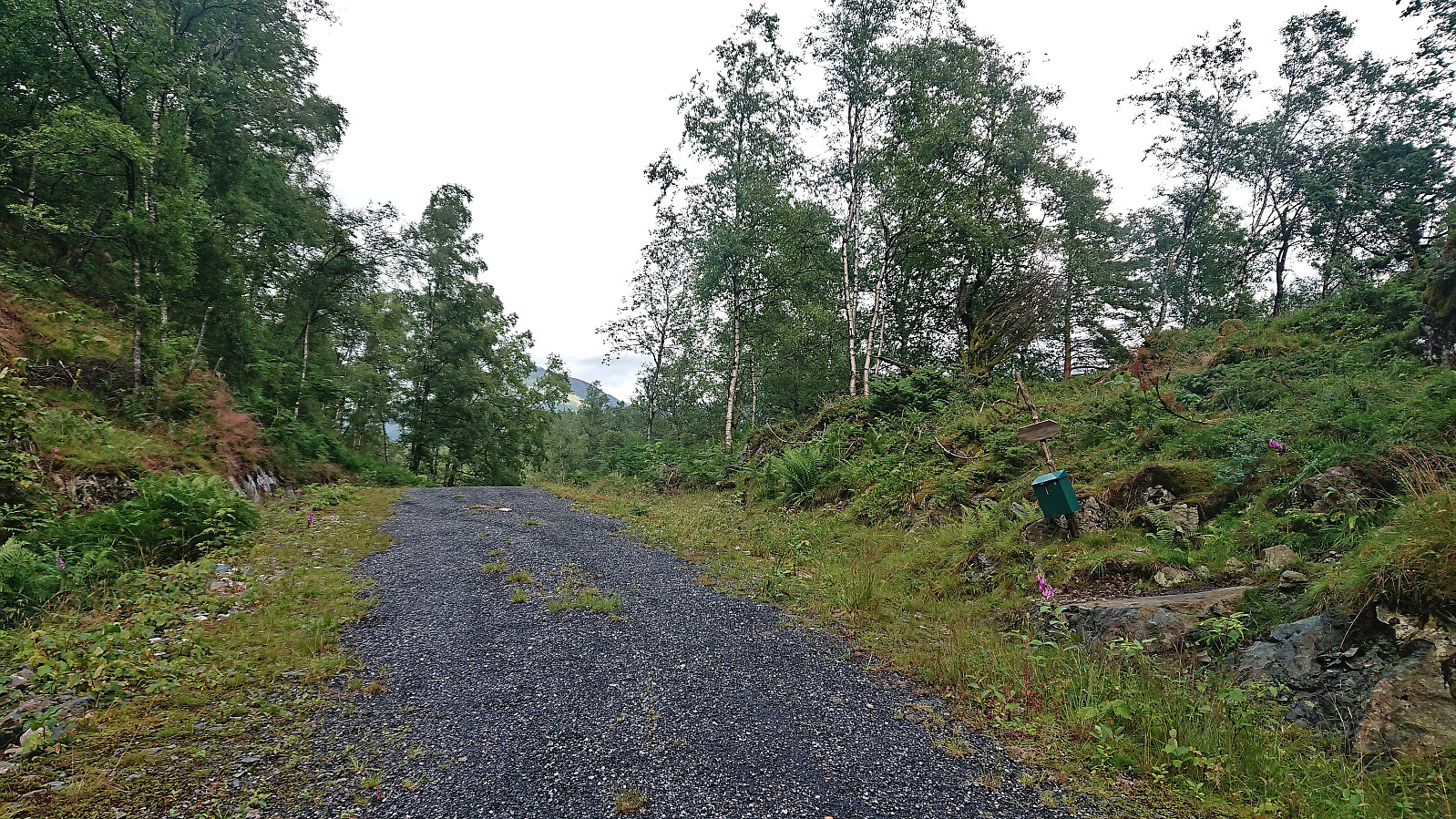
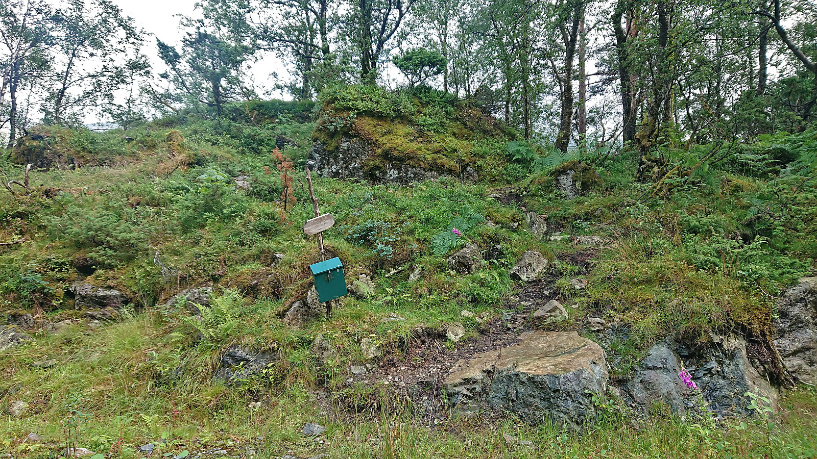
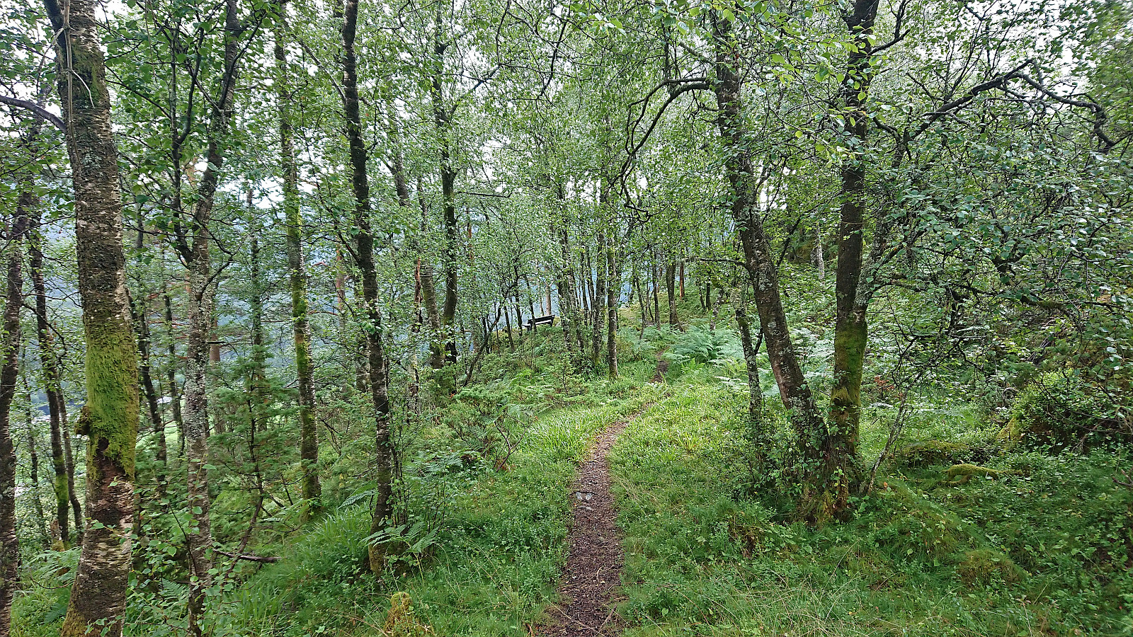
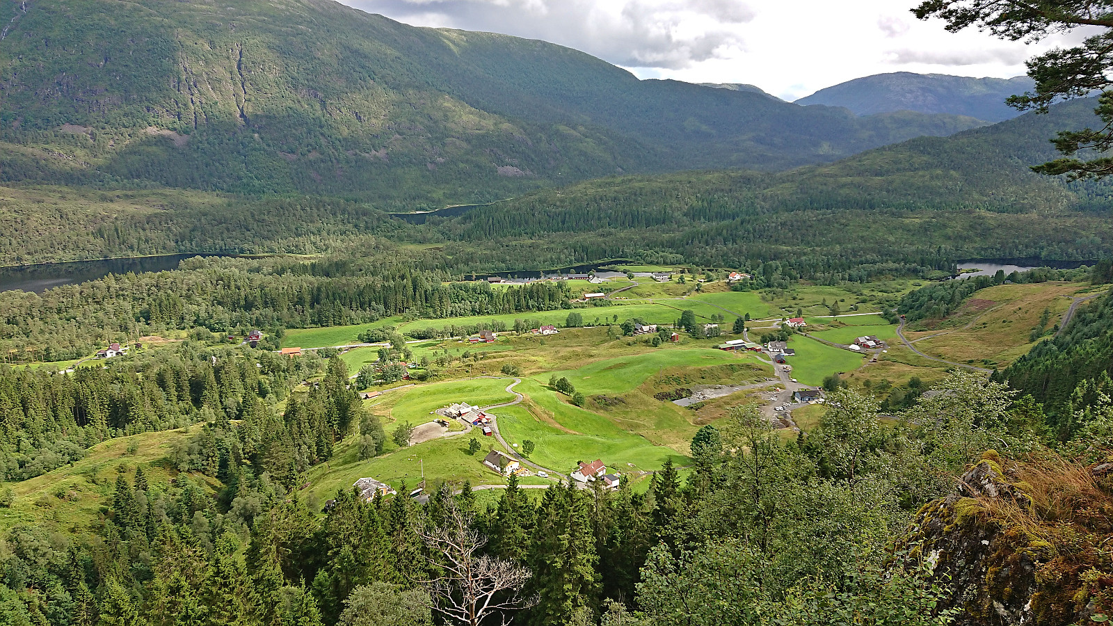
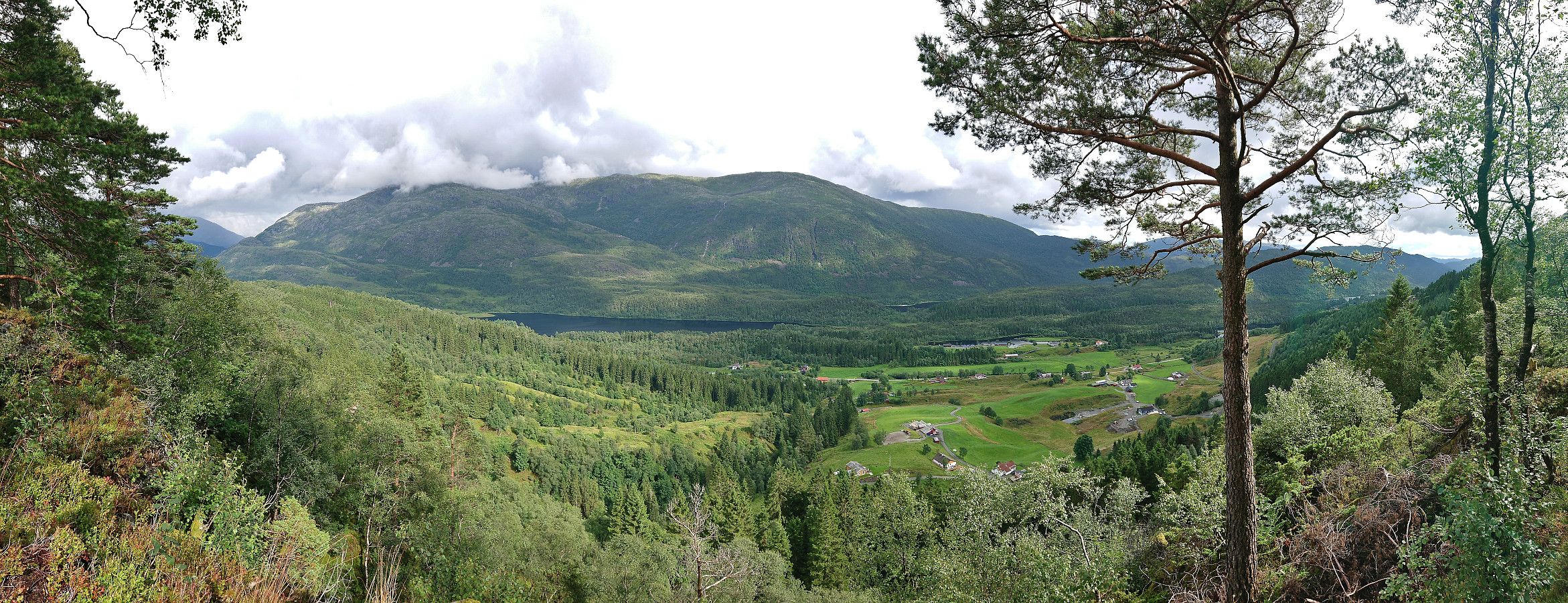
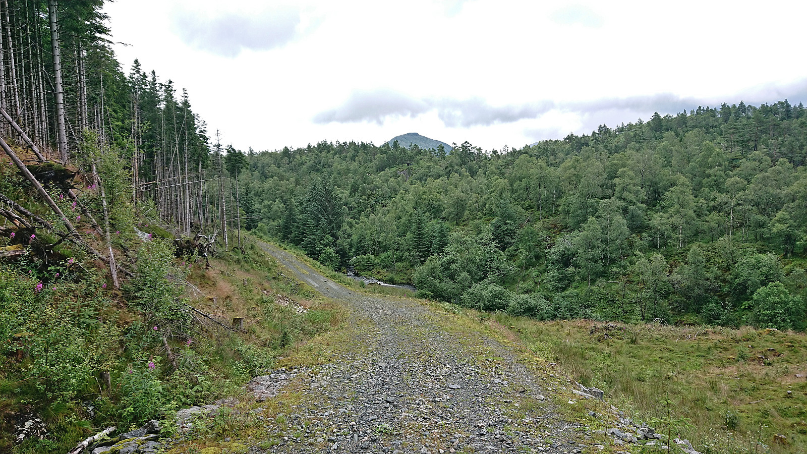
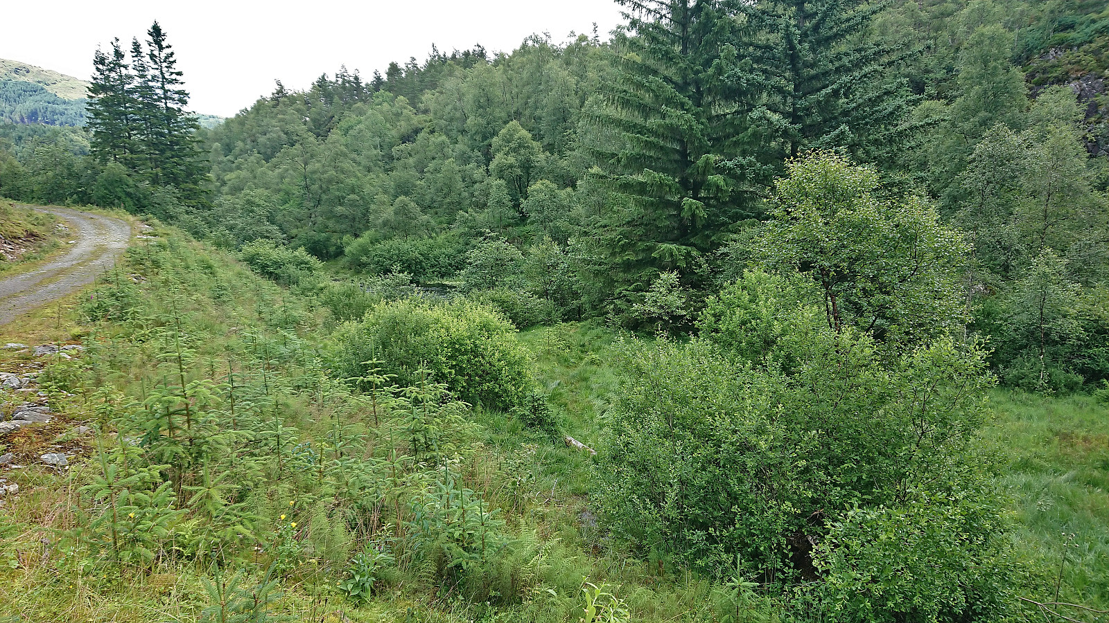
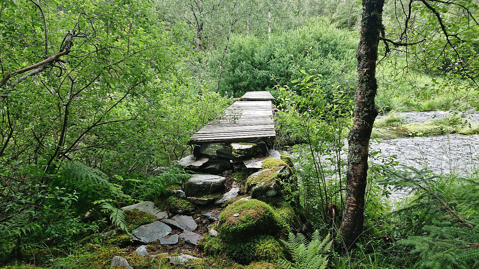
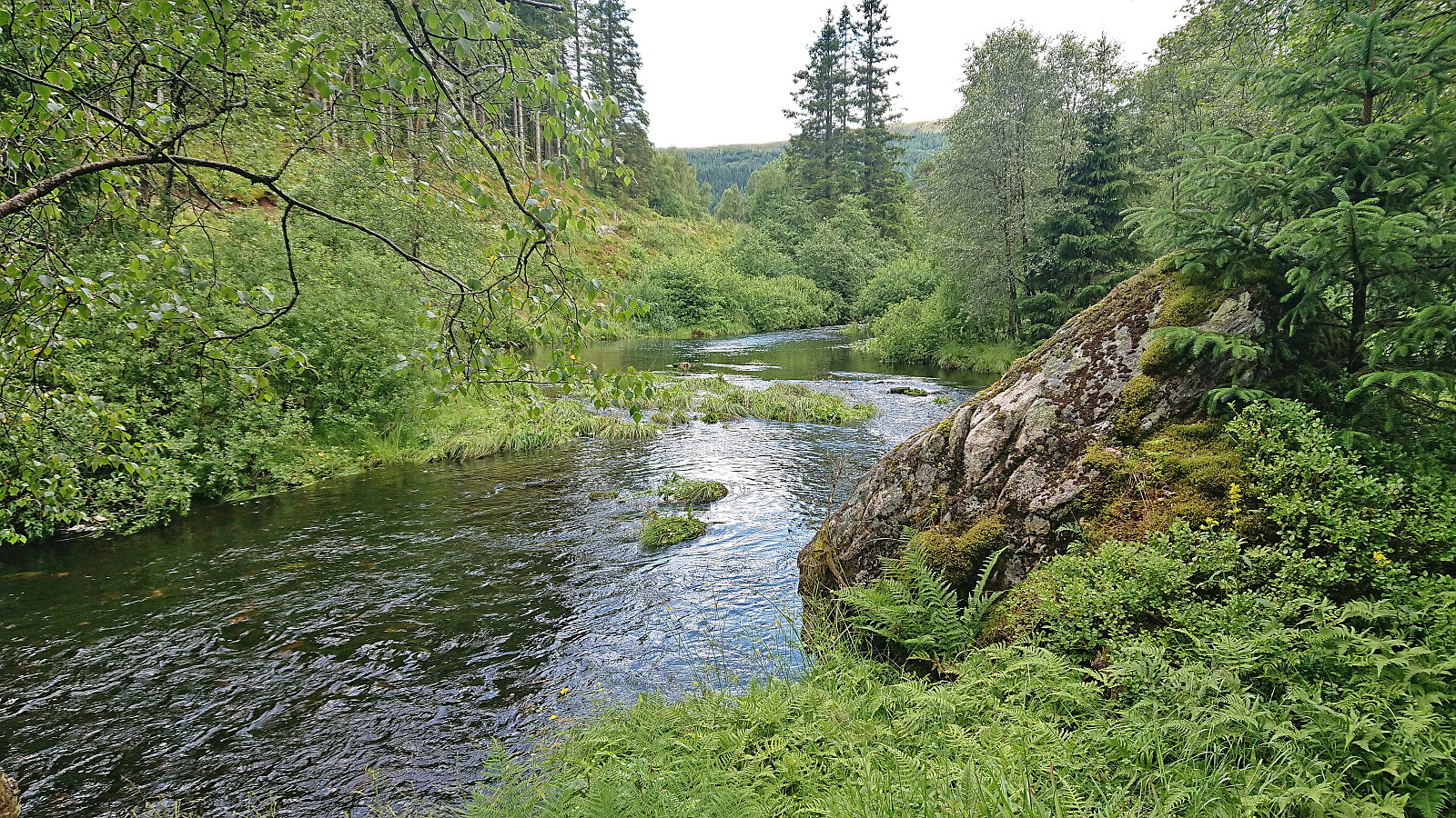
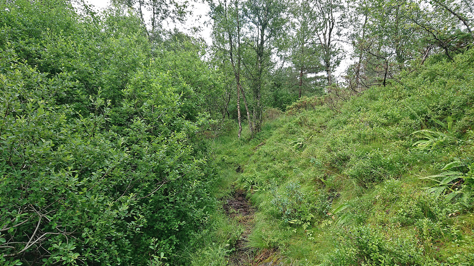
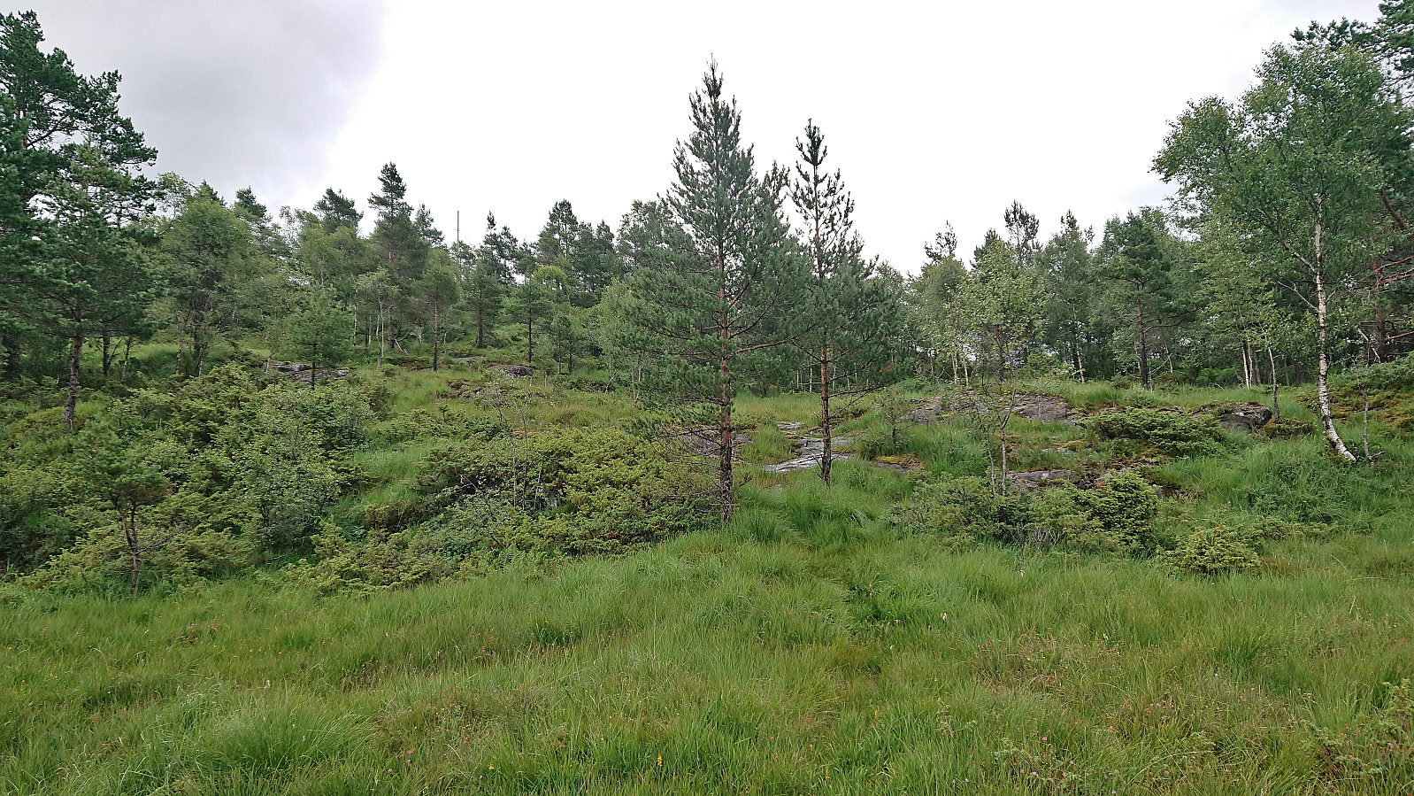
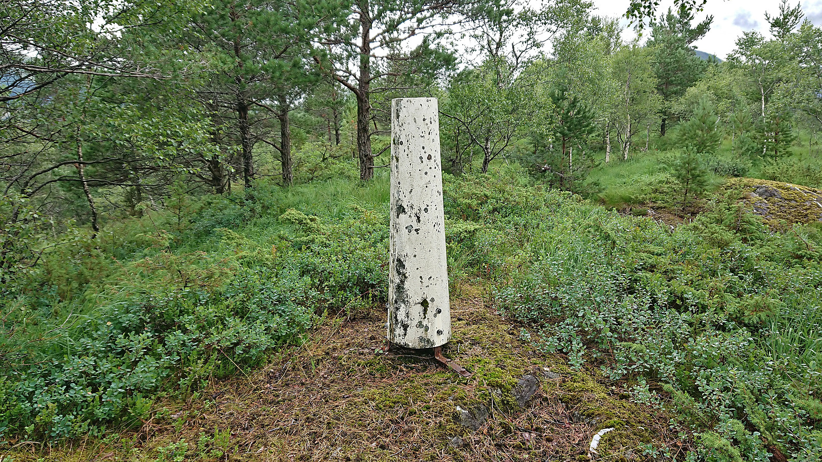
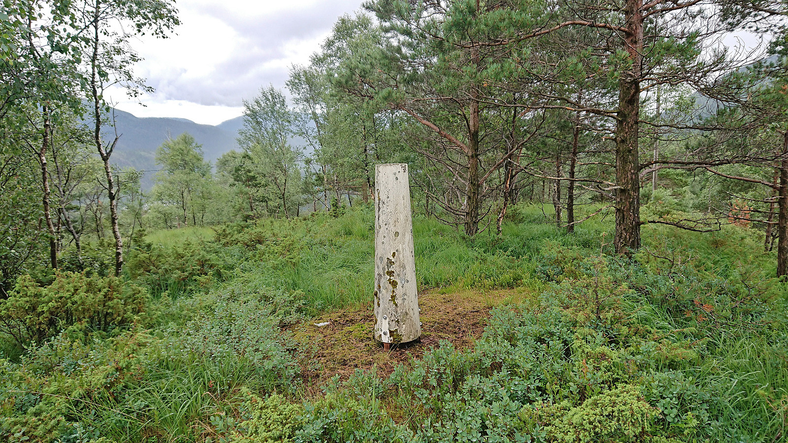
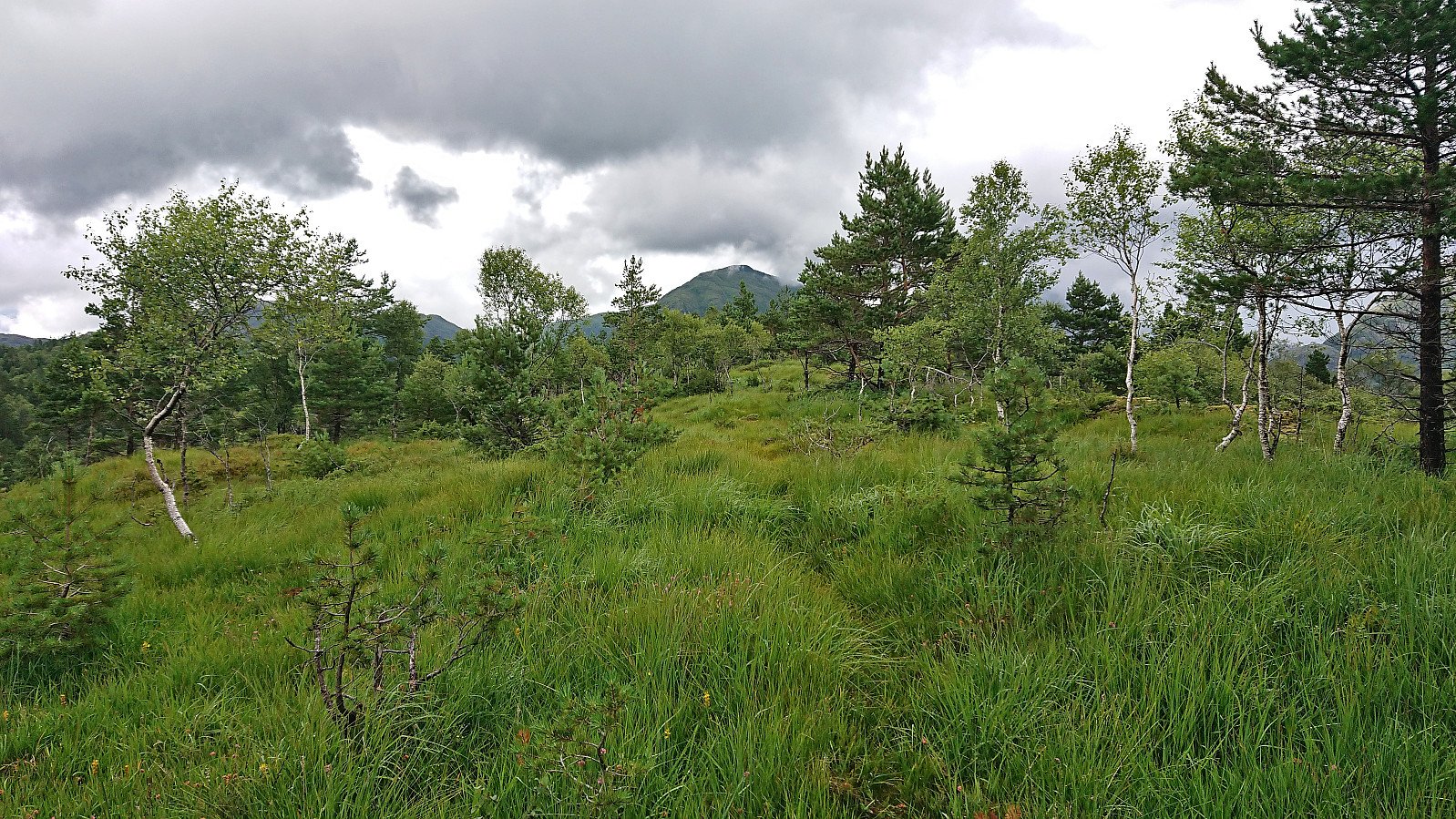
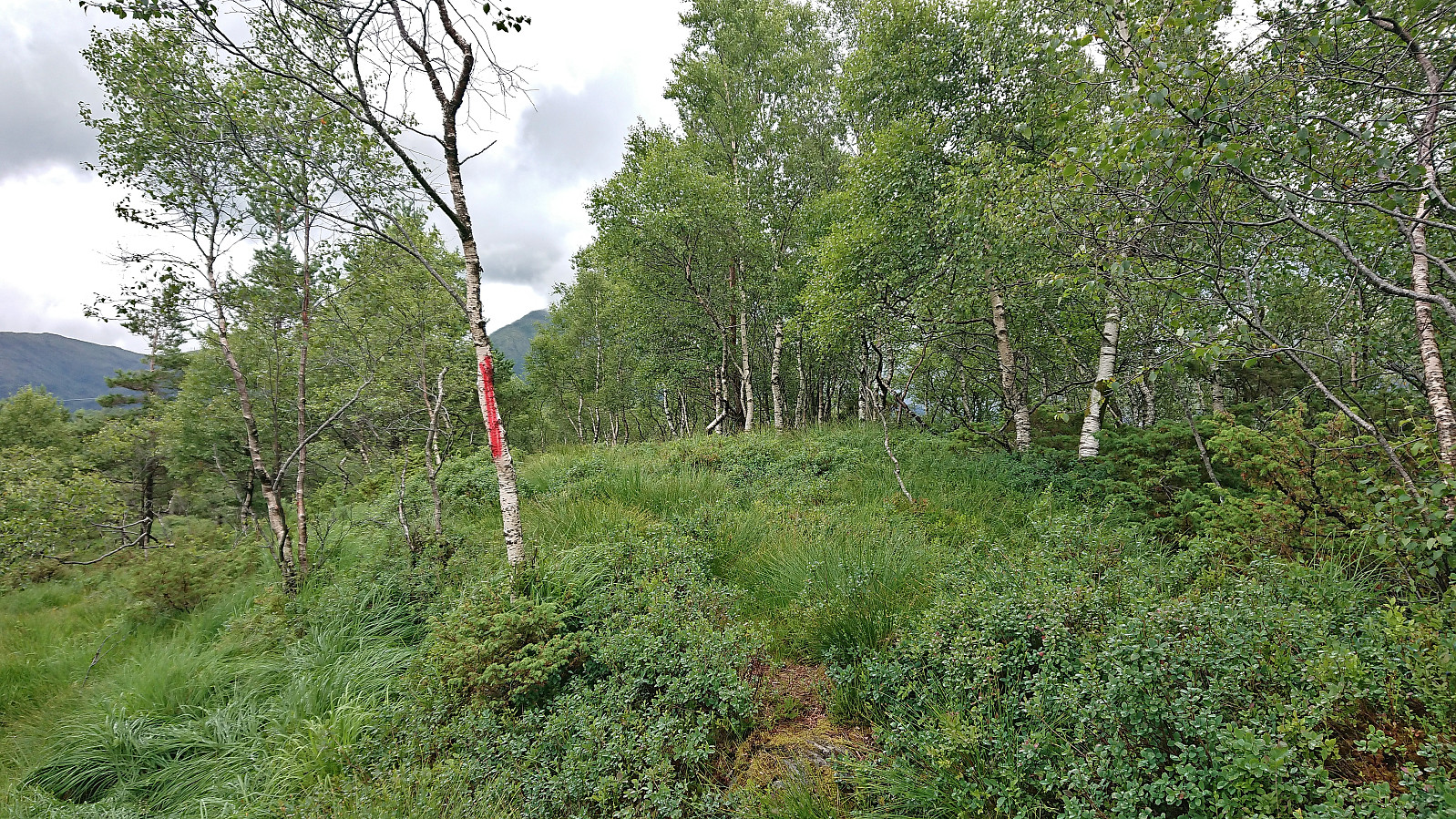
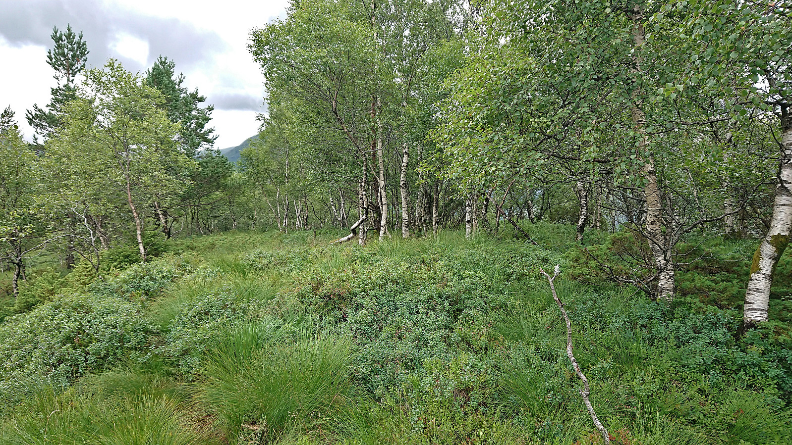
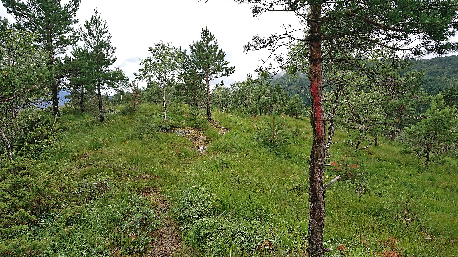
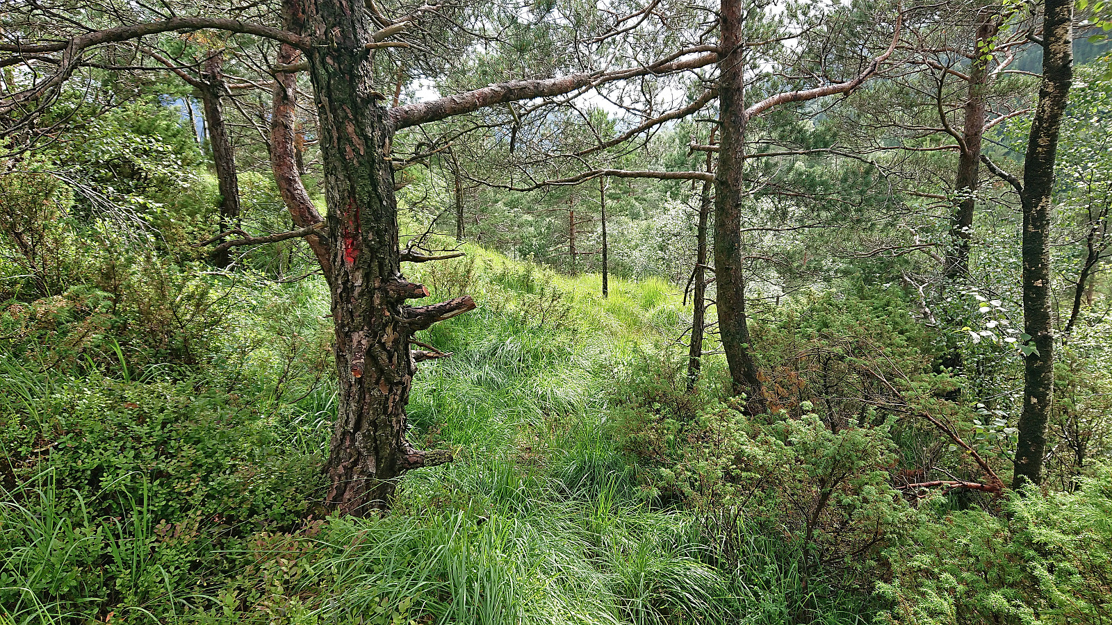
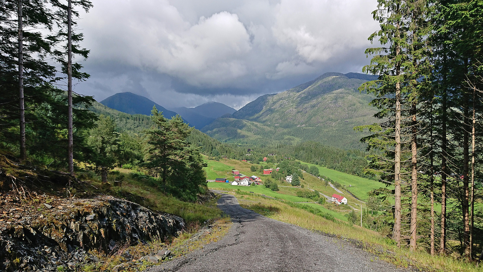
I took the bus to Fjelltveit in Hauglandsdalen and from there followed a relatively new gravel road up towards Stemmedalshaugane, making sure to include a stop at the excellent views at Smogakampen. Before getting to Frotveitvatnet, I left the gravel road and crossed Frotveitelva via a wooden bridge and continued east along a weak and wet trail to the highest point at Stemmedalshaugane. I had originally considered doing a roundtrip similar to Kjell51 (Kjell Øijorden) (see his trip report here), but given the wet conditions I instead returned the same way. Interestingly, at the summit I noticed the first red trail markers, red paint on the tree trunks, and for the descent I was actually able to follow these more or less all the way to the bridge.


The start of the gravel road
Approaching Smogakampen
Trail to Smogakampen
Fjelltveit from Smogakampen (taken during the descent)
View from Smogakampen with Sveningen in the background (taken during the descent)
Approaching Stemmedalshaugane with Hausdalshorga in the background
The weak and wet trail to the highest point at Stemmedalshaugane
Bridge across Frotveitelva
North from the bridge
Trail to Stemmedalshaugane
Weak trail to Stemmedalshaugane
The trig marker at Stemmedalshaugane
North along the ridge at Stemmedalshaugane with Hausdalshorga in the background
The highest point at Stemmedalshaugane
Trail markers noticed on the descent
More trail markers
More trail markers
Returning to Fjelltveit. Background: Hausdalshorga, Søre Gullfjelltoppen and Sveningen.

Start date 21.07.2023 15:02
(UTC+01:00 DST)
End date 21.07.2023 17:17
(UTC+01:00 DST)
Total Time 2h 15min
Moving Time 1h 53min
Stopped Time 0h 21min
Overall Average 3.1km/h
Moving Average 3.7km/h
Distance 7.0km
Vertical meters 370m

User comments

Comment title:
Characters left: 1000
Comment text:
You need to be logged in to write comments.