
Såta and Bjørgaknausen from Moseheia (04.09.2022)

Written by hbar (Harald Barsnes)

| Start point | Moseheia (554m) |
|---|---|
| Endpoint | Moseheia (554m) |
| Characteristic | Hillwalk |
| Duration | 2h 52min |
| Distance | 10.2km |
| Vertical meters | 550m |
| GPS |
|
| Ascents | Såta (890m) | 04.09.2022 |
|---|---|---|
| Visits of other PBEs | Bjørgaknausen (850m) | 04.09.2022 |
Såta and Bjørgaknausen from Moseheia
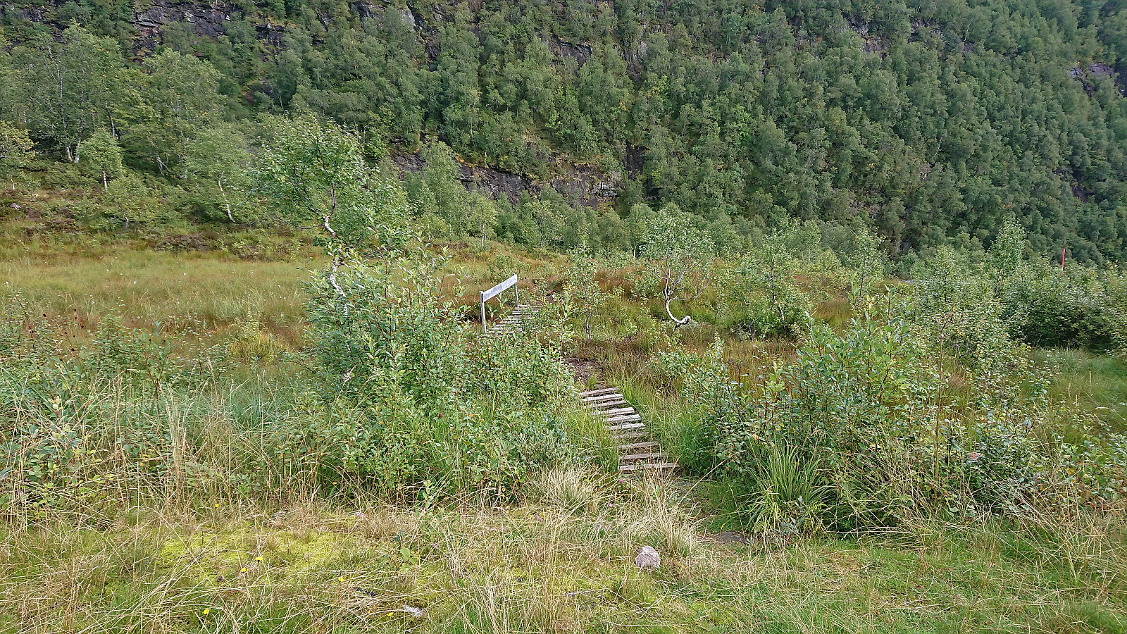


After visiting Borninolten (plus Gråfjellet for Fjellsamleren (Endre Myrdal Olsen)), we drove the short distance to Moseheia where we parked at an unmarked trailhead after first passing through a gate. Unlike the earlier gate at Skarvastølsvegen, this gate did not say anything about limited access, but the parking lot itself was intended for the cabin owners only. There was however plenty of free spaces and we therefore took the chance to leave the car there for our short hike to Såta.
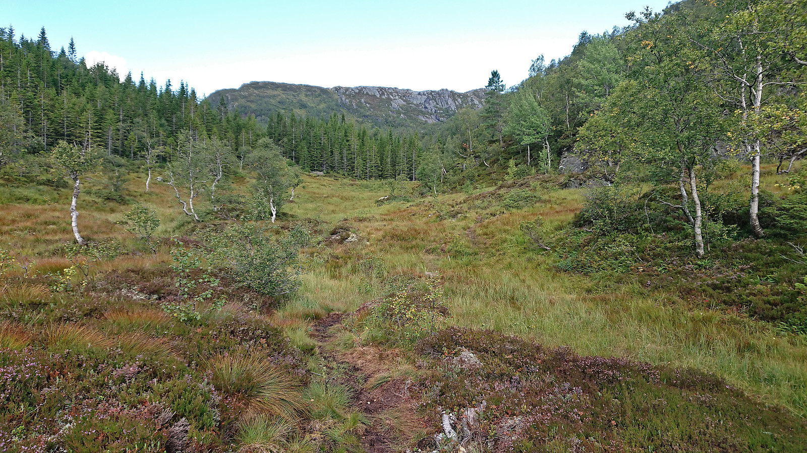
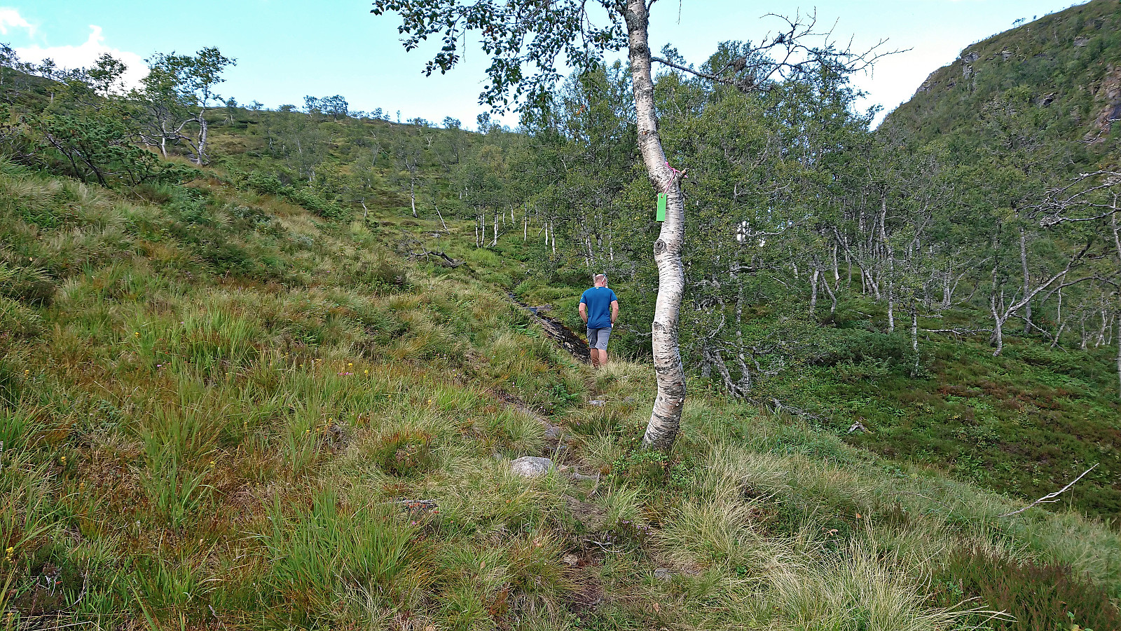
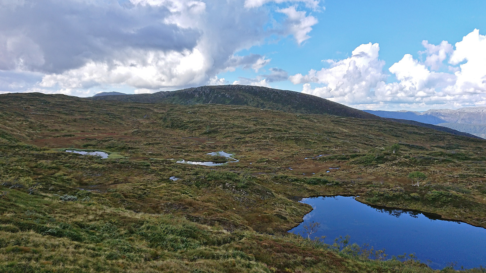
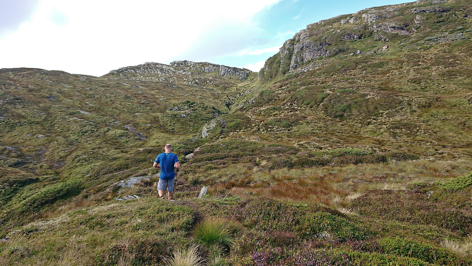
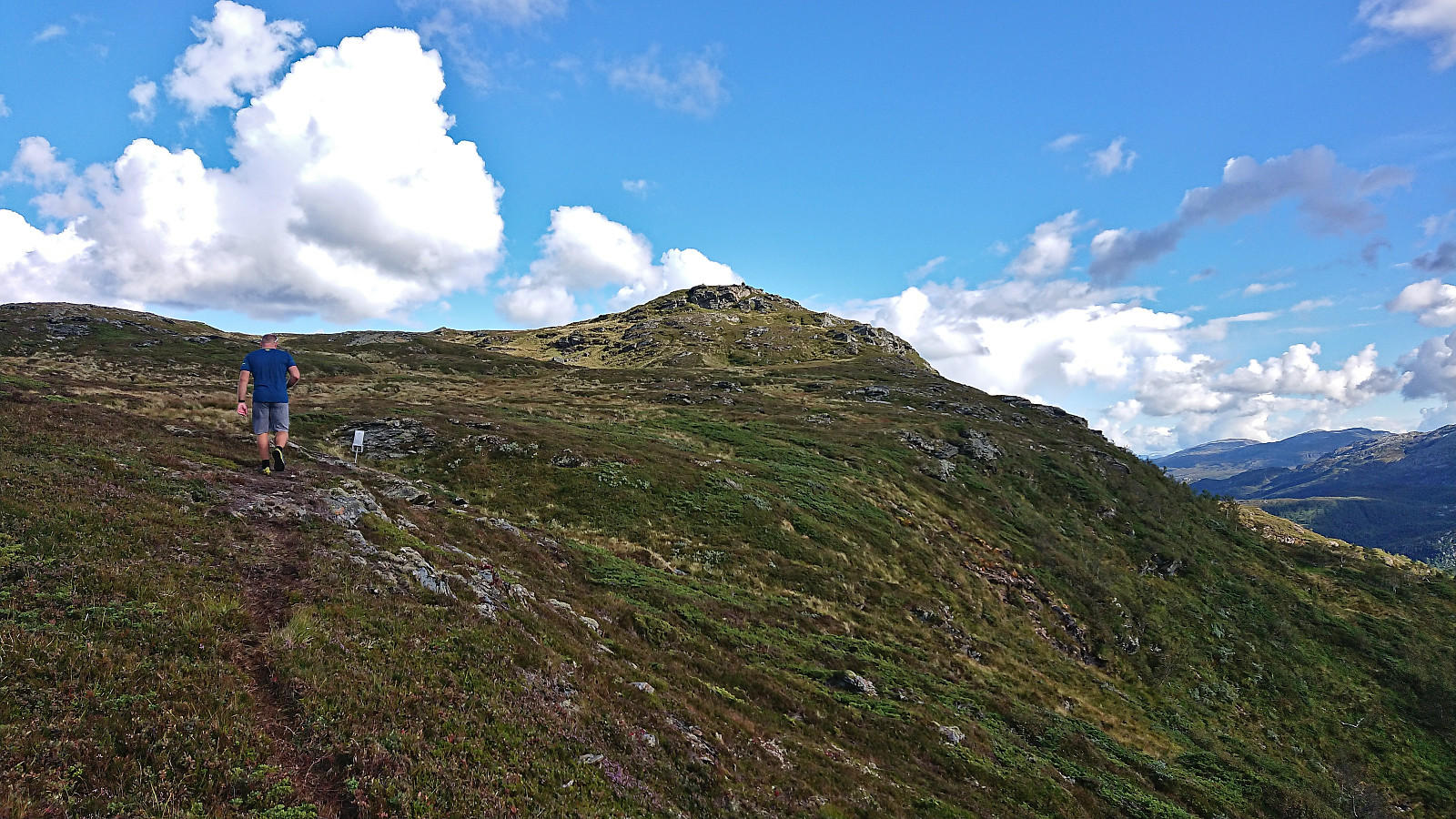
While the trailhead was unmarked, we would soon come across colored trail markers and the trail was, at least initially, of good quality. The trail forked twice and each time we continued on the option heading up Bergsskaret. But when the trail turned weaker and started descending, we instead simply headed off-trail across Brunane towards Såta.
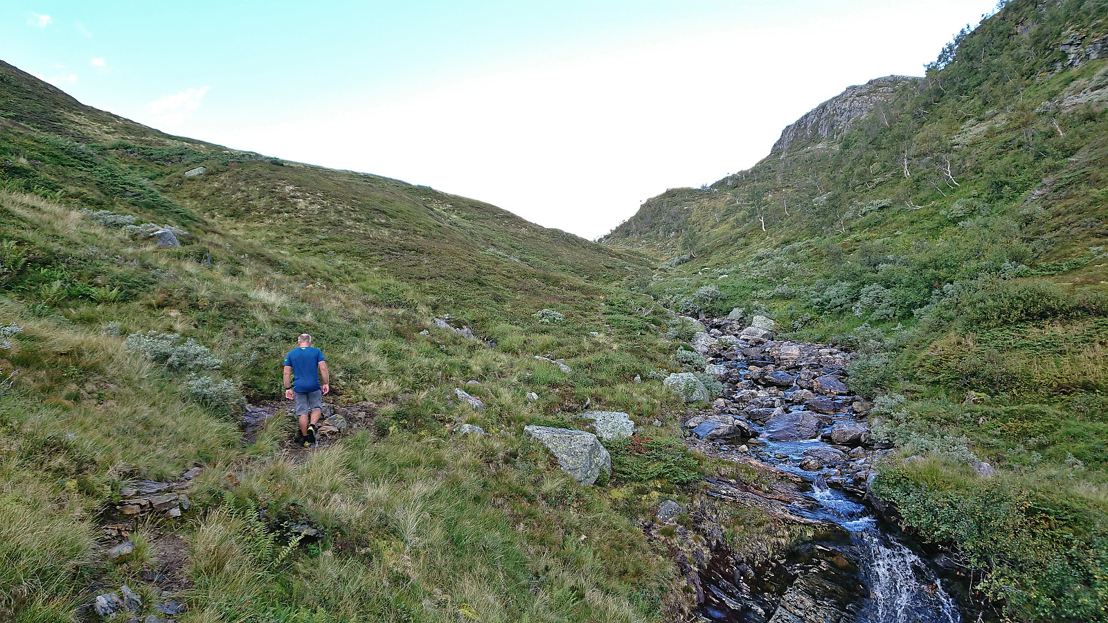
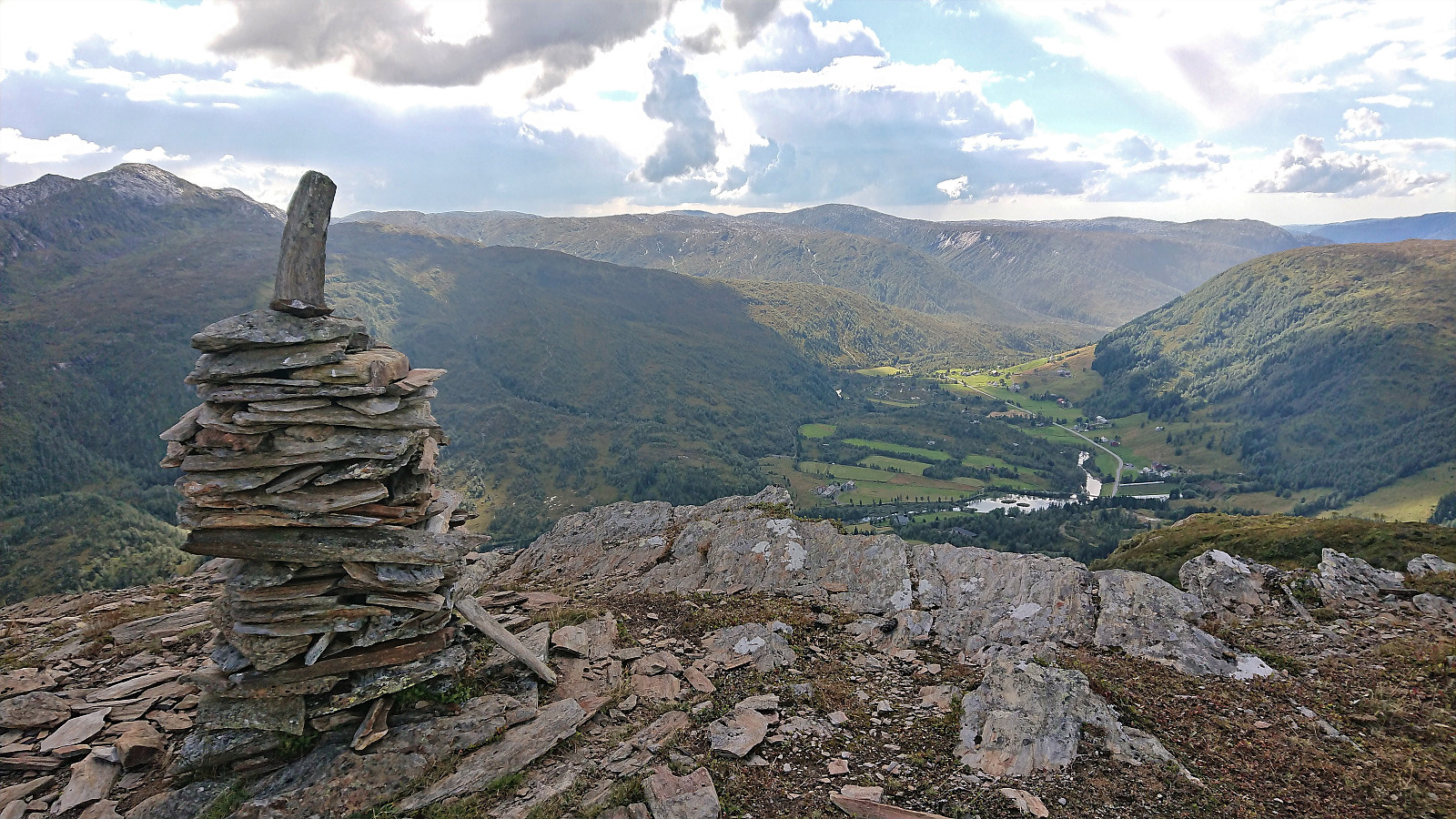
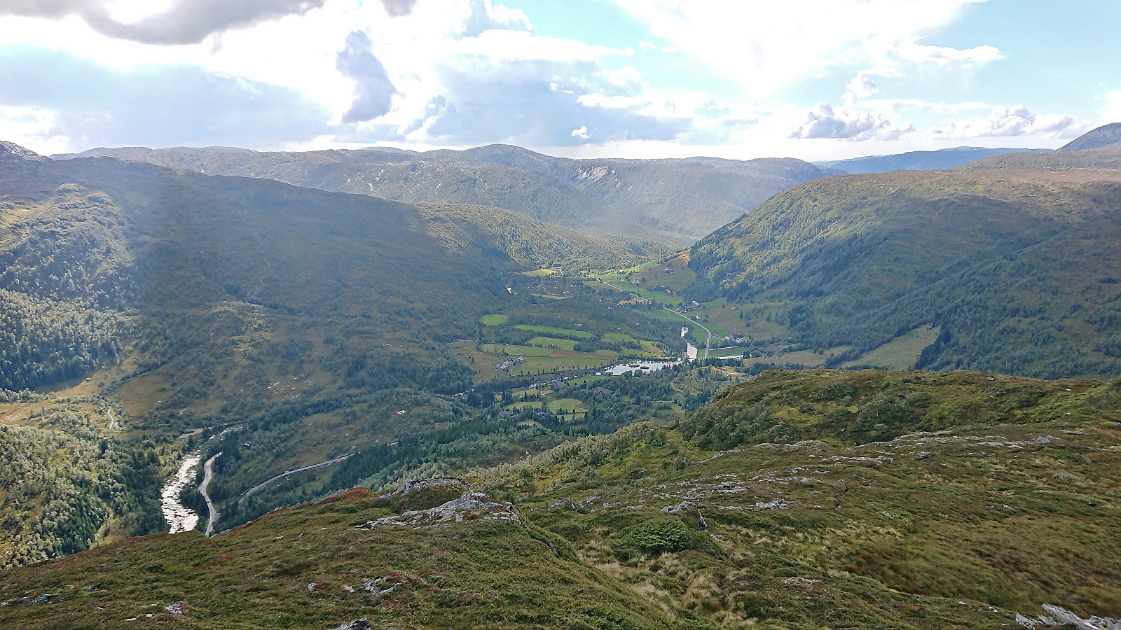
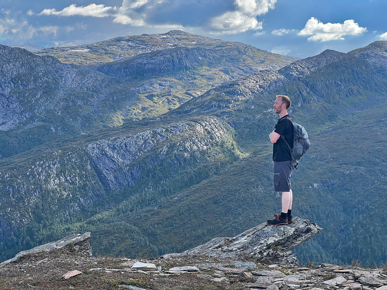
This required a bit of up and down and crossing of wet several areas before finally happening upon a trail/sheep track southeast of the summit that we could more or less follow all the way to the top, although it turned quite weak towards the end. The summit provided surprisingly good views, further improved by the sun reappearing.
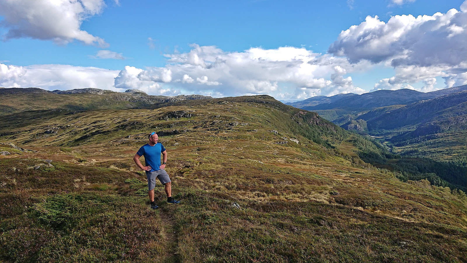
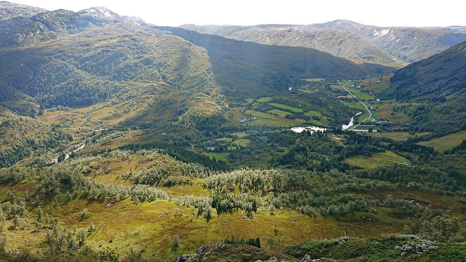
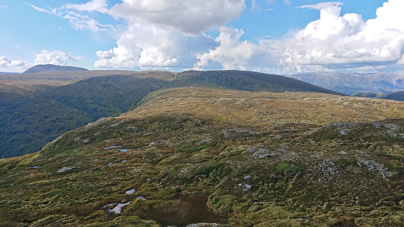
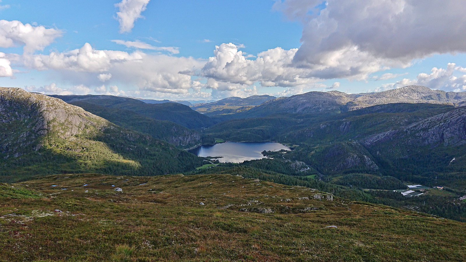
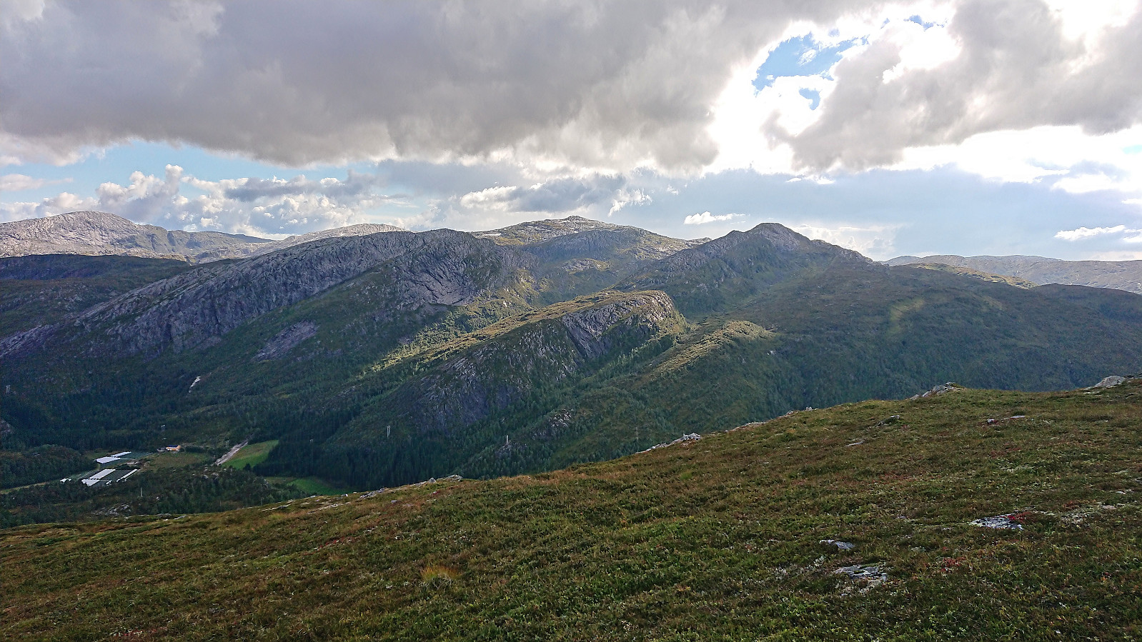
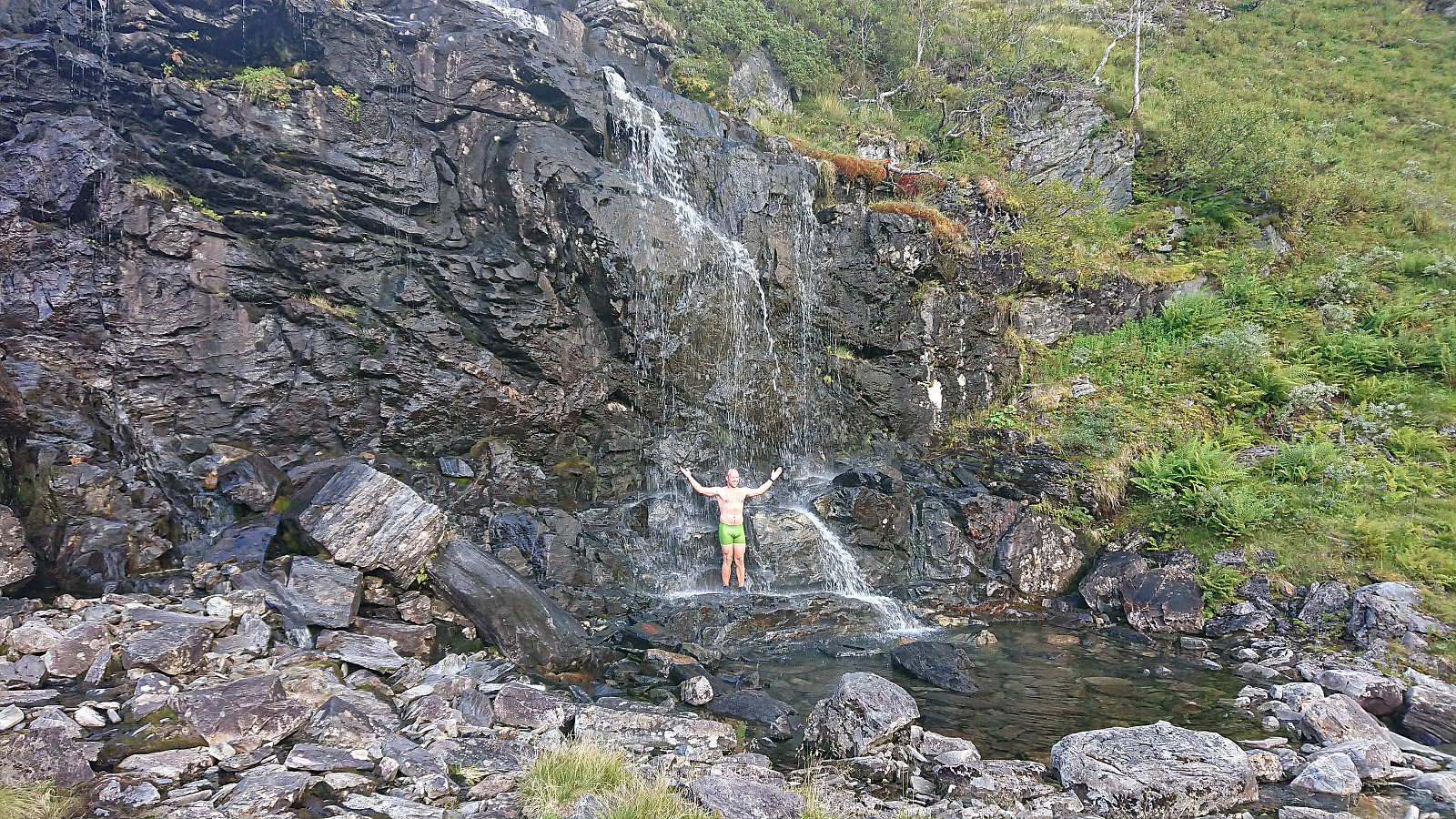
For our descent, we followed the trail/animal track we had come across earlier via Brunane to Bjørgaknausen, enjoying excellent views along the way. Bjørgaknausen even had its own visitor register that we signed before continuing our descent. At some point we must have missed an exit though, as the trail suddenly ended. We therefore continued off-trail and made a minor detour to a waterfall we had passed on the ascent which Endre was keen on using as a shower. After Endre's quick and cold shower, we concluded the hike by returning to the car along the same trail used for the ascent.
Overall, a nice short hike with great views from the summit. However, our route via the upper parts of Bergsskaret, with its ups and downs and crossing of wet areas, can probably be avoided if instead forking left when the trail split for the second time. I assume that one is then be able to follow this trail to Bjørgaknausen and from there the trail/animal track to the summit of Såta.
Note: If concerned about the private parking, there was also a parking lot about 250 meters earlier that may not be limited to cabin owners. We did not to inspect this one in detail though.

| Start date | 04.09.2022 14:28 (UTC+01:00 DST) |
| End date | 04.09.2022 17:21 (UTC+01:00 DST) |
| Total Time | 2h 52min |
| Moving Time | 2h 35min |
| Stopped Time | 0h 16min |
| Overall Average | 3.6km/h |
| Moving Average | 4.0km/h |
| Distance | 10.2km |
| Vertical meters | 549m |


User comments