
Small hills east of Sotrabroen (15.01.2022)

Written by hbar (Harald Barsnes)

| Start point | Drotningsvik Rv. 555 (44m) |
|---|---|
| Endpoint | Breivikskiftet Rv. 555 (59m) |
| Characteristic | Hillwalk |
| Duration | 2h 06min |
| Distance | 6.8km |
| Vertical meters | 293m |
| GPS |
|
| Ascents | Ospehaugen (82m) | 15.01.2022 |
|---|---|---|
| Ramsvikhaugen (69m) | 15.01.2022 | |
| Skipparhaugen (64m) | 15.01.2022 | |
| Storhaugen (36m) | 15.01.2022 | |
| Visits of other PBEs | Hellersfjellet (65m) | 15.01.2022 |
| Hellersfjellet gapahuk (59m) | 15.01.2022 | |
| Janahaugen (72m) | 15.01.2022 | |
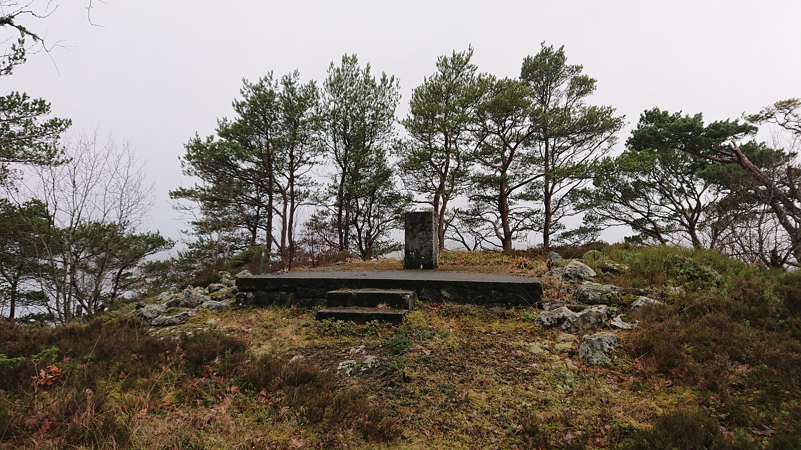
| Ramsvikhaugen utsiktspunkt (53m) | 15.01.2022 |
Small hills east of Sotrabroen
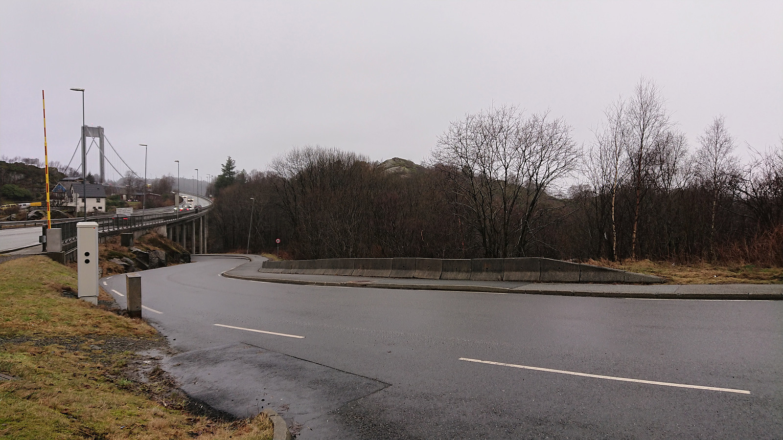
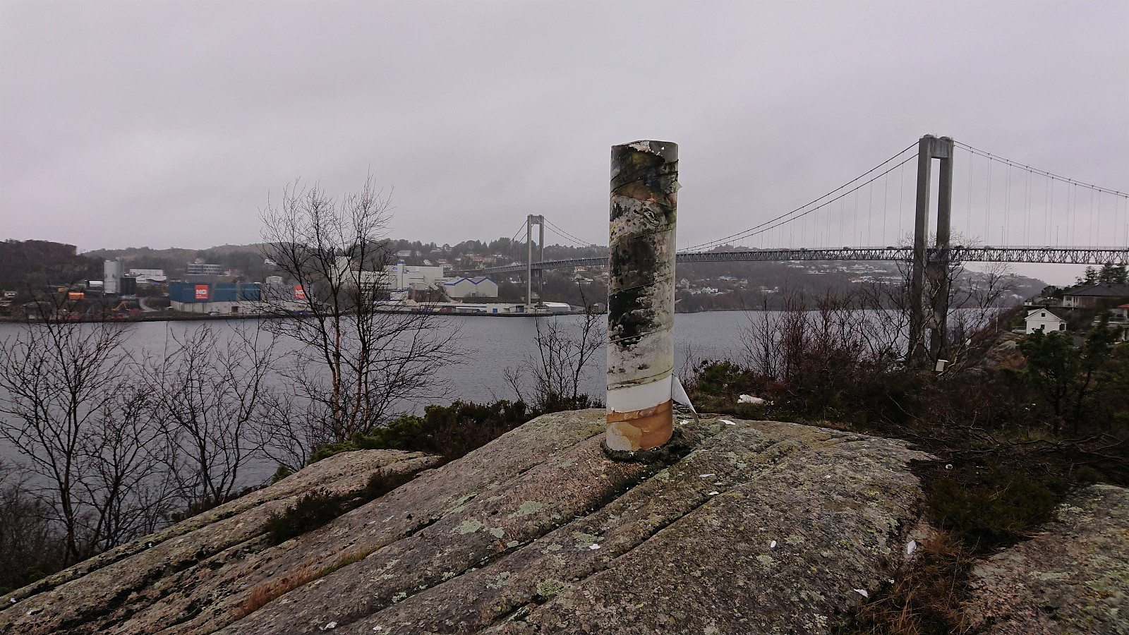
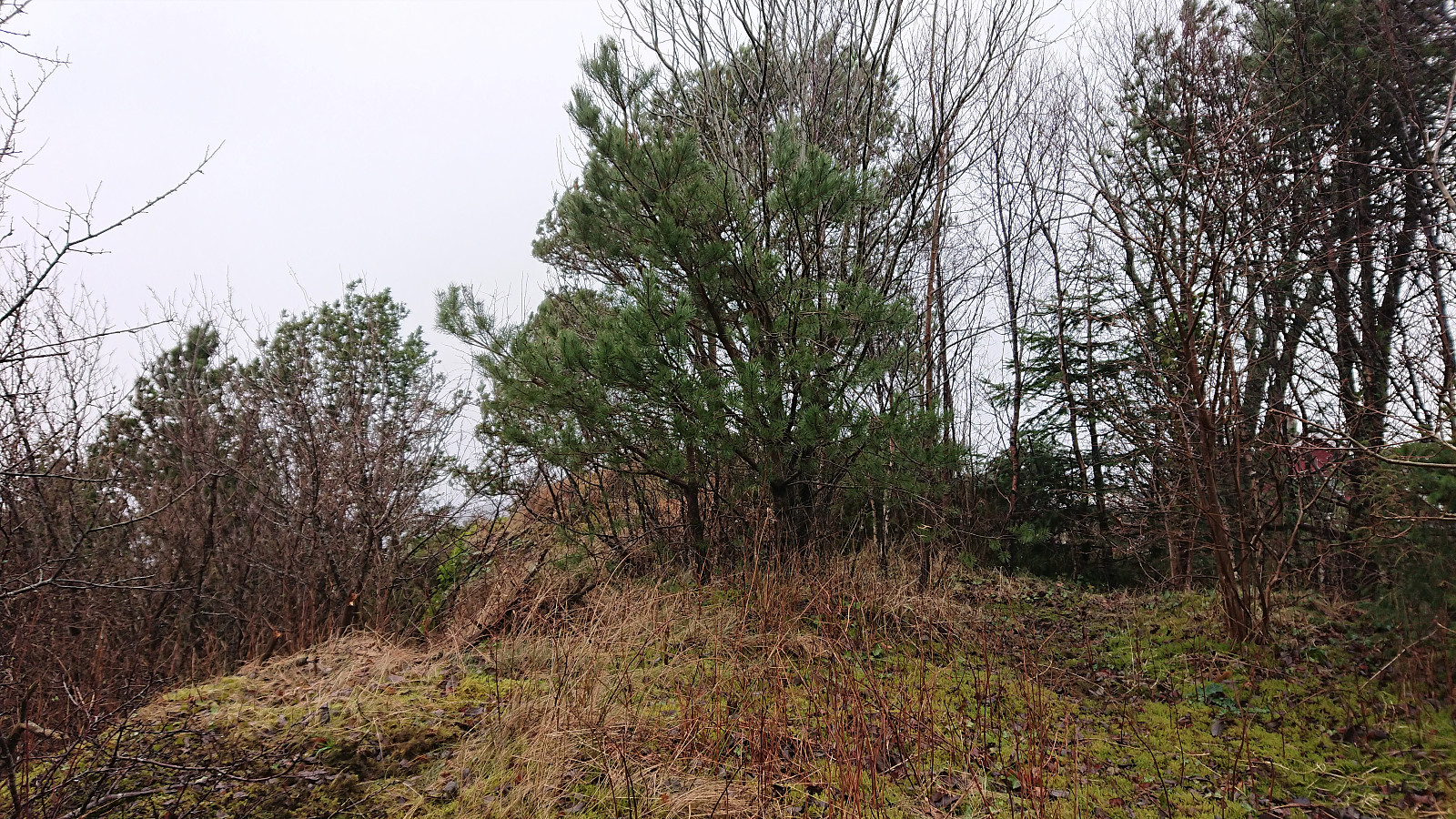
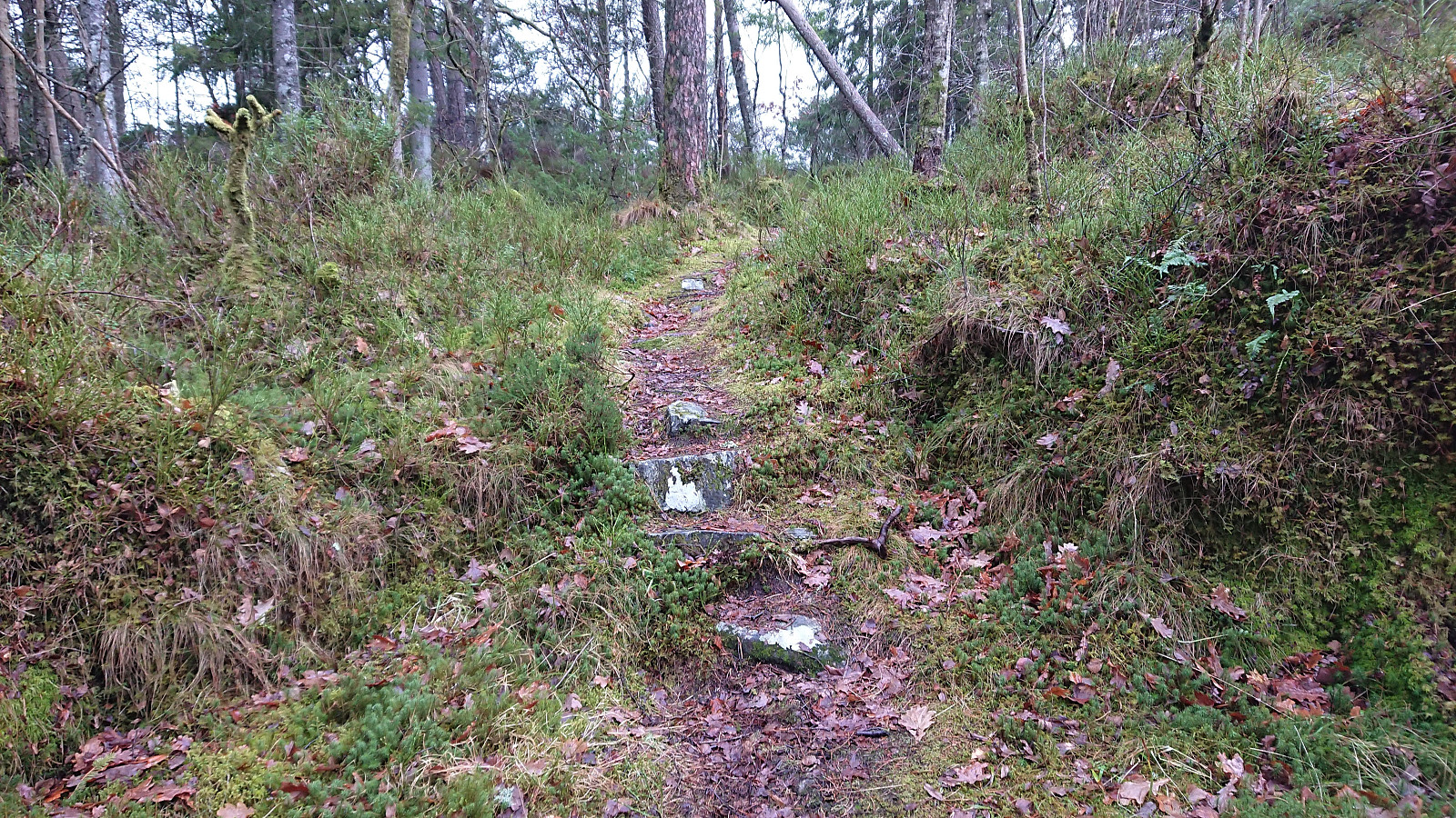
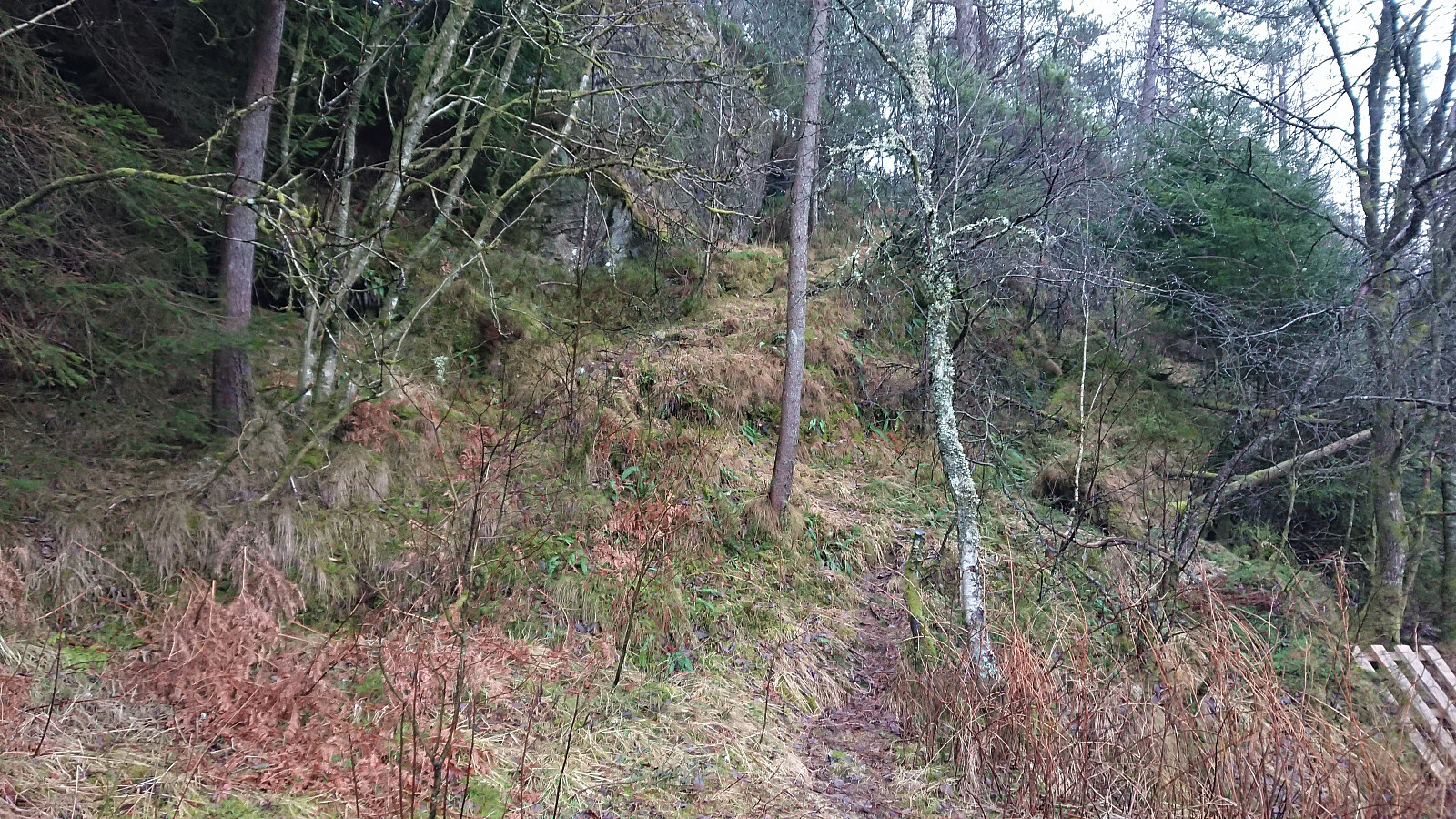
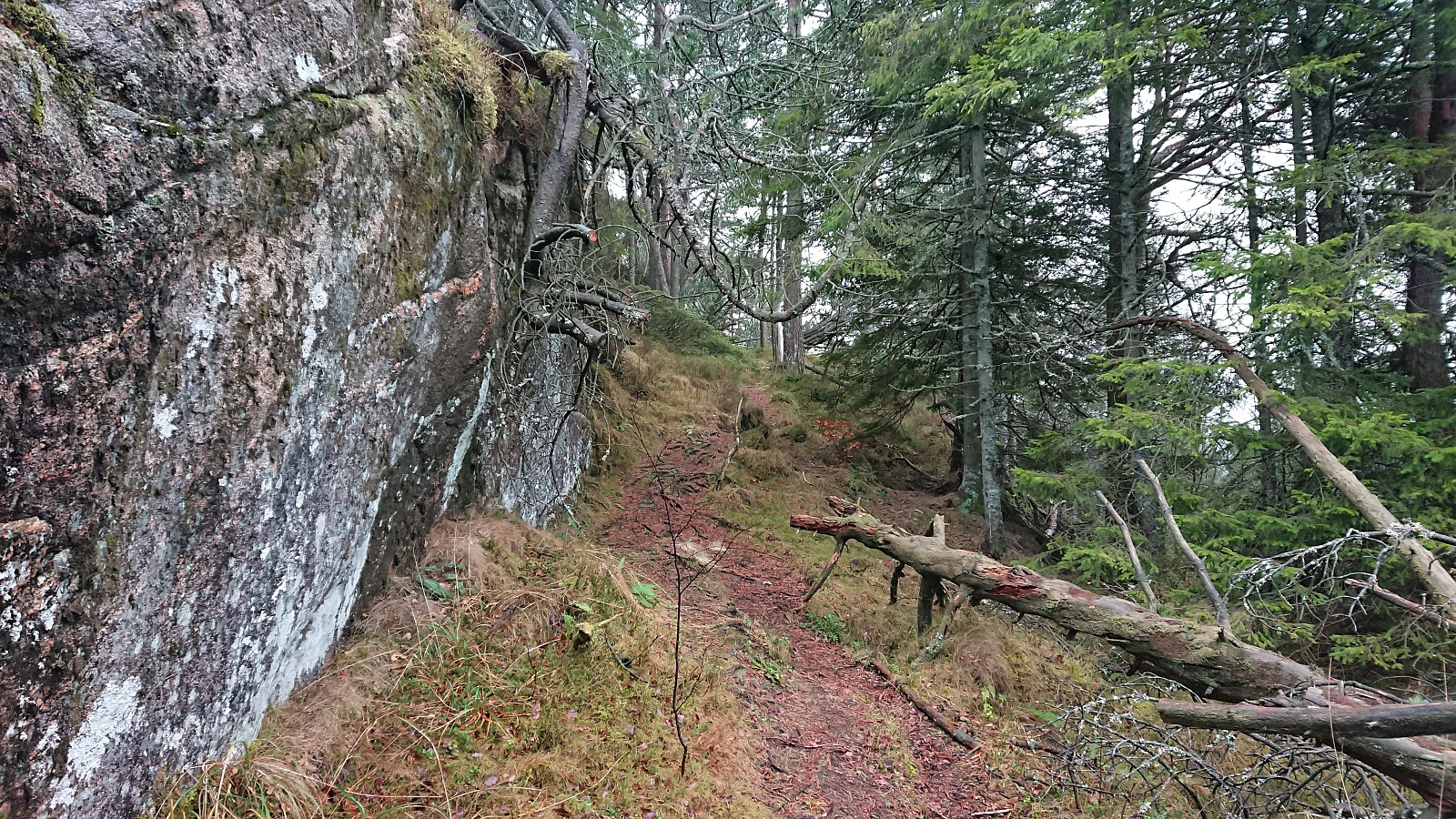
An overall gray Saturday was used to visit small peaks on the Utvalgte topper og turmål i Bergen list. Thanks to knutsverre (Knut S. Andersen)'s recent reports, it was overall straightforward to get to all of the summits. Skipparhaugen was ascended directly from the southeast in order to avoid a detour. This required a bit of easy scrambling at the start, but was otherwise unproblematic. After a quick visit of Storhaugen, which had a trail all the way to the summit, I made a detour to Janahaugen. The summit can be easily reached via a trail, but I did not add it as a new PB element as there is a higher point (inside a private garden) just to the north of where Janahaugen is indicated on the map.
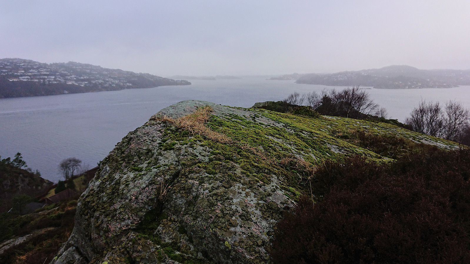
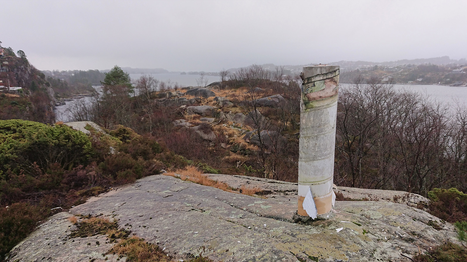
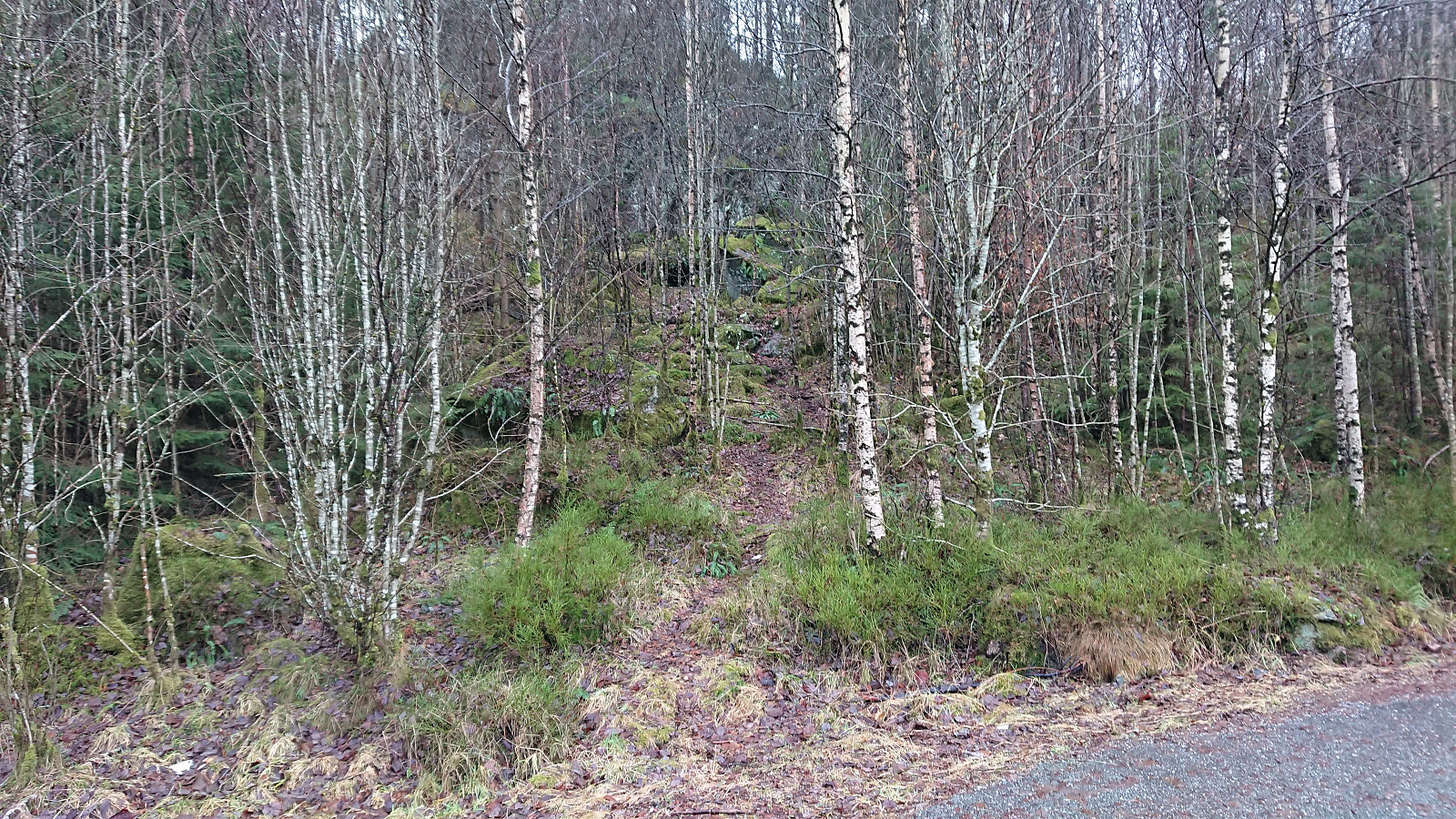
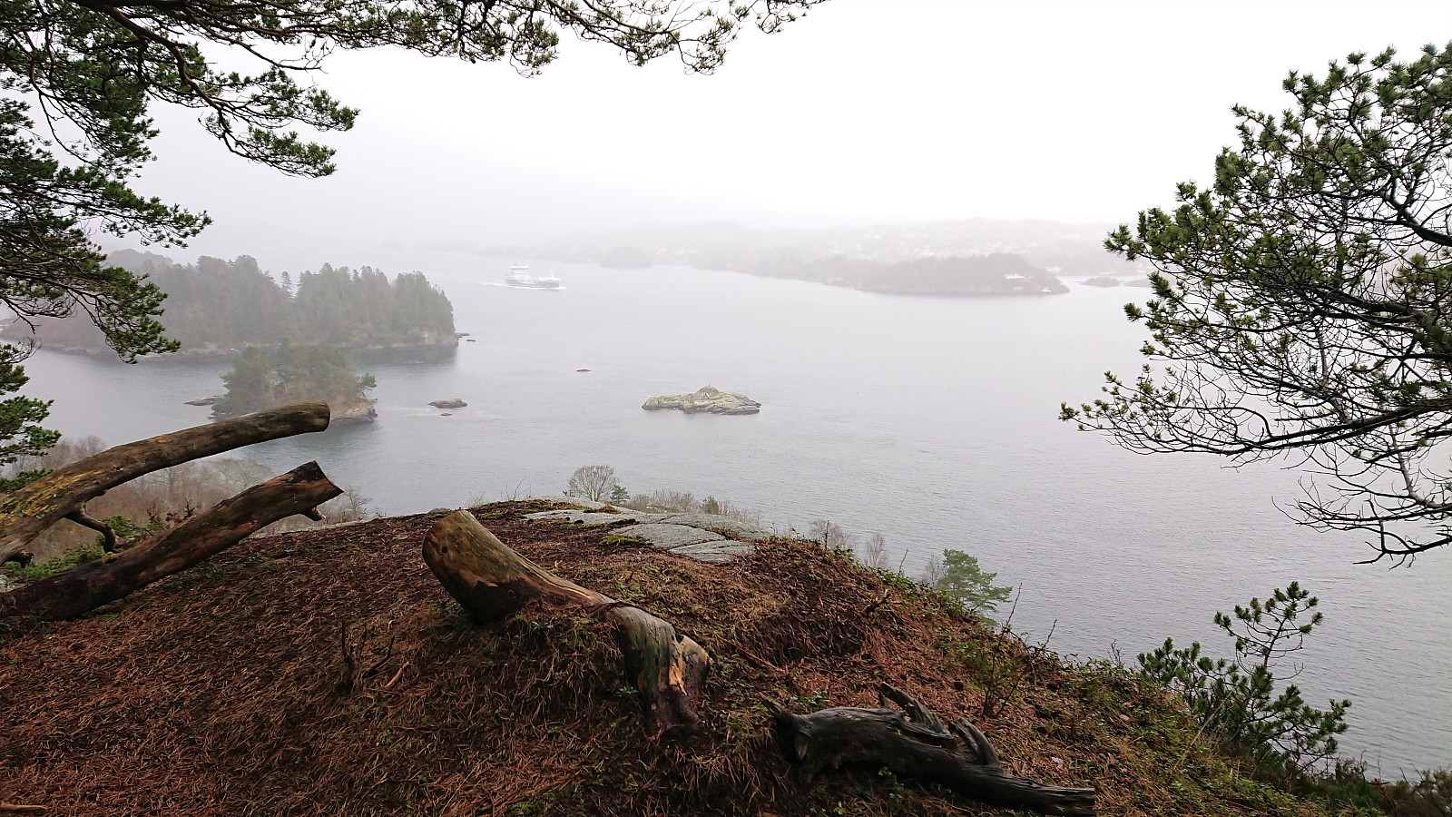
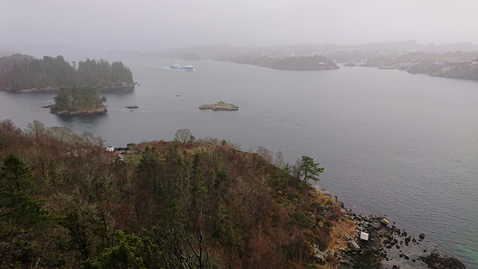
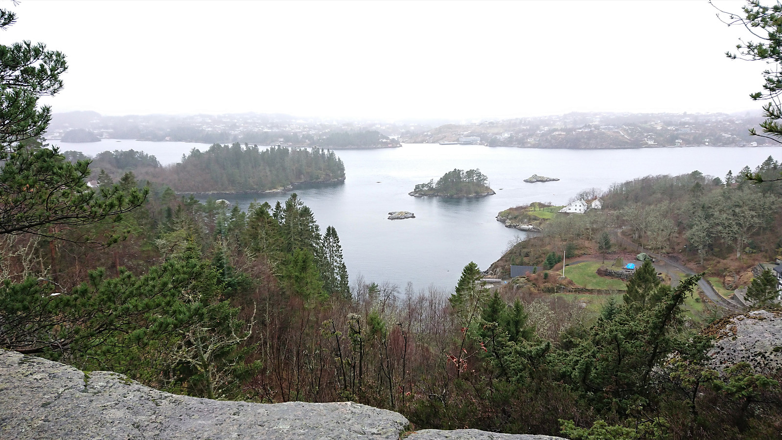
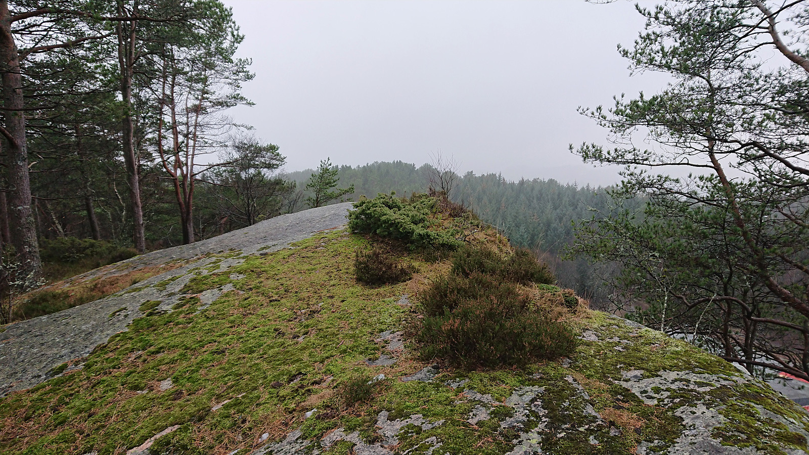
Ramsvikhaugen was ascended from the bus stop to the east. Here there was a trail that could be followed all the way to the summit. The trailhead was not very clear, but the trail itself was easy to follow. Most hikers do not seem to visit the summit though, but rather a nice viewpoint to the south. The views from the summit itself were much more limited.
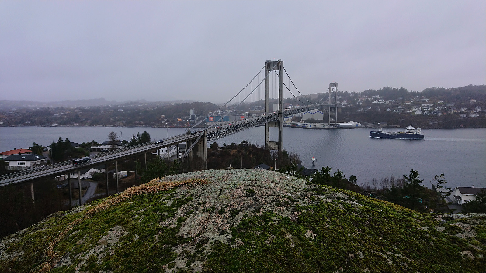
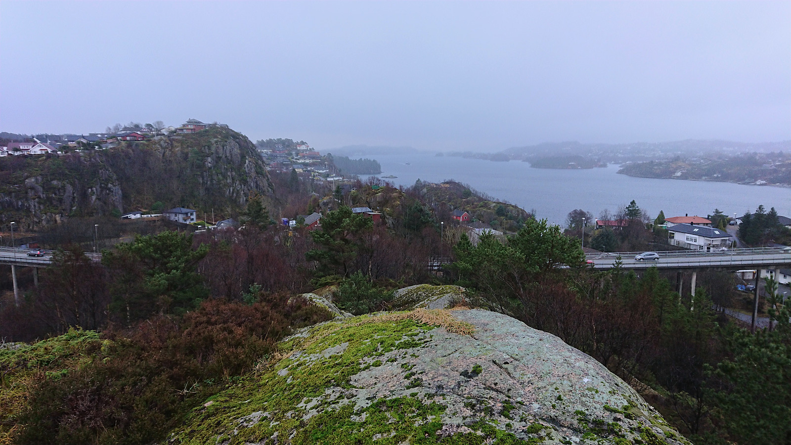
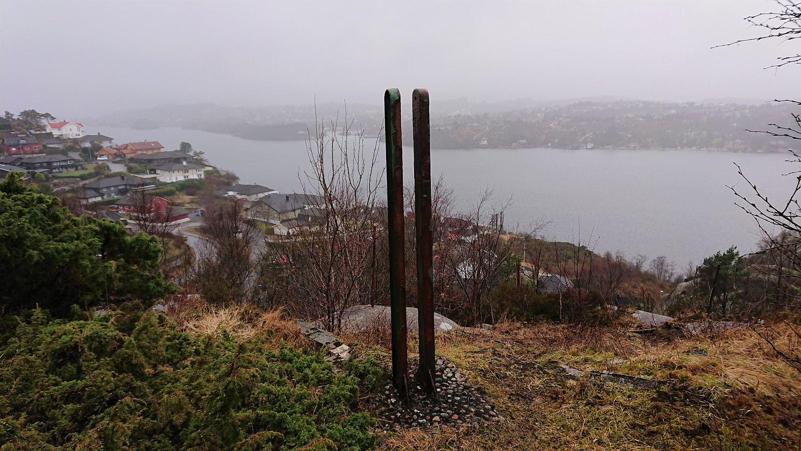
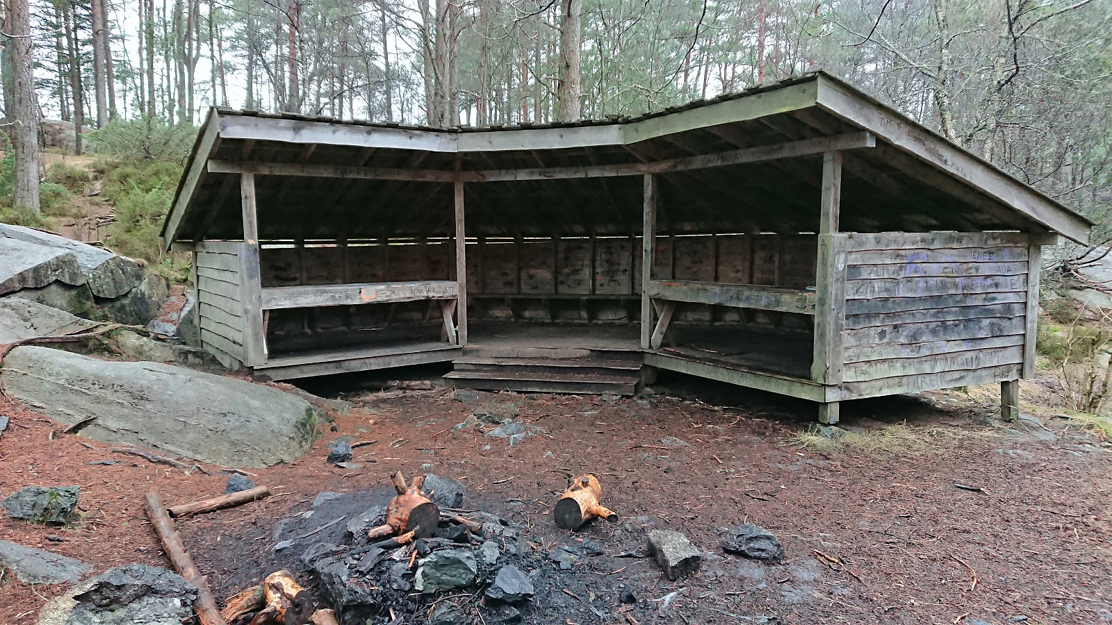
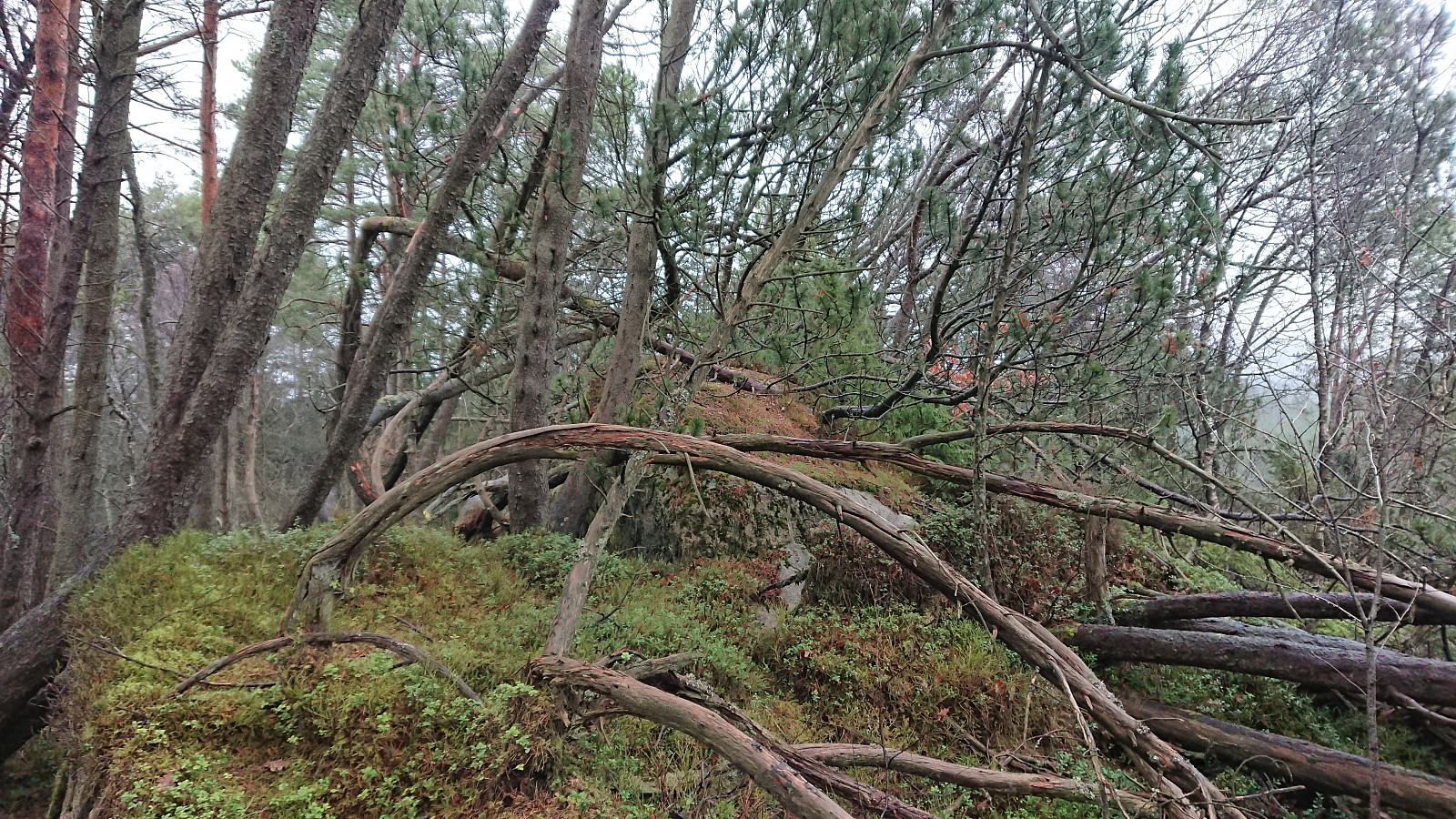
On my way to Ospehaugen, the last goal of the day, I passed by Hellersfjellet which provided nice views towards the west. Given that Hellersfjellet is just a very minor summit, I did not add it as its own peak, but rather as a viewpoint. There was also a large wooden shelter just east of the summit. The northwestern summit of Vardehaugen was also quickly visited, given the recent findings that it might be slightly higher than the southeastern summit.
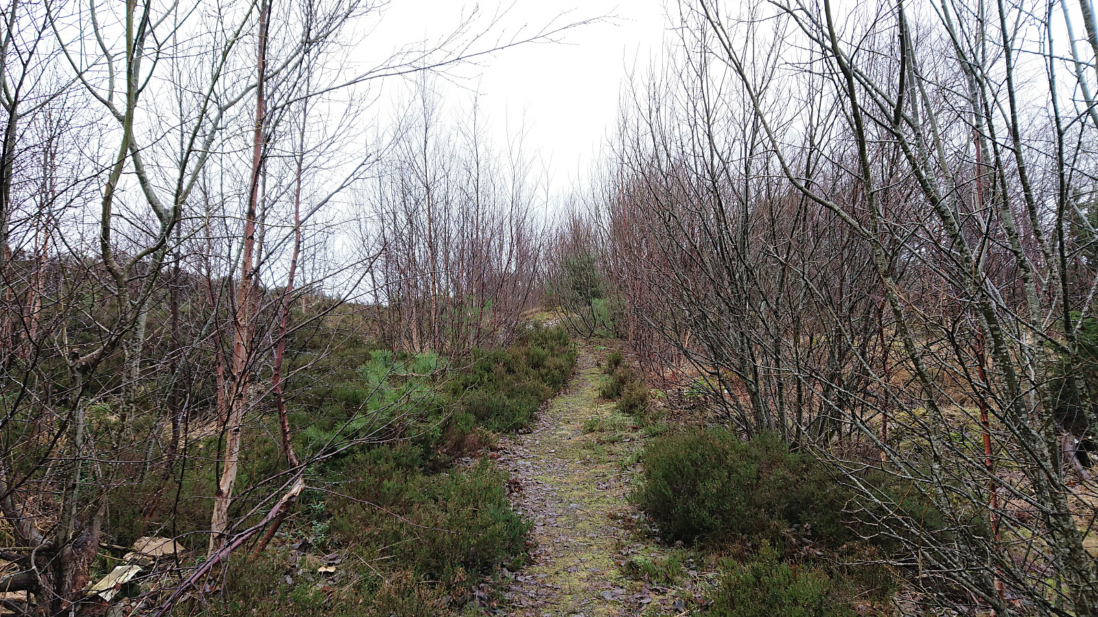
In the end, Ospehaugen was easily reached via a trail from the parking lot to the west, except for the last couple of meters to get to the summit requiring a bit of light scrambling. After returning to the trail, I followed it south across the summit, before returning north via Alvøen idrettspark to the main road and the bus home.
| Start date | 15.01.2022 13:27 (UTC+01:00) |
| End date | 15.01.2022 15:33 (UTC+01:00) |
| Total Time | 2h 06min |
| Moving Time | 2h 00min |
| Stopped Time | 0h 5min |
| Overall Average | 3.3km/h |
| Moving Average | 3.4km/h |
| Distance | 6.8km |
| Vertical meters | 293m |


User comments