
Eggene, Godbotnsfjellet and Geiteskardfjell from E39 (22.08.2021)

Skrevet av hbar (Harald Barsnes)

| Startsted | Sognevegen (E39) (302moh) |
|---|---|
| Sluttsted | Sognevegen (E39) (298moh) |
| Turtype | Fjelltur |
| Turlengde | 6t 58min |
| Distanse | 16,5km |
| Høydemeter | 1022m |
| GPS |
|
| Bestigninger | Eggene (895moh) | 22.08.2021 |
|---|---|---|
| Geiteskardfjell (893moh) | 22.08.2021 | |
| Godbotsfjellet (887moh) | 22.08.2021 |
Eggene, Godbotnsfjellet and Geiteskardfjell from E39
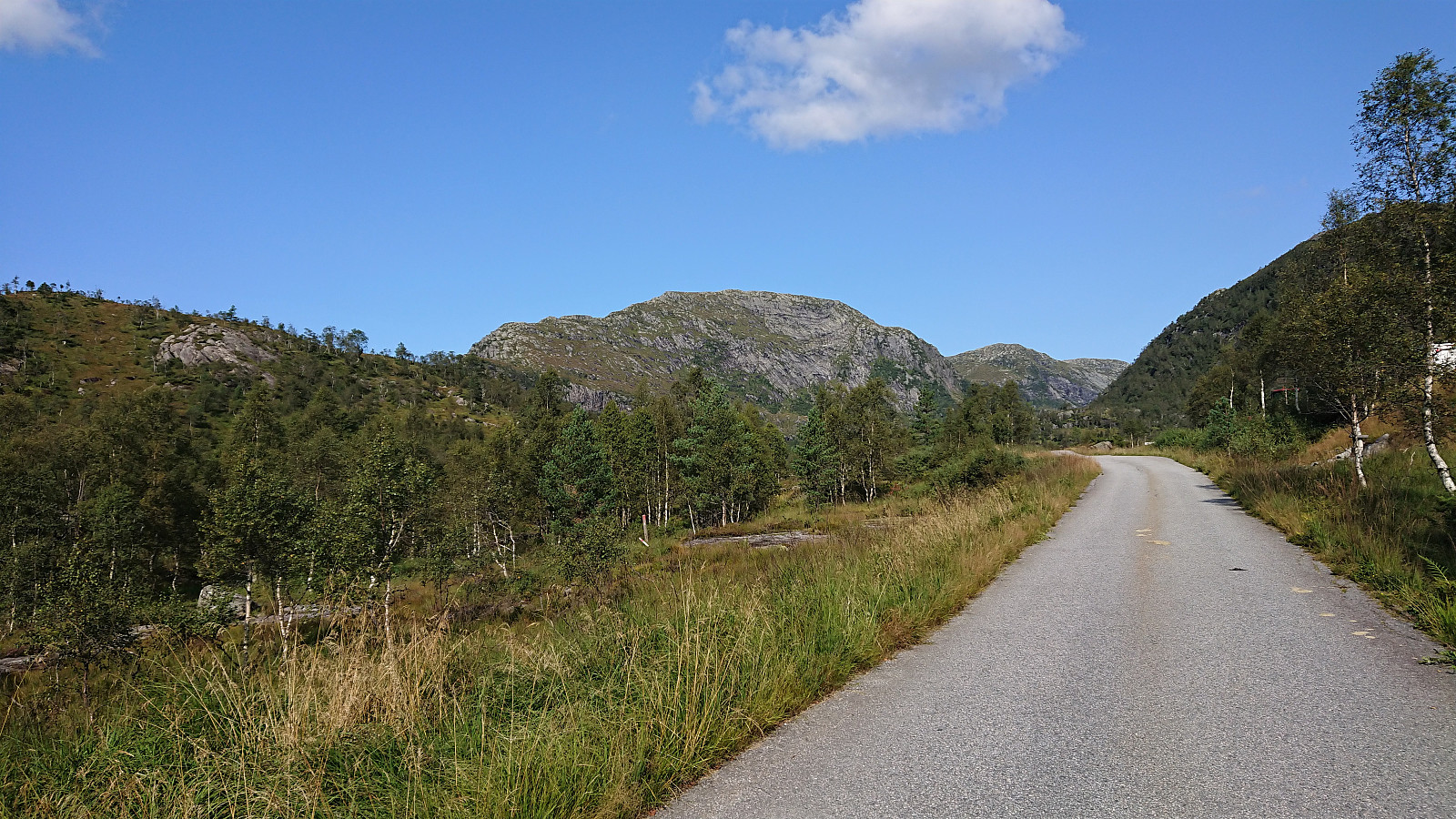
After yesterday’s long hike at Voss, I had originally not planned on hiking this Sunday. But with excellent August weather forecasts this was not really an option. I therefore hopped on a bus to Dyrkolbotn for a hike to Eggene, Godbotnsfjellet and Geiteskardfjell. I had previously studied the reports from gapahuken (Torbjørn Rygg Haugland) and knutsverre (Knut S. Andersen) (see here and here) and decided to pretty much follow in their footsteps.
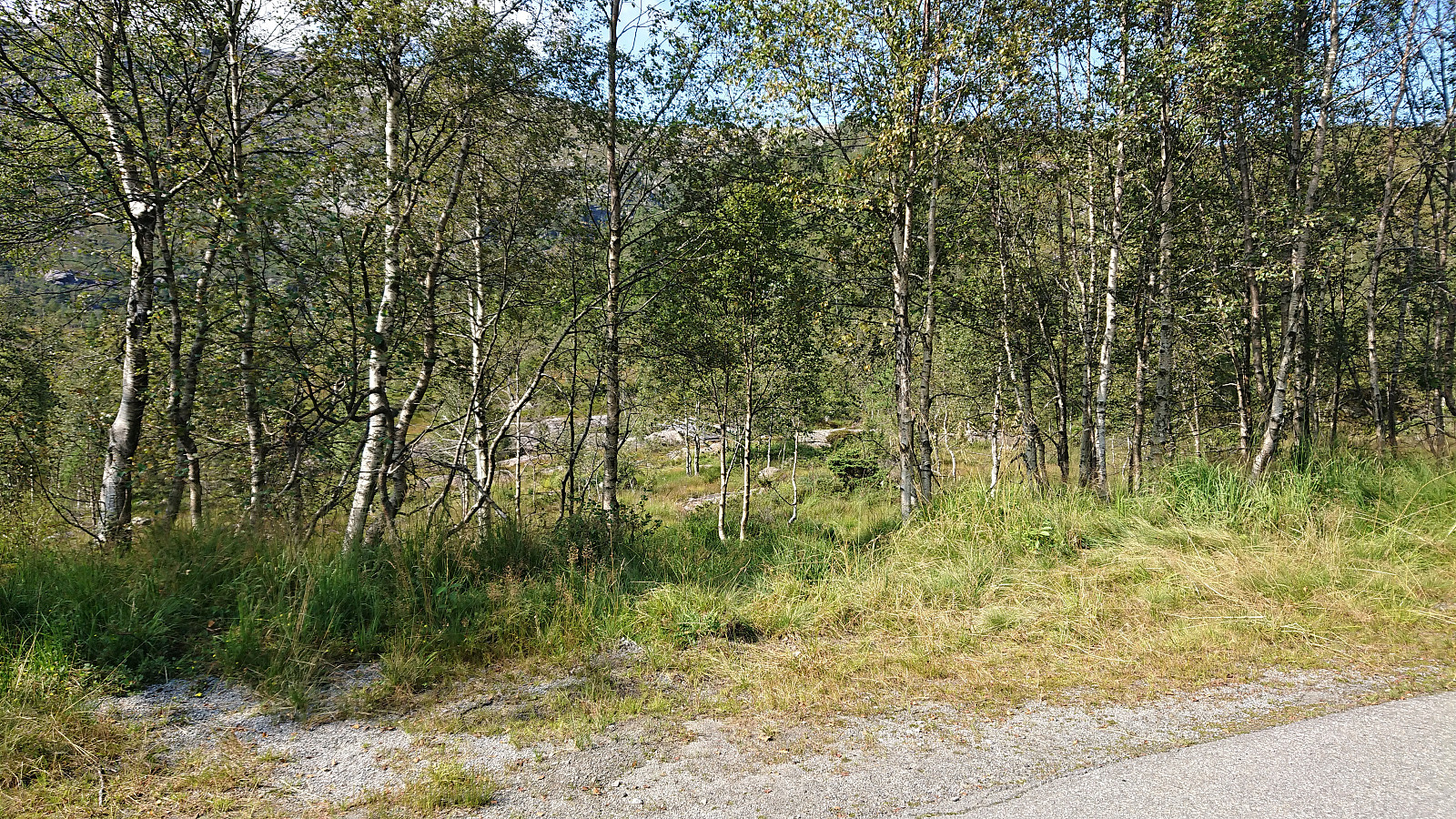
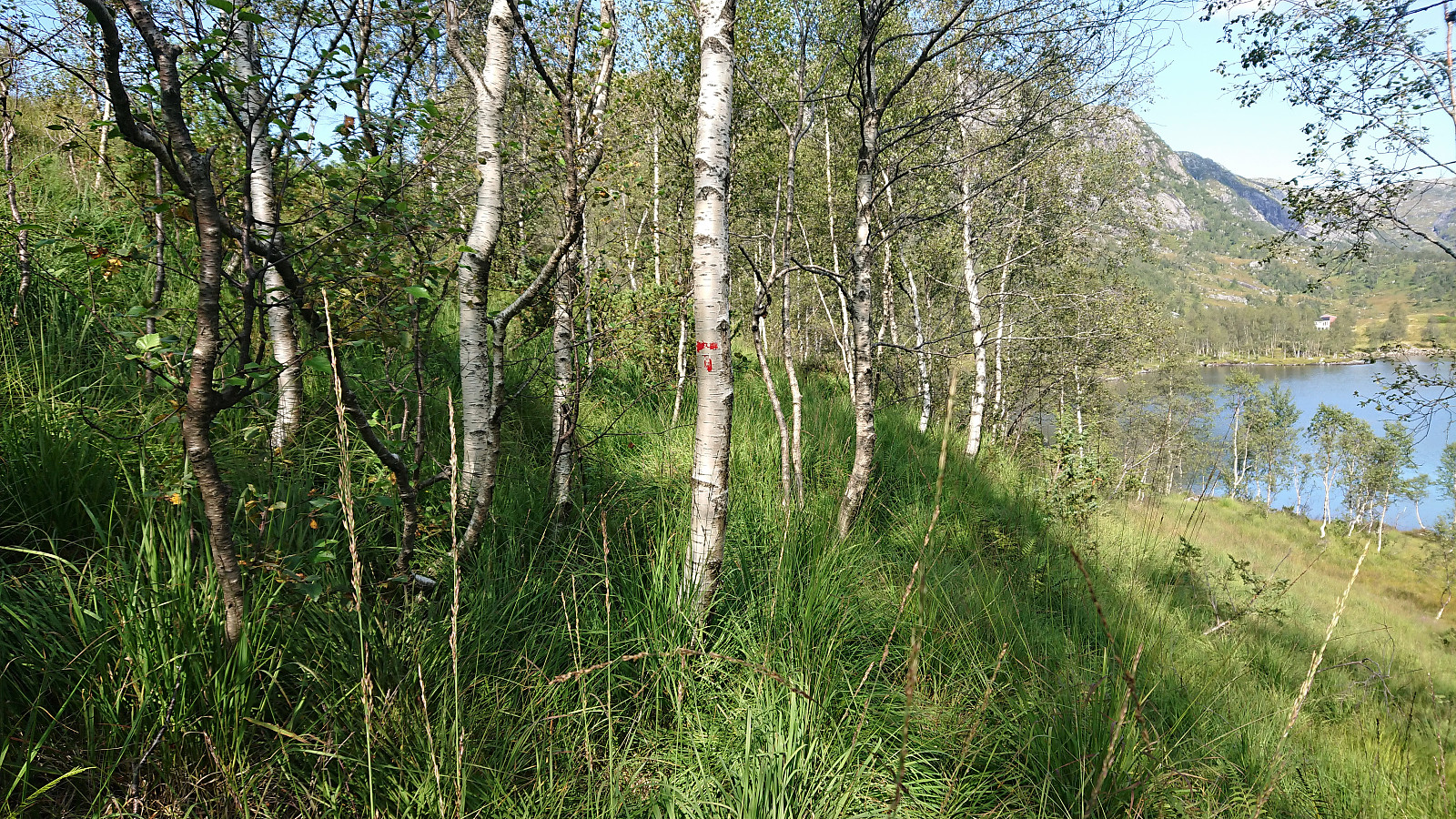
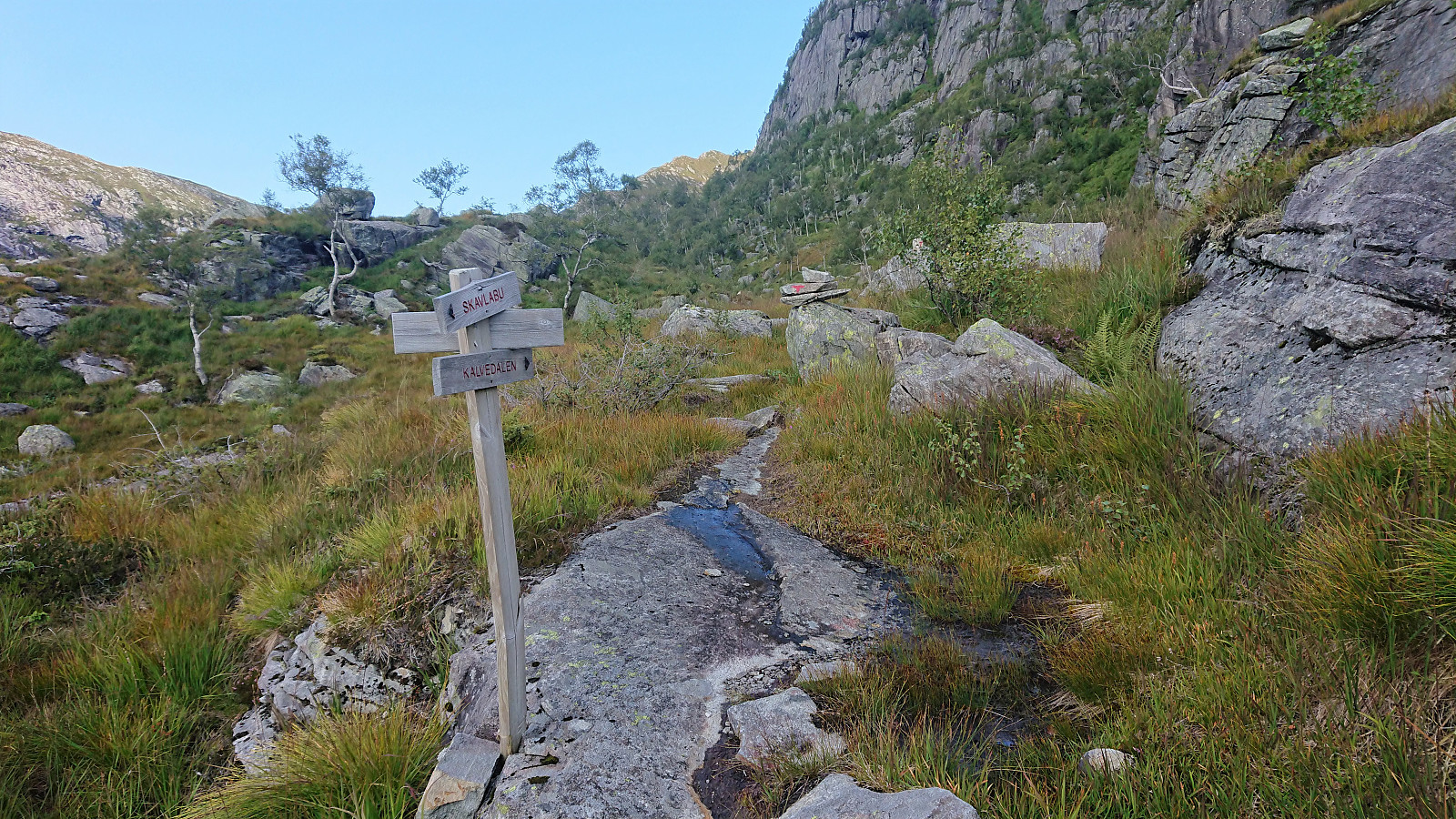
The only major difference being that I started from the main road and thus did not bother to head all the way to the northern parking lot at Dyrkolbotn, but instead had a go at the trail on the westside of Botnavatnet/Heimevatnet. A trail that was rather weak and currently well-hidden by the tall grasses. It was however (at least partially) marked and was still relatively easy to follow. (It would most likely have been just as fast to follow the alternative route on the eastside of the lake though.)
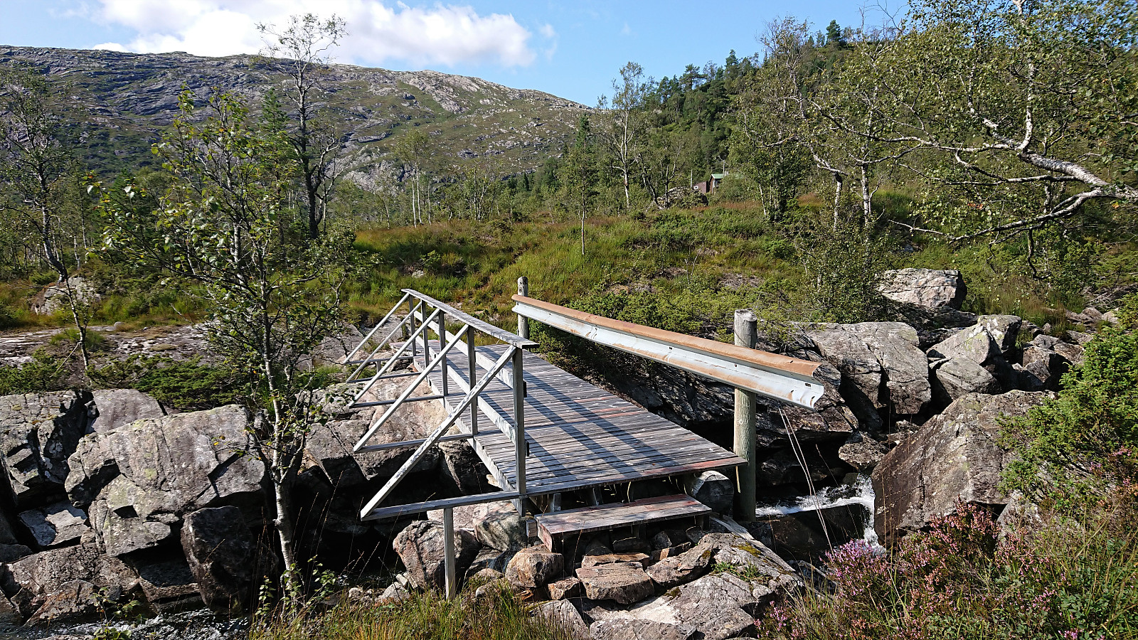
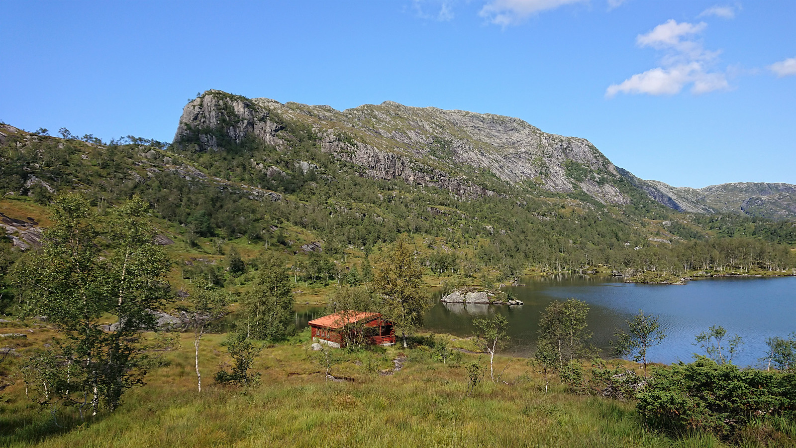
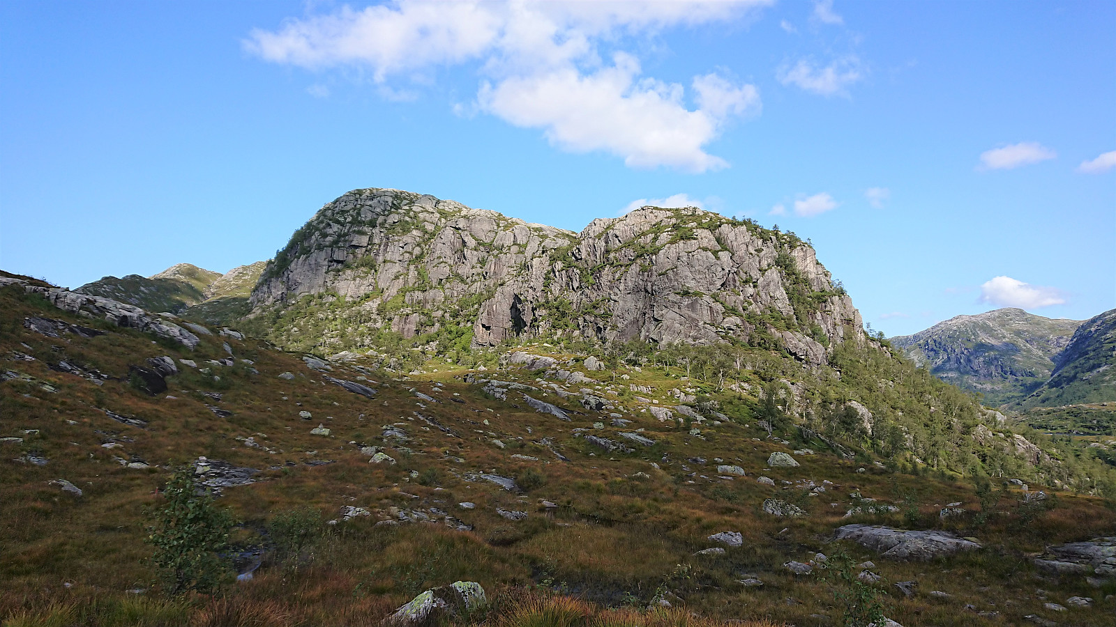
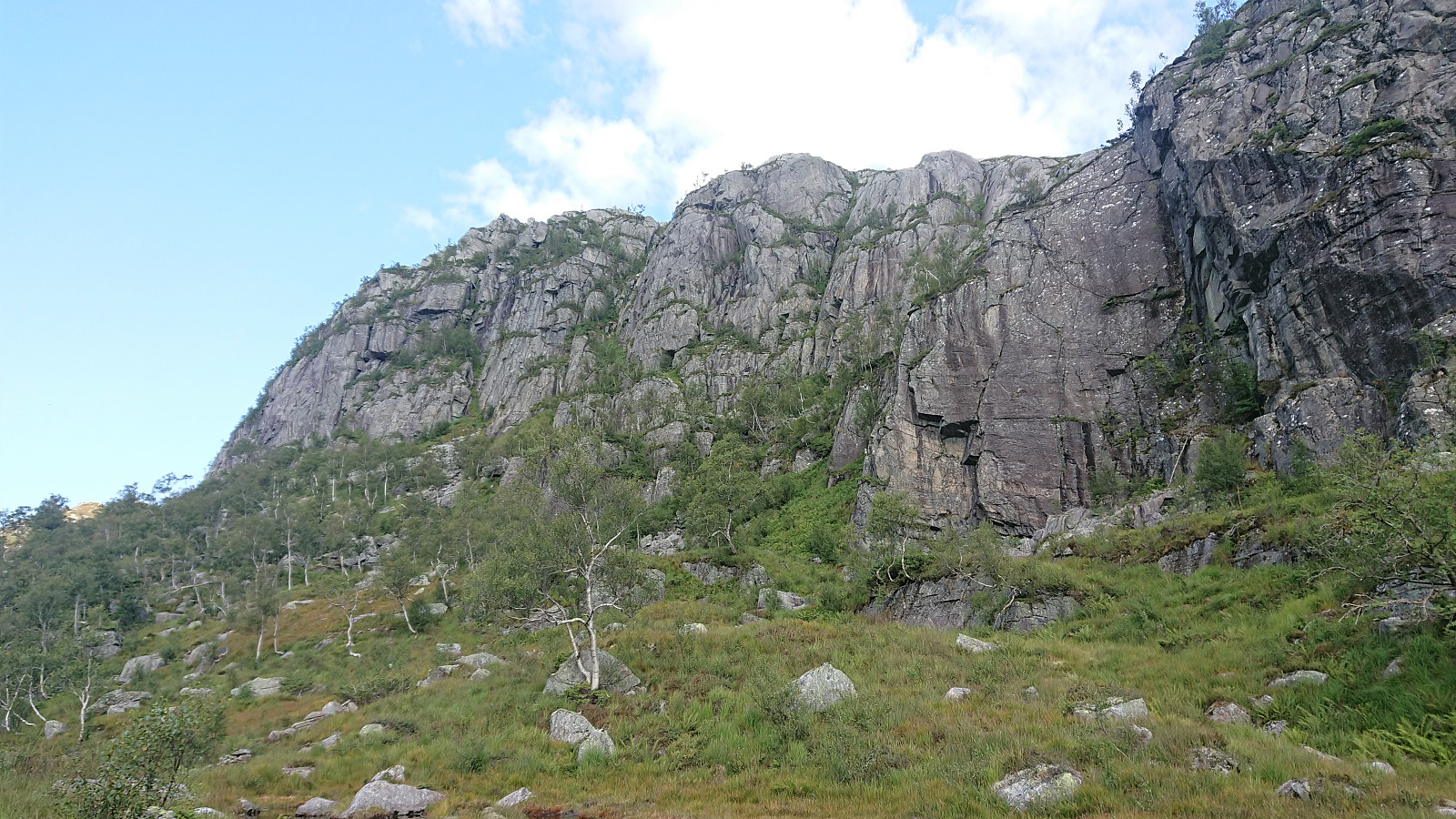
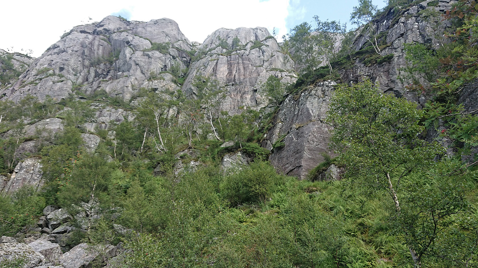
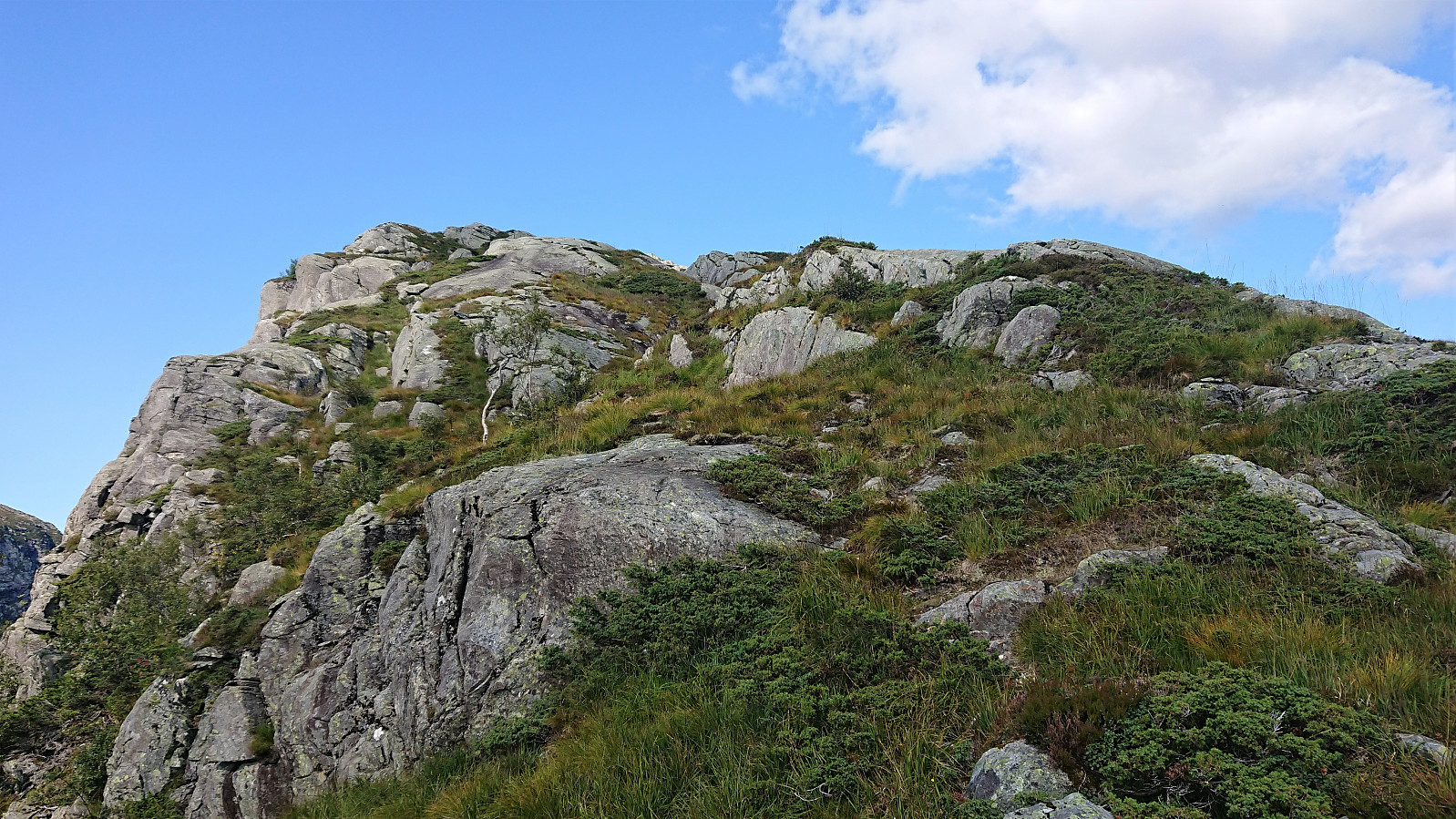
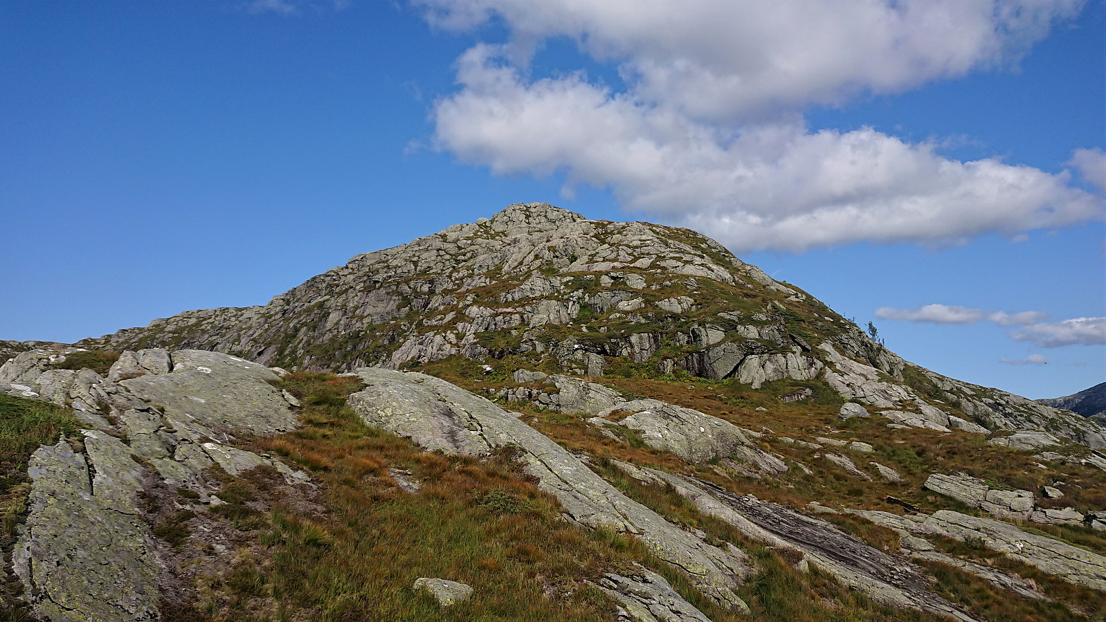
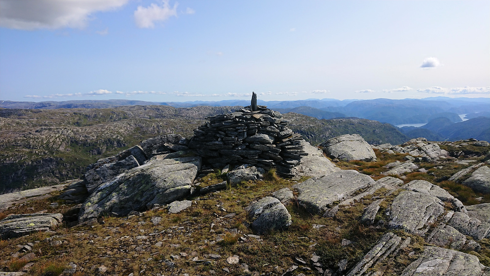
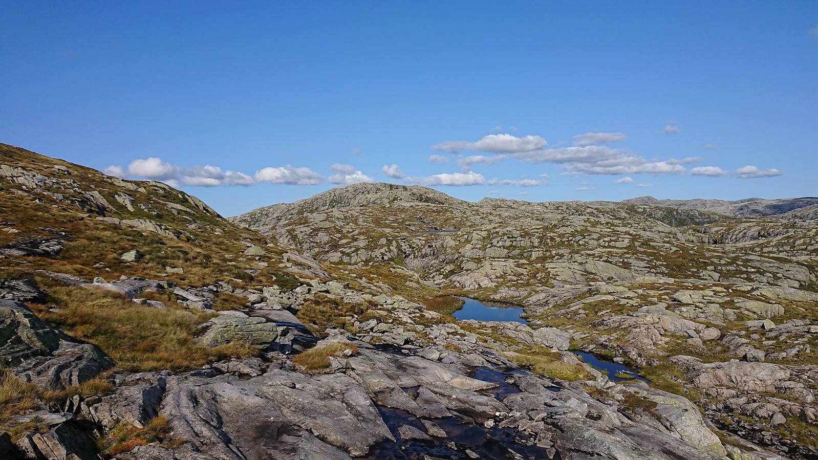
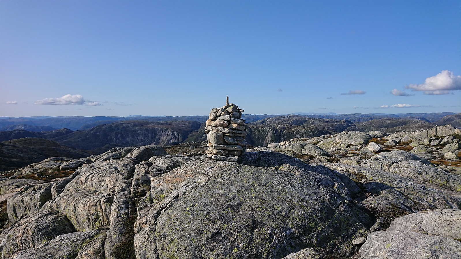
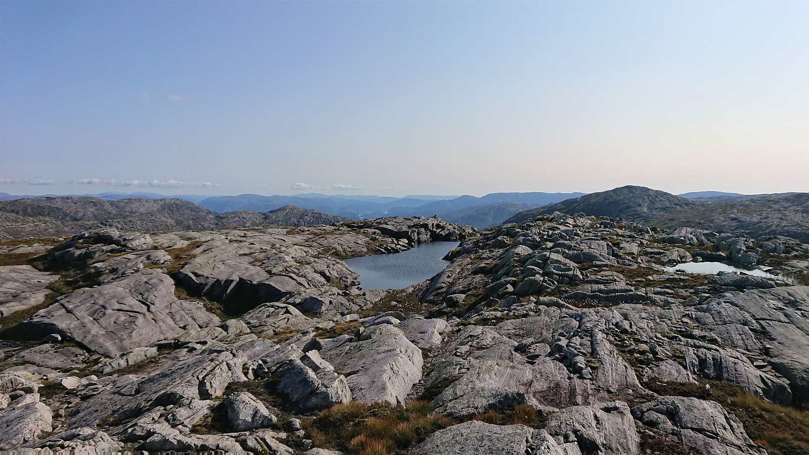
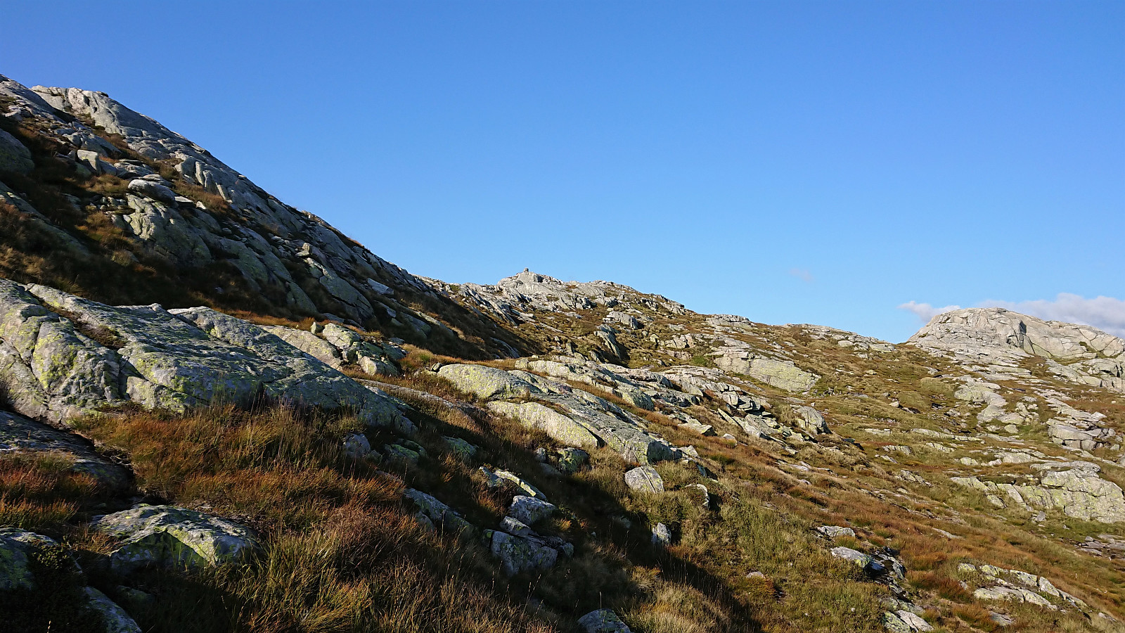
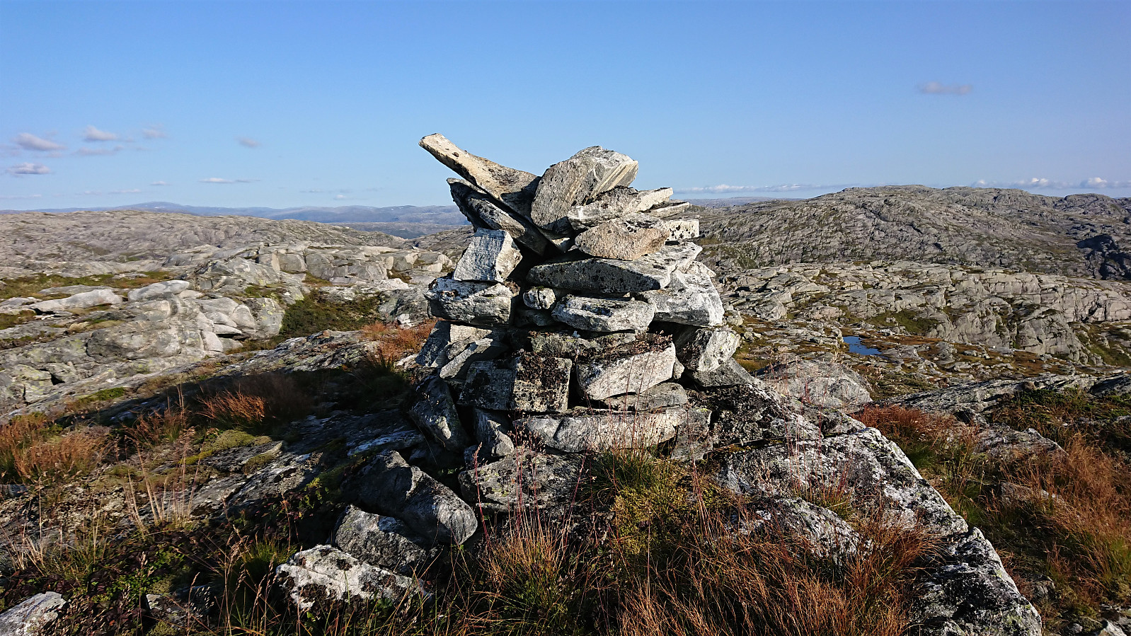
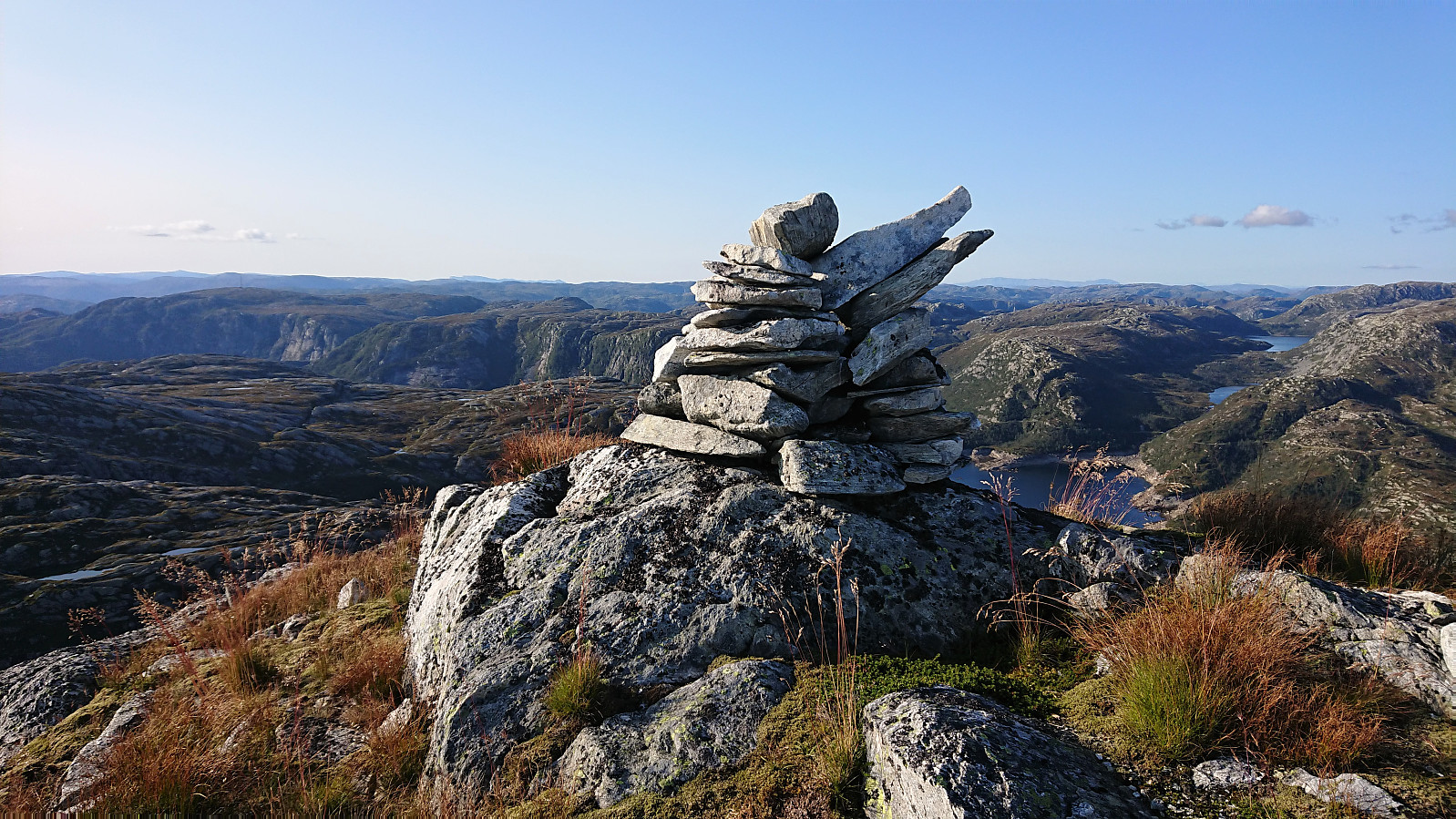
Just to the south of where the real ascent to Eggene starts, I connected with the marked trail from Dyrkolbotn heading to Olsbotnen. This trail seemed to be of better quality and even had newer trail markers. However, I quickly left this trail and headed towards the steep southern tip of Eggene. From a distance, this climb had looked very steep, and without the previous trip reports as a guide I would probably have thought twice about attempting this route. But upon closing inspection it was actually straightforward to ascend up the initial short steep section, with no climbing required. There was even a weak trail/track that could be followed. Within a couple of minutes the steep section was easily traversed and from there on it was straightforward to make progress towards the summit. The summit of Eggene provided excellent views and a great place for a late lunch break.
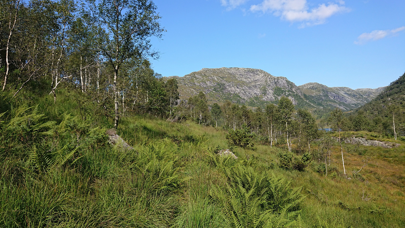
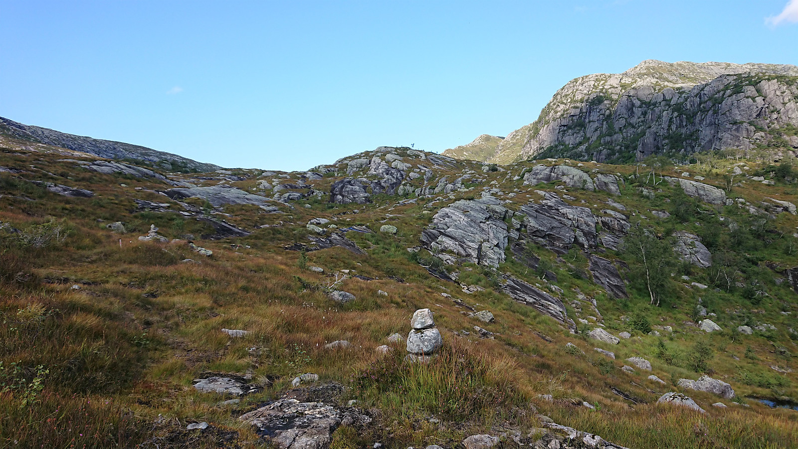
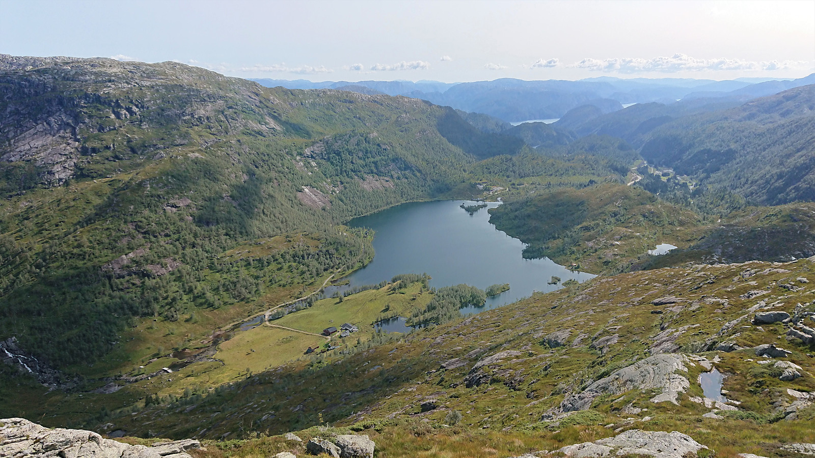
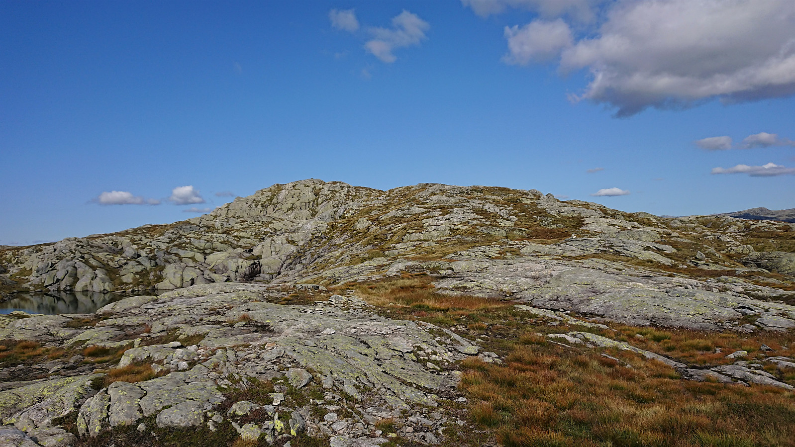
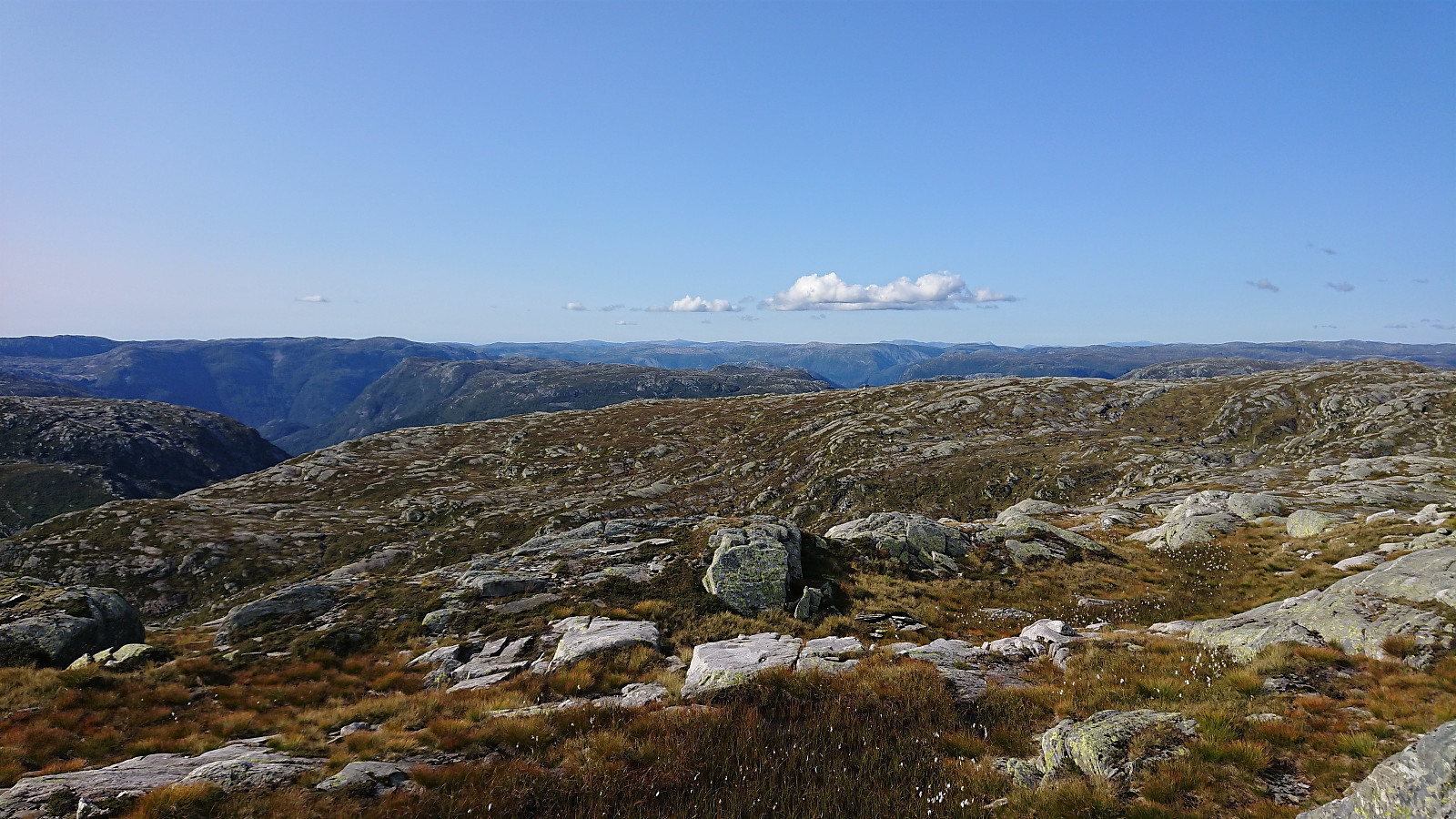
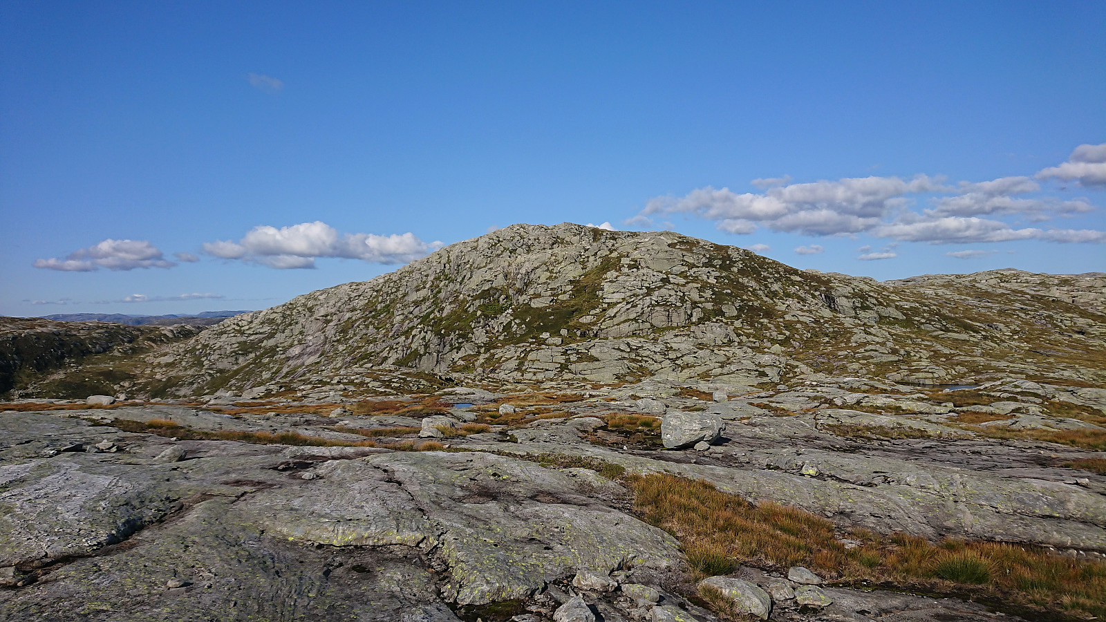
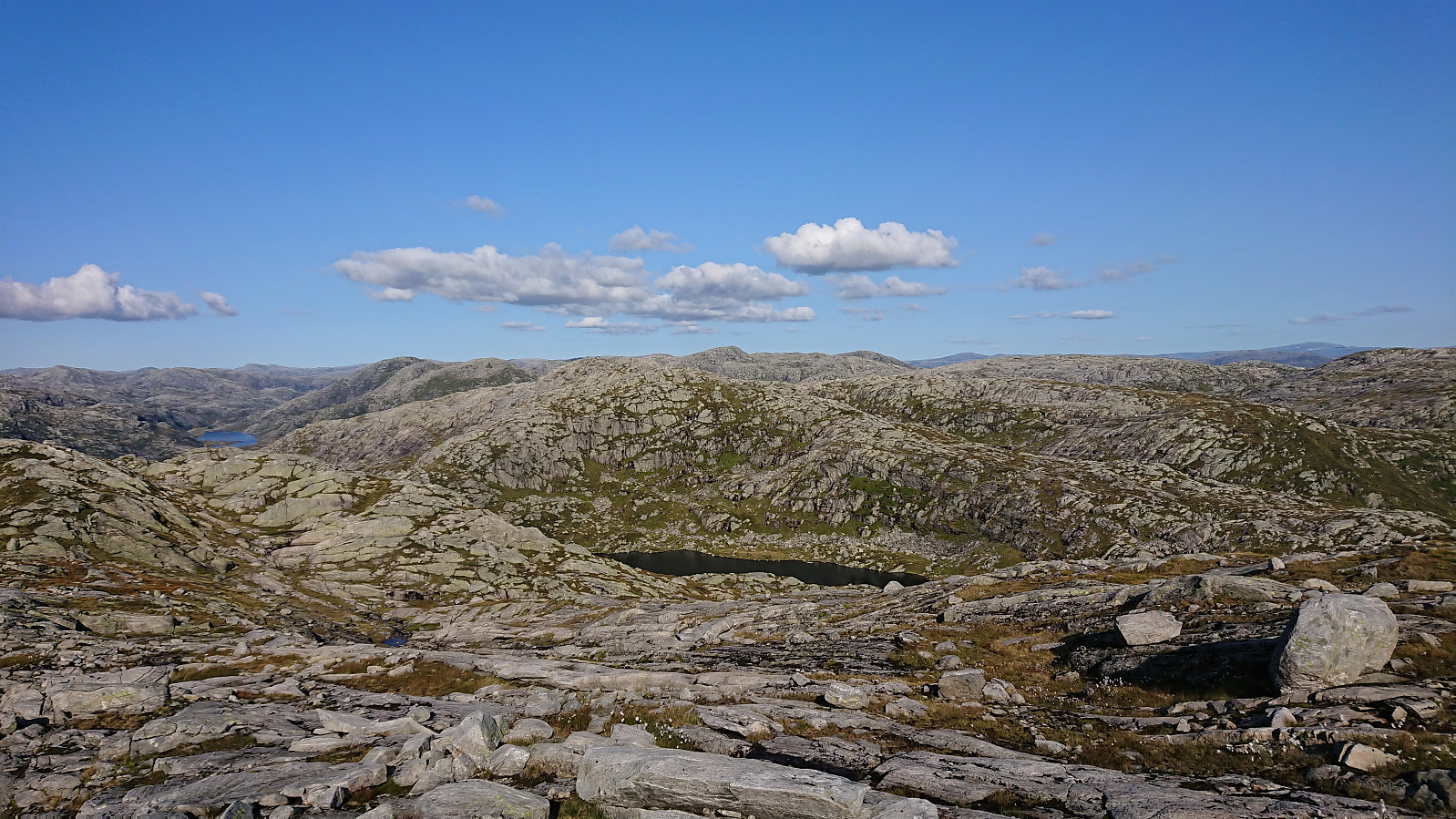
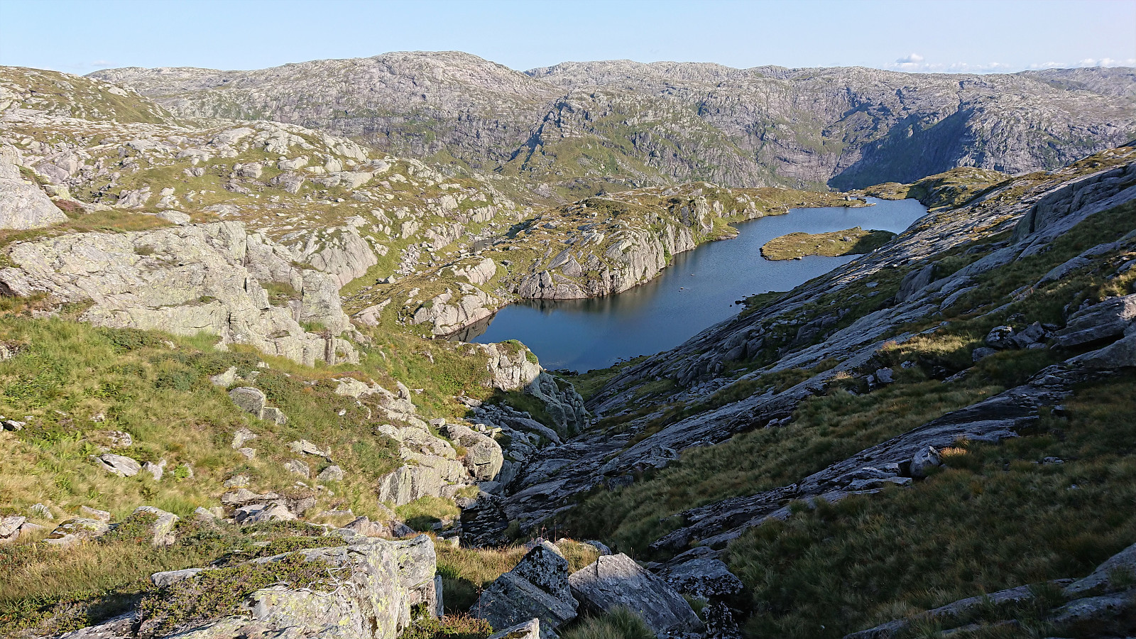
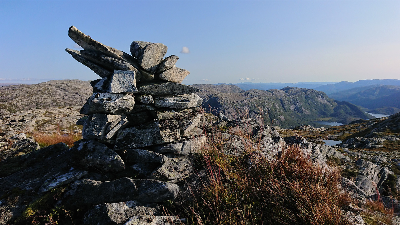
From Eggene I continued northeast in the direction of Godbotnsfjellet in terrain that presented no real challenges and the summit was reached without any difficulties at all, there were even a couple of cairns along the way. Godbotnsfjellet also provided excellent views and a good overview of the route towards my final goal of Geiteskardfjell. Here I deviated from the routes of gapahuken (Torbjørn Rygg Haugland) and knutsverre (Knut S. Andersen) by first descending east before ascending Geiteskardfjell via the ridge from the south.
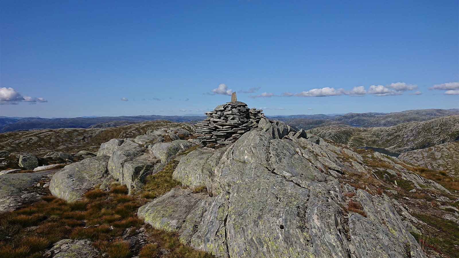
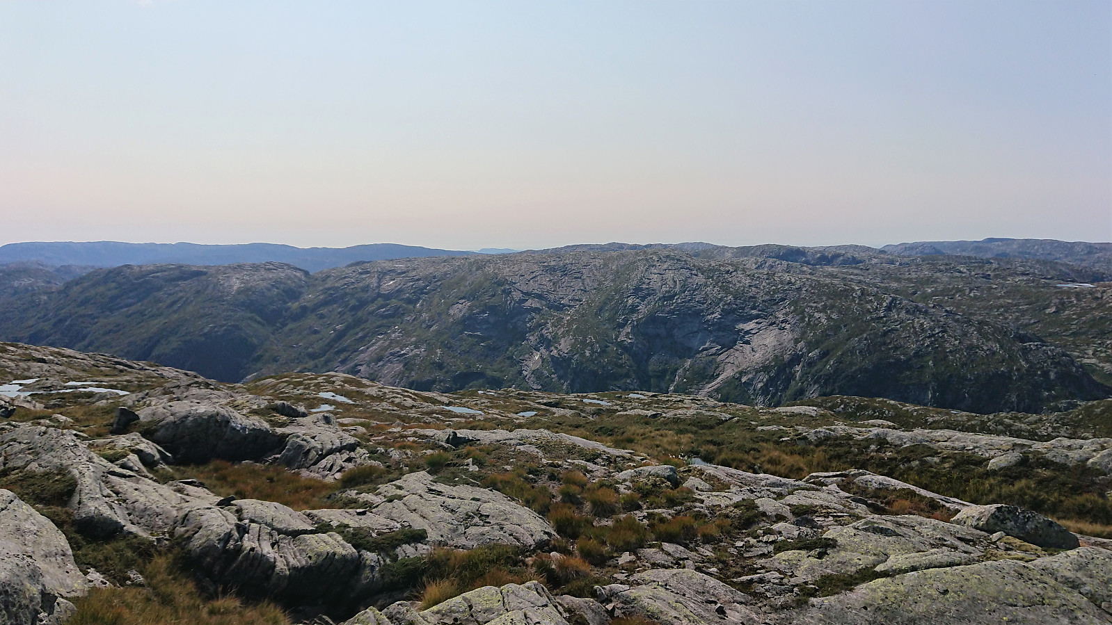
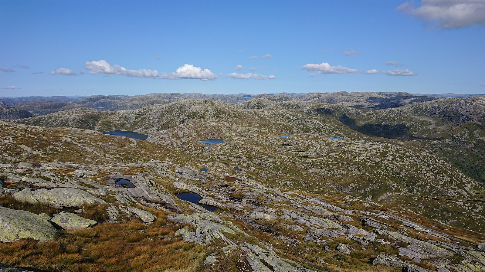
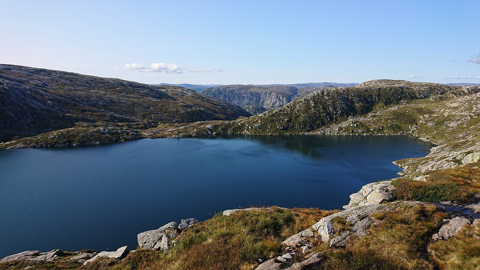
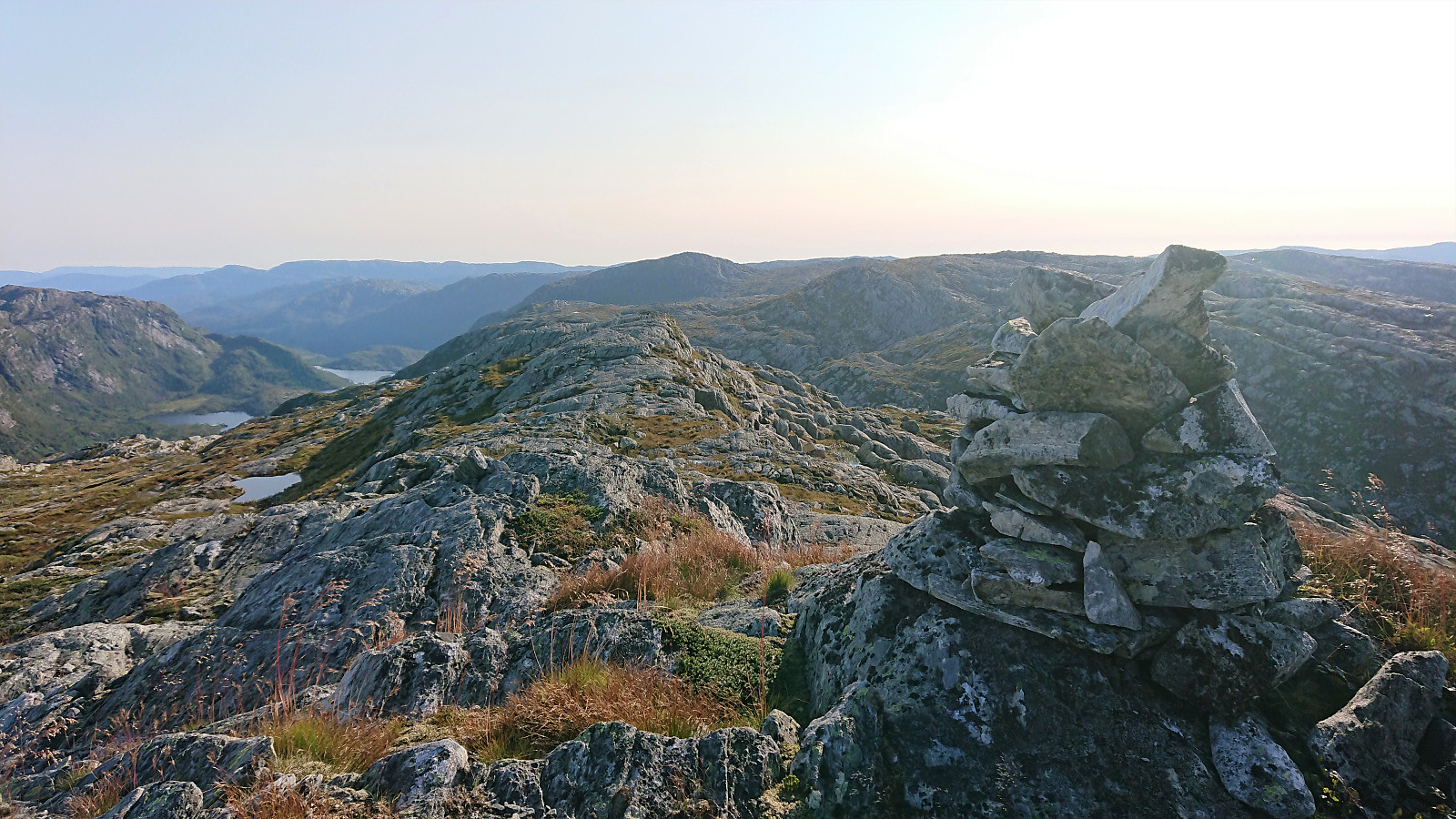
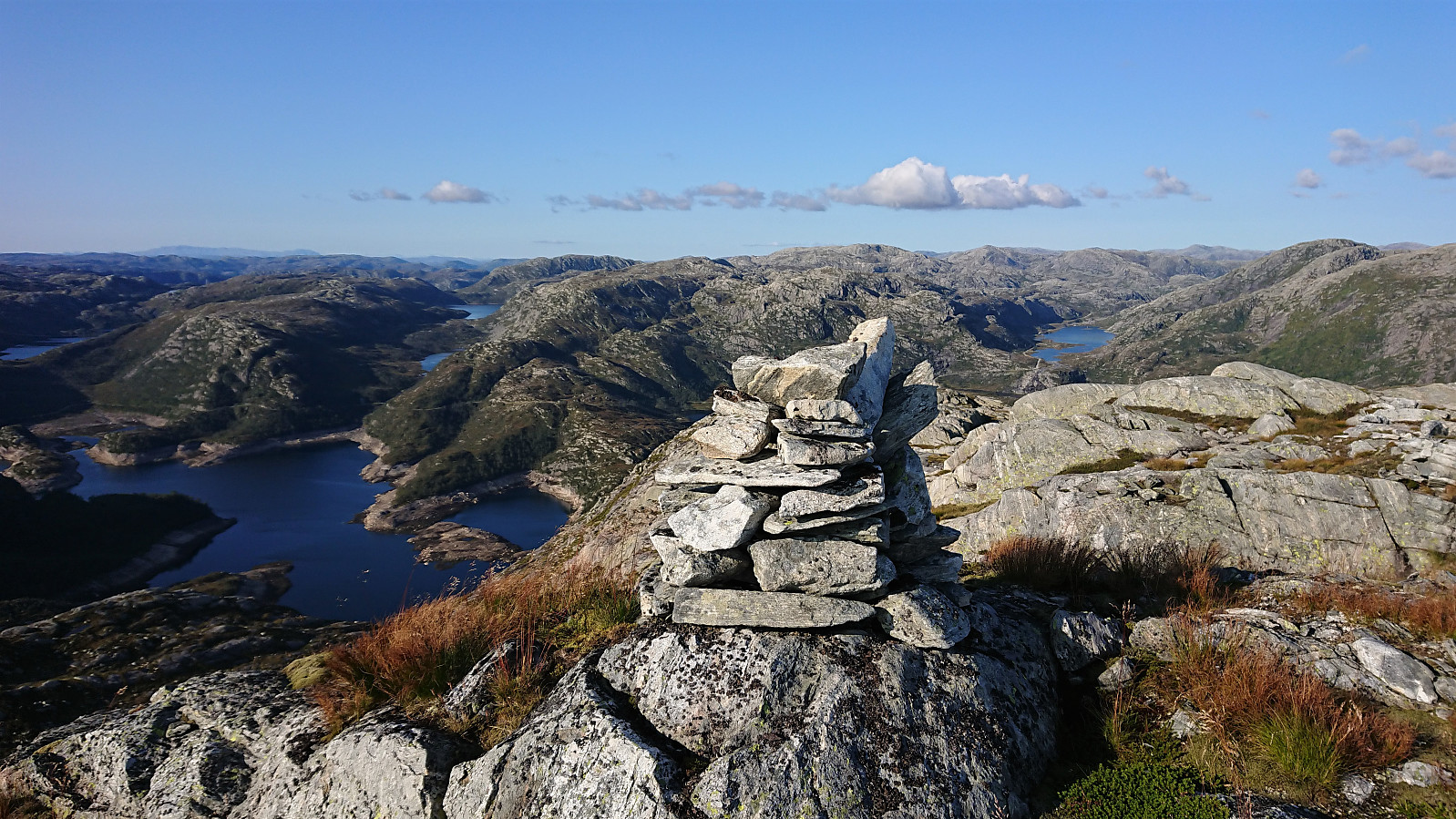
Whether my route is better or worse I am not sure. Perhaps it is slightly longer and includes going both up and down the same ridge (when later descending south to the marked trail) instead of a roundtrip, but it was easy to navigate and had no difficult sections. Similar to the previous two peaks, Geiteskardfjell also provided excellent views, especially across the lakes/dams to the north.
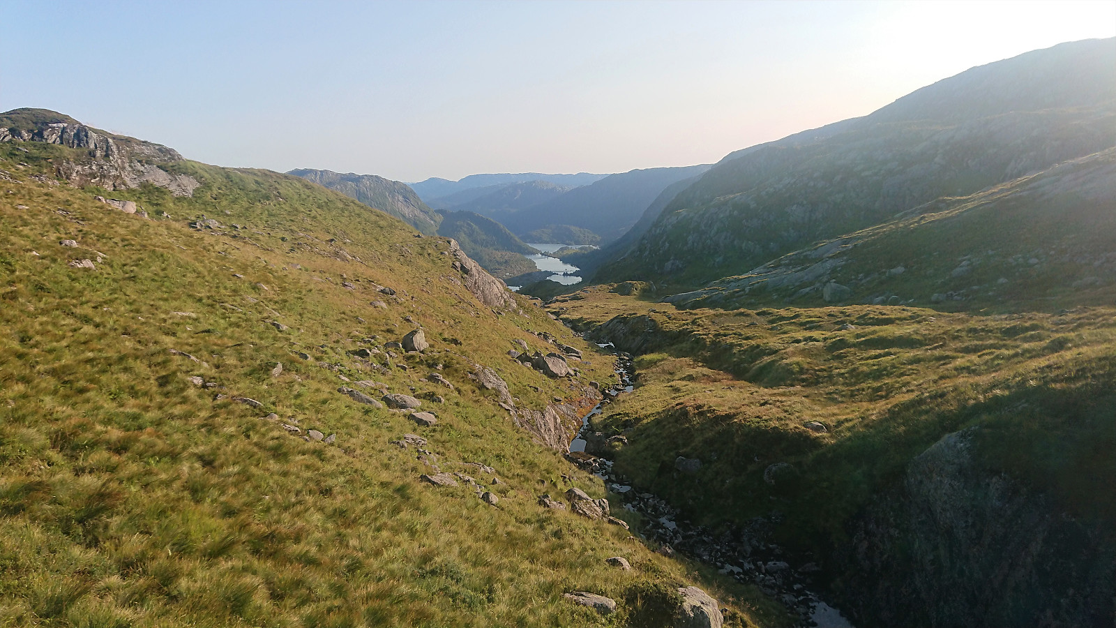
After another short break I headed south to connect with the marked trail to Dyrkolbotn. There were many similar options here with only a limited number of steeper areas to avoid, which was easily done by paying attention to the GPS. In the end, the marked trail was reached without any difficulties, and the only thing remaining was to follow the trail, and later road, back to the main road for the bus home to Bergen. And even though I tried to not move to fast, I still had more than half an hour to wait before the bus showed up (not helped by it being more than ten minutes late as well).
To conclude, an excellent hike with great views along the way that can be highly recommended to anyone comfortable with (mainly) off-trail hiking. The terrain is overall pretty easy to both navigate and traverse though, and despite what the steep initial ascent to Eggene may indicate, there is no climbing or even scrambling required.


| Starttidspunkt | 22.08.2021 13:48 (UTC+01:00 ST) |
| Sluttidspunkt | 22.08.2021 20:47 (UTC+01:00 ST) |
| Totaltid | 6t 58min |
| Bevegelsestid | 5t 42min |
| Pausetid | 1t 16min |
| Snittfart totalt | 2,4km/t |
| Snittfart bevegelsestid | 2,9km/t |
| Distanse | 16,5km |
| Høydemeter | 1022m |


Kommentarer