
Horn, Volafjellet and Tvarafjellet from Bulken (27.06.2021)

Skrevet av hbar (Harald Barsnes)

| Startsted | Bulken stasjon (52moh) |
|---|---|
| Sluttsted | Bulken E16 (60moh) |
| Turtype | Fjelltur |
| Turlengde | 10t 32min |
| Distanse | 37,2km |
| Høydemeter | 1904m |
| GPS |
|
| Bestigninger | Horn (1104moh) | 27.06.2021 |
|---|---|---|
| Tvarafjellet (1293moh) | 27.06.2021 | |
| Volafjellet (1327moh) | 27.06.2021 | |
| Andre besøkte PBE'er | Bomveg Væte - Tverrlii (250moh) | 27.06.2021 |
| Bulken stasjon (52moh) | 27.06.2021 | |
| Listred (660moh) | 27.06.2021 | |
| Tverrlii p-plass (470moh) | 27.06.2021 | |
| Varden på Horn (1067moh) | 27.06.2021 | |
| Volafjellet p-plass (453moh) | 27.06.2021 |
Horn, Volafjellet and Tvarafjellet from Bulken
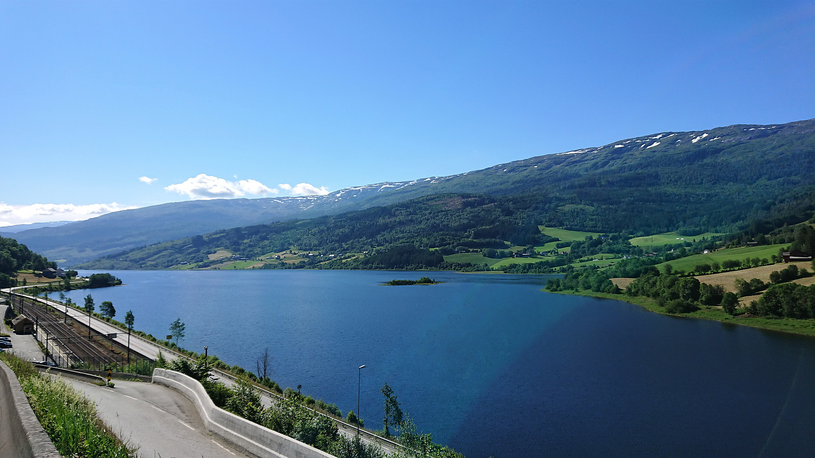
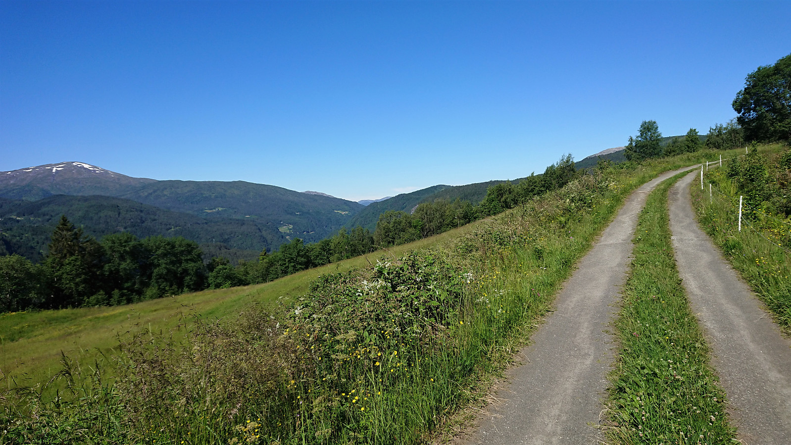
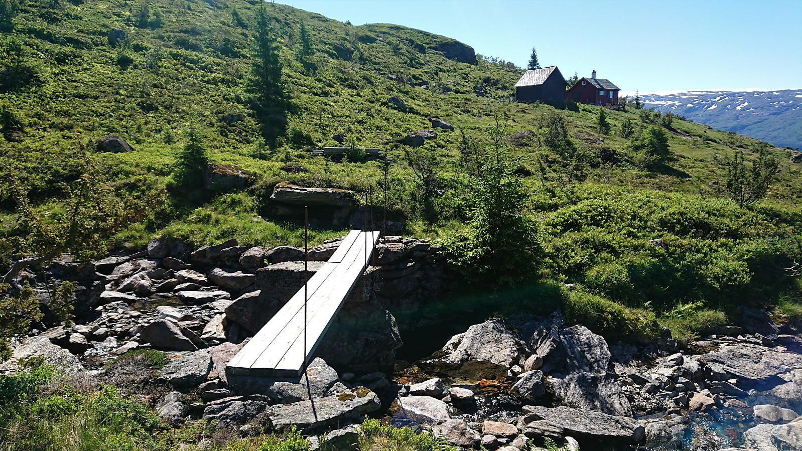

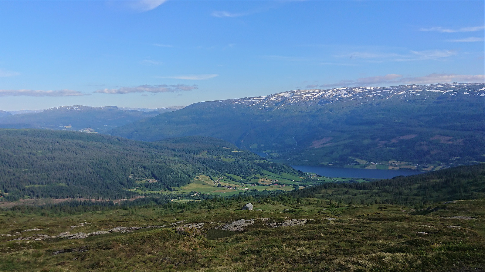
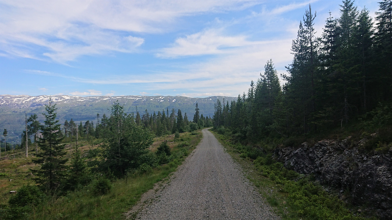
I started by taking the train to Bulken and from there following the paved and later gravel road up to Tverrlii p-plass. Here the road turned into a nice unmarked trail that brought me up to Listred. The map indicated a trail continuing north, but I did not see any traces of it. In any case, I crossed the river and instead headed off-trail towards Horn. Note that while I crossed south of the bridge, as there was very little water in the river, the bridge had been upgraded since Knut Sverre's visit more than five years ago when it was more of a "build you own bridge" concept. ;)
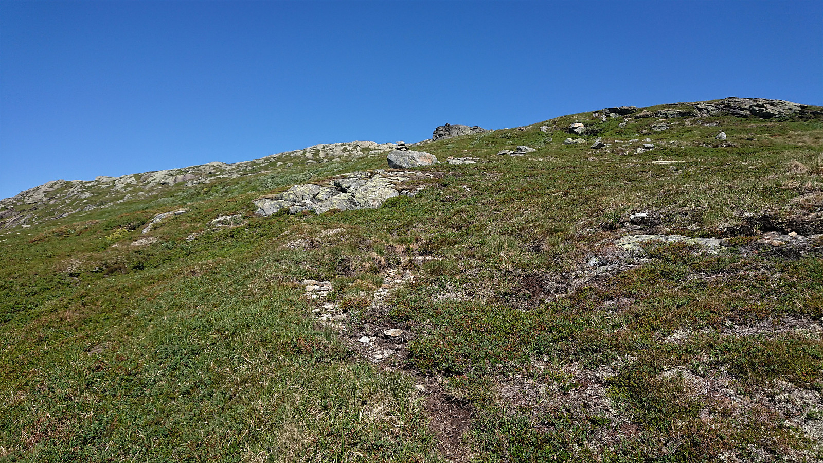
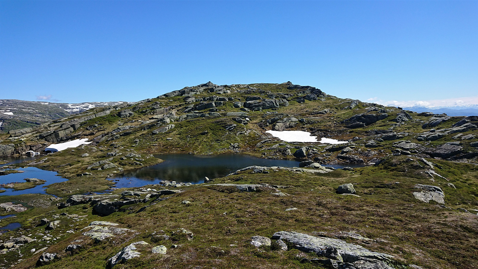
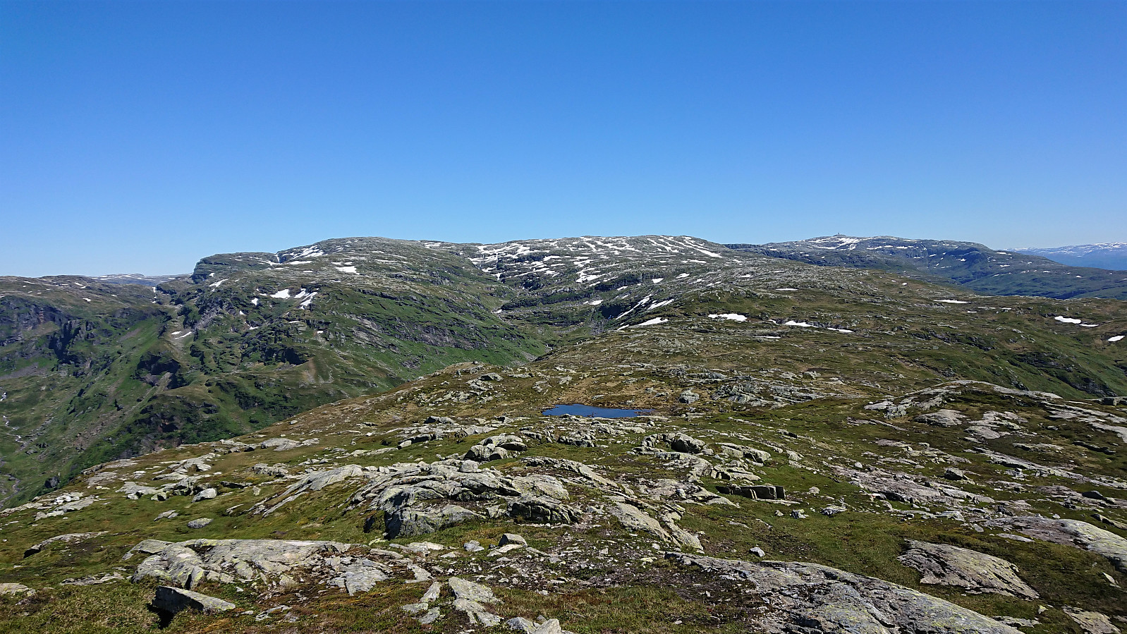
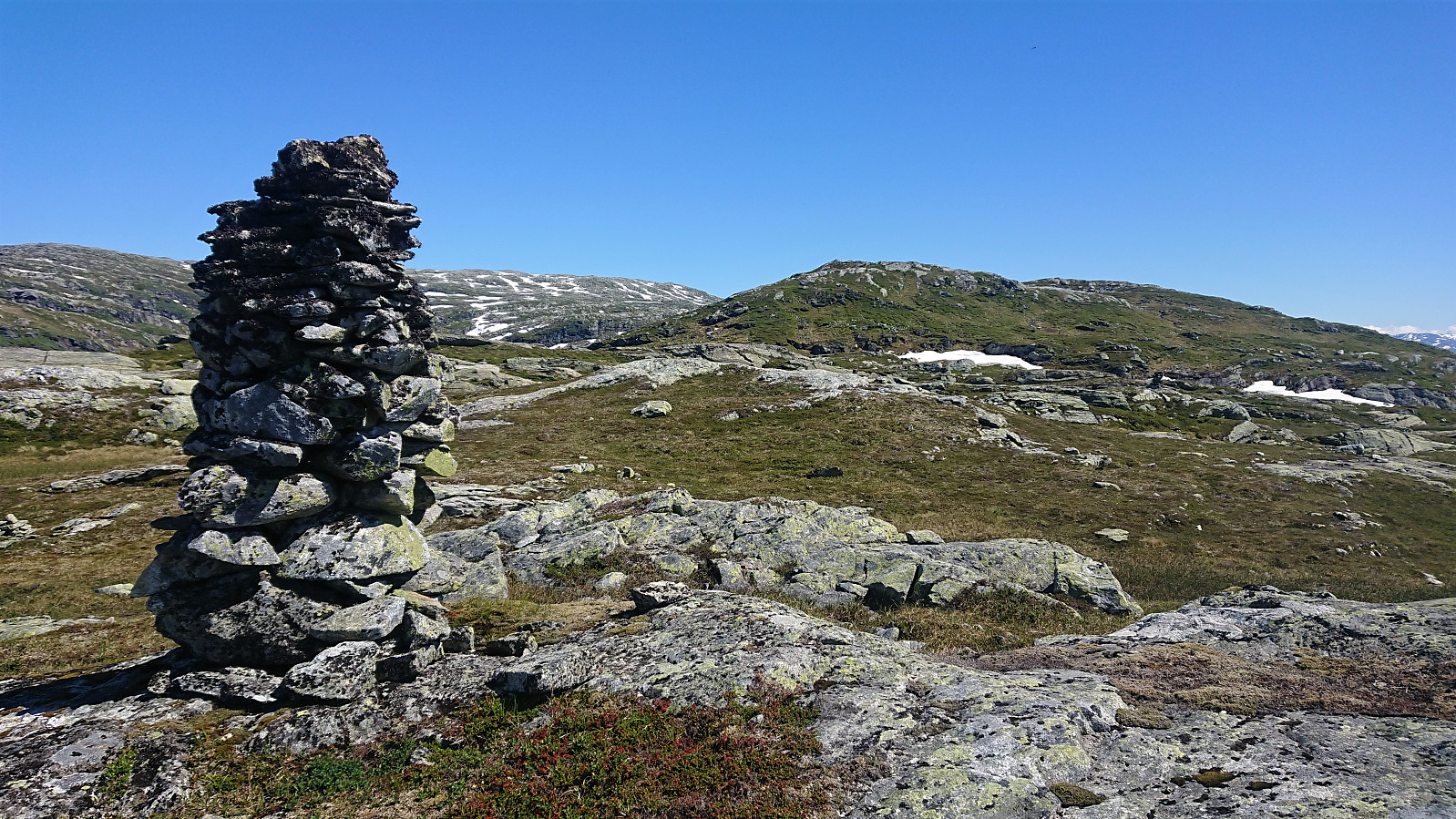
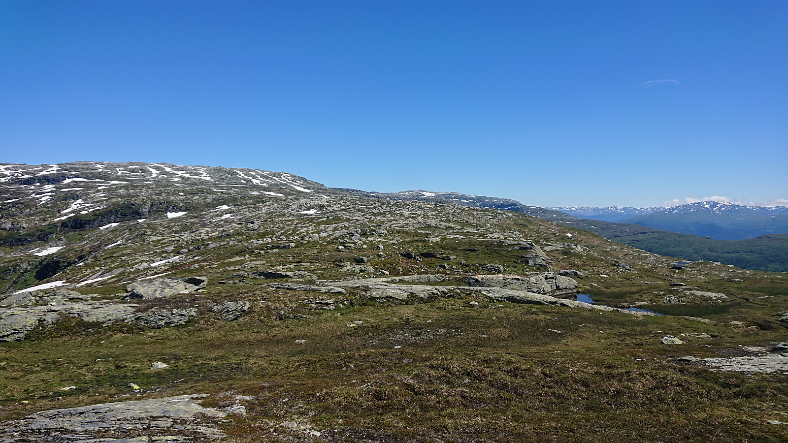
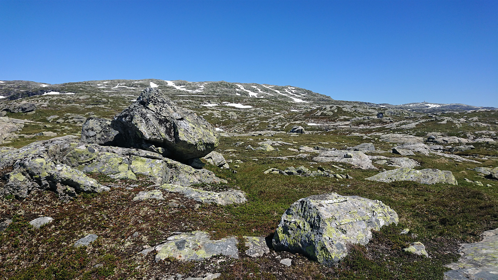
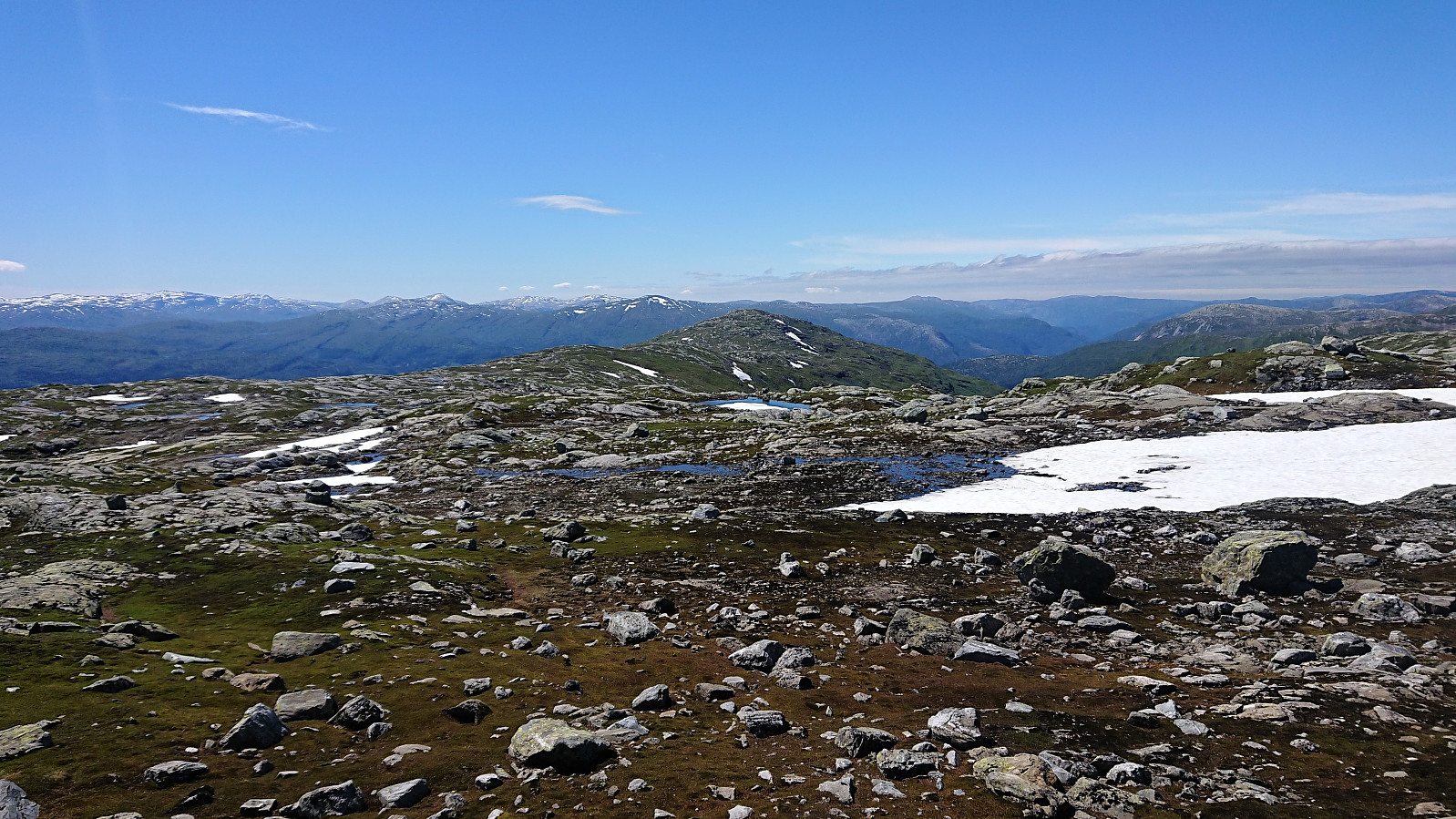
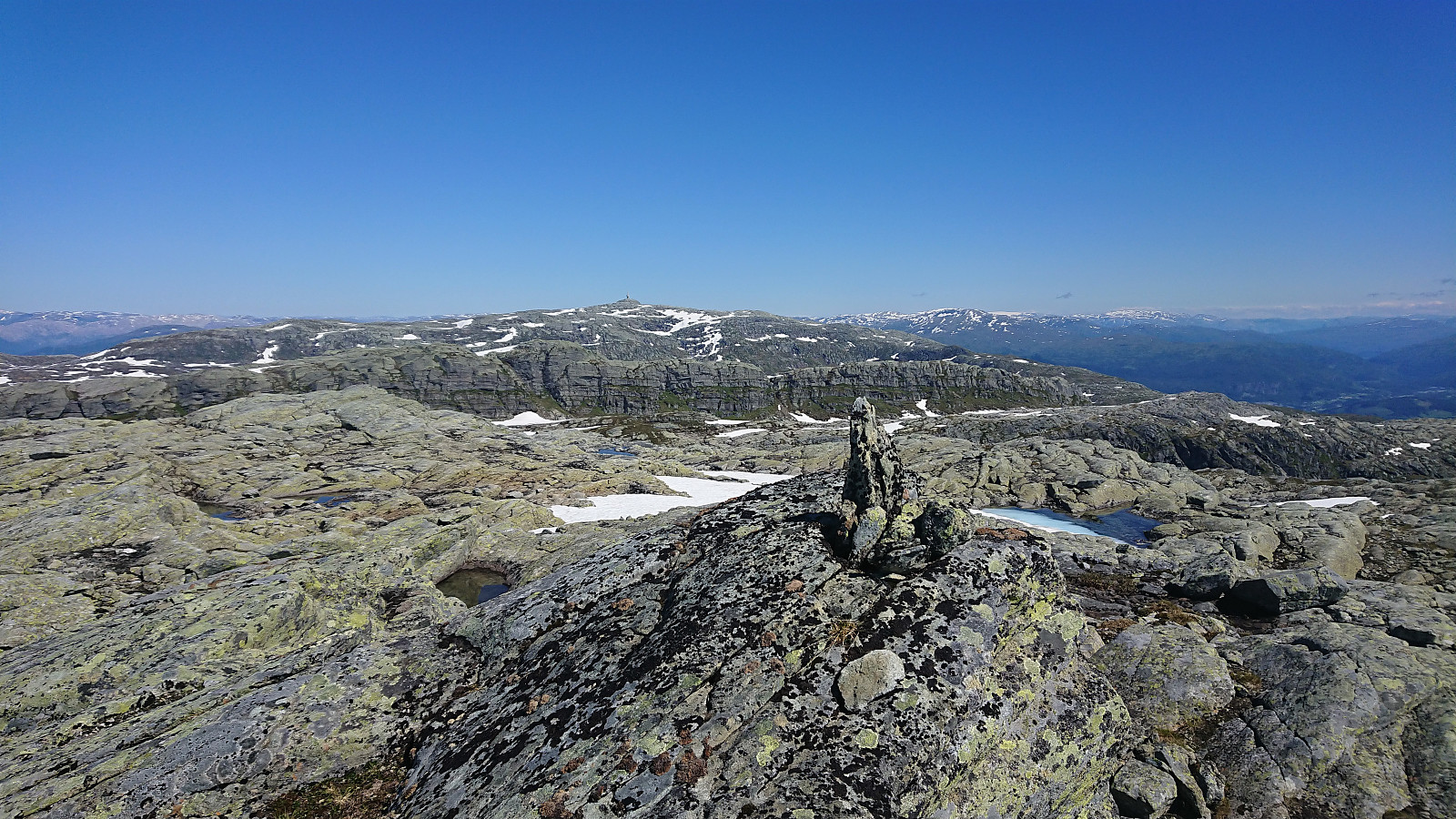
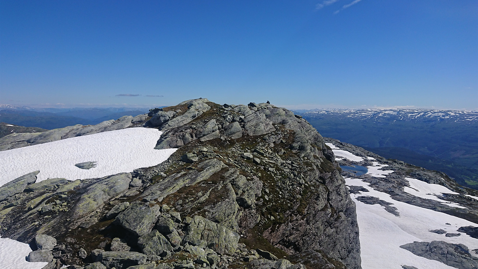
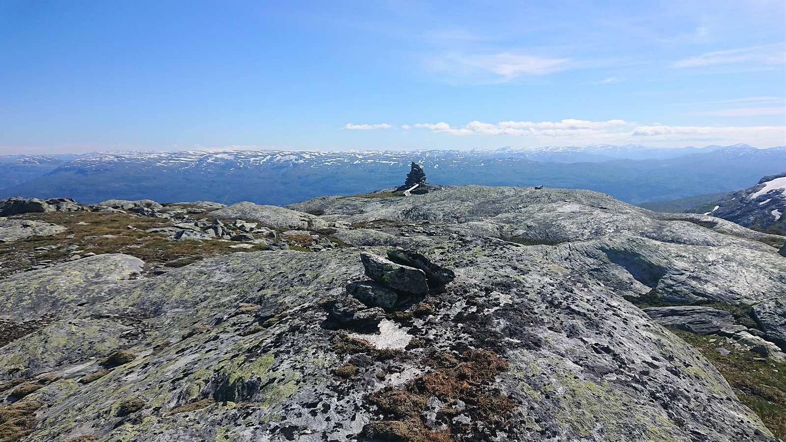
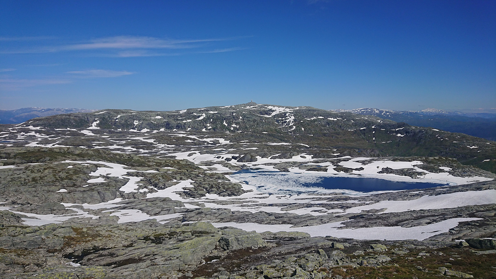
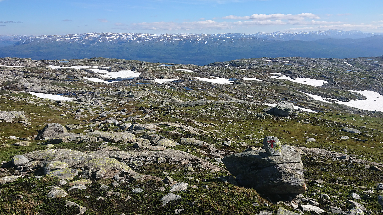
When getting closer to the summit I came across a weak trail marked with small cairns (maybe coming up from Vestbygdi/Nyestølen?), but it seemed to disappear when approaching the summit. Before heading to the summit, I made a quick visit of the large cairn to the west. Excellent views from both the cairn and the summit itself. After a short break, I continued northeast across Grønhaugen and Sledavarden in order to connect with the marked trail to Volahytta. No trails here that I could find, but the open and easy terrain made for good progress and the marked trail was reached without any issues.
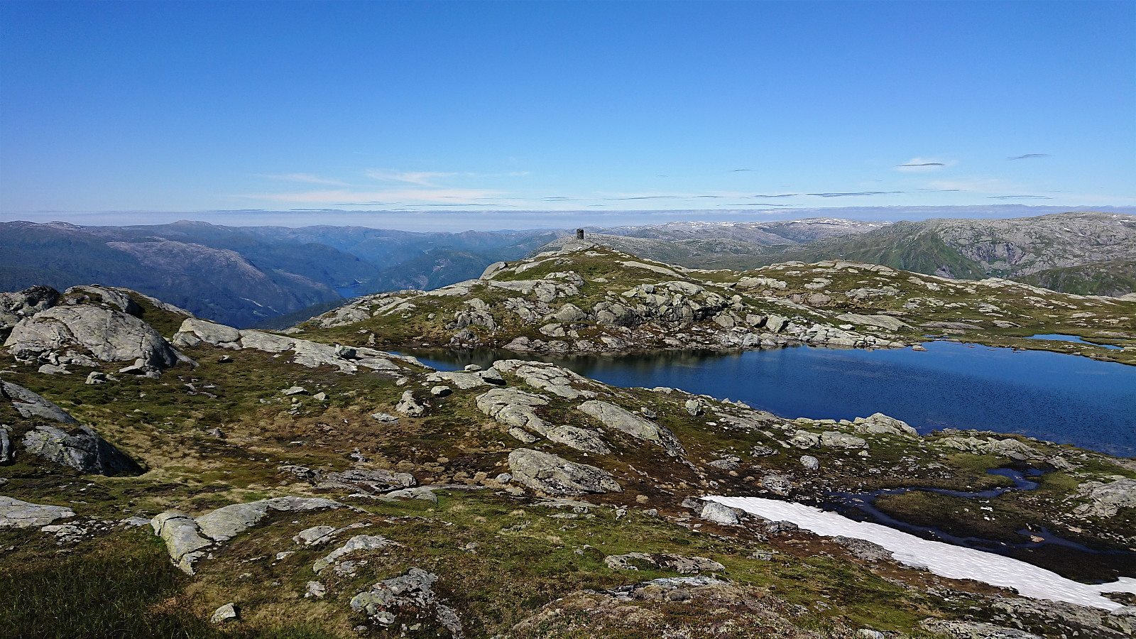
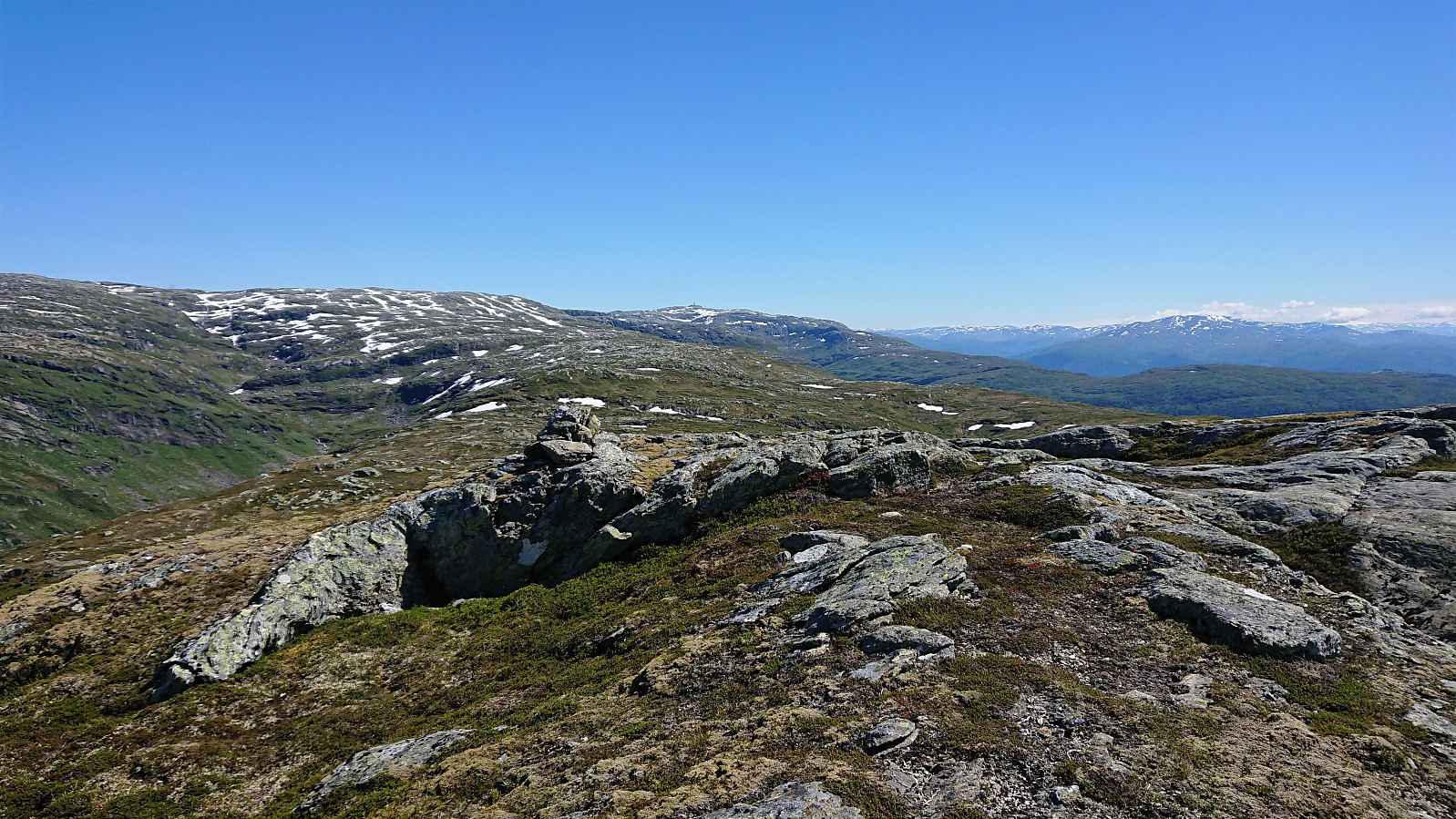
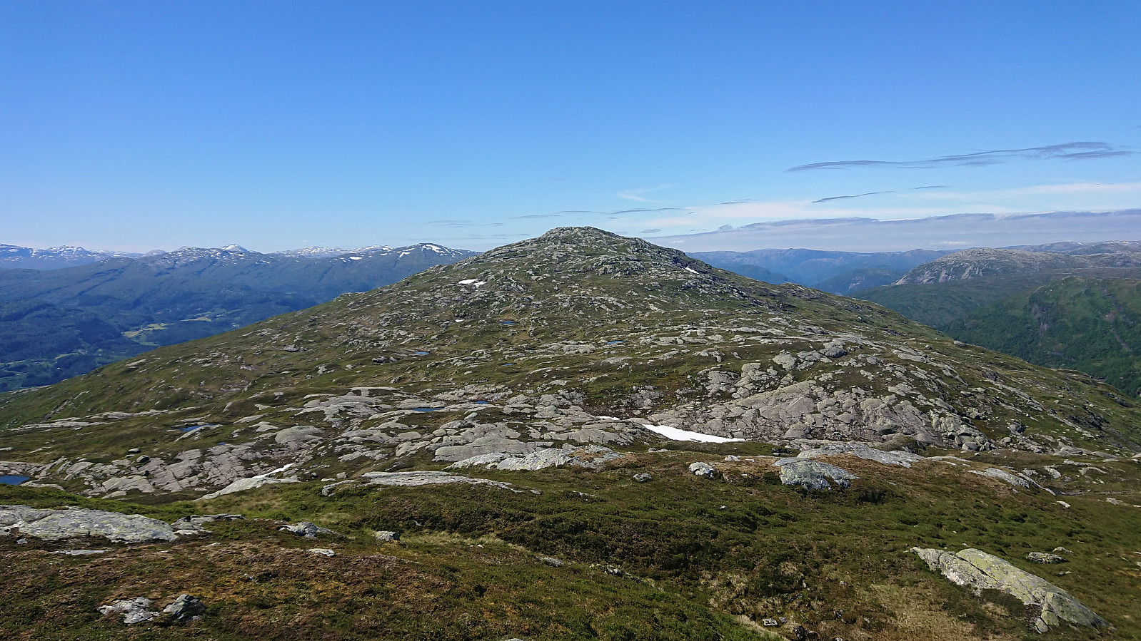
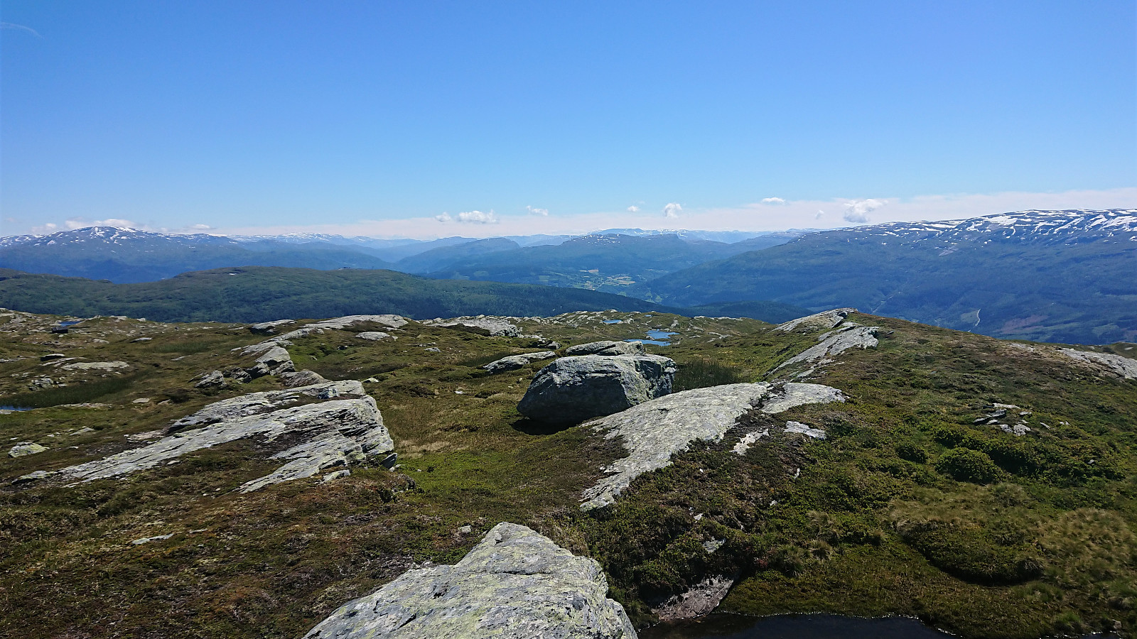
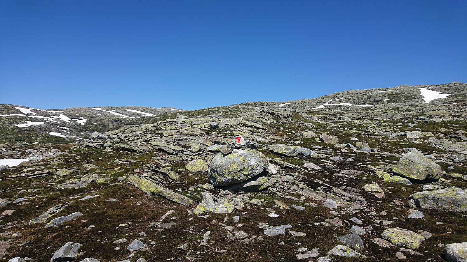
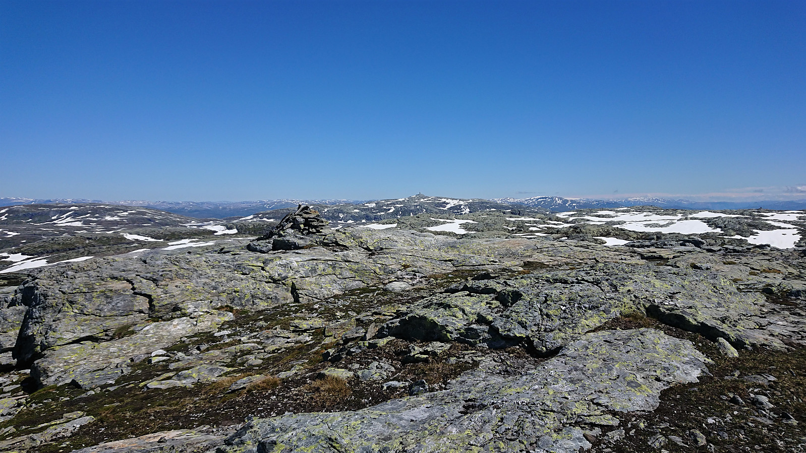
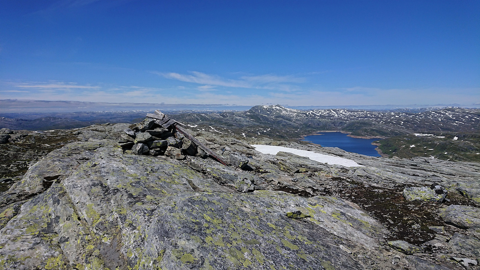
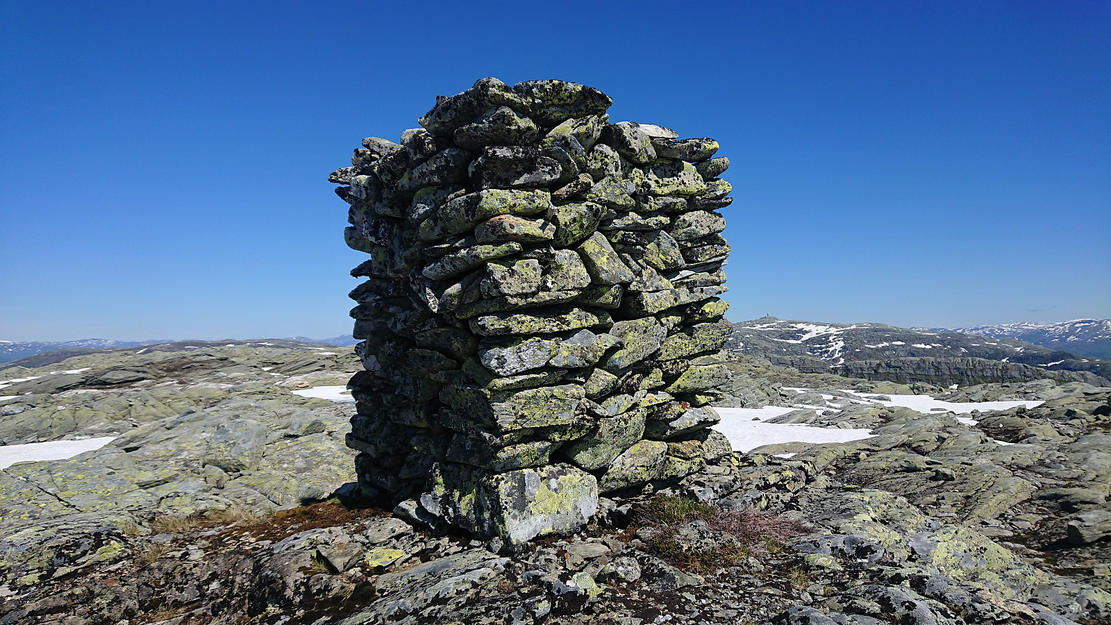
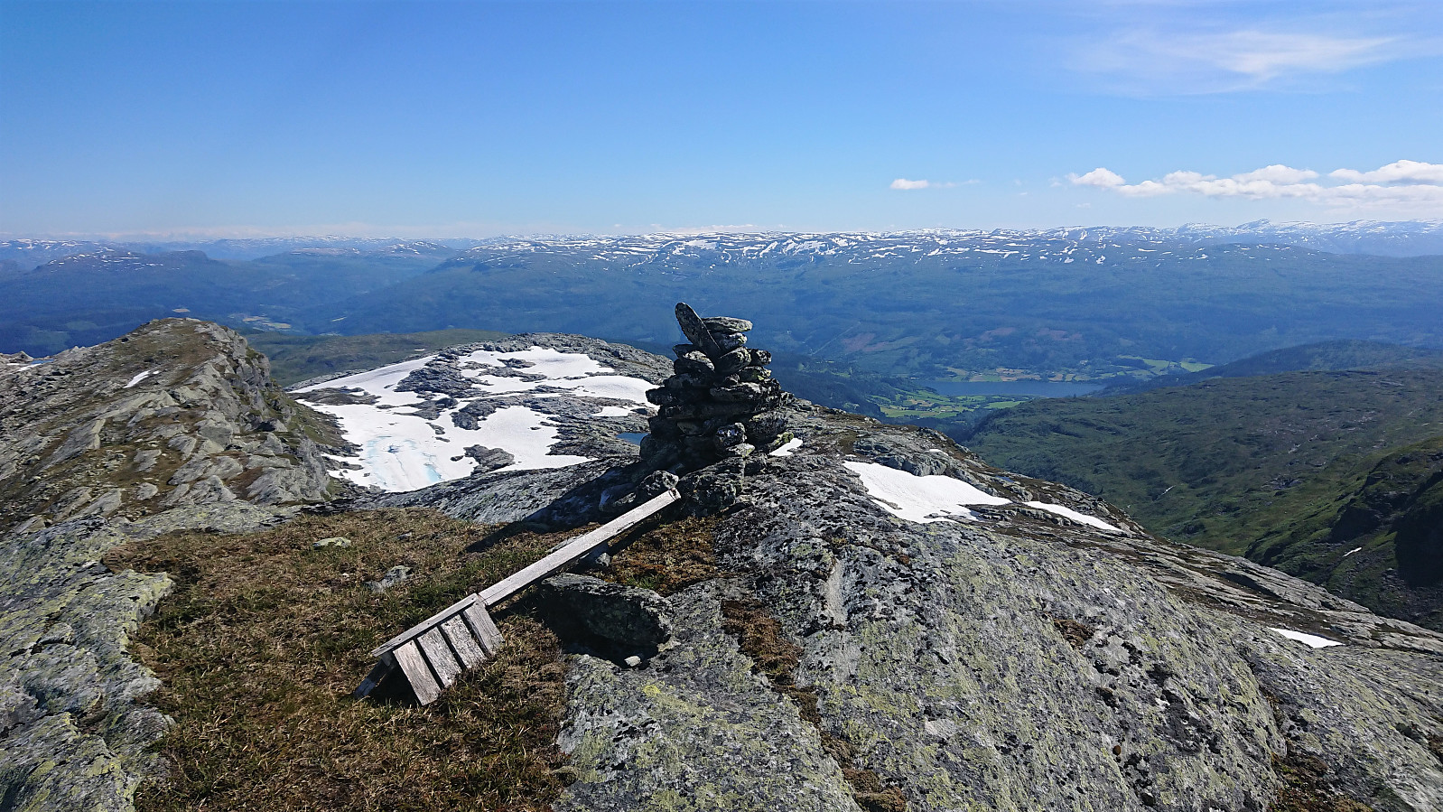
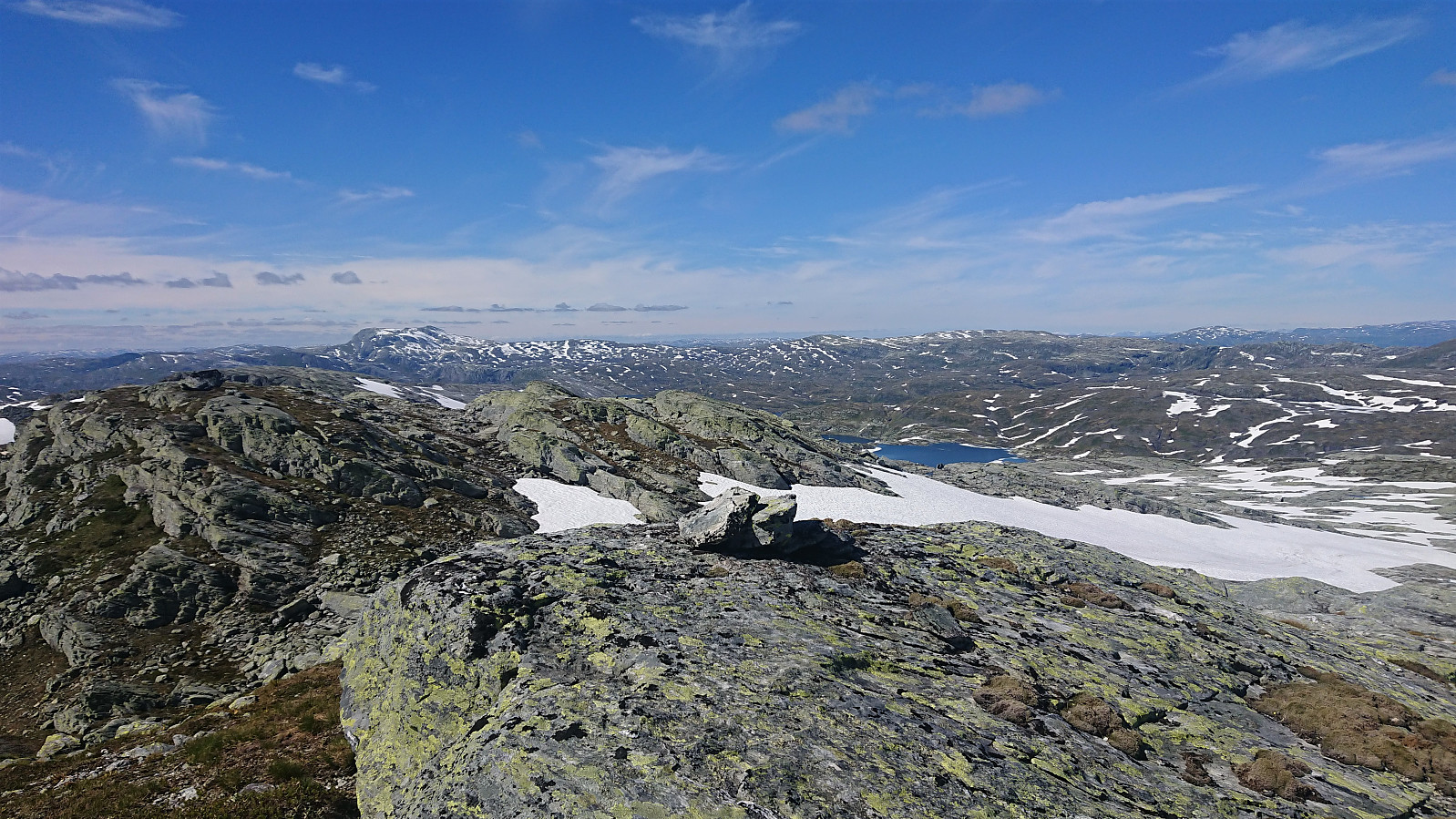
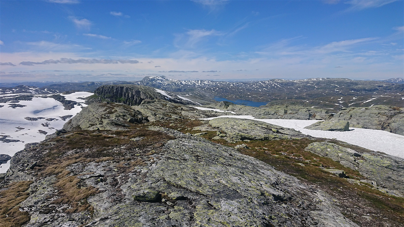
The trail was now marked with red T's, making it straightforward to get almost to the summit of Volafjellet, which only required a minor off-trail detour. The summit was thus reached without any difficulties. Perhaps except for making sure that none of the snow-covered areas I had to cross were hiding small lakes or streams. The summit itself was free of snow and provided an excellent panoramic view. After a short break, I decided to also include a visit of Tvarafjellet and thus headed east, passing by the unnamed southeastern 1308 and 1311 hills at Volafjellet on the way, the former of which had a large cairn.
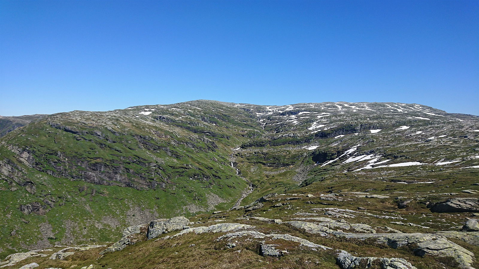
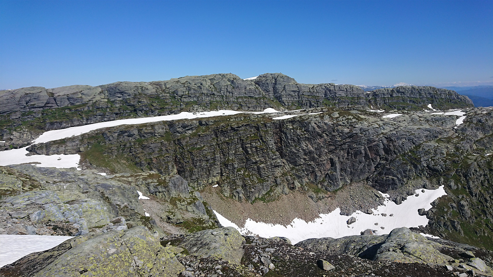
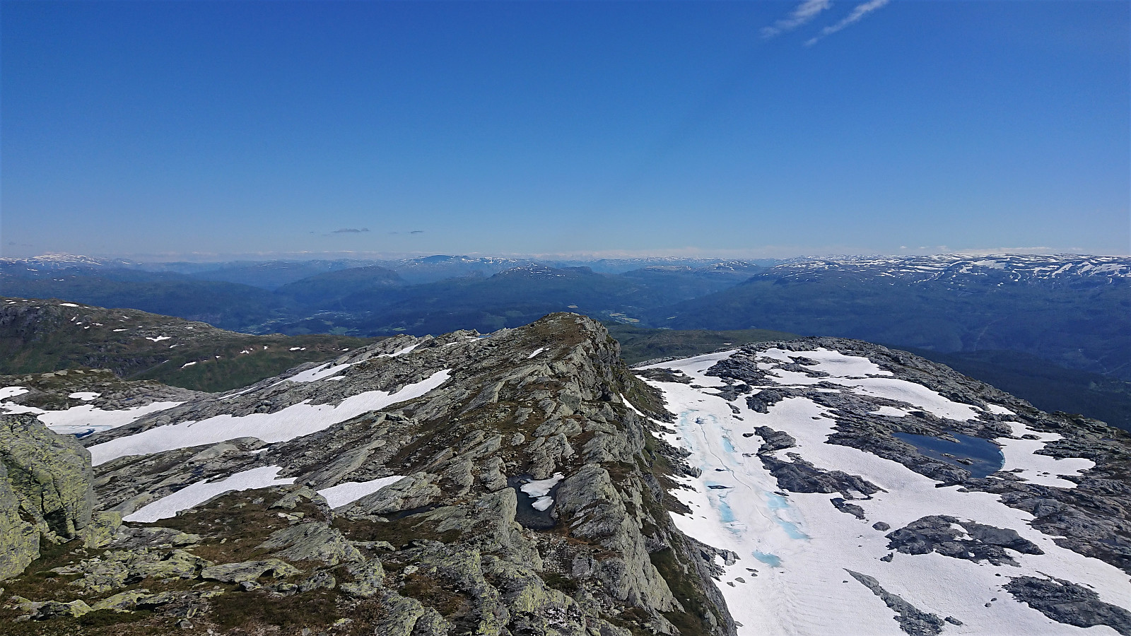
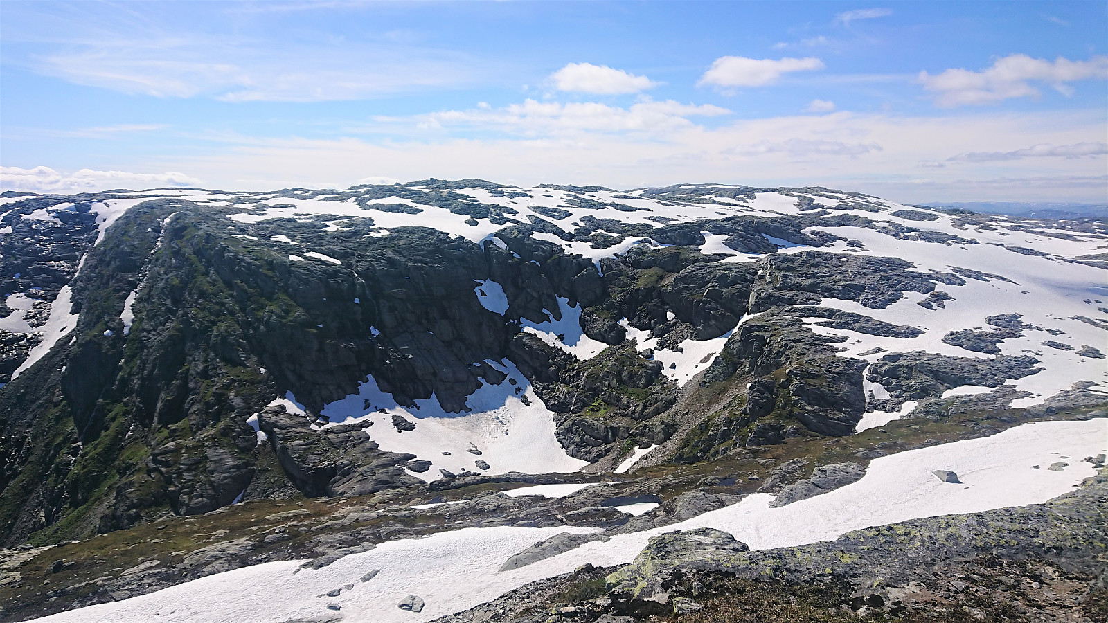
It quickly became apparent that I had perhaps underestimated the effort and time it would take me to get from Volafjellet to Tvarafjellet. The first part was relatively straightforward, although it did include its fair share of snow-covered areas and minor ups and downs. The latter was a different matter, as I soon got an excellent overview of the remaining challenge. A deep valley was now between me and the summit of Tvarafjellet, with the western side of Tvarafjellet consisting of a steep cliff.
I had seen from Runemb (Rune Blomberg)'s report that it should be possible to ascend via an opening in the cliff, but as I could not from a distance spot an ascent route that I was comfortable with, and with the ledge west of the summit being covered by snow, I instead went for the safe option of making a small detour and ascend from the north.
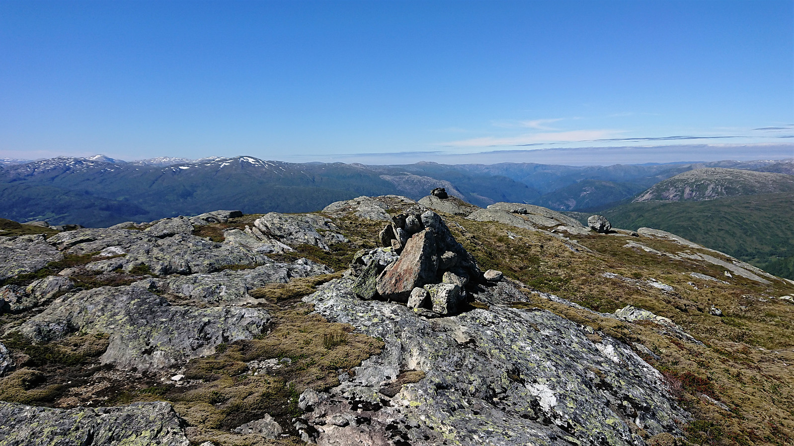
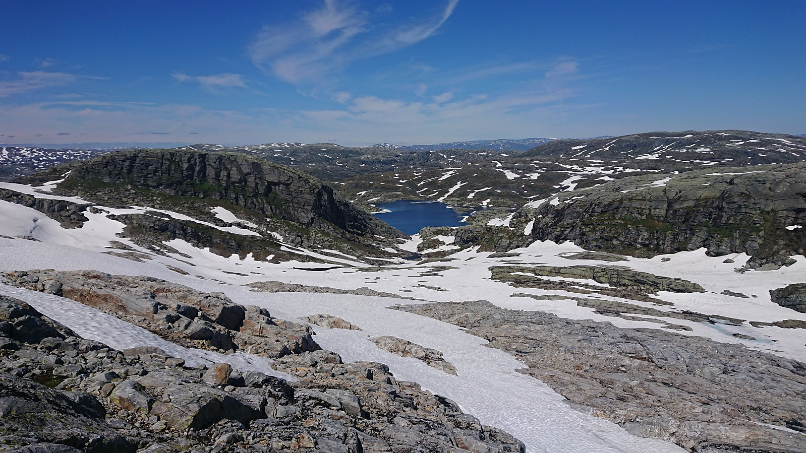
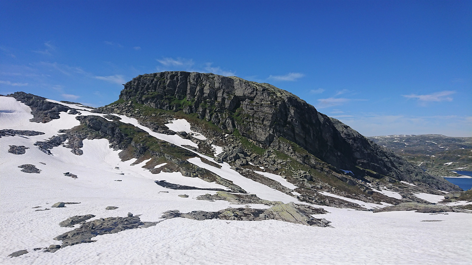
Making it down into the valley east of Tvarafjellet called Helleskaret was relatively straightforward as soon as I made sure to first head far enough north. My first attempt at ascending Tvarafjellet from the north however had to be abandoned, as I quickly reached a steep snow barrier with slippery wet rocks leading up to it. But by being a bit more patient and heading further east, I found an easy route that did not require any climbing at all. From there the summit could be reached without any difficulties.
After a short break, I returned along the same route to the 1308 and 1311 hills at Volafjellet, from where I made a shortcut to reconnect with the marked trail. Upon reaching the trail I started looking into the possible transportation options back to Bergen and quickly realized that I really only had two options: either the train from Bulken in less than two hours or the bus from just west of the train station in about 2.5 hours.
I decided to have a go at catching the train, but after a while I had to conclude that I would not make it. I could therefore take it a bit slower and in the end made it to the bus stop at Bulken with around 15 minutes to spare. The bus ride however ended up being almost one hour longer than planned due to slow-moving traffic all the way from Vaksdal to Arna...
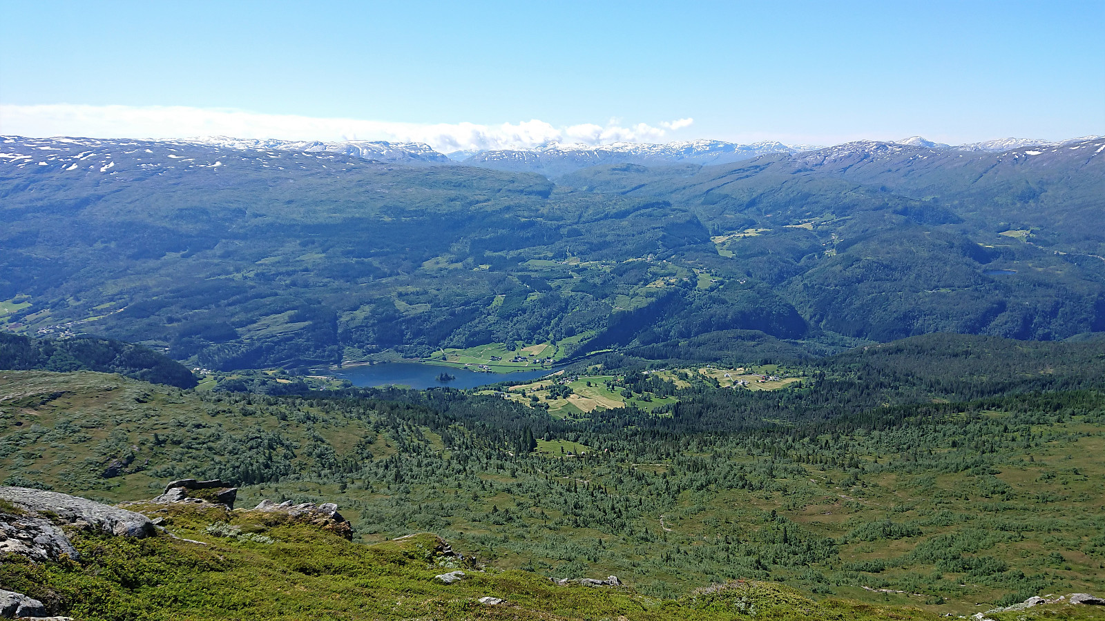
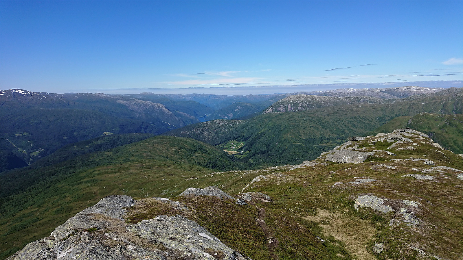
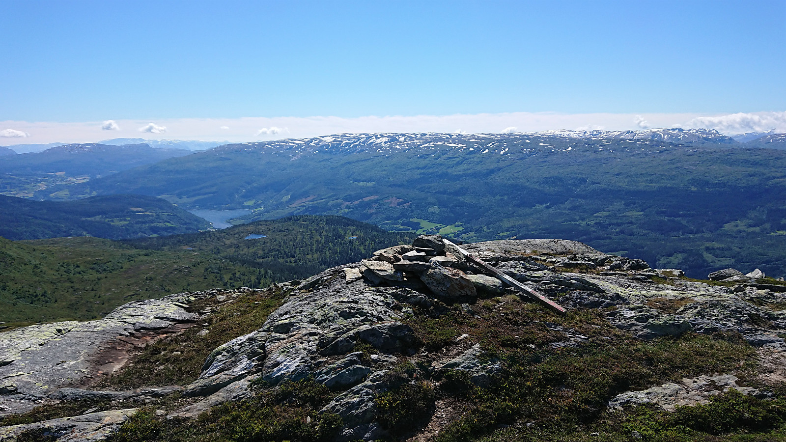
In summary, a long but excellent hike in an interesting area that probably does not see a lot of hikers, maybe with the exception of the marked trail to/from Volahytta. I did not see or meet any other hikers for the whole hike. Both Horn and Volafjellet can be accessed without any difficulties, while Tvarafjellet is perhaps a bit more challenging, although it too can be safely ascended if done from the north.
| Starttidspunkt | 27.06.2021 09:48 (UTC+01:00 ST) |
| Sluttidspunkt | 27.06.2021 20:21 (UTC+01:00 ST) |
| Totaltid | 10t 32min |
| Bevegelsestid | 9t 43min |
| Pausetid | 0t 48min |
| Snittfart totalt | 3,5km/t |
| Snittfart bevegelsestid | 3,8km/t |
| Distanse | 37,2km |
| Høydemeter | 1904m |


Kommentarer