
Crossing Midtfjellet and Lørdagsknausen (01.04.2021)

Written by HHauser (Helwig Hauser)

| Start point | Skuteviken (5m) |
|---|---|
| Endpoint | Lars Hillesgate (5m) |
| Characteristic | Hike |
| Duration | 5h 00min |
| Distance | 14.6km |
| Vertical meters | 791m |
| GPS |
|
| Ascents | Blåmanen Nord (561m) | 01.04.2021 |
|---|---|---|
| Blåmanen Vest (552m) | 01.04.2021 | |
| Blåmanen Øst (554m) | 01.04.2021 | |
| Lørdagsknausen (440m) | 01.04.2021 | |
| Søre Midtfjellet (450m) | 01.04.2021 | |
| Nordre Midtfjellet (450m) | 01.04.2021 | |
| Torrfjellet (363m) | 01.04.2021 | |
| Visits of other PBEs | Blåmansveien utsiktspunkt (440m) | 01.04.2021 |
| Brannmannshytten (ruin) (448m) | 01.04.2021 | |
| Bryggen i Bergen (1m) | 01.04.2021 | |
| Fjellhytten (448m) | 01.04.2021 | |
| Fløypilen (299m) | 01.04.2021 | |
| Granbakketårnet (355m) | 01.04.2021 | |
| Kveldsol (tuft), Søre Midtfjellet (406m) | 01.04.2021 | |
| Skomakerstuen (320m) | 01.04.2021 | |
| Skreddersteinen (169m) | 01.04.2021 | |
| Søre Midtfjellet utsiktspunkt (440m) | 01.04.2021 | |
| Trollbu, Skomakerdiket (320m) | 01.04.2021 | |
| Utsiktspunkt ovenfor Skomakerdalen (436m) | 01.04.2021 |
Trip Summary
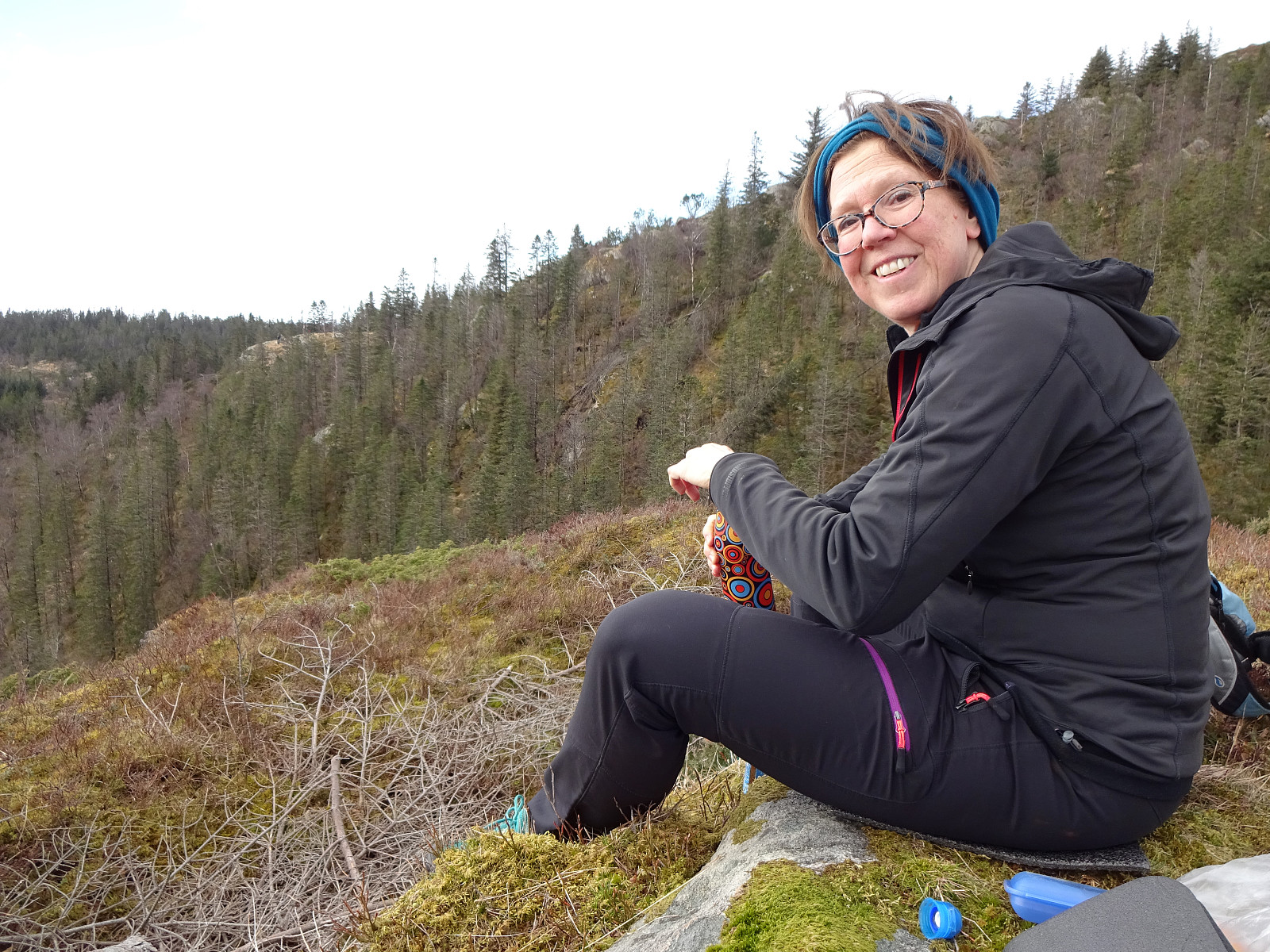
The idea was to cross Midtfjellet, between Fløyen and Rundemanen, from north to south. We took a bus to Skuteviken and walked up towards Mulen from there. Instead of stepping up to the dam on the north side of the valley, where the main route is, we went up on the Breistølen side, passing by the little water reservoir at Mulen on its southern side. Once on its eastern side, in the lower parts of Skredderdalen, we crossed the little stream and connected with the main route. Following this main path upwards (it's steep there, but a common trail, nonetheless), we came to Nedrediket and "road" Byfjellene there. Crossing the little dam on the northwestern side of Nedrediket, we continued our way upwards until we were right next to the northern end of Nordre Midtfjellet. To get there, we left the main path, descending to the little stream that flows into Nedrediket from there, crossed it, and started the steep, but well possible ascent to Nordre Midtfjellet (without a trail, where we got up). Soon after, we came over the tree line at Midtfjellet and started to enjoy a number of nice views towards Byfjorden, the mountains in the west of Bergen, et cetera. Crossing Midtfjellet then north to south was straight forward and very easy (and enjoyable). Once back "down" on "road" Byfjellene, we decided to continue towards Søre Midtfjellet and cabin Fjellhytten there (instead of plowing through the masses on "Byfjellene"). From Fjellhytten, we then used a trail into the direction of Blåmanen. Before actually reconnecting with the main trail, there, however, we found a little used "trail" that surrounds the mountain ridge a little further down, leading towards Lørdagsknausen. This little micro-top is easy to overlook, but offers excellent views over Svartediket and also towards Ulriken. So even though it's really minor, a visit there is in fact recommended. After a little break at Lørdagsknausen, we continued upwards to Blåmanen. After a short round on Blåmanen, we were soon on our way back down, again into the direction of Søre Midtfjellet. From Søre Midtfjellet, we then descended further in western direction, before turning right (into northern direction) at Langetoen. Passing by Granbakketårnet, we surrounded Skomakerdiket, before continuing further towards Fløyen. On our way there, we crossed Torrfjellet, also, just to learn that it's really not necessary to get "up" there. From there, it was then just back down and to a suitable bus station. All in all, this idea of crossing Midtfjellet, combined with our short excursion to Lørdagsknausen, was nice and satisfying.
Photos
Selected photos are available as Google photo album.
Useful Resources
See also the related FB-page Hiking around Bergen, Norway.


User comments