
Hetlebakksåta and Erviknipa from Breistein (28.02.2021)

Written by HHauser (Helwig Hauser)

| Start point | Breistein (20m) |
|---|---|
| Endpoint | Breistein (20m) |
| Characteristic | Hike |
| Duration | 2h 30min |
| Distance | 7.2km |
| Vertical meters | 419m |
| GPS |
|
| Ascents | Breisteinsåta (334m) | 28.02.2021 |
|---|---|---|
| Erviknipa (268m) | 28.02.2021 | |
| Hetlebakksåta (334m) | 28.02.2021 | |
| Svartafjellet (265m) | 28.02.2021 | |
| Visits of other PBEs | Liafjellet (221m) | 28.02.2021 |
Trip Summary
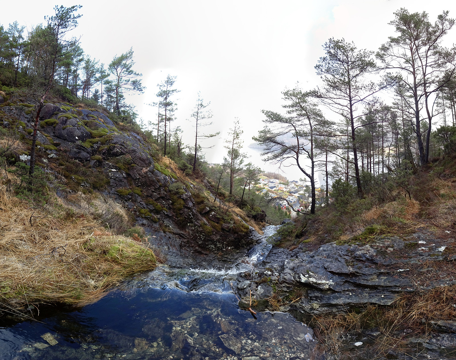
We somehow thought that it may be worthwhile to explore the ridge in the south of Erviknipa, southeast of Hetlebakksåta. We drove to Breistein via Åsane and parked quite a bit south on Breisteinvegen. According to our plan to hike a round, we first walked northwards (towards Nygård) to find an opportunity for ascending to Hetlebakksåta. When looking at the map before leaving, we had estimated that it should be possible to ascend towards Fosseskaret there and indeed this is well possible from Nygård (the "trails" up there are not very clear, but possible to find and certainly also possible to ascend, just a bit steep). At about 130mosl, we entered the little valley that comes down from Fosseskaret, right where there is a little waterfall down towards Breistein. At Fosseskaret, instead of following the main trail up to Hetlebakksåta, we crossed over the valley (in southern direction) and continued across the eastern ridge upwards. Soon we arrived at the eastern top of Hetlebakksåta. After enjoying the views from up there for a moment, we continued to the other, western "peak" of Hetlebakksåta. From there, our next goal was Erviknipa, but before actually going there, we first included Svartafjellet, hoping for some nice views in western direction (across Hetlebakkstemma). Once there, we quickly understood that naming this spot Svartafjellet must have required quite a bit of motivation as really this place isn't much worth a visit. Thus, we quickly continued, now eastwards in order to connect to Erviknipa. The southern slopes of Hetlebakksåta are a tiny little bit steep and since it was wet, also, we paid a bit of attention to finding a good traverse towards Erviknipa (not difficult, after all). After crossing Ervikskaret, we made the short ascent to Erviknipa, where we enjoyed a littel snack while looking over Sørfjorden towards Osterøy. We then followed the ridge in the southeast of Erviknipa to Liafjellet, passing by a number of signs with extensive information about who sponsored which piece of trail-improvement up there. From Liafjellet, we then had a good view down towards the rather large quarry at Furhaugane. We then descended towards Sørfjorden, passing by Torvastallen. At about 60mosl, we joined a forest trail that brought us back to Breistein kind of parallel to the Fjord. All in all, this hike was nicely satisfying, even if no high mountains were included.
Photos
Selected photos are available as Google photo album.
Useful Resources
See also the related FB-page Hiking around Bergen, Norway.
Petter Bjørstad has a useful page about Hetlebakksåta and also web page WestCoastPeaks.com provides useful information about Hetlebakksåta.
Web page UT.no from the Norwegian Trekking Association recommends a similar hike.


User comments