
Skjønhammaren (31.07.2020)

Written by hbar (Harald Barsnes)

| Start point | Huglo natursti (51m) |
|---|---|
| Endpoint | Huglo natursti (51m) |
| Characteristic | Hillwalk |
| Duration | 0h 34min |
| Distance | 0.9km |
| Vertical meters | 59m |
| GPS |
|
| Ascents | Skjønhammaren (113m) | 31.07.2020 |
|---|
Skjønhammaren
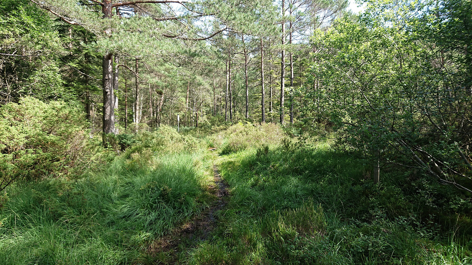
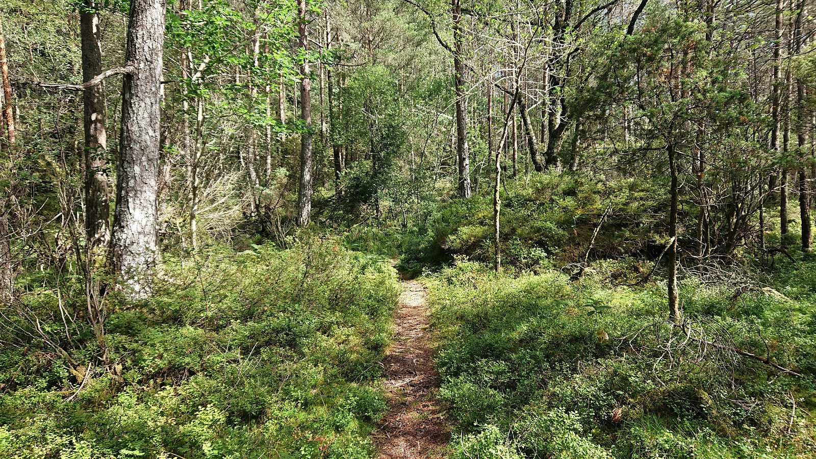
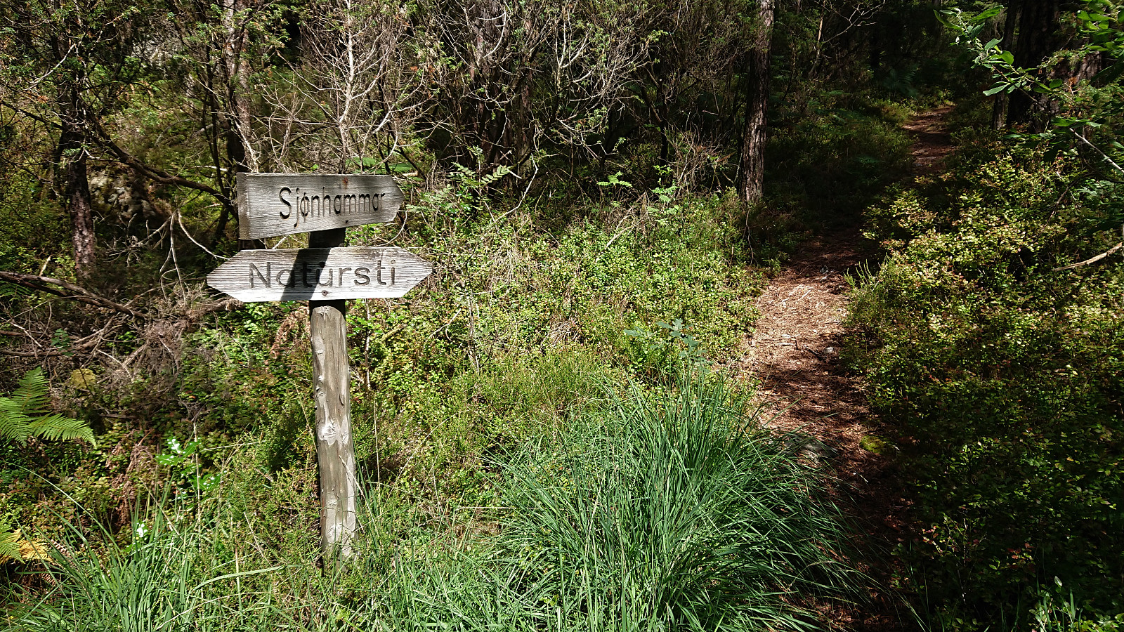
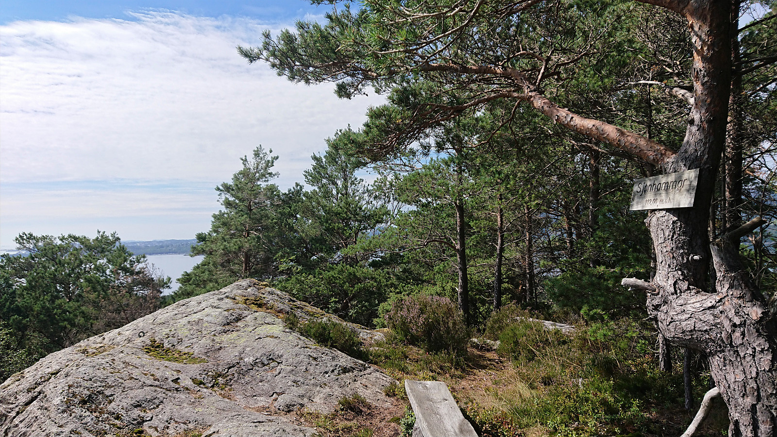
After finally deciding to leave my bike at the crossroads about 200 meters southwest of the summit, I continued on foot along a very wet trail, made slightly less wet by several wide wooden planks, some of them half submerged in water. The trail quality however greatly improved as the trail turned north for the summit. Here there was even a sign for Skjønhammaren. (A hidden sign at the earlier crossroads had only shown "Natursti", i.e. nature trail.)
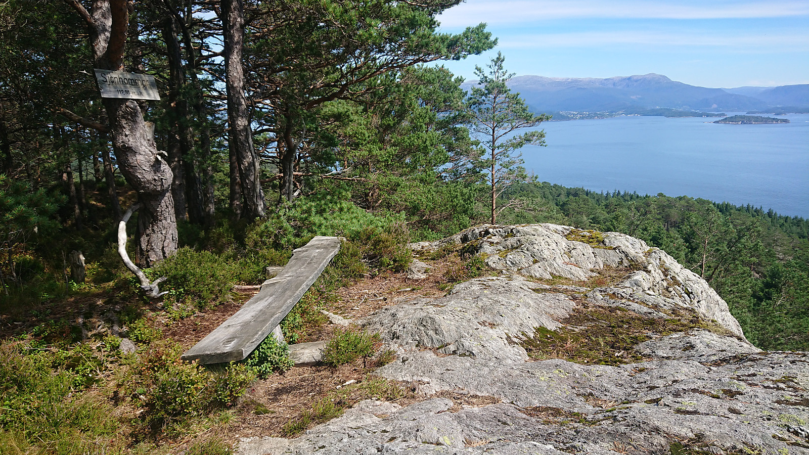
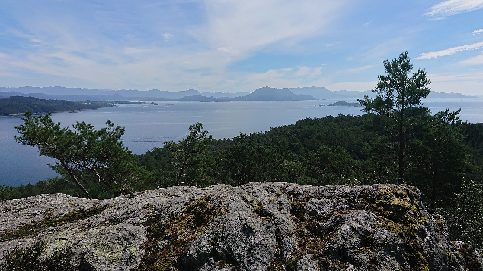
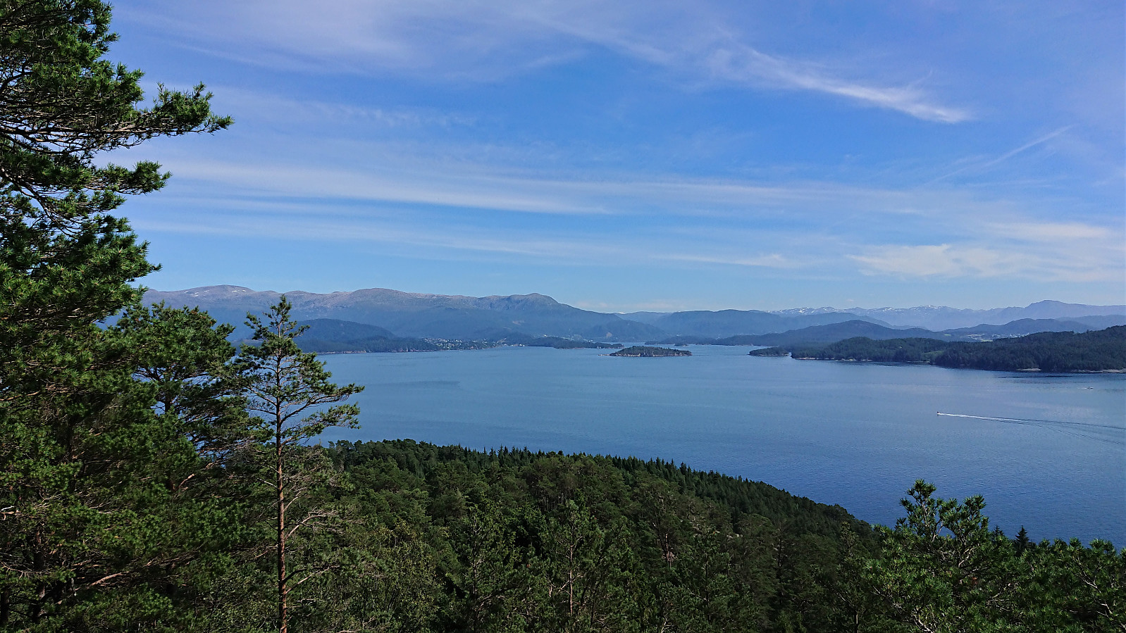
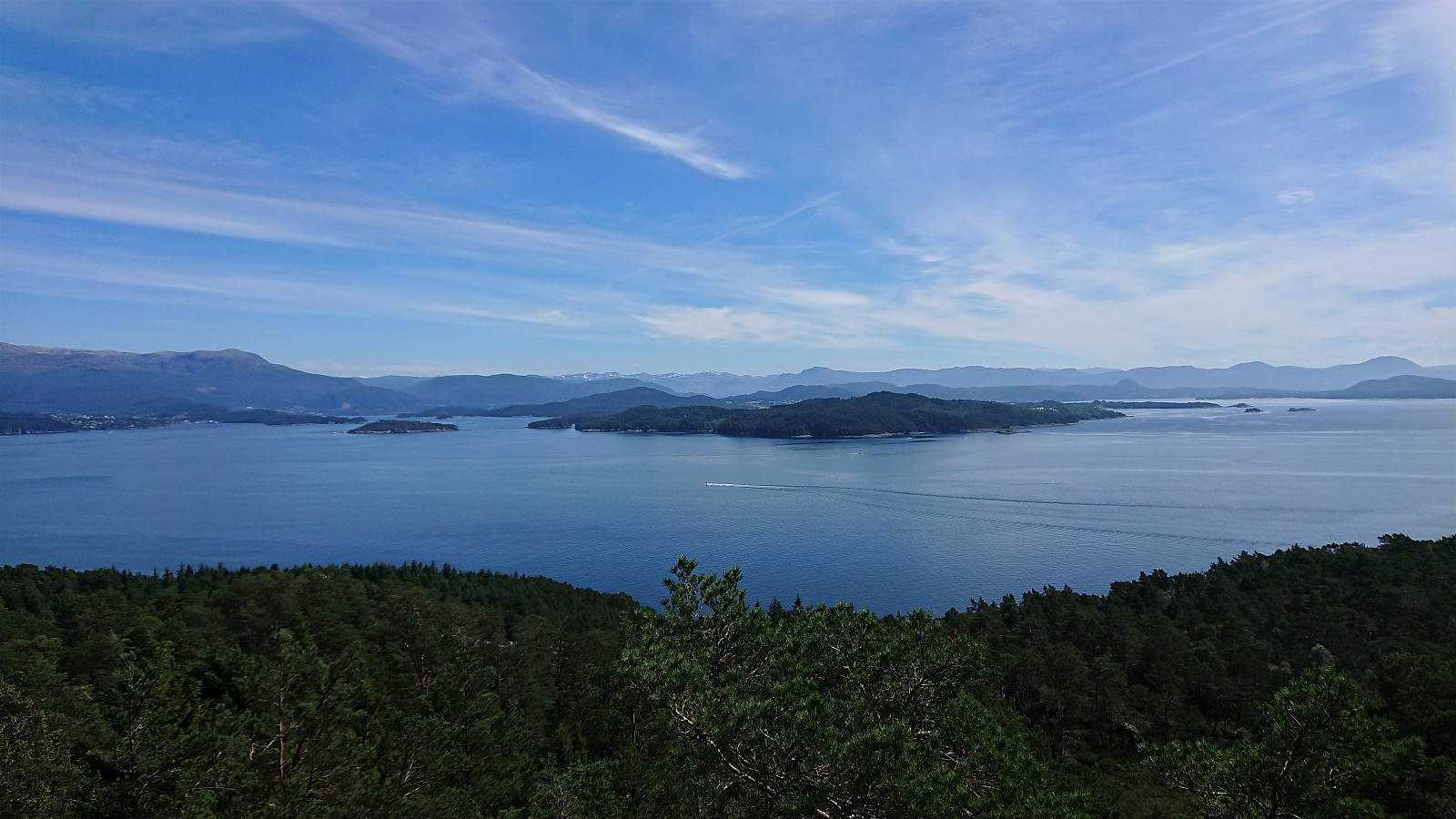
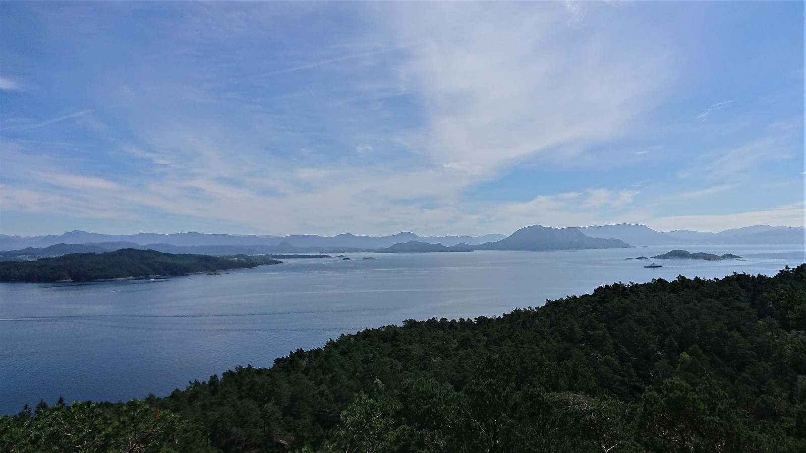
The summit (at 112.66 meters above sea level as the sign at the summit indicated) was quickly reached and provided excellent views to the south, while the views to the north were blocked by trees.
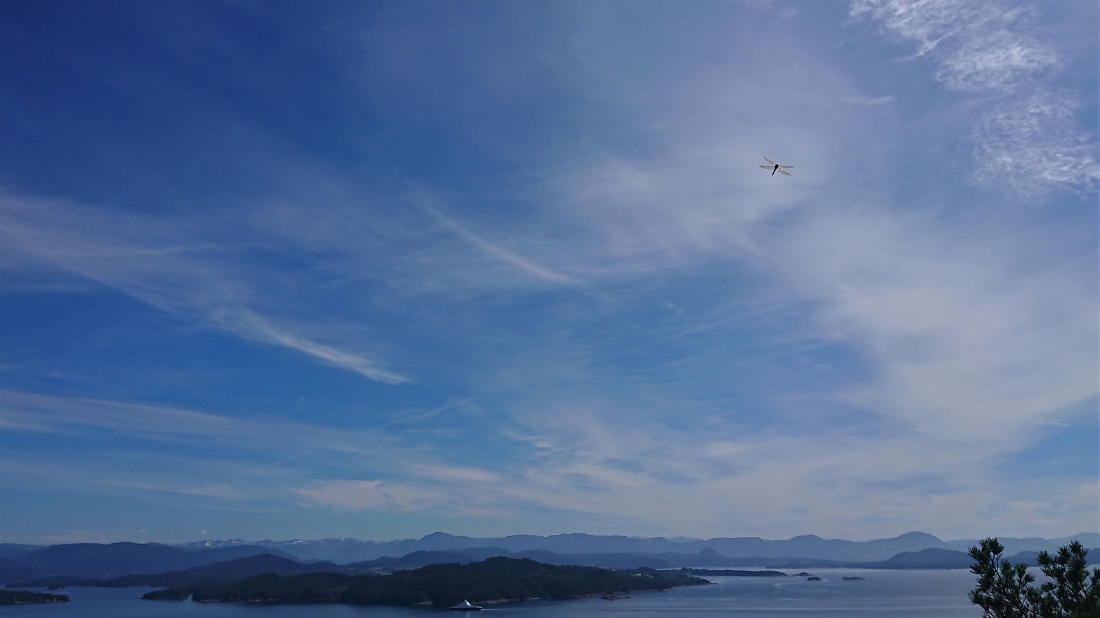
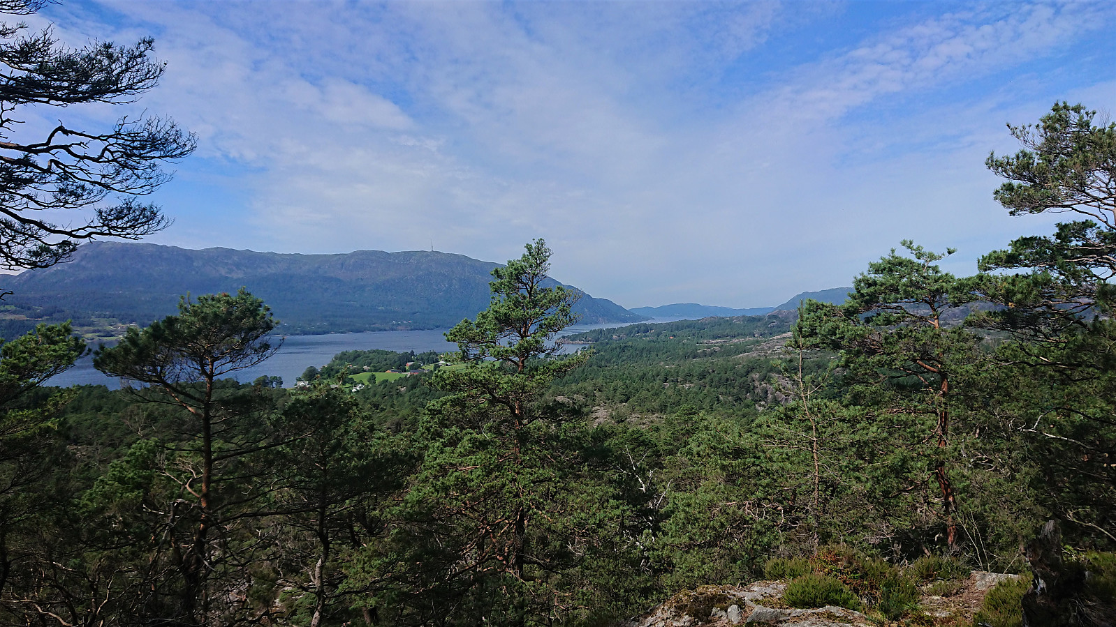
After a short lunch break, I briefly followed the trail north, from where I could spot Kattnakken in the distance, although the northern views were still pretty limited from here as well.
It should also be noted that while I had the summit all to myself with regards to other people, there was still plenty of other living organisms, with probably hundreds of ants, lots of butterflies and most notably several large dragonflies. All of which made for a more interesting lunch break.
I returned along the same trail back to my bike, and from there continued towards Høgafjellet.
To conclude, a short hike with very nice views for a summit at exactly 112.66 meters above sea level. :)

| Start date | 31.07.2020 13:31 (UTC+01:00 DST) |
| End date | 31.07.2020 14:05 (UTC+01:00 DST) |
| Total Time | 0h 34min |
| Moving Time | 0h 19min |
| Stopped Time | 0h 15min |
| Overall Average | 1.6km/h |
| Moving Average | 2.9km/h |
| Distance | 0.9km |
| Vertical meters | 59m |


User comments