
Hovlandsnuten and Etlådnefjellet (16.06.2020)

Written by hbar (Harald Barsnes)

| Start point | Skaret p-plass (151m) |
|---|---|
| Endpoint | Skaret p-plass (151m) |
| Characteristic | Hillwalk |
| Duration | 3h 12min |
| Distance | 10.6km |
| Vertical meters | 770m |
| GPS |
|
| Ascents | Etlådnefjellet (737m) | 16.06.2020 |
|---|---|---|
| Etlådnefjellet, SV (737m) | 16.06.2020 | |
| Hovlandsnuten (727m) | 16.06.2020 | |
| Visits of other PBEs | Skaret p-plass (150m) | 16.06.2020 |
Hovlandsnuten and Etlådnefjellet
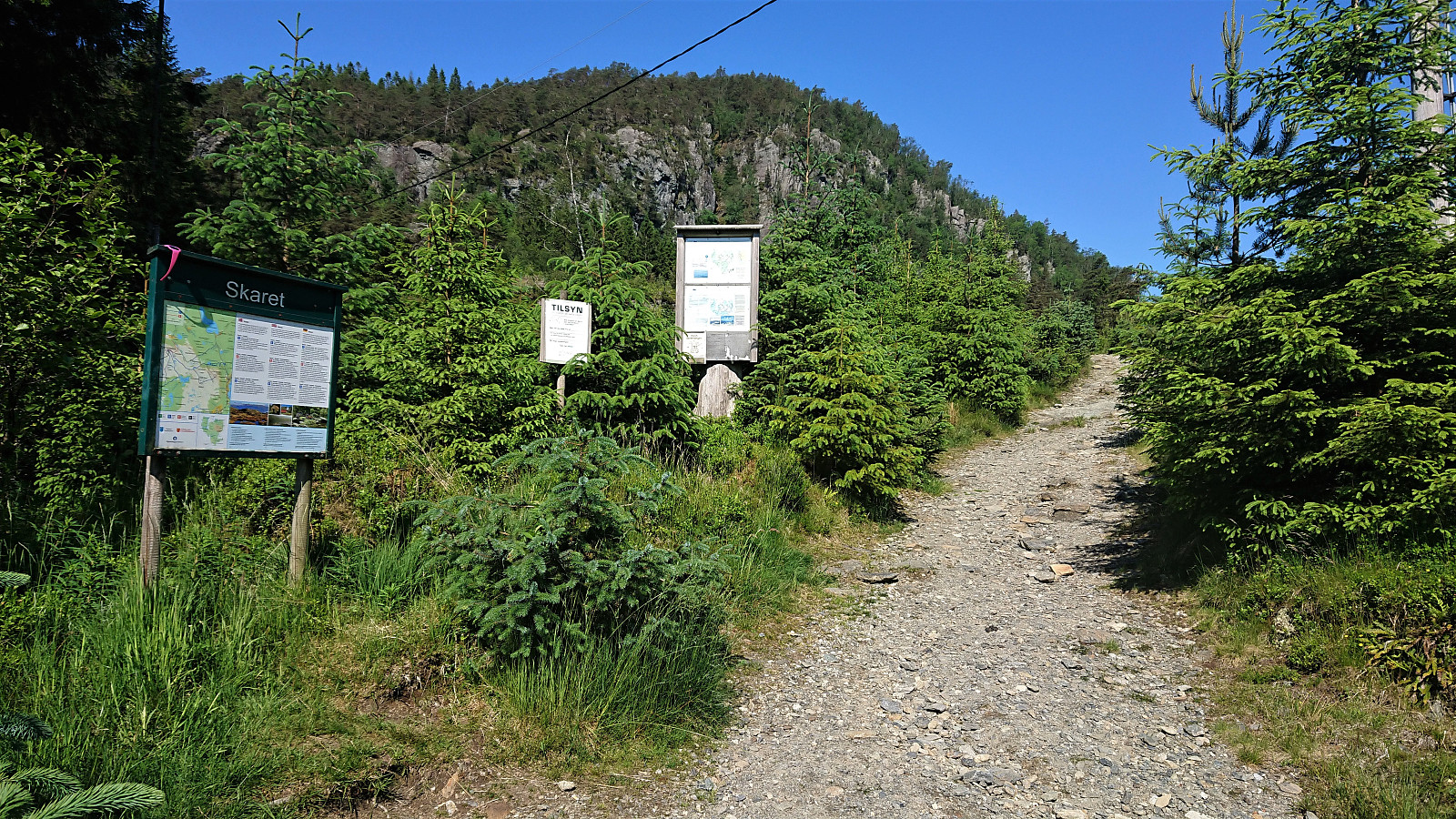
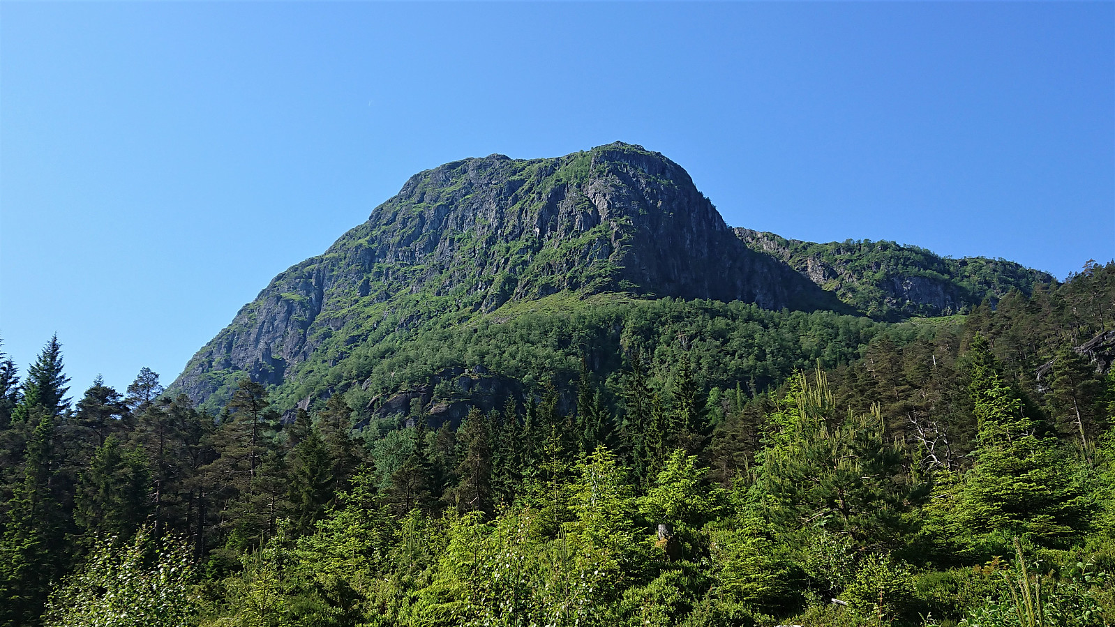
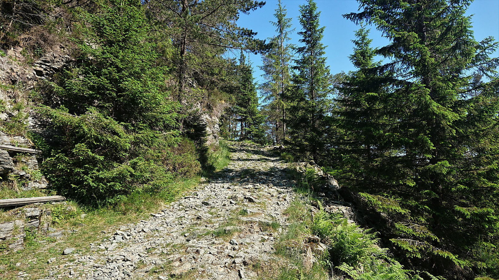
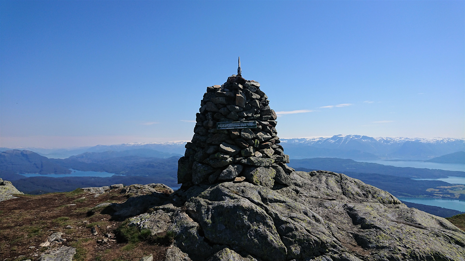
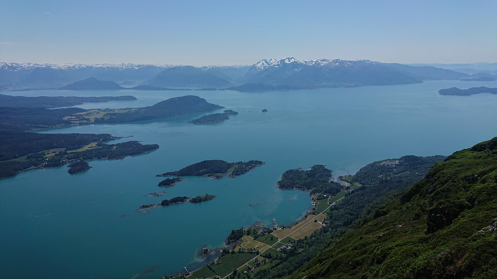
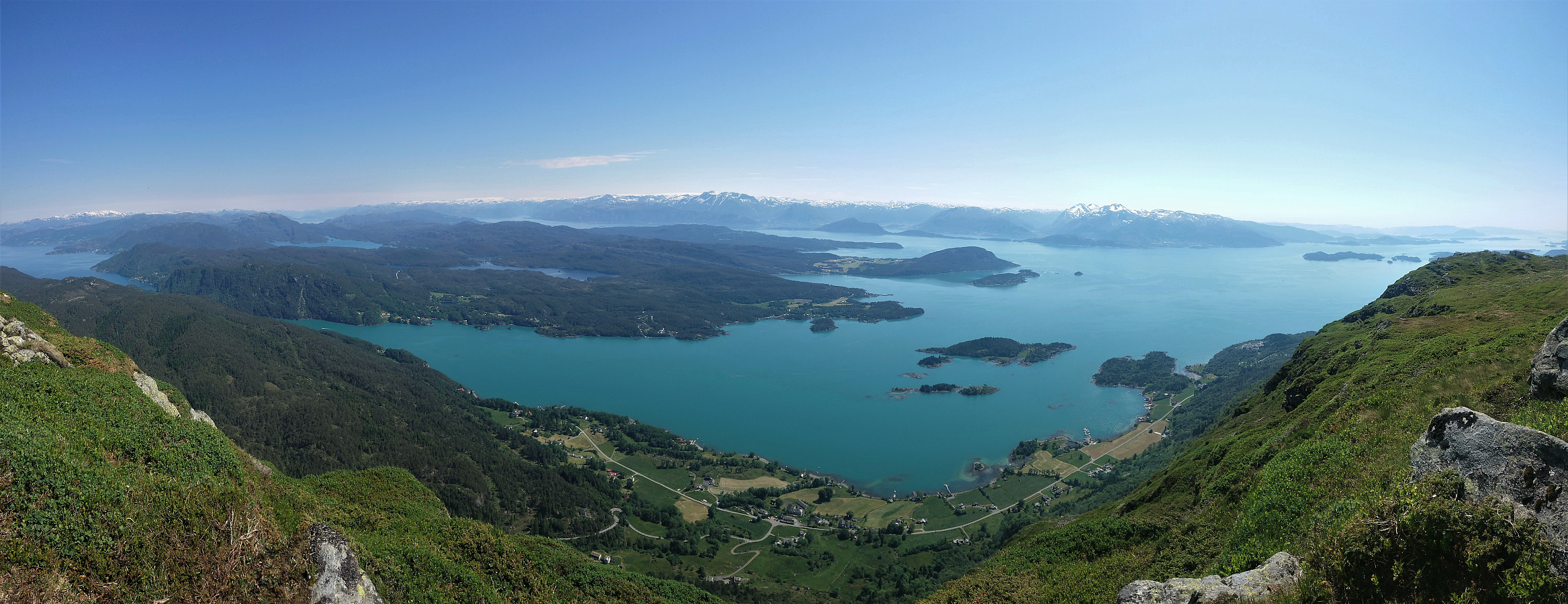
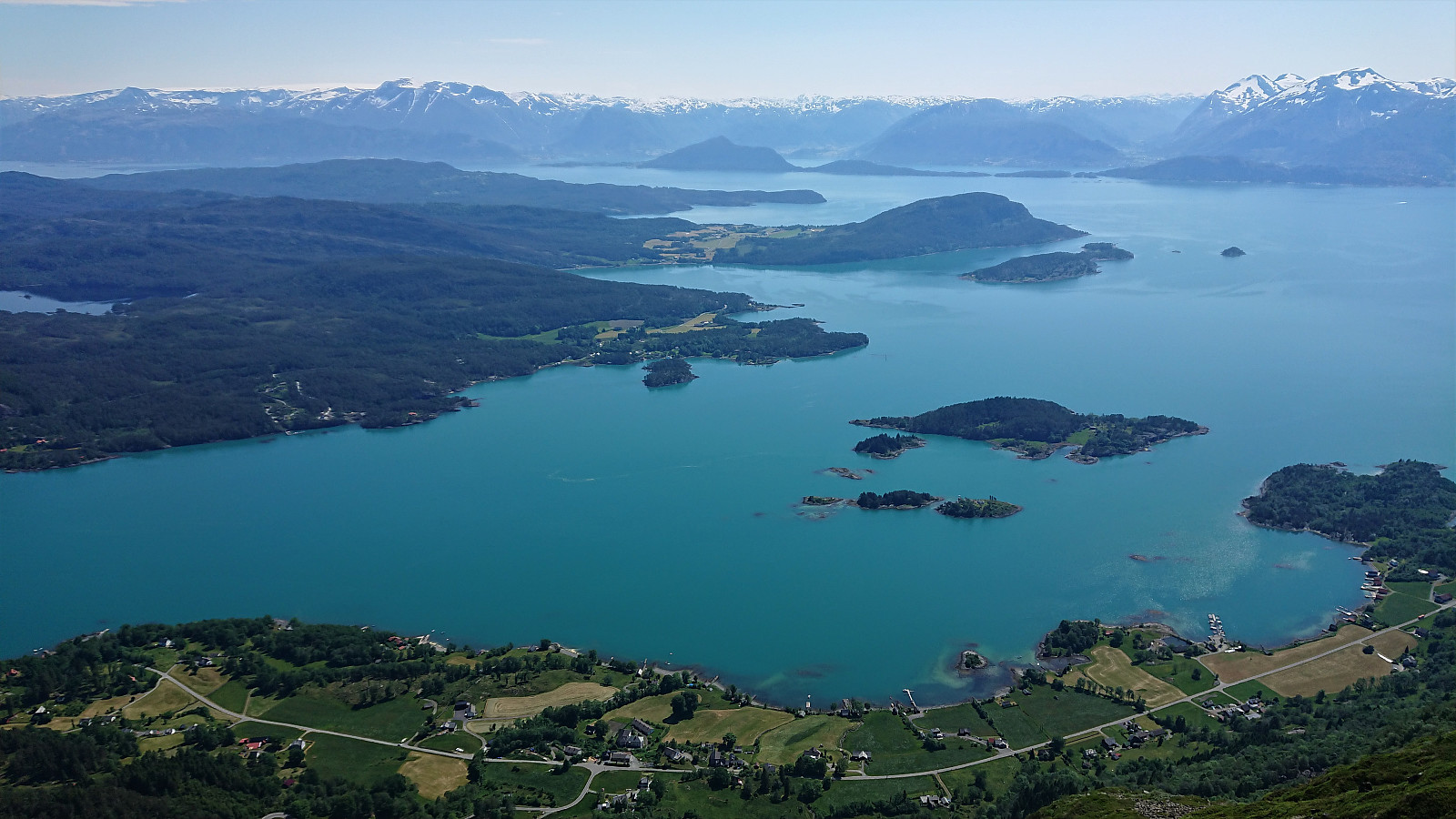
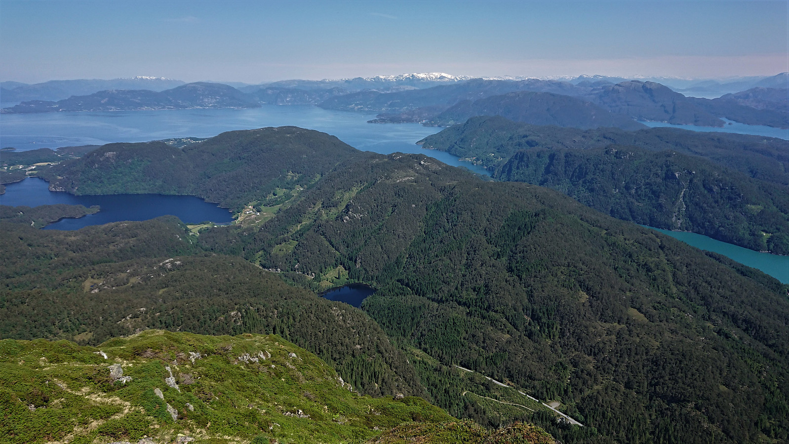
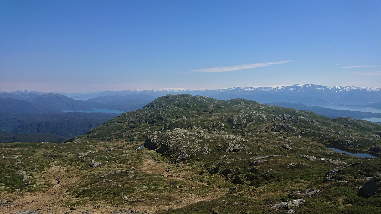
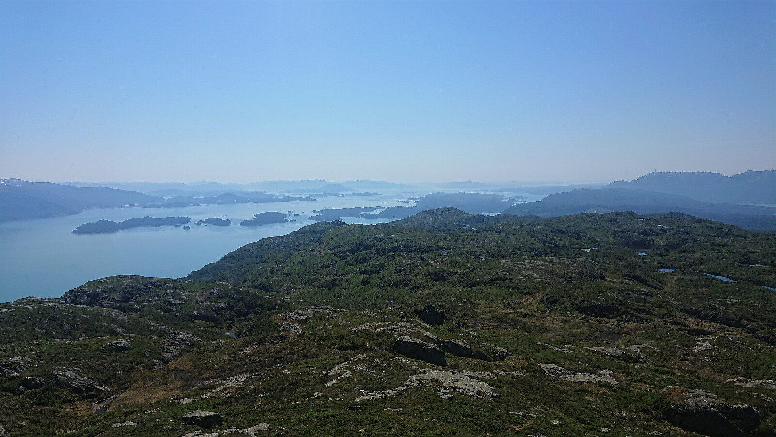
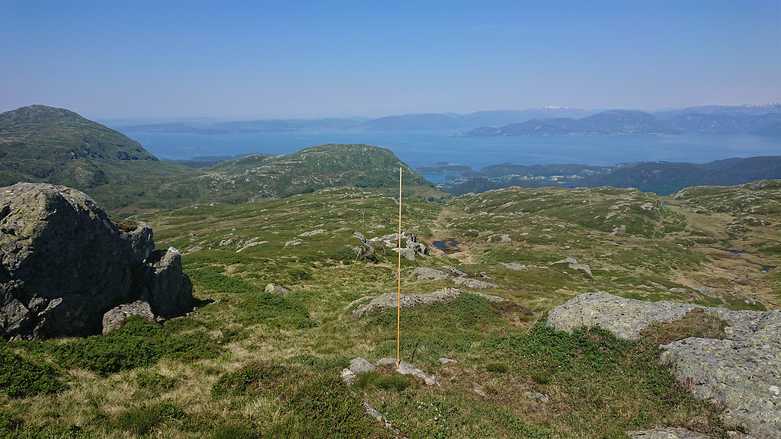
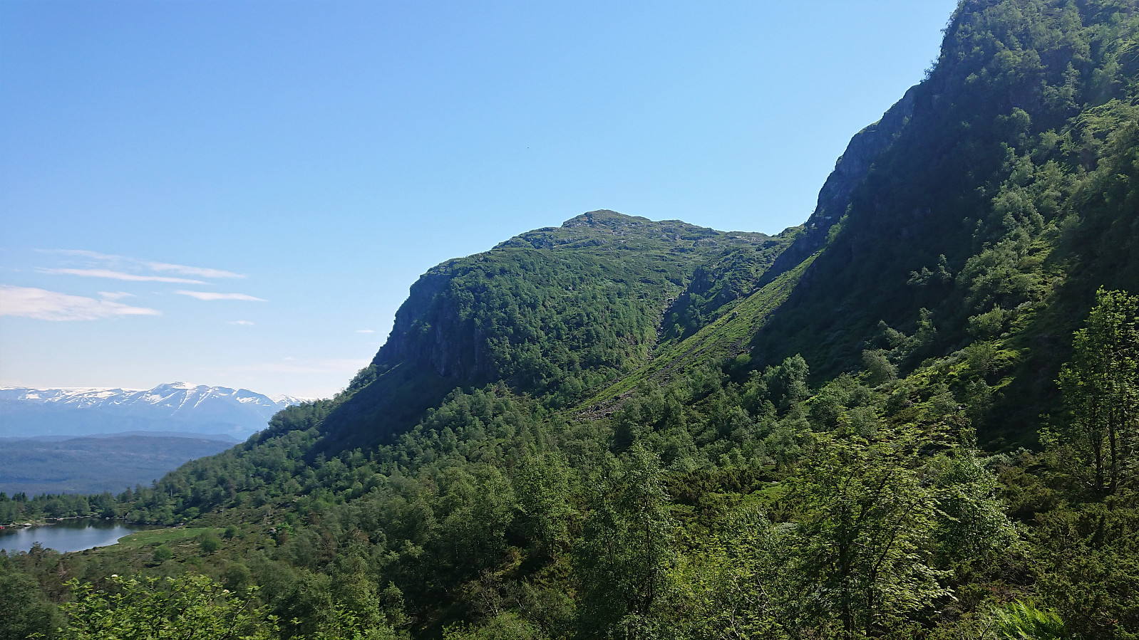
Upon arriving at Skaret, I left my bike behind and followed the rough tractor road up to Vasstøltjørna. From there I followed the marked steep trail up Sandlopeskardet, taking me all the way to Hovlandsnuten, which offered the kind of views one often sees in guidebooks trying to attract tourists to visit Norway! In other words: spectacular!
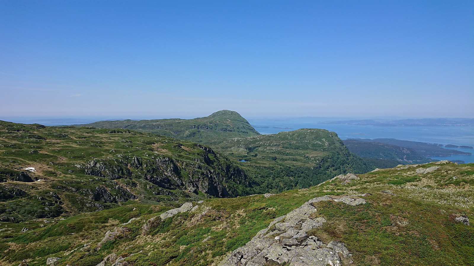
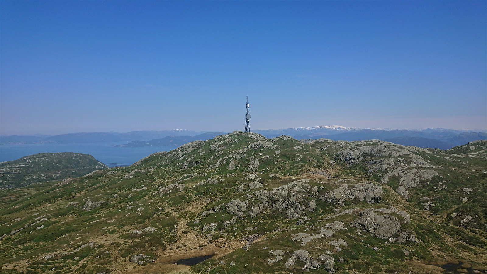
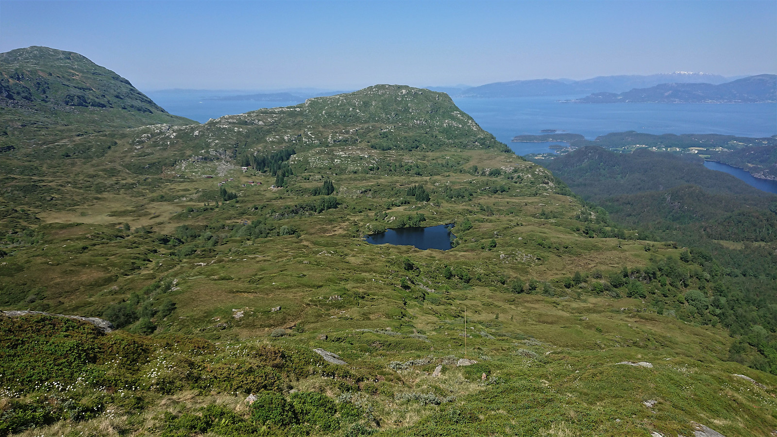
I could have enjoyed the views for the rest of the day, but I had other summits to visit and a ferry to catch. After a lunch break, I therefore continued to Etlådnefjellet, first along a trail, but it soon disappeared, and I ended up making my own way, visiting both the eastern 732 hill and the southern 737 hill, before finally heading to the summit itself.
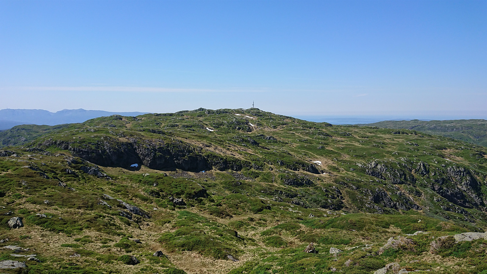
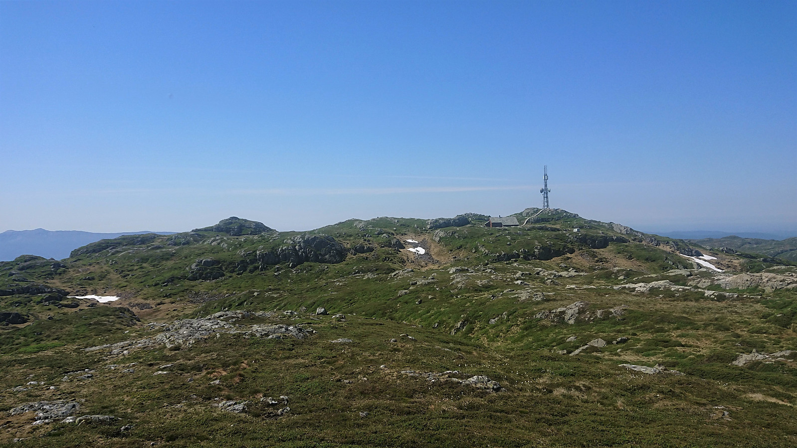
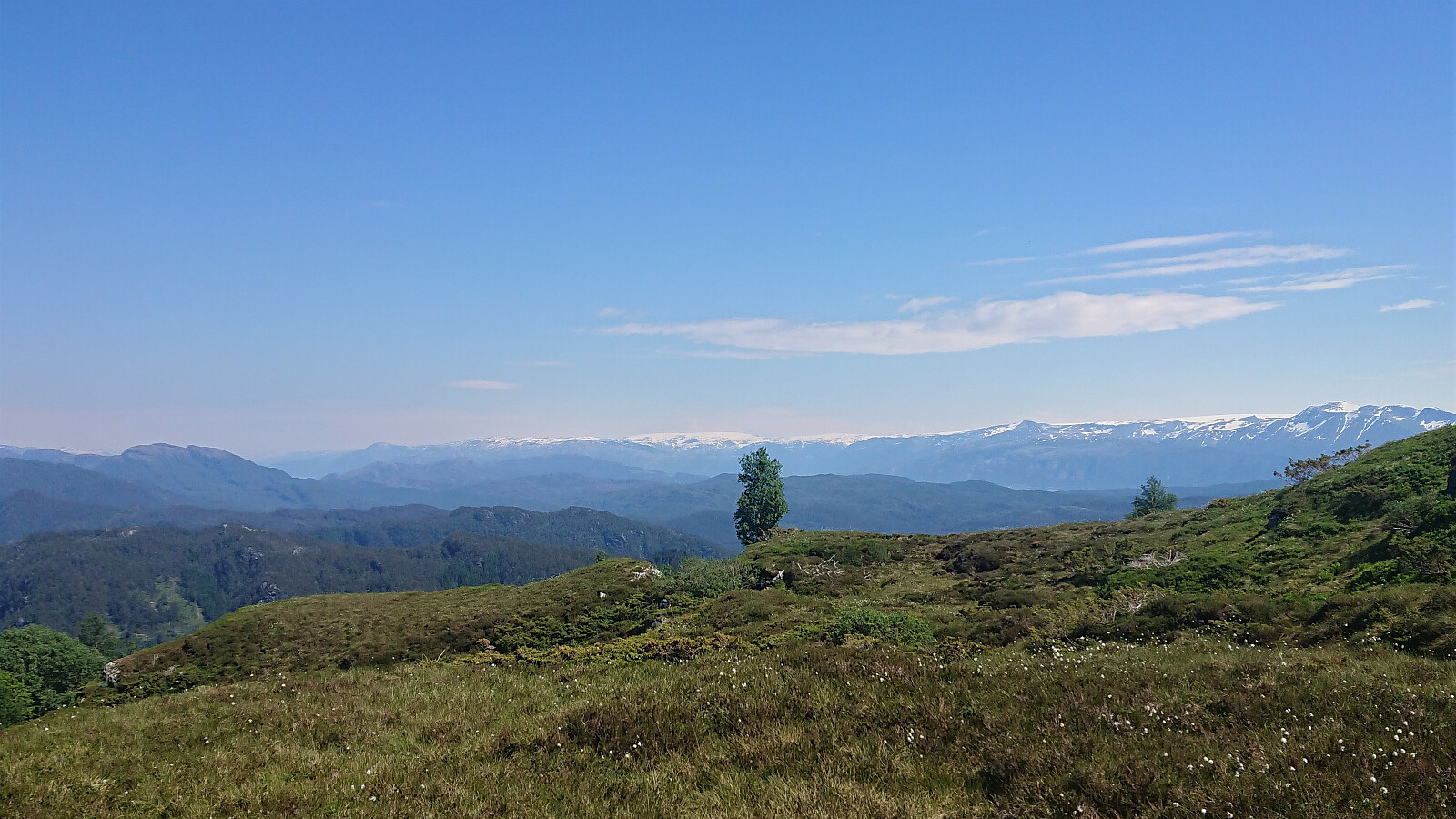
On most other hikes, the views from Etlådnefjellet would have been a highlight, but when compared to the spectacular views from Hovlandsnuten they fell short. I therefore did not stay long before starting my descent, following in the footsteps of elbow (Vegard Magnussen).
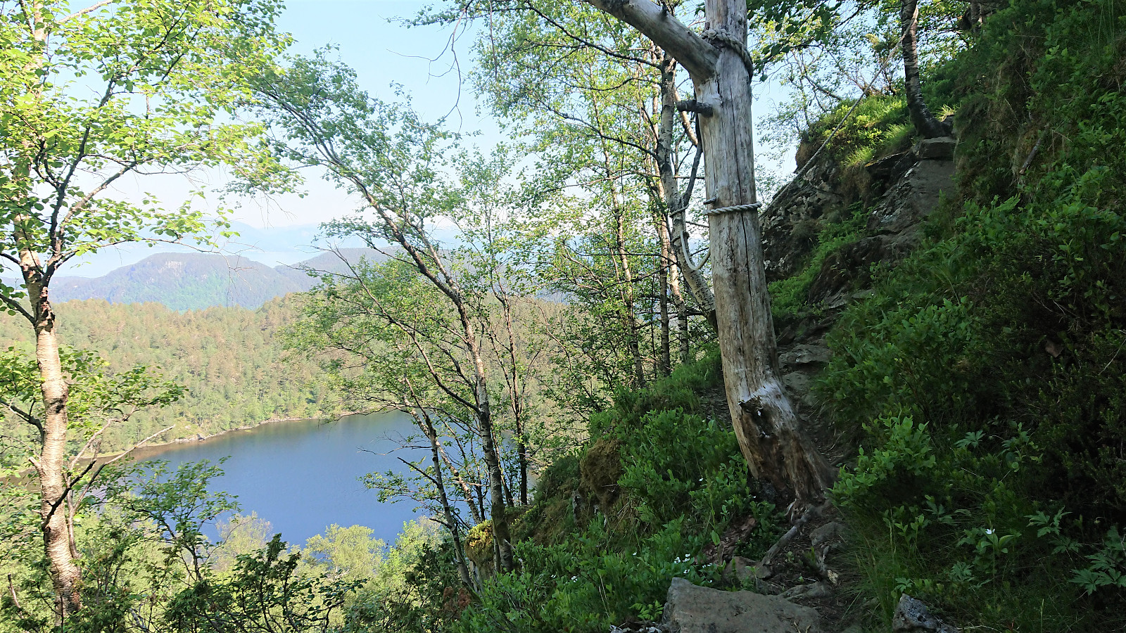
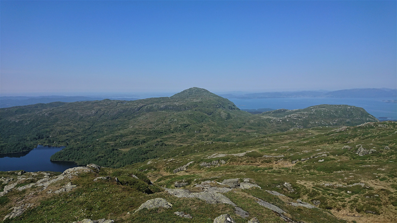
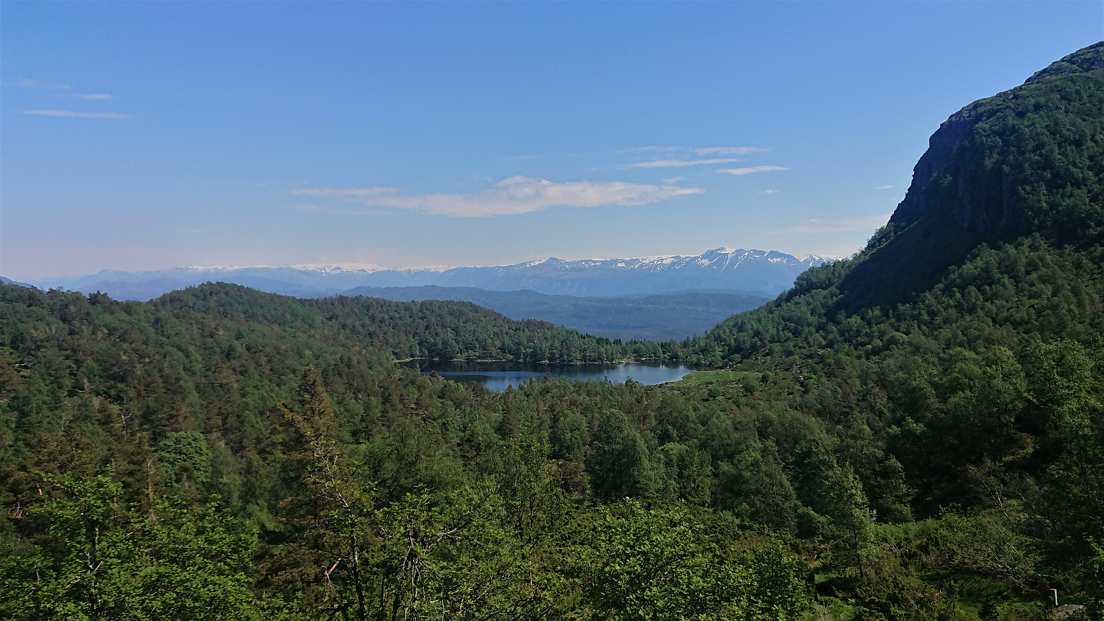
The unusual "trail markers" were easy to follow at first, but when getting closer to Heiavatnet I lost the sticks and had to find my own way until connecting with the trail coming up from Vasstøltjørna. From there, the trail, and later tractor road, could be followed all the way back down to the main road.
In summary, an excellent hike that, perhaps from the route down from Etlådnefjellet where a better option could potentially be found, can be very highly recommended. Especially a visit to Hovlandsnuten and its spectacular views should be high on anyone’s list of places to visit! Just make sure to do it on a day with nice weather to get the most out of the views!
| Start date | 16.06.2020 11:05 (UTC+01:00 DST) |
| End date | 16.06.2020 14:17 (UTC+01:00 DST) |
| Total Time | 3h 12min |
| Moving Time | 2h 56min |
| Stopped Time | 0h 15min |
| Overall Average | 3.3km/h |
| Moving Average | 3.6km/h |
| Distance | 10.6km |
| Vertical meters | 770m |


User comments
Amazing Hovlandsnuten, yes!
Written by HHauser 25.06.2020 09:39We "almost met" (by about two weeks)! :-) https://peakbook.org/HHauser/tour/359232/Hovlandsnuten+and+Etl%C3%A5dnefjellet.html
Great hiking!
Re: Amazing Hovlandsnuten, yes
Written by hbar 26.06.2020 00:40Hehe. Yes, I noticed! And you even included part of the road where I cycled as well! :)