
Tuvefjellet via Kyrkjefjellet (21.05.2020)

Written by hbar (Harald Barsnes)

| Start point | Vetlabølsvegen (152m) |
|---|---|
| Endpoint | Vetlabølsvegen (153m) |
| Characteristic | Hillwalk |
| Duration | 1h 40min |
| Distance | 5.2km |
| Vertical meters | 305m |
| GPS |
|
| Ascents | Kyrkjefjellet (332m) | 21.05.2020 |
|---|---|---|
| Tuvefjellet (342m) | 21.05.2020 | |
| Visits of other PBEs | Kyrkjefjellet utsiktspunkt (319m) | 21.05.2020 |
| Skaret p-plass (150m) | 21.05.2020 | |
| Tuvefjellet utsiktspunkt (338m) | 21.05.2020 |
Tuvefjellet via Kyrkjefjellet
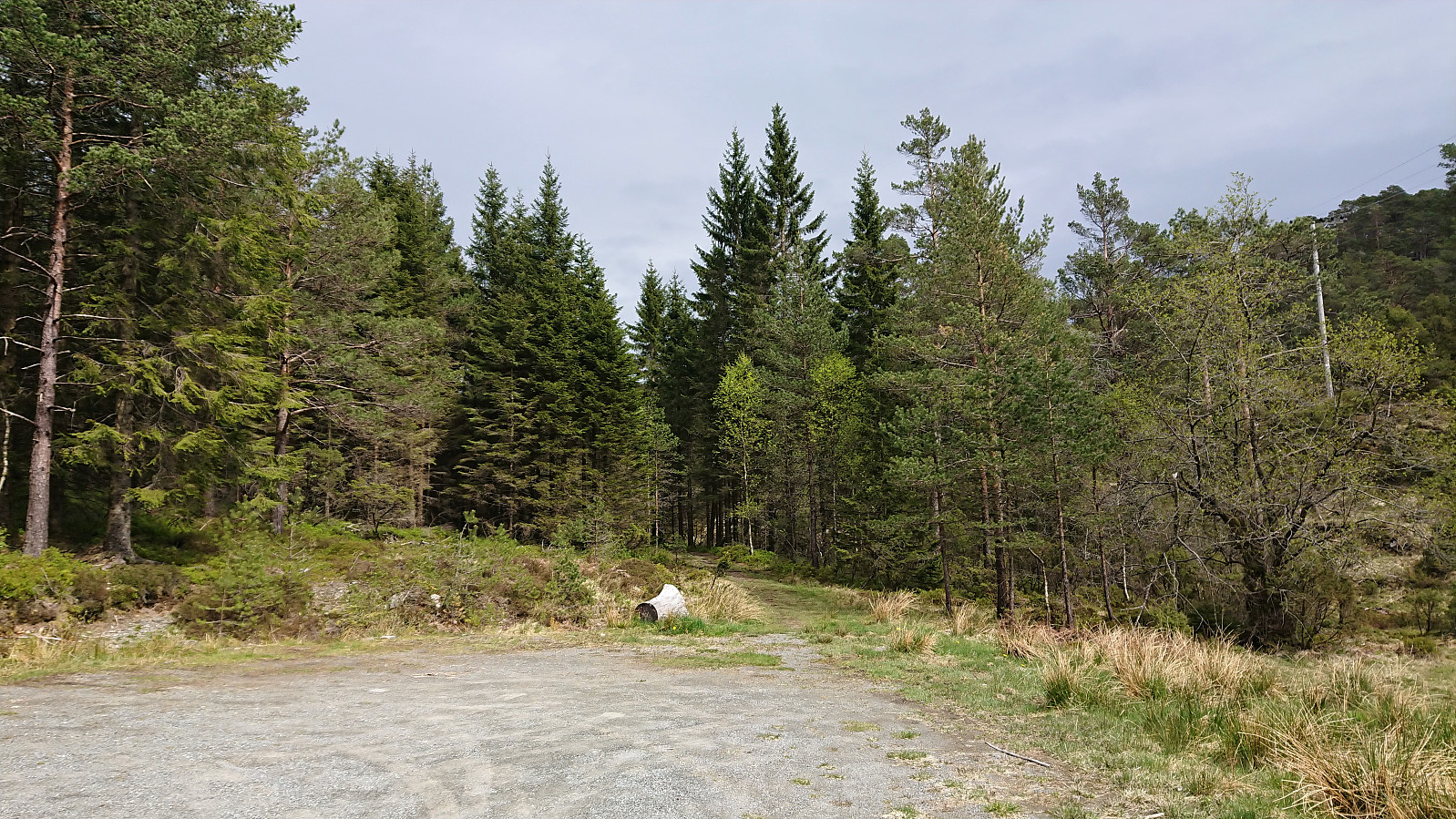
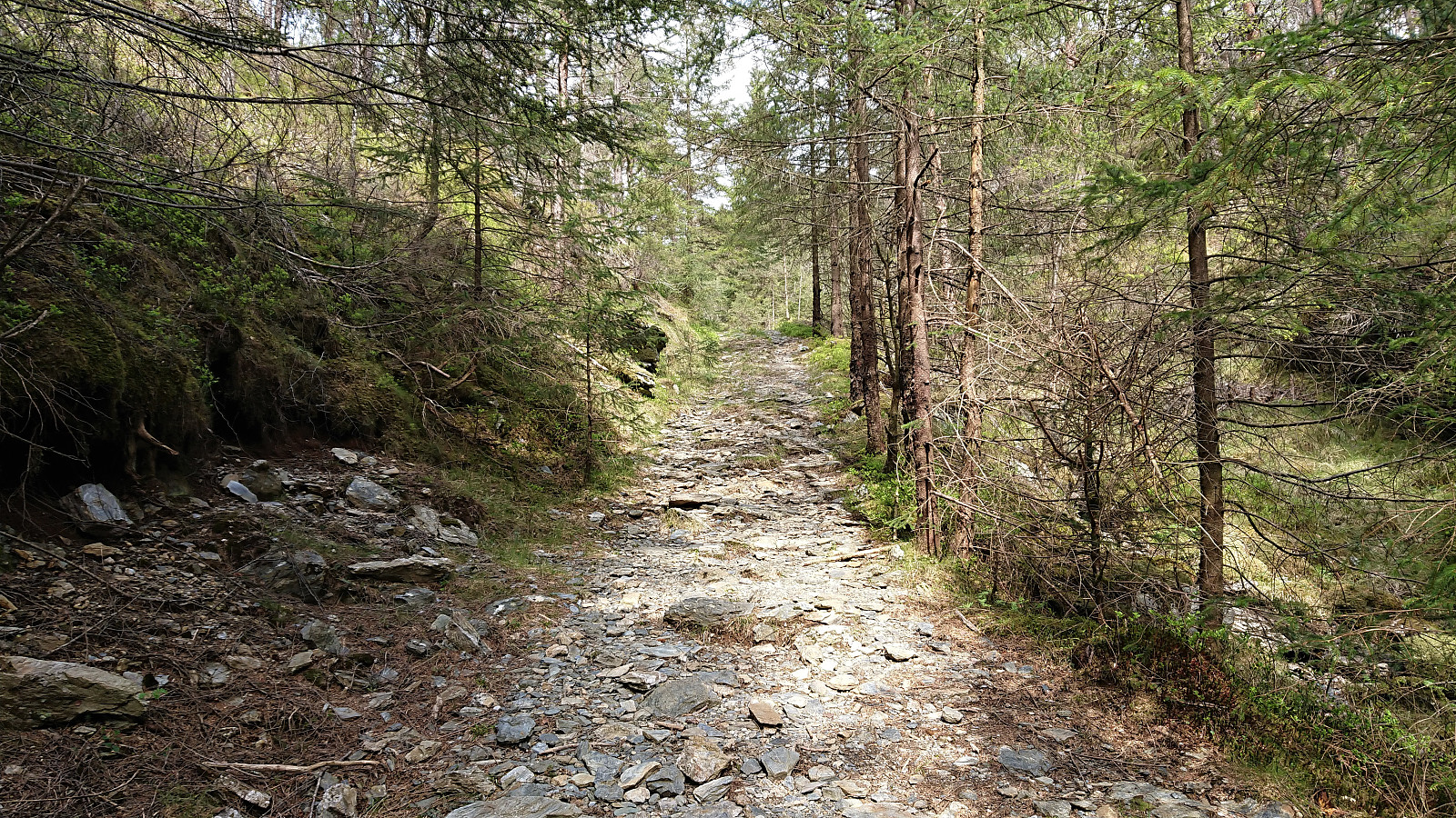
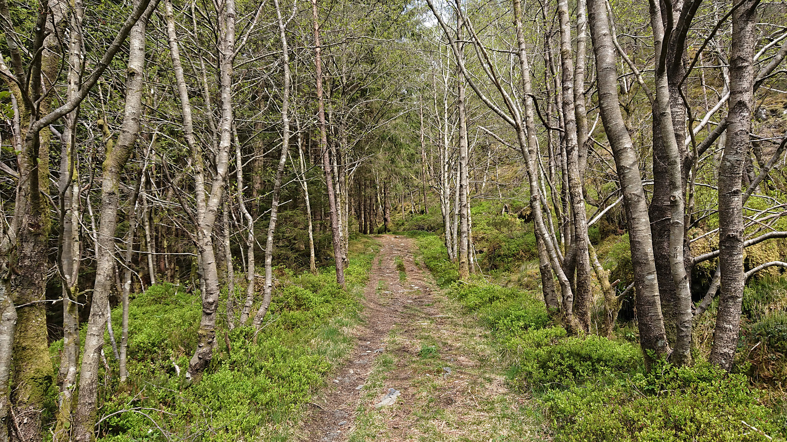
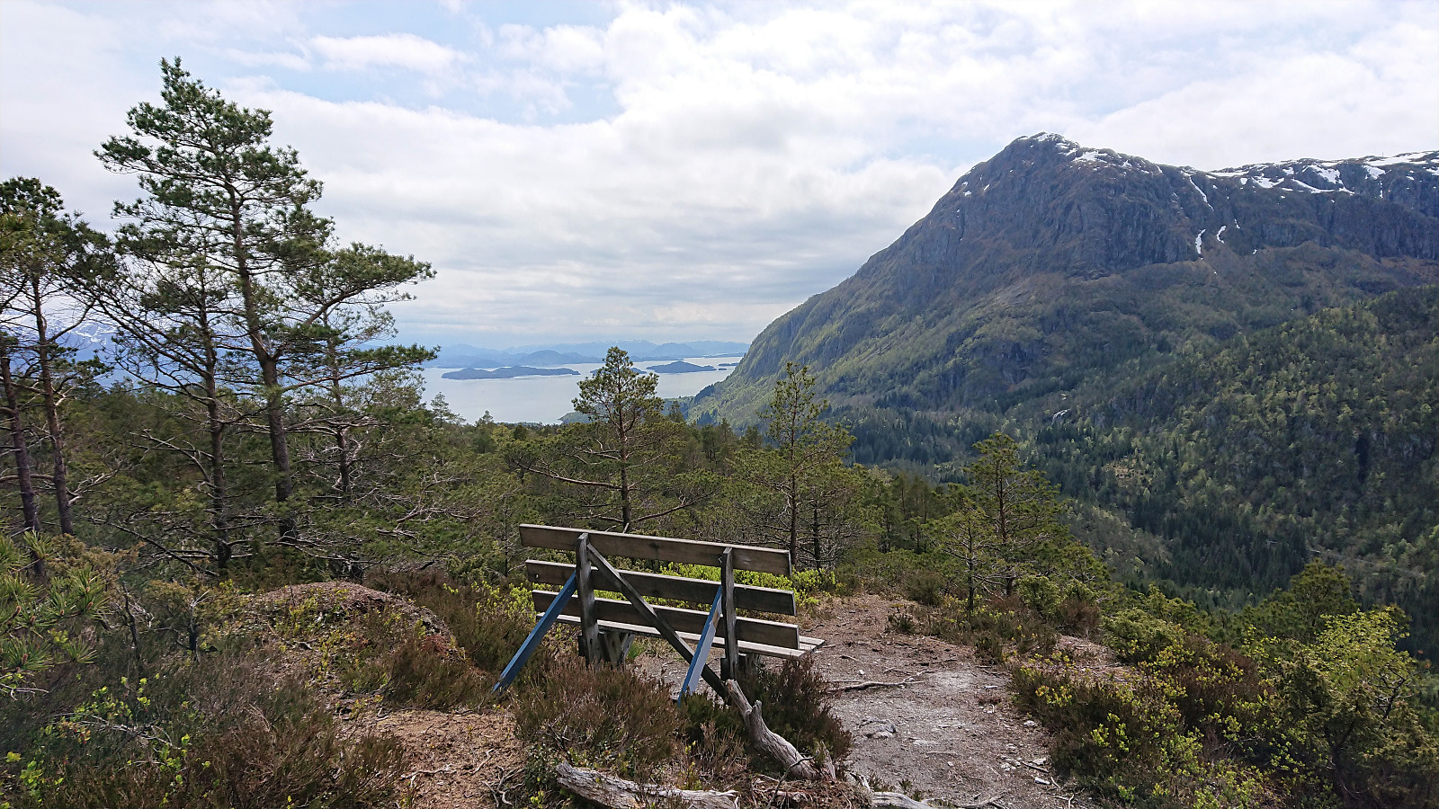
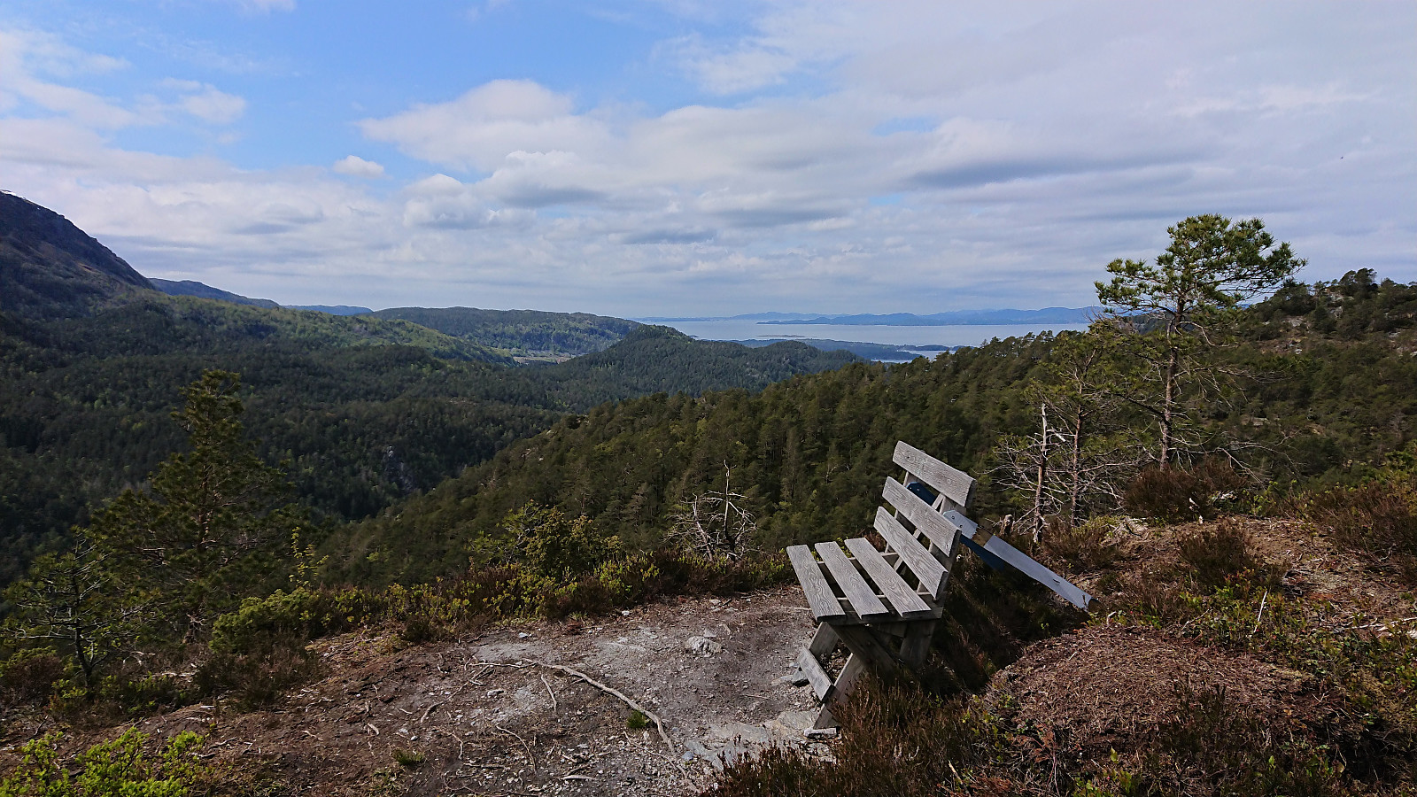
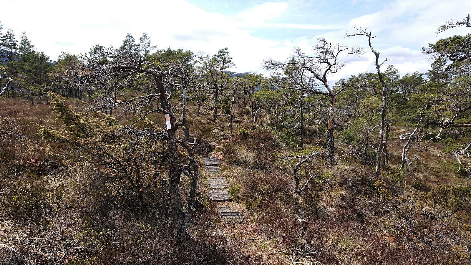
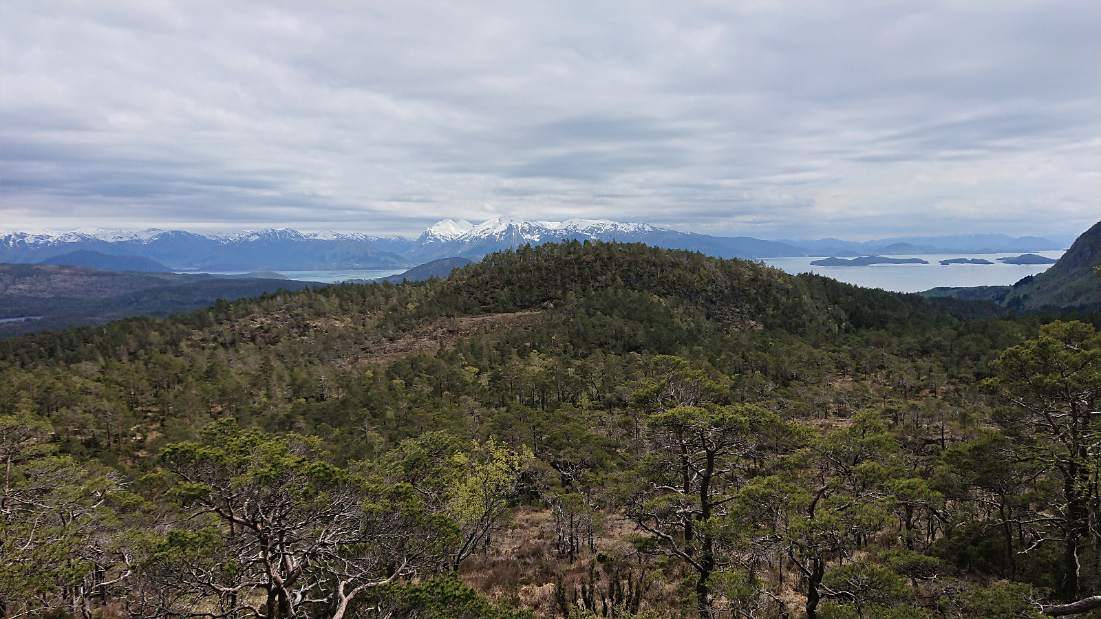
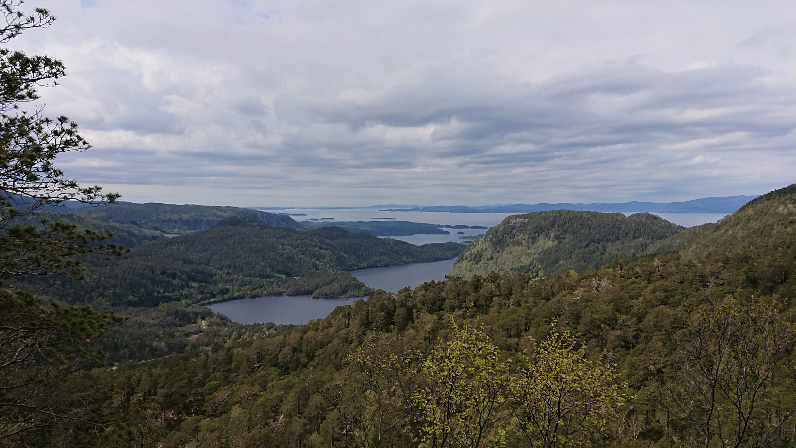
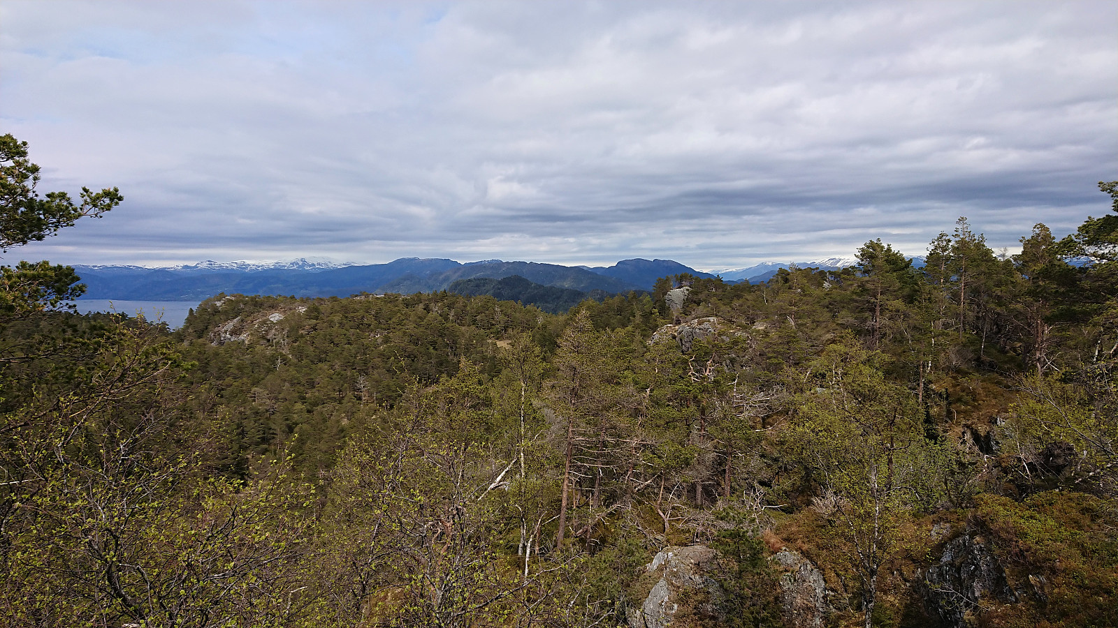
After finally arriving at the parking lot and the tractor road indicating the start of the unmarked trail towards Kyrkjefjellet, I quickly left my bike behind and continued on foot. When the tractor road ended, I easily followed the trail all the way to the viewpoint southwest of the summit of Kyrkjefjellet, referred to as "Benk 1" (i.e. "Bench 1"), which provided spectacular views towards the west. The views from the summit itself were more limited.
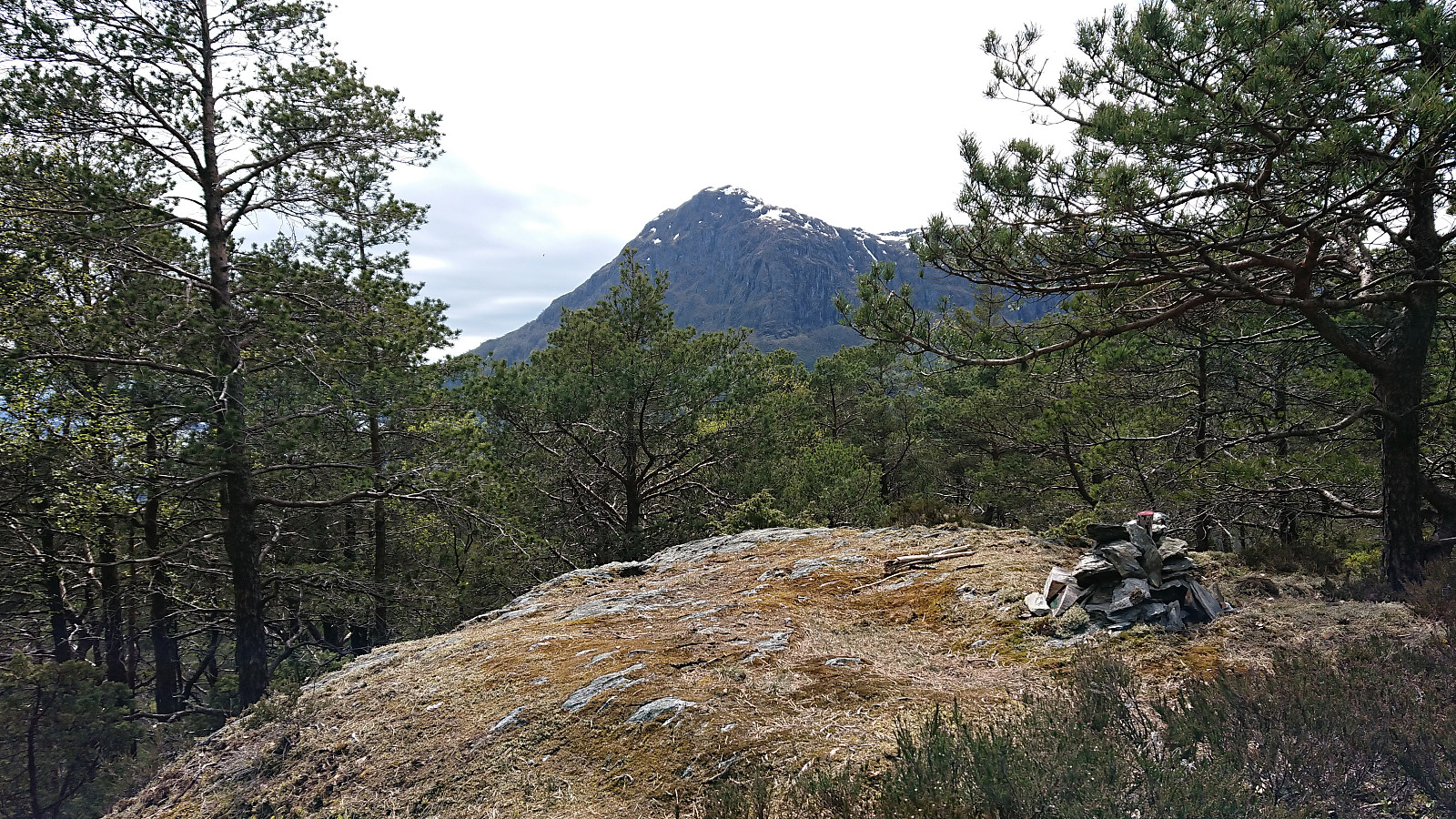
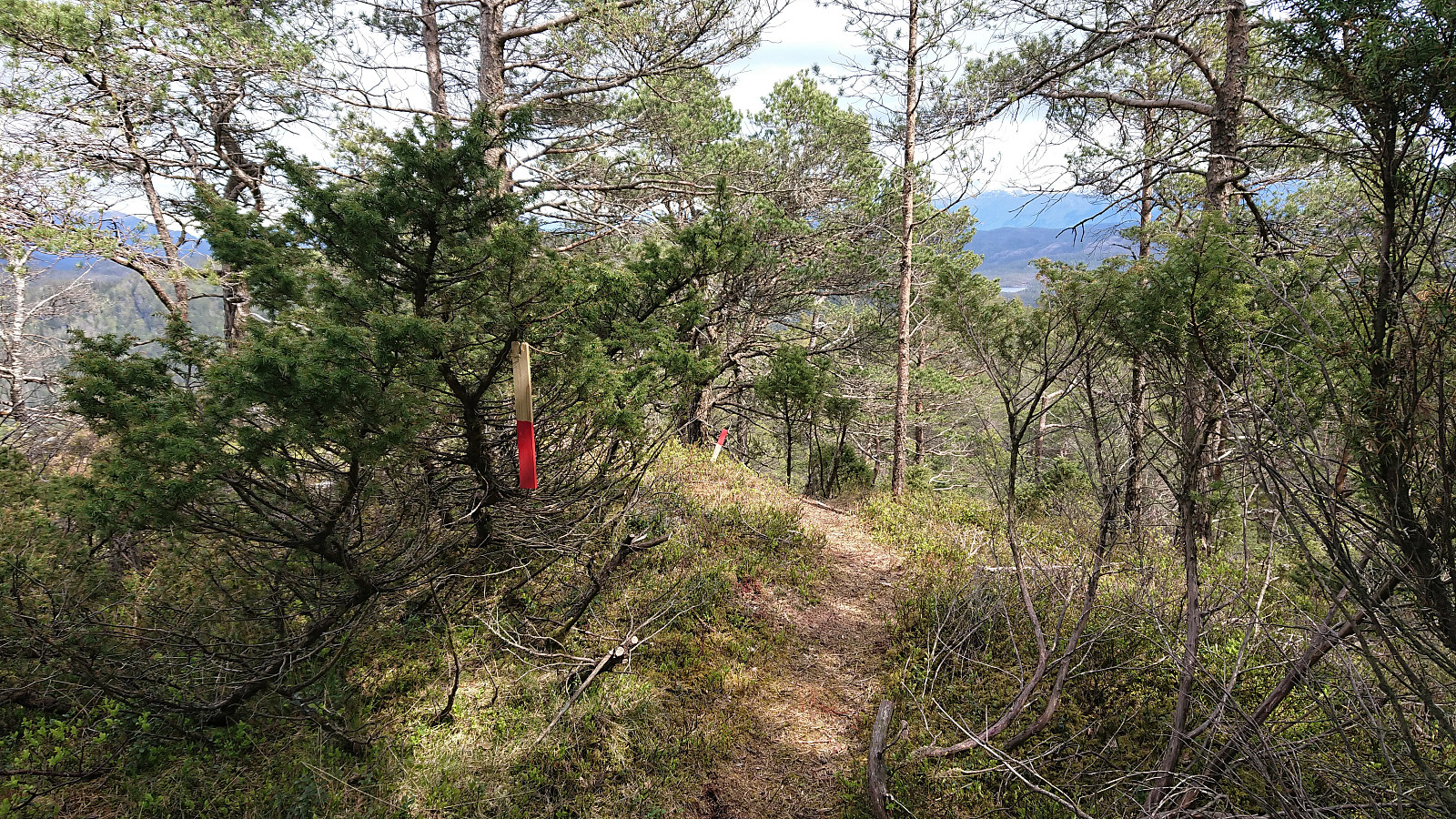
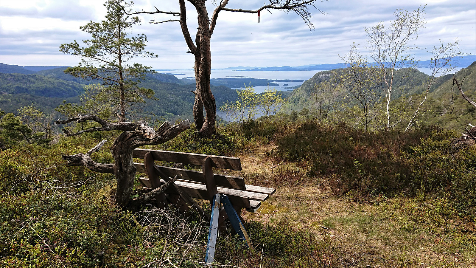
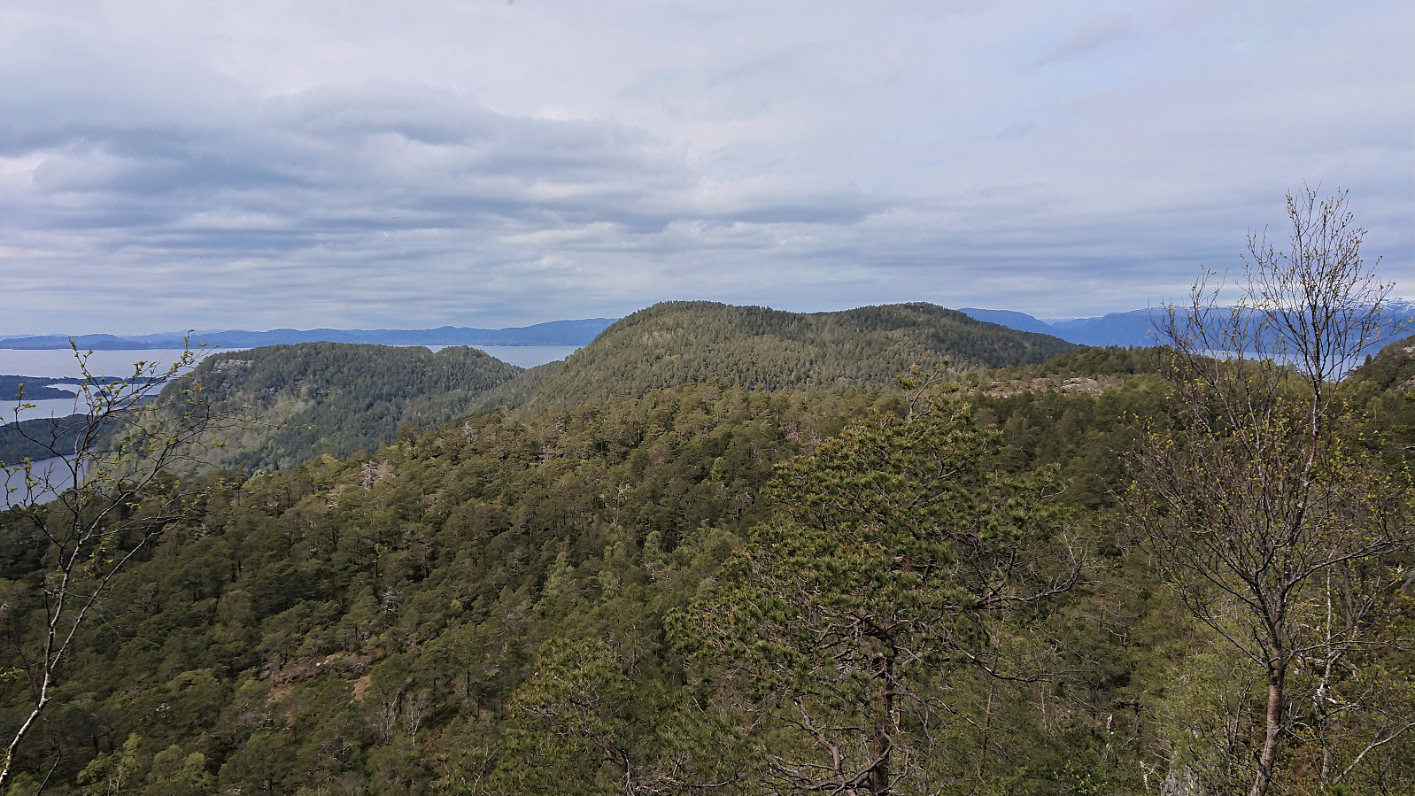
So far the trail had been unmarked, but when continuing east, lots of red trail markers suddenly started appearing, marking a trail that could be followed almost all the way to the viewpoint southwest of the summit of Tuvefjellet, referred to as "Benk 2". The red markers continued east from the bench, but did not pass by the summit itself. It was however straightforward to reach the summit from the trail.
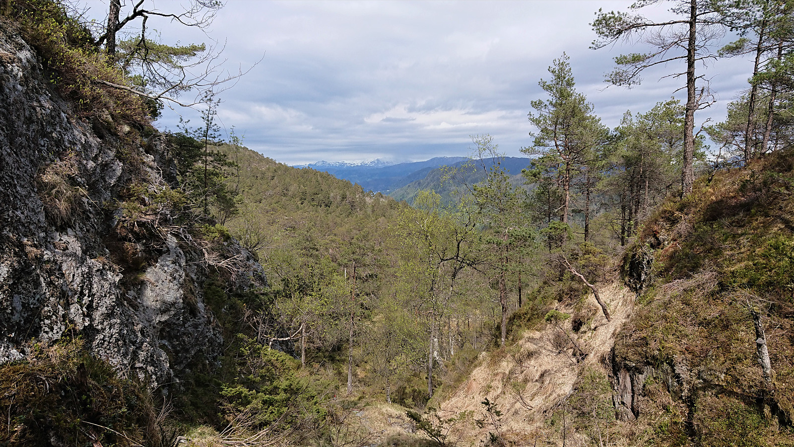
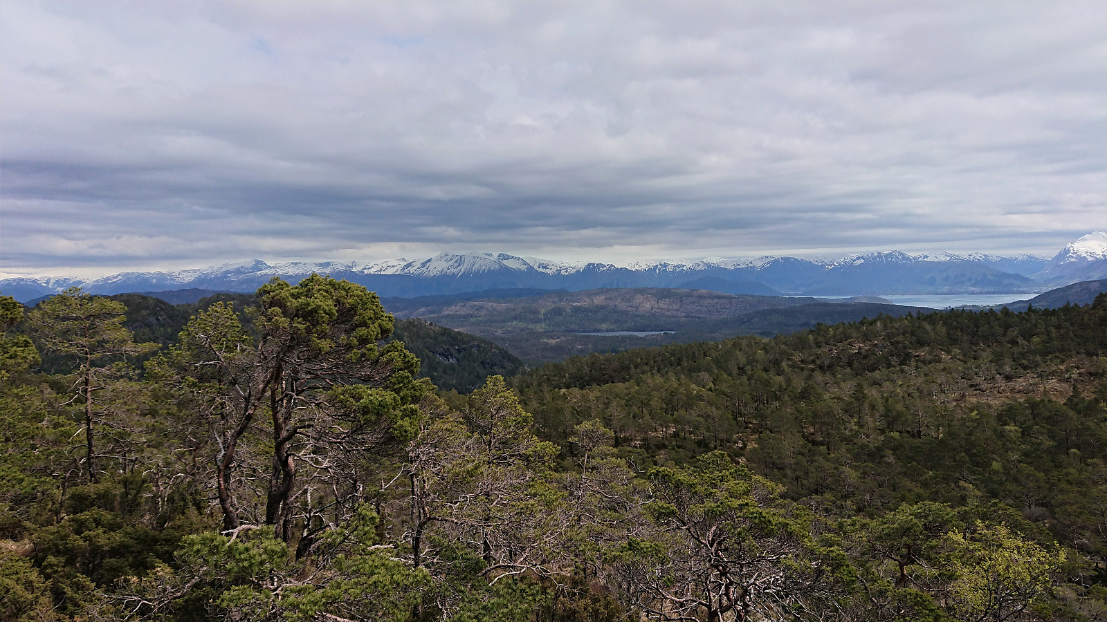
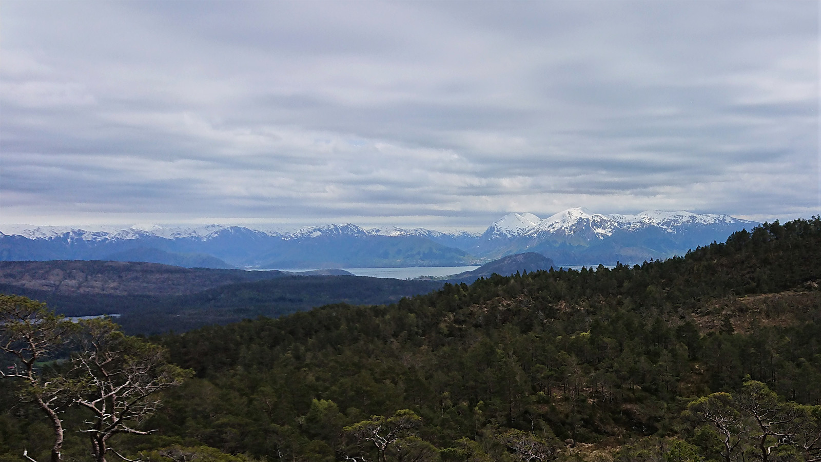
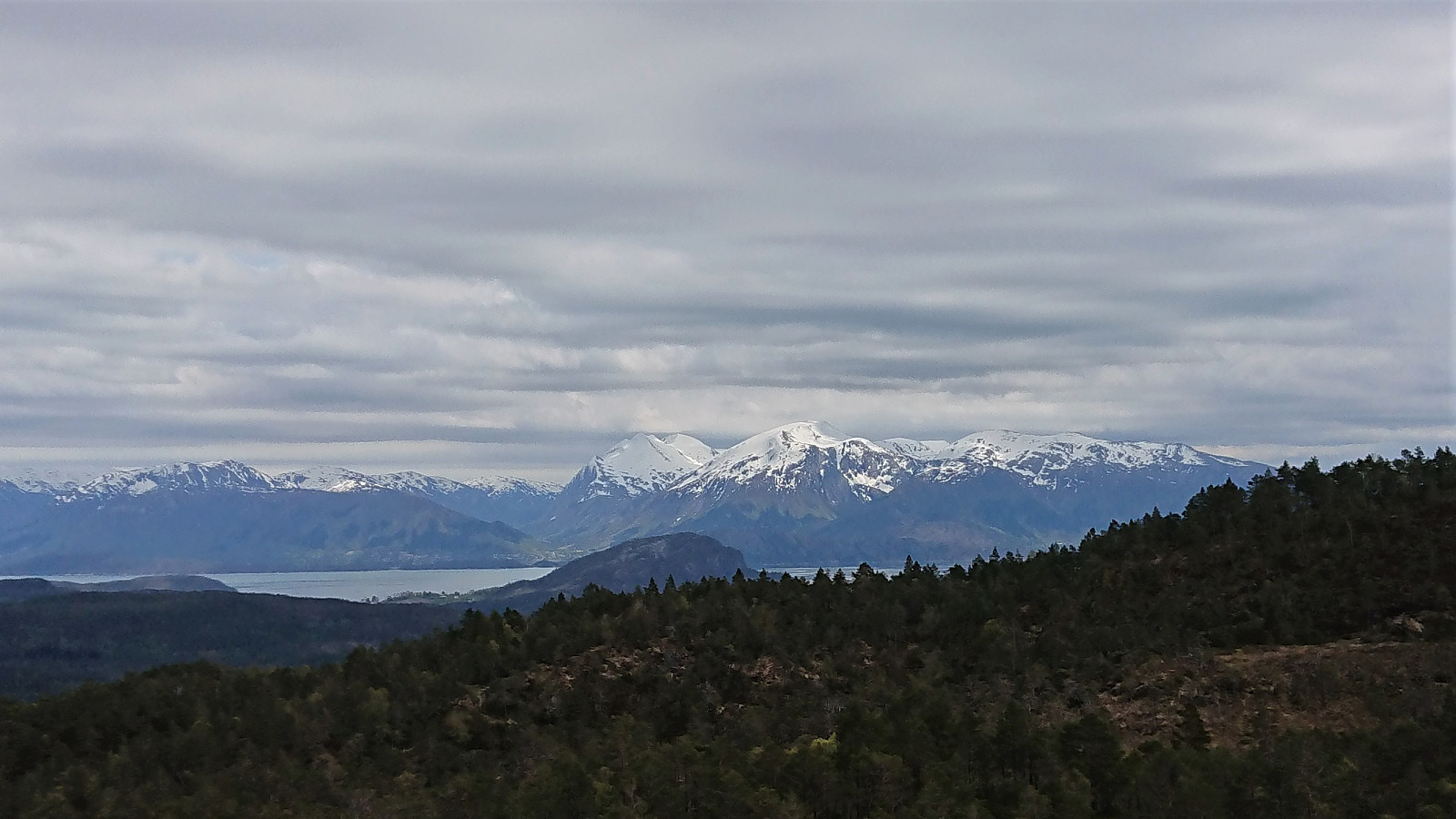
The best views were not obtained from south of the summit, which provided excellent southern views. Especially the snow-capped peaks of Englafjell and Manen stood out in the horizon. On the descent I skipped the summit of Kyrkjefjellet by following an alternative trail east of the summit. In summary, an excellent hike that can be highly recommended.

| Start date | 21.05.2020 14:12 (UTC+01:00 DST) |
| End date | 21.05.2020 15:52 (UTC+01:00 DST) |
| Total Time | 1h 40min |
| Moving Time | 1h 25min |
| Stopped Time | 0h 15min |
| Overall Average | 3.1km/h |
| Moving Average | 3.6km/h |
| Distance | 5.2km |
| Vertical meters | 305m |


User comments