
Gråsida, Steinhusfjellet and Stussfjellet (06.10.2019)

Written by hbar (Harald Barsnes)

| Start point | Gamlesæter (82m) |
|---|---|
| Endpoint | Gamlesæter (83m) |
| Characteristic | Hillwalk |
| Duration | 5h 05min |
| Distance | 16.4km |
| Vertical meters | 1,300m |
| GPS |
|
| Ascents | Gråsida (661m) | 06.10.2019 |
|---|---|---|
| Steinhusfjellet (632m) | 06.10.2019 | |
| Stussfjellet (686m) | 06.10.2019 | |
| Visits of other PBEs | Stussdalen-Sætravatnet kr. 40 (220m) | 06.10.2019 |
Gråsida, Steinhusfjellet and Stussfjellet
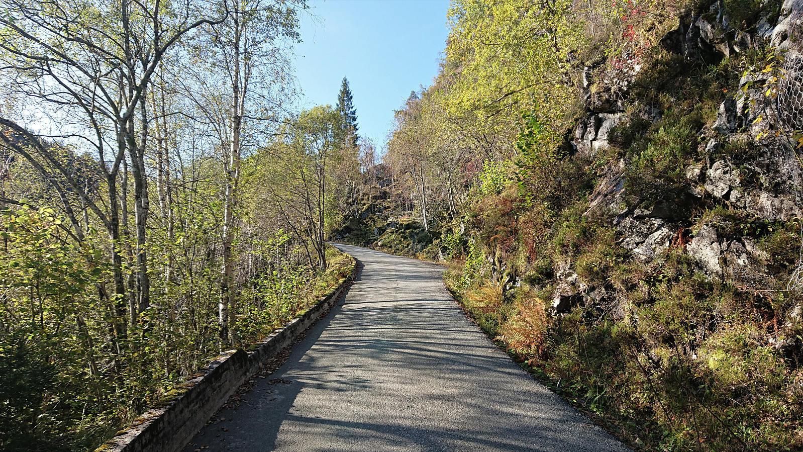
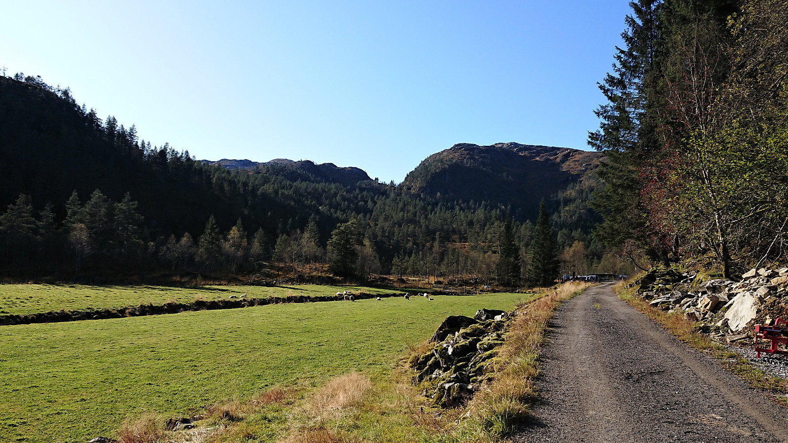
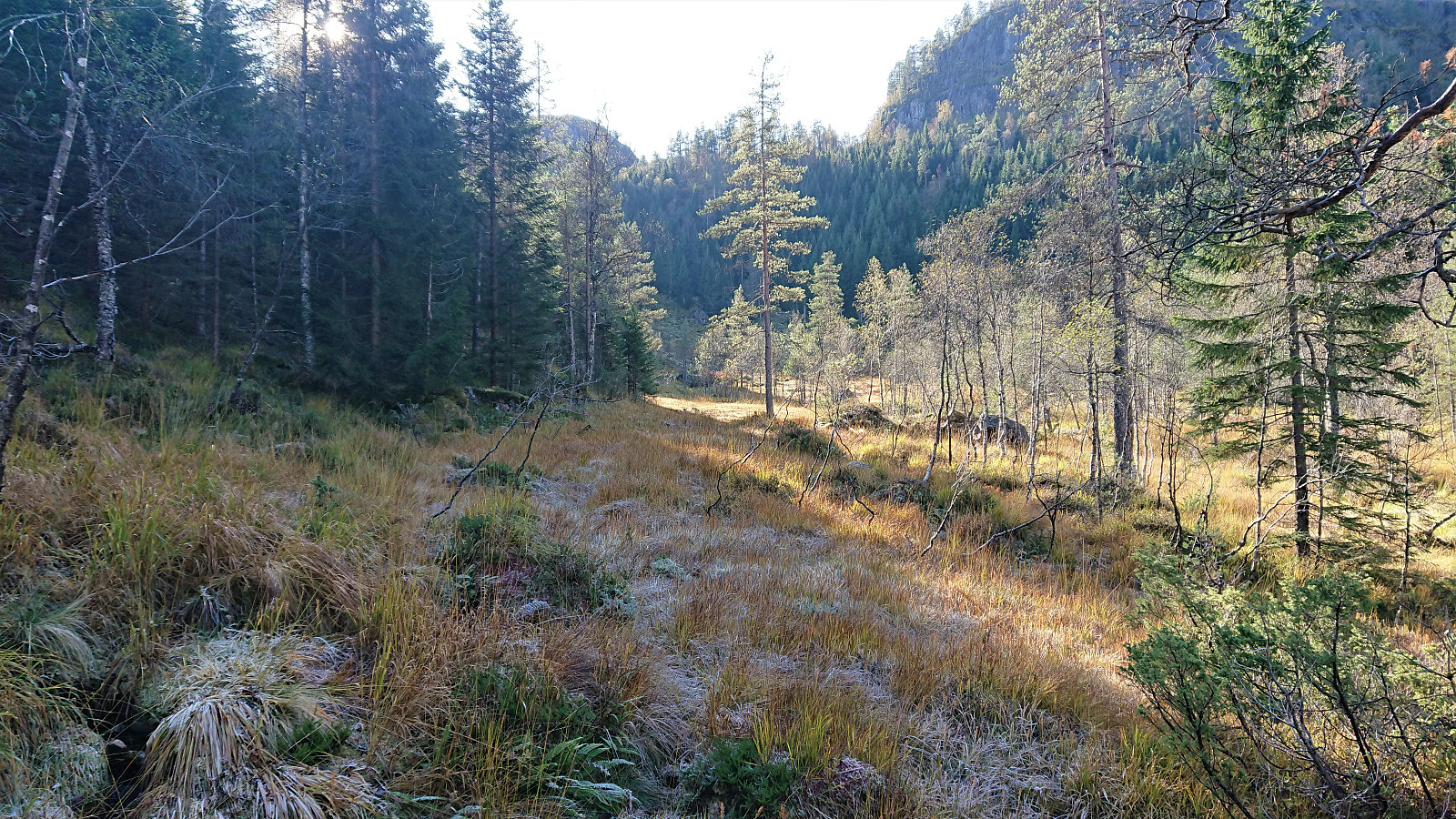
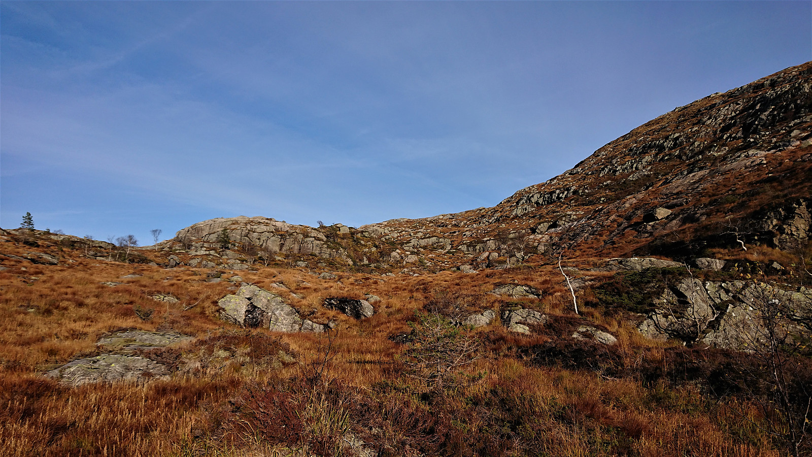
A return to Stussdalen, but this time on my own and without a car, thus the hike started from the bus stop at Gamlesæter and with a walk up Stussdalen. Just before the road turns north towards the parking lot at Øvre Sætravatnet I crossed the small river and headed south, coming across some deer tracks, but mainly having to find my own way.
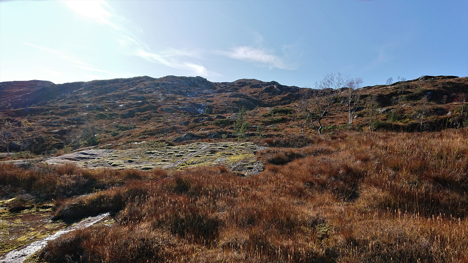
I took the advice from knutsverre (Knut S. Andersen)'s trip report and waited a bit before finally turning southwest towards the summit of Gråsida. My ascent was therefore straightforward and did not present any challenges. I still conferred with my GPS several times though, as even after leaving the trees behind the exact direction for the summit was not obvious, given the several options to choose from.
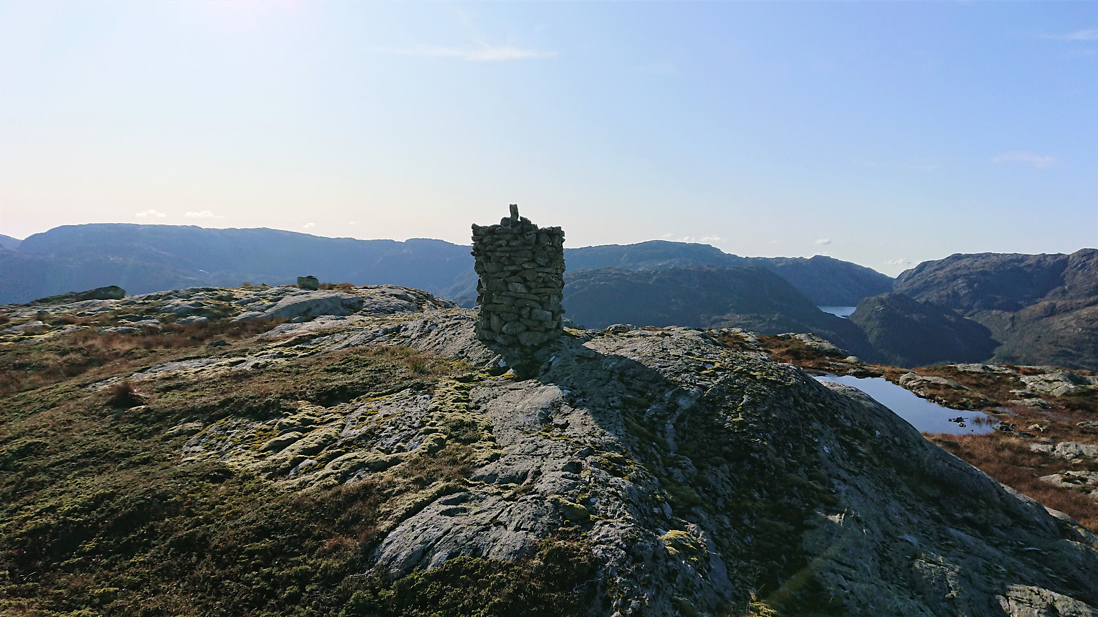
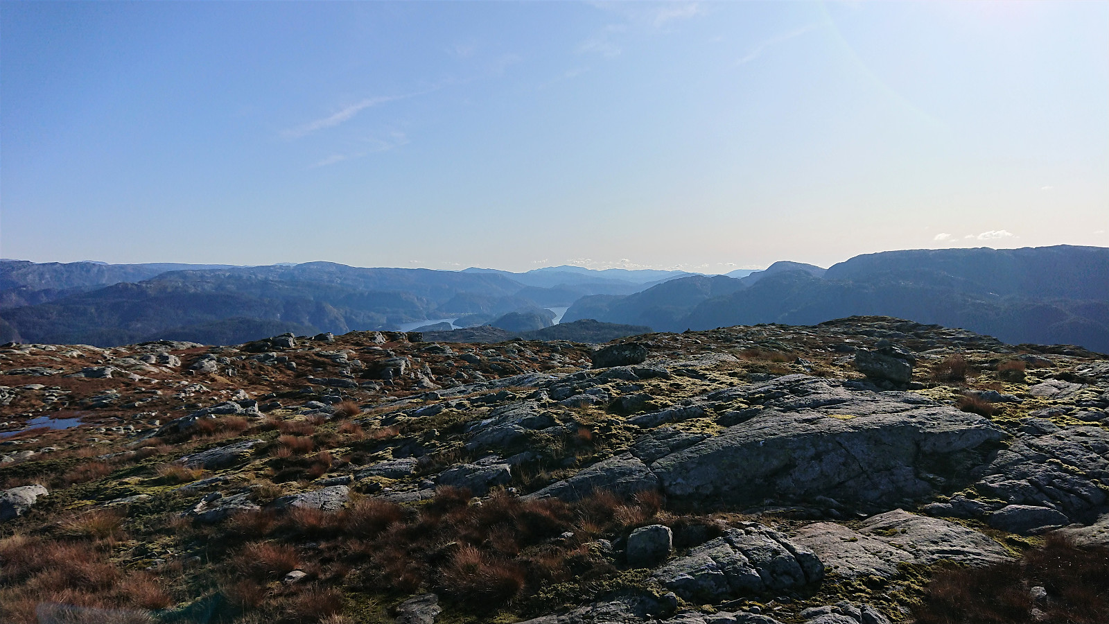
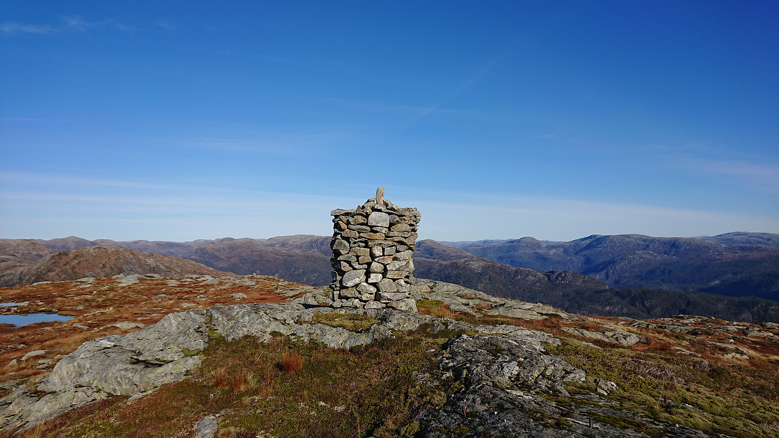
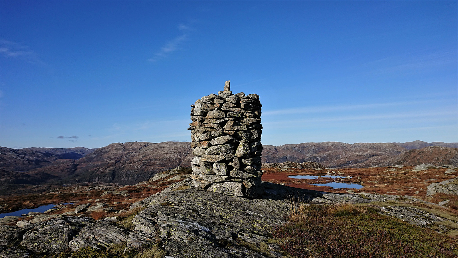
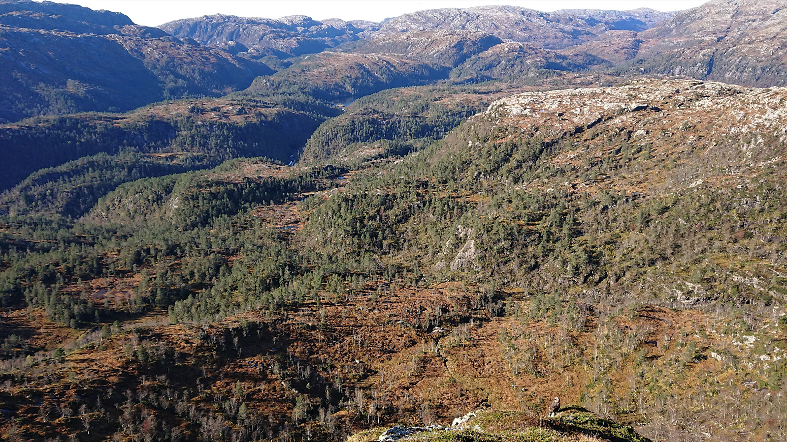
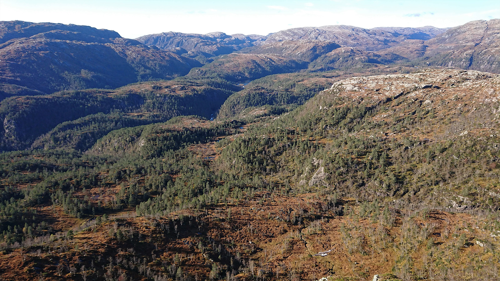
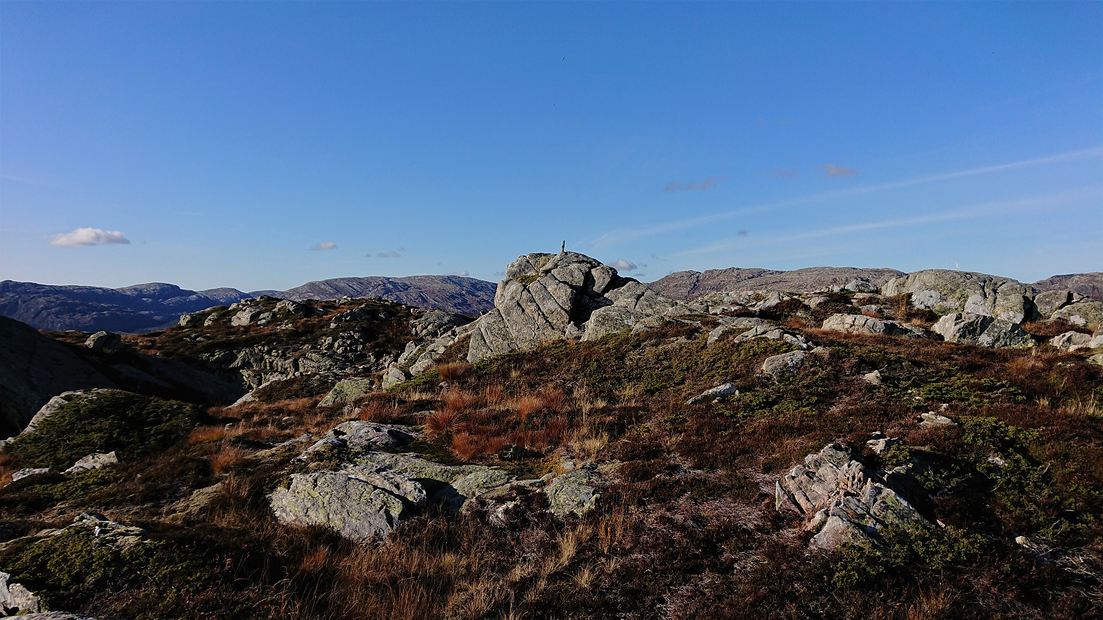
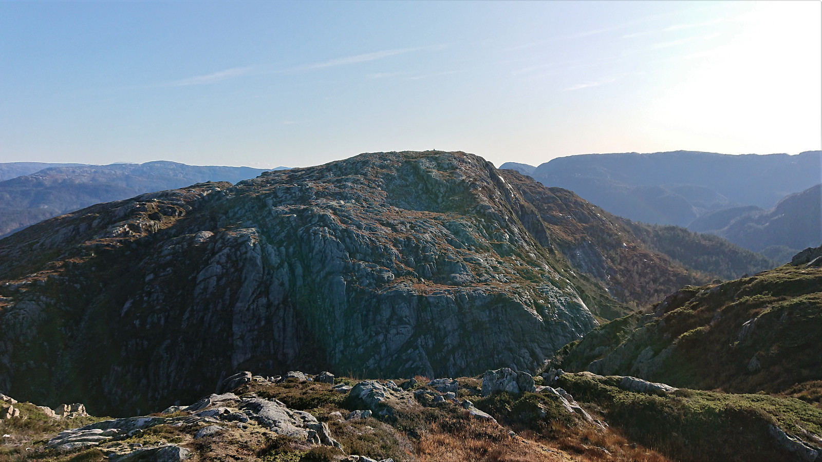
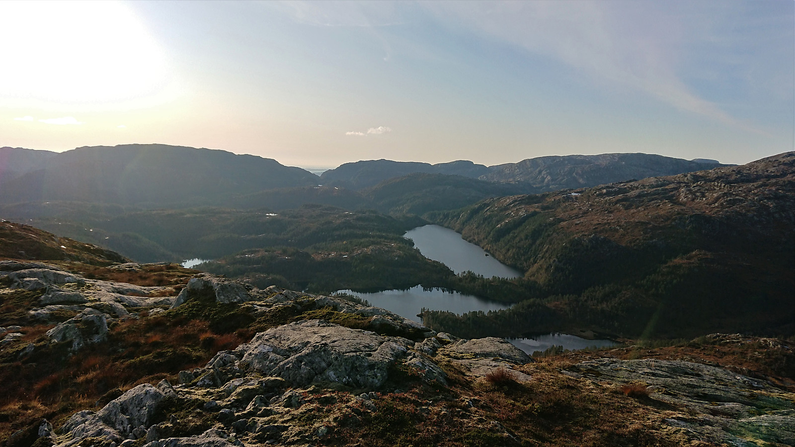
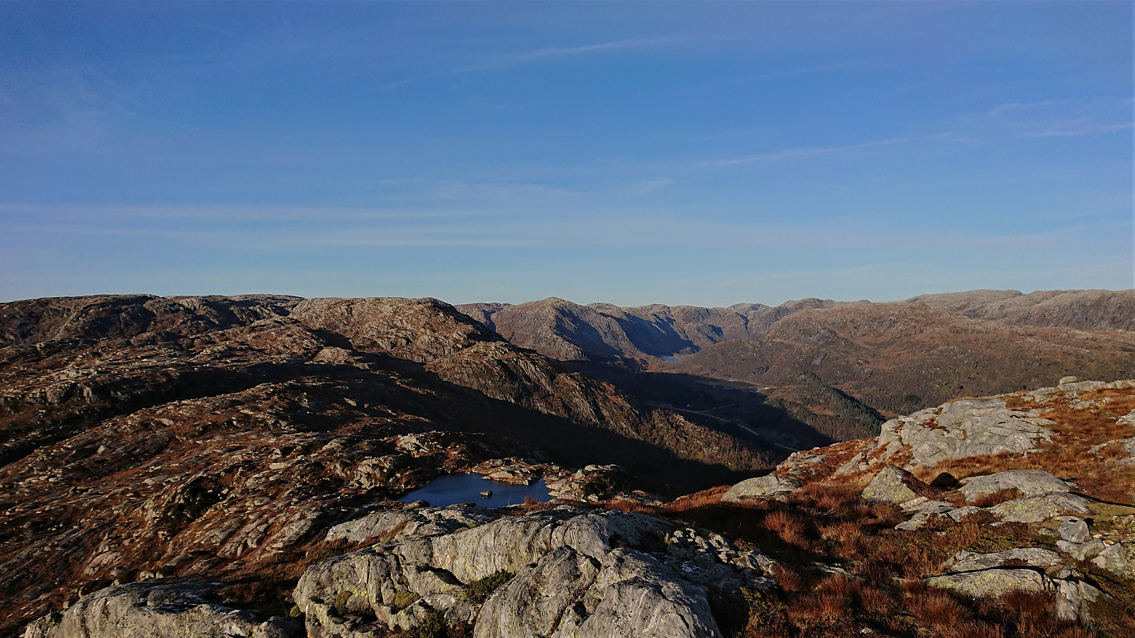
When getting closer, the summit was however clearly marked by a large cairn and the thus easy to spot. From the cairn I moved west, as the map there indicated a nice view into the valley below. What the map did not indicate were the two large golden eagles (i.e. kongeørn) that took off just as I took my first pictures of the view! Luckily I managed to get them both on camera before they quickly disappeared in the distance.
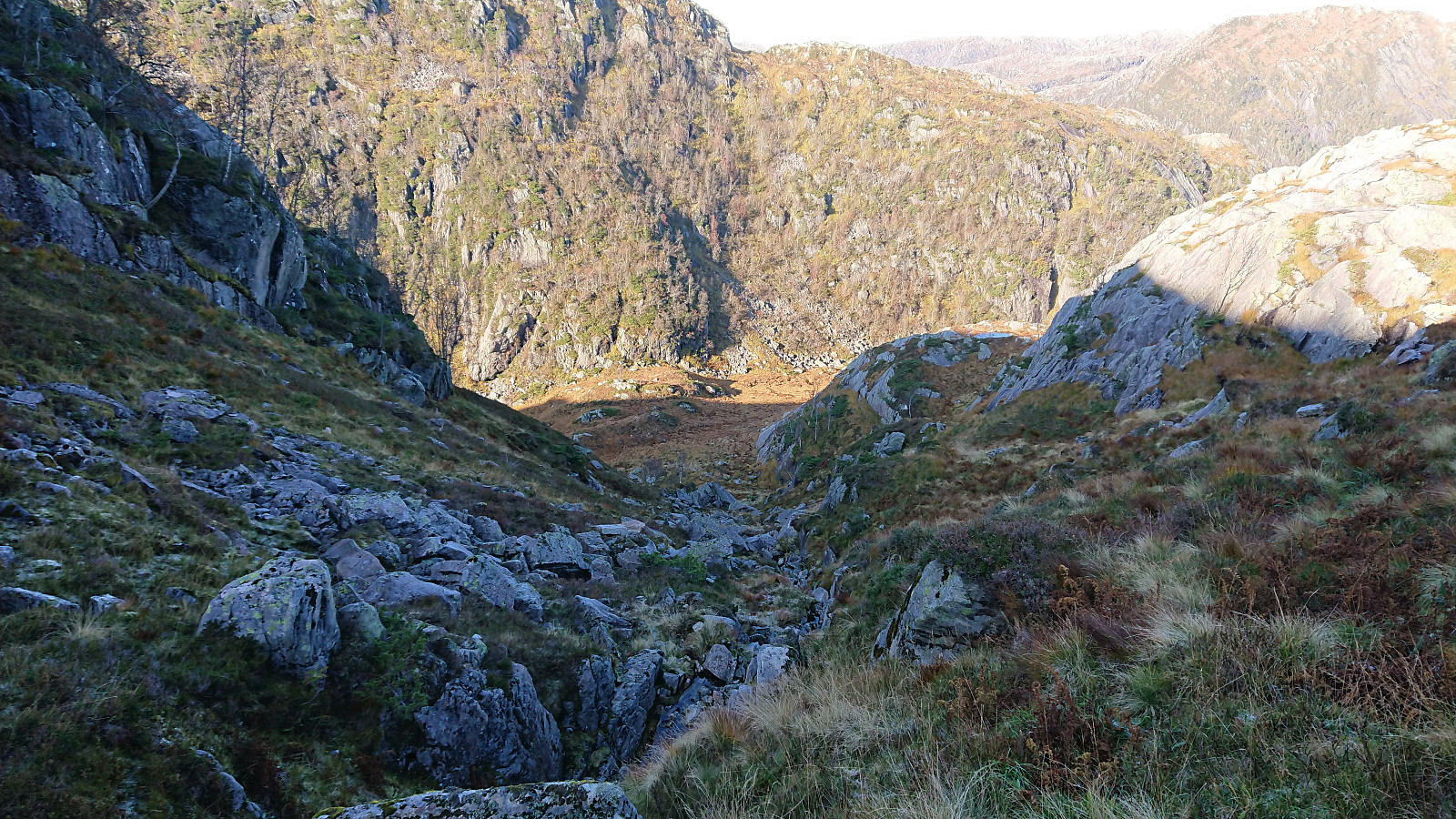
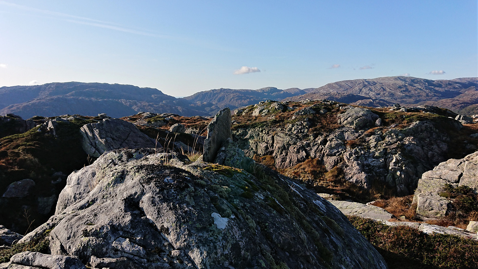
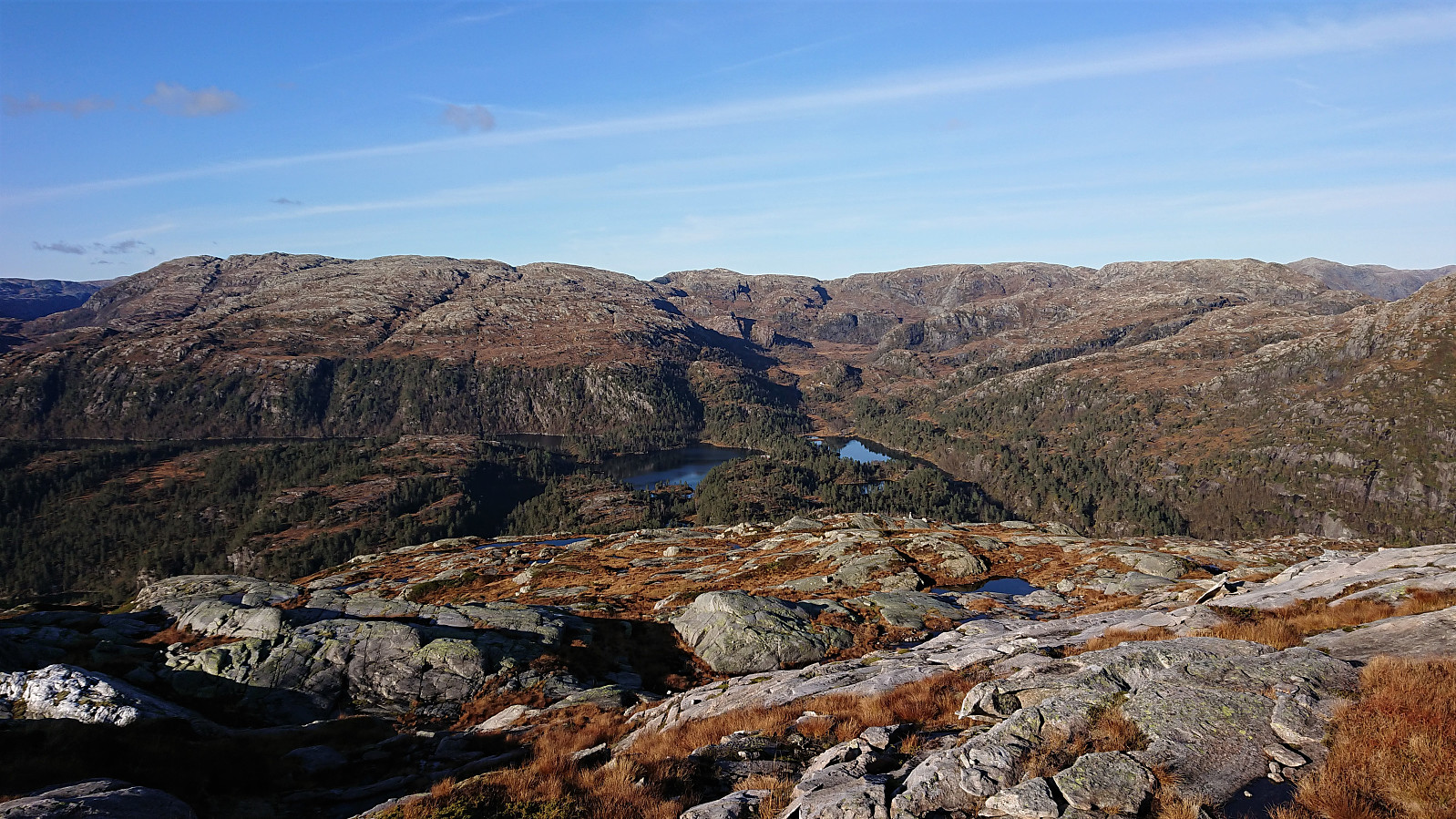
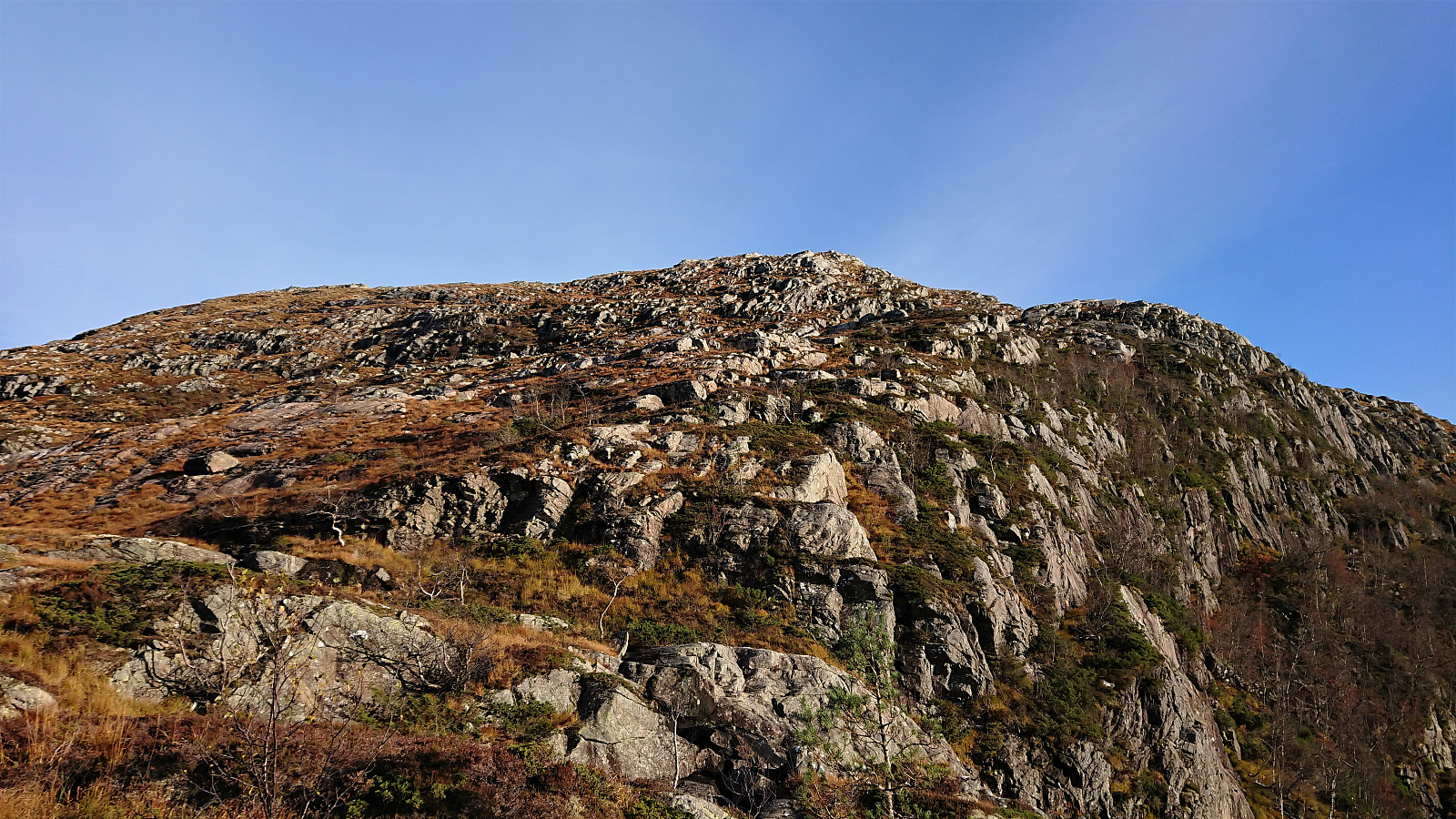
My plan was now to follow in Stigun' footsteps and use his suggested shortcut to Steinhusfjellet. The descent into Steinhusgjellet was a positive surprise and did not even require any light climbing. From a distance the ascent to Steinhusfjellet looked rather steep, but upon closer inspection it did not appear difficult after all, and the small lake east of the summit was reached without any issues. No light climbing required here either, although clearly much steeper than most normal trails.
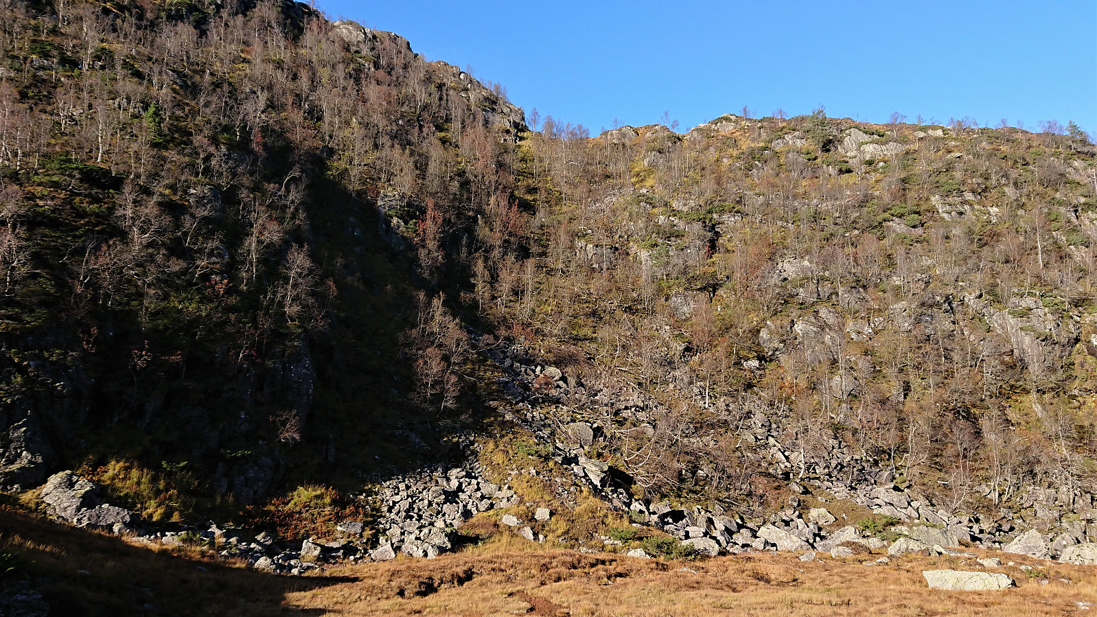
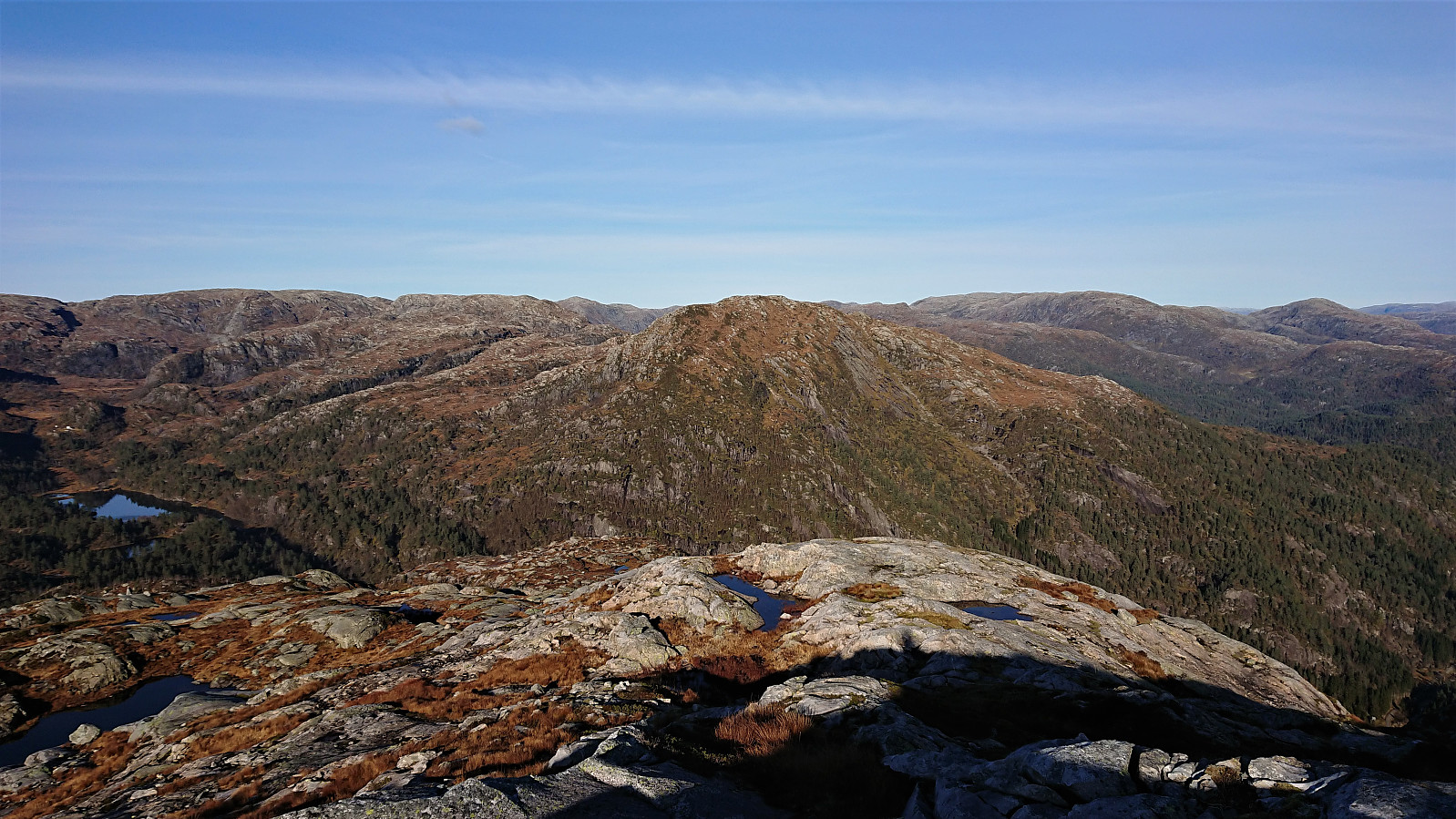
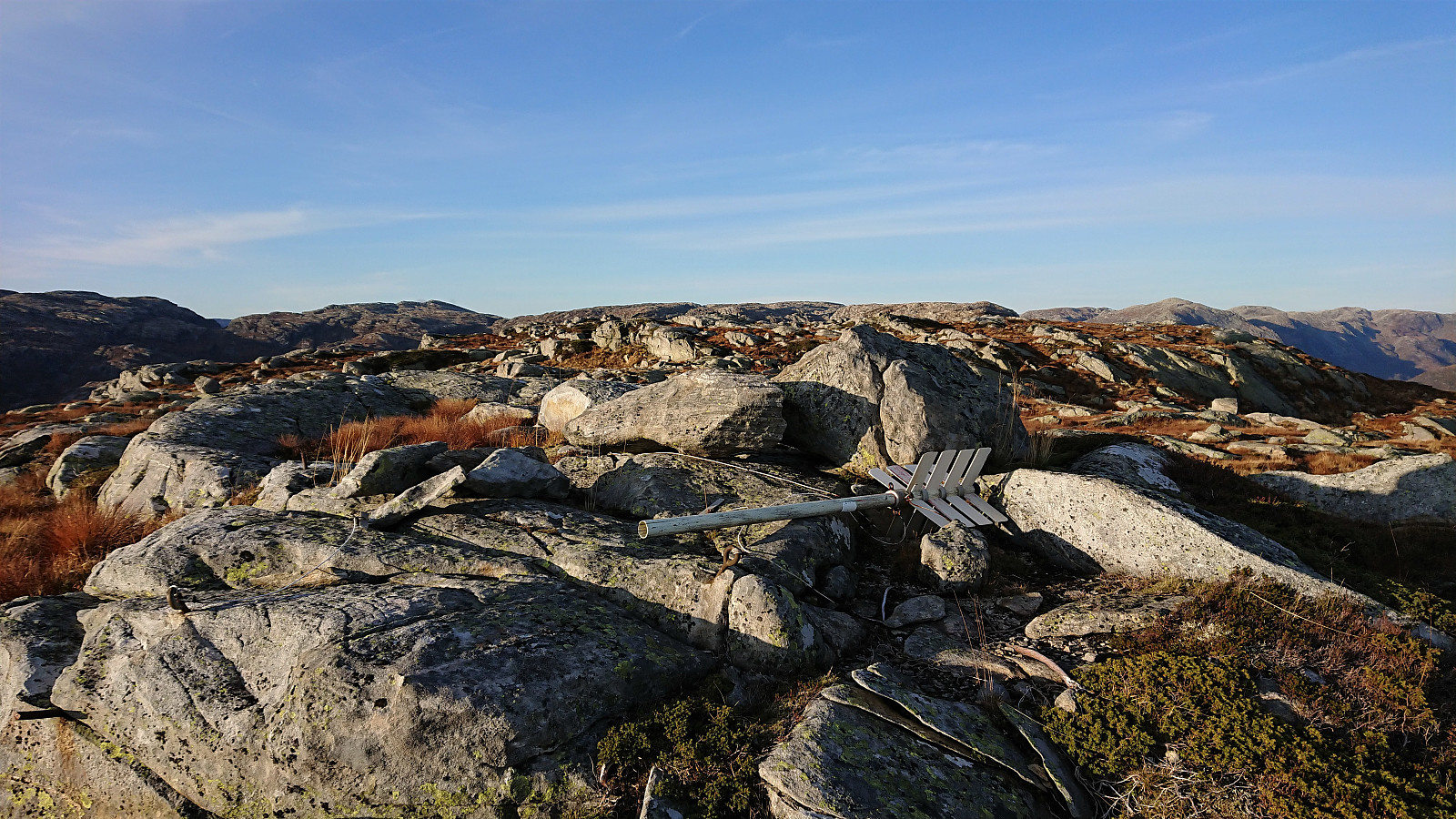
The final ascent to Steinhusfjellet was straightforward and the summit easily located. After also visiting some smaller summits to the west, I turned northeast towards my final goal of the day: Stussfjellet. My plan was to quickly connect with the gravel road and from there locate the trailhead. This however turned out to be more complicated than expected, mainly due to my choice of following the eastern ridge instead of the western one which seems to be the one used by other hikers. Progress started out ok, but I later ended up in some steepish terrain, made more challenging by the exposed rock either being wet or icy, and I therefore had to go a bit back and forth to find a reasonable route.
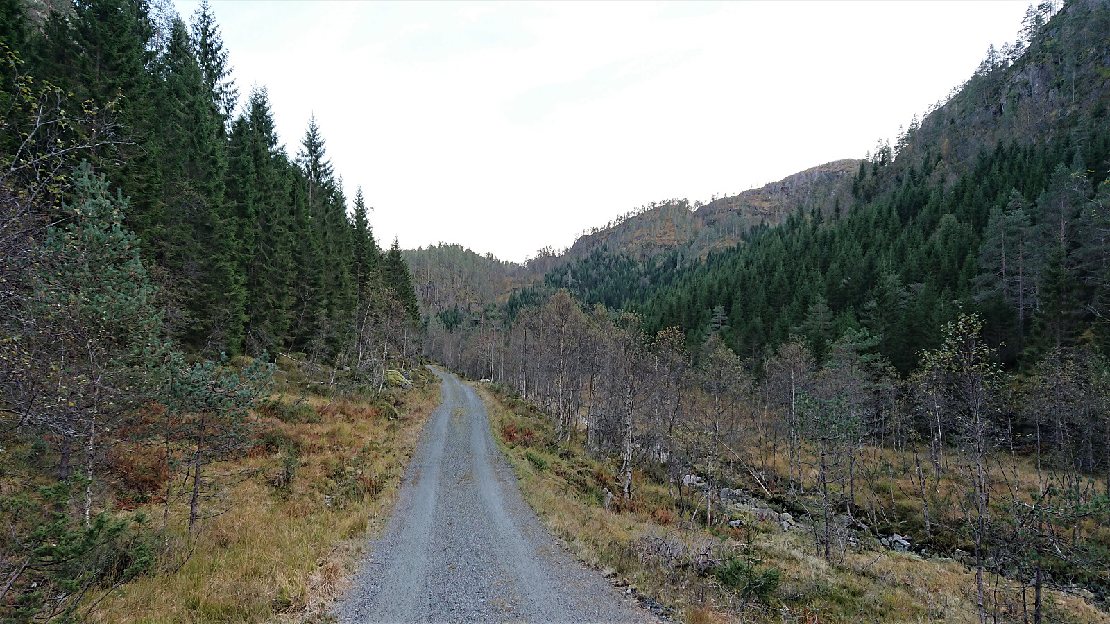
Upon finally reaching the gravel road, I started searching for the trailhead, making it all the way to the parking lot without any success. My rescue was a picture of the trailhead from knutsverre (Knut S. Andersen)'s trip report from Stussdalsfjellet, and with this information I was in the end able to locate the start of a weak trail northeast.
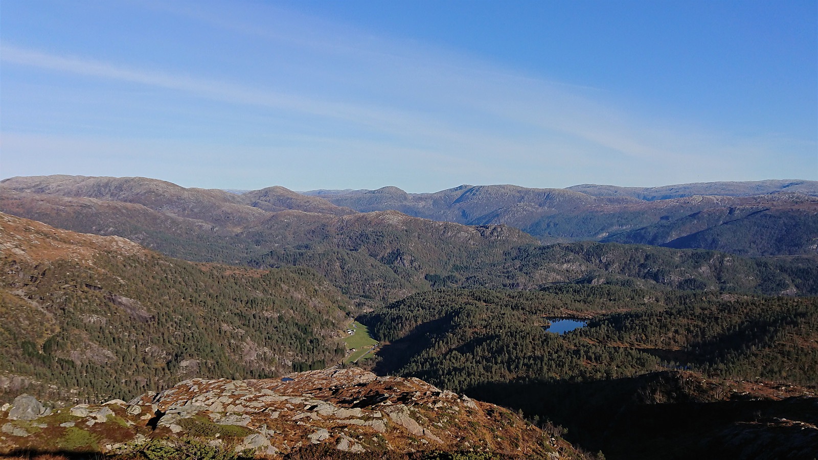
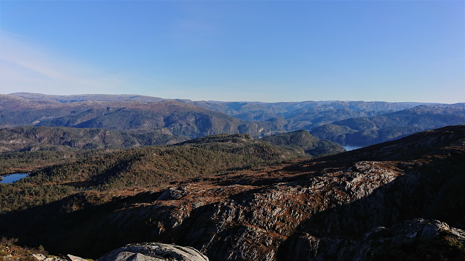
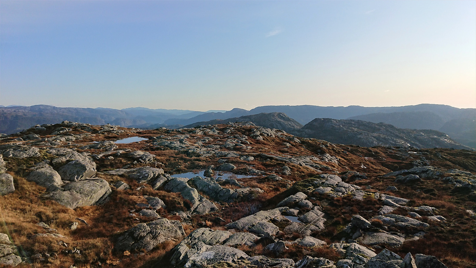
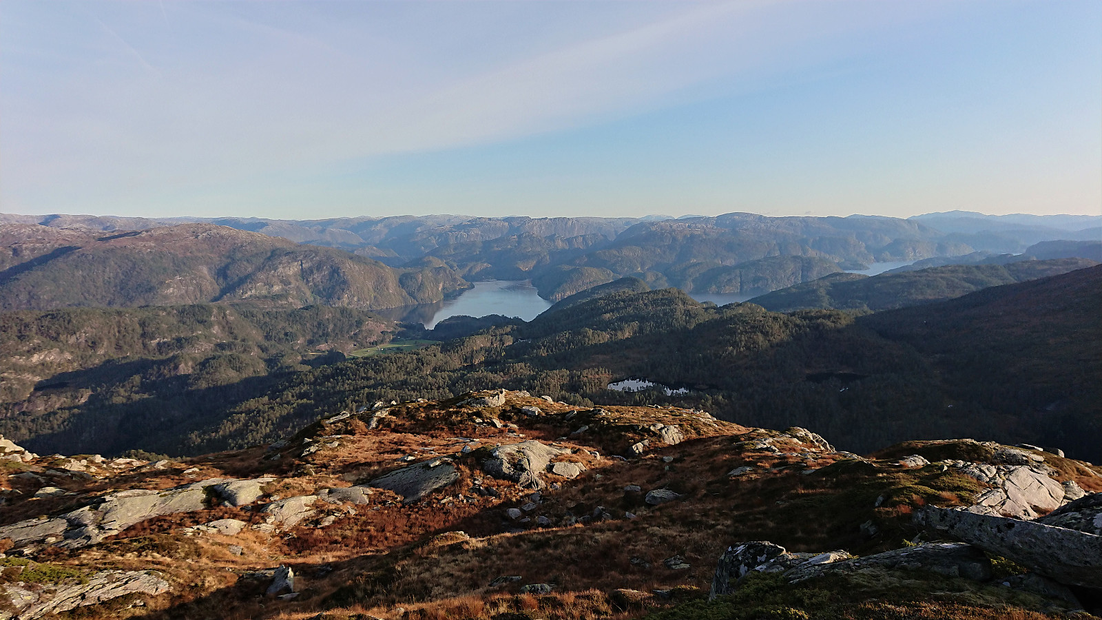
The trail soon more or less disappeared though, and instead of spending a lot of time trying to follow the weak trail, I simply made my own way up along the small river. Southwest of the small lake west of the summit, the terrain levelled off and I considered heading straight for the summit. This would seem to include some rather steep areas though, so I instead continued northeast for a while longer before finally turning south and heading straight for the summit, thus managing to avoid the steepest sections.
More of a summit area than a clear highest point, but still with nice views in all directions. I continued south to the fallen trig marker, where I had a short break including a quick bite before starting my descent, following more or less the same route, but going even further east to avoid the steepest areas from the ascent. I made it to the gravel road with almost an hour remaining for the bus back to Bergen, and thus arrived at the bus stop at Gamlesæter with 15 minutes to spare.
In summary, a nice hike that went even smoother than expected due to the surprisingly straightforward shortcut between Gråsida and Steinhusfjellet. Note that almost all of the hike, except for the walk along the road, was without any trails though, although it is most likely possible to find a better descent from Steinhusfjellet than the one I used. The clear highlight of the hike was in any case the two eagles spotted at Gråsida. I cannot guarantee that they will be there for the next visit though... ;)
| Start date | 06.10.2019 13:49 (UTC+01:00 DST) |
| End date | 06.10.2019 18:54 (UTC+01:00 DST) |
| Total Time | 5h 05min |
| Moving Time | 4h 43min |
| Stopped Time | 0h 21min |
| Overall Average | 3.2km/h |
| Moving Average | 3.5km/h |
| Distance | 16.4km |
| Vertical meters | 1,299m |


User comments