
Svekanen, Krossane and Gladihaug (07.06.2018)

Written by hbar (Harald Barsnes)

| Start point | Furuberget (68m) |
|---|---|
| Endpoint | Flatøy (43m) |
| Characteristic | Hillwalk |
| Duration | 4h 40min |
| Distance | 16.8km |
| Vertical meters | 931m |
| GPS |
|
| Ascents | Gladihaug (430m) | 07.06.2018 |
|---|---|---|
| Krossane (399m) | 07.06.2018 | |
| Storevarden (357m) | 07.06.2018 | |
| Svekanen (260m) | 07.06.2018 | |
| Visits of other PBEs | Krossane utsiktspunkt nord (397m) | 07.06.2018 |
Svekanen, Krossane and Gladihaug
Svekanen
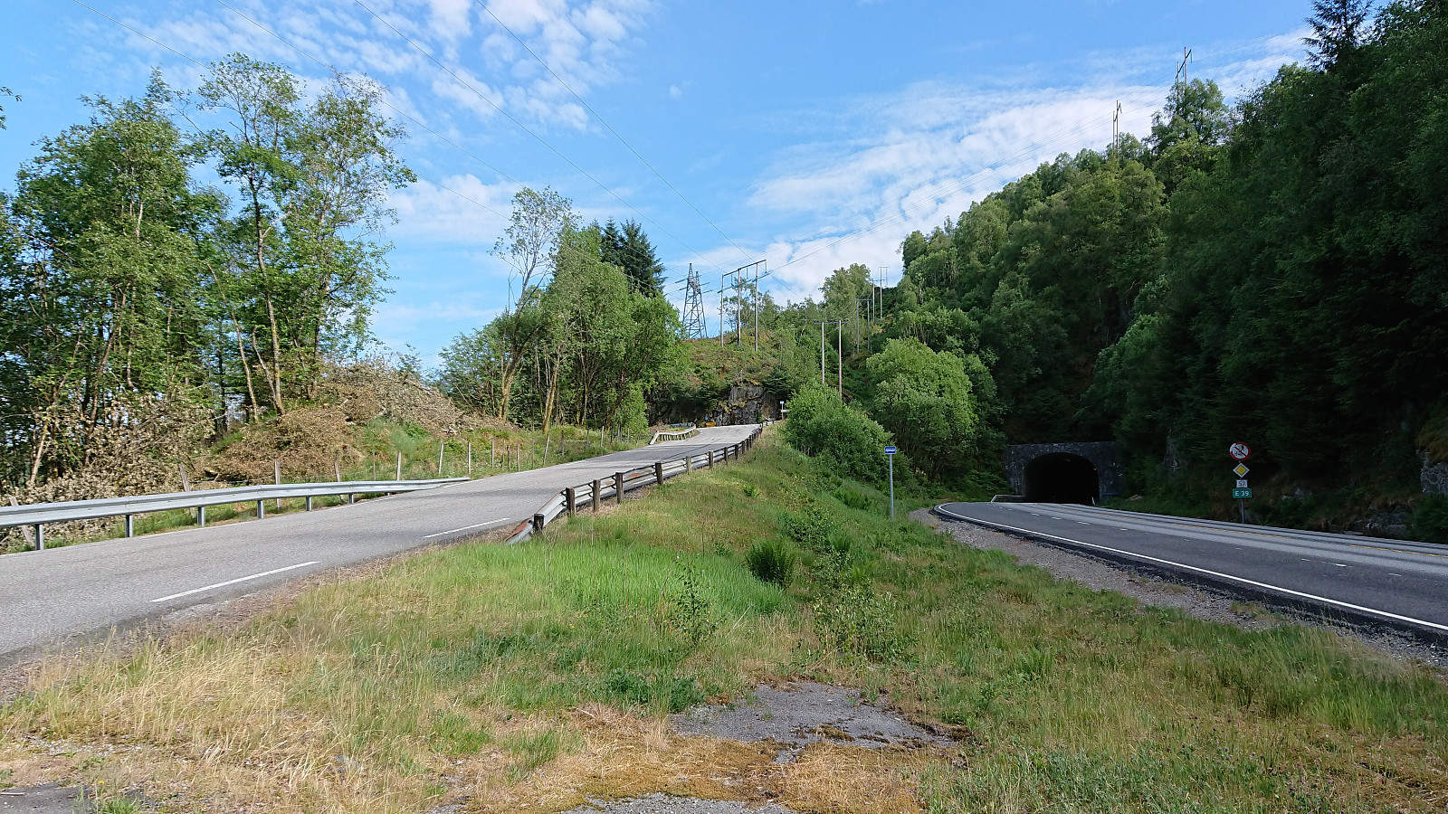
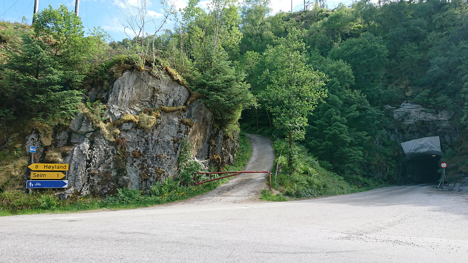
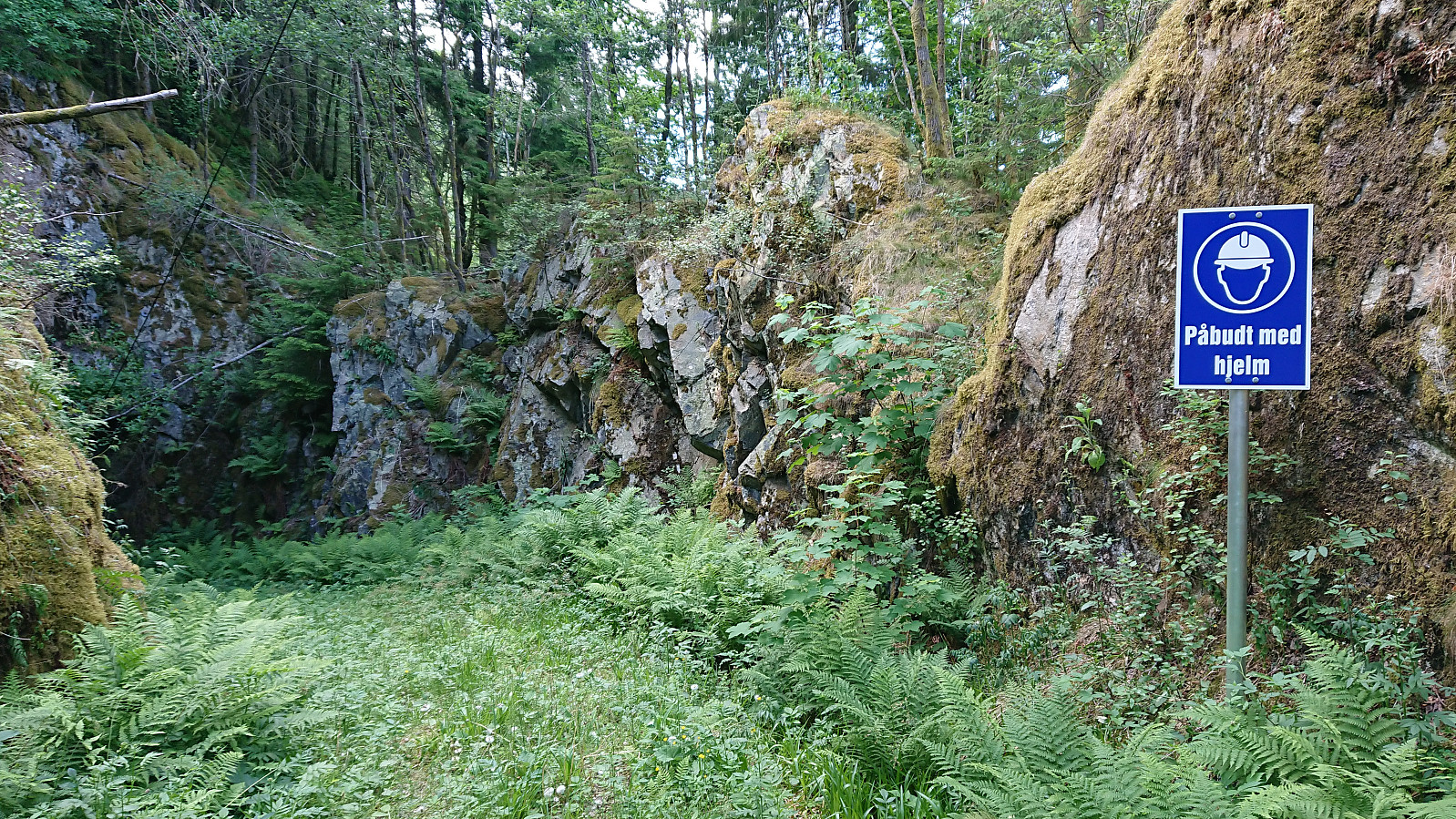
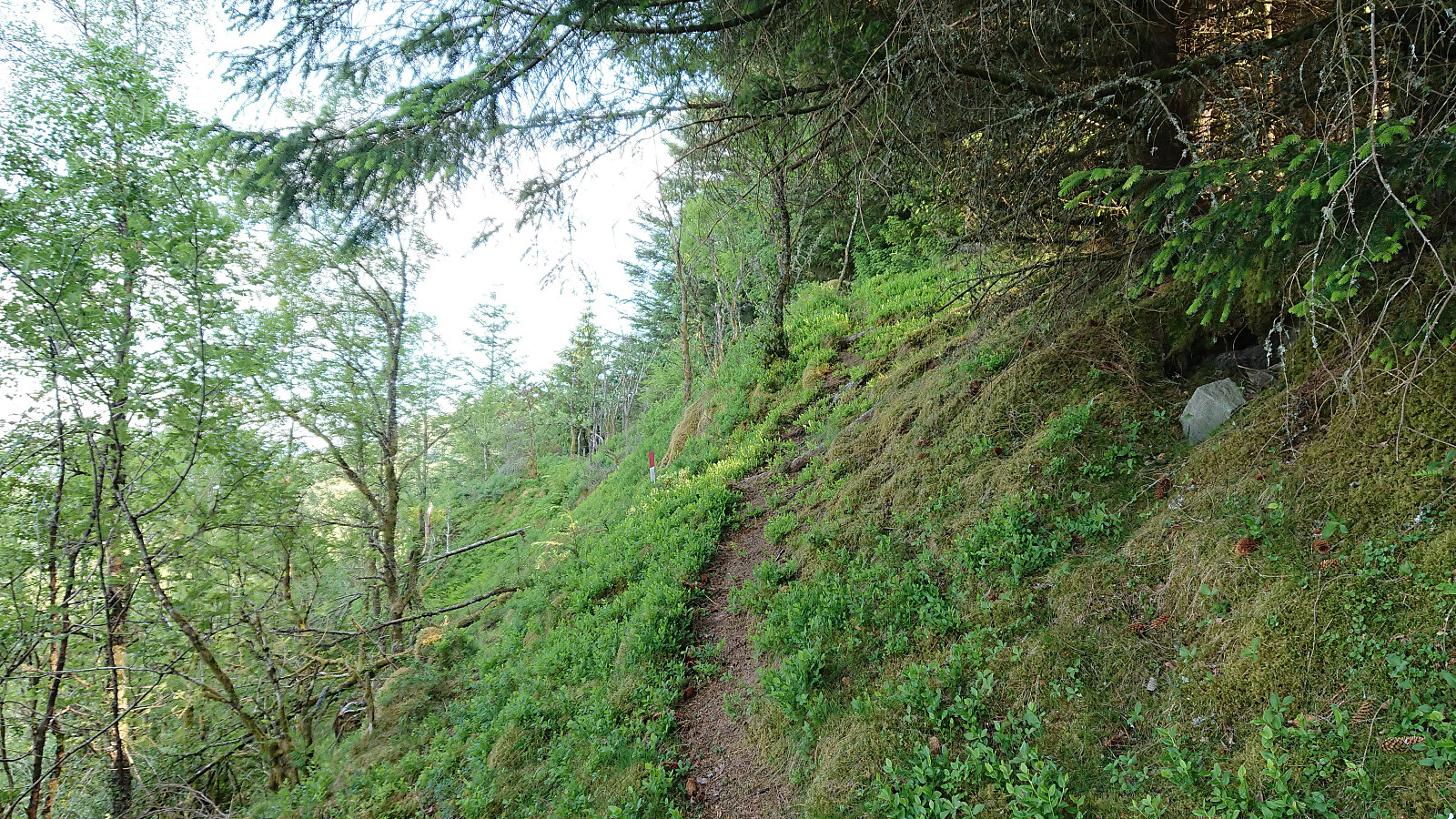
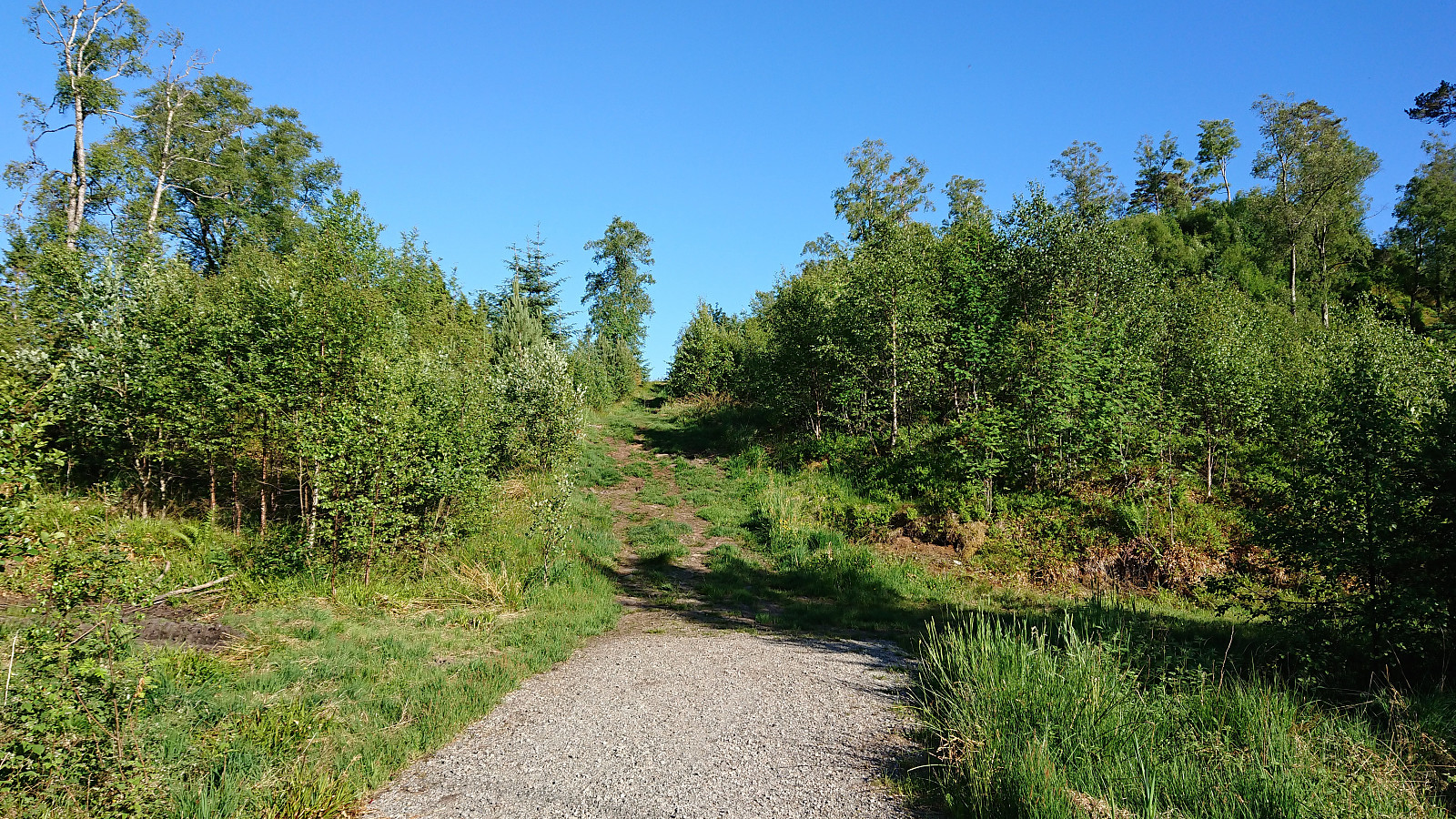
Started by taking the bus to Furuberg and, with the help of previous PB-reports, easily located the road towards Svekanen. I did however miss the trailhead, even though it was marked, and ended up following the road a bit too far. On my return I easily located the trailhead, which had been slightly hidden by a tree.
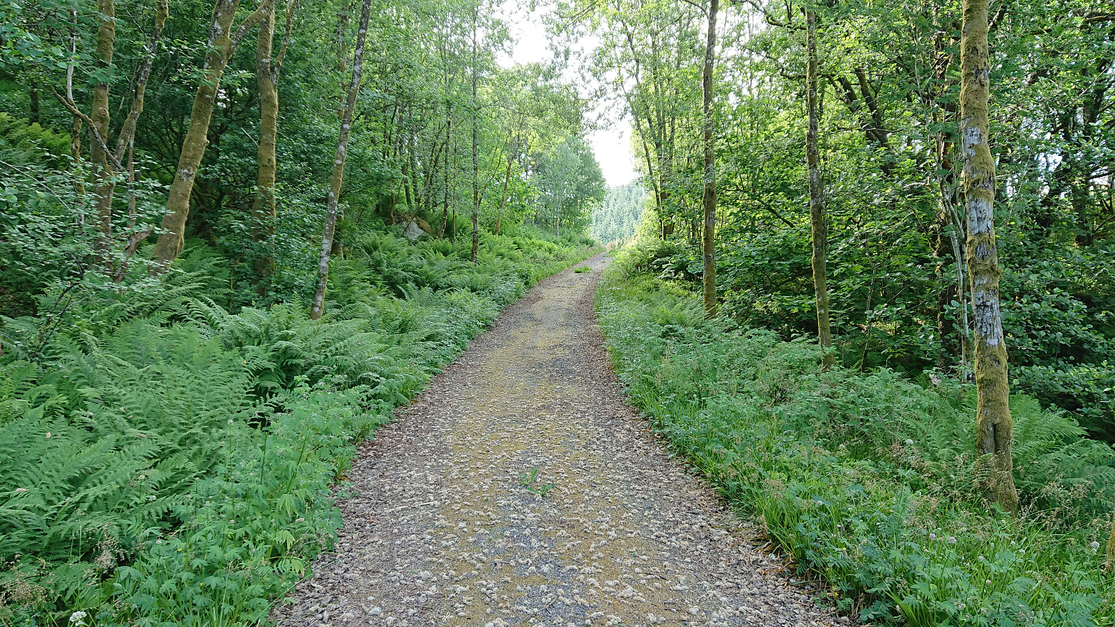
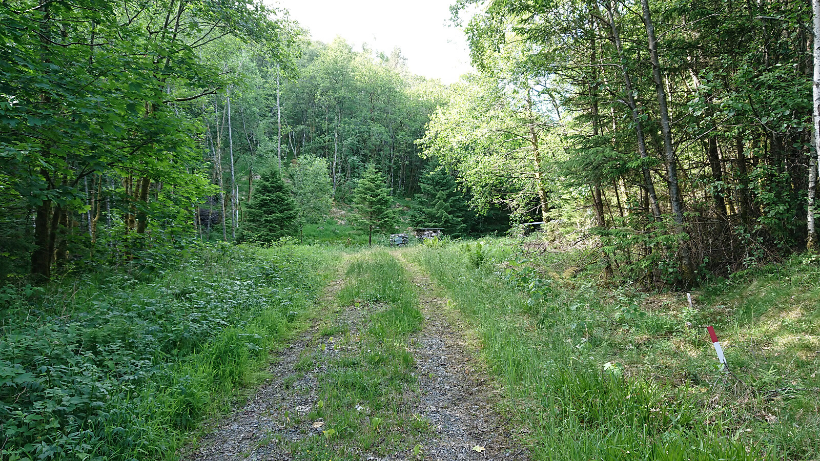
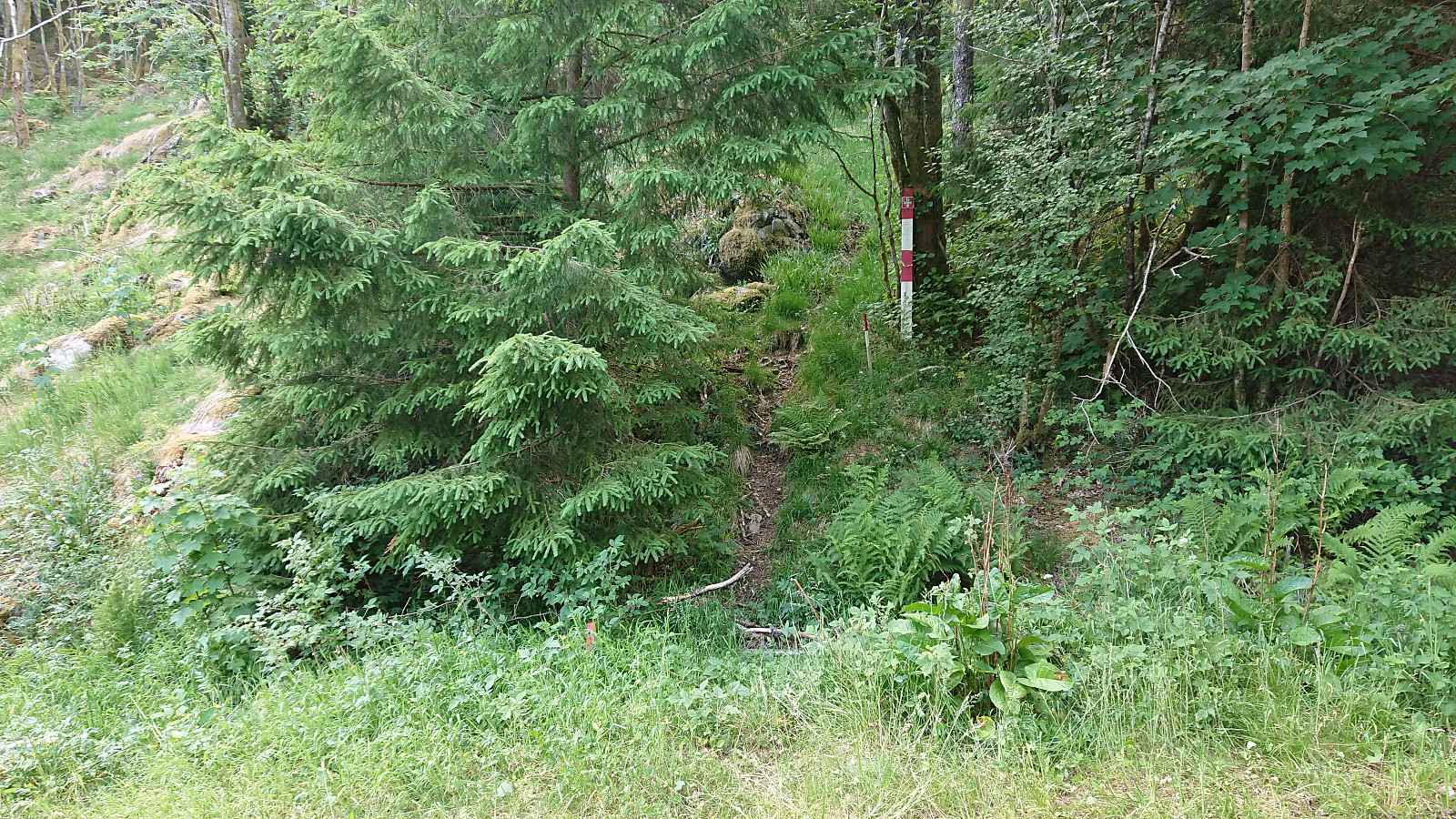
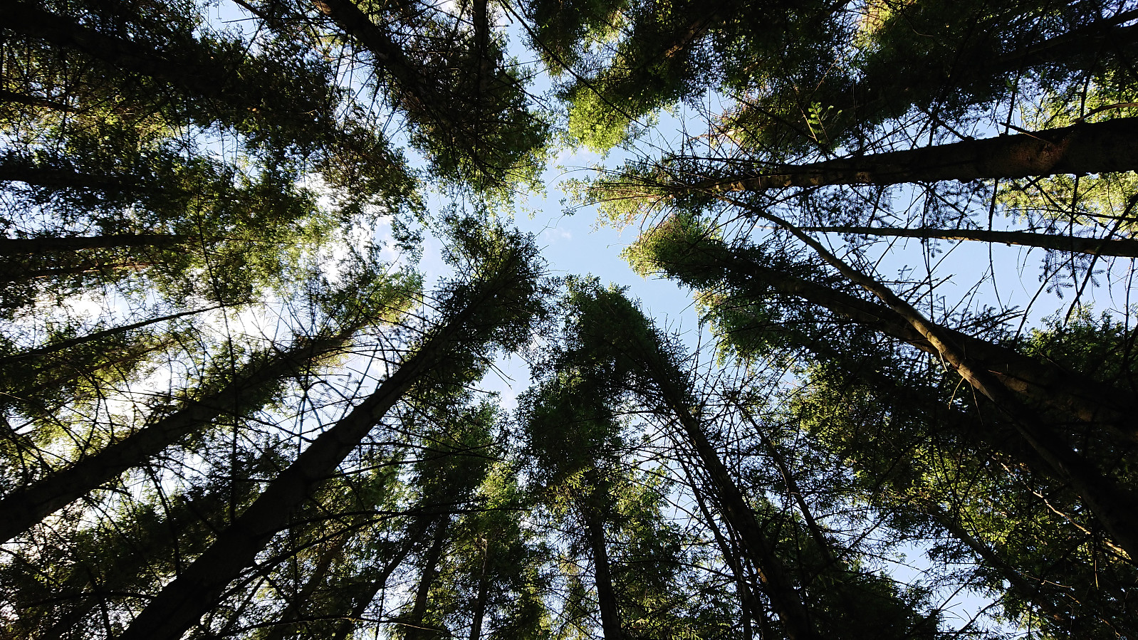
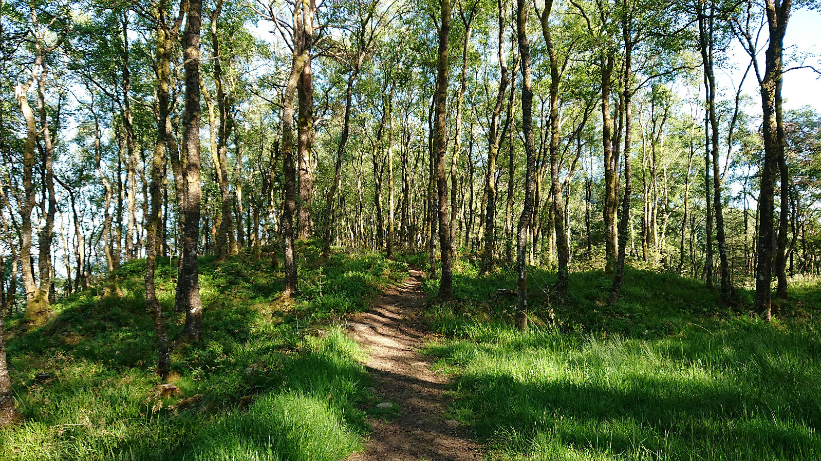
The trail itself was also marked, but at times the markers were more easily spotted than the trail itself. This improved just before the trail entered the dense forest, which is also where the best views, predominantly to the east, could be obtained. From there on there were pretty much no views at all. And while the trail markers were still there, it was not always clear where the trail continued.
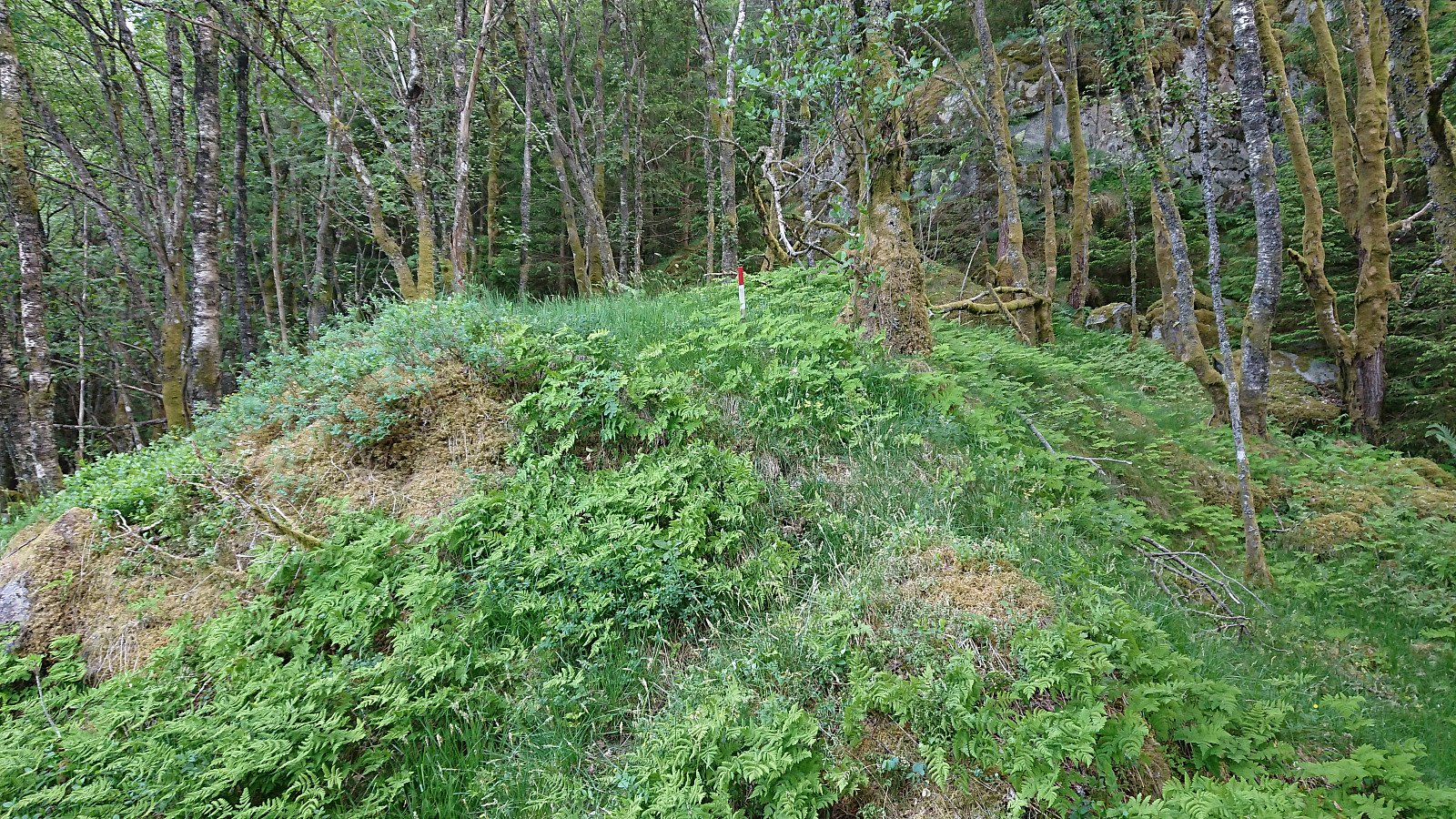
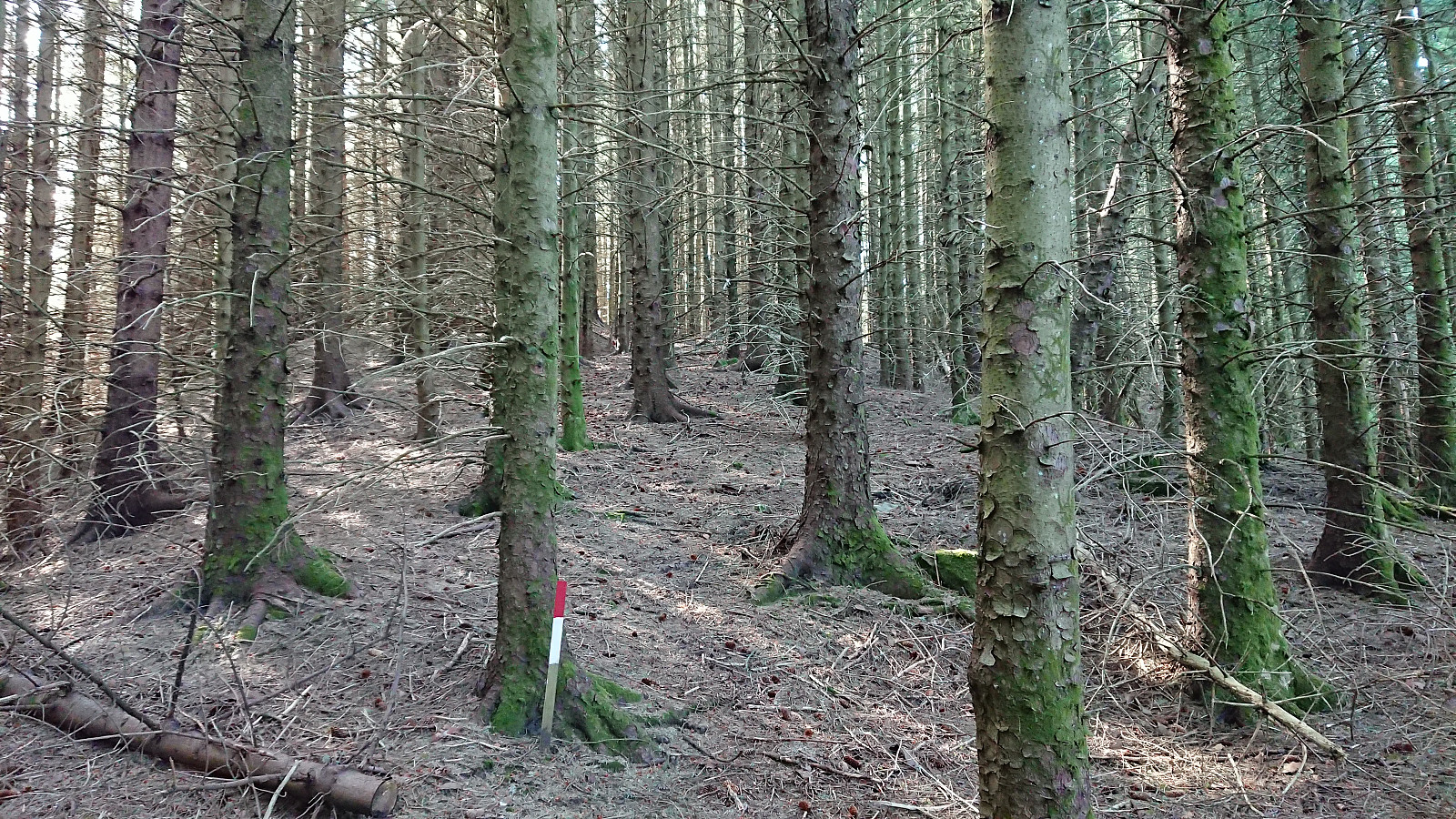
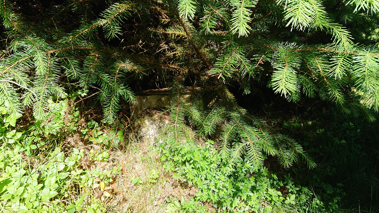
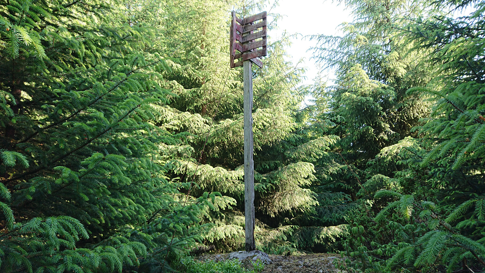
The summit area did contain a visitor register, but it was very well hidden, and I would not have located it if was not for other reports mentioning its existence. The visitor register is however not at the summit itself, and I struggled a bit to figure out how to reach the trig marker indicating the summit, which I knew from Knut Sverre's report should be there. The problem was that the forest had gotten a lot denser since this 2012 report (as can be clearly seen by comparing the pictures from 2012 and 2018).
But after fighting my way through the dead, dry, and pointy forest, I did in the end manage to reach the trig marker. Although in hindsight, shorts and t-shirt was probably not the best choice for this particular activity... The trig marker was still standing, but provided zero views and can be skipped by most hikers.
Krossane and Gladihaug
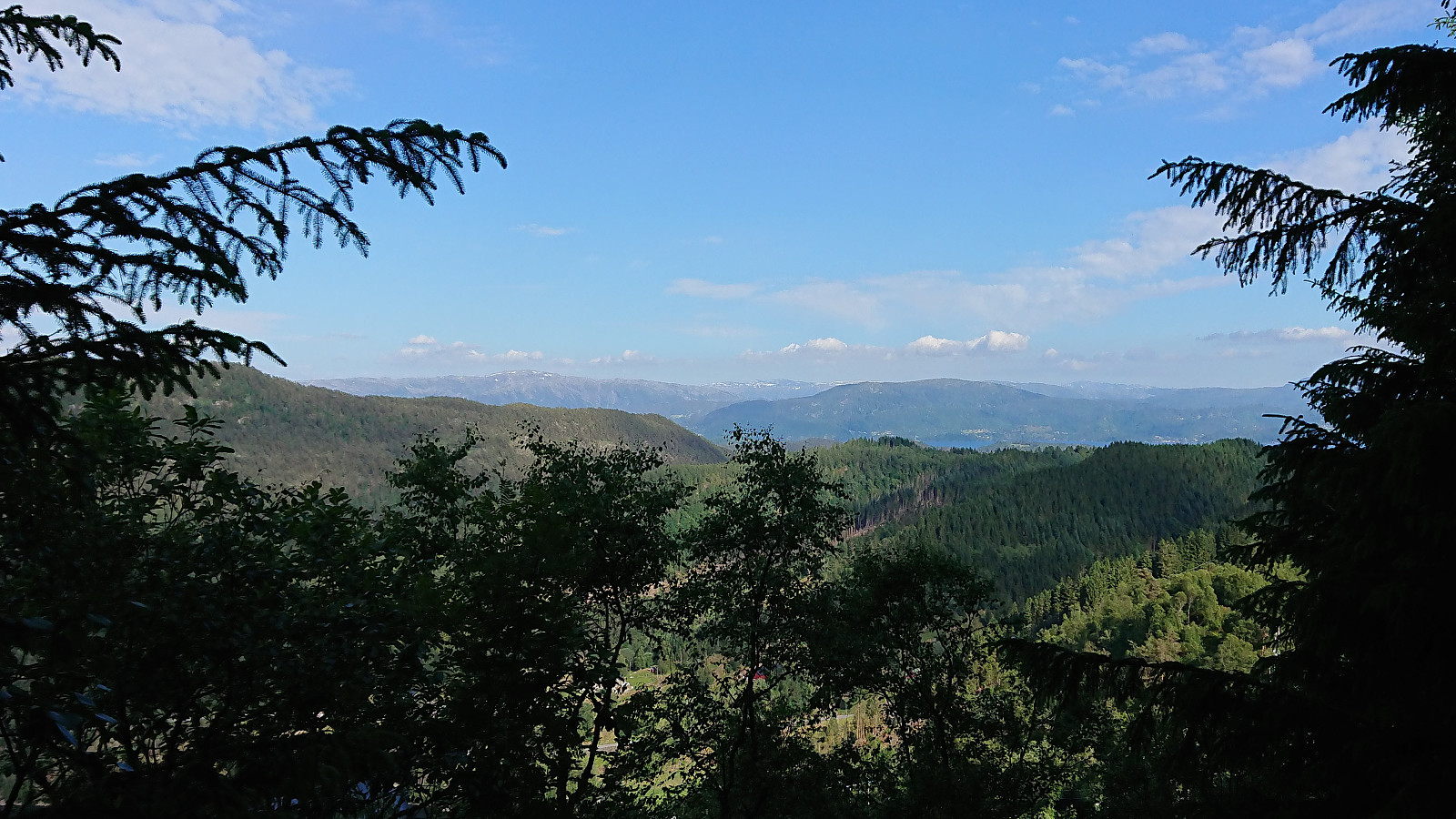
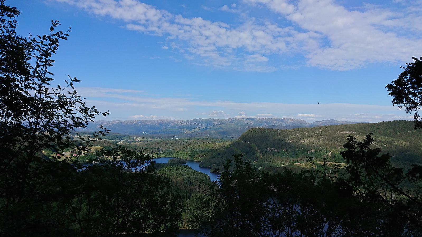
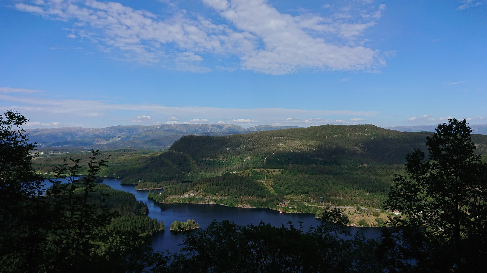
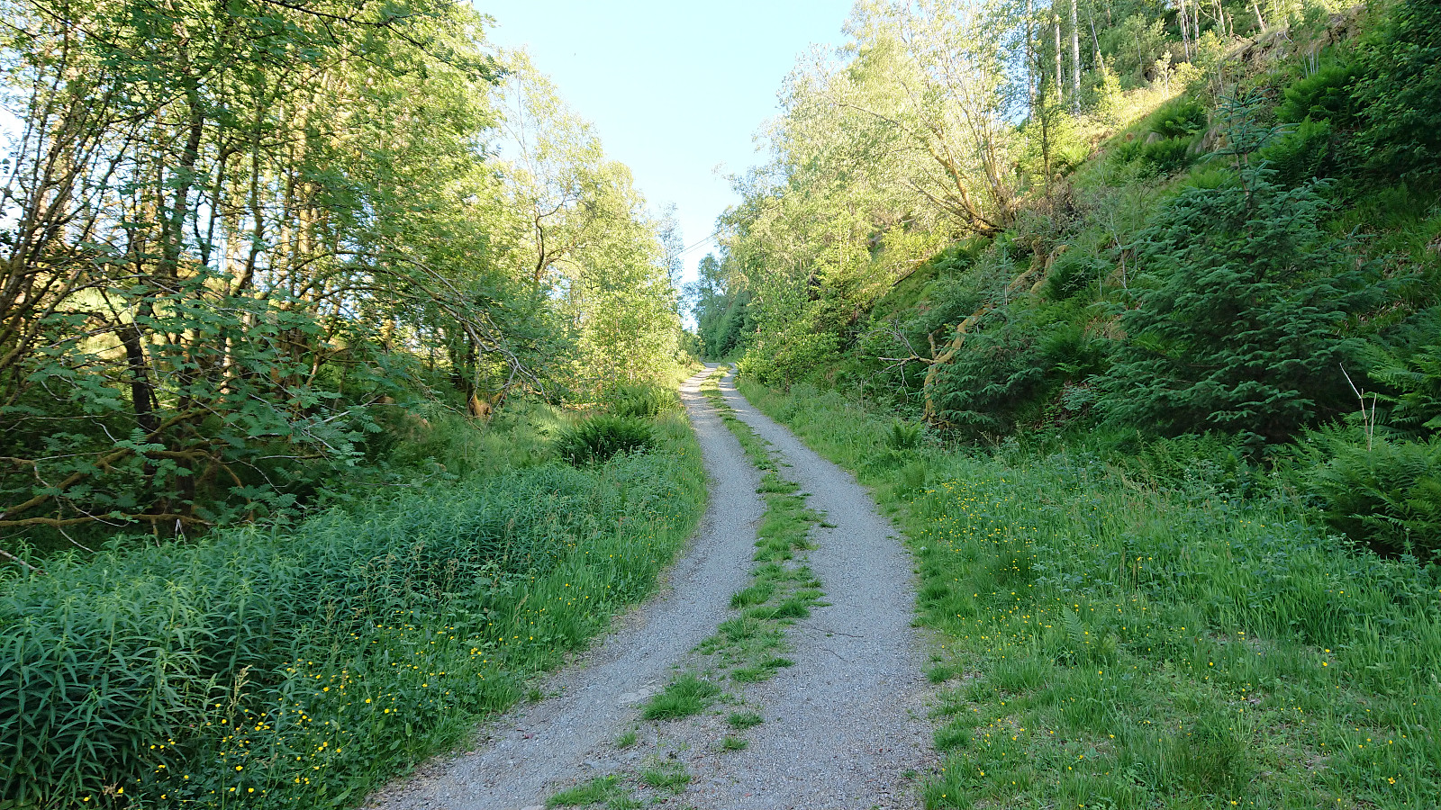
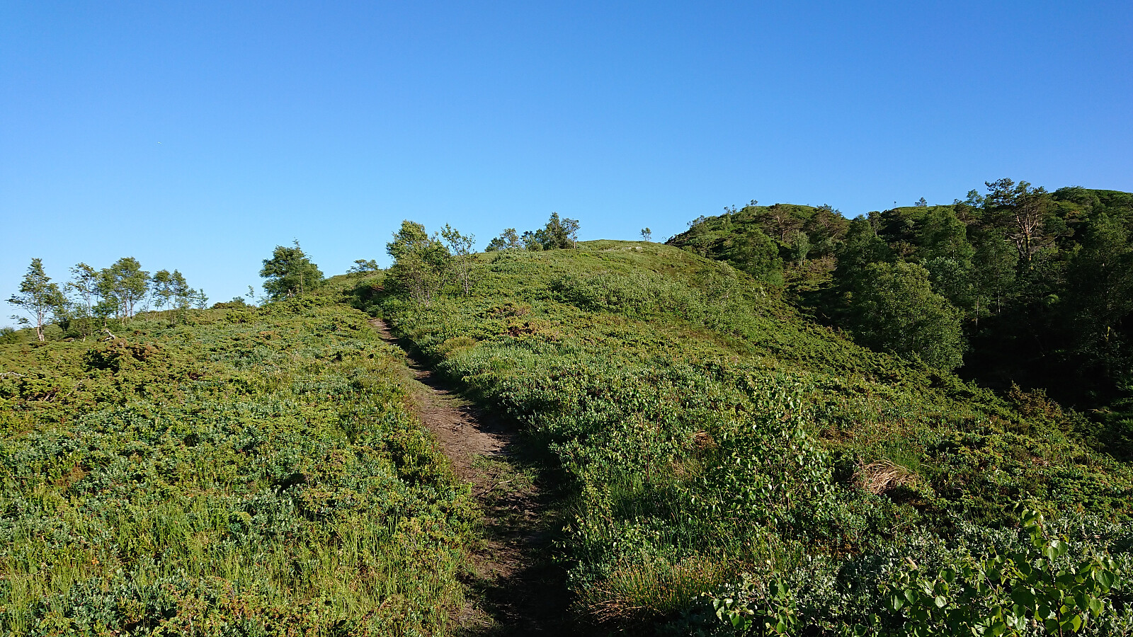
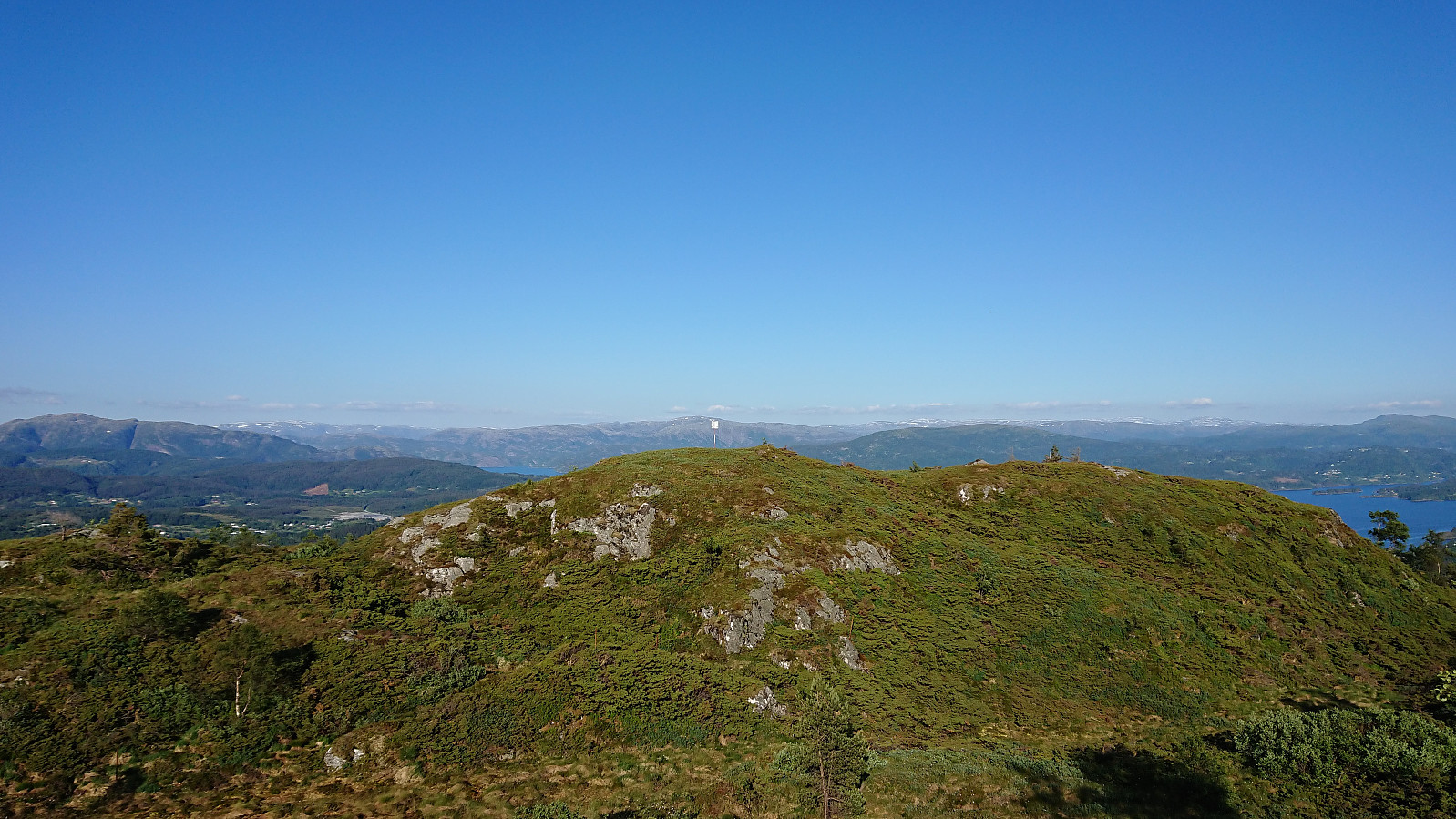
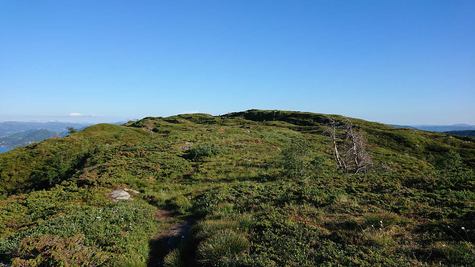
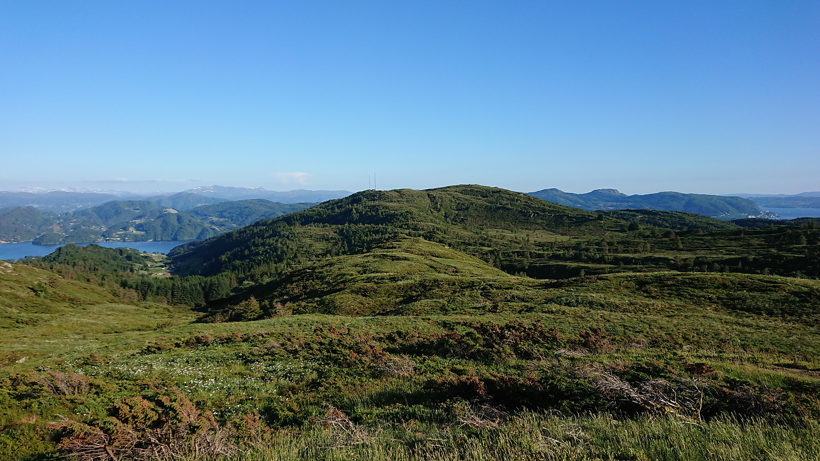
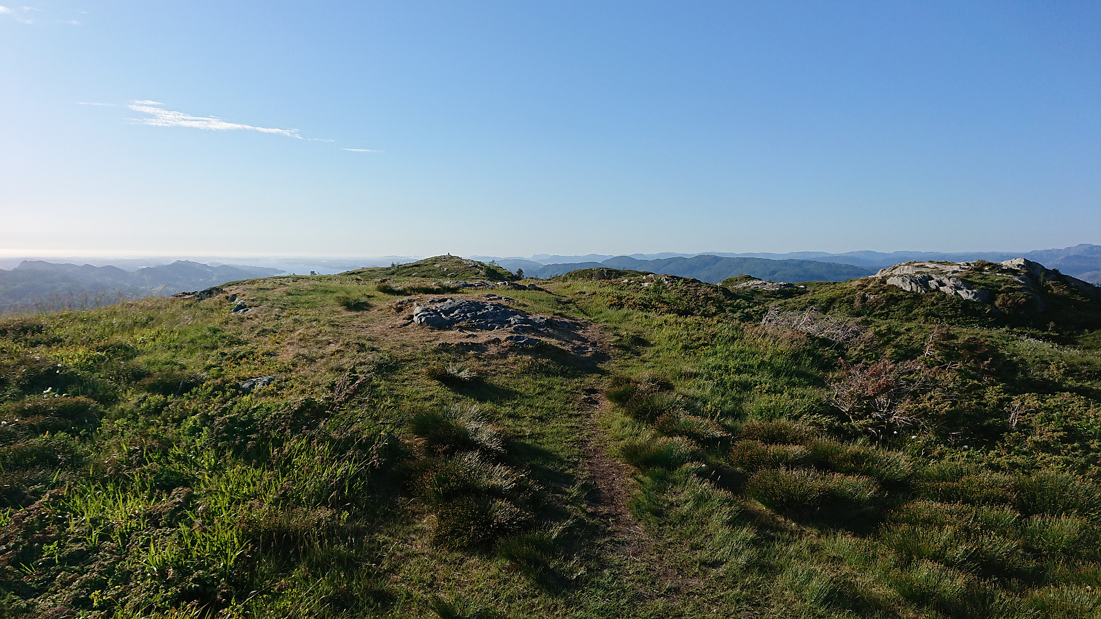
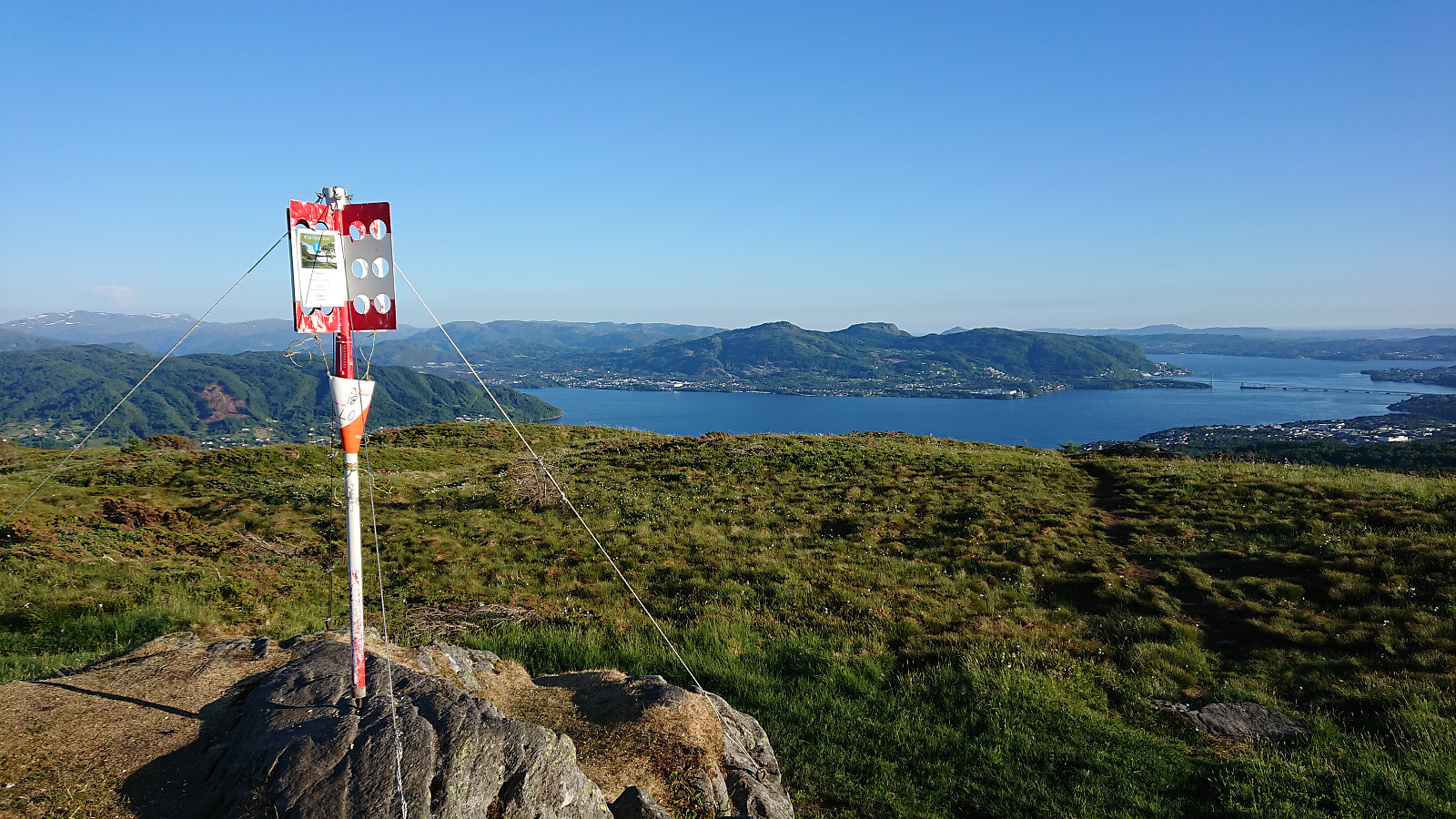
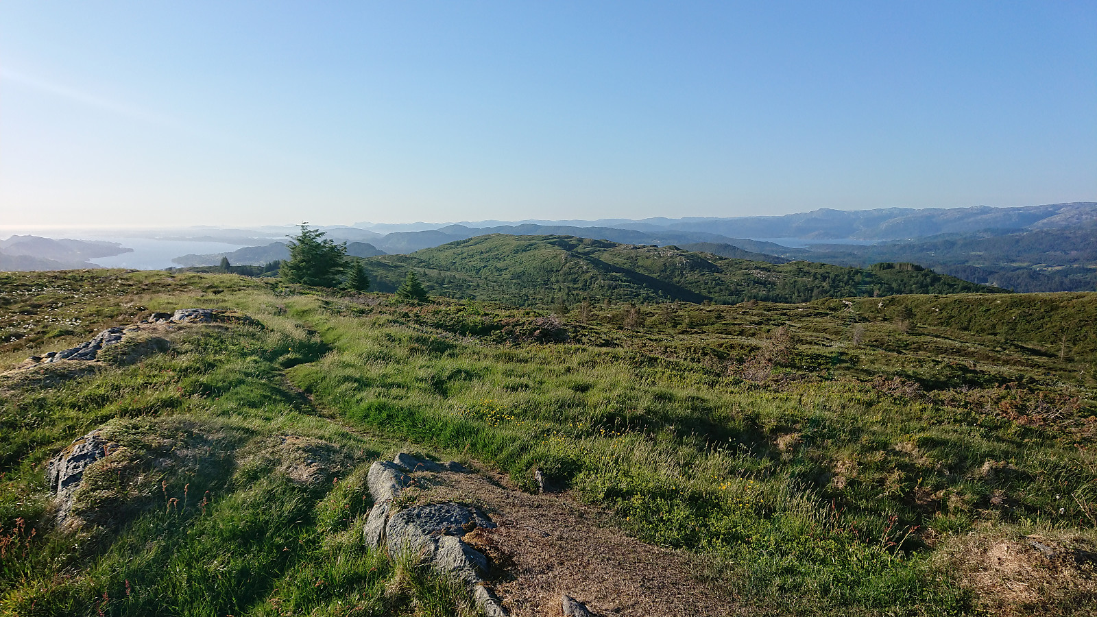
Next, I retraced my steps almost to the start of the hike, but instead of returning to the bus stop I followed a gravel road south in the direction of Krossane and Gladihaug, a hike I had been wanting to do ever since my initial visit to Gladihaug. The gravel road soon turned into a tractor road, and then a very nice trail, that could be followed all the way to Krossane and onwards to Gladihaug. As the trail followed the ridge, and one quickly gets above the tree line, the views were spectacular all around!
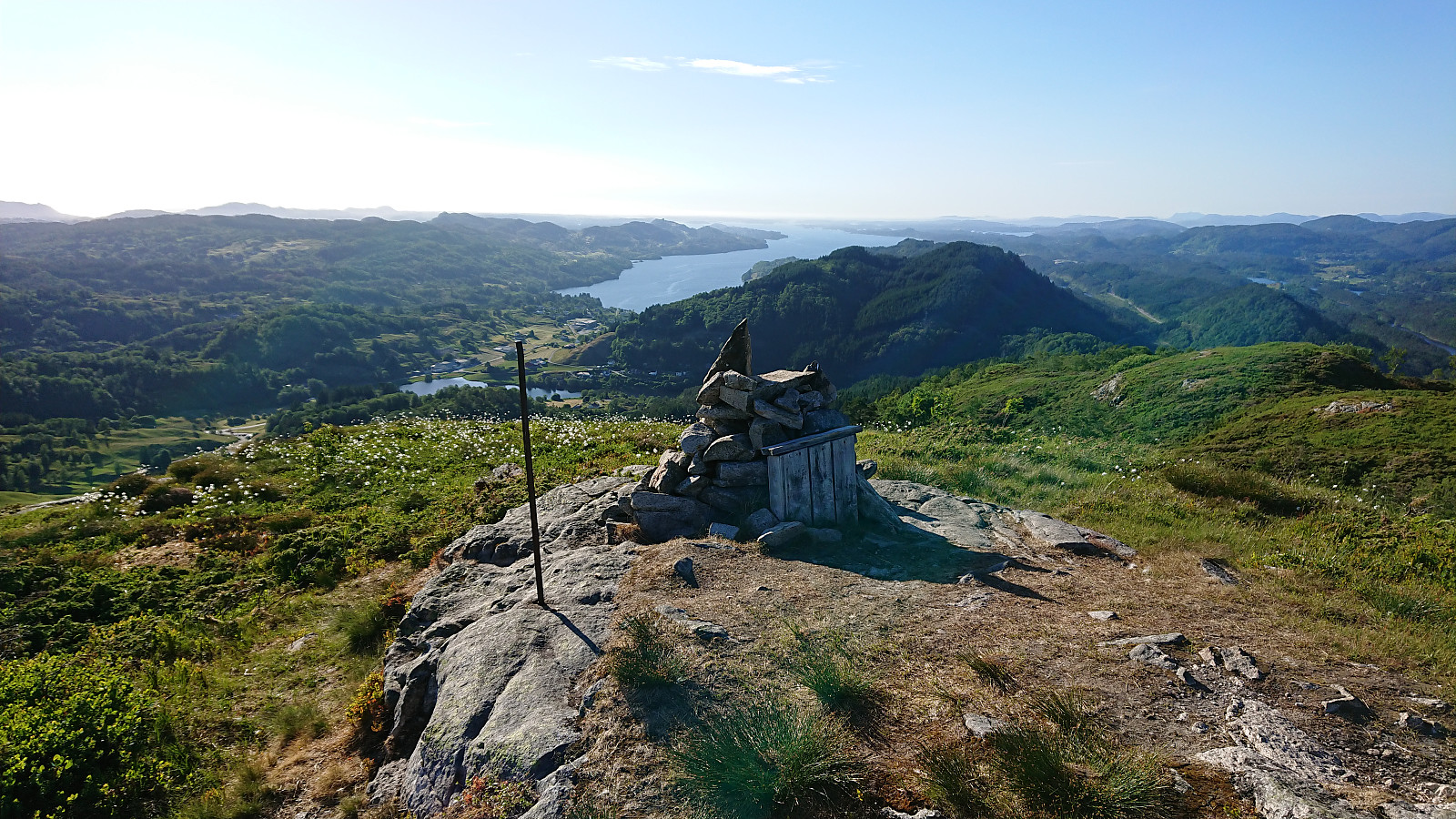
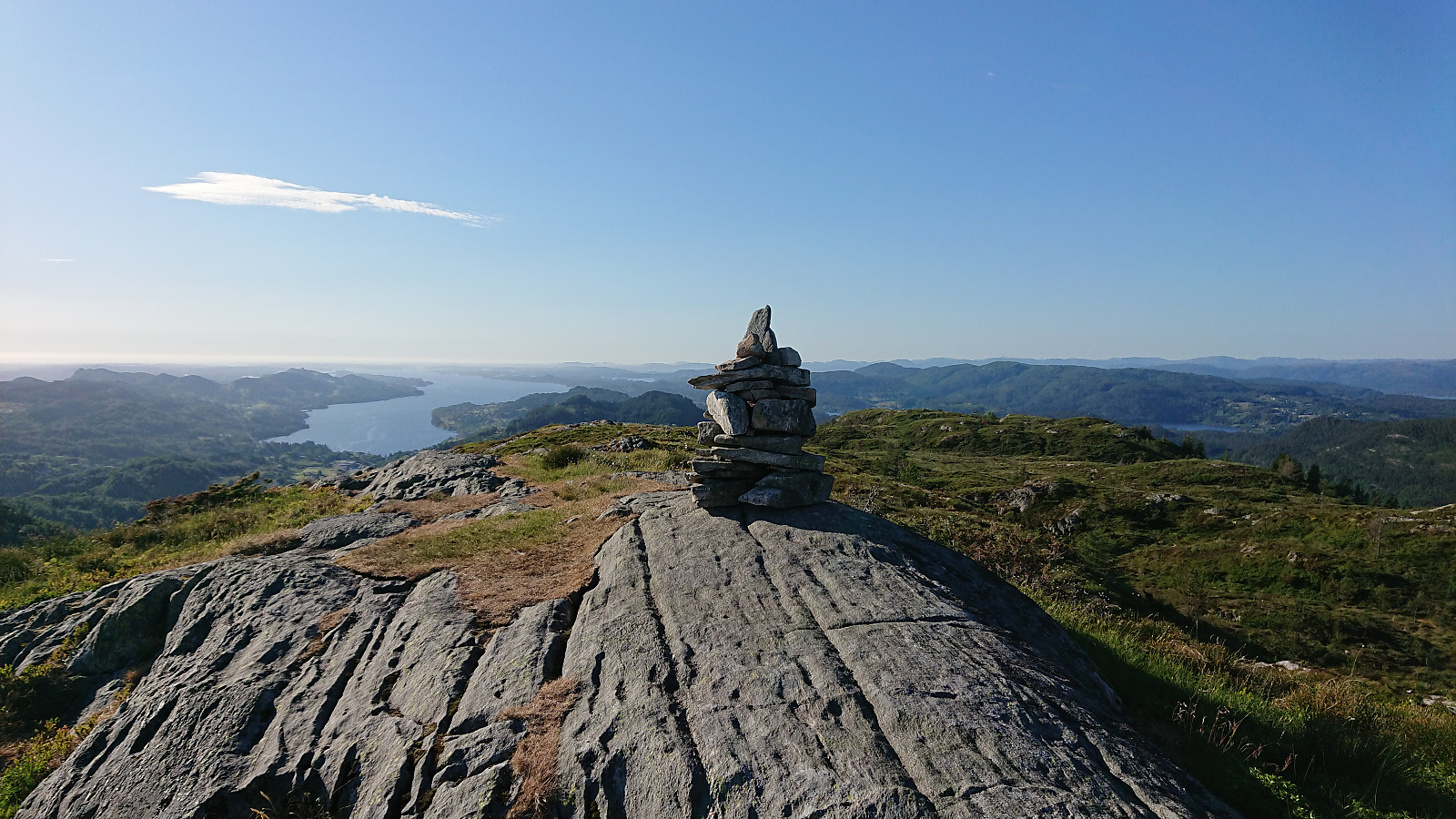
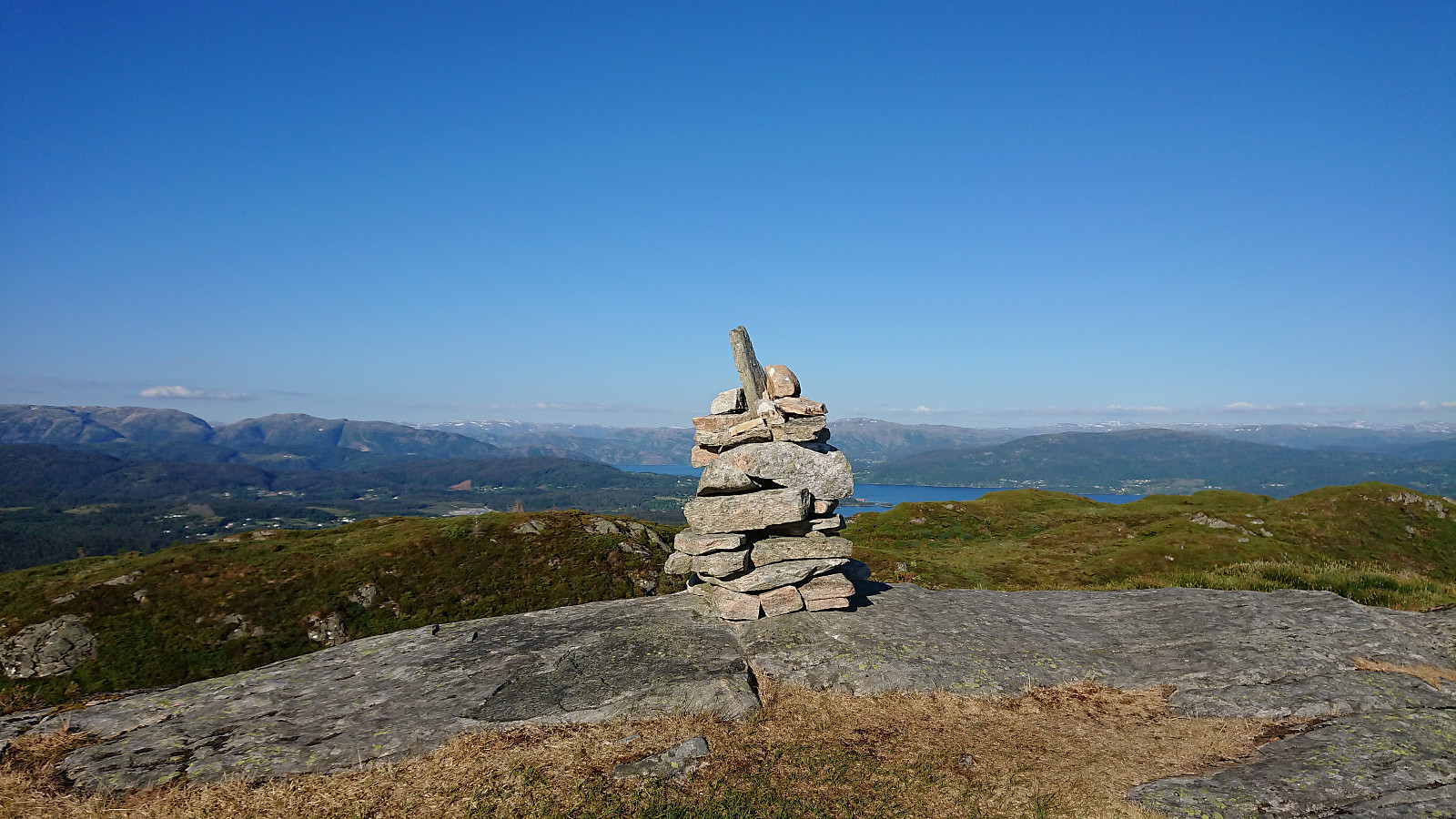
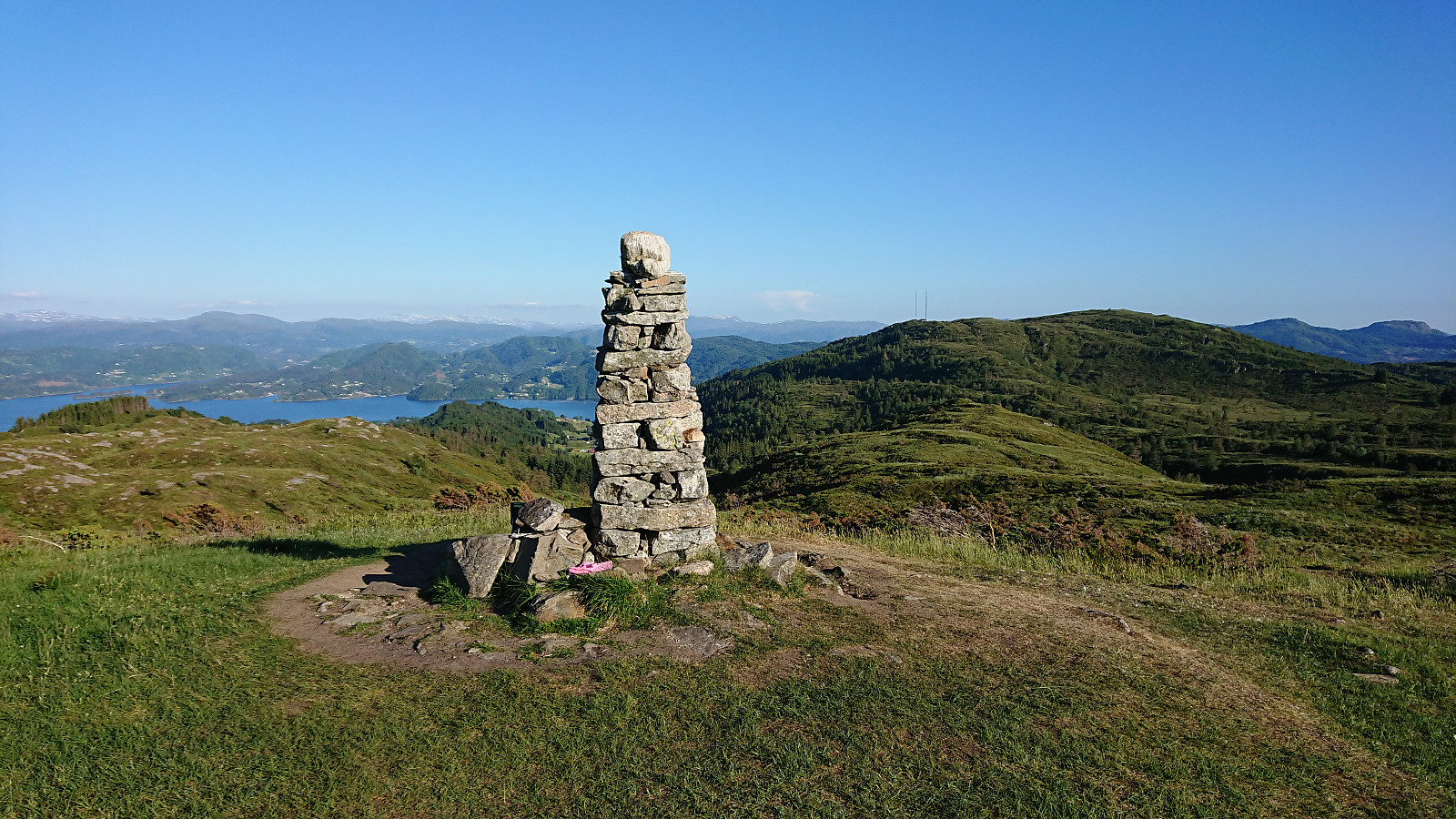
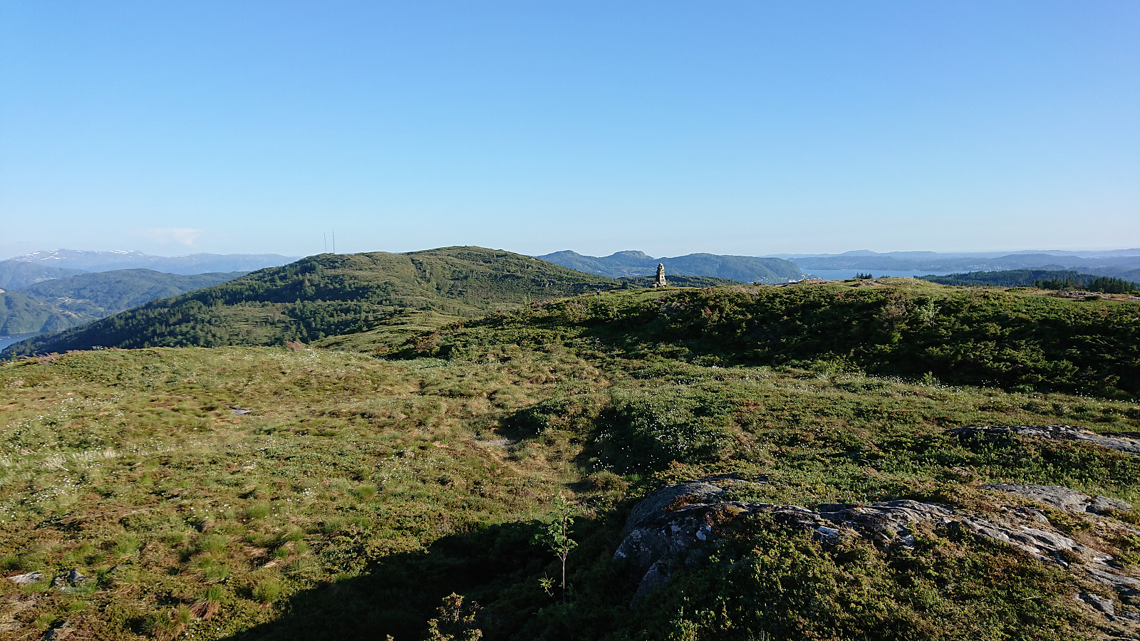
There were several cairns on the path to Krossane, all worth a visit and all providing excellent views. Note that the large cairn at Krossane is not at the highest point, which seemed to be a small hill about 60 meters to the north of the cairn, where one could potentially consider moving the peak marker? The cairn at Krossane also included a visitor register.
From Krossane I continued south to Gladihaug. Still along nice trails, but here there would have been several wet areas if it had not been for the recent extended period without any rain. Gladihaug provided excellent views as always, but by now I was rather spoiled by the great views along the ridge, especially when compared to the non-existent views at Svekanen. I therefore did not stay too long, before following the trail south to the main road.
All that now remained was the rather boring walk back to Knarvik terminal and the bus back to Bergen, which was slightly extended as I had 15-20 minutes to spare when reaching the terminal. The hike was therefore concluded by walking across Hagelsundsbroen and instead taking the bus from the other side of the bridge.
Conclusion
This hike clearly consisted of two distinct parts. The visit to Svekanen, although slightly better than expected (with the exception of the struggle to reach the trig marker), is the kind of peak where one visit is most likely more than enough. The hike along the ridge to Krossane and Gladihaug was however a completely different experience. Excellent trails and spectacular views made for a hike that can be very highly recommended.


| Start date | 07.06.2018 17:18 (UTC+01:00 DST) |
| End date | 07.06.2018 21:58 (UTC+01:00 DST) |
| Total Time | 4h 40min |
| Moving Time | 4h 25min |
| Stopped Time | 0h 15min |
| Overall Average | 3.6km/h |
| Moving Average | 3.8km/h |
| Distance | 16.8km |
| Vertical meters | 931m |


User comments