
Nattlandsfjellet, Ramsdalsstrupen and Orrehaugane (28.01.2018)

Written by hbar (Harald Barsnes)

| Start point | Kolstibotn (120m) |
|---|---|
| Endpoint | Landåslien (82m) |
| Characteristic | Hillwalk |
| Duration | 2h 15min |
| Distance | 8.0km |
| Vertical meters | 446m |
| GPS |
|
| Ascents | Nattlandsfjellet (252m) | 28.01.2018 |
|---|---|---|
| Orrehaugane (415m) | 28.01.2018 | |
| Ramsdalsstrupen (263m) | 28.01.2018 | |
| Visits of other PBEs | Nattlandsfjellet trig.punkt (246m) | 28.01.2018 |
| Nordre Nattlandsfjellet p-plass (230m) | 28.01.2018 |
Nattlandsfjellet, Ramsdalsstrupen and Orrehaugane
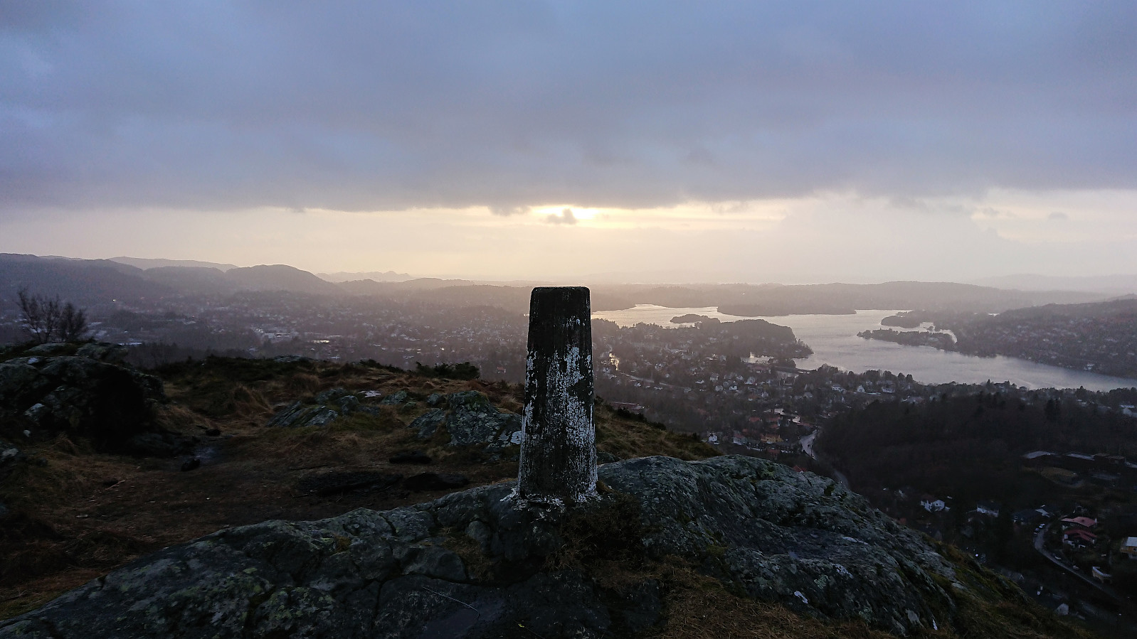
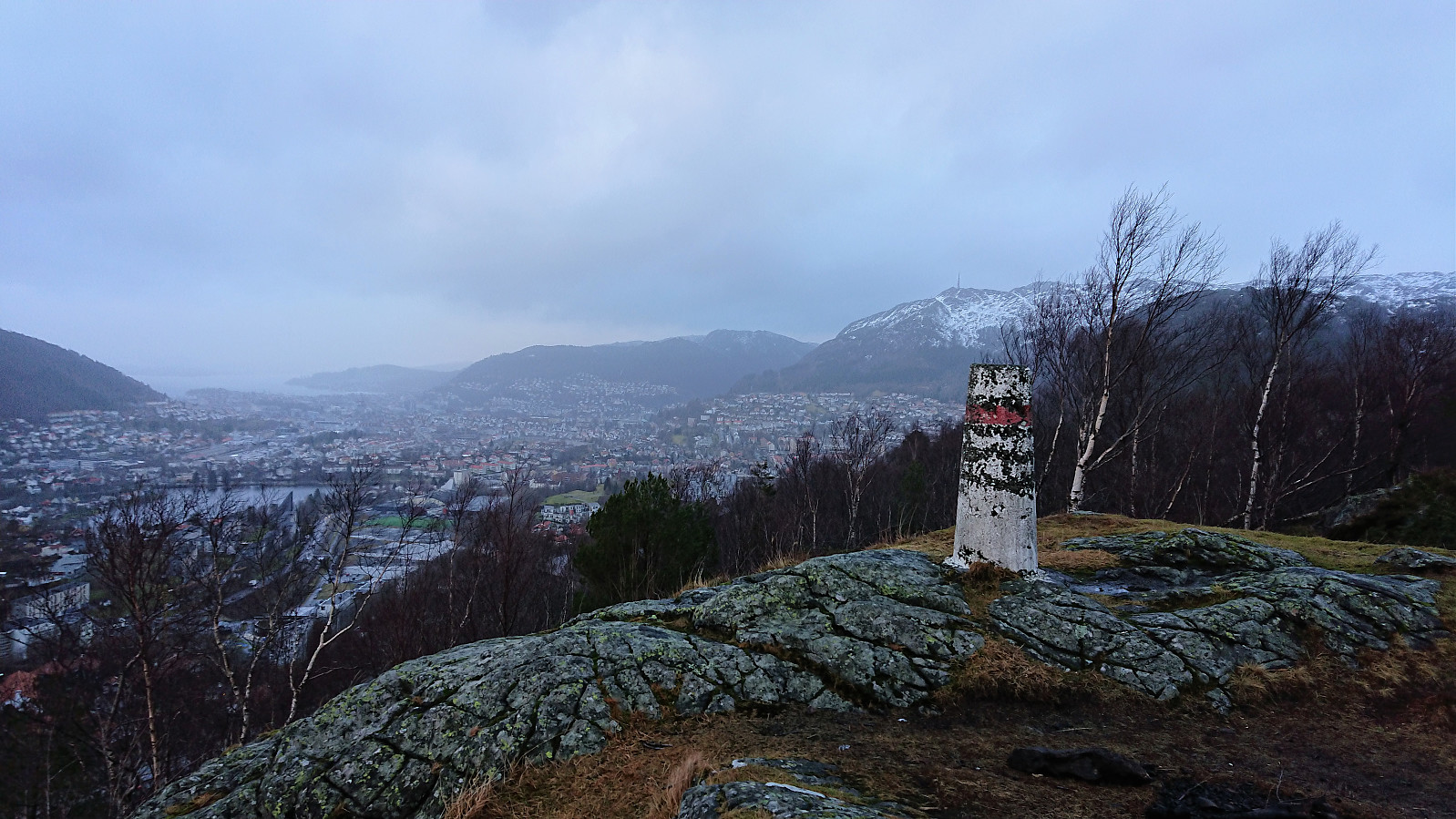
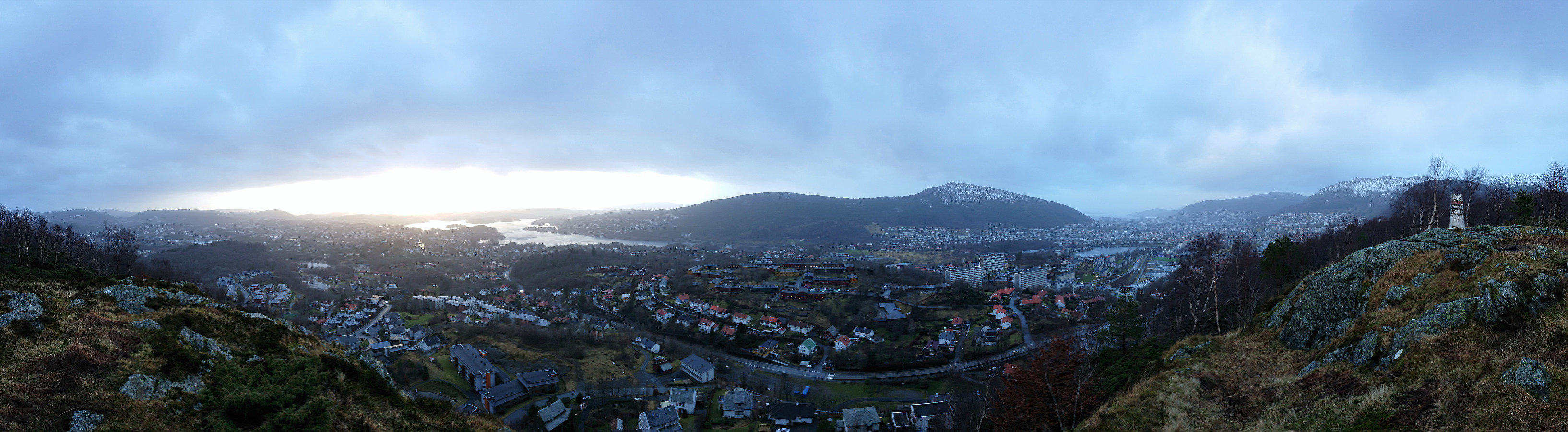
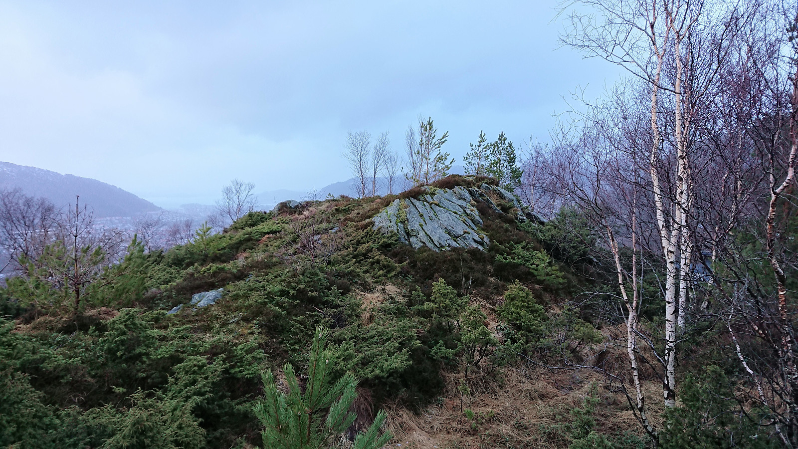
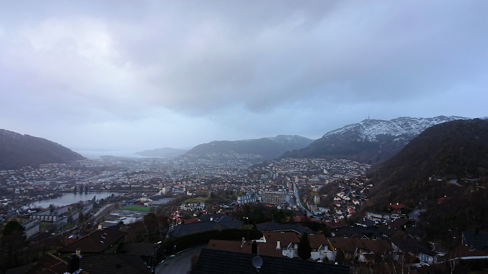
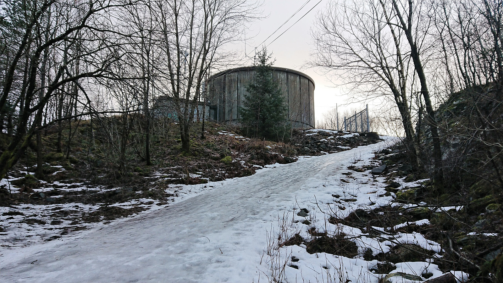
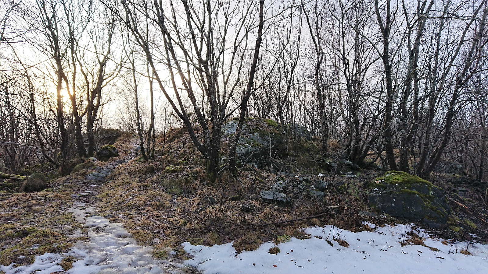
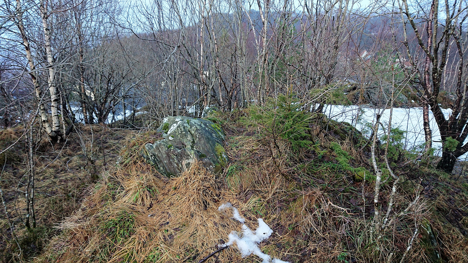
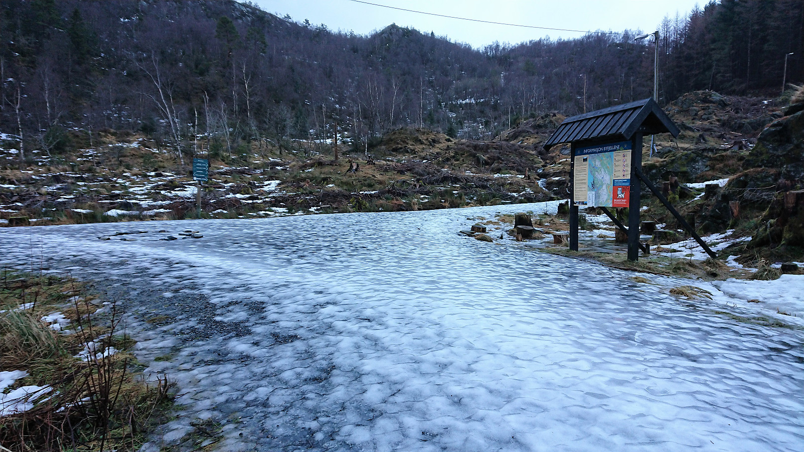
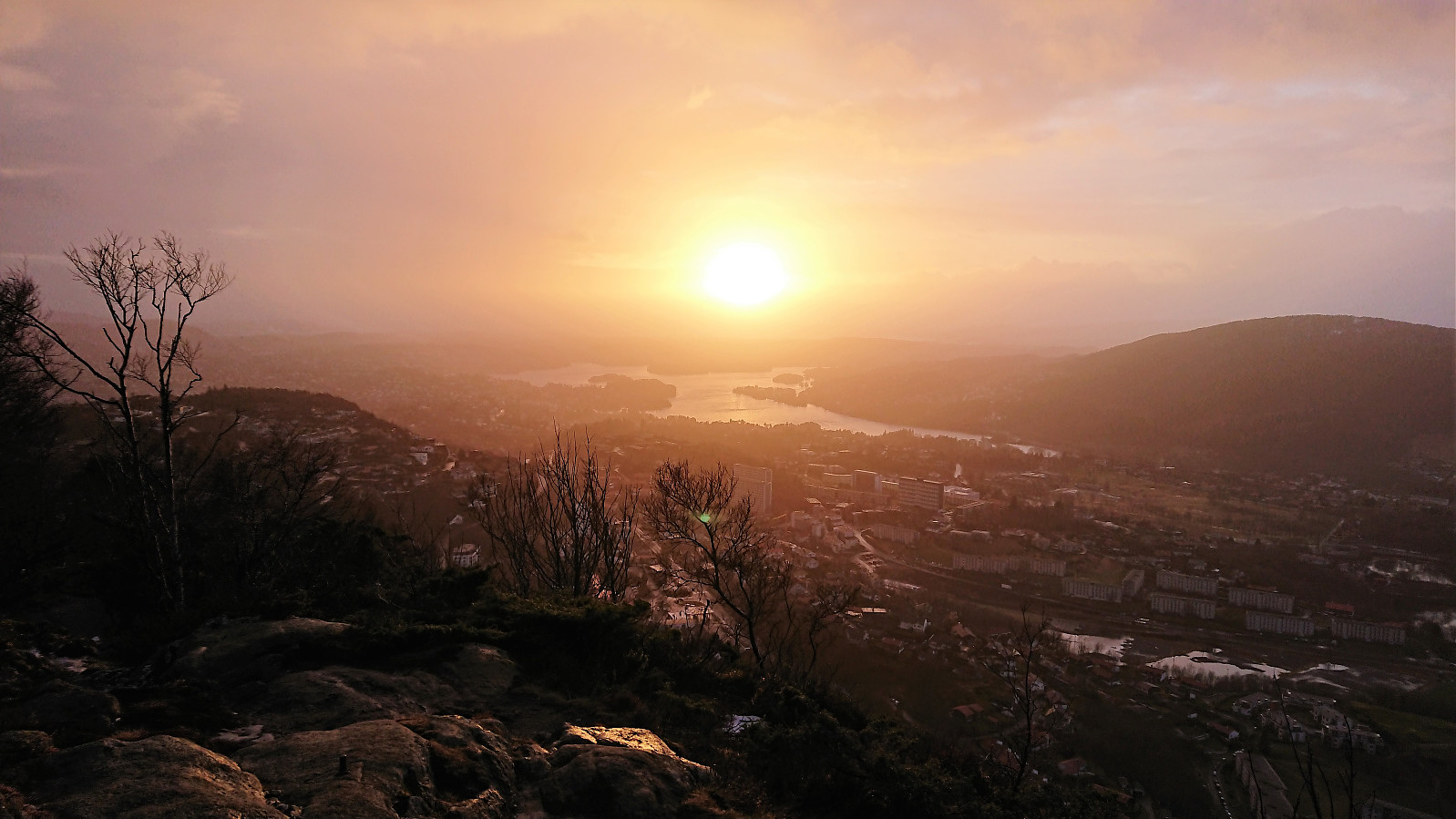
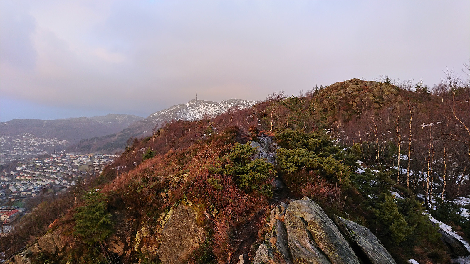
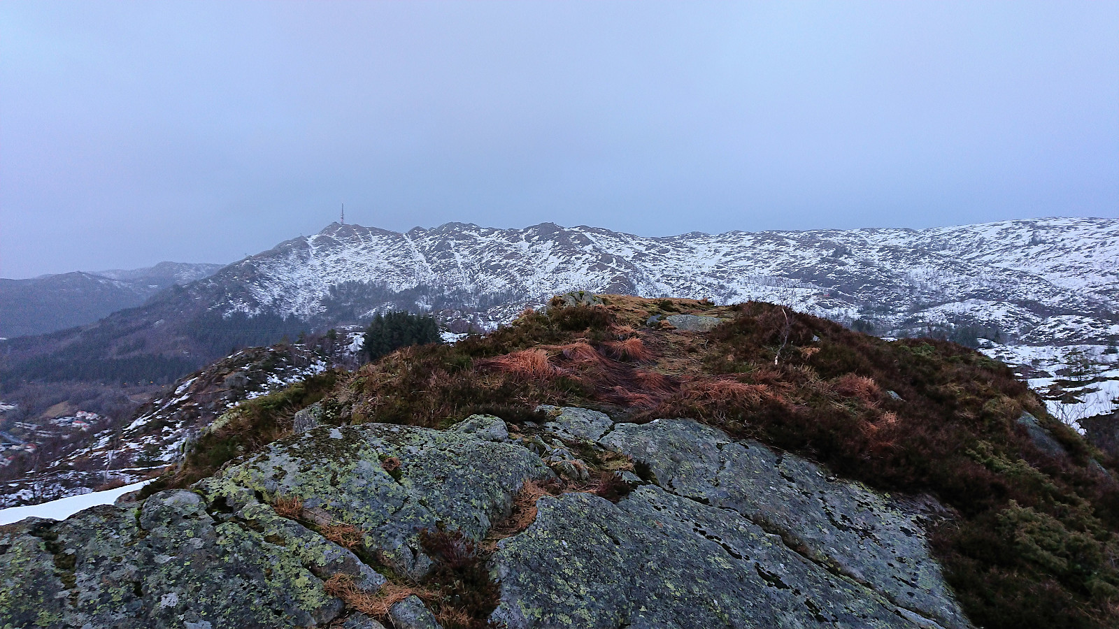
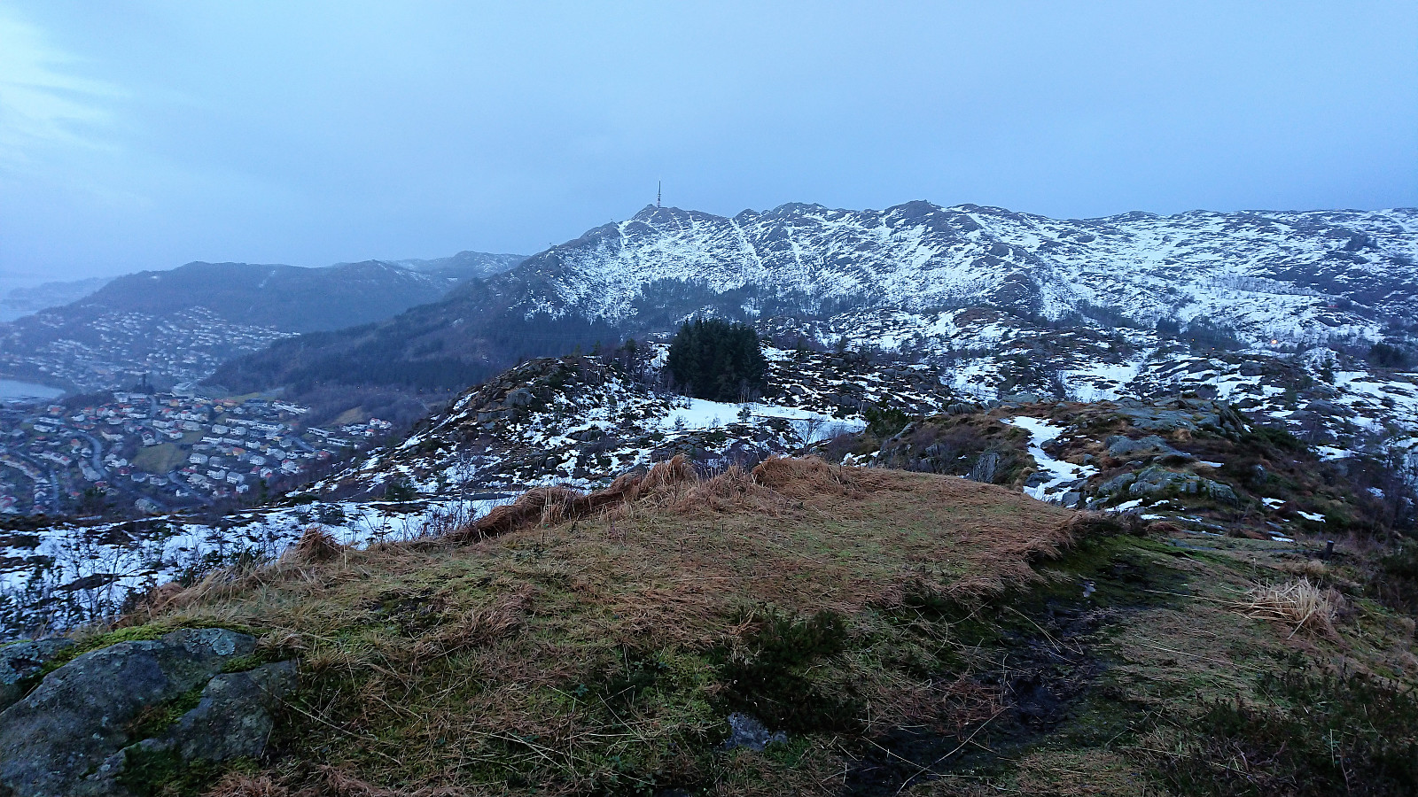
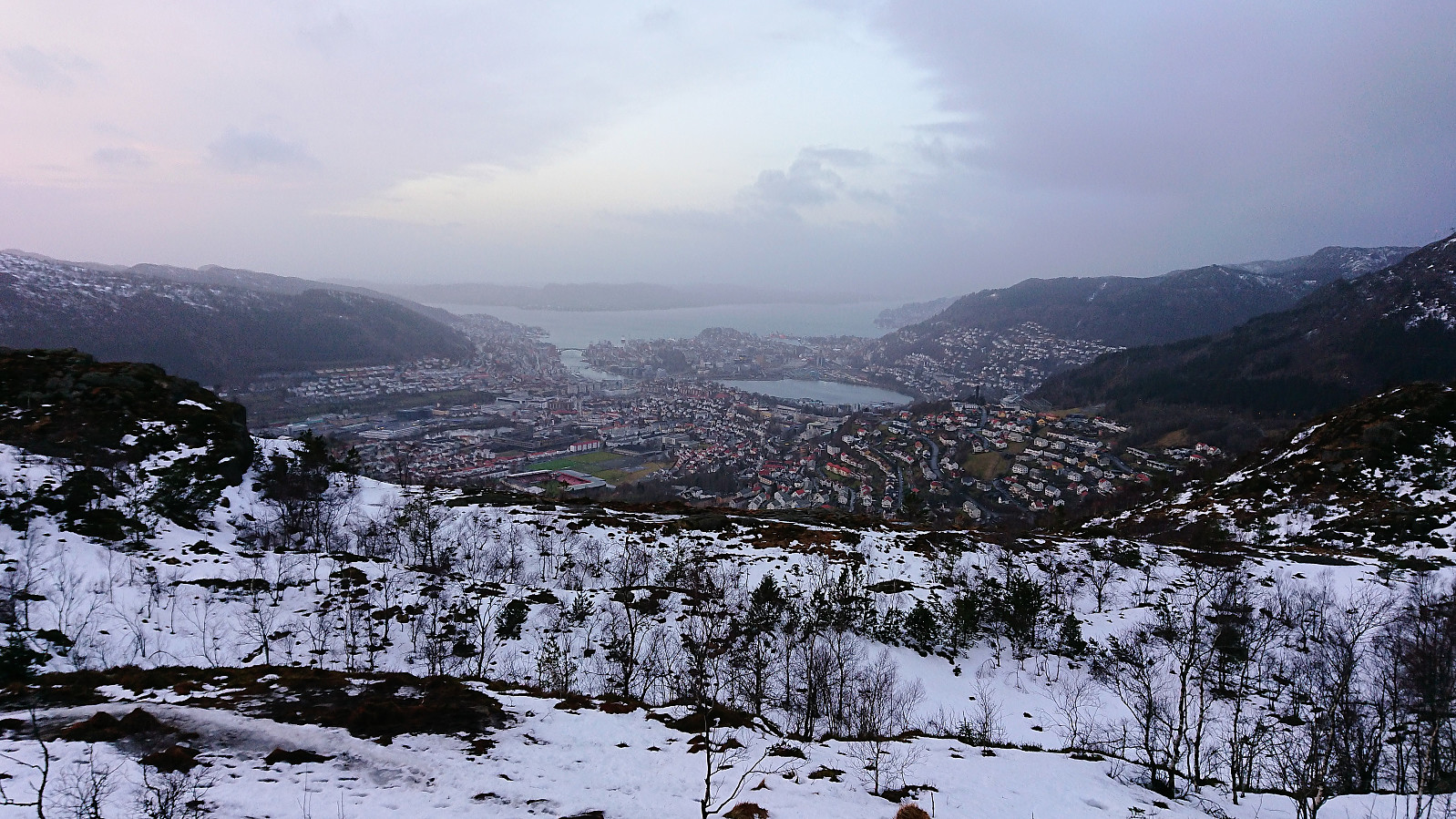
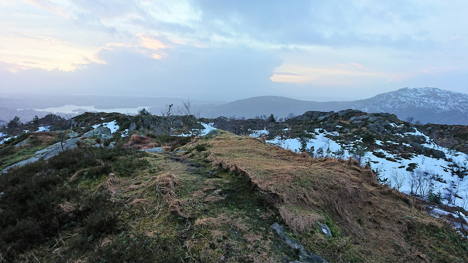
Lots of rain and wind for the first part of the day, so I ended up with a short hike in the afternoon to cover a small recently added summit at Nattlandsfjellet called Ramsdalsstrupen. The plan was to continue up the gravel road and ascend Orrehaugane from the east, but this was abandoned as the road was packed with ice, and the trail up Sveane was used instead. The shortcut down to Landåslien ended up being more challenging than usual as the steep decline was today a mix of snow, ice and running water...
| Start date | 28.01.2018 15:02 (UTC+01:00) |
| End date | 28.01.2018 17:17 (UTC+01:00) |
| Total Time | 2h 15min |
| Moving Time | 2h 13min |
| Stopped Time | 0h 1min |
| Overall Average | 3.6km/h |
| Moving Average | 3.6km/h |
| Distance | 8.0km |
| Vertical meters | 446m |


User comments