
Skogafjellet and Galtåsen (21.10.2017)

Geschrieben von hbar (Harald Barsnes)

| Startpunkt | Ulvenskiftet (43m) |
|---|---|
| Endpunkt | Søfteland (54m) |
| Tourcharakter | Bergtour |
| Tourlänge | 2h 49min |
| Entfernung | 8,3km |
| Höhenmeter | 446m |
| GPS |
|
| Besteigungen | Galtåsen (118m) | 21.10.2017 |
|---|---|---|
| Skogafjellet (289m) | 21.10.2017 | |
| Besuche anderer PBE | Gamle Torve bro (39m) | 21.10.2017 |
Skogafjellet and Galtåsen
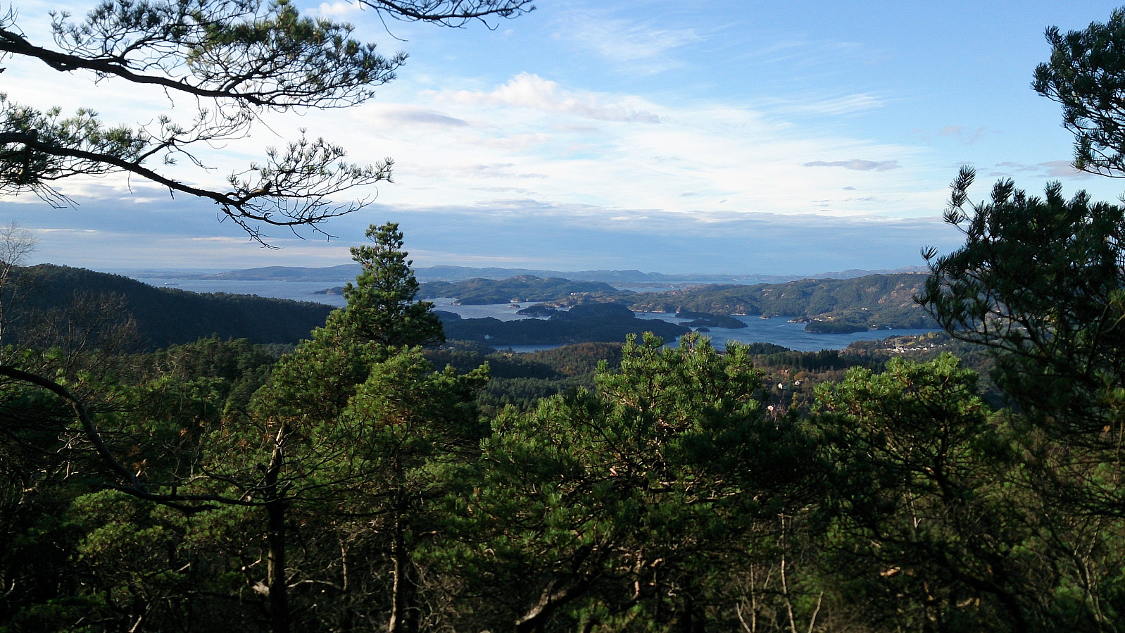
Skogafjellet
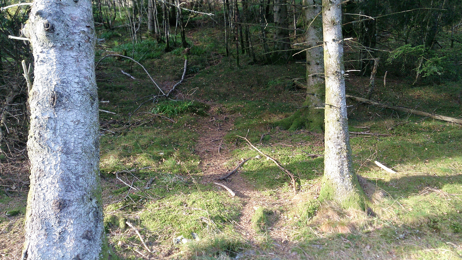
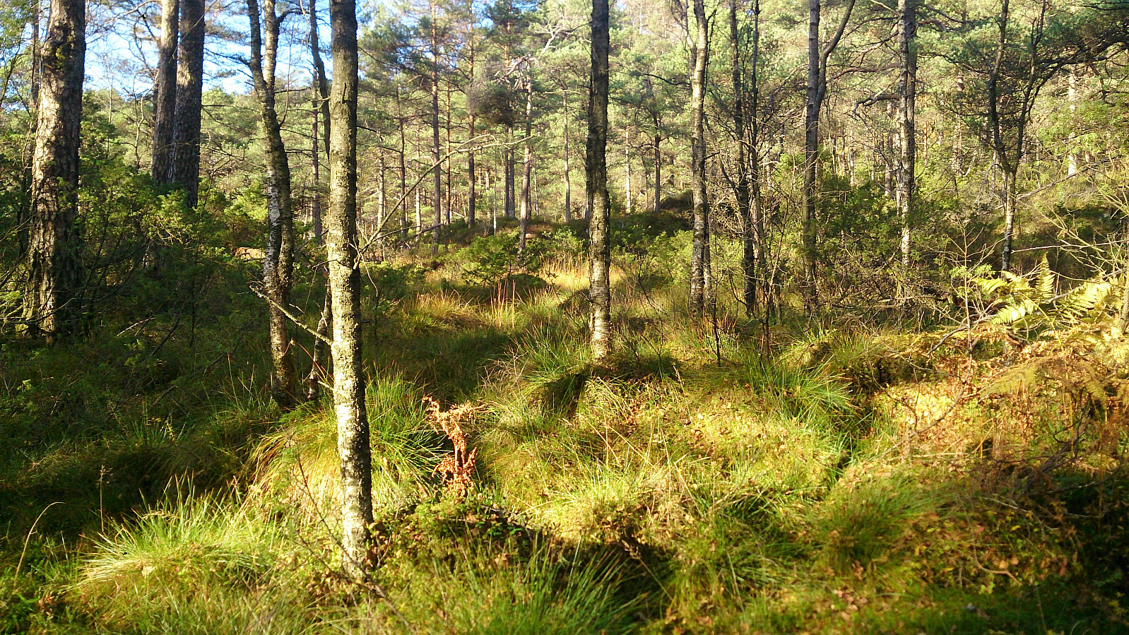
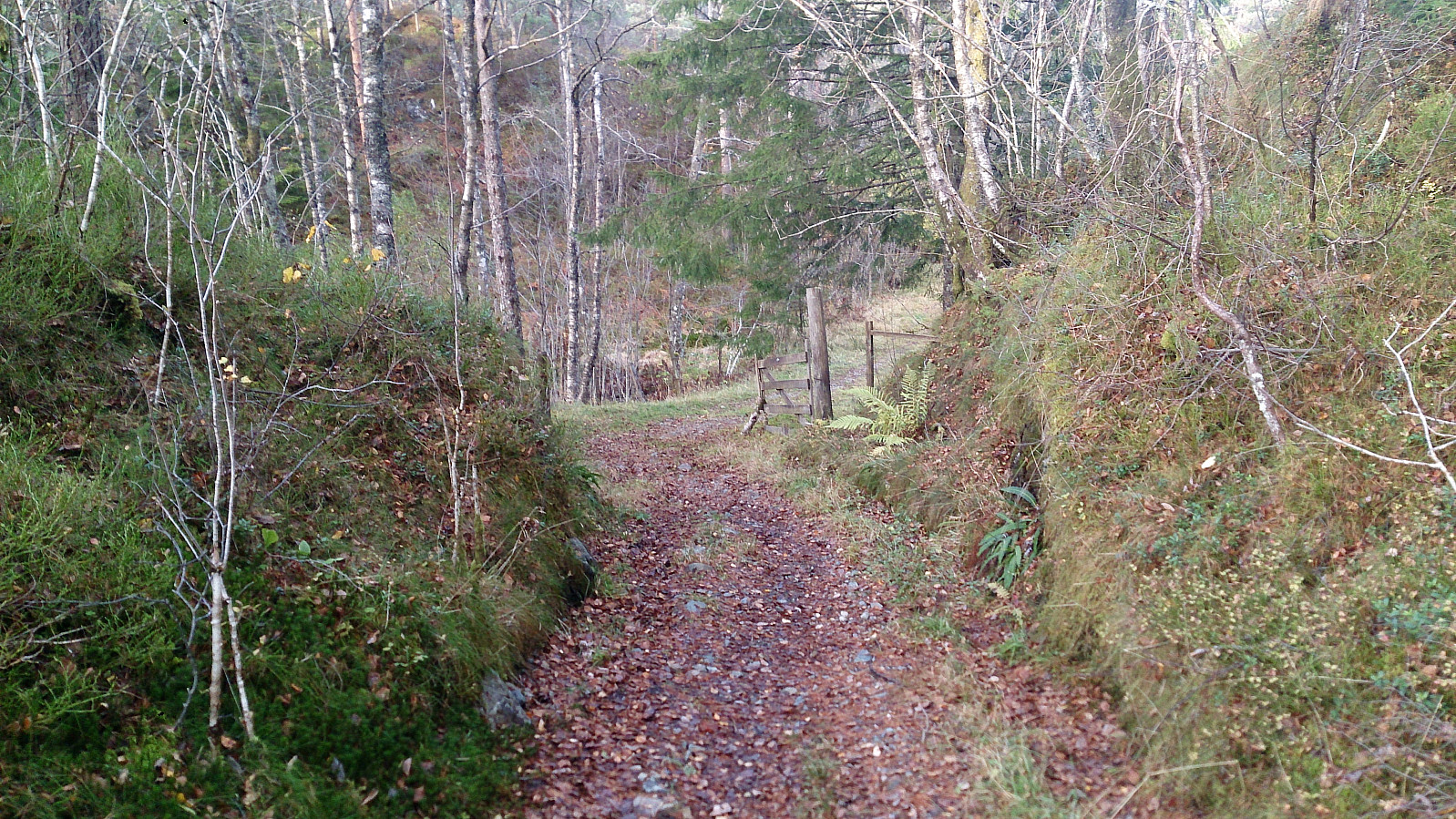
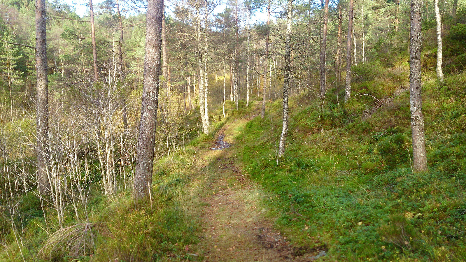
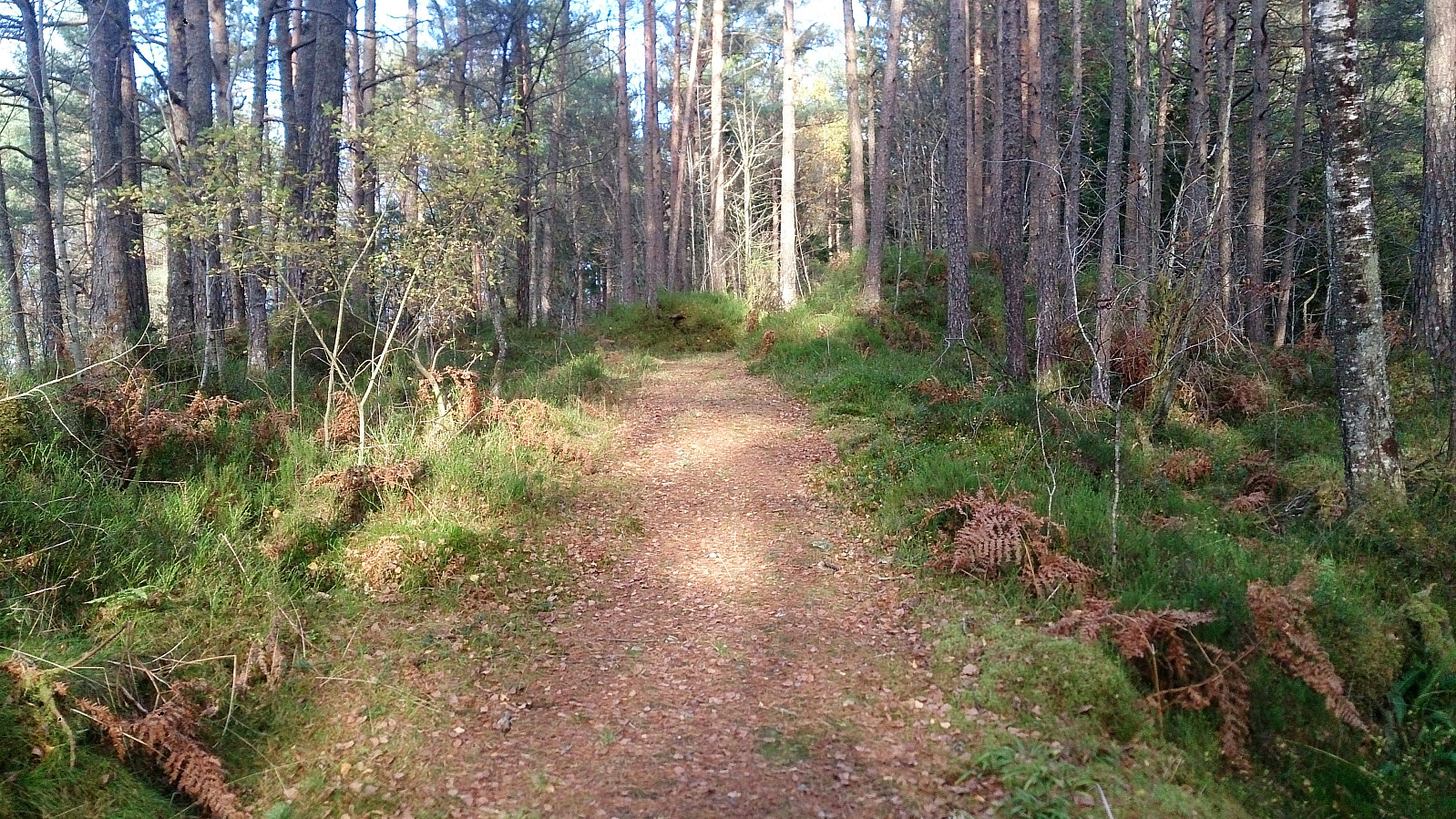
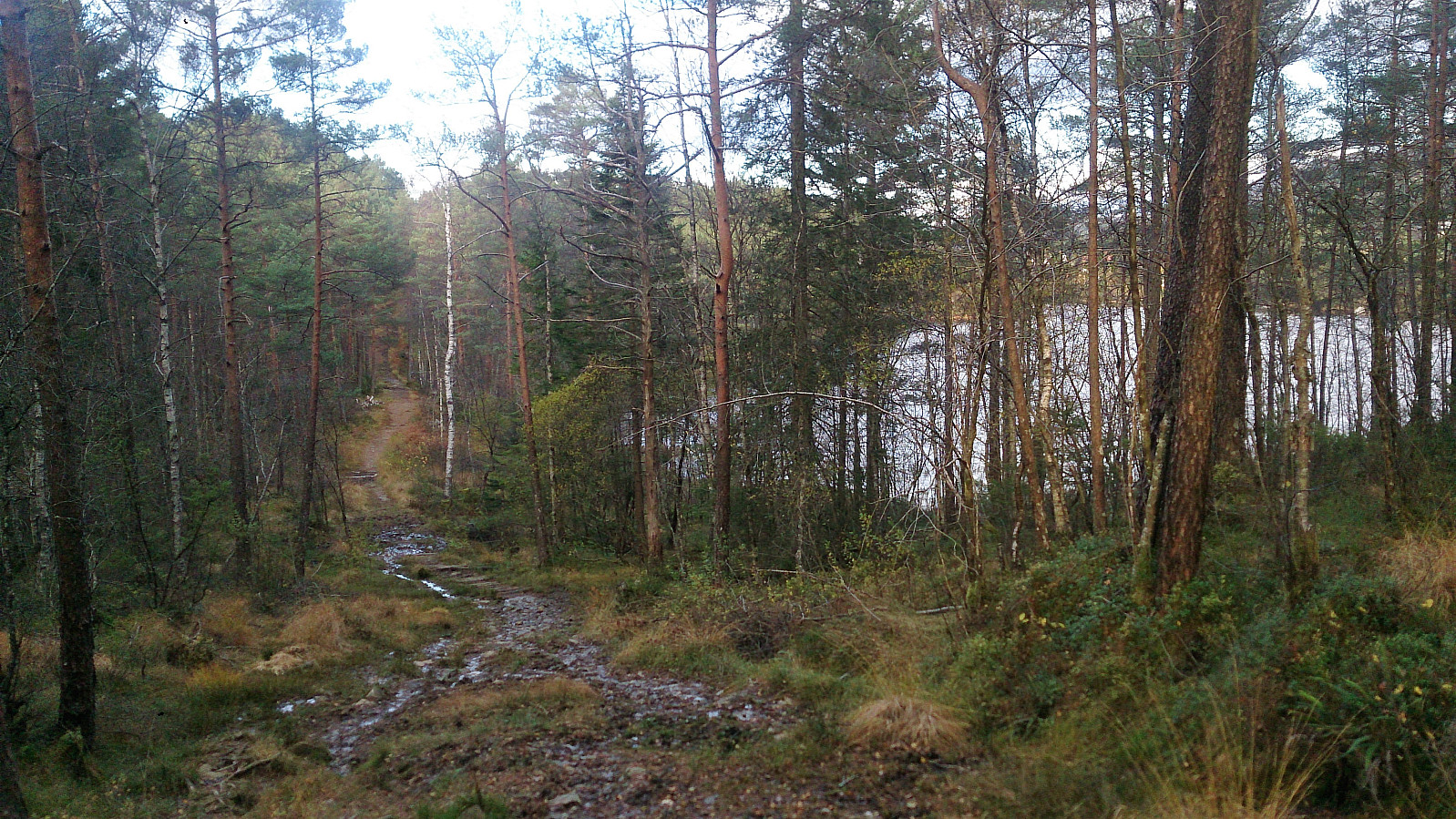
Started by taking the bus to Ulvenskiftet and walking up Ulvenvegen and Svegane to arrive at the trailhead. The trailhead was unmarked, but fairly easy to locate if one knows approximately where to look. The trail started out much better than expected and could be followed without any difficulty up to Hesthaugen.
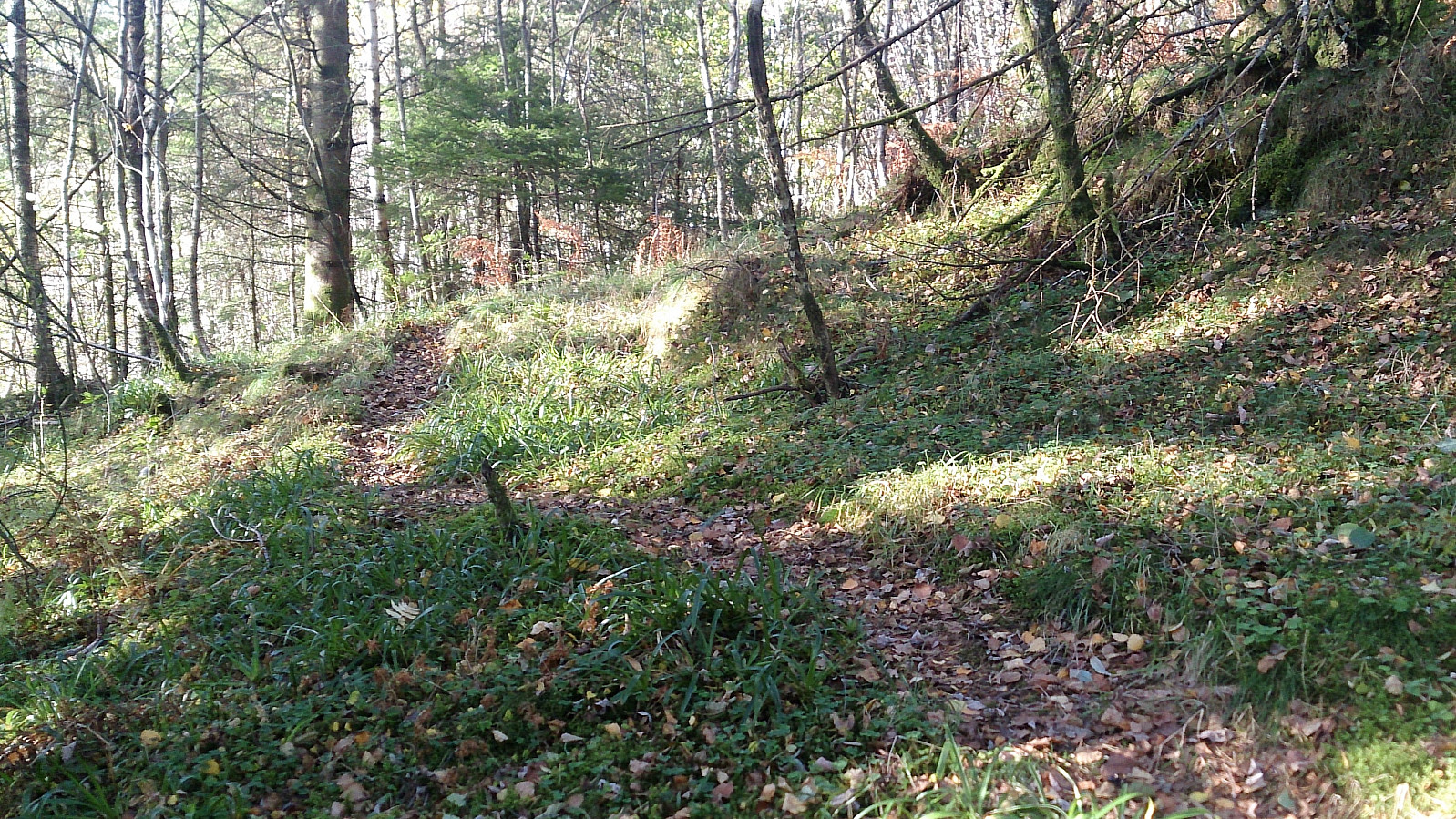
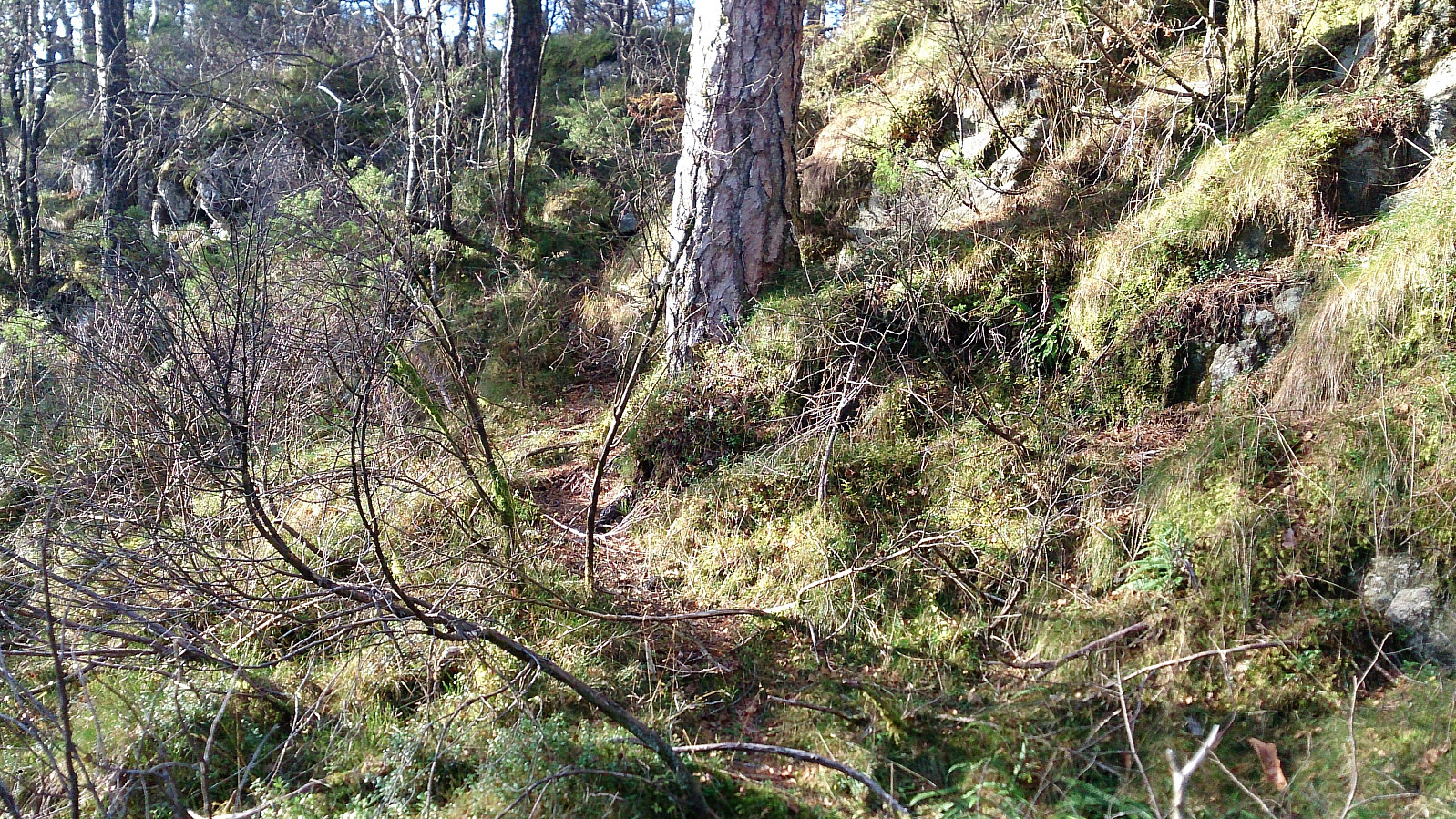
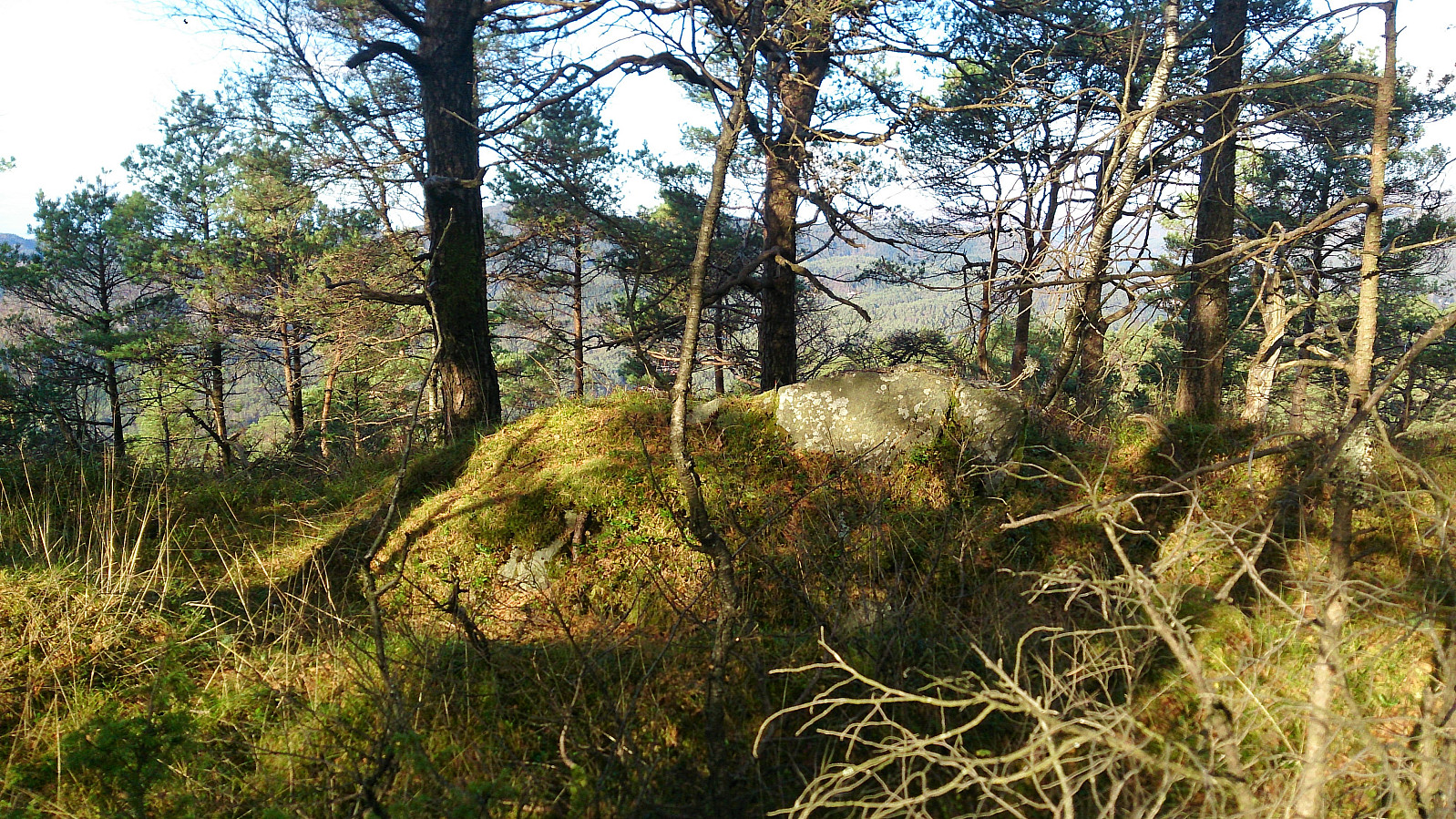
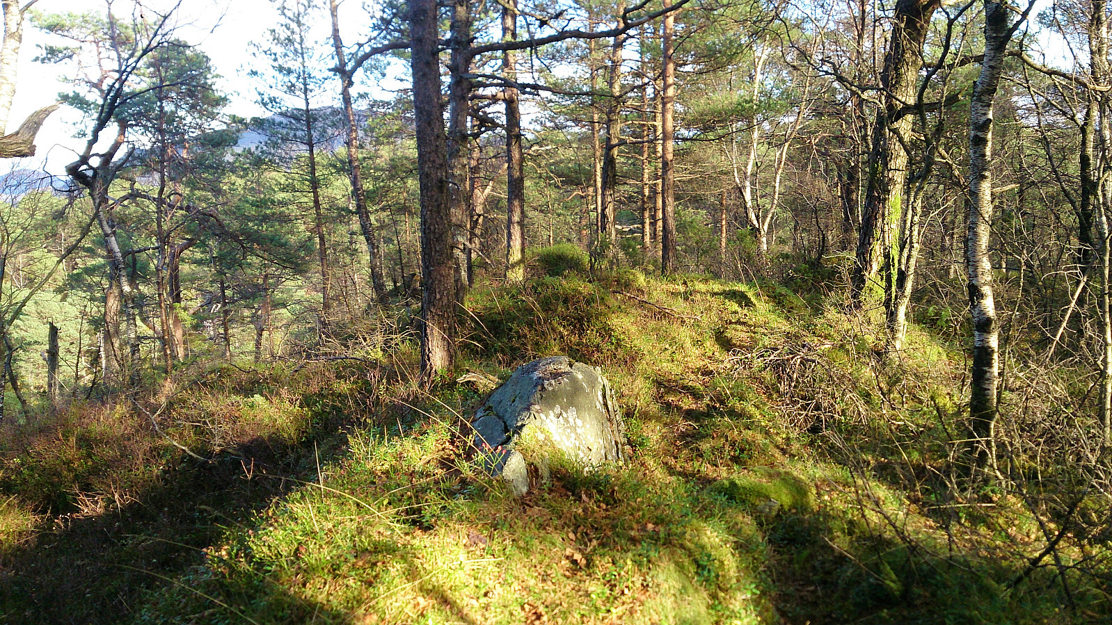
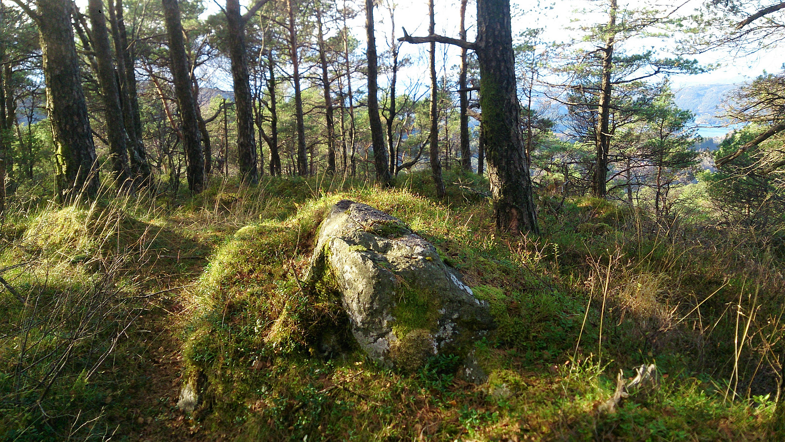
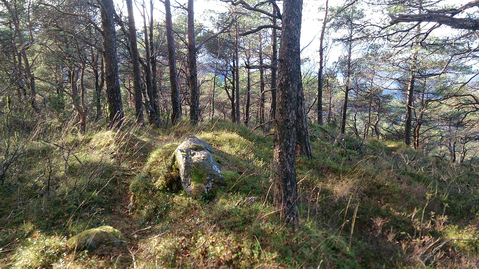
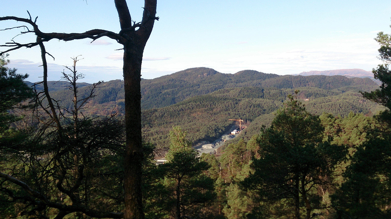
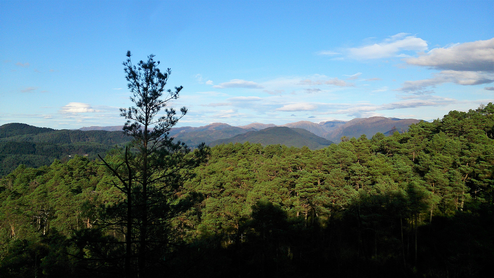
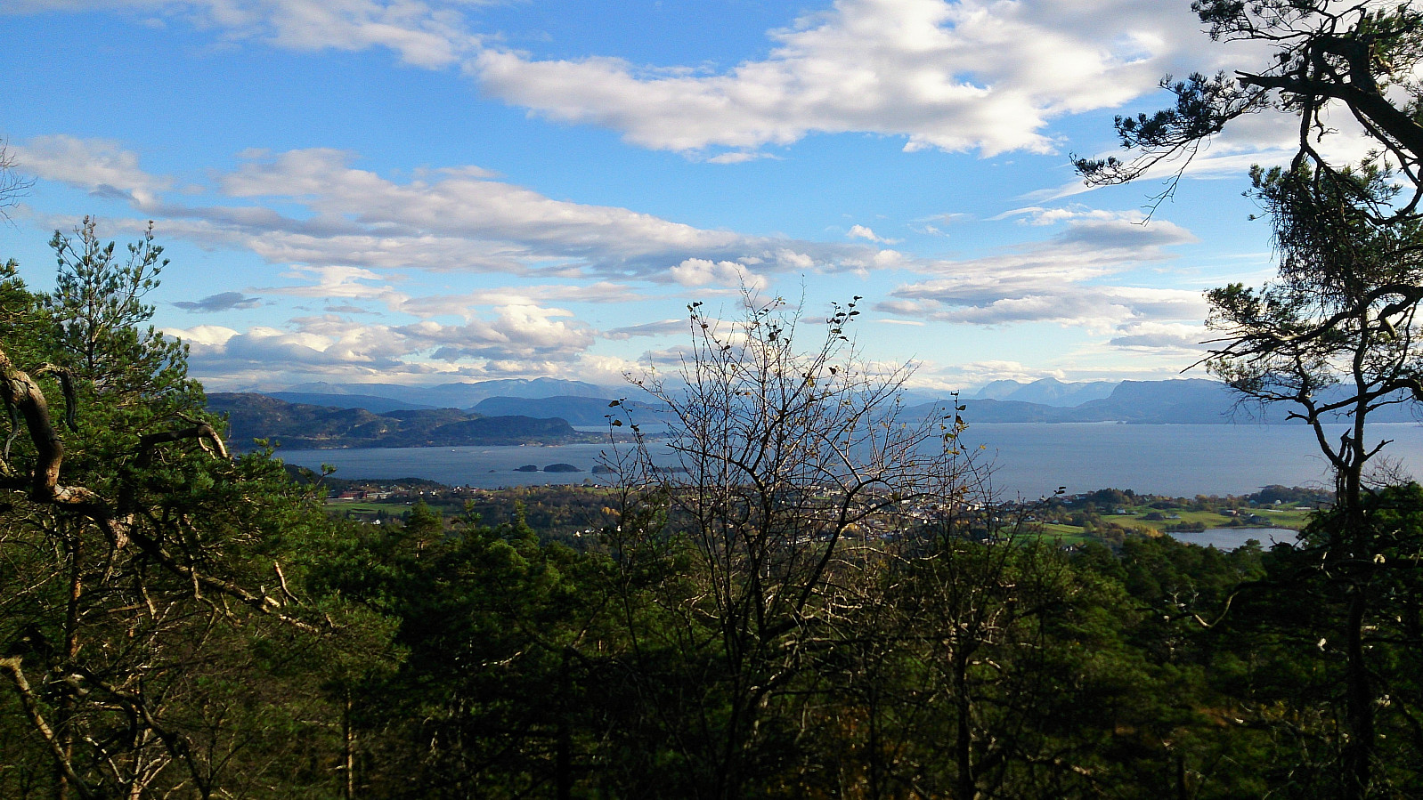
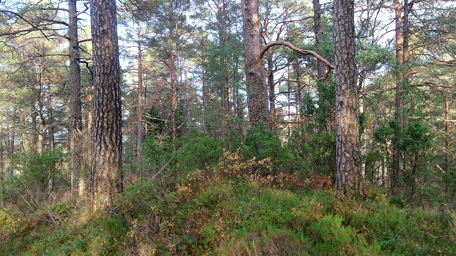
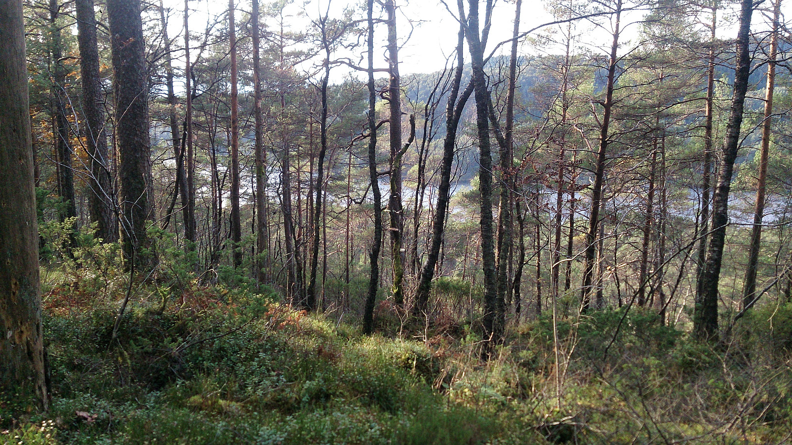
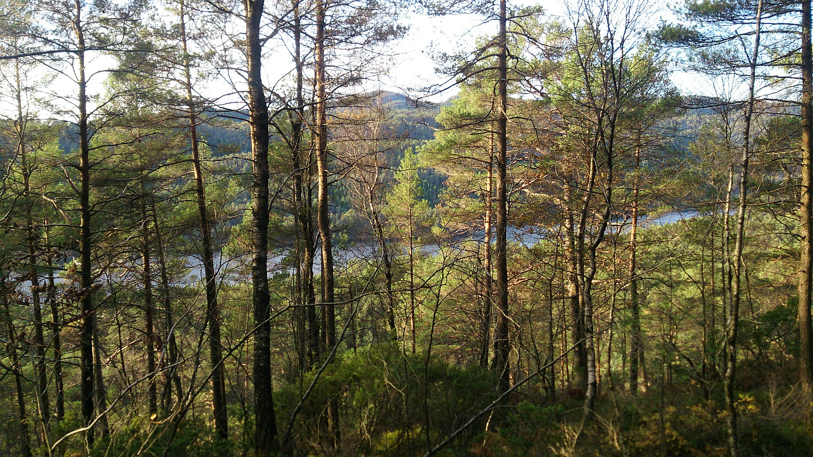
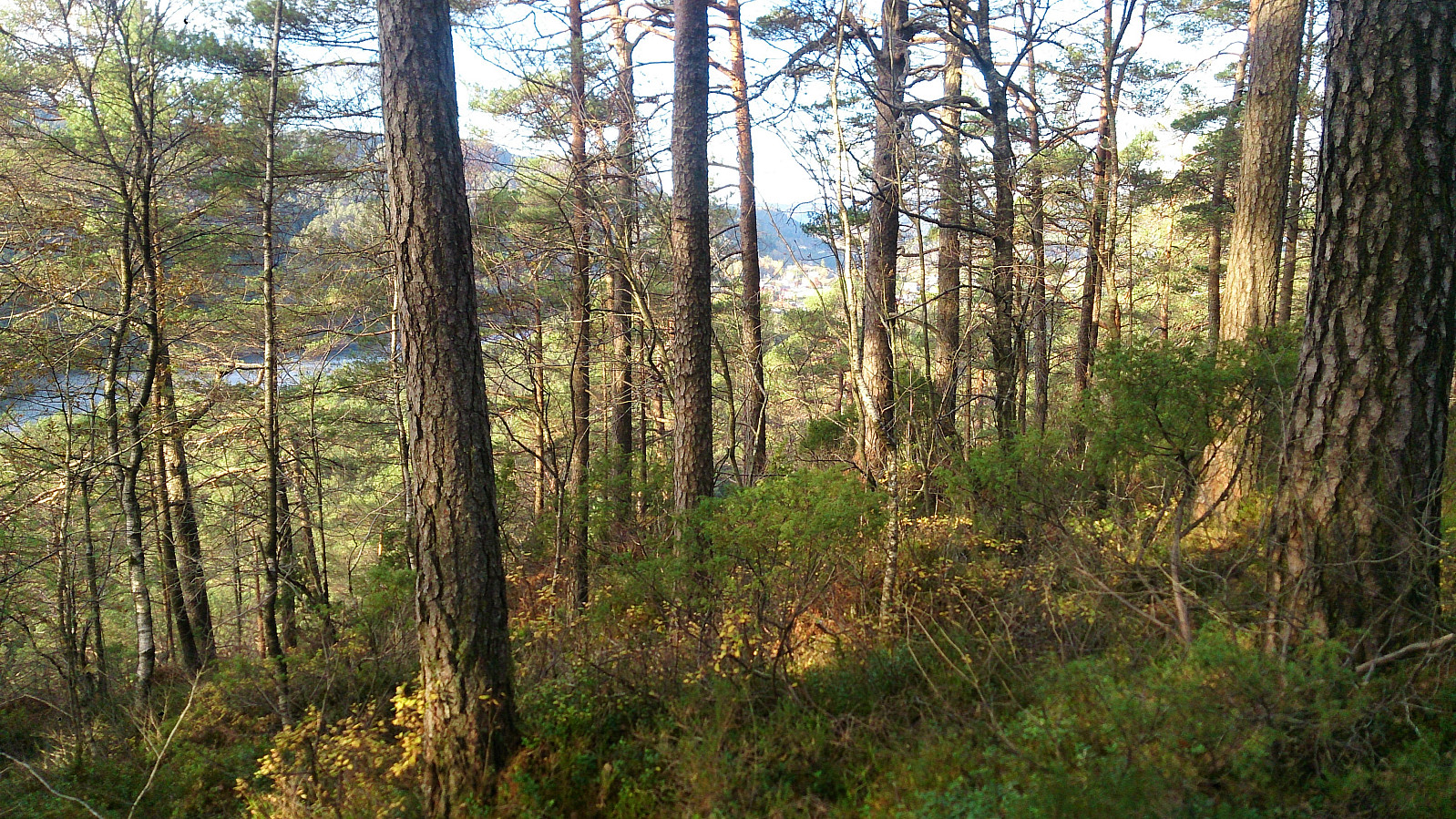
Here the trail disappeared, but was quickly substituted by lots of deer tracks, which I partially followed when making my own way towards the summit of Skogafjellet. The terrain did not provide any real challenges, and I shortly arrived at the summit. The highest point provided limited views, but by moving slightly away from the summit I obtained very nice views in several directions. Before starting the real descent I also got an excellent view towards Osøyro.
From the summit I followed more or less the same way back down to the trailhead and to Ulvenskiftet.
Galtåsen
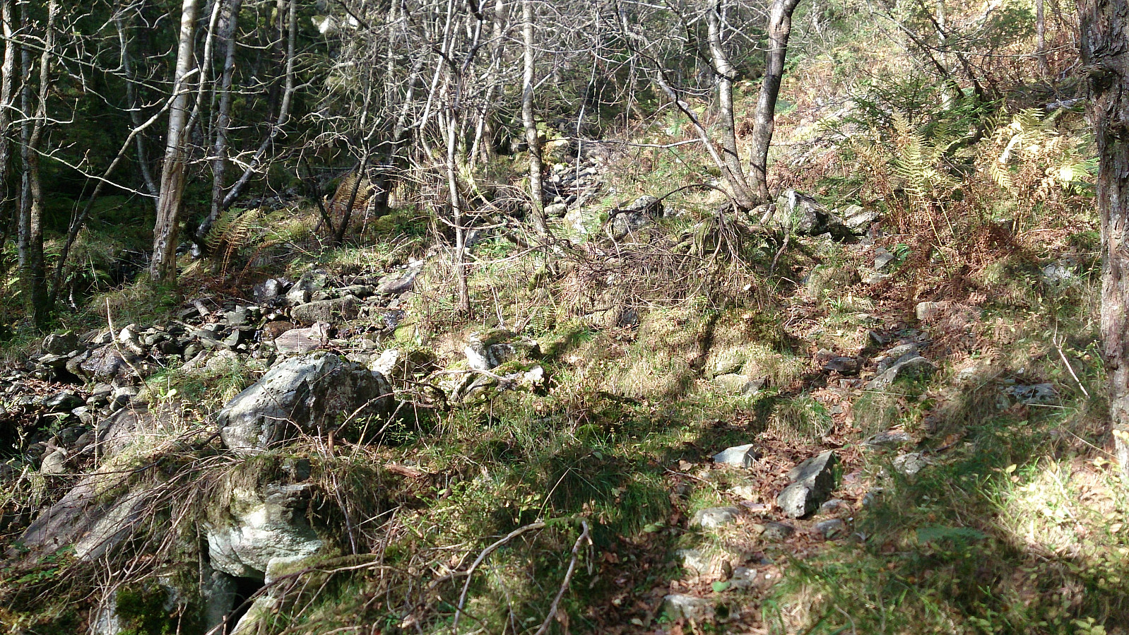
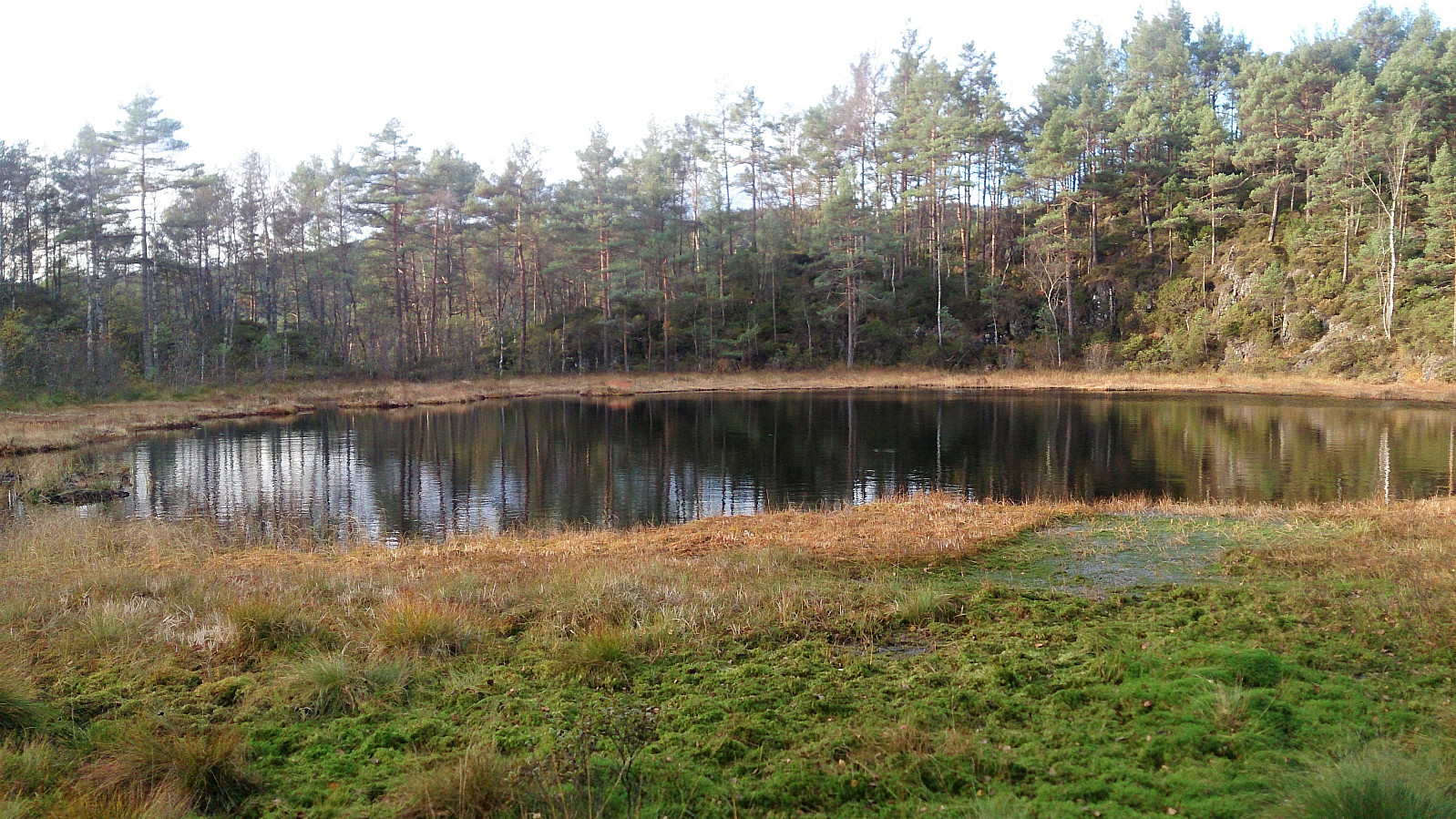
From Ulvenskiftet I continued north along the main road until reaching Byvegen, which I then followed north beyond the last house. Here the road turned into a tractor road which soon reached a small unnamed lake splitting the road. I headed right, as this option seemed to go closest to the top of Galtåsen. The tractor road here turned into more of a trail, that continued along the southeastern side of Galtåsen.
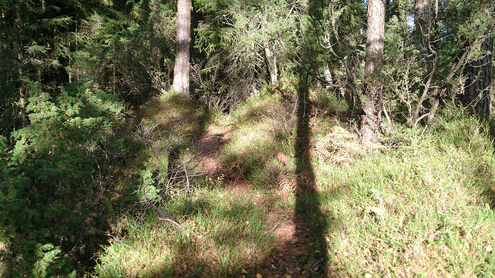
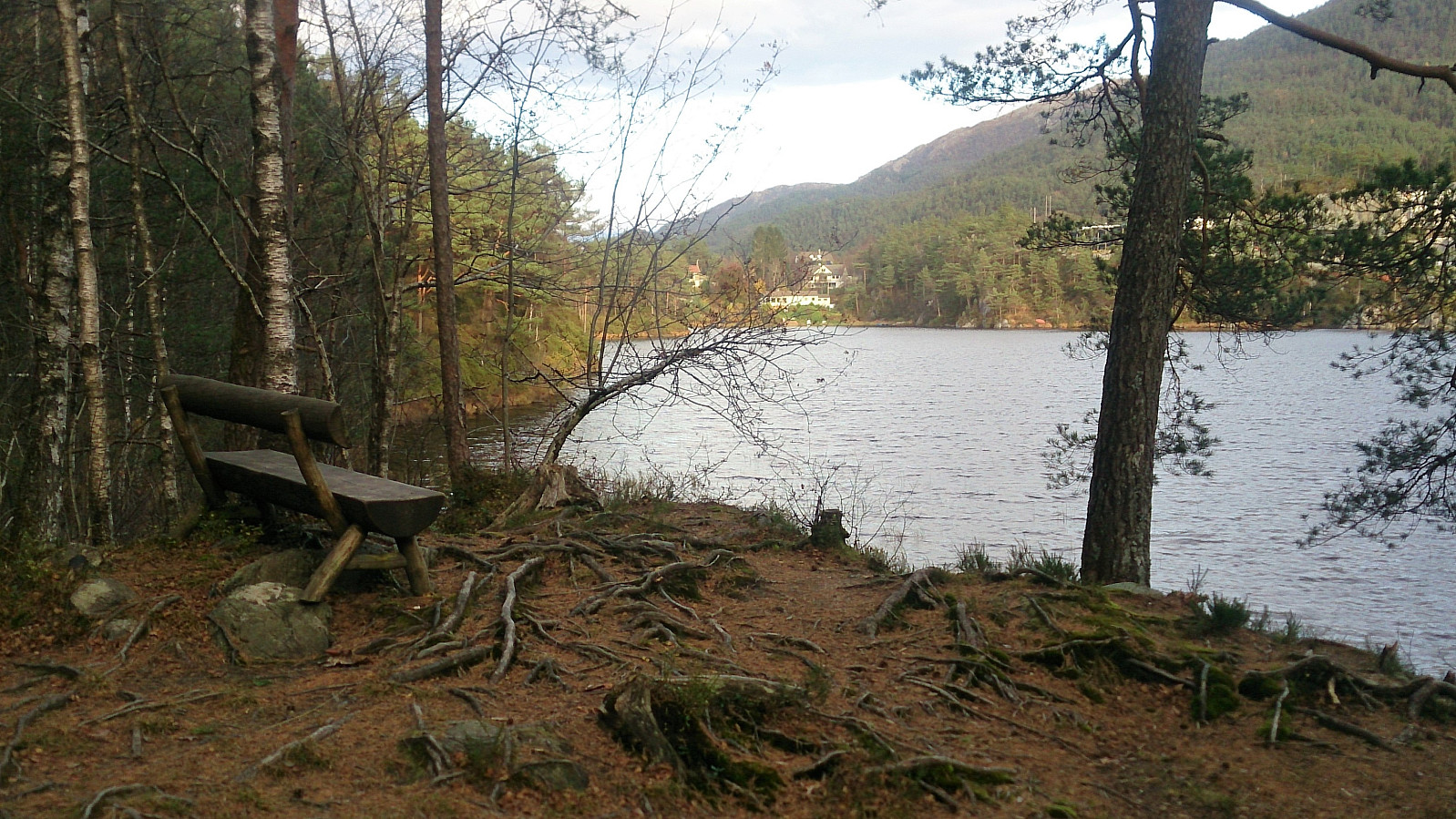
As the trail came close to the highest point of Galtåsen, it split again, and again I went right. But it soon became clear that even this trail would not pass by the actual summit. I therefore left the trail and headed straight for the summit, less than 50 meters from the trail. The summit itself provided very limited views, but Vinddalsvatnet could be spotted in-between the trees.
After a quick visit to the summit, I returned to the last crossroads, and now followed the other alternative. This quickly brought me back to the main tractor road, which I then followed alongside the lake called Gåsakilen, before ending up at Søfteland for the bus back towards the city center.
Conclusion
Overall, this hike turned out much better than expected. With the limited trails indicated in the map, I was prepared for a lot of slow progress and having to mainly make my own way. This turned out to not be the case, with only the last part up to Skogafjellet being the exception, which in any case was made easier by all the deer tracks one could follow instead. That being said, I'm pretty sure I will not visit these two again.
| Startzeitpunkt | 21.10.2017 14:00 (UTC+01:00 SZ) |
| Endzeitpunkt | 21.10.2017 16:50 (UTC+01:00 SZ) |
| Gesamtzeit | 2h 49min |
| Zeit in Bewegung | 2h 40min |
| Pausenzeit | 0h 9min |
| Gesamtschnitt | 3,0km/h |
| Bewegungsschnitt | 3,1km/h |
| Entfernung | 8,3km |
| Höhenmeter | 445m |


Benutzerkommentare