
Baugtveit Roundtrip (24.09.2017)

Written by hbar (Harald Barsnes)

| Start point | Støbotn (74m) |
|---|---|
| Endpoint | Støbotn (74m) |
| Characteristic | Hillwalk |
| Duration | 3h 03min |
| Distance | 8.9km |
| Vertical meters | 624m |
| GPS |
|
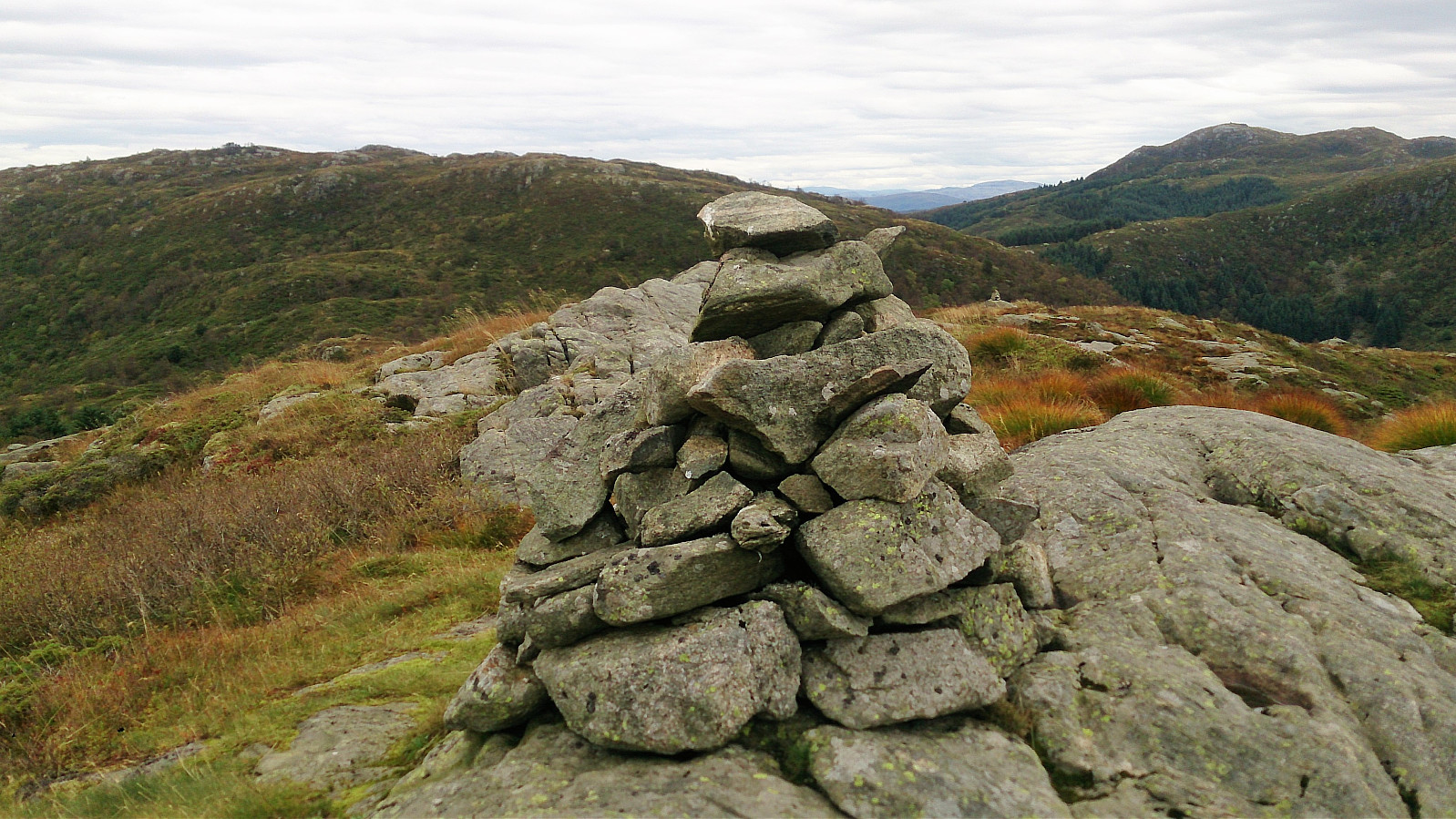
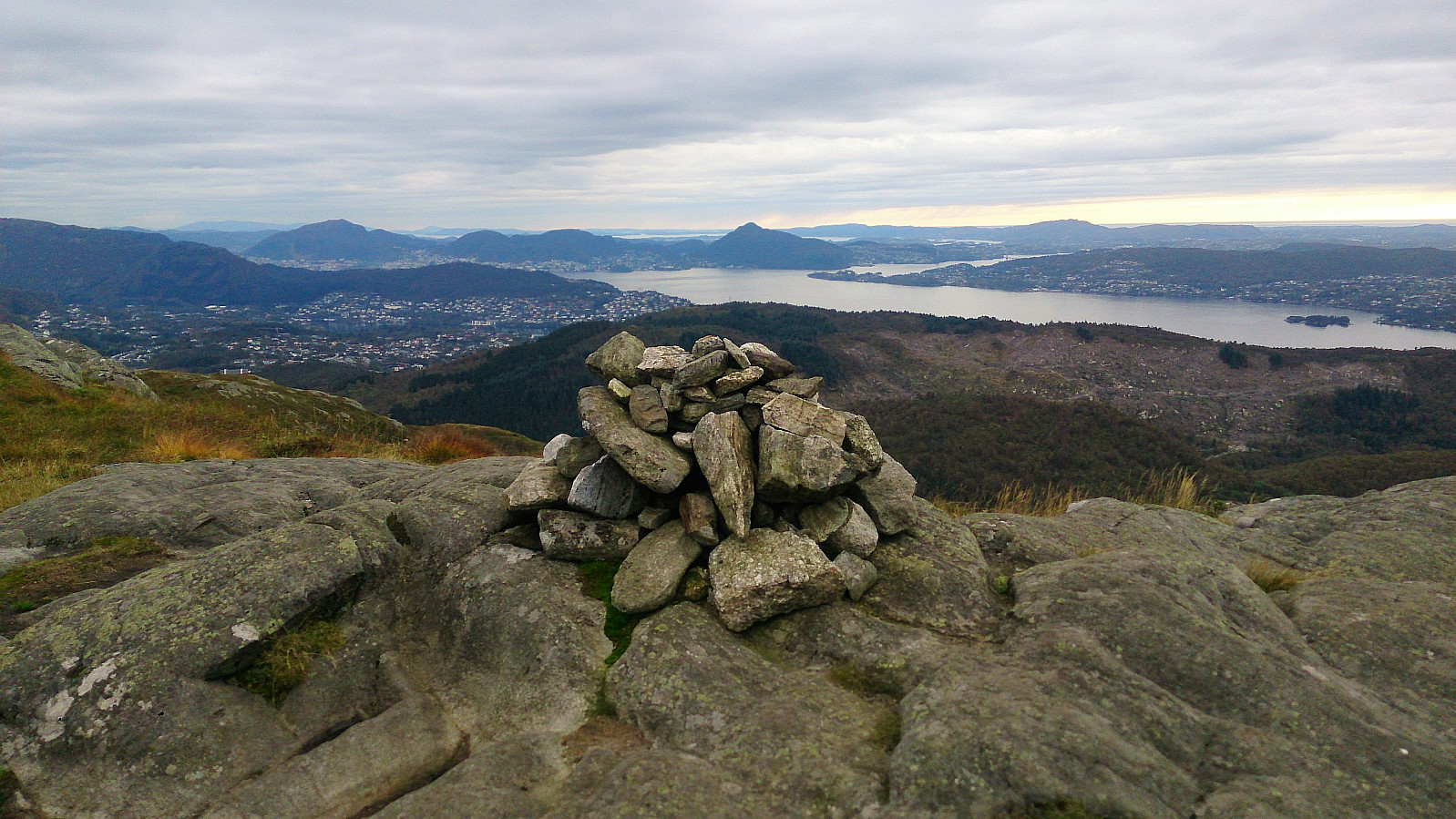
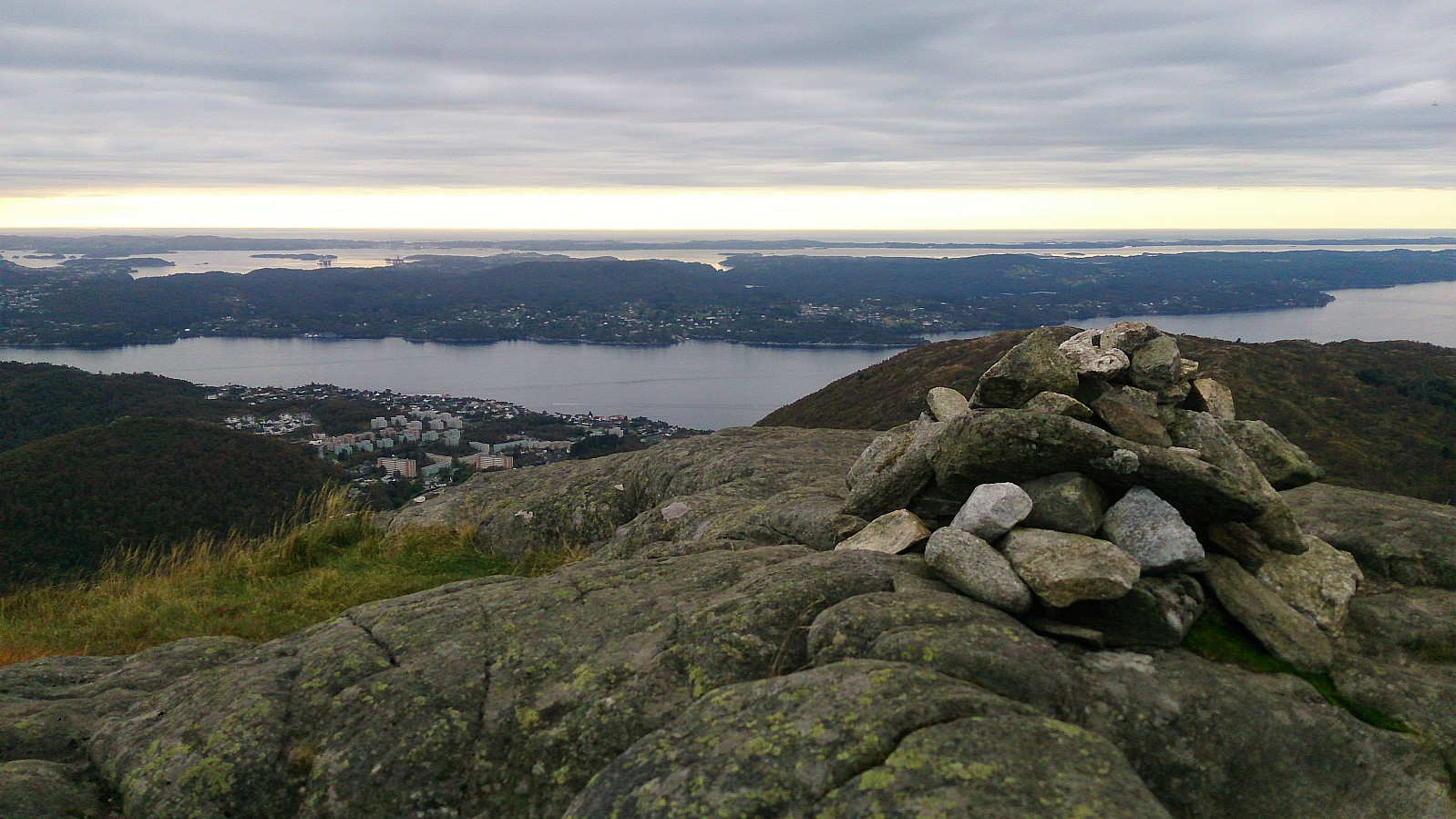
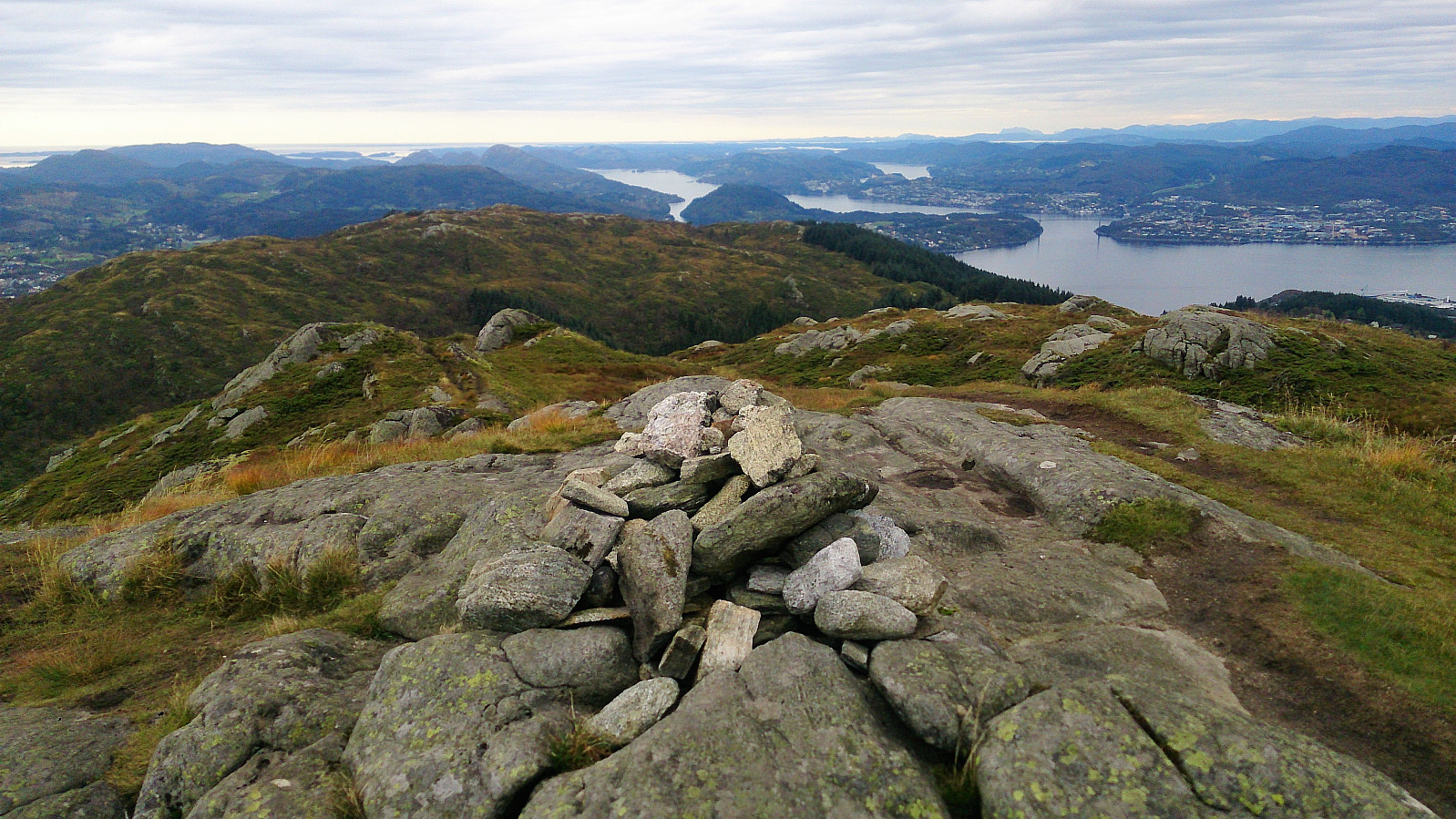
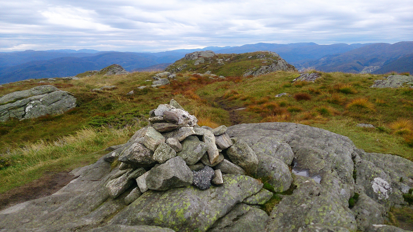
| Ascents | Høgstefjellet (464m) | 24.09.2017 |
|---|---|---|
| Midtfjellet i Åsane (430m) | 24.09.2017 | |
| Nordgardsfjellet (355m) | 24.09.2017 | |
| Tellevikafjellet (395m) | 24.09.2017 | |
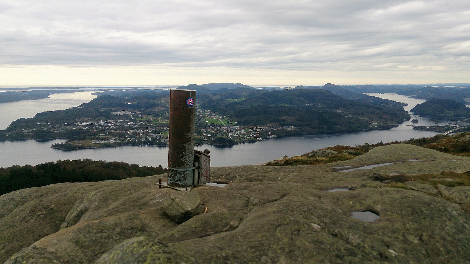
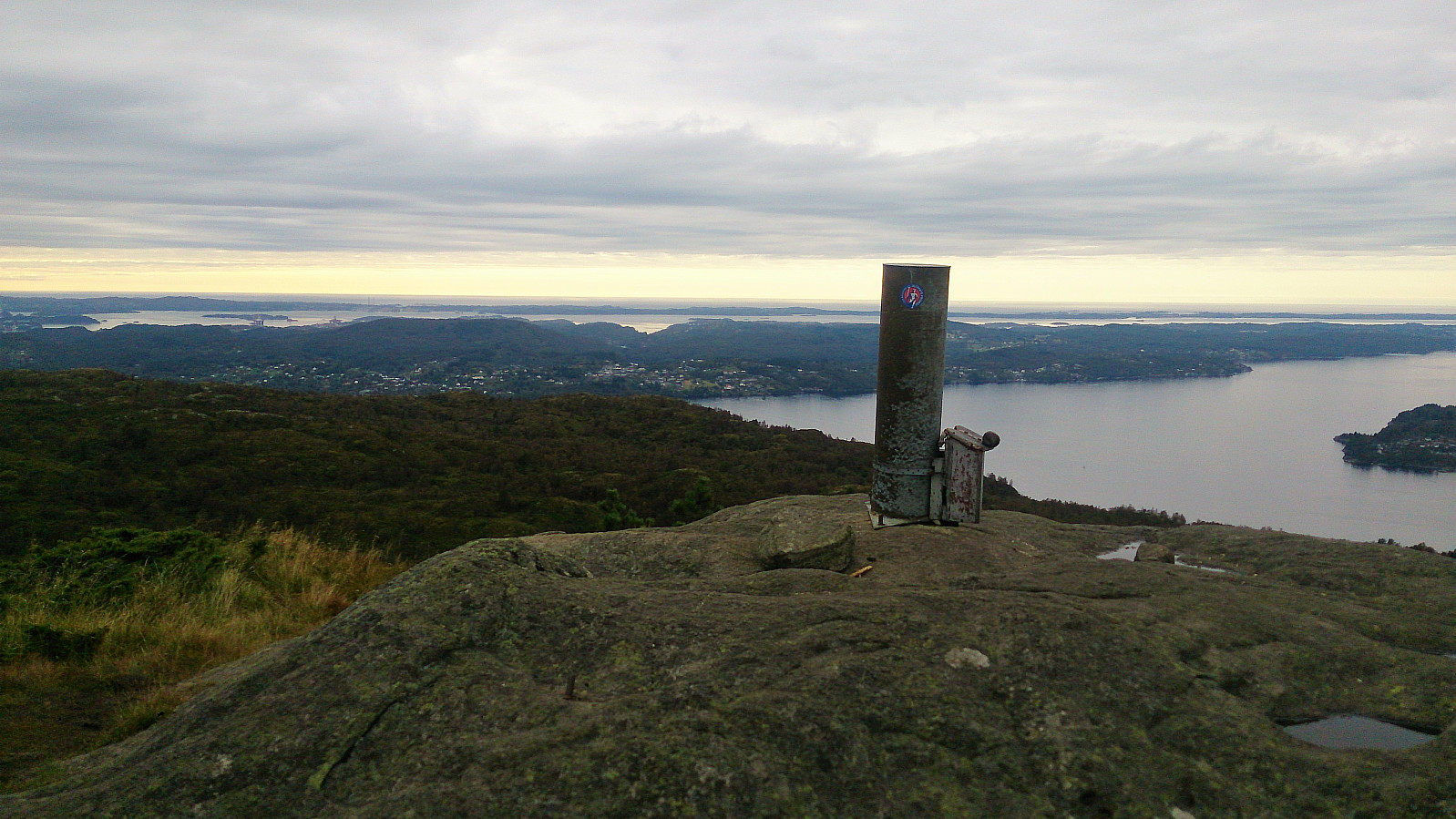
| Visits of other PBEs | Tellevikafjellet søyle (390m) | 24.09.2017 |
Baugtveit Roundtrip
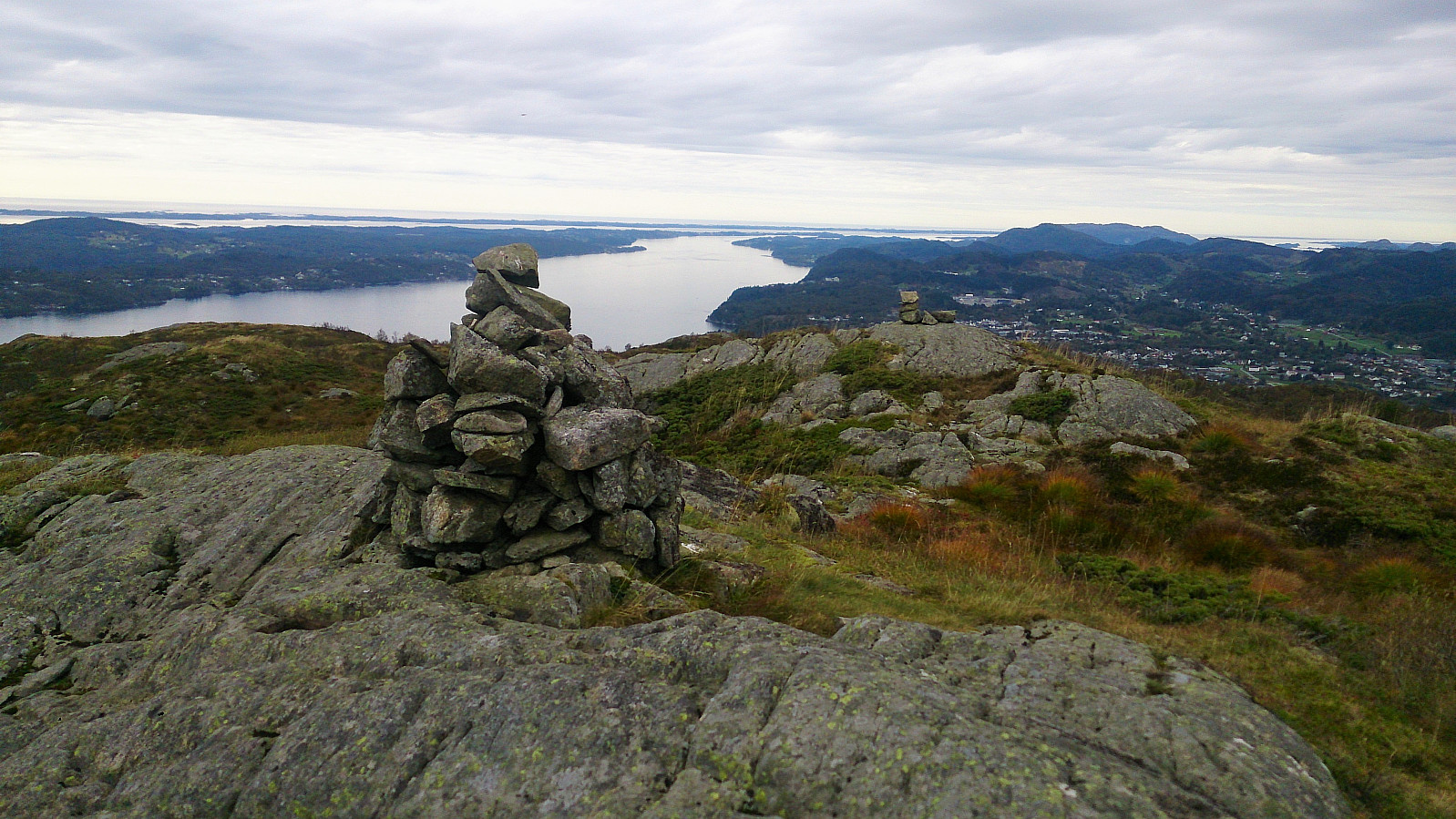
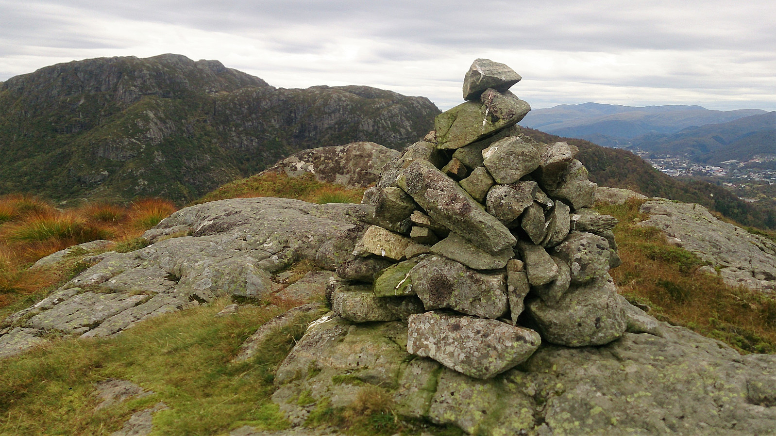
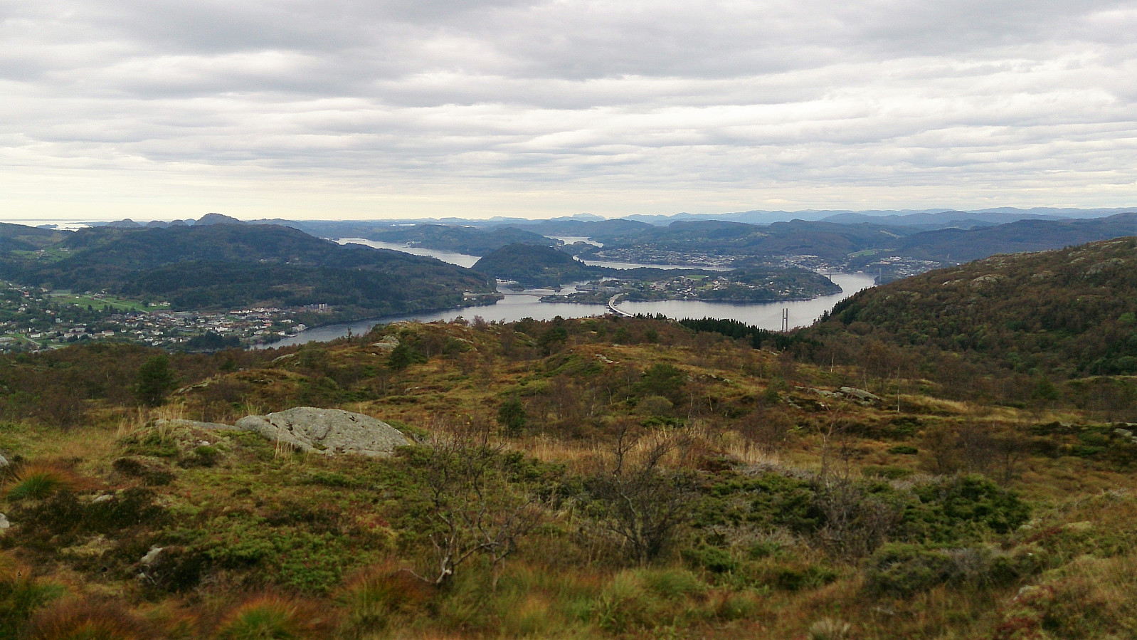
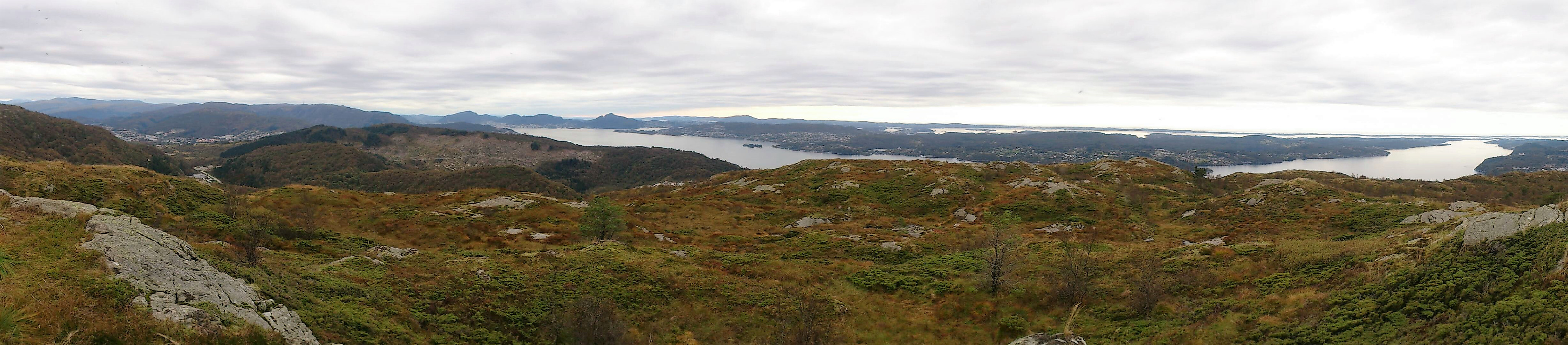
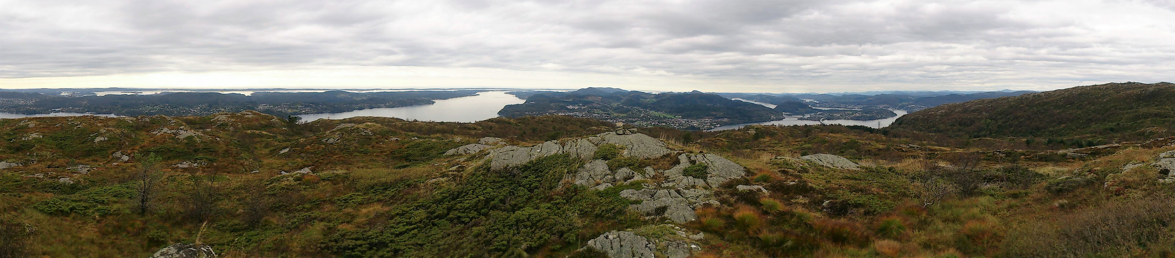
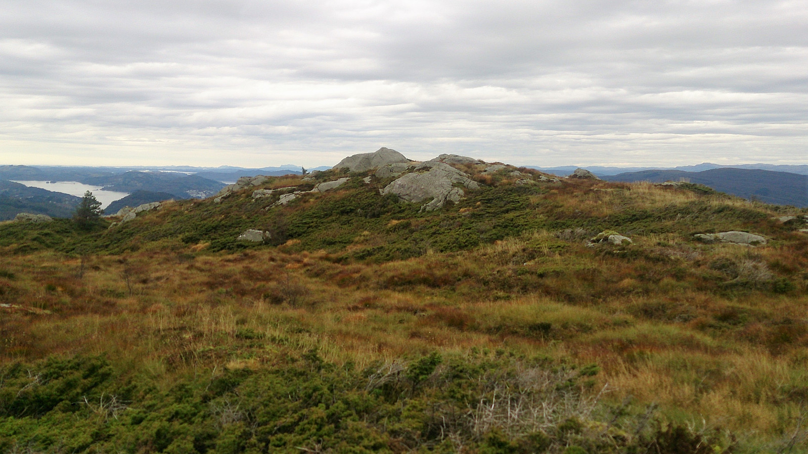
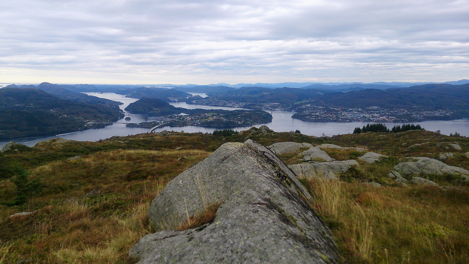
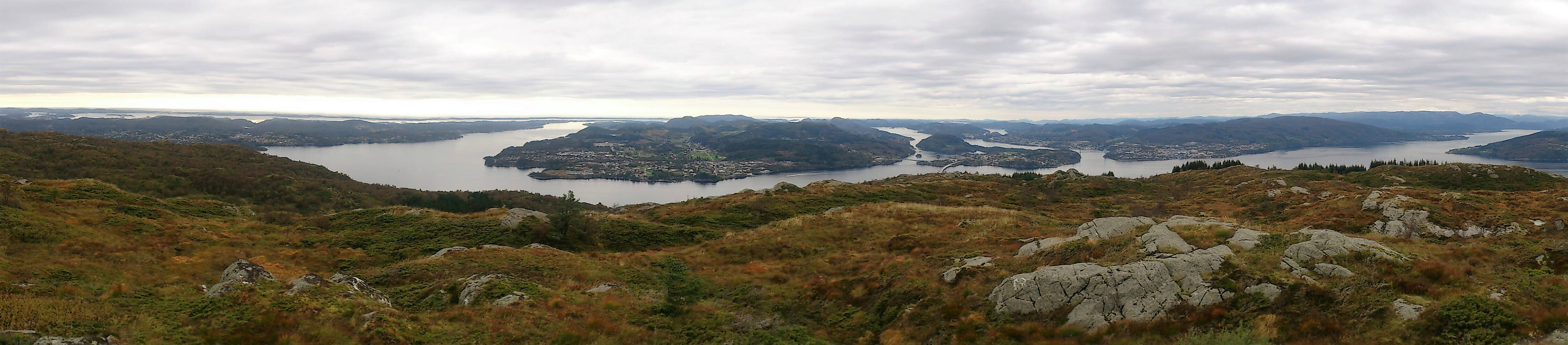
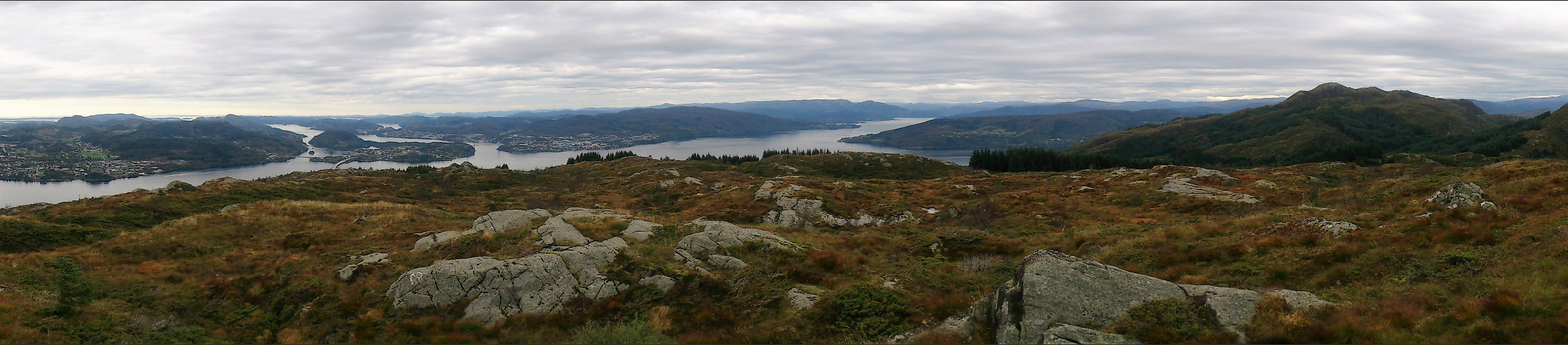
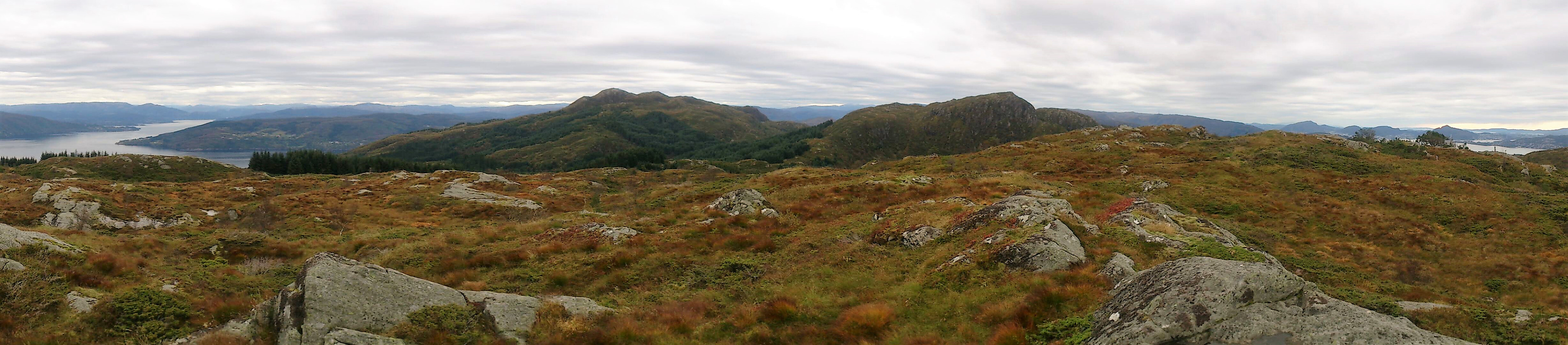
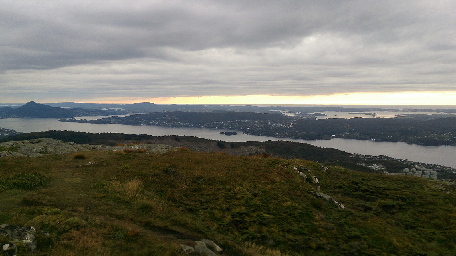
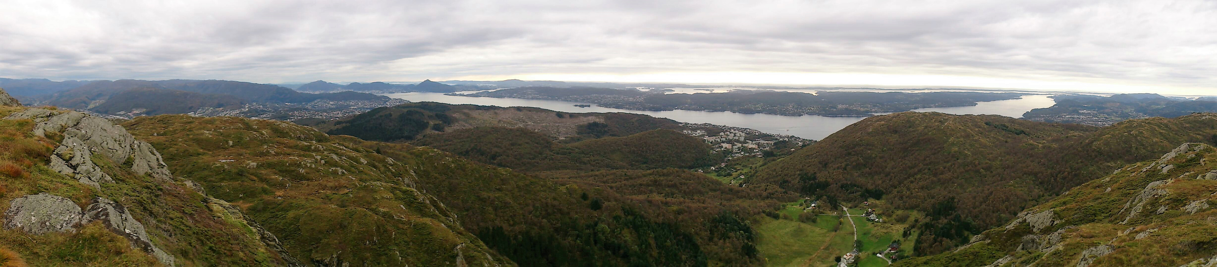
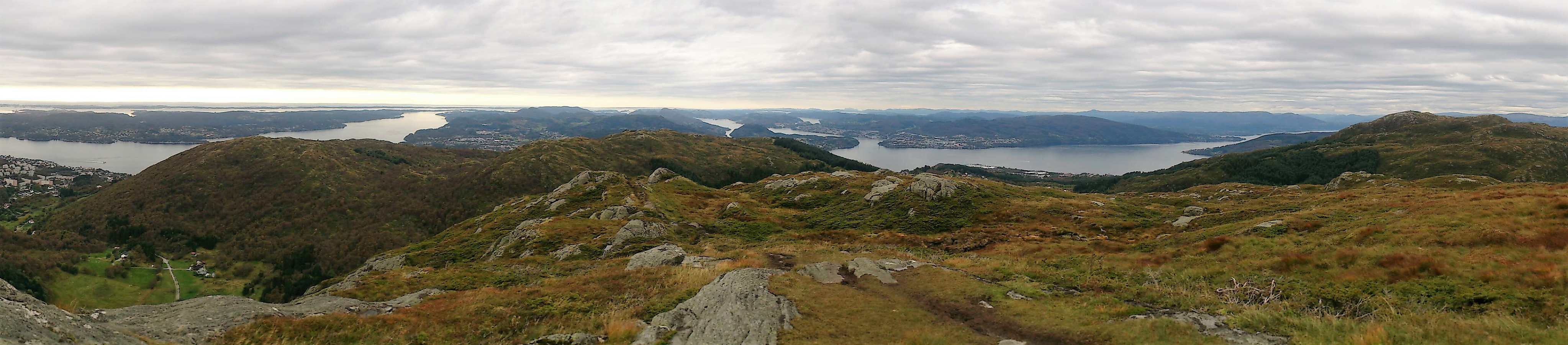
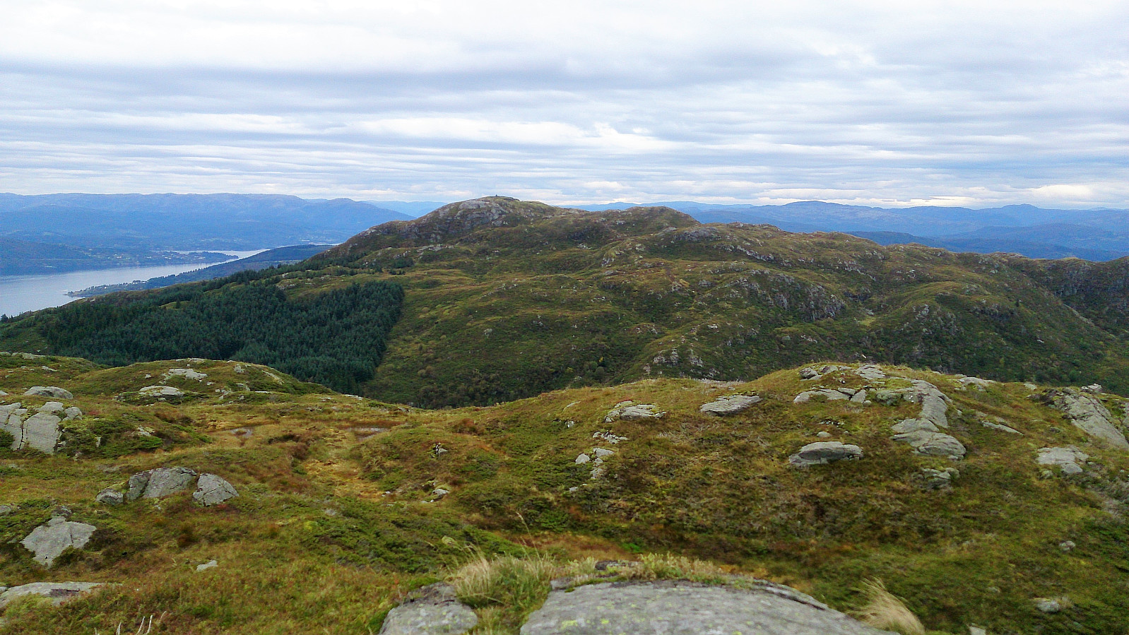
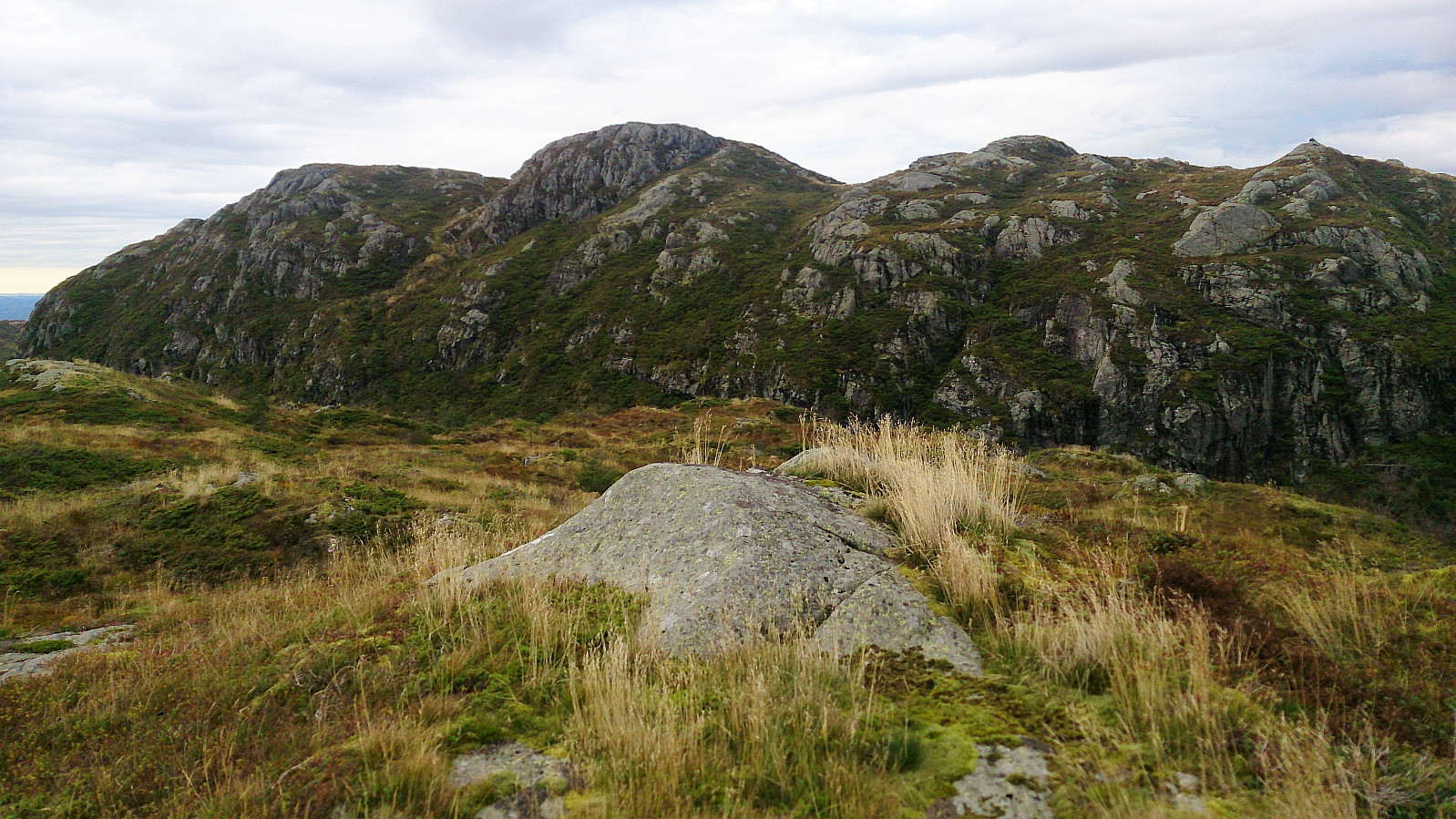
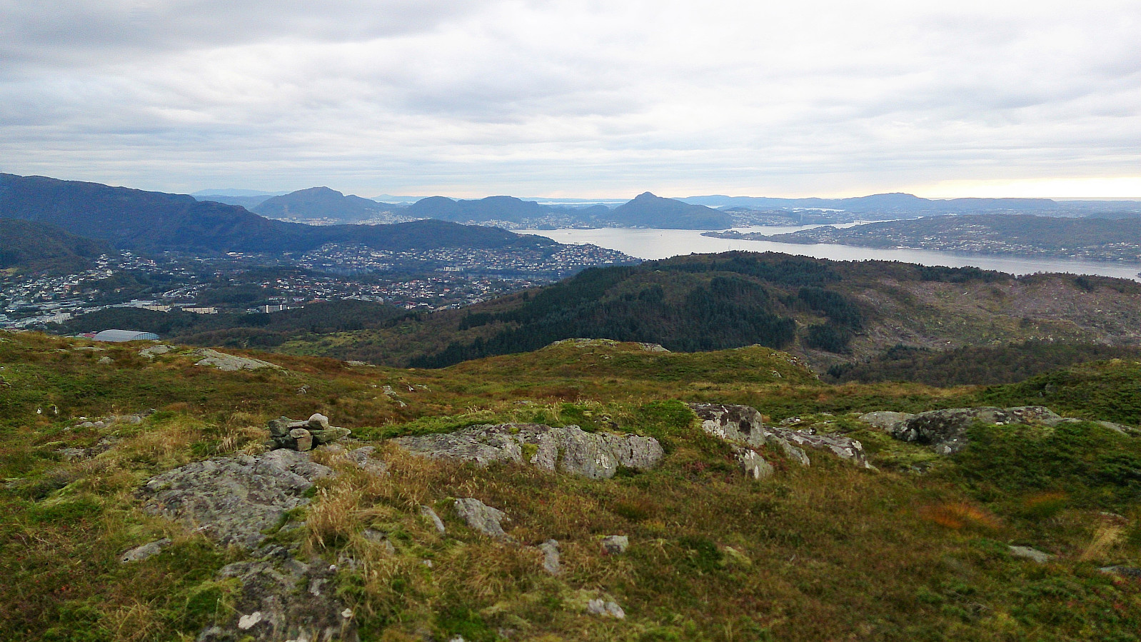
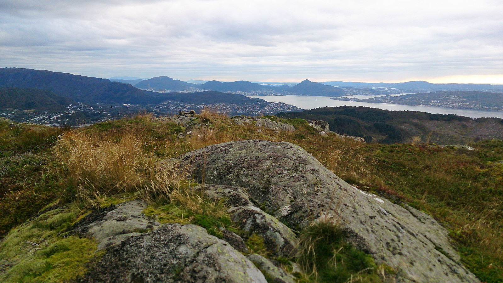
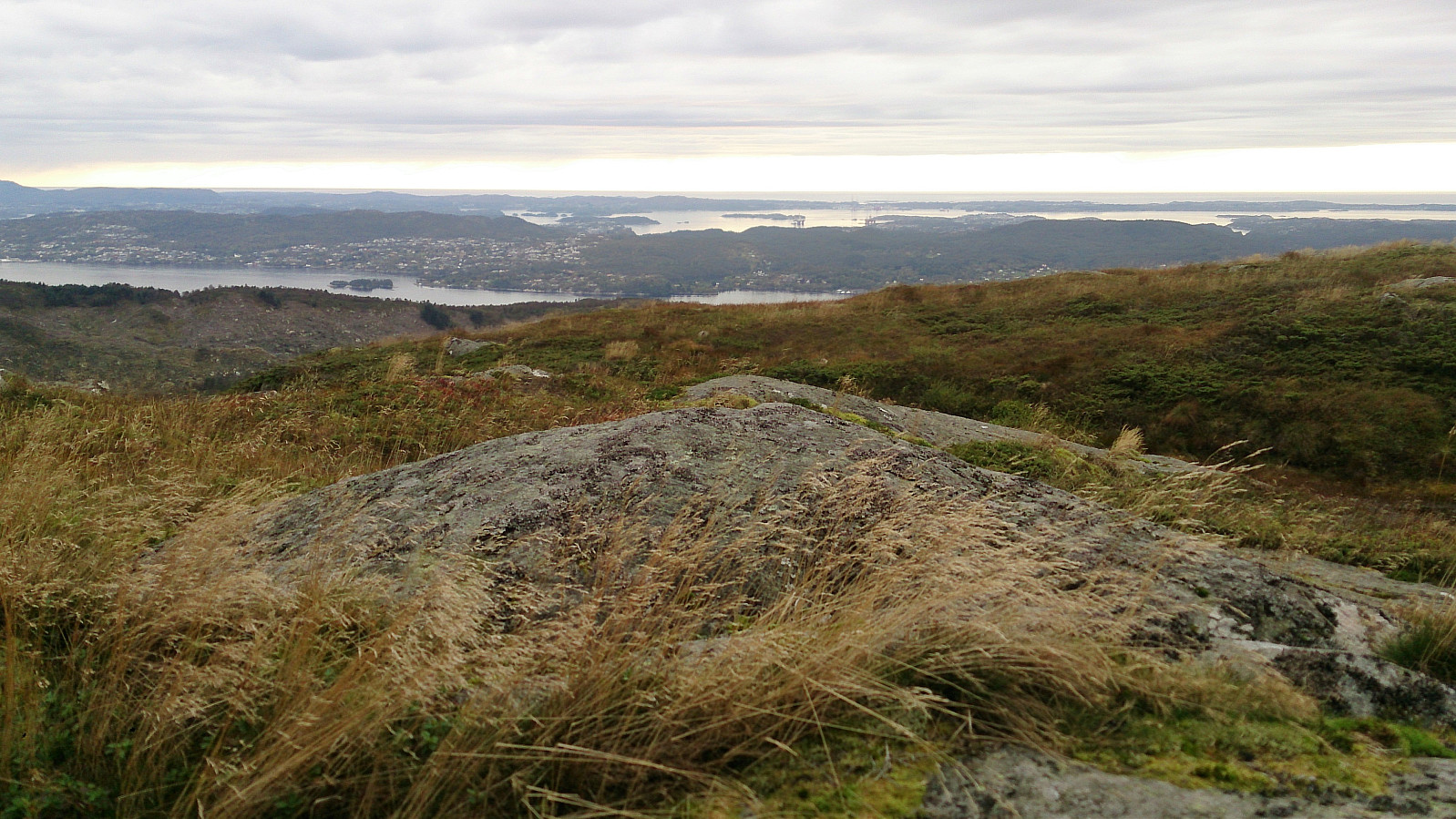
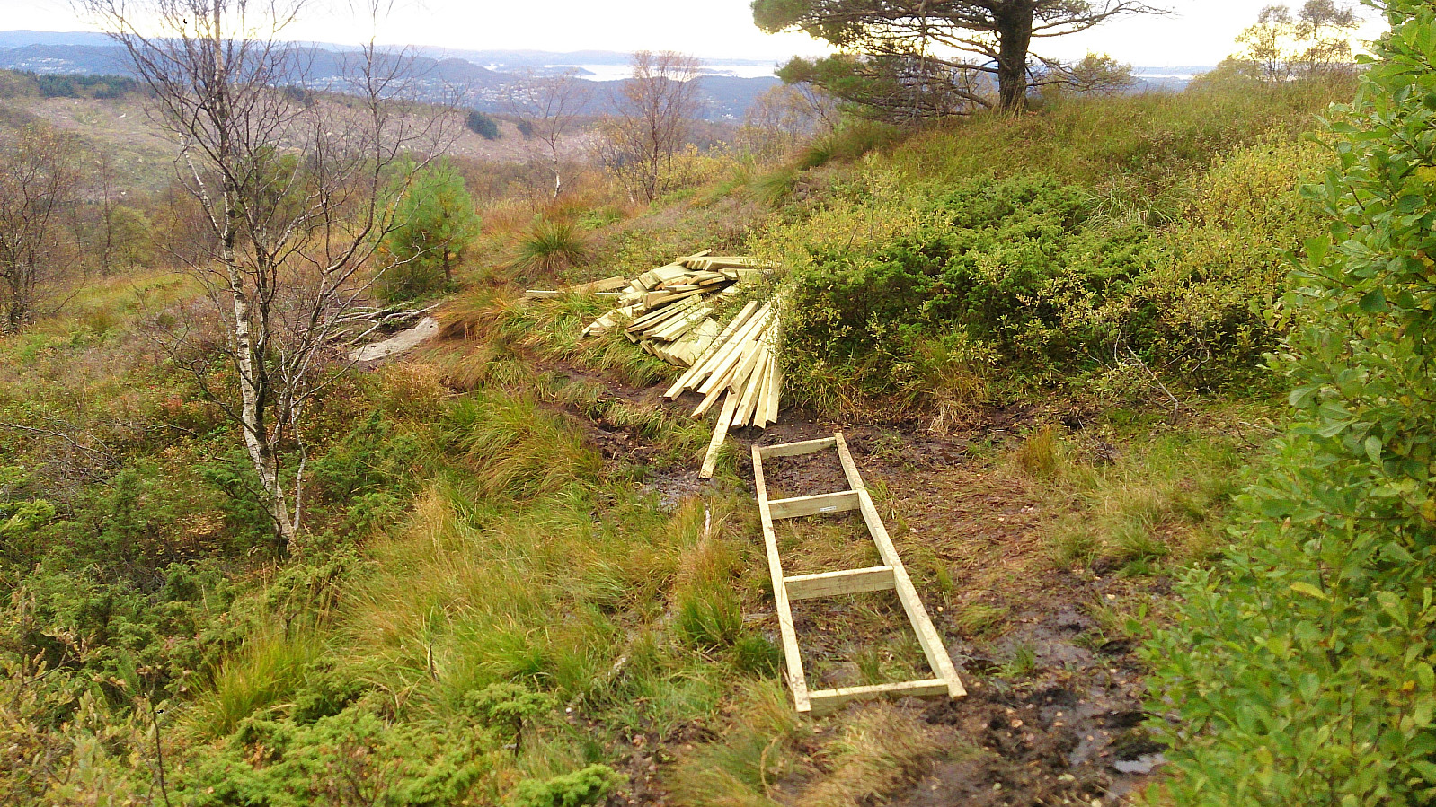
Started by taking the bus to Støbotn and walking up to Baugtveit and the trail towards Nordgardsfjellet. I then followed the standard trail to Nordgardsfjellet, Tellevikafjellet and Høgstefjellet. On the way down from Høgstefjellet, I took a quick detour to the summit of Midtfjellet, before completing the circle and arriving at Baugtveit, from where I walked back to Støbotn and the bus back towards the city center. Overall, the trail was easy to follow, but the quality was varied, with several wet and muddy sections. But all in all, a nice hike that can be recommended.


| Start date | 24.09.2017 14:47 (UTC+01:00 DST) |
| End date | 24.09.2017 17:50 (UTC+01:00 DST) |
| Total Time | 3h 03min |
| Moving Time | 2h 54min |
| Stopped Time | 0h 9min |
| Overall Average | 2.9km/h |
| Moving Average | 3.1km/h |
| Distance | 8.9km |
| Vertical meters | 623m |


User comments