Baugtveit Roundtrip (24.09.2017)

Skrevet av hbar (Harald Barsnes) GSM

Startsted Støbotn (74moh)
Sluttsted Støbotn (74moh)
Turtype Fjelltur
Turlengde 3t 03min
Distanse 8,9km
Høydemeter 624m
GPS
Bestigninger Høgstefjellet (464moh) 24.09.2017
Midtfjellet i Åsane (430moh) 24.09.2017
Nordgardsfjellet (355moh) 24.09.2017
Tellevikafjellet (391moh) 24.09.2017
Andre besøkte PBE'er Tellevikafjellet søyle (390moh) 24.09.2017

Baugtveit Roundtrip

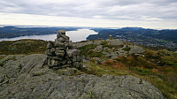
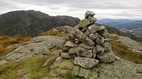
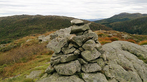
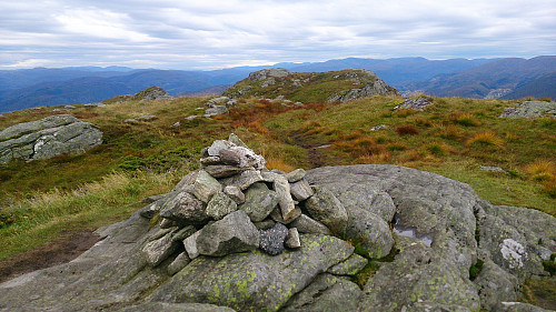
Cairn at Nordgardsfjellet

Started by taking the bus to Støbotn and walking up to Baugtveit and the trail towards Nordgardsfjellet. I then followed the standard trail to Nordgardsfjellet, Tellevikafjellet and Høgstefjellet. On the way down from Høgstefjellet, I took a quick detour to the summit of Midtfjellet, before completing the circle and arriving at Baugtveit, from where I walked back to Støbotn and the bus back towards the city center. Overall, the trail was easy to follow, but the quality was varied, with several wet and muddy sections. But all in all, a nice hike that can be recommended.


The cairn at Nordgardsfjellet. Tellevikafjellet (left) and Veten (right) in the background.
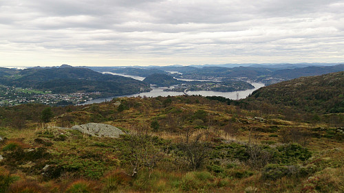
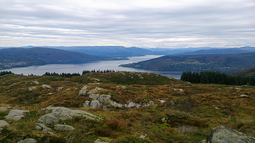
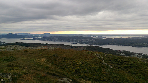
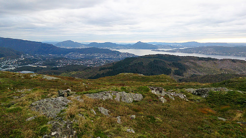
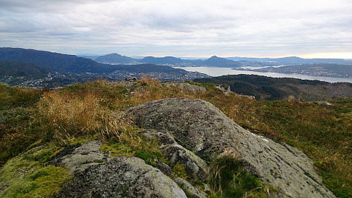
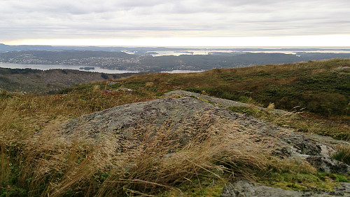
North from Nordgardsfjellet
West from Nordgardsfjellet
North from Nordgardsfjellet
East from Nordgardsfjellet
South from Nordgardsfjellet
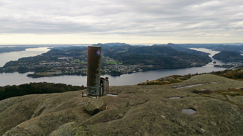
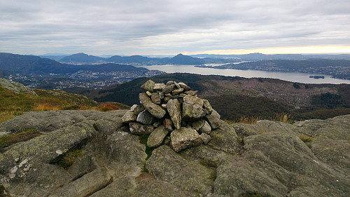
The trig marker at Tellevikafjellet. Holsnøy in the background.
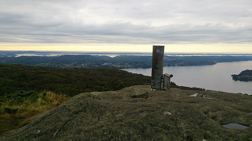
The trig marker at Tellevikafjellet. View west.
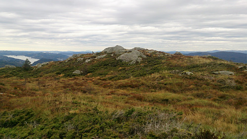
The highest point at Tellevikafjellet
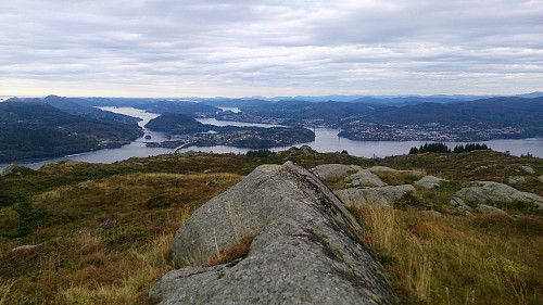
North from Tellevikafjellet
Northeast from Tellevikafjellet
Southeast from Tellevikafjellet
Northeast from Tellevikafjellet
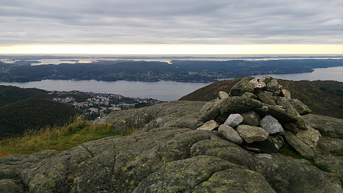
The cairn at Høgstefjellet
The cairn at Høgstefjellet. The highest point is in the background.
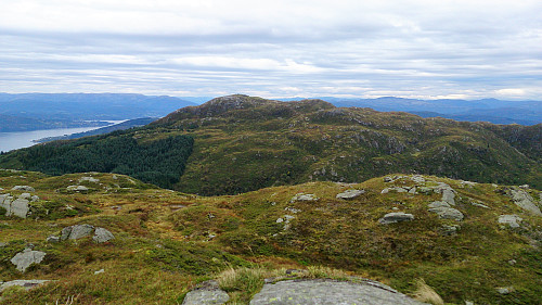
West from Høgstefjellet
West from the cairn at Høgstefjellet
West from Høgstefjellet
View towards Veten from Høgstefjellet
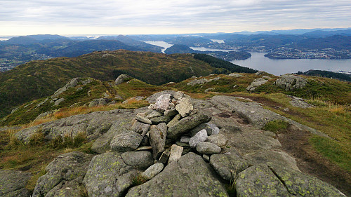
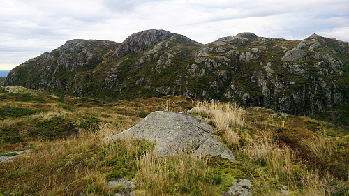
The highest point at Midtfjellet. Høgstefjellet in the background.
View from Midtfjellet
The highest point at Midtfjellet
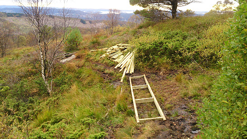
Trail improvement in progress! :)

Starttidspunkt 24.09.2017 14:47
(UTC+01:00 ST)
Sluttidspunkt 24.09.2017 17:50
(UTC+01:00 ST)
Totaltid 3t 03min
Bevegelsestid 2t 54min
Pausetid 0t 9min
Snittfart totalt 2,9km/t
Snittfart bevegelsestid 3,1km/t
Distanse 8,9km
Høydemeter 623m

Kommentarer

Tittel:
Tilgjengelige tegn: 1000
Kommentartekst:
Du må være innlogget for å skrive kommentarer.