
Slakkafjellet (27.07.2017)

Written by hbar (Harald Barsnes)

| Start point | Asbjørnhaugen (183m) |
|---|---|
| Endpoint | Asbjørnhaugen (186m) |
| Characteristic | Hillwalk |
| Duration | 2h 27min |
| Distance | 7.3km |
| Vertical meters | 698m |
| GPS |
|
| Ascents | Slakkafjellet (855m) | 27.07.2017 |
|---|---|---|
| Visits of other PBEs | Slakkafjellet tursti (855m) | 27.07.2017 |
| Slakken (585m) | 27.07.2017 |
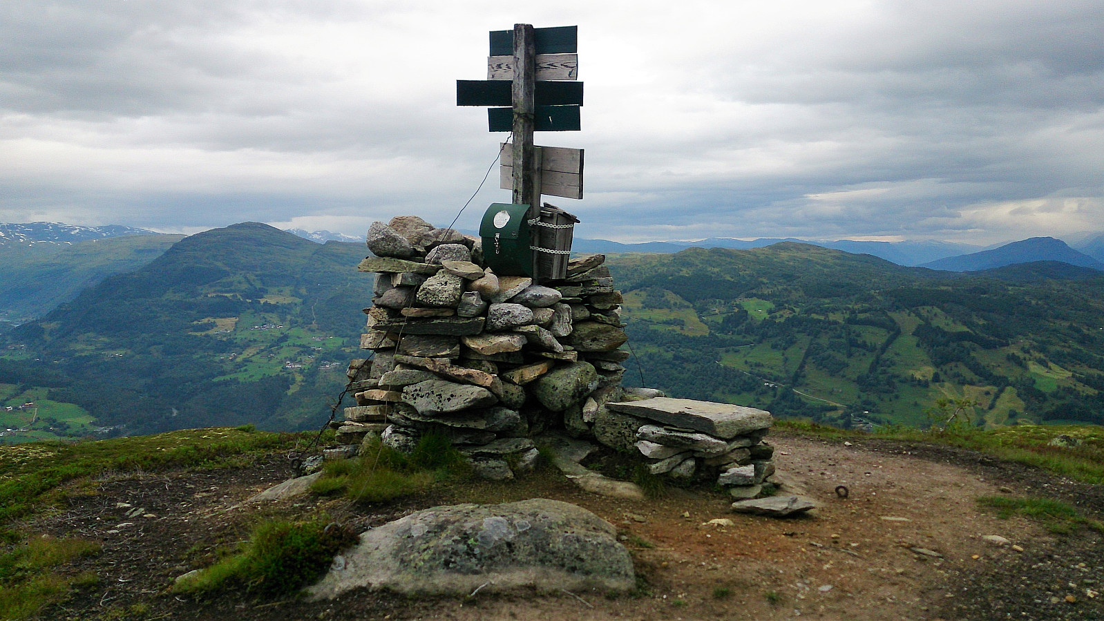
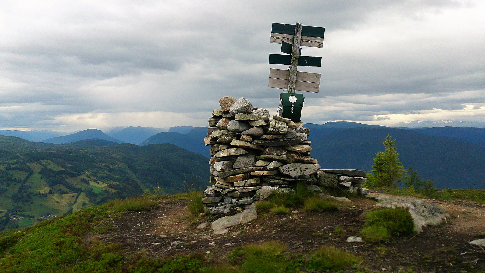
Slakkafjellet
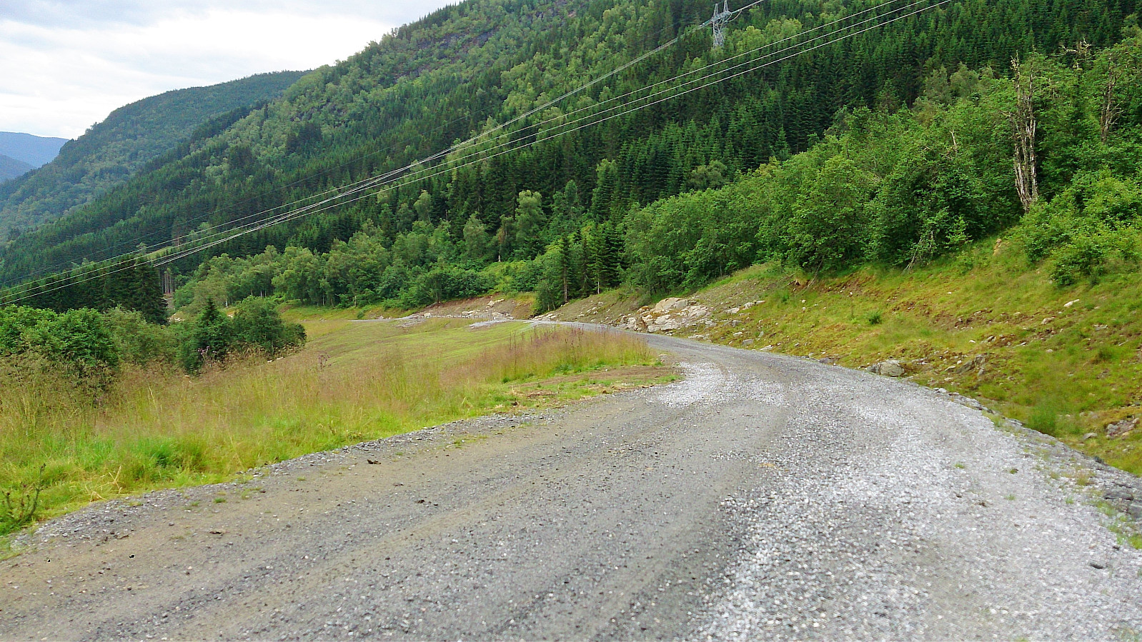
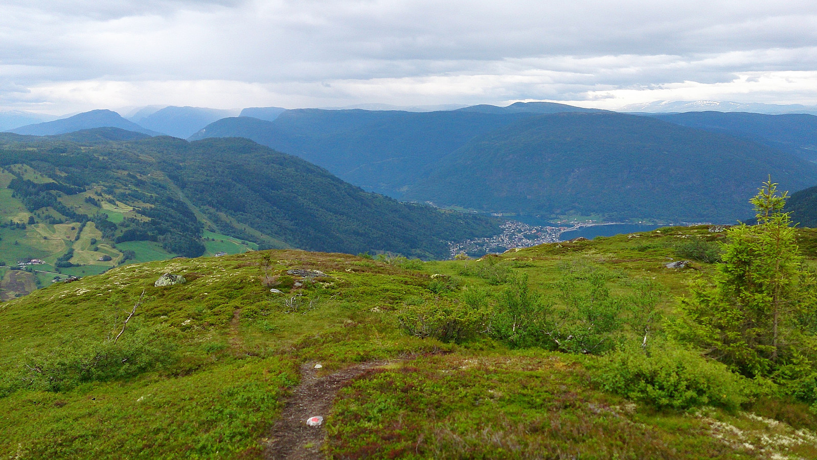
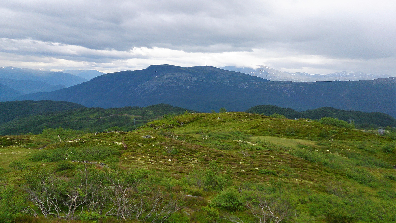
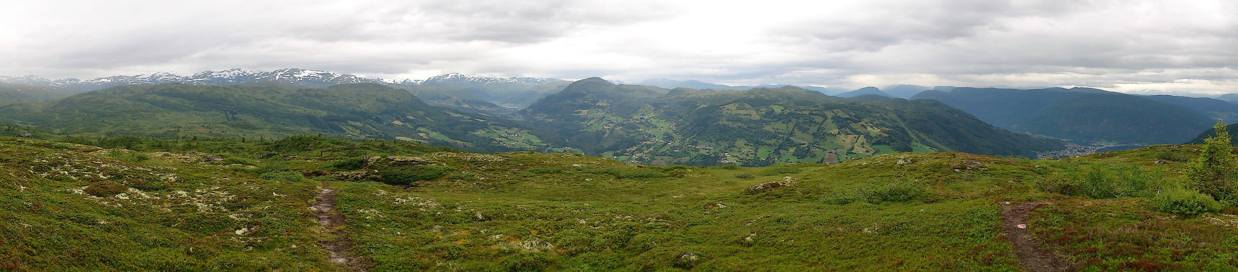
The hike started from Fv 212/Asbjørnhaugen and followed the marked trail all the way to the summit of Slakkafjellet. The trail partly followed the gravel road, but mainly took shortcuts until finally leaving the road behind when heading for the summit.
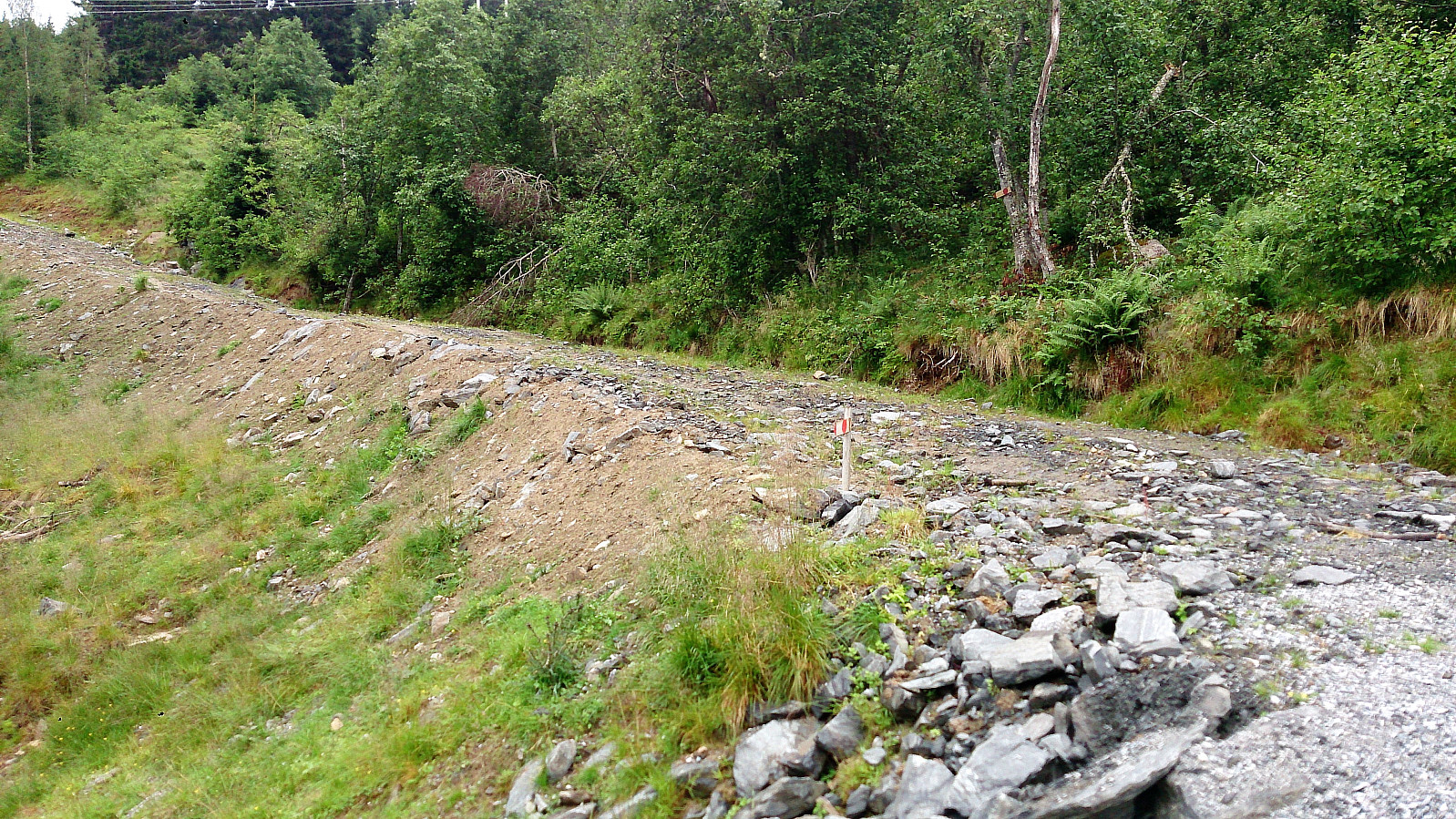
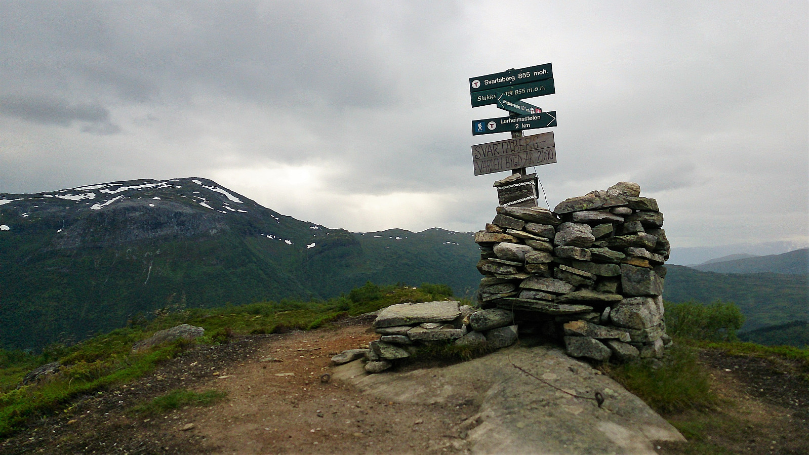
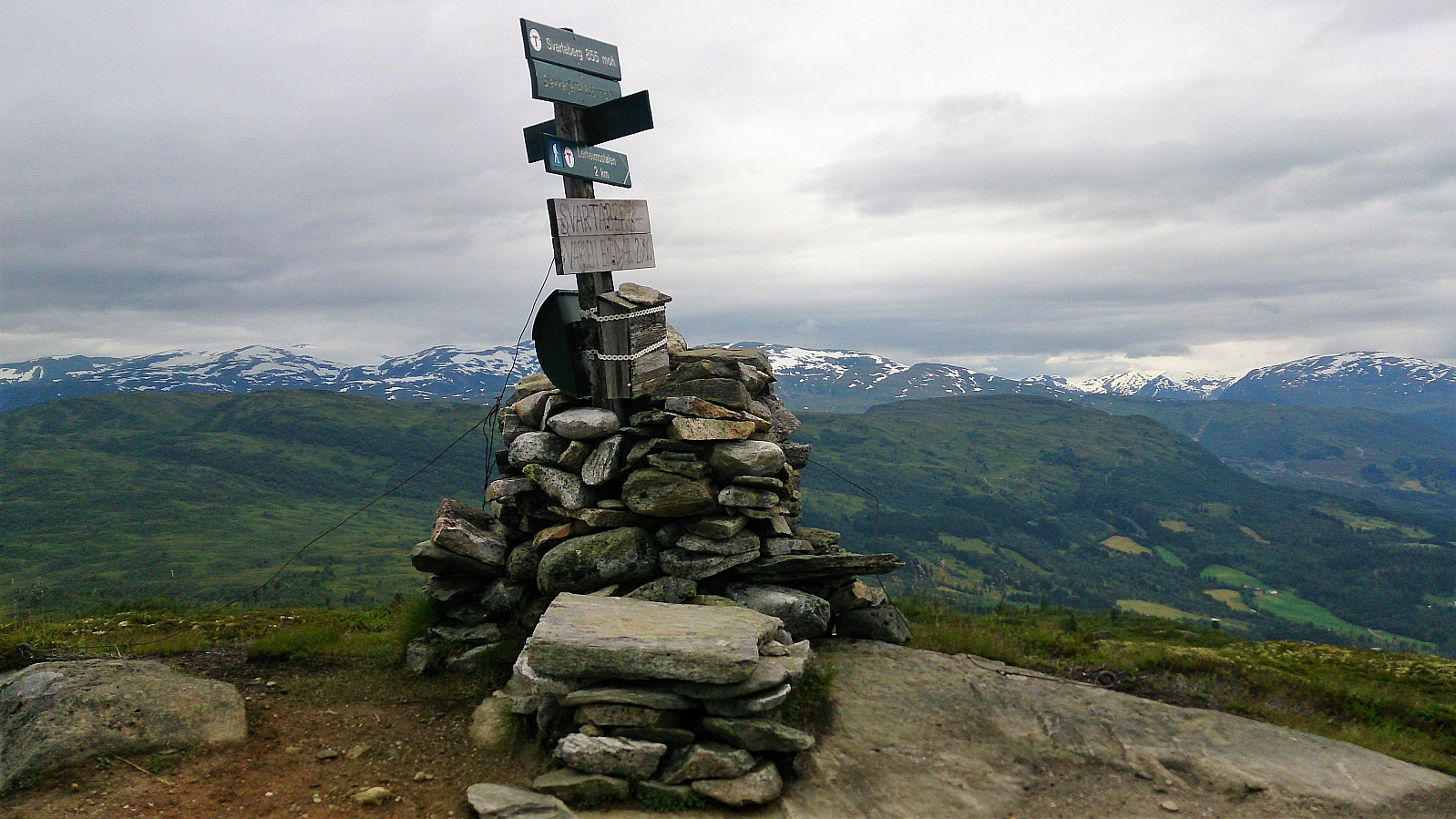
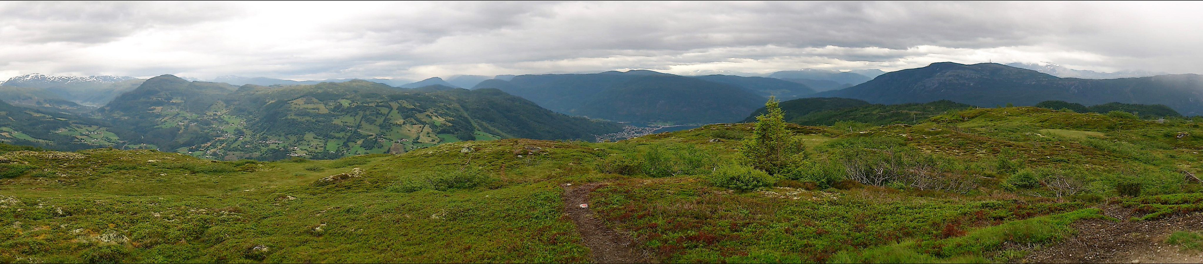
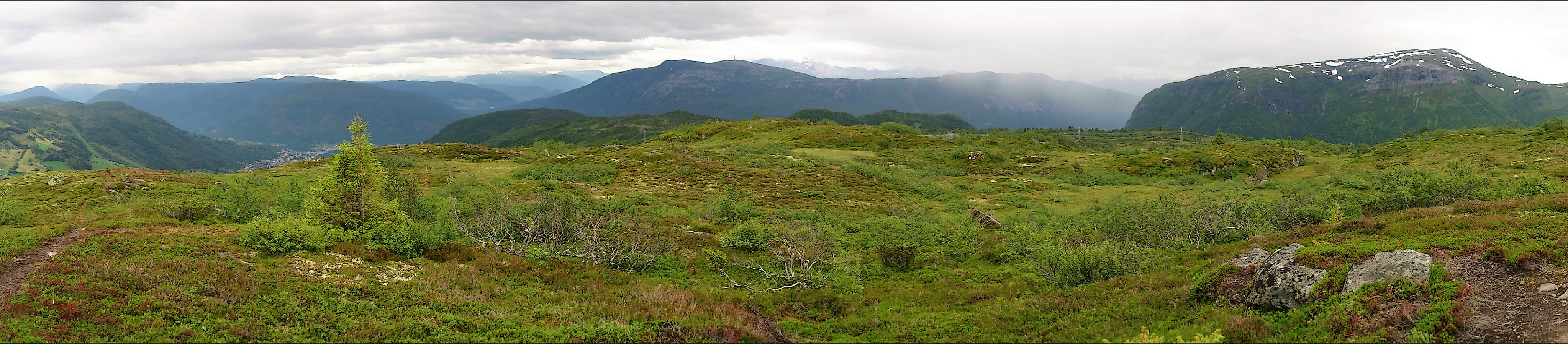
The trail was easy to follow, but the last stretch towards the summit had several wet areas, and the fact that it had been raining earlier in the day did not help. The views from the summit were better than expected, with nice views in all directions.
From the summit I tried to follow a trail southeast towards the gravel road, but I quickly lost the trail, and decided to instead head back to the same trail I had used on the ascent. Upon reaching the gravel road, I mainly followed it back down to the start of the hike, instead of taking the shortcuts.
Overall, a short hike with nice views, which is probably even better when the trail is less wet.

| Start date | 27.07.2017 14:06 (UTC+01:00 DST) |
| End date | 27.07.2017 16:34 (UTC+01:00 DST) |
| Total Time | 2h 27min |
| Moving Time | 2h 20min |
| Stopped Time | 0h 6min |
| Overall Average | 3.0km/h |
| Moving Average | 3.1km/h |
| Distance | 7.3km |
| Vertical meters | 698m |


User comments