
Signalen and Gardafjellet (05.07.2017)

Written by hbar (Harald Barsnes)

| Start point | Møvikvegen (72m) |
|---|---|
| Endpoint | Bildøybakken (50m) |
| Characteristic | Hillwalk |
| Duration | 2h 35min |
| Distance | 10.5km |
| Vertical meters | 340m |
| GPS |
|
| Ascents | Gardafjellet (112m) | 05.07.2017 |
|---|---|---|
| Signalen (164m) | 05.07.2017 | |
| Vest for Signalen (153m) | 05.07.2017 | |
| Visits of other PBEs | Signalen bomveg (79m) | 05.07.2017 |
Signalen and Gardafjellet

Signalen
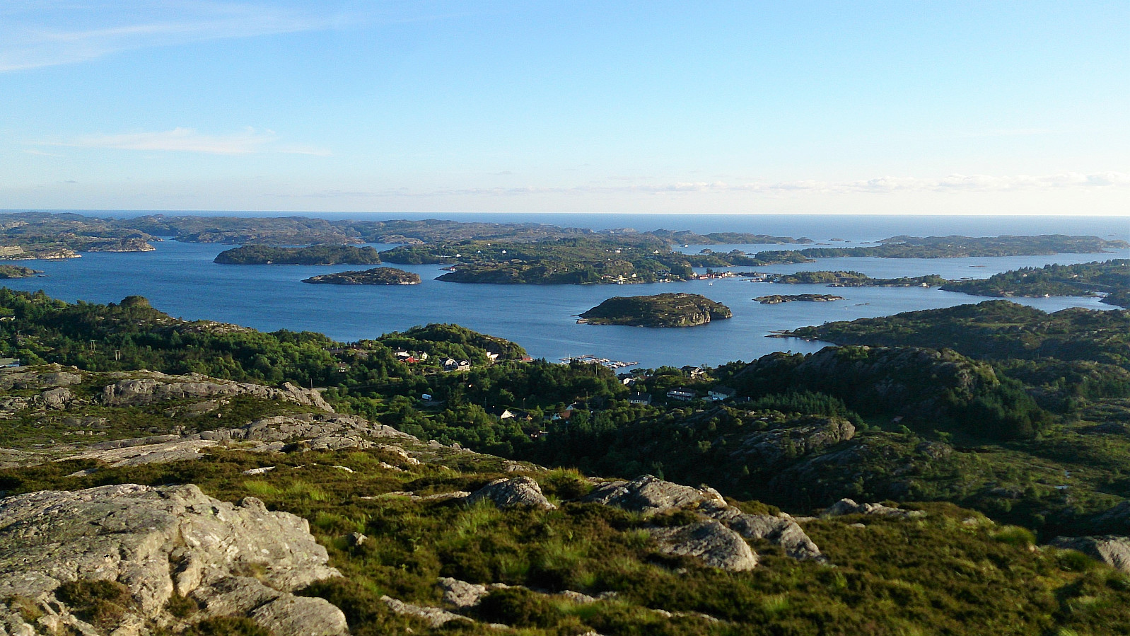
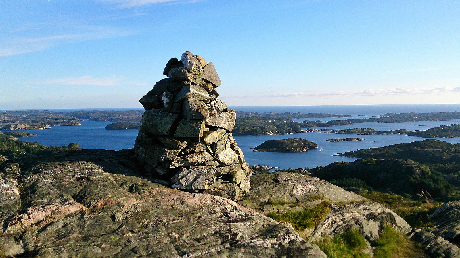
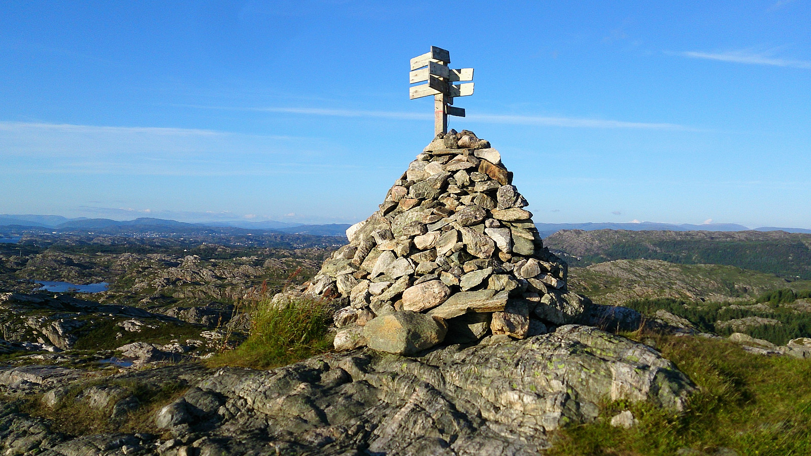
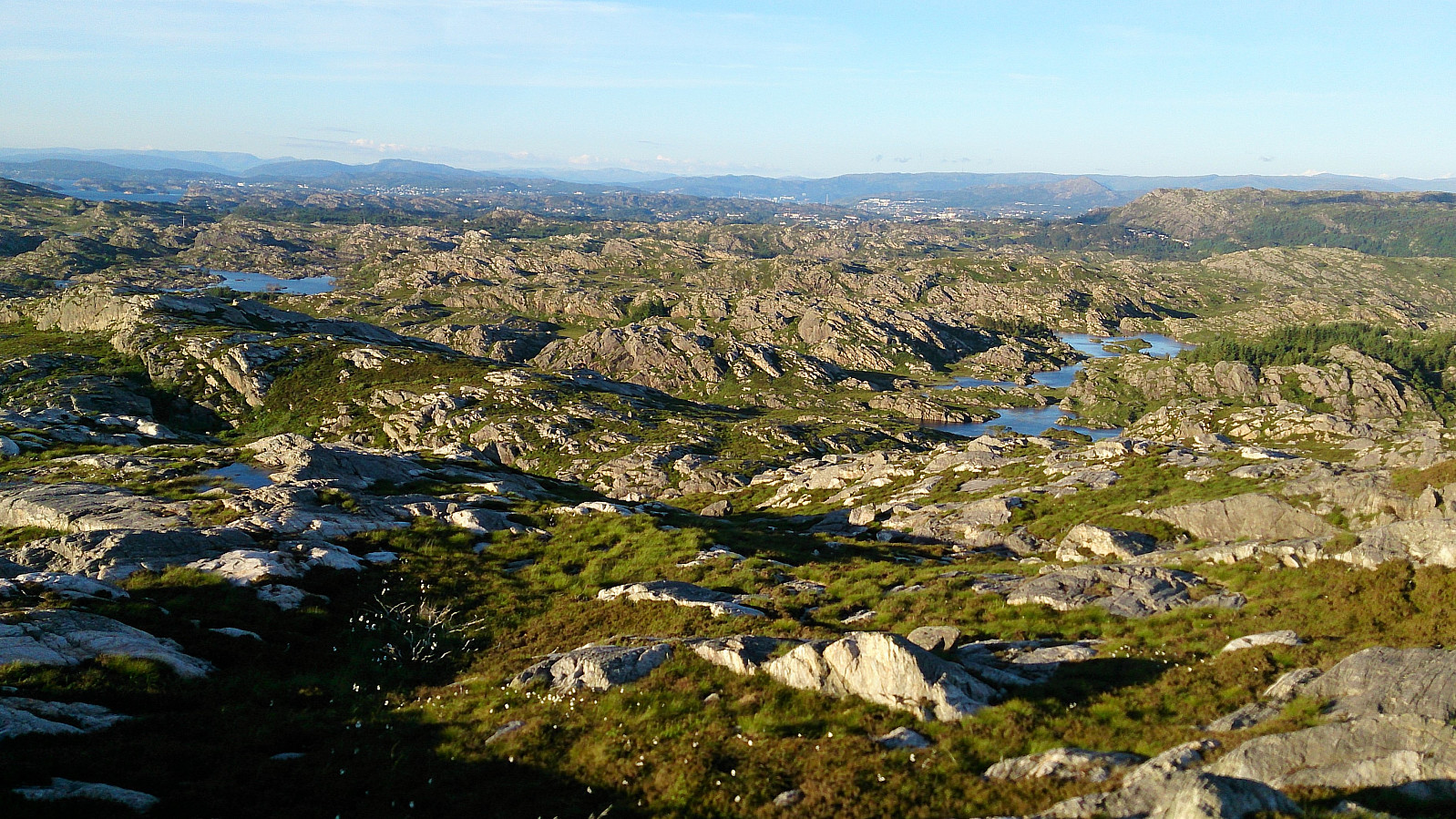
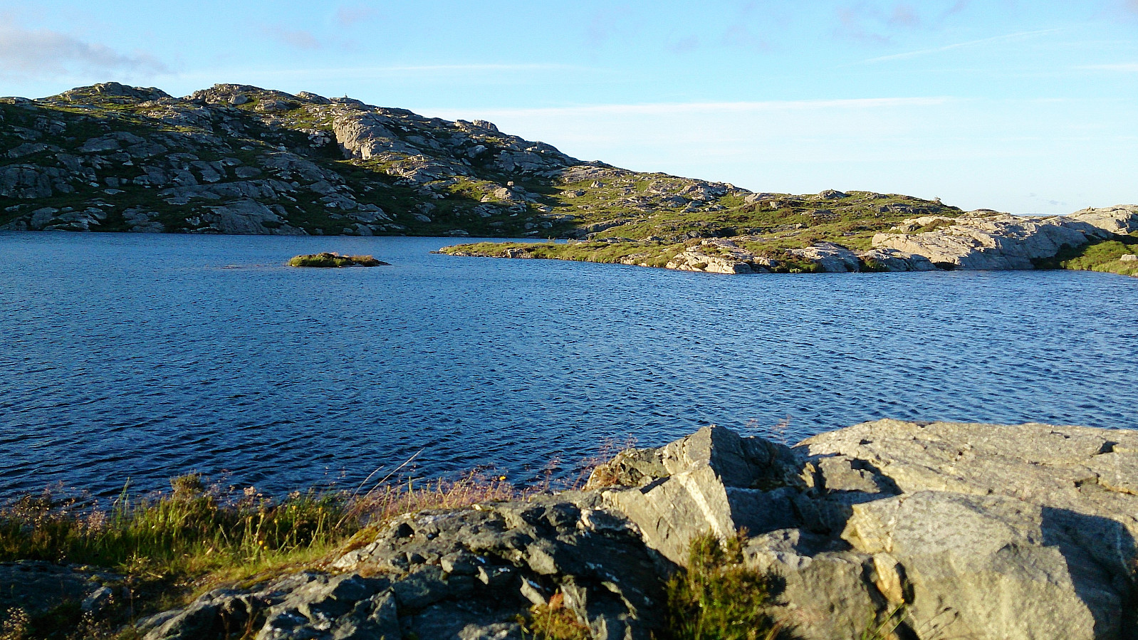
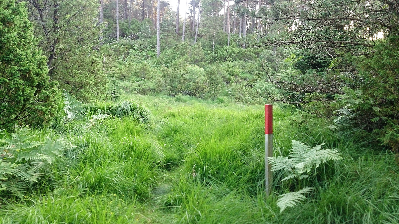
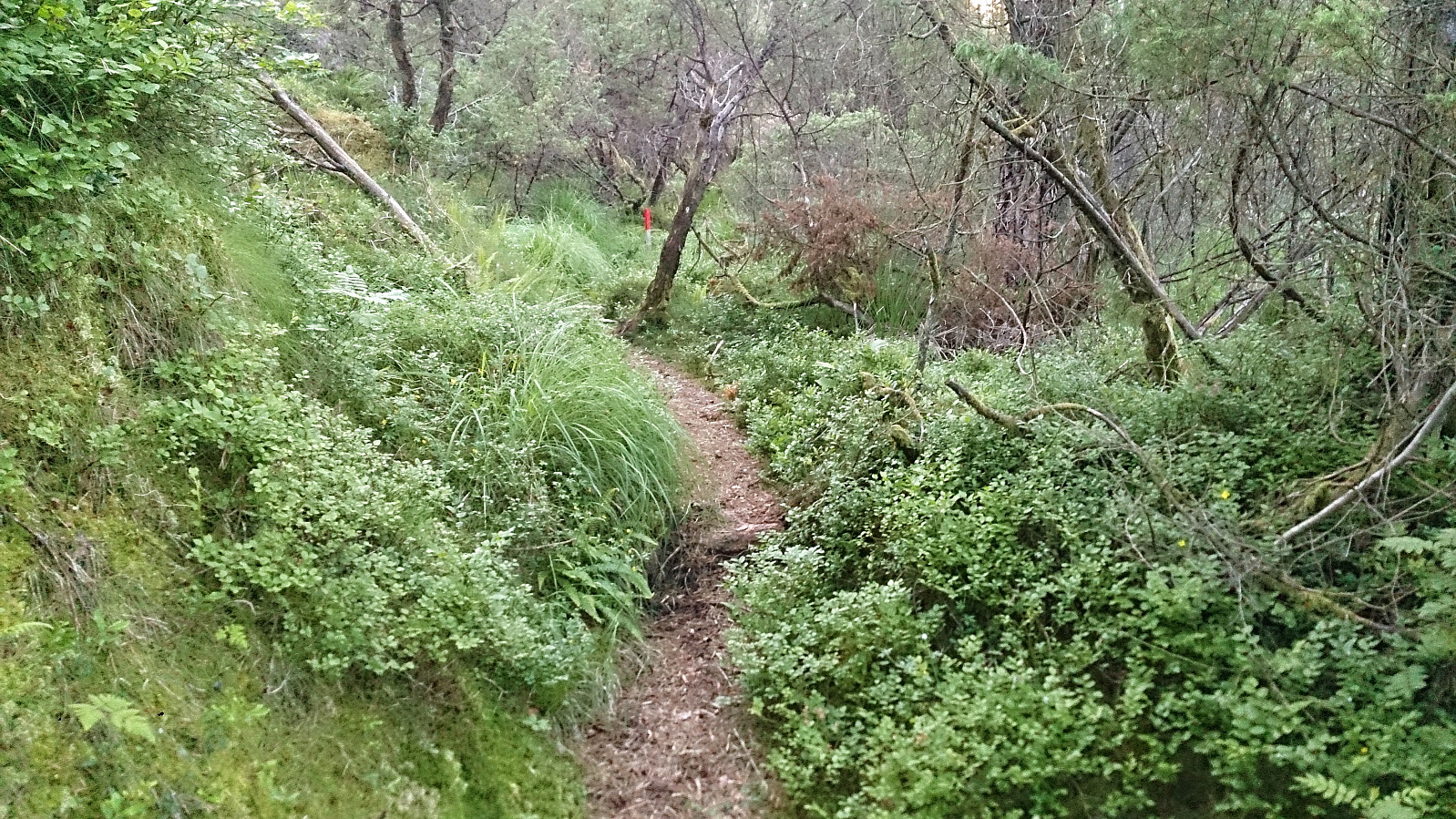
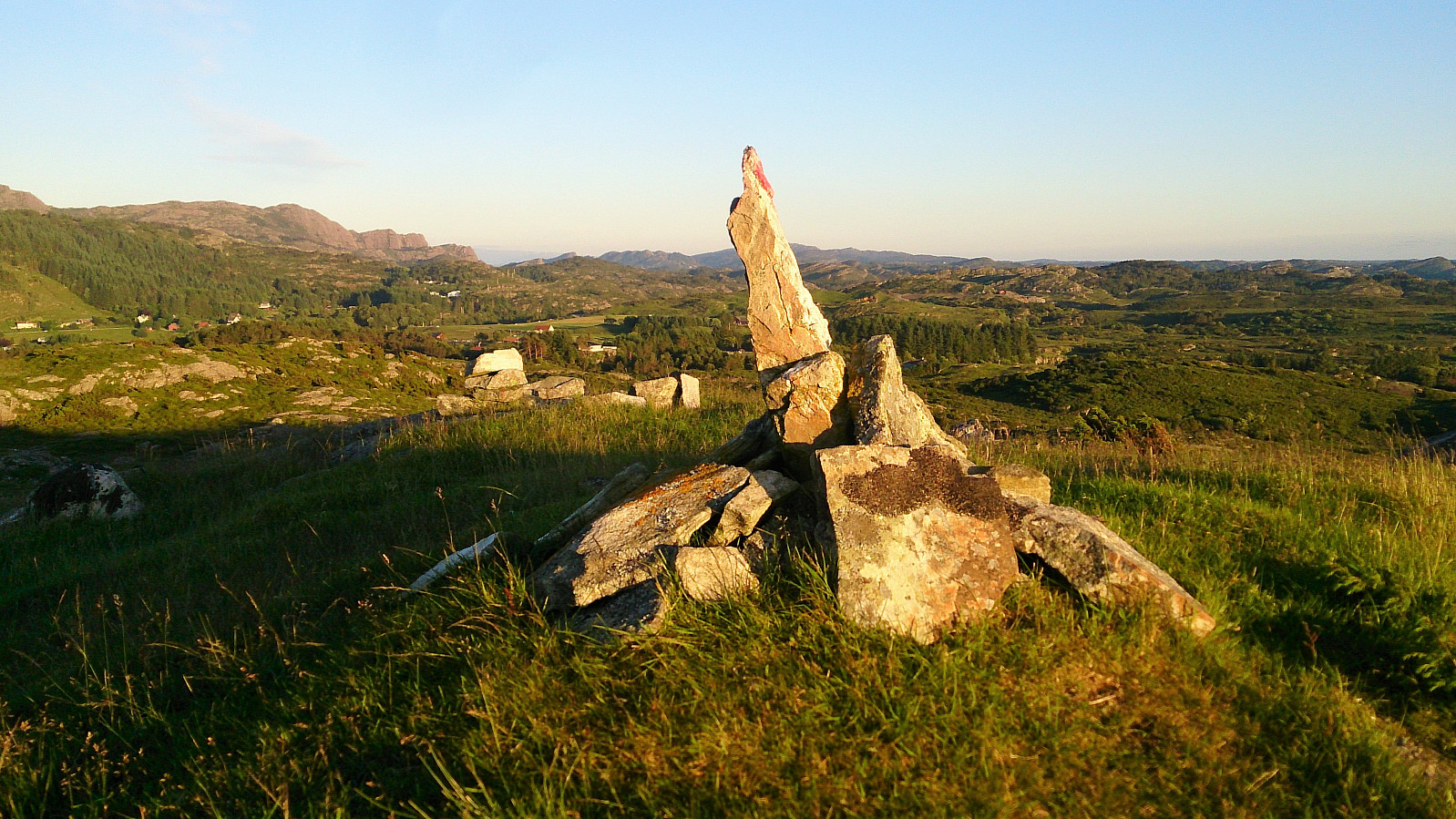
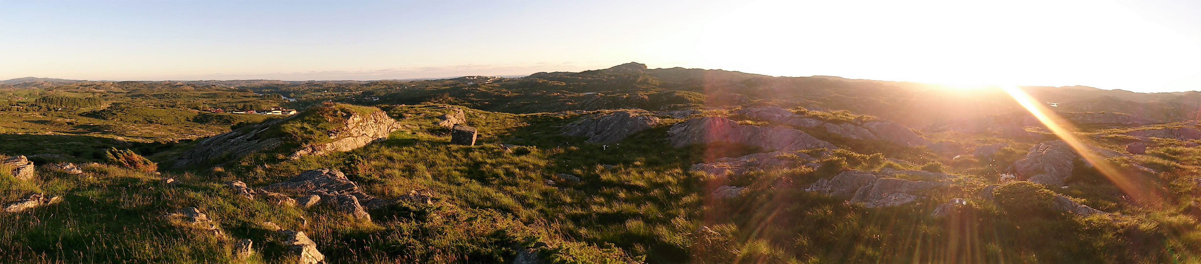
Started by taking the bus to Møvik (bus stop called Halsvarden) and walking up Signalvegen to Signalsvatnet, along a paved road and then a gravel road. Upon reaching the small lake, I continued on the west side of the lake, using the stairs at the end of the dam to start the ascent to the western summit at Signalen. There was a trail, but it was not always easy to follow, and sometimes there were also multiple trails in the same general direction. Reaching the cairn was still straightforward though, and the views were excellent, especially towards the west.
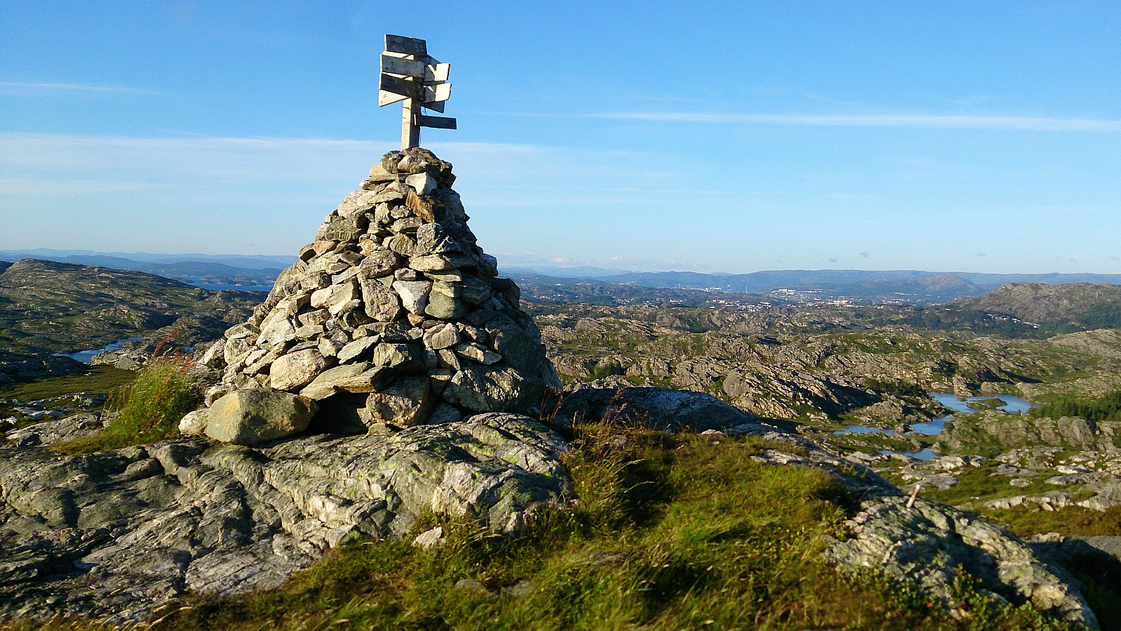
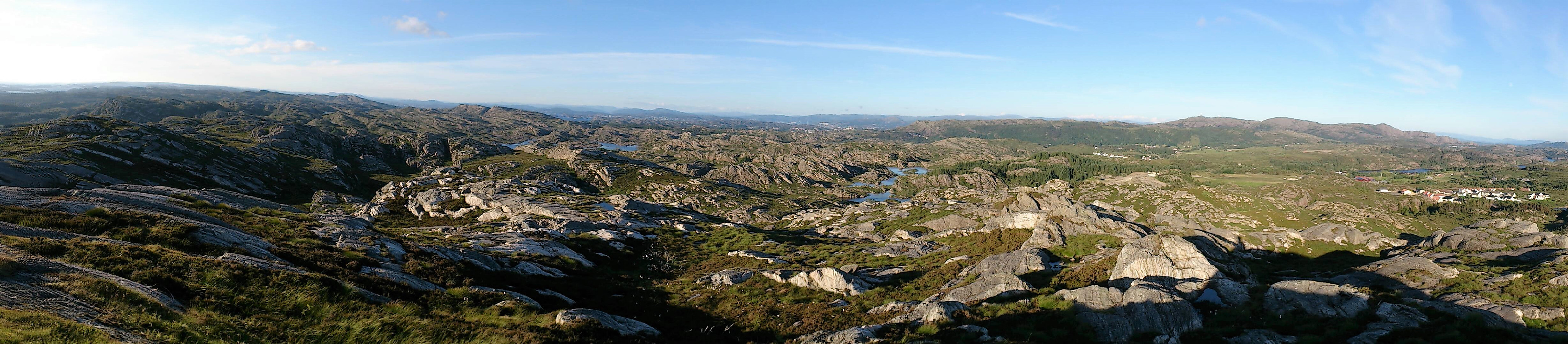
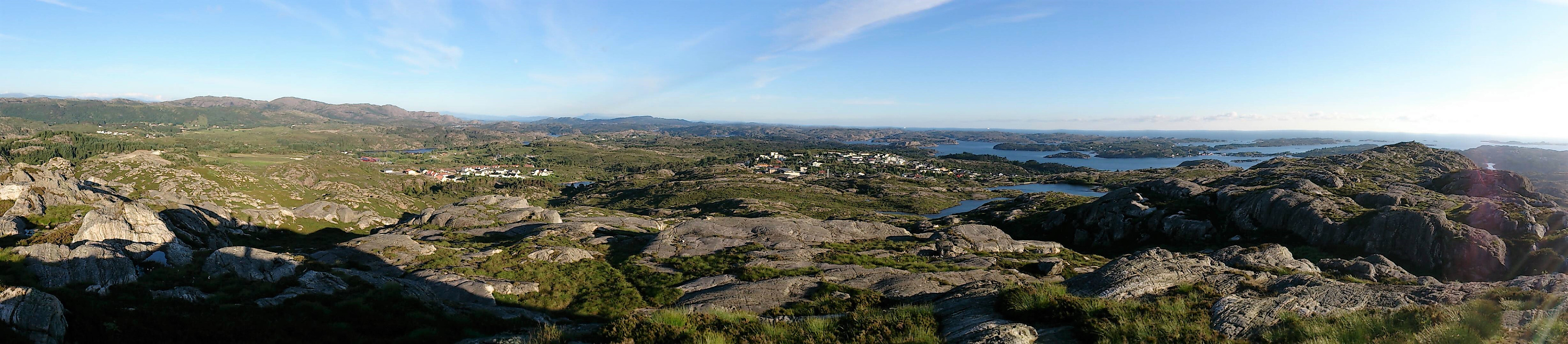
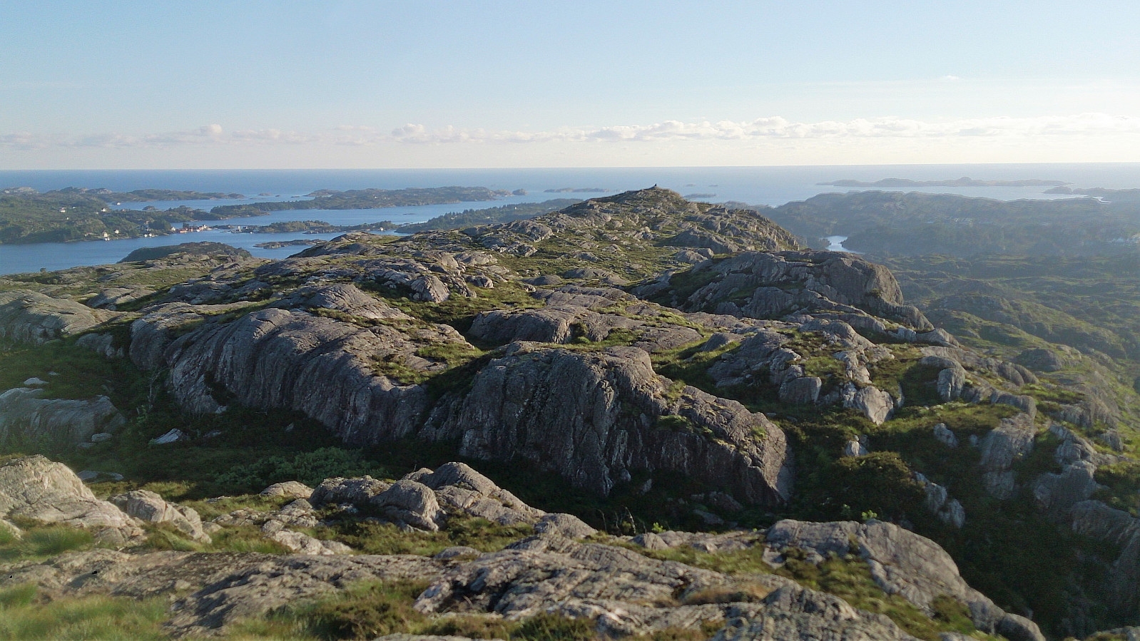
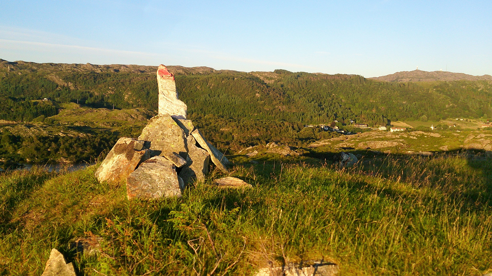
Next, I continued east, along slightly easier to follow trails, towards the highest point at Signalen, which also had its own cairn. Spectacular views in all directions here as well, especially in the very nice weather I was lucky enough to have on this particular visit. From the summit, I followed the trail south, reconnecting with the gravel road, and completing my trip around Signalsvatnet, before finally arriving back at Møvikvegen.
Gardafjellet
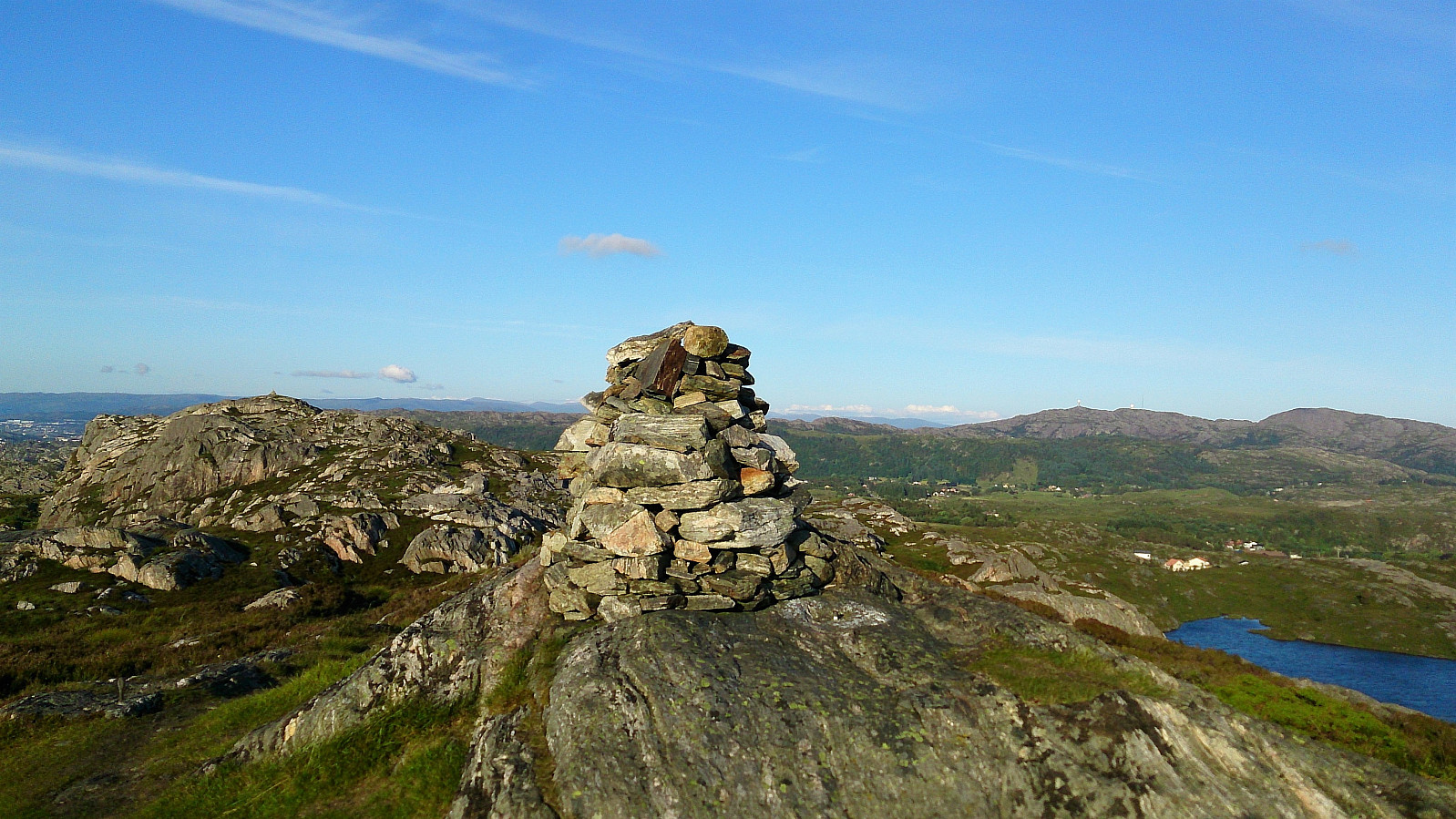
My next goal was Gardafjellet, I started by walking west alongside Møvikvegen towards Fjell. Before reaching Fjell, I turned left (north) via a shortcut through the graveyard, before locating the tractor road indicated on the map, which I then followed in the direction of Gardafjellet. The tractor road soon turned into a marked trail that could be followed all the way to the summit.
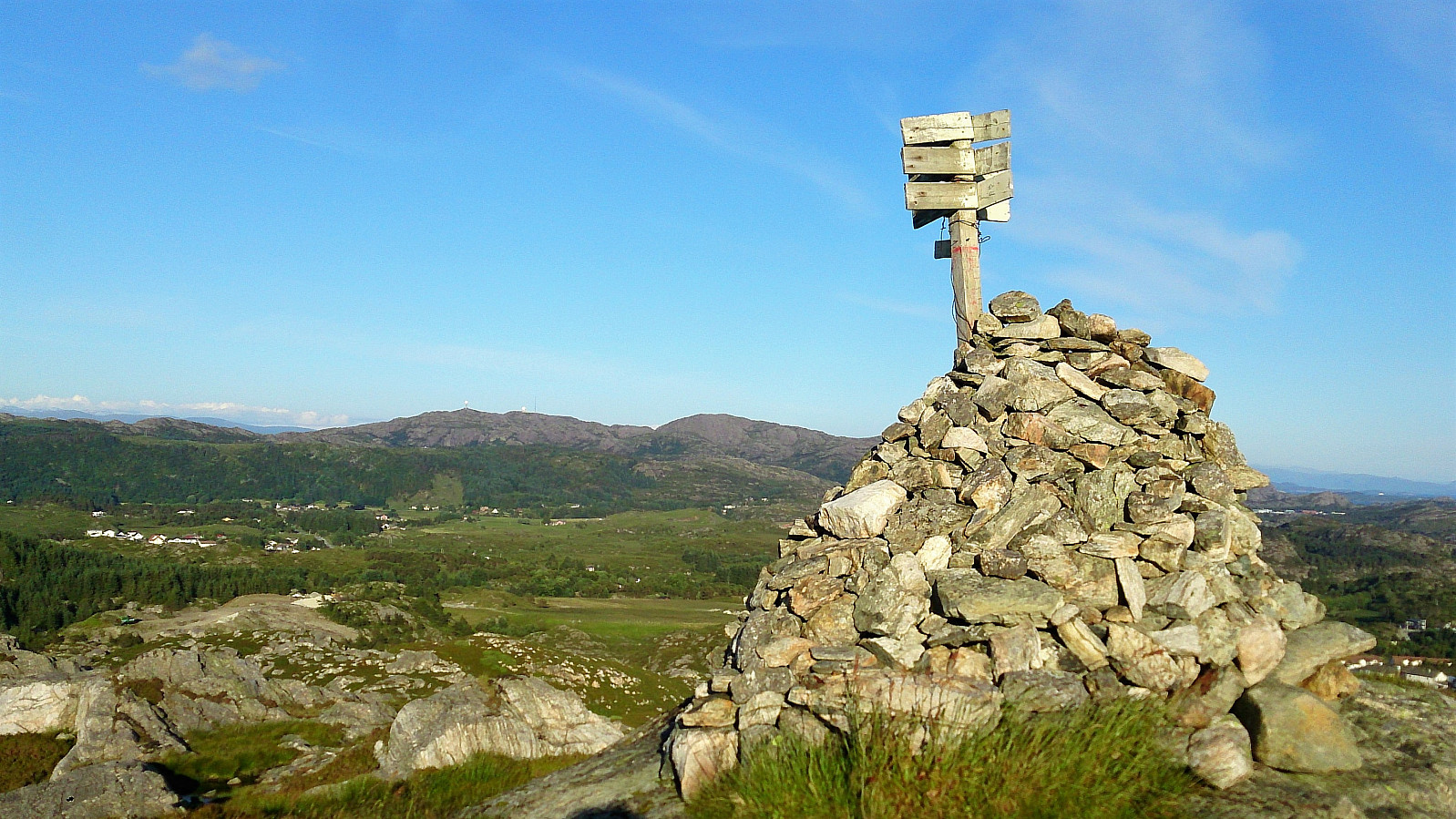
There were however several very wet areas that had to be traversed along the way. And despite the markings, it was quite easy to lose track of the trail. Finding it again was never very difficult though. The summit itself was marked with a cairn and provided nice views in all directions.
From the summit I followed the same route back to the graveyard, before continuing along the main road to Fjell. The plan was to end the hike there, but as I was 25 minutes earlier than planned, I ended up walking north to Bildøybakken for the bus back to Bergen.
Conclusion
A visit to Signalen can be very highly recommended! Probably some of the best views you can get in the greater Bergen area by only walking for 15-20 minutes. Just make sure to choose a day with nice weather, and ideally not too strong winds. Gardafjellet was also quite nice in terms of the views provided, and easier to get to than expected, except for the very wet areas at the start, but not really a "must visit" in the same way as Signalen.

| Start date | 05.07.2017 20:07 (UTC+01:00 DST) |
| End date | 05.07.2017 22:42 (UTC+01:00 DST) |
| Total Time | 2h 35min |
| Moving Time | 2h 26min |
| Stopped Time | 0h 9min |
| Overall Average | 4.0km/h |
| Moving Average | 4.3km/h |
| Distance | 10.5km |
| Vertical meters | 340m |


User comments