
Dronninga on Askøy (20.05.2017)

Written by HHauser (Helwig Hauser)

| Start point | Haugland (50m) |
|---|---|
| Endpoint | Haugland (50m) |
| Characteristic | Hillwalk |
| Duration | 2h 00min |
| Distance | 7.6km |
| Vertical meters | 248m |
| GPS |
|
| Ascents | Dronninga (190m) | 20.05.2017 |
|---|
Trip Summary
We took the car from Bergen to Askøy and continued northwards on road #562 in the direction of Ravnanger. At Haugland, right after crossing over Loneelvi and then passing under a small bridge, we left the main road to Hauglandsmyra, where we parked at once.
Dronninga
In order to get to Dronninga, we walked first along Hauglandsmyra (the one part of it, which first leads northwards, between houses on the left and some meadow on the right). This brought us to Rispeleitet, which eventually leads in eastern direction (then really towards Dronninga). At the very end of Rispeleitet (at Kolbeinsmyra) the paved road becomes a stone road (maybe not for regular cars), which we followed all to the end (repeatedly one also finds signs, leading the way towards Dronninga). Very close to the "top" of Dronninga, the stone road becomes a hiking path, which is quick and easy to follow to the "top". On Dronninga, you can visit several vantage points, both in the north of the "top" and in the south (offering views, which the "top" does not).
Back via Fjellvatnet
From the "top" of Dronninga, we decided to cross over the long ridge, walking in southern direction (over Storåsen and crossing Åstjørna), before then (where it actually becomes steeper) following a path downwards (first towards southeast, then eastwards). This lead us down to Fjellvassbotnen and to a gravel road, which leads further southwards from there. While continuing further, we made two detours to Fjellvatnet and enjoyed some nice views. We then surrounded Terleiken (for a moment, we considered to climb it, but it seemed a little too challenging from this side, this time). We then turned into a more western direction, coming by Krabbetjørna and then Loneelva (which is hold back by a little dam there). Following the gravel road, this path brought us conveniently back to the parked car.
Conclusion
While it is too much to call this a mountain hike (Dronninga is not much of a mountain, actually), the many nice paths and gravel roads around there make the area certainly a popular recreation spot on Askøy---even for those, who aren't all that ambitious in mountaineering. :-)
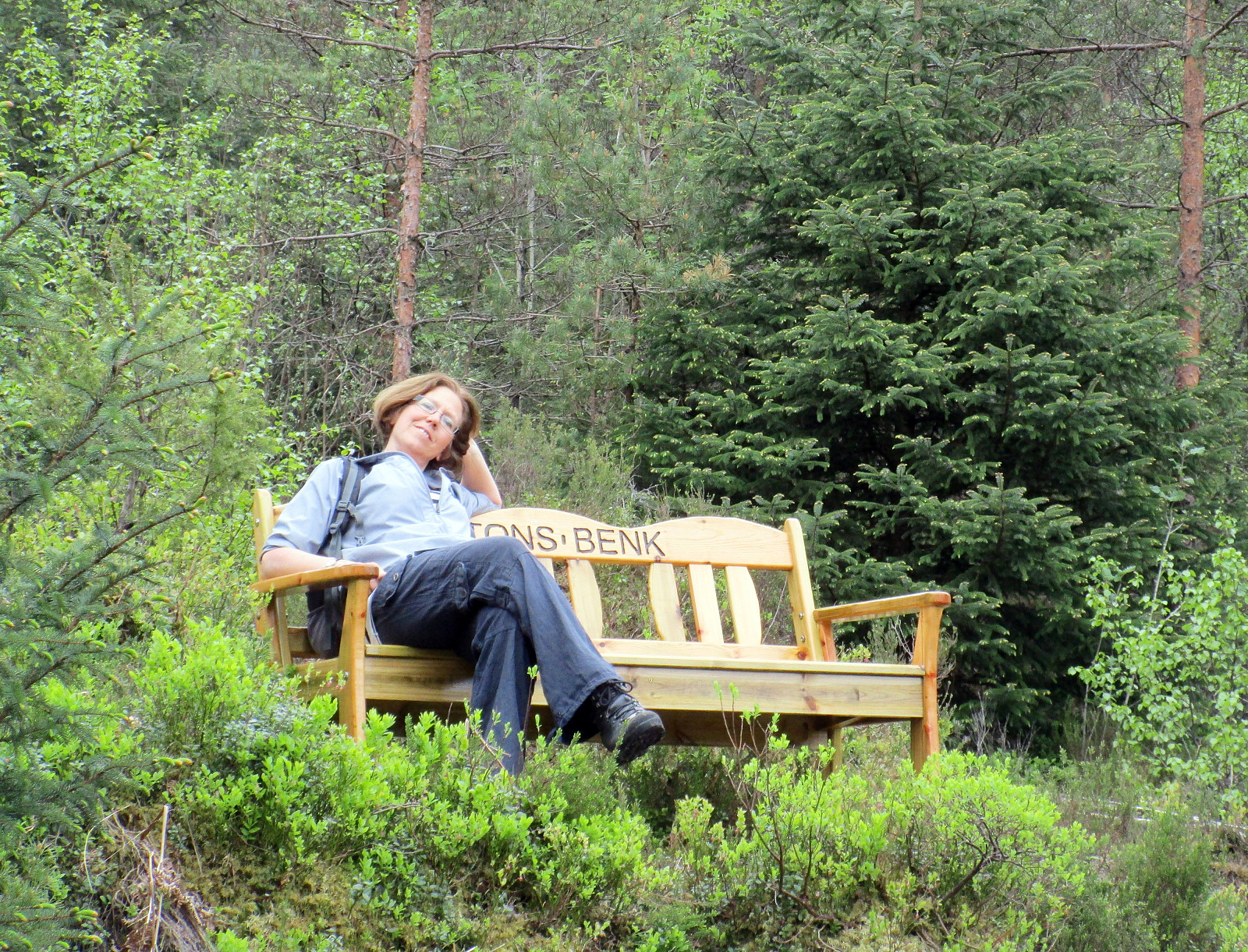
Photos
Selected photos are available as Google photo album.
Useful Resources
See also the related FB-page Hiking around Bergen, Norway.
Petter Bjørstad has a useful page about Storåsen and also web page WestCoastPeaks.com provides useful information about Storåsen, Dronninga.


User comments