
Dyngelandsåsen from Midtunlia (15.05.2017)

Written by hbar (Harald Barsnes)

| Start point | Midtun (58m) |
|---|---|
| Endpoint | Nesttun terminal (15m) |
| Characteristic | Hillwalk |
| Duration | 1h 33min |
| Distance | 5.3km |
| Vertical meters | 207m |
| GPS |
|
| Ascents | Dyngelandsåsen (196m) | 15.05.2017 |
|---|---|---|
| Visits of other PBEs | Tårnnebben (168m) | 15.05.2017 |
Dyngelandsåsen from Midtunlia
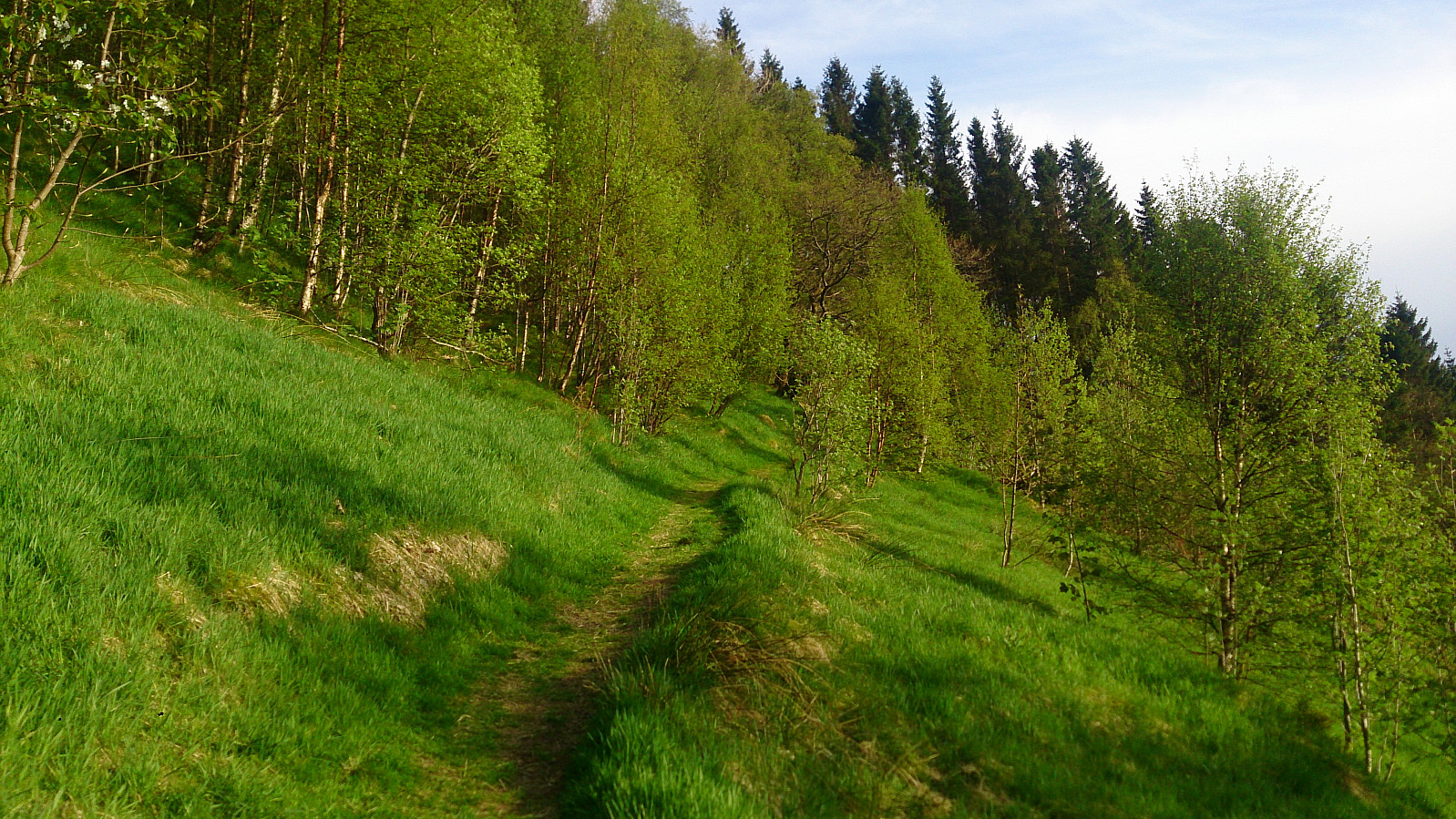
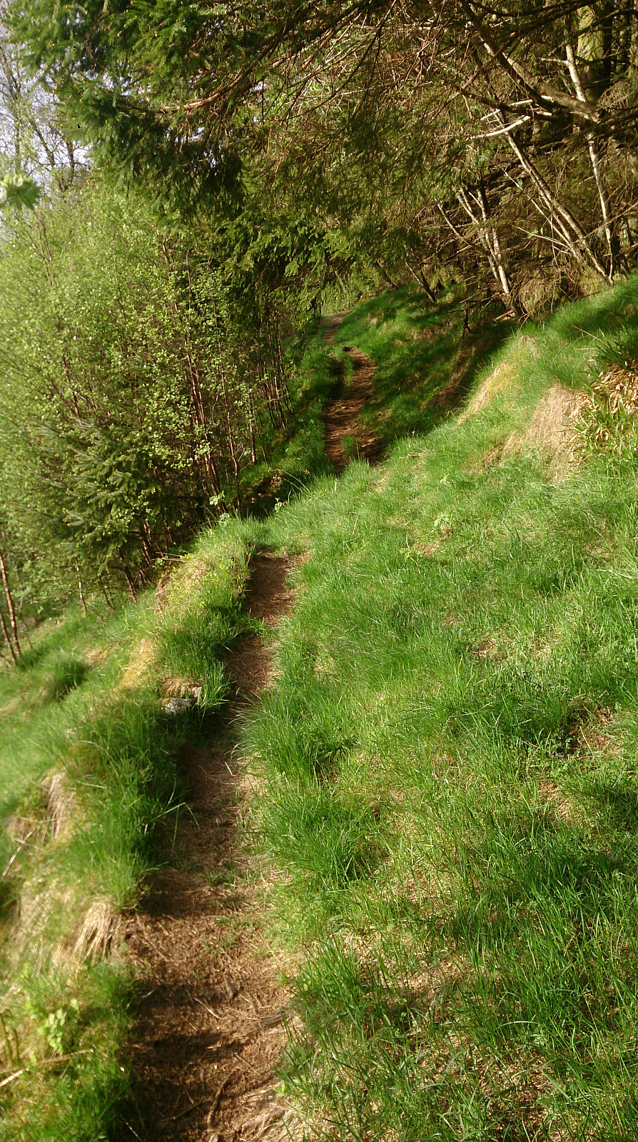

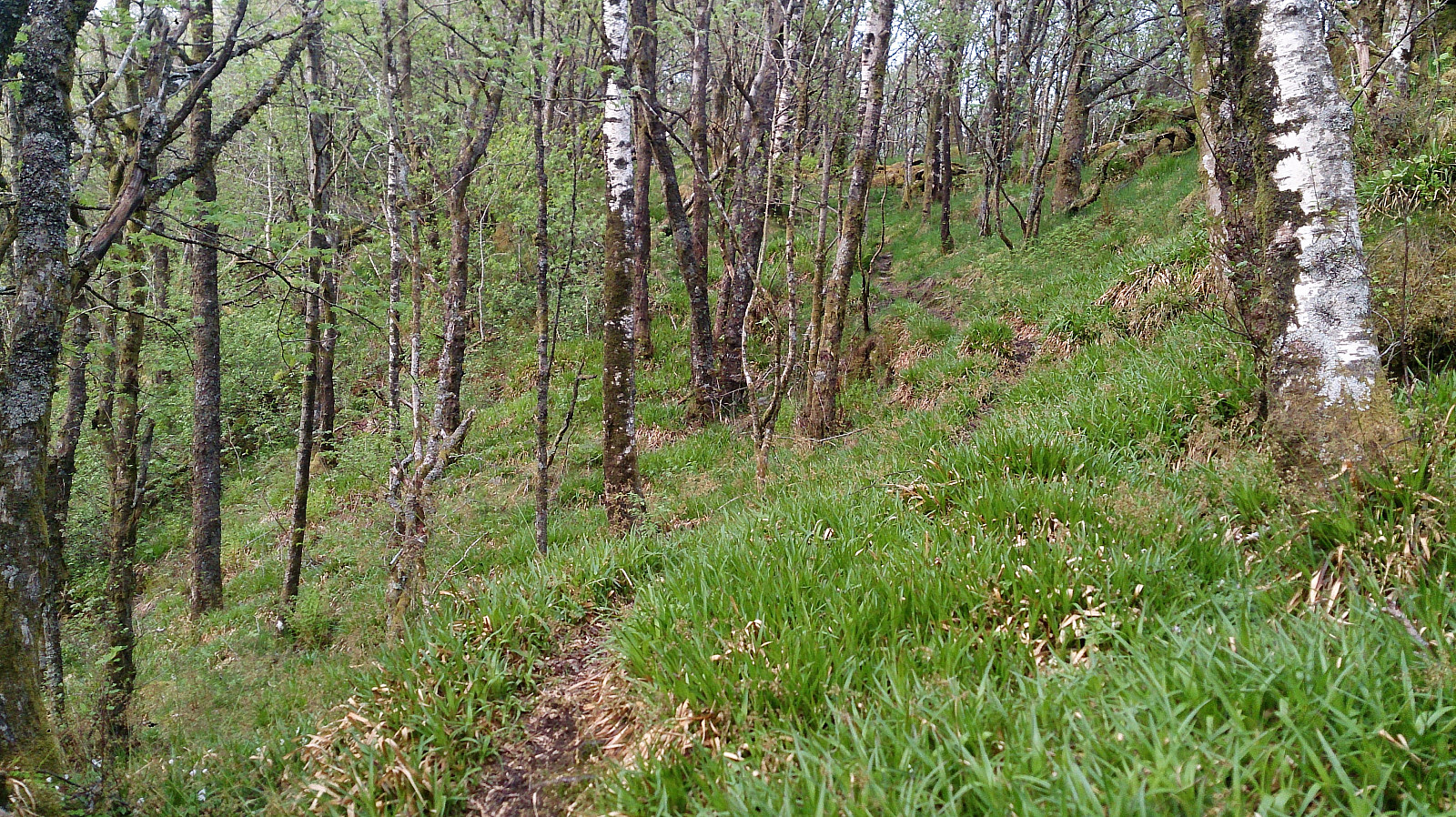
Started by taking the bus to Midtun and walking up to Midtunlia for the start of the hike. The start of the trail was not marked as far as I could see, but easy to locate in between Midtunlia 25C and 27A. The trail itself was a very positive surprise (see pictures) and made it straightforward to reach the summit of Dyngelandsåsen.
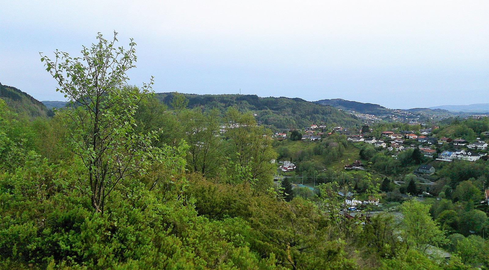
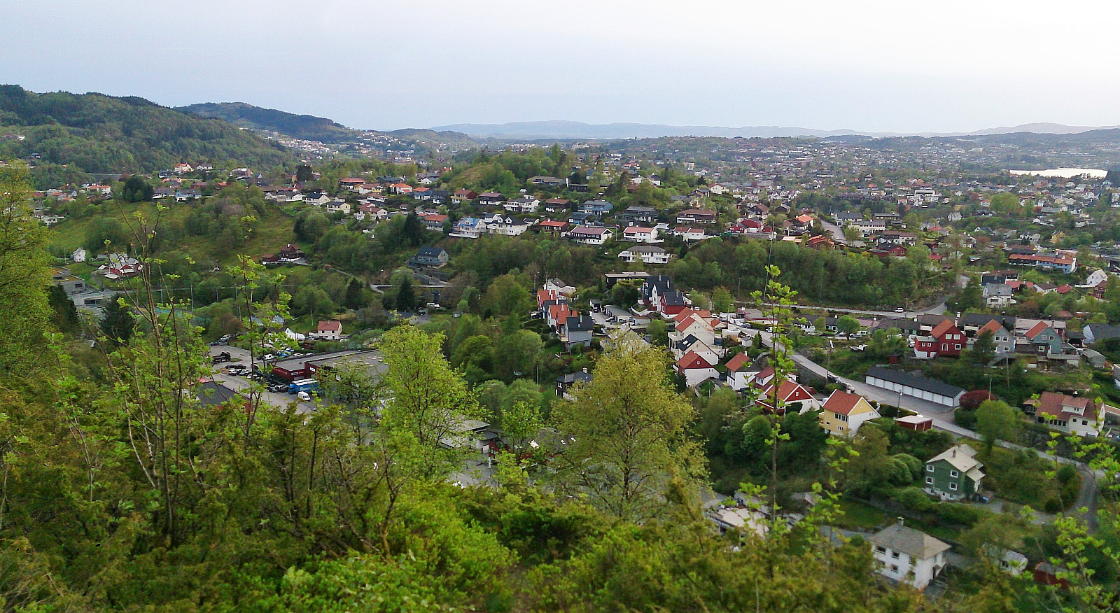
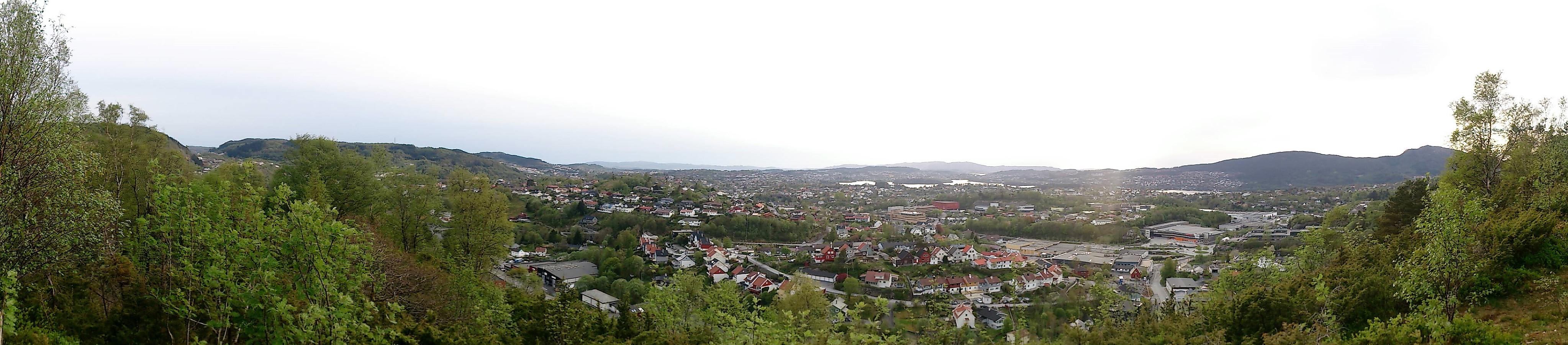
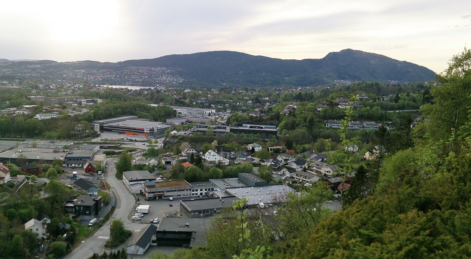
The summit itself had limited views, although several familiar mountains could be spotted in between the trees. I therefore quickly continued towards the lookout point called Tårnnebben, once again along nice trails that were easy to follow. Tårnnebben provided much better views, mainly towards the west, and was definitely worth a visit. I continued south along the trail, which quickly turned west, taking me down to Ulsmåvegen and finally back to the starting point of the hike.
The plan had been to take bus back to the city from this location, but given that it was 20 minutes until the next bus, I decided to rather walk back to Nesttun and instead take Bybanen back to the city center. (Skipping this last part makes the hike around 2 km and 25 min shorter.)
All in all, Dyngelandsåsen, with its nice trails, ended up being a positive surprise, and can be highly recommended as a short afternoon hike, especially if including a stop at Tårnnebben.
| Start date | 15.05.2017 19:34 (UTC+01:00 DST) |
| End date | 15.05.2017 21:07 (UTC+01:00 DST) |
| Total Time | 1h 33min |
| Moving Time | 1h 22min |
| Stopped Time | 0h 10min |
| Overall Average | 3.4km/h |
| Moving Average | 3.8km/h |
| Distance | 5.3km |
| Vertical meters | 206m |


User comments