
Smådal to Kirkebirkeland (17.04.2017)

Written by hbar (Harald Barsnes)

| Start point | Kaland skole (55m) |
|---|---|
| Endpoint | Nesttun terminal (16m) |
| Characteristic | Hillwalk |
| Duration | 4h 13min |
| Distance | 12.8km |
| Vertical meters | 596m |
| GPS |
|
| Ascents | Birkelandsfjellet (280m) | 17.04.2017 |
|---|---|---|
| Ljosvollsvarden (301m) | 17.04.2017 | |
| Orrtua i Fana (337m) | 17.04.2017 | |
| Vardafjellet i Fana (339m) | 17.04.2017 |
Smådal to Kirkebirkeland
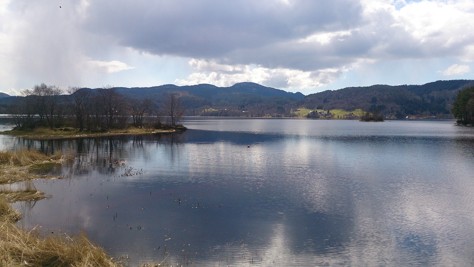
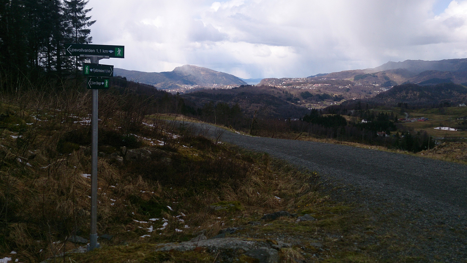
Last day of the 2017 Easter holidays and time for a new hike in the area around Kalandsvatnet. Started by taking the bus to Kaland skole and from there walking along E39 in the direction of Os. After walking for a couple of minutes and not finding the signs towards Orrtua and/or Vardafjellet, which I thought I'd seen when passing the area by car a couple of weeks earlier, I checked the GPS and discovered that I had already passed the planned start of the hike: Smådal. I therefore doubled back and quickly found the missed exit. There were no proper signs (at least none that I could see), but there was a map. One has to cross the road to see it though, so this could be clearer. But if keeping an eye on the GPS, the start of the trail should be easy to locate.
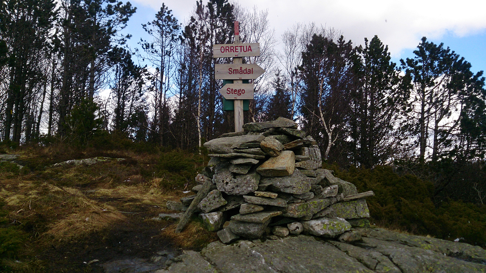
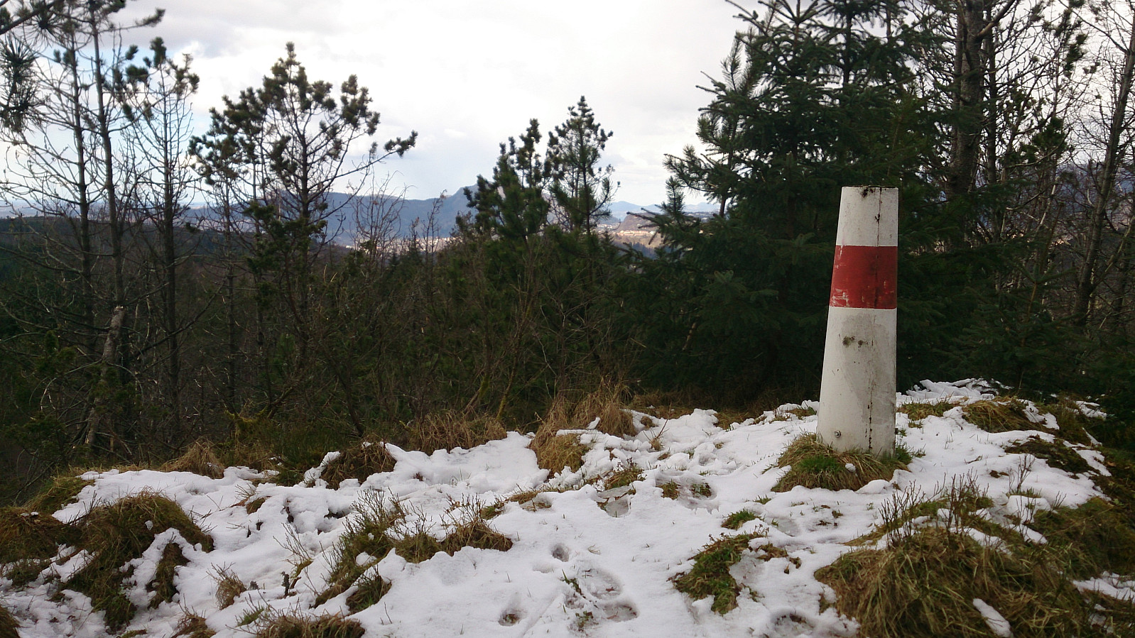
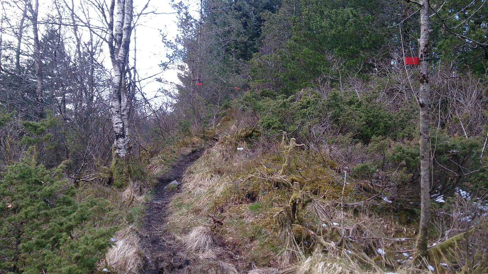
I then followed a well-marked trail (indicated with yellow markers in the trees) all the way to the summit of Orrtua, with a minor detour to the 328 m hill immediately to the southeast of the summit (which actually had nicer views than from the summit). The last part towards the summit consisted of a gravel road, with only the very last section going back to a trail. (The same gravel road crisscrosses the whole area, and I would later come back to other sections of the same road.)
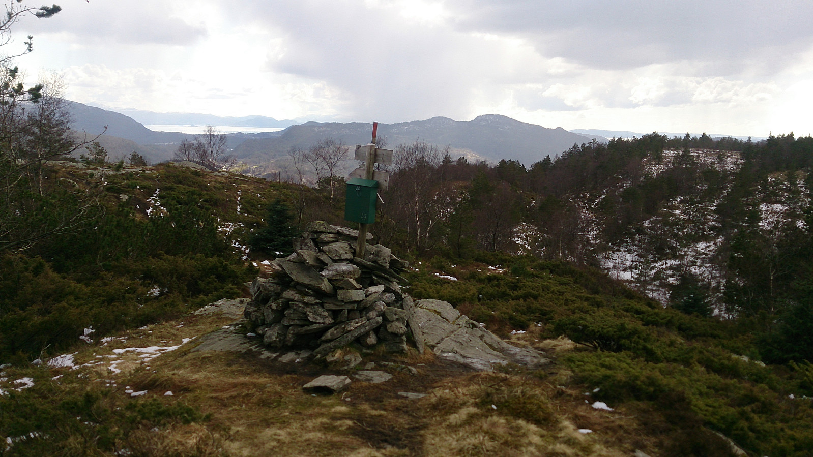
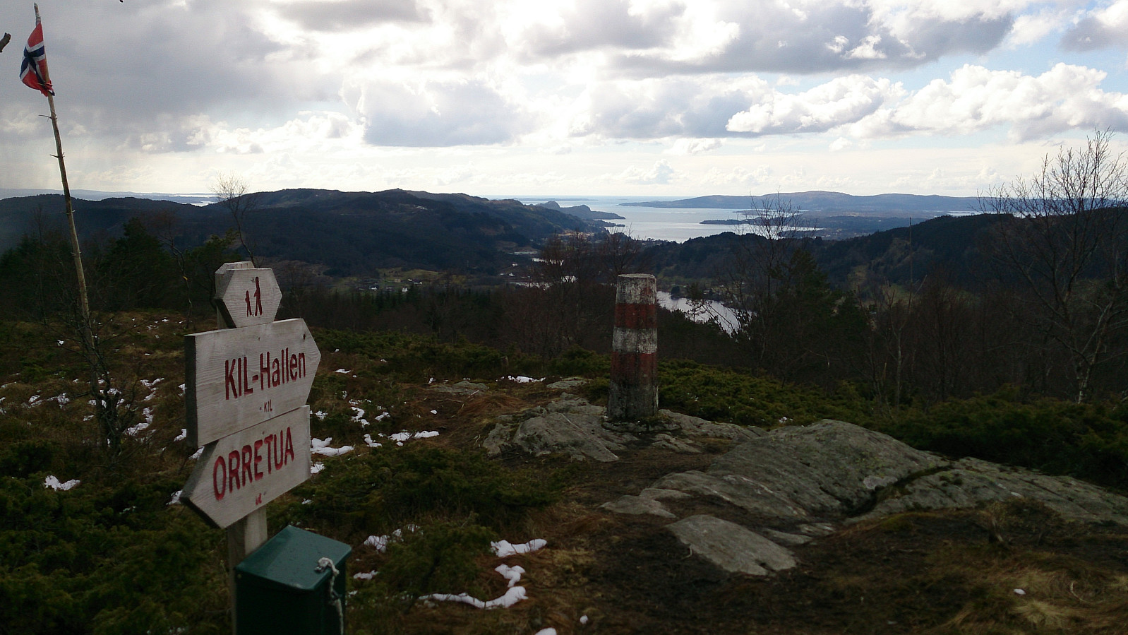
The easiest way to get from Orrtua to Vardafjellet seemed to be to continue following the trail crossing Orrtua in the northern direction, and then keep following this trail when it turned to the southwest. I did just this, and quickly arrived at Vardafjellet, although this part of the hike was particularly muddy. However, the views from Vardafjellet were much nicer than from Orrtua and definitely worth the extra mud.
My plan was now to somehow get to Ljosvollsvarden, and according to the map this should be straightforward. From the trig marker at Vardafjellet I made a U-turn and walked back 100 meters or so before locating a trail in the southeastern direction, which I then followed down to a different part of the gravel road I had left earlier to get to Orrtua. Next, I followed this road first south and then north to get to the start of the marked trail to Ljosvollsvarden (see GPS track for details).
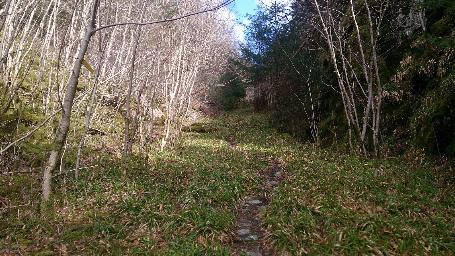
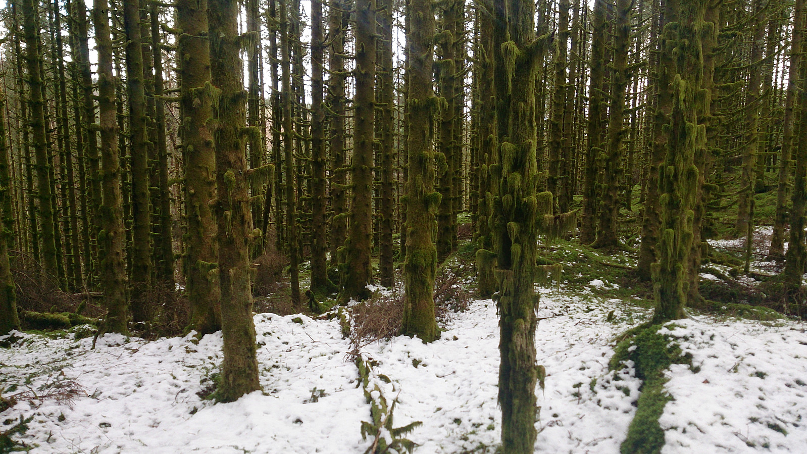
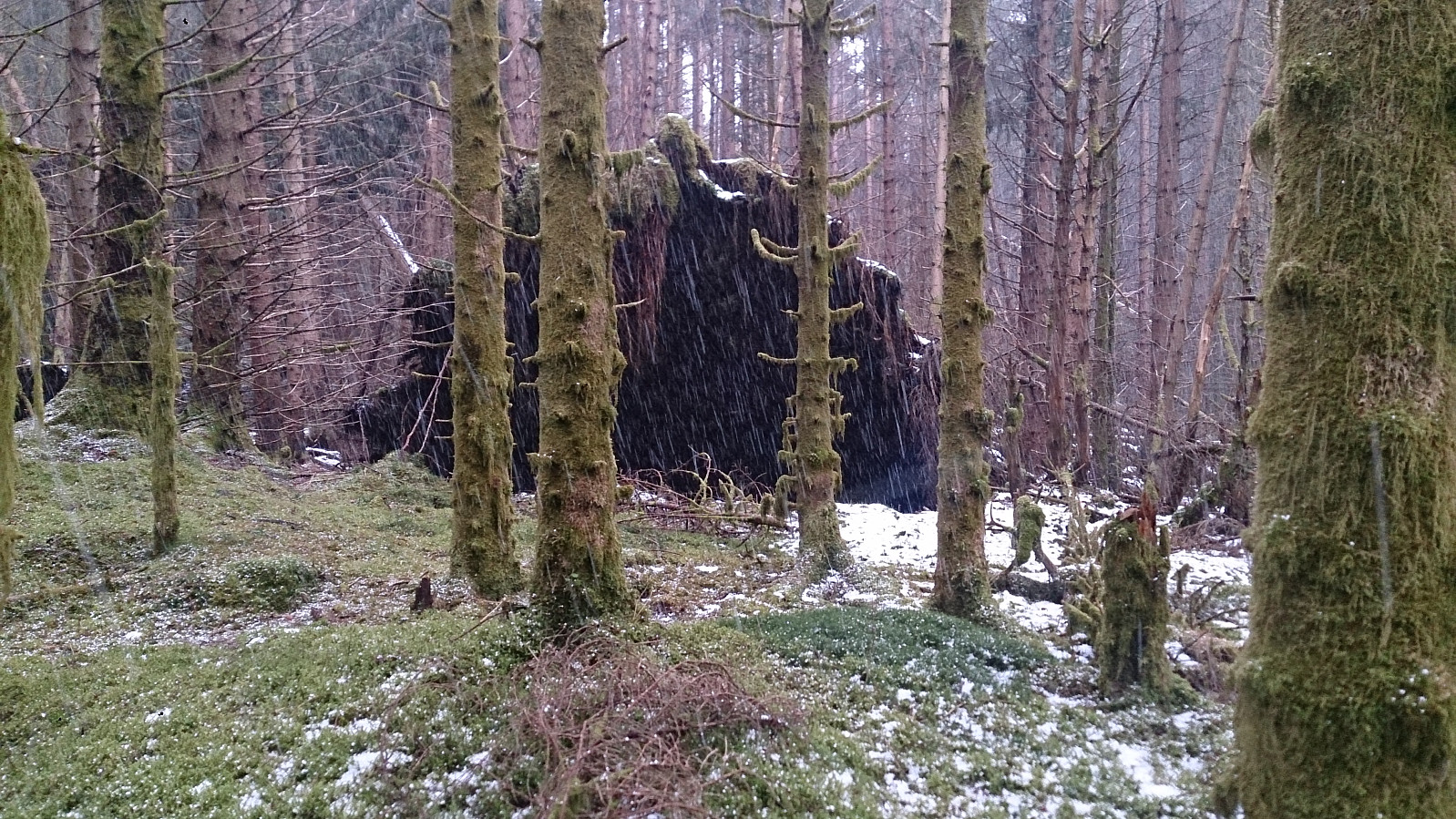
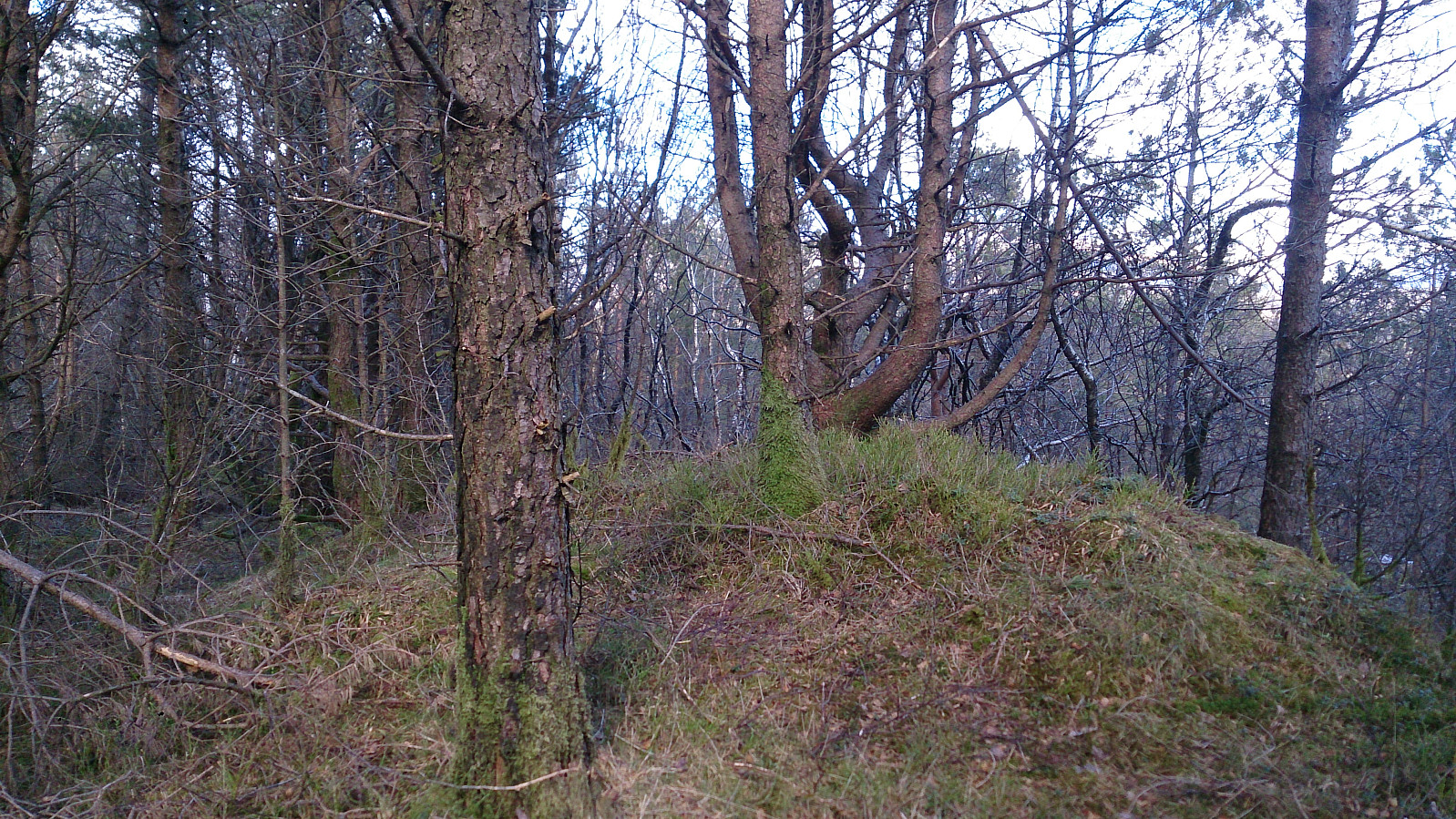
After reading about the poor views from Ljosvollsvarden, and that the summit was in the middle of a lot of trees, my expectations were not high when leaving the gravel road and entering the marked trail through the dense forest. However, this turned out to be the highlight of the hike. The dense green forest looked like something out of a fantasy story, especially when the hail showers started coming down and the ground was painted white. One tip important though: stay on the marked trail, as finding your way in this dense forest can be tricky. I had to leave the trail at one point to bypass some fallen trees, and even with the help of my GPS it was a struggle to relocate the trail and the correct direction.
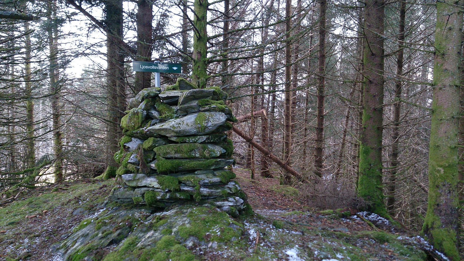
When getting close to the summit I finally made it out of the dense forest, but the actual summit of Ljosvollsvarden was again covered by trees, some of them fallen down Hence getting to the cairn itself was not straightforward (or at least not with the route I chose). And, as expected, very limited views.
From Ljosvollsvarden I followed the trail northwest towards Valla. Now following red markers, instead of the yellow ones I'd followed all day. The plan was to end the hike by descending to Valle, but I noticed a weaker trail heading in the direction of Birkelandsfjellet and decided to extend the hike slightly. I could easily follow the trail to the summit of Birkelandsfjellet, which was really nothing more than a couple of trees with no view.
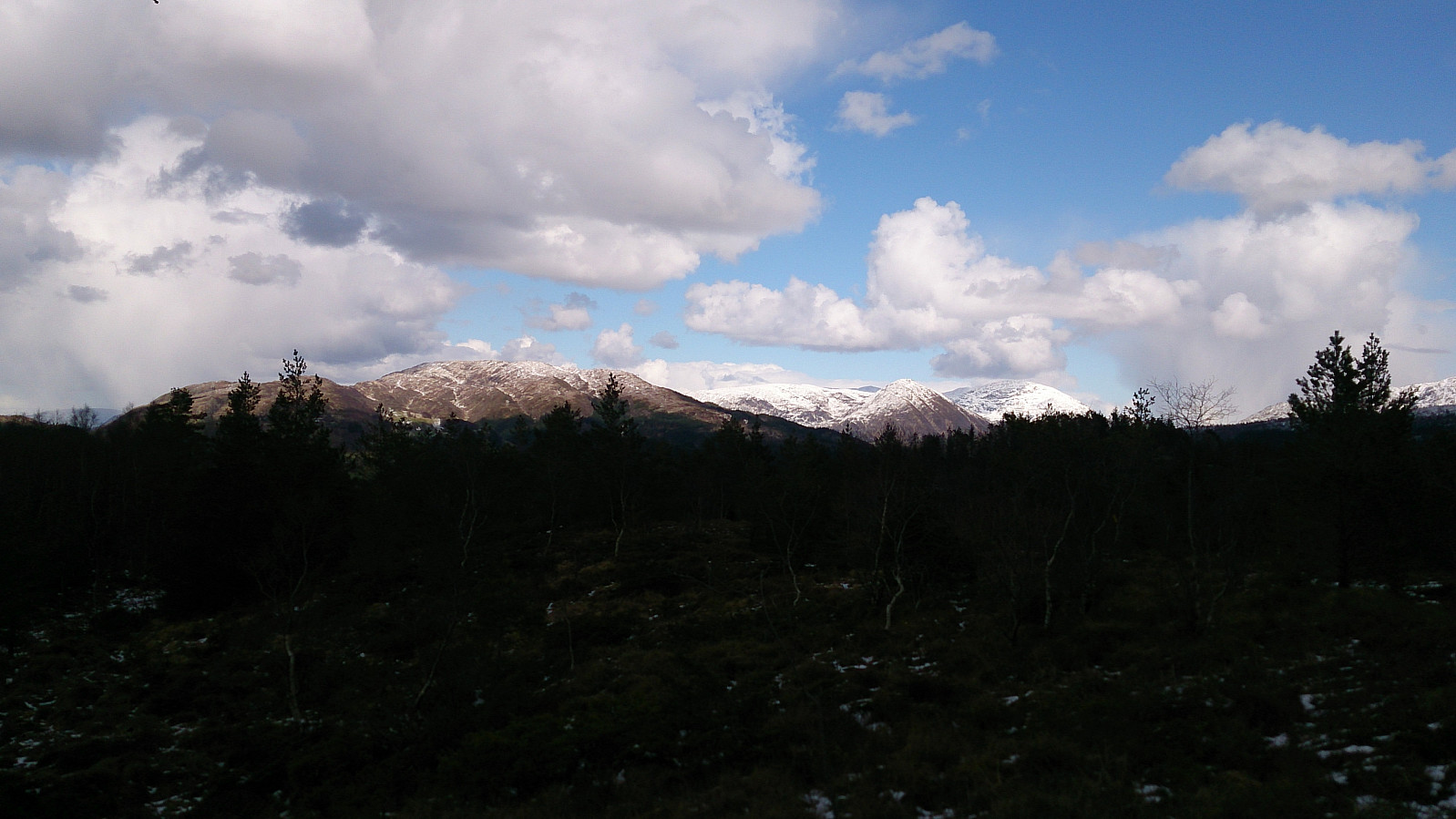
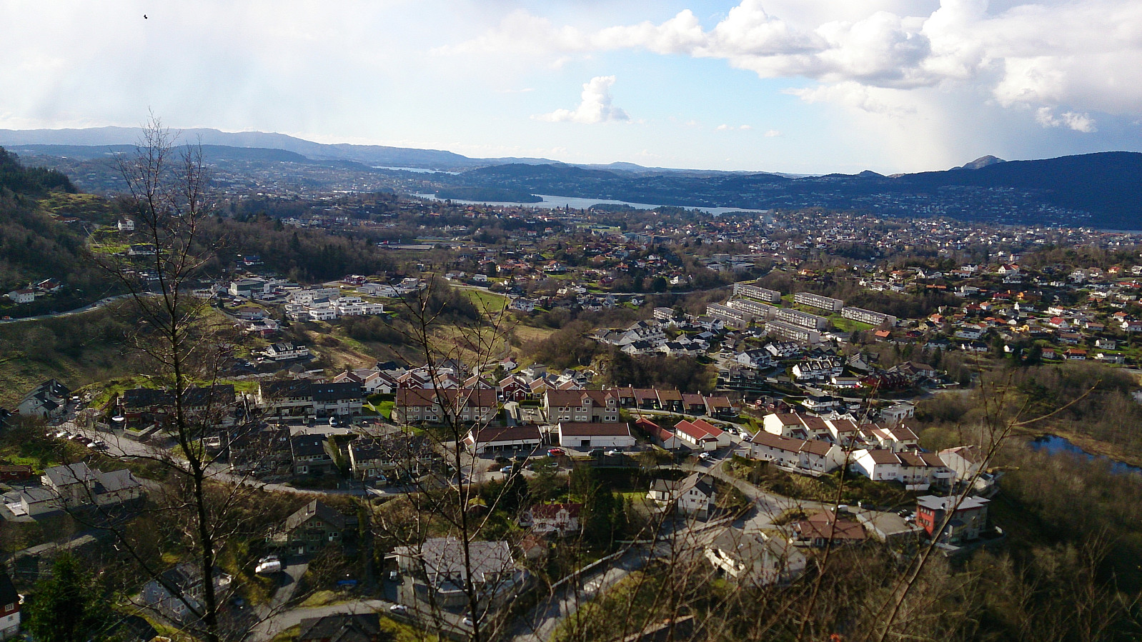
After the highest point at Birkelandsfjellet the trail got a lot weaker, and I ended up walking off-trail to locate the trail indicated on the map that would take me down to Kirkebirkeland. After some time, and via the support of the GPS, I finally located the trail and could now easily follow it down to Kirkebirkeland, with some nice views along the way.
The plan was to take the bus from Kirkebirkeland, but given that it was half an hour until the next bus when I got there, I decided to rather walk to Nesttun and take the bus/tram from there. The hike can thus be shortened with 2-3 km if this part is skipped.
Overall, an excellent with some unexpected positive surprises along the way!
| Start date | 17.04.2017 13:20 (UTC+01:00 DST) |
| End date | 17.04.2017 17:34 (UTC+01:00 DST) |
| Total Time | 4h 13min |
| Moving Time | 4h 00min |
| Stopped Time | 0h 13min |
| Overall Average | 3.0km/h |
| Moving Average | 3.2km/h |
| Distance | 12.8km |
| Vertical meters | 596m |


User comments