Archive - Date
Archive - Activity
-
Climbing (2)
- Alpine climbing (2)
-
Other trip (4)
- Kayaking (3)
- Ski trip (7)
-
Trip by foot (26)
- Alpine trip (8)
- Hike (3)
- Hillwalk (8)
- Jogging (7)


Kirkjufell
- Data:
- 16.08.2018
- Rodzaj aktywności:
- Hillwalk
- Czas trwania:
- 2:57h
- Dystans:
- 5.7km
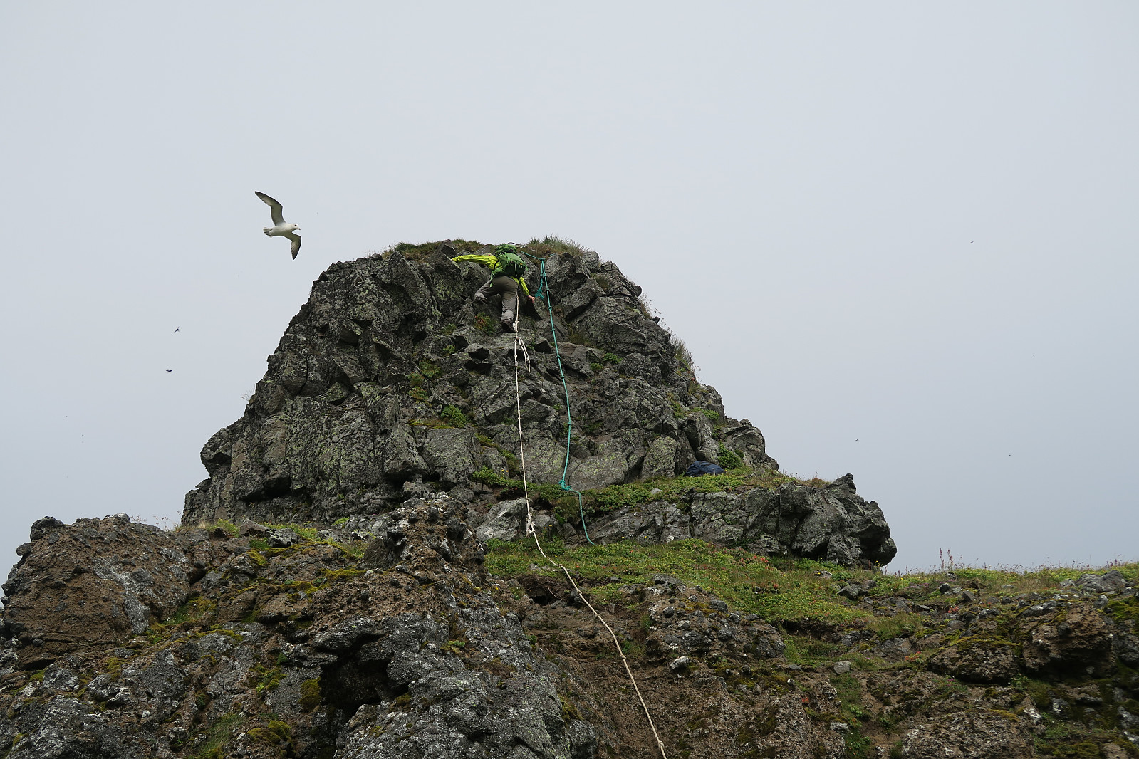 Having travelled along the Ring road for some days, climbing Kirkjufell (m a.s.l) seemed to be a natural thing to do before heading further around the Snæfellsnes peninsula. A good warm-up was to take a better meal at at the excellent Bjargarsteinn Mathús with a good view towards the mountain) the evening before – and to camp at the campground in Grundarfjörður (also with a view).
Kikjufell is for many known as the Arrowhead Mountian in the Game of Thrones series (season 6 and 7).
We parked at the parking for Kirkjufellsfoss since the more natural choice at Háls was marked with a "no parking" sign. From there we hiked about 100 m along Snæfellsvegur (54) up to Háls, and continued on the left side of a fenced pasture.
Some writers claim that the route to up Kirkjufell is a bit difficult to find and that one easily >>>

Námafjall
- Data:
- 14.08.2018
- Rodzaj aktywności:
- Hike
- Czas trwania:
- 0:43h
- Dystans:
- 2.8km
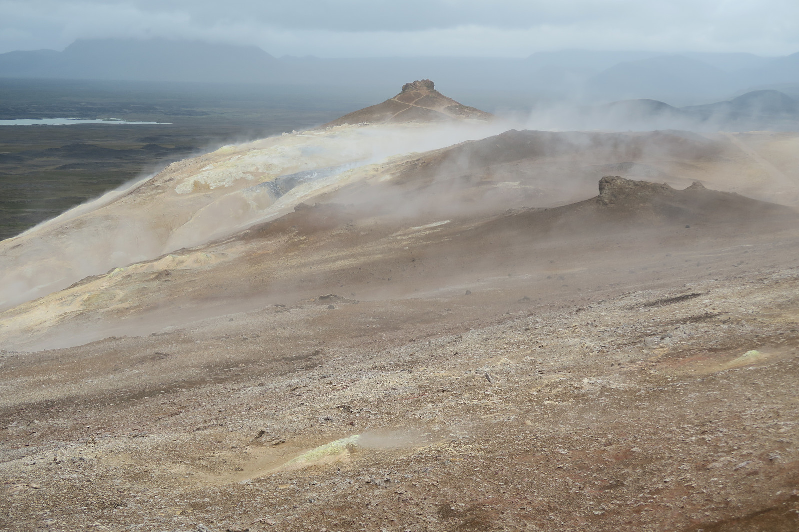 Short hike to Námafjall between the Myvatn nature baths and Hverir geothermal area. We started from Ring Road 1 in the Namaskard pass. In this area there are many solfataras and boiling mud pot. A very special experience. Like walking or the moon - or something else that is very different from all other known places.
Dyrfjallstindur
- Data:
- 13.08.2018
- Rodzaj aktywności:
- Hillwalk
- Czas trwania:
- 4:54h
- Dystans:
- 10.7km
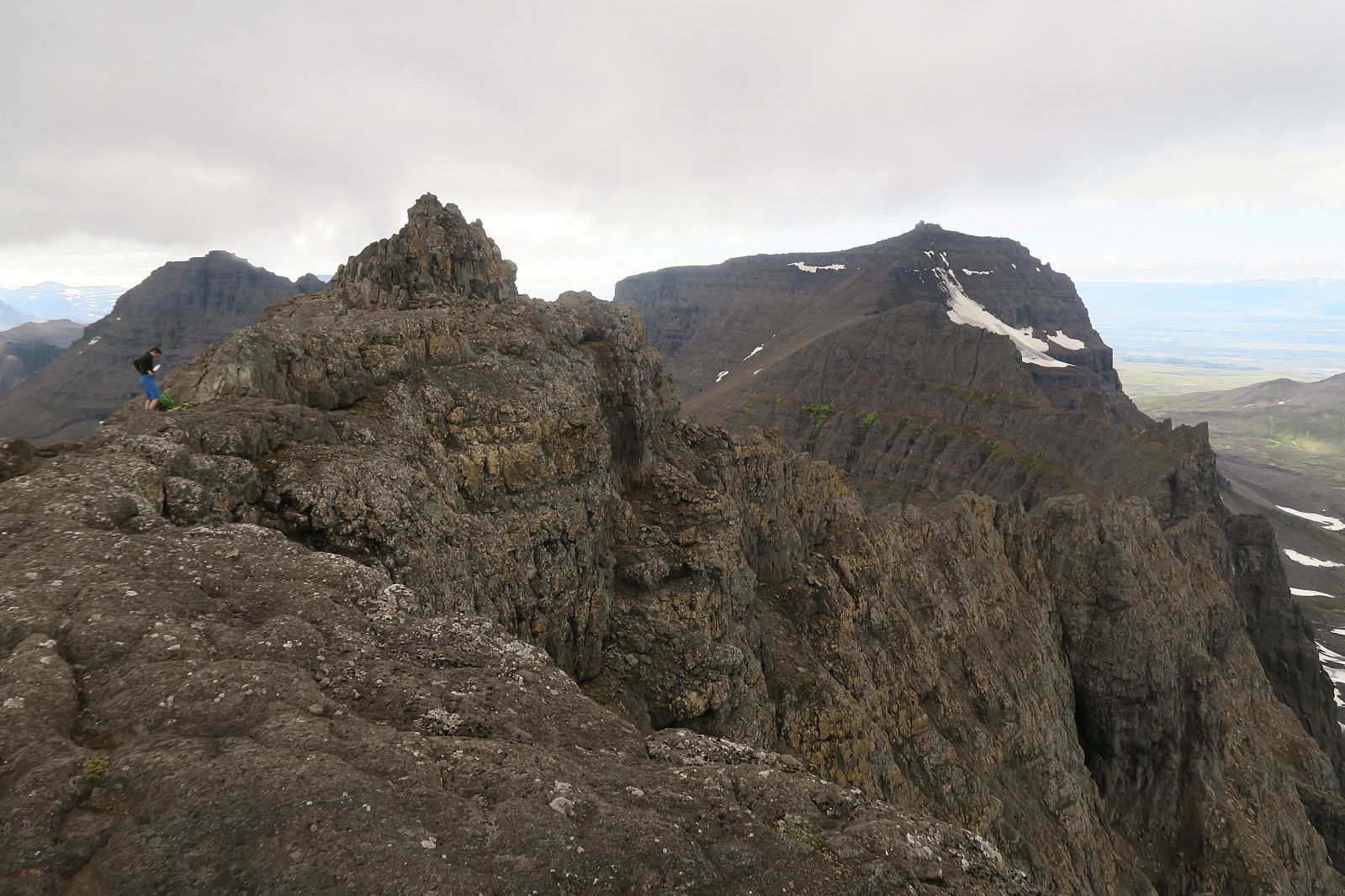 Afternoon climb to the easiest of the three summits of the Dyrfjöll mountain range in the minicipality of Borgarfjörður in Eastern Iceland. We started in the village Bakkagerði and hiked the mountain from the eastern side.
Dyrfjöll (meaning the Door Mountains) are the highest mountains (1136 m) on the Borgarfjordur Bay. They consist of Ytra-Dyrfjall (also called Súla), Fremja-Dyrfjall and Dyrfjallstindur (this mountain). Their name is derived from a prominent mountain pass called Dyr (the Door) at 856 m above sea level. We stayed at the campground Bakkagerði, and through Google and visual impression, Dyrfjallstindur seemed to be the only one possible to climb with out climbing equipment. We still don´t know for sure if this is true, so any comments or local information is welcomed.
We drove 1,0 km into Hólalandsvegur >>>
Eyjan i Åsbyrgi
- Data:
- 07.08.2018
- Czas trwania:
- 0:55h
- Dystans:
- 4.6km
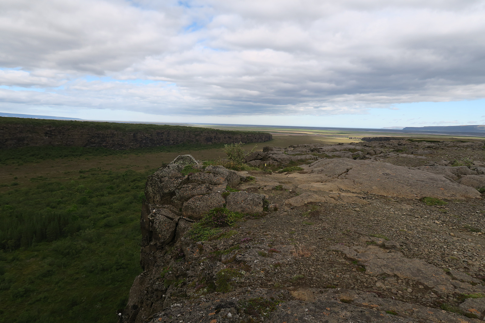 A short and easy hike along a trail (A2) from the Ásbyrgi campground. The trail head is at the camping. The route heads first north and then it goes up the cliff where it is suitable for ascent. From there, 2 km to the south. From Eyjan, there is a nice view to the impressing horse-shoe shaped canyon.
Nordre Trolla fra Litlnebba til Snøskar
- Data:
- 02.08.2018
- Rodzaj aktywności:
- Alpine trip
- Czas trwania:
- 33:17h
- Dystans:
- 19.7km
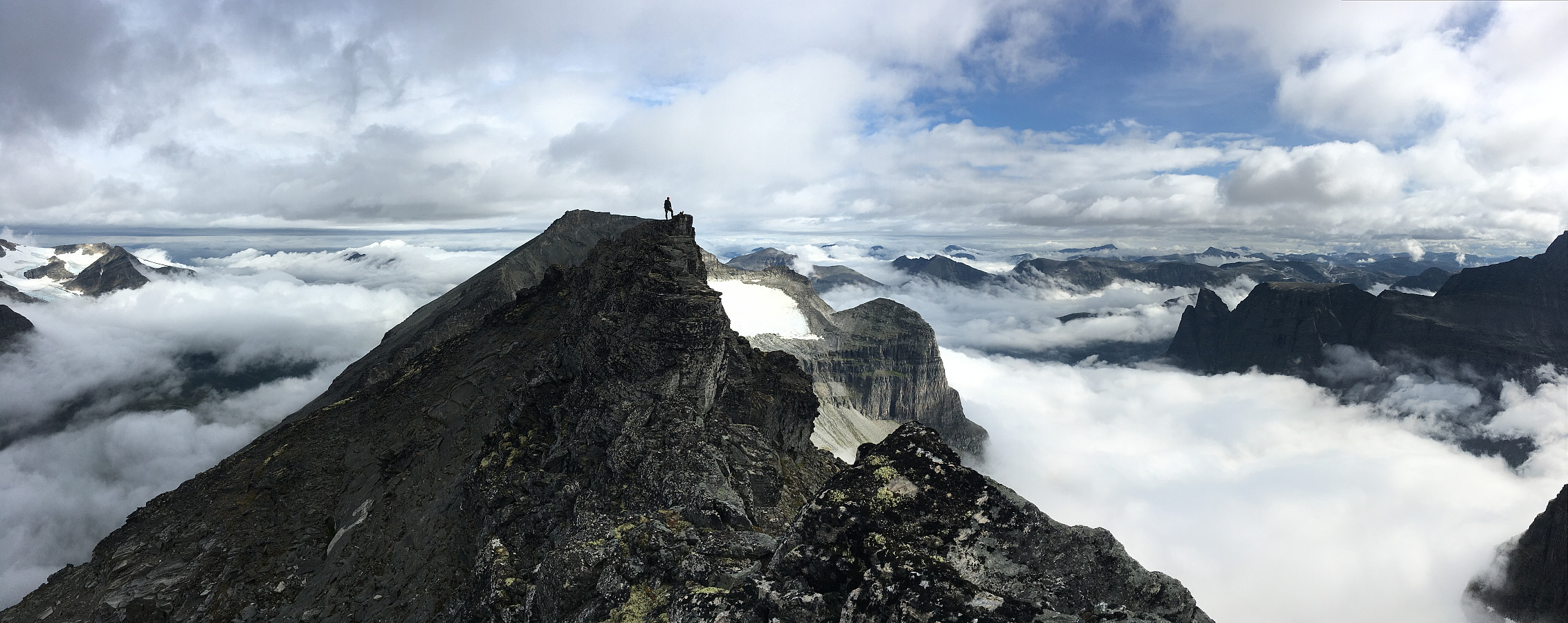 Opp til Fossbotnin
Litlnebba
Nordre Trolla
Nordryggen
Snøskar
Returen
Fem vatn og tre toppar i Moldemarka
- Data:
- 01.08.2018
- Rodzaj aktywności:
- Jogging
- Czas trwania:
- 2:48h
- Dystans:
- 15.5km
Under gode forhold som god varme både i luft og vatn, låg det endeleg til rette for dette prosjektet; swimrun i Moldemarka. Turen gjekk over Tågheia (512 moh), Bjørsettjønna (455 moh), Audunstjønnan (452 og 454 moh), Moldeheia (530 moh), Øverlandsvatnet (254 moh) og Fjellbrudammen (180 moh). Greie svømmefohold i dei fleste vatna, men litt trått over Øverlandsvatnet pga. grunt vatn og vassplantar. Eg hadde GPS-klokka på handleddet på Bjørsettjønna (derav sikksakk-sporet) men flytte den over i vasstett pakkpose på slep i overflata på dei neste. Sistnemnde funka best for nøyaktig sporlogg. Her er forresten litt folkeopplysning om Audun Aagesen som Audunstjønnan er oppkalt etter (frå Holsbøvåg, 2010 ): ''I Audunstjønnan har ein namnet til den tiltakssame eigaren av Reknes på 1600-talet, Audun Aagesen. >>>
Jørgenvågsalen
- Data:
- 26.07.2018
- Czas trwania:
- 6:52h
- Dystans:
- 9.7km
 Familietur fra hytta og opp på Jurtinden/Jørgenvågssalen.

Langholmen fra Kråksundet
- Data:
- 16.07.2018
- Rodzaj aktywności:
- Kayaking
- Czas trwania:
- 4:27h
- Dystans:
- 15.7km

Langvatnet rundt fra Kinna
- Data:
- 17.06.2018
- Czas trwania:
- 2:05h
- Dystans:
- 8.4km
 Ei kjent rute som eg har sett så mange gongar frå Reinsfjellet måtte til slutt prøvast ut. Ein søndag i juni var det tid for lett jogging, litt tusling og ørlitegrann kaving (i tett skog) rundt Langvatnet ved Kinna og Hoem. Mykje fluer og to hoggorm gjorde at vi fekk litt å bakse med, men ellers var dette ein veldig fin tur.


