
Djuptjernkampen - 1325moh

|
|

© Julia Helgesen |
||||||||||||||||||||||||||
| Innhold | |
|---|---|
| Språk | |
| Fadder | ingen |
| Statistikk |
Totalt 183 medlemmer har registrert 247 bestigninger av Djuptjernkampen. Djuptjernkampen inngår i 25 lister. |
Kart
Innledning
Djuptjernkampen is the highest peak in the municipality of Nord-Aurdal in Oppland fylke.
Atkomst
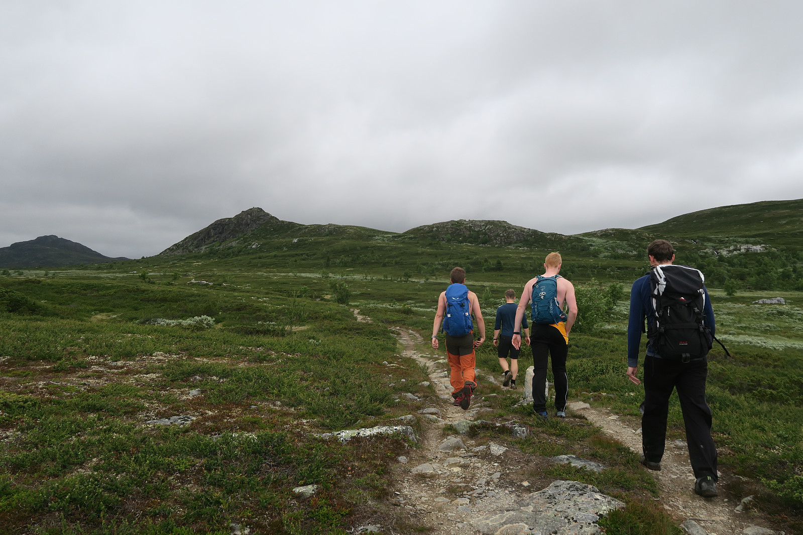
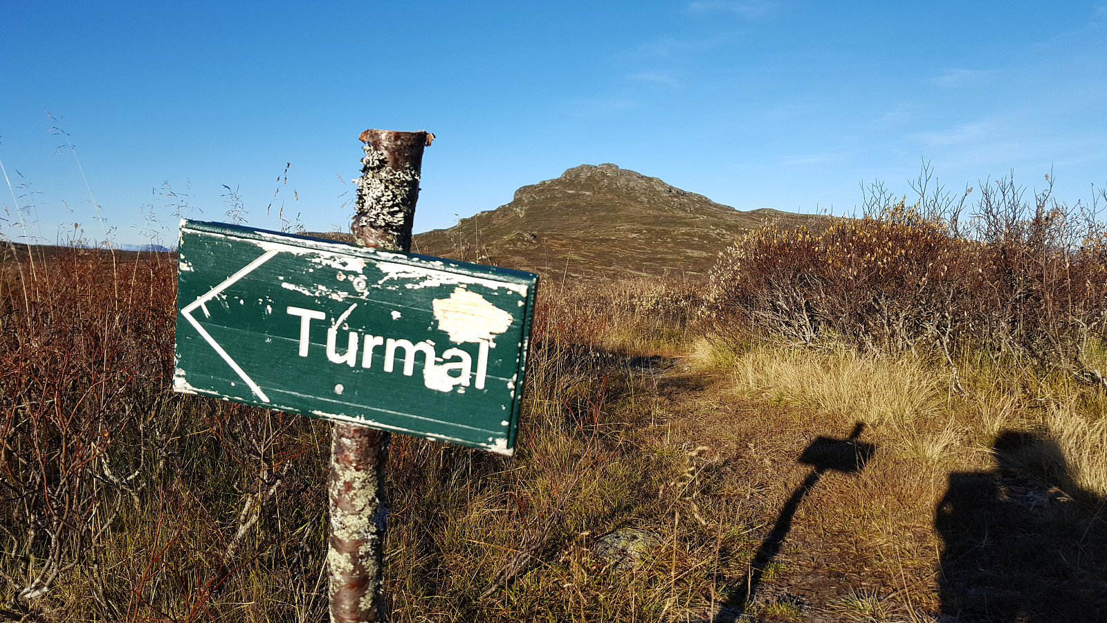
Drive public road approx. 2 km north-northeast of Lenningen. There are good parking space on the eastern side of the road. Follow private (closed by gate) gravel road towards Tronhus a good kilometer in a western direction. At the Tronhus pasture you will find the trailhead of a marked track leading up the forest to the north-northwest. Follow the track until approx. 1.5 km east of the summit where you leave it. Just walk in the terrain or follow unmarked path up the eastern ridge to the summit. Easy walk.
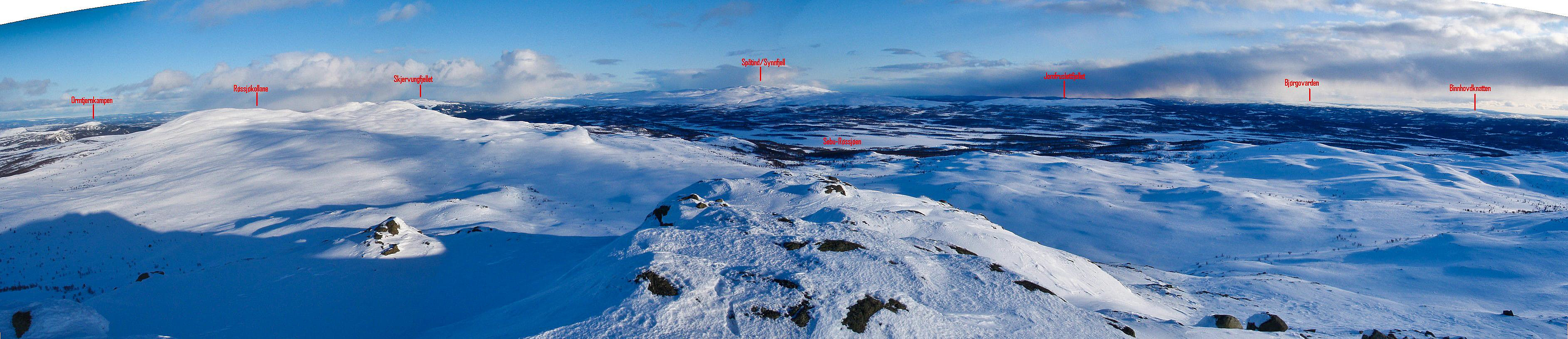
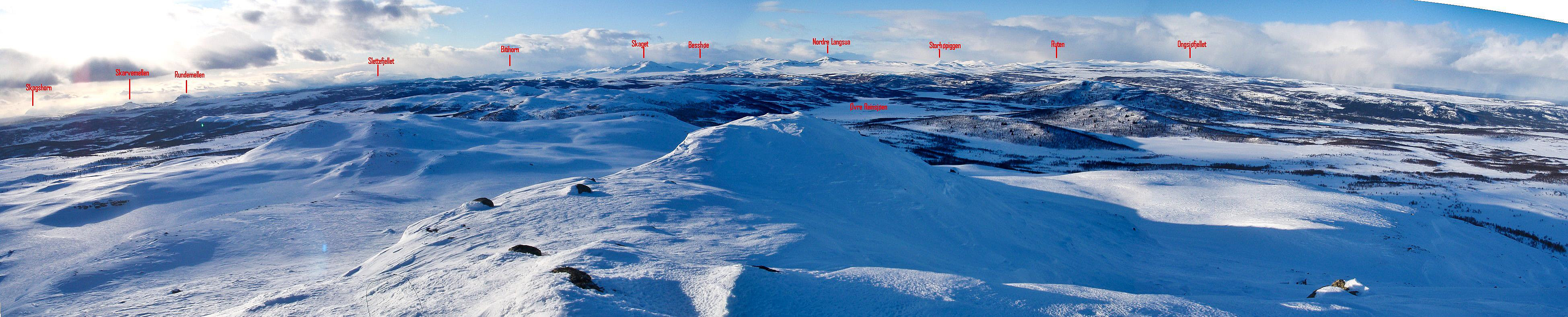
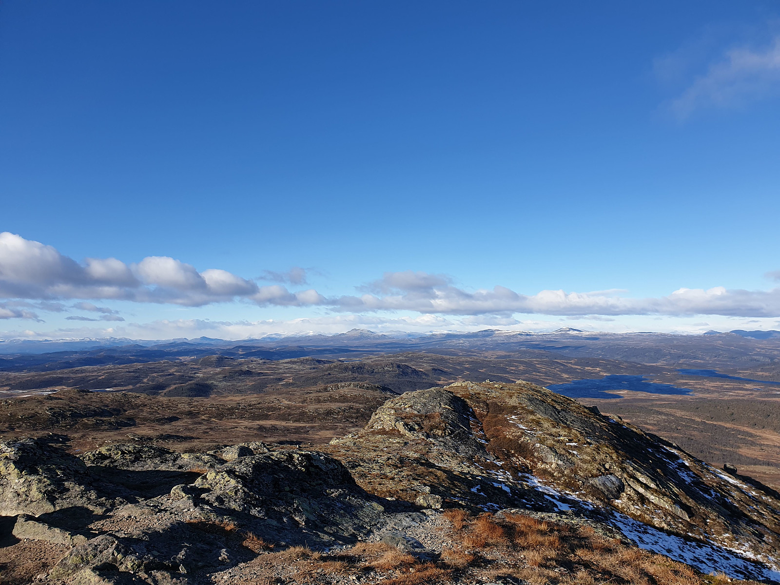
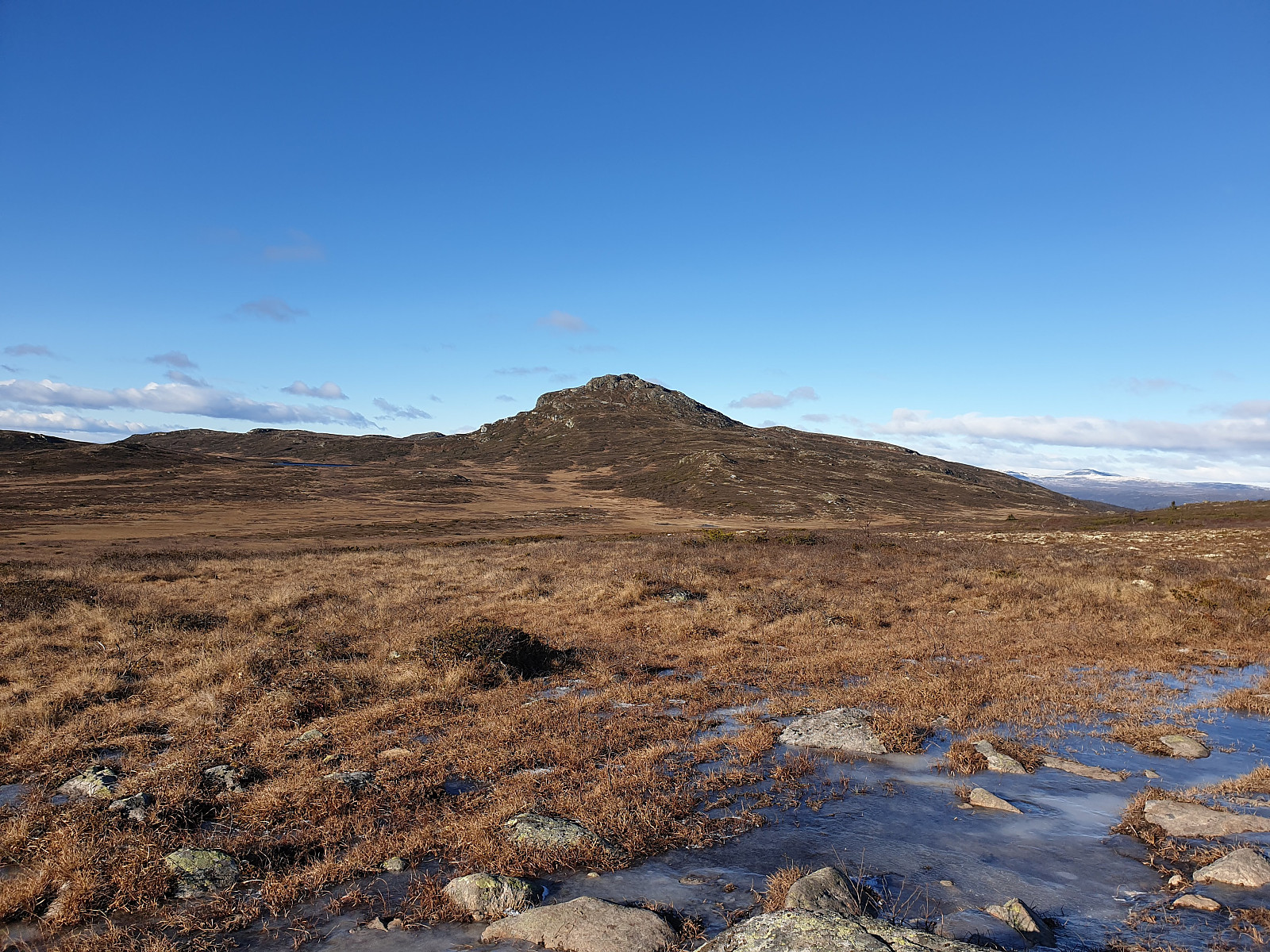
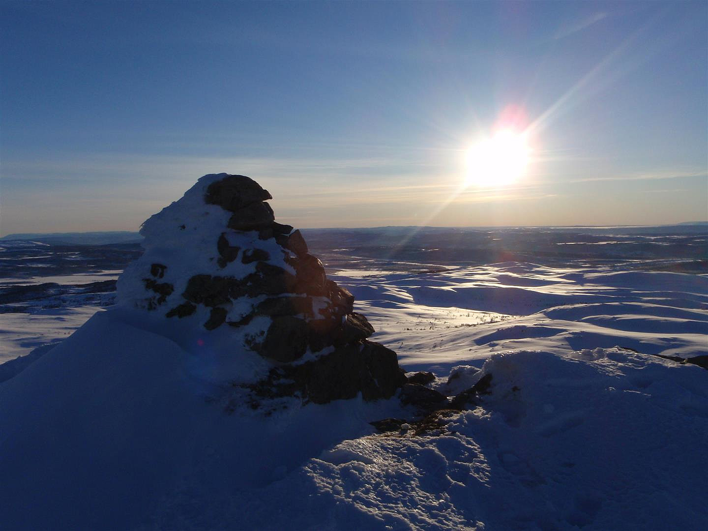
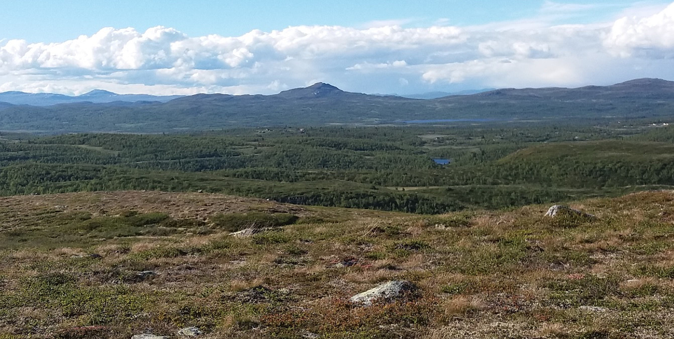
Phenomenal view from the summit.
Bilder
Startsteder
Flere bilder
 |
 |
 |
 |
 |
 |
 |
 |
Turrapporter


Kommentarer