
To Arboretet in Milde, and back (12.04.2026)

Skrevet av HHauser (Helwig Hauser)

| Startsted | Varden (45moh) |
|---|---|
| Sluttsted | Varden (45moh) |
| Turtype | Blandet sykling |
| Turlengde | 2t 00min |
| Distanse | 29,1km |
| Høydemeter | 682m |
| GPS |
|
| Andre besøkte PBE'er | Grønneviken p-plass (10moh) | 12.04.2026 |
|---|---|---|
| Skage p-plass (45moh) | 12.04.2026 | |
| Straume bro (5moh) | 12.04.2026 |

Note that this track has been created from memory, i.e., it was not recorded automatically.
Trip Summary
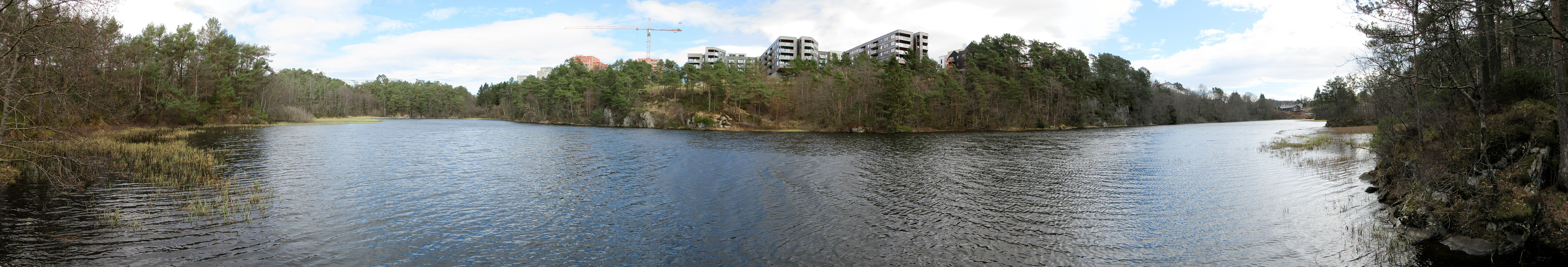
Just a nice bike-ride to/from Arboretet in Milde. On our way back, we decided to take a slightly different route, following Grimseidvegen, towards the northeast, before finding a connection towards Skage through Skageskogen passing by Kolhushaugen. From Skage, we then continued along Håvardstunvatnet and Skranevatnet. Via Søvik, we eventually made it back onto usual tracks.
Useful Resources
See also the related FB-page Hiking around Bergen, Norway.


Kommentarer