
Brattelifjellet, Storeholten and Mosedotten (11.04.2026)

Skrevet av hbar (Harald Barsnes)

| Startsted | Glenjevegen/Merkesdalen (33moh) |
|---|---|
| Sluttsted | Sløvågen fergekai (2moh) |
| Turtype | Fjelltur |
| Turlengde | 5t 35min |
| Distanse | 15,3km |
| Høydemeter | 778m |
| GPS |
|
| Bestigninger | Brattelifjellet (393moh) | 11.04.2026 10:53 |
|---|---|---|
| Storeholten (153moh) | 11.04.2026 12:42 | |
| Mosedotten (166moh) | 11.04.2026 14:19 | |
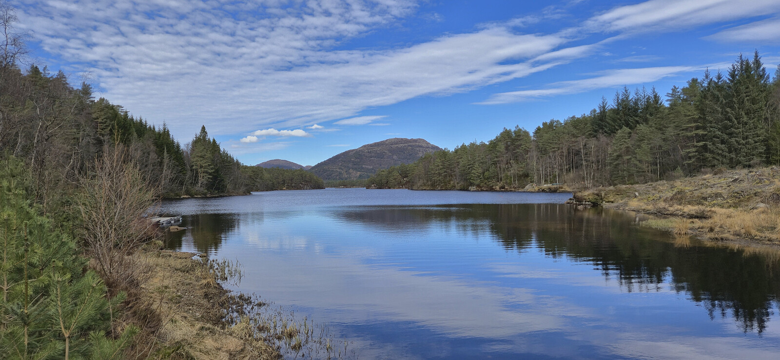
| Andre besøkte PBE'er | Langevatnet parkering (21moh) | 11.04.2026 13:44 |
Brattelifjellet, Storeholten and Mosedotten
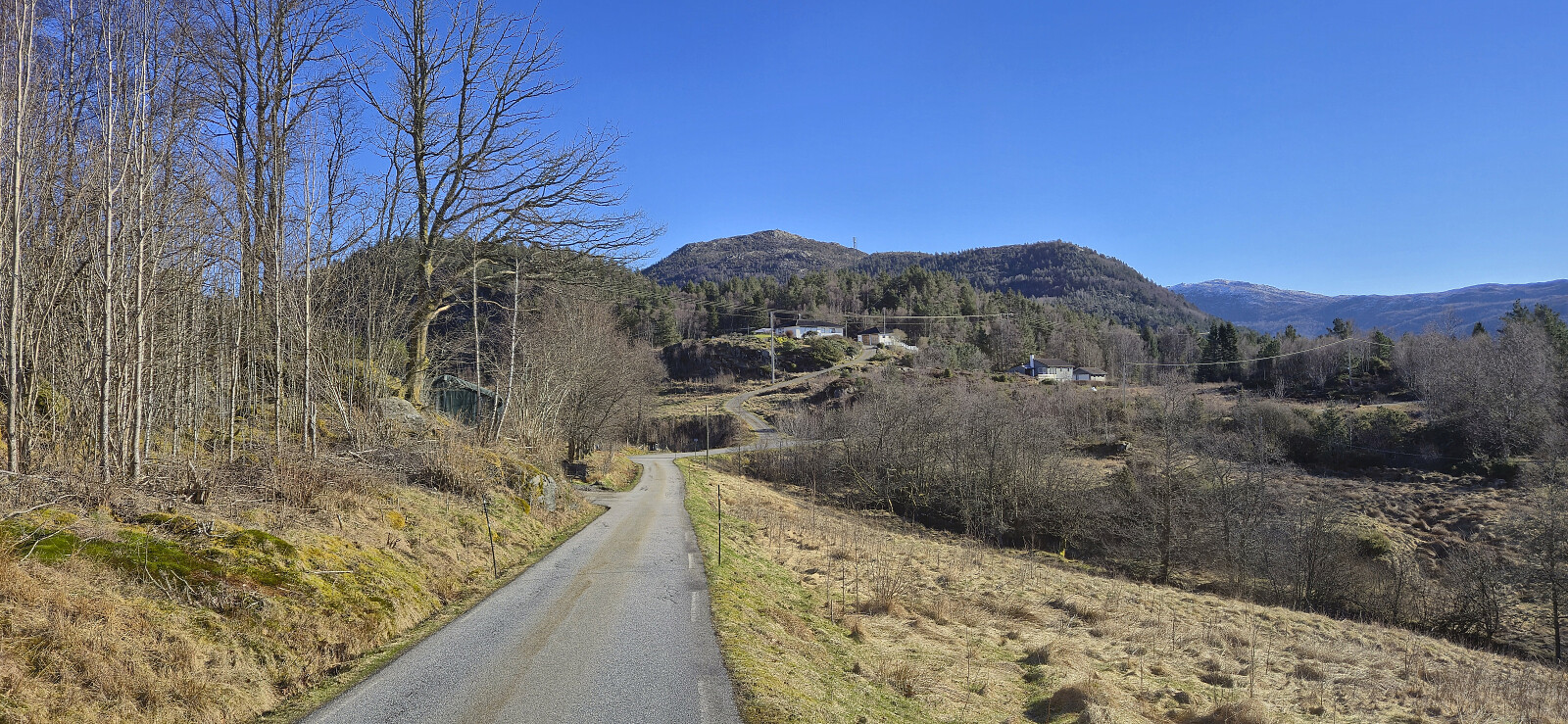
I started by taking the bus and ferry from Bergen to Sløvågen. Here I was picked up by a minibus heading for Mjømna. Note that you must call the company the day before for this bus to show up (see skyss.no). Given that I was the only passenger, the bus driver made a short detour into Merkesdalen, saving me around 800 meters of walking along the paved road. After thanking the driver, I continued on foot towards the marked trailhead for Brattelifjellet at Svardalen.
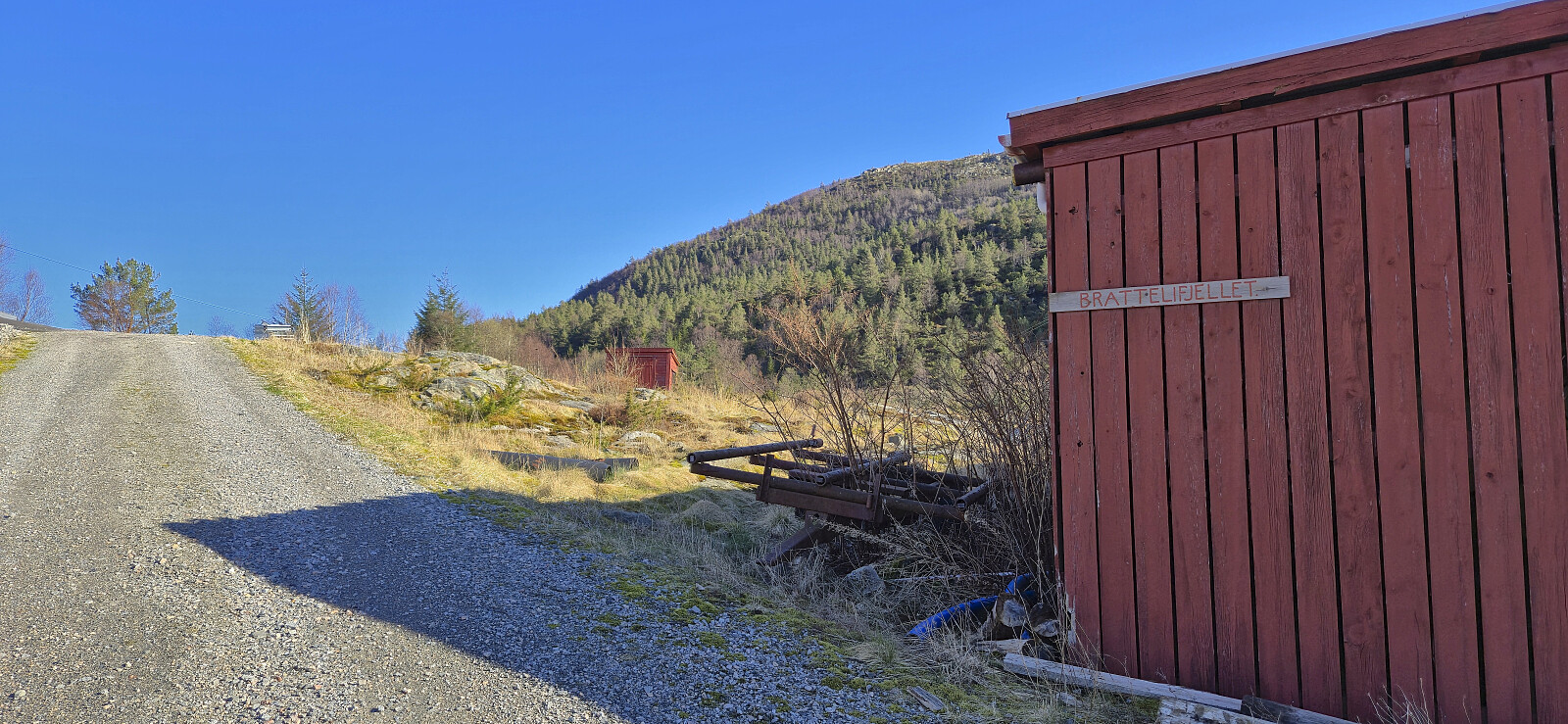
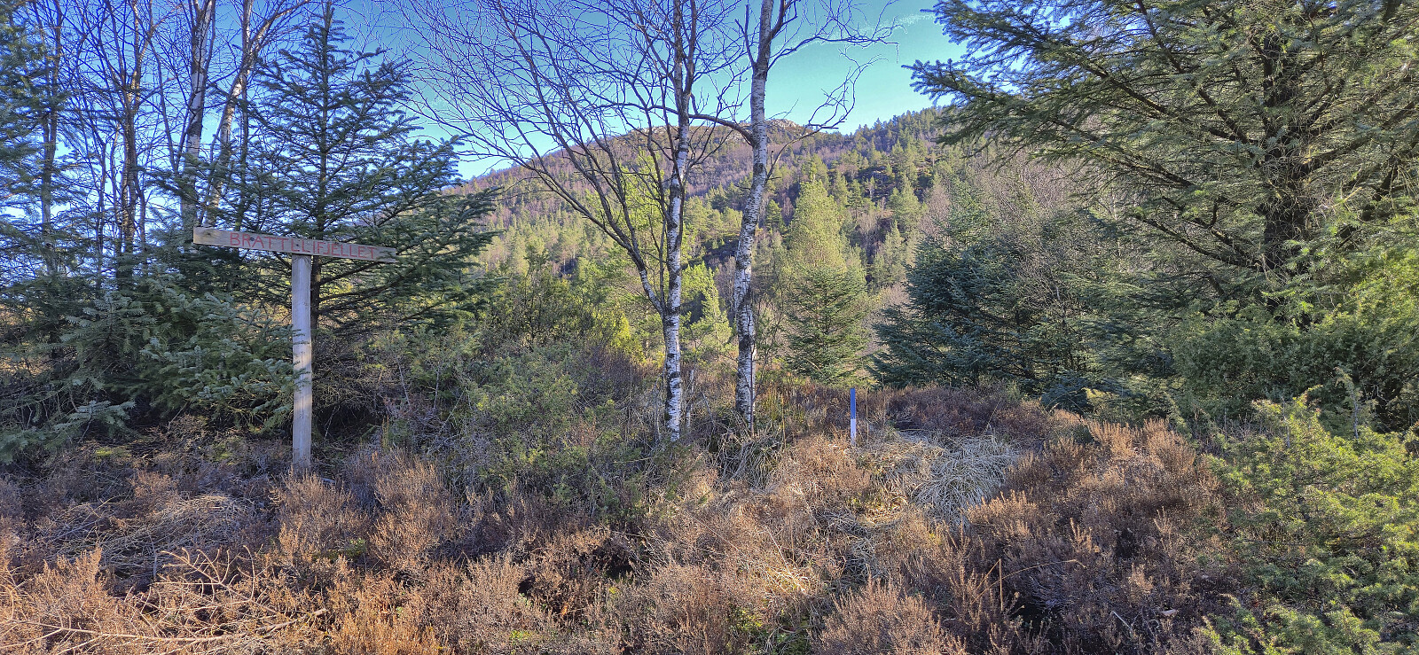
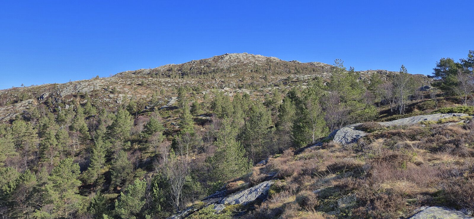
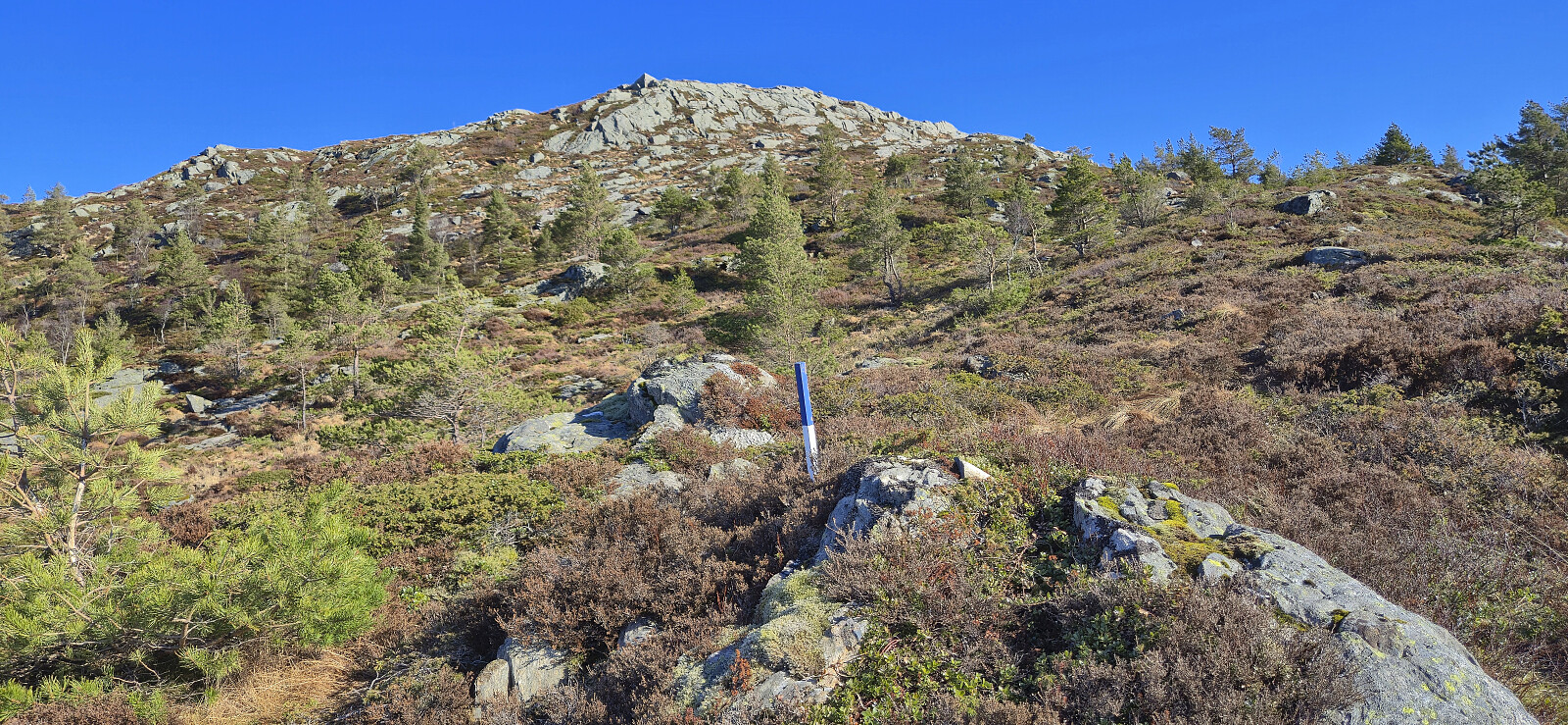
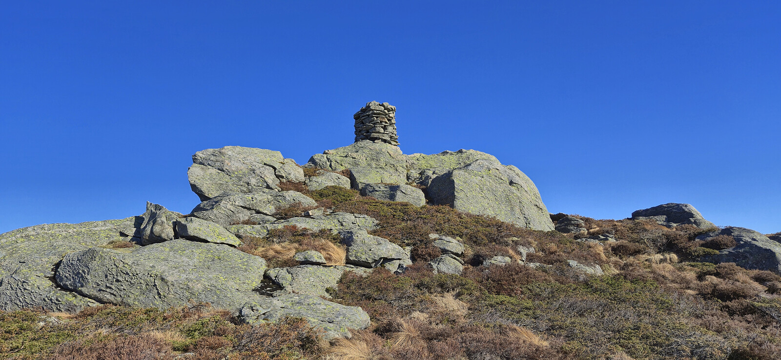
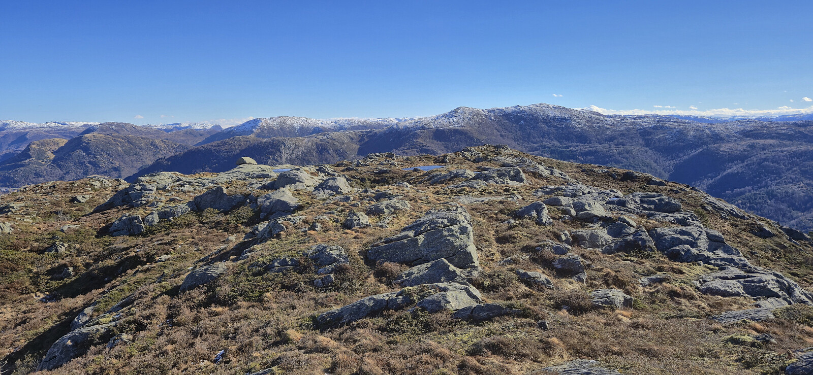
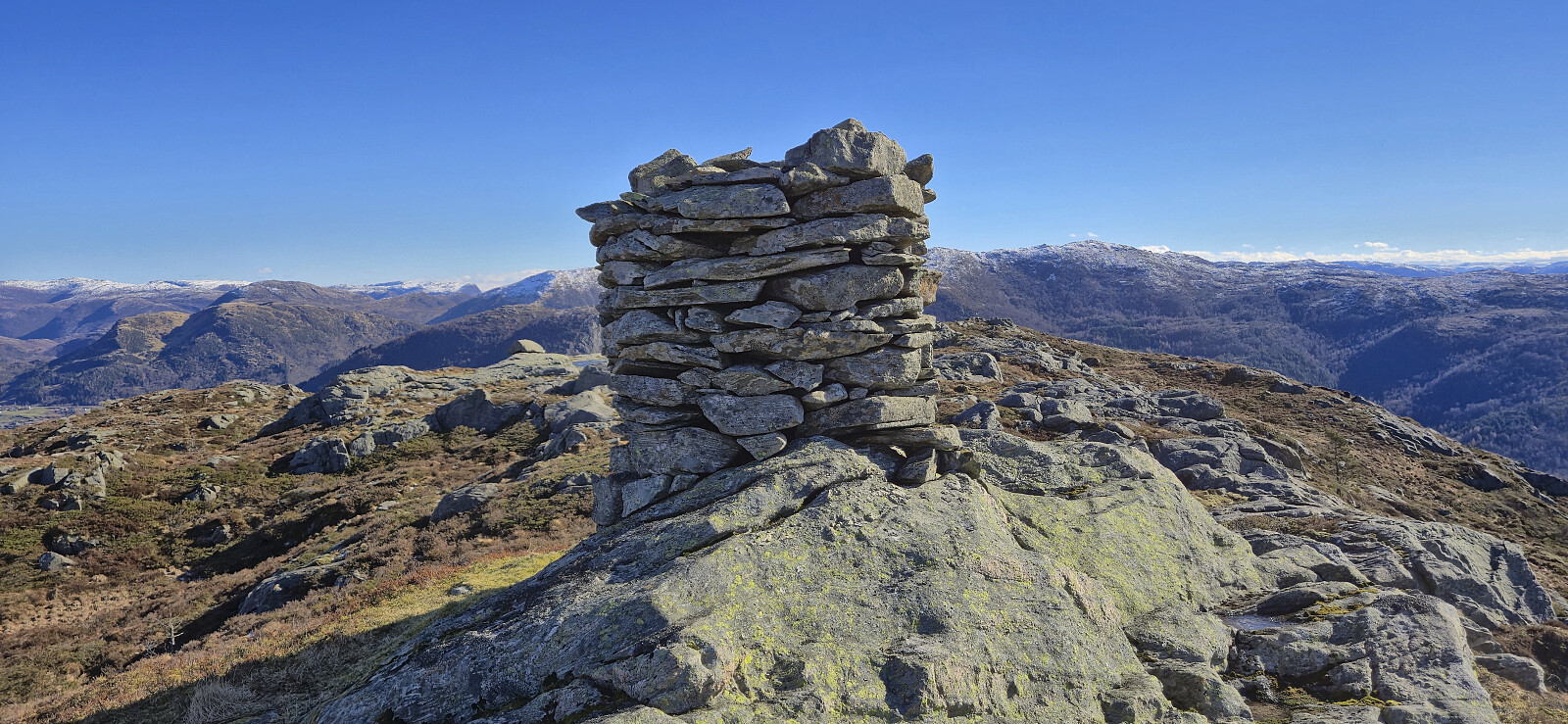
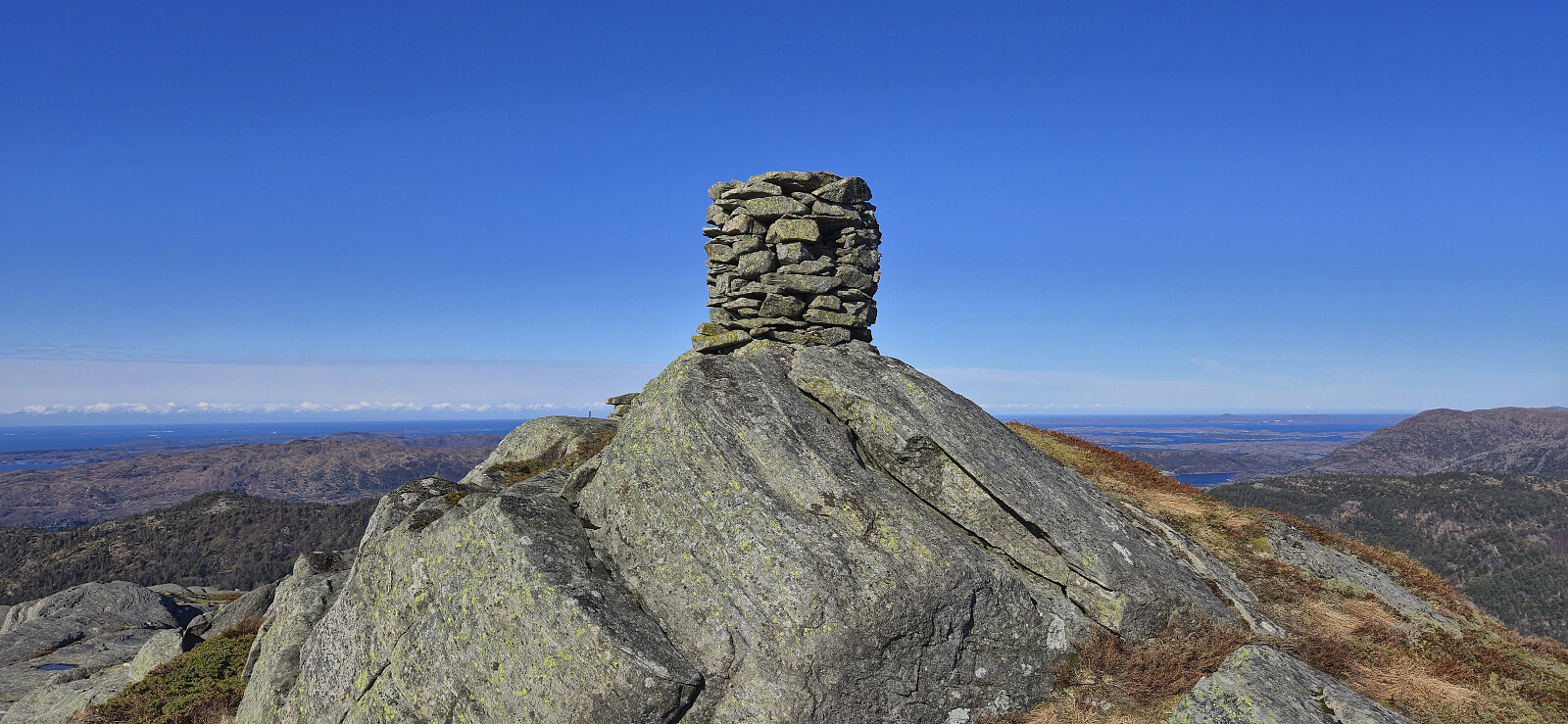
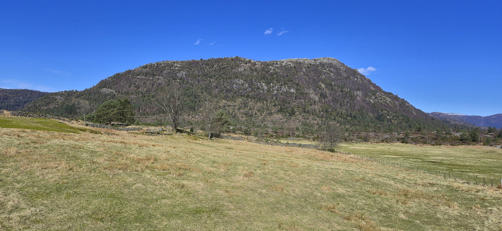
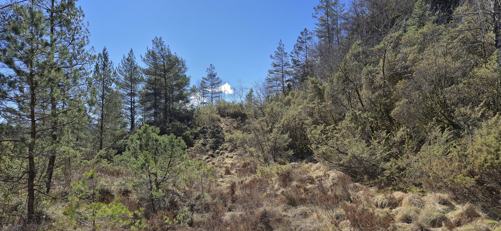
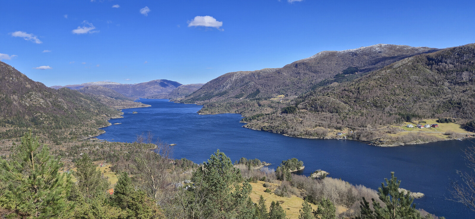
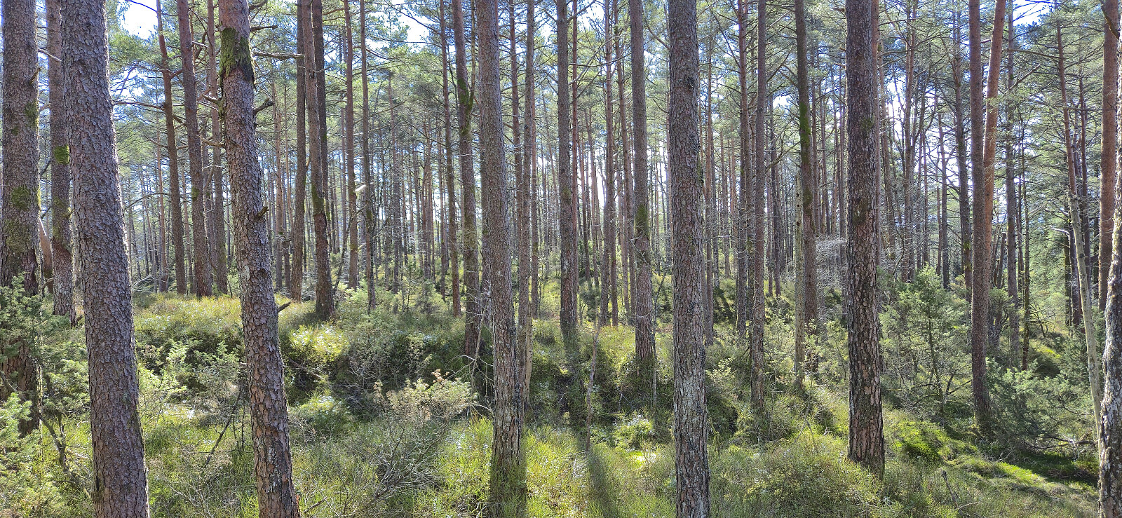
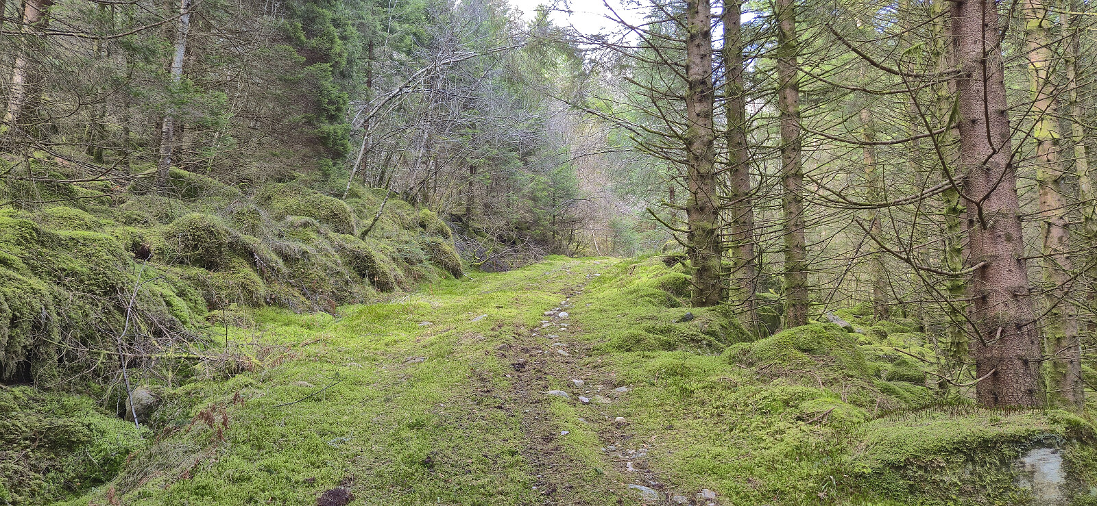
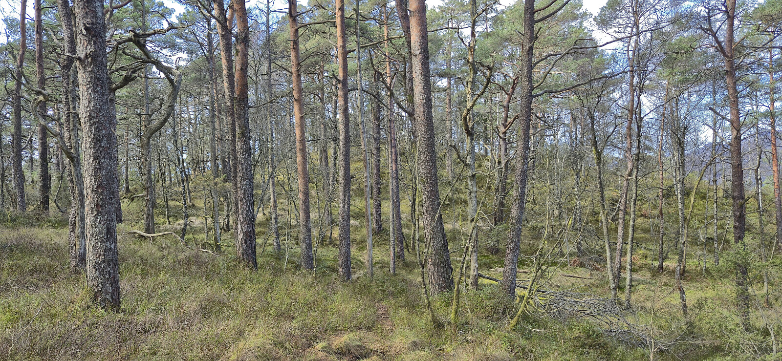
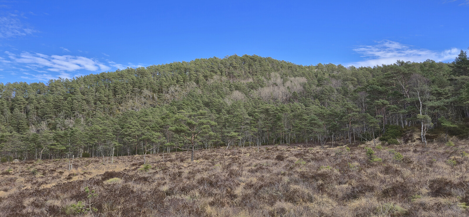
Thanks to Lise Grønbukt's trip report I easily located the marked trail to Brattelifjellet and followed it without too much trouble all the way to the large summit cairn. But while the trail was marked with both blue markers and the occasional cairn, the trail itself was often quite weak. I lost it a couple of times and it could benefit from at least a couple of additional markers at key points. The summit provided excellent panoramic views, however the strong wind still made for a short visit.
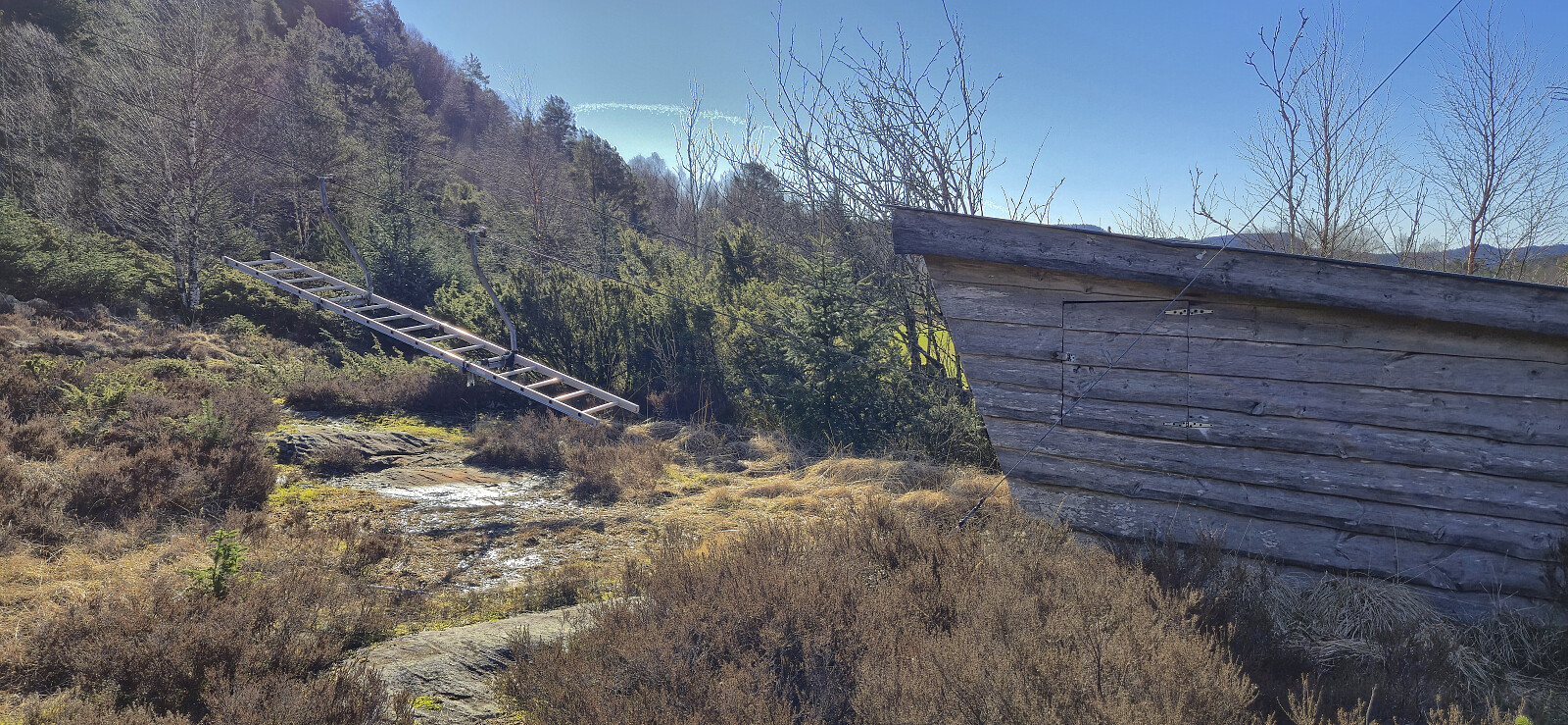
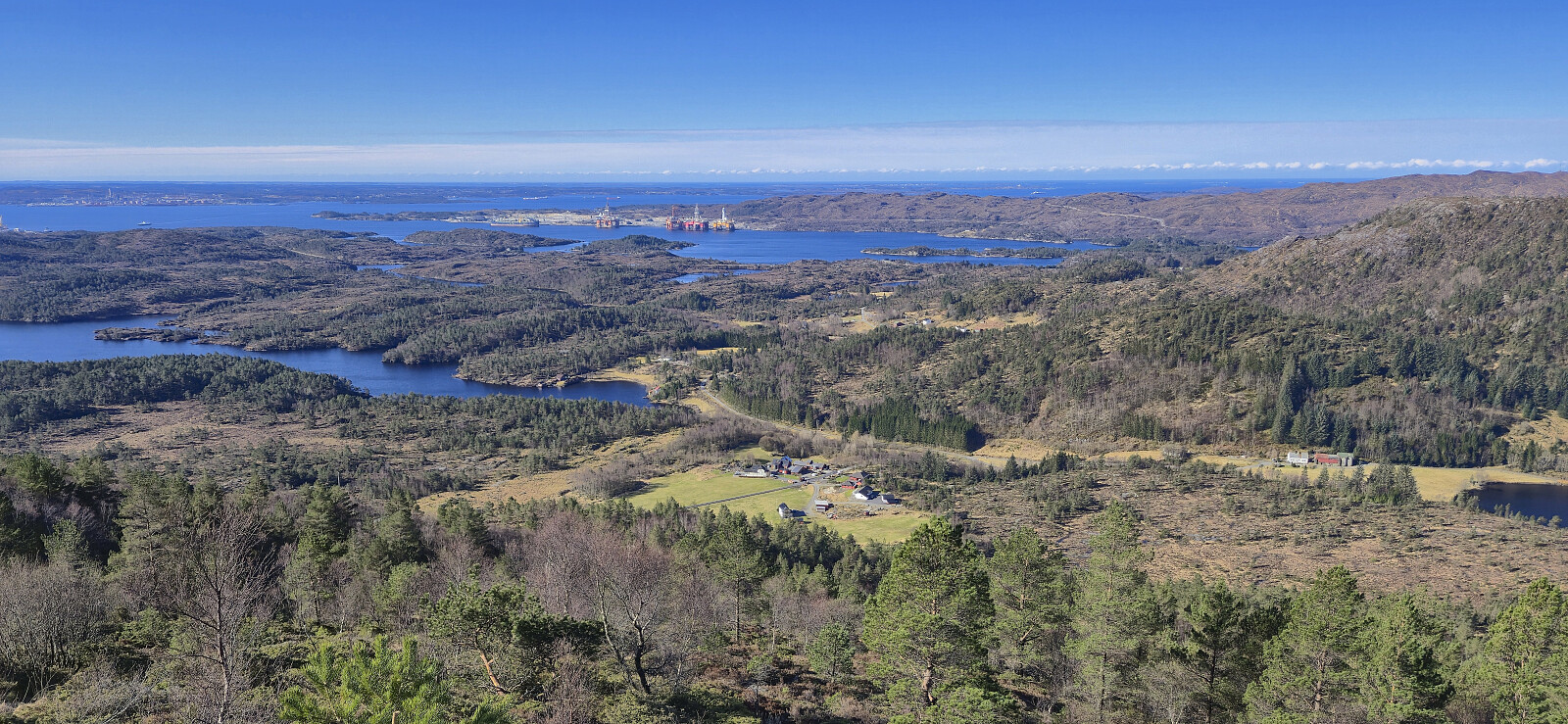
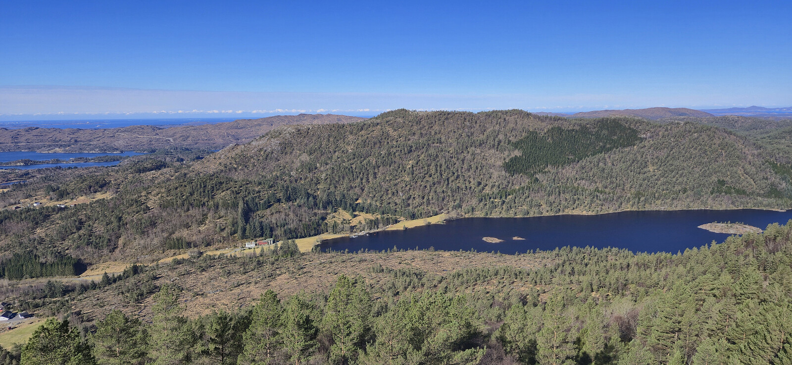
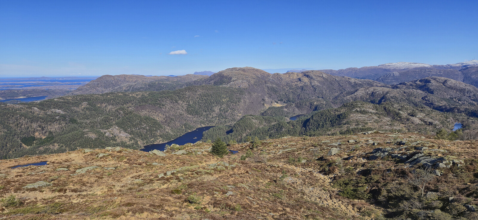
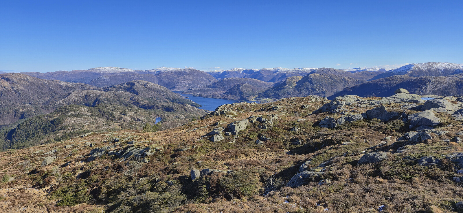
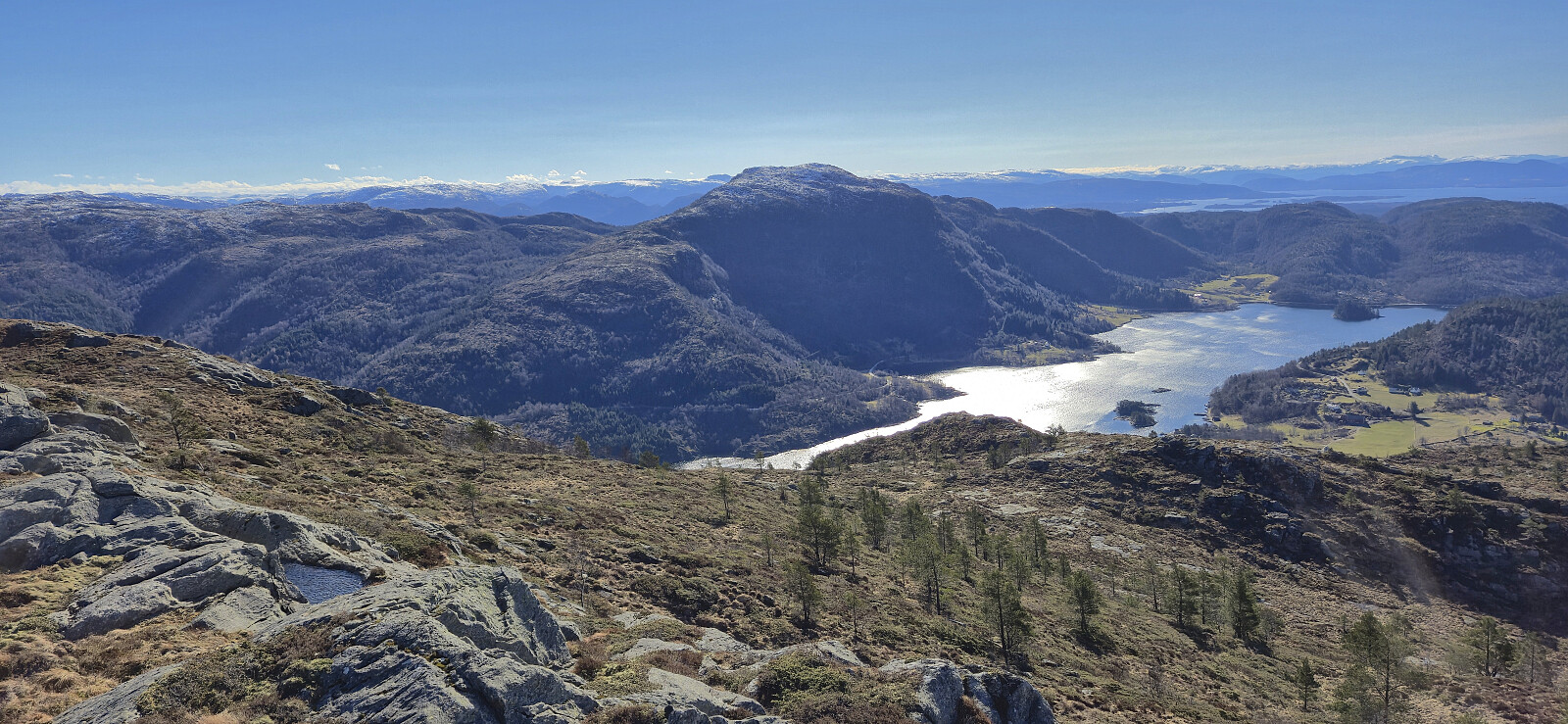
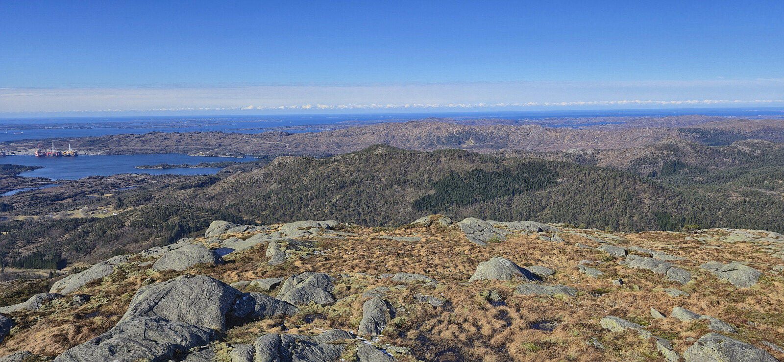
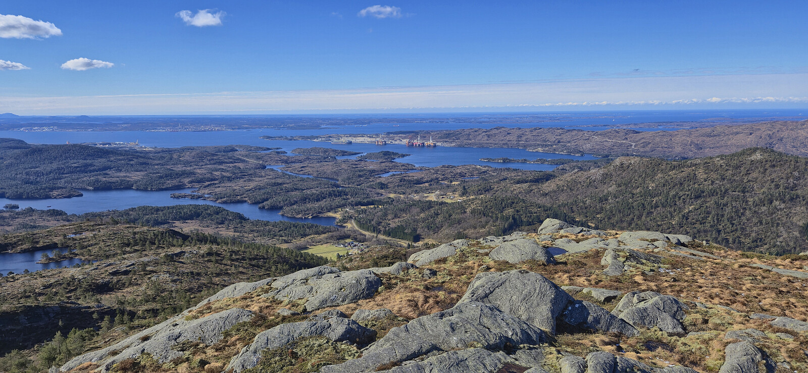
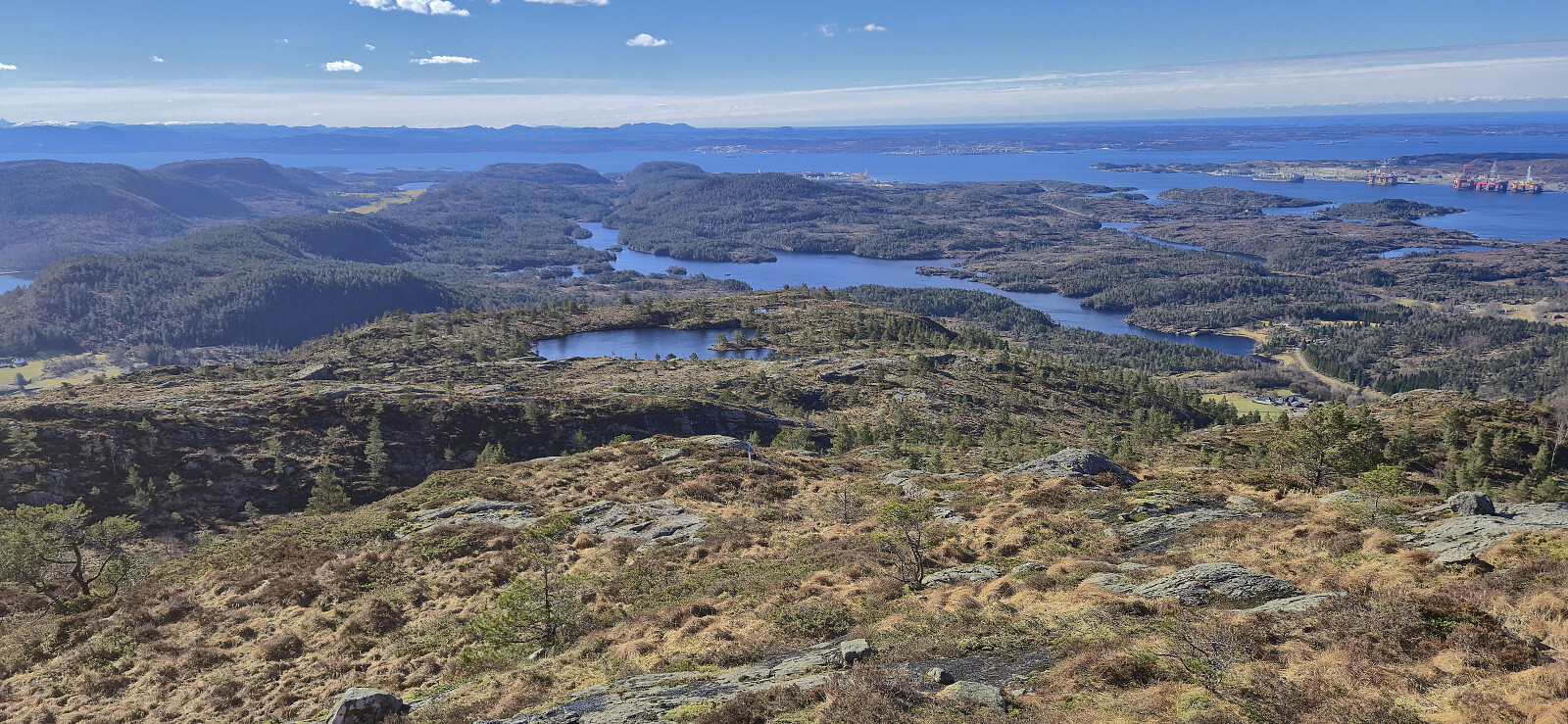
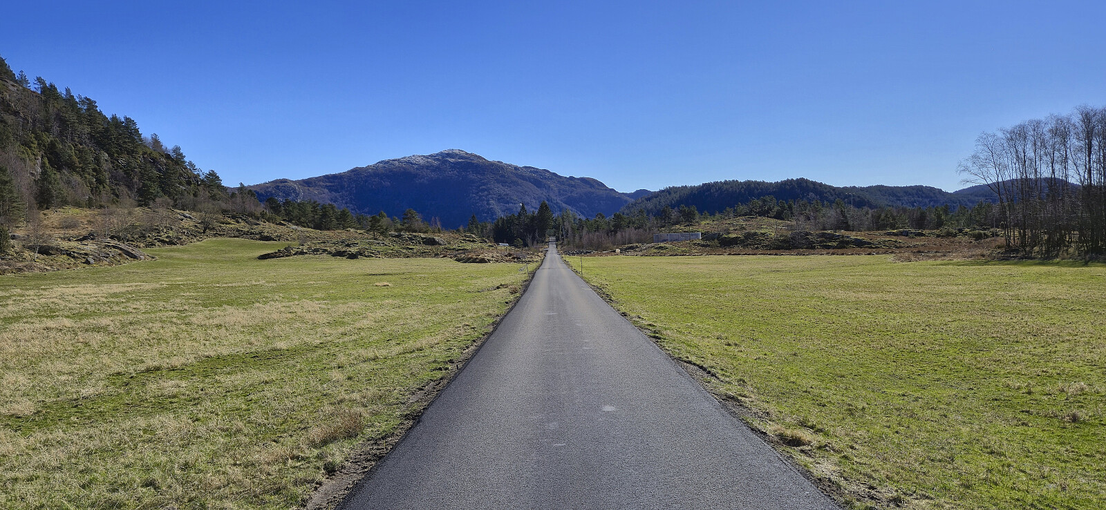
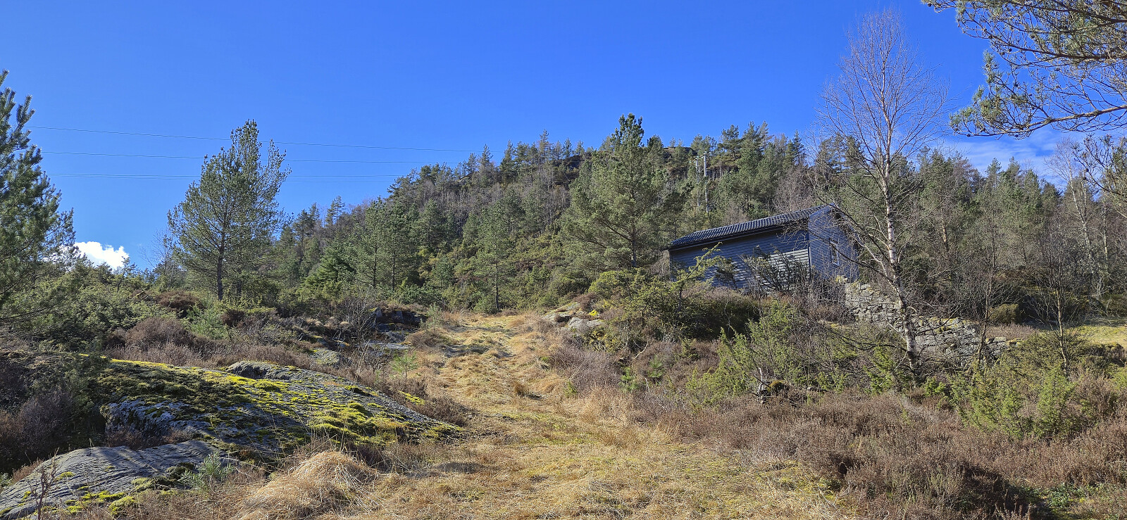
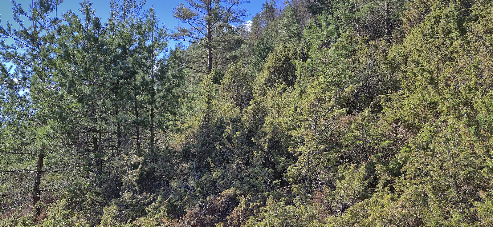
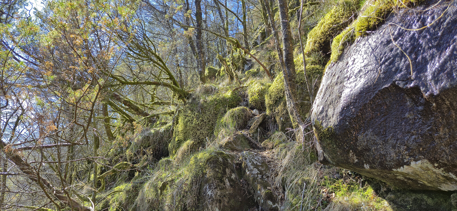
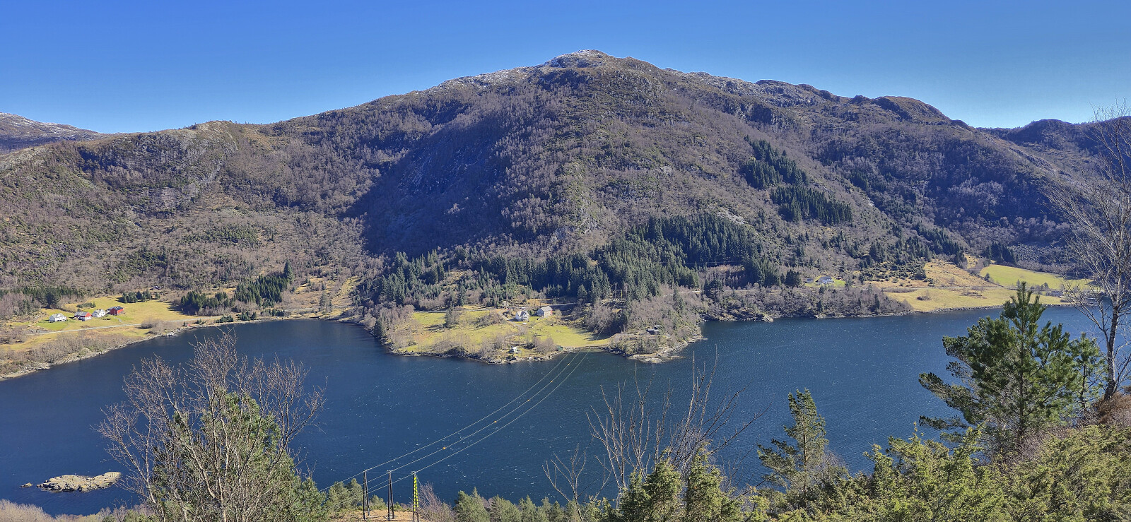
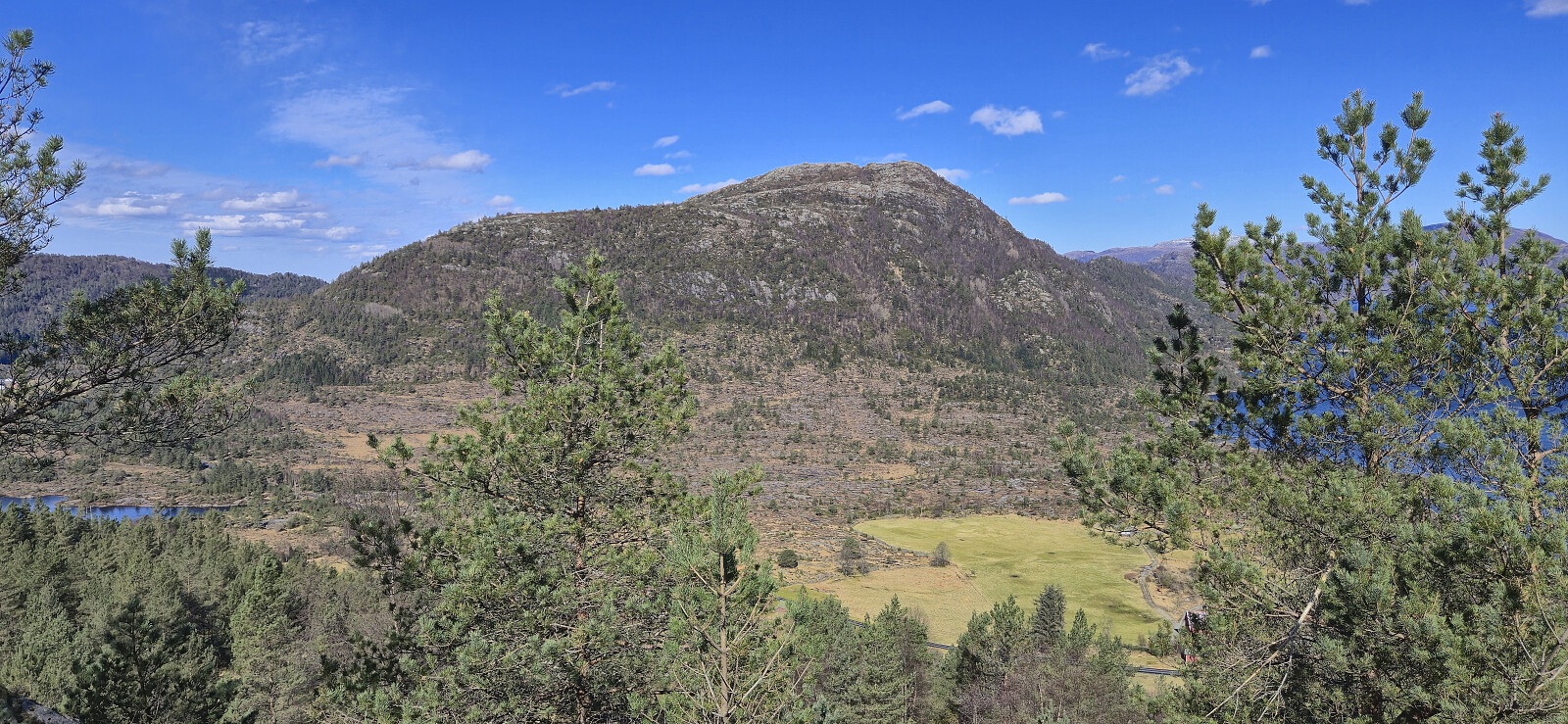
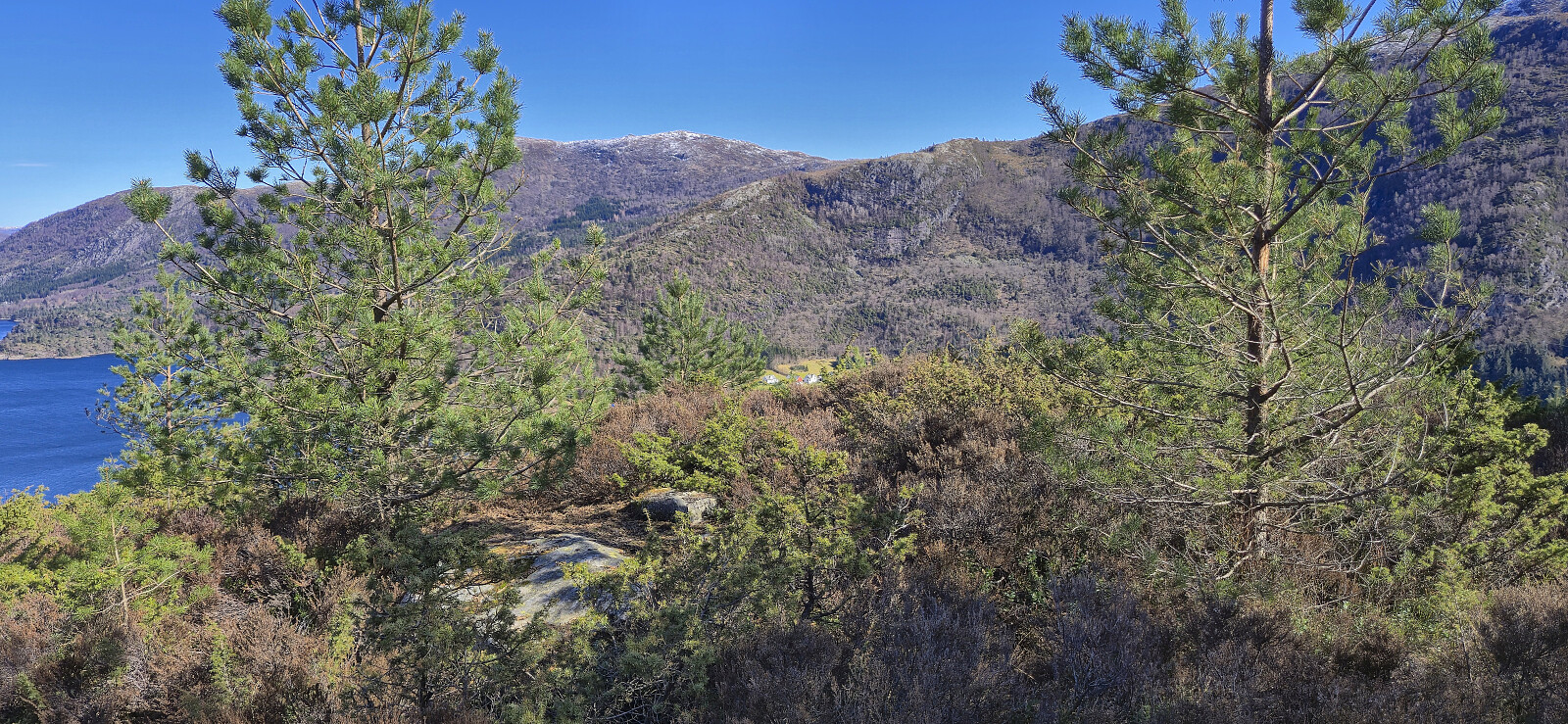
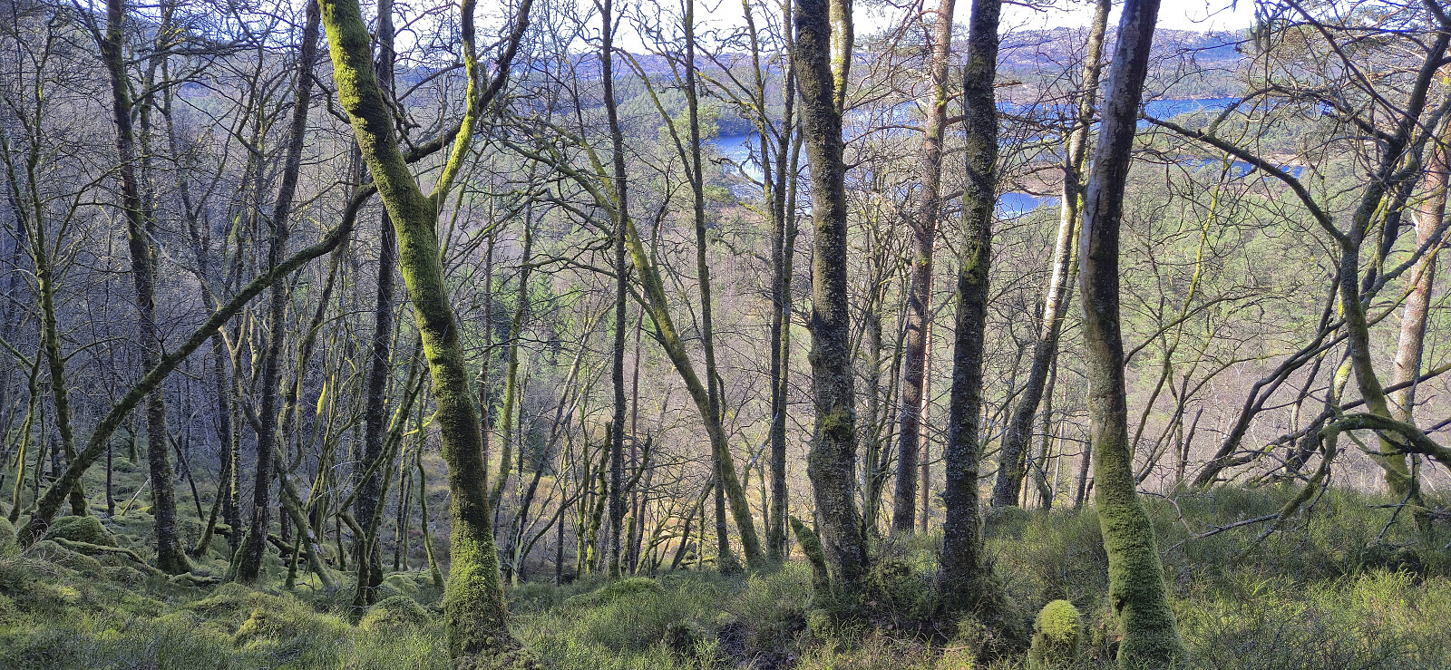
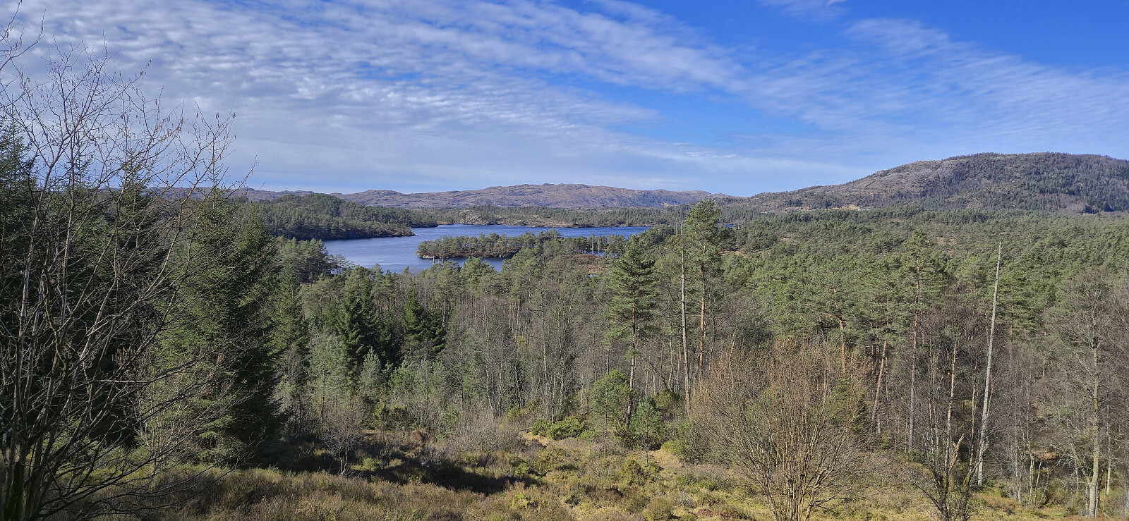
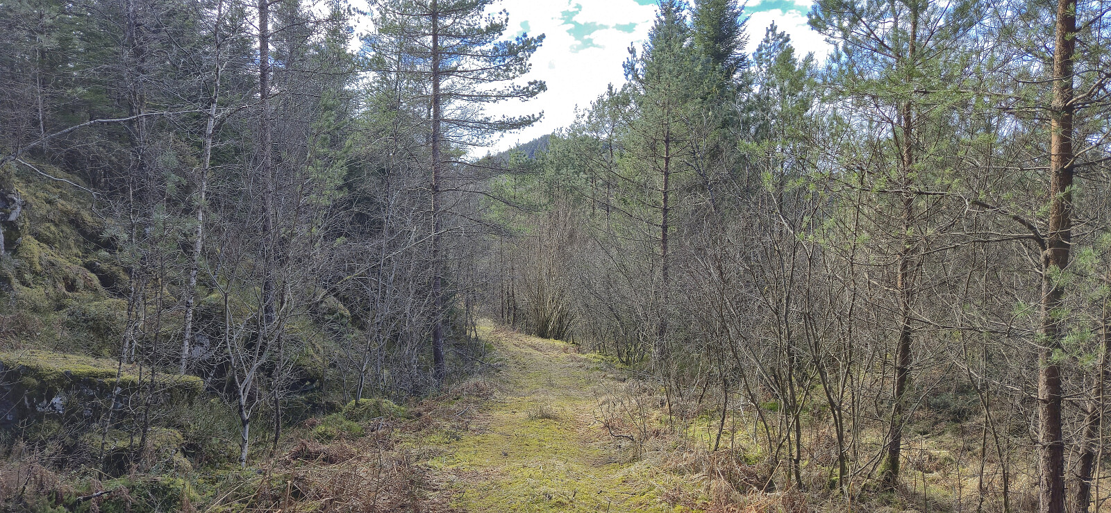
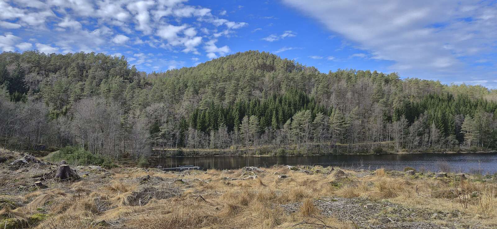
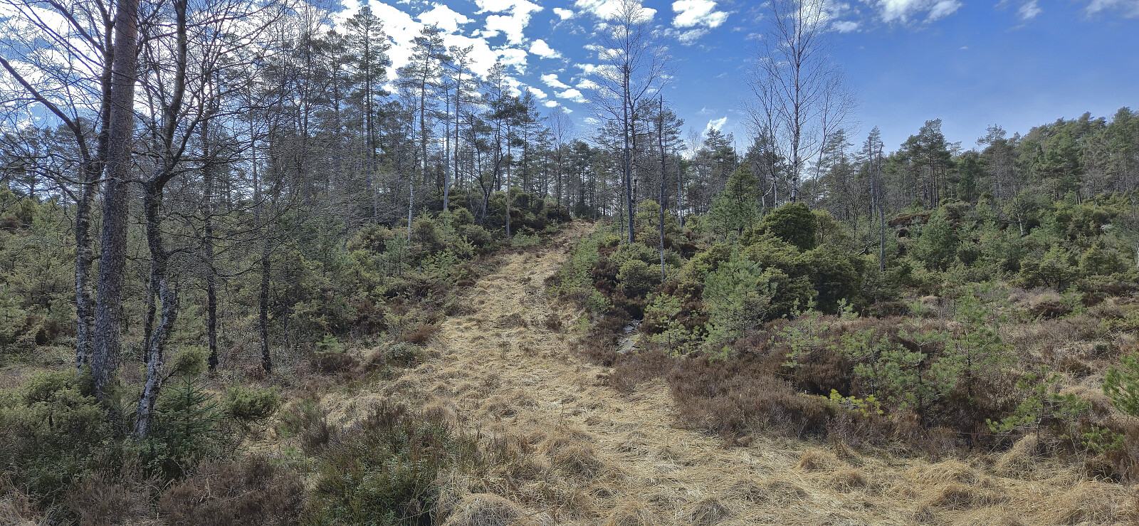
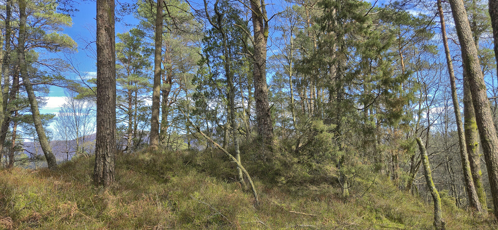
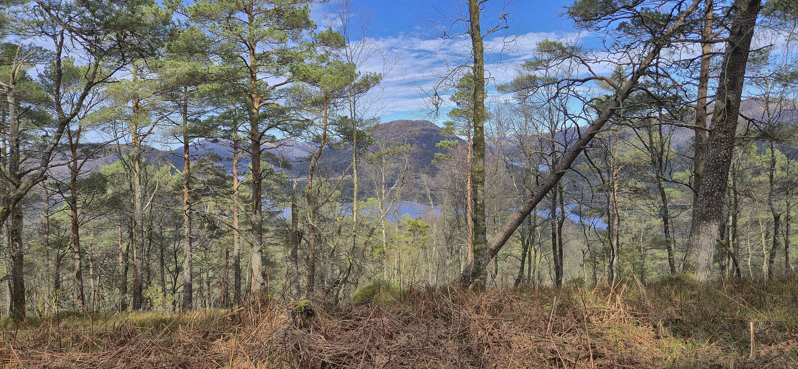
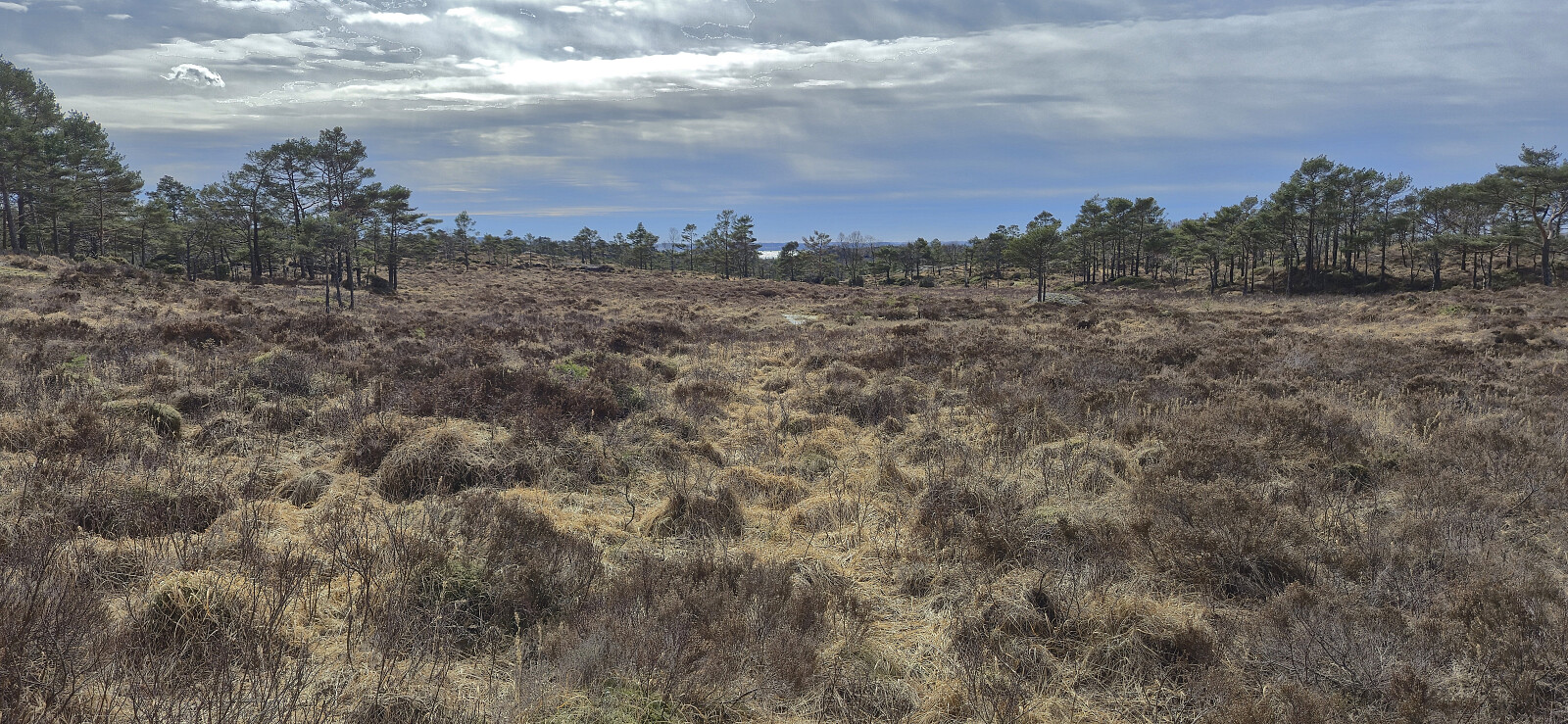
After returning to Svardalen, I headed southeast on a candidate for the straightest road in Gulen. Almost 2 km with absolutely no turns or bends. Quite unusual for the western part of Norway! At Glenja searched for a reasonable ascent route to Storeholten and decided to first head up a tractor road to a small building northeast of the summit. Here the terrain turned rather uninviting, but I thankfully found deer tracks heading in the wanted direction. So while the ascent included its share of fighting with the dense vegetation, I made it to the highest point without any real challenges. The views from the summit were much better than expected, with a particularly nice overview of Eidsfjorden.
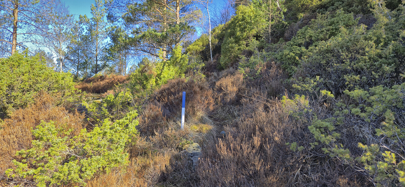
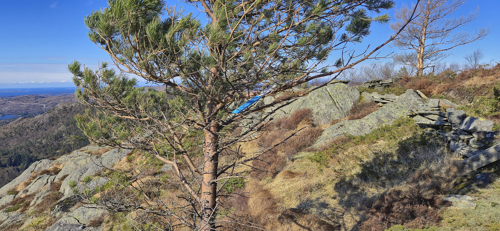
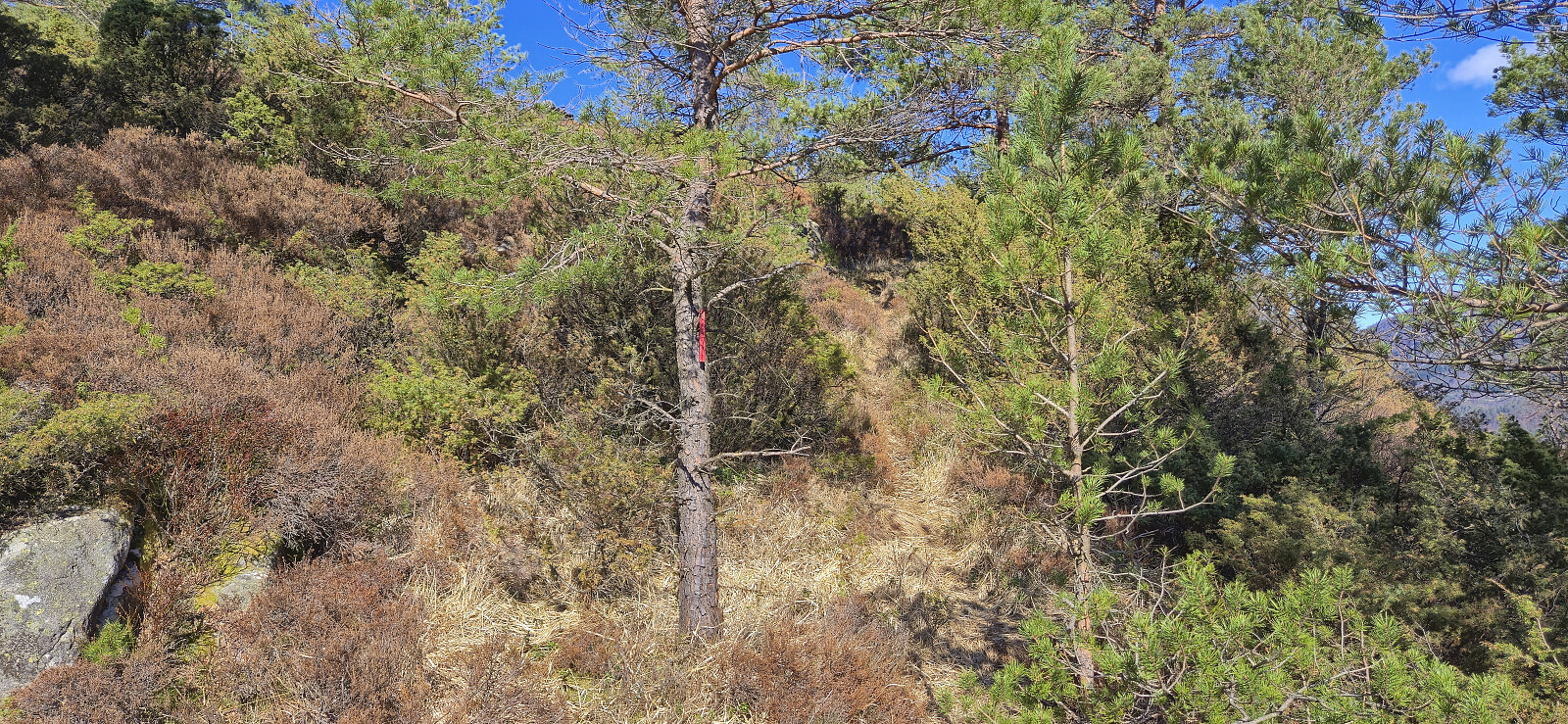
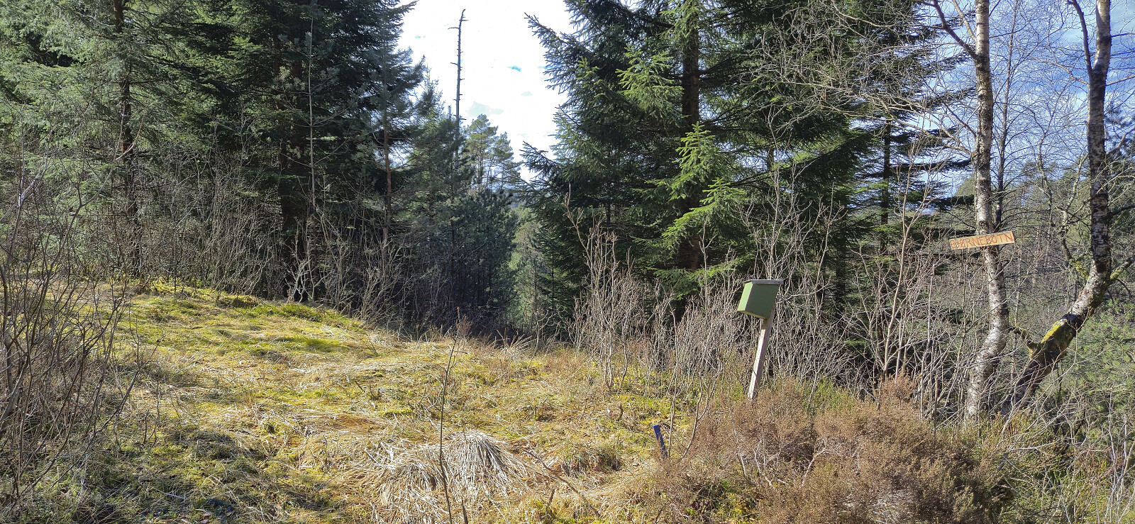
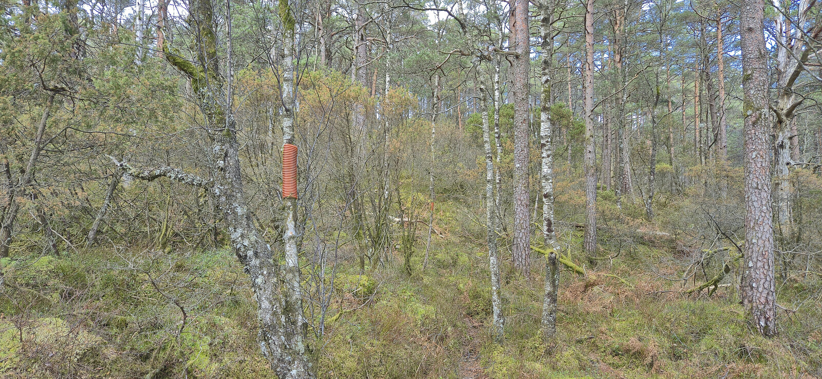
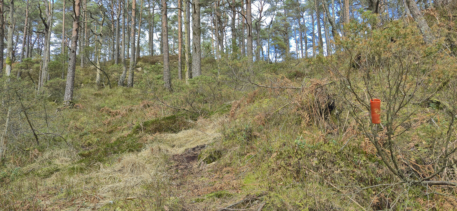
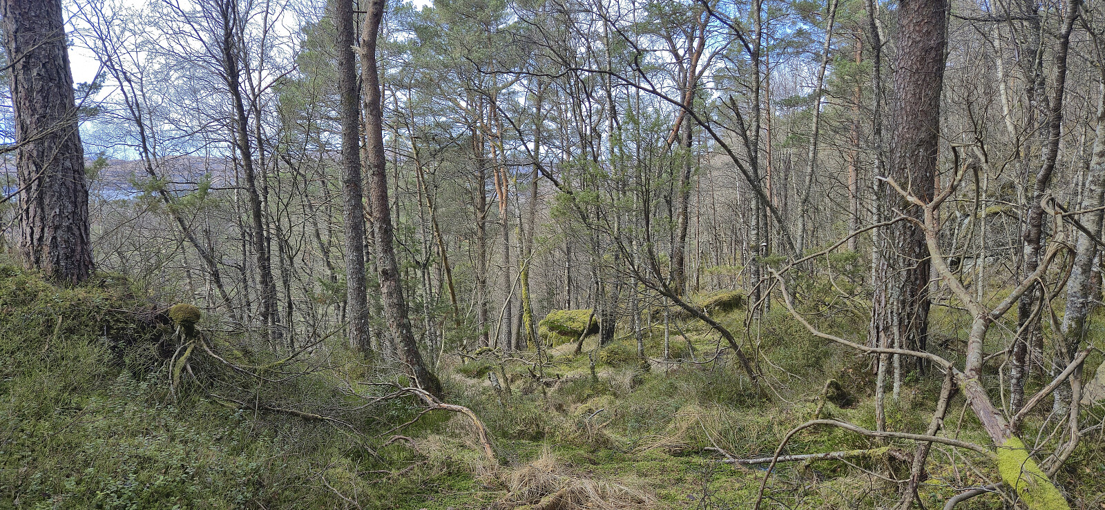
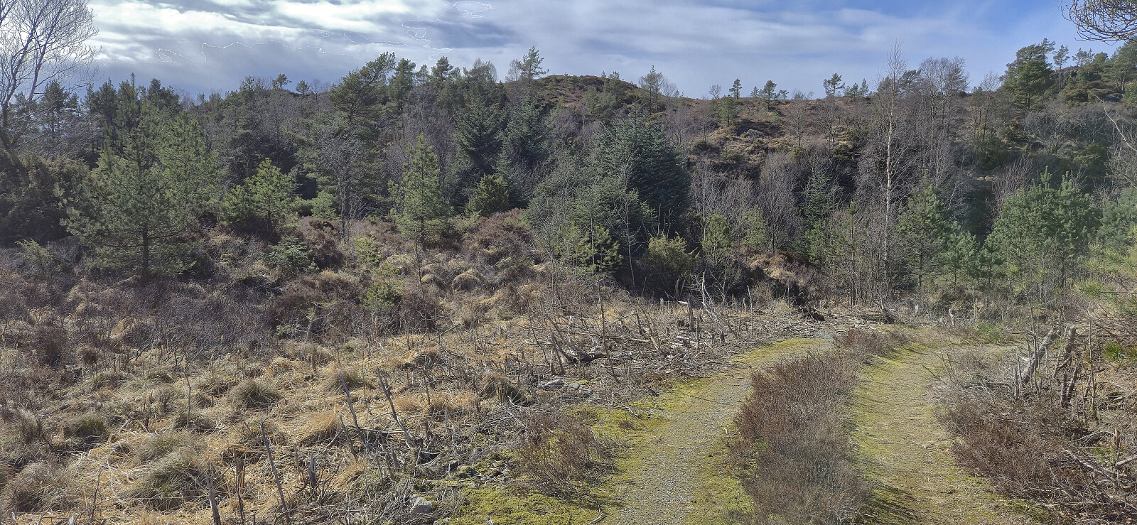
Towards the end of the ascent I had come across what almost looked like a trail. There was even a single red marker! I therefore returned to this location, hoping that I would find more. But this was not the case. When the trail also pretty much disappeared, I simply made my own way south to Bjørnebotnskaret. This was overall easier than expected and soon I arrived at the end of a tractor road. Here there was a visitor register and even trail markers that could be followed to the gravel road south of Eikeliåsen.
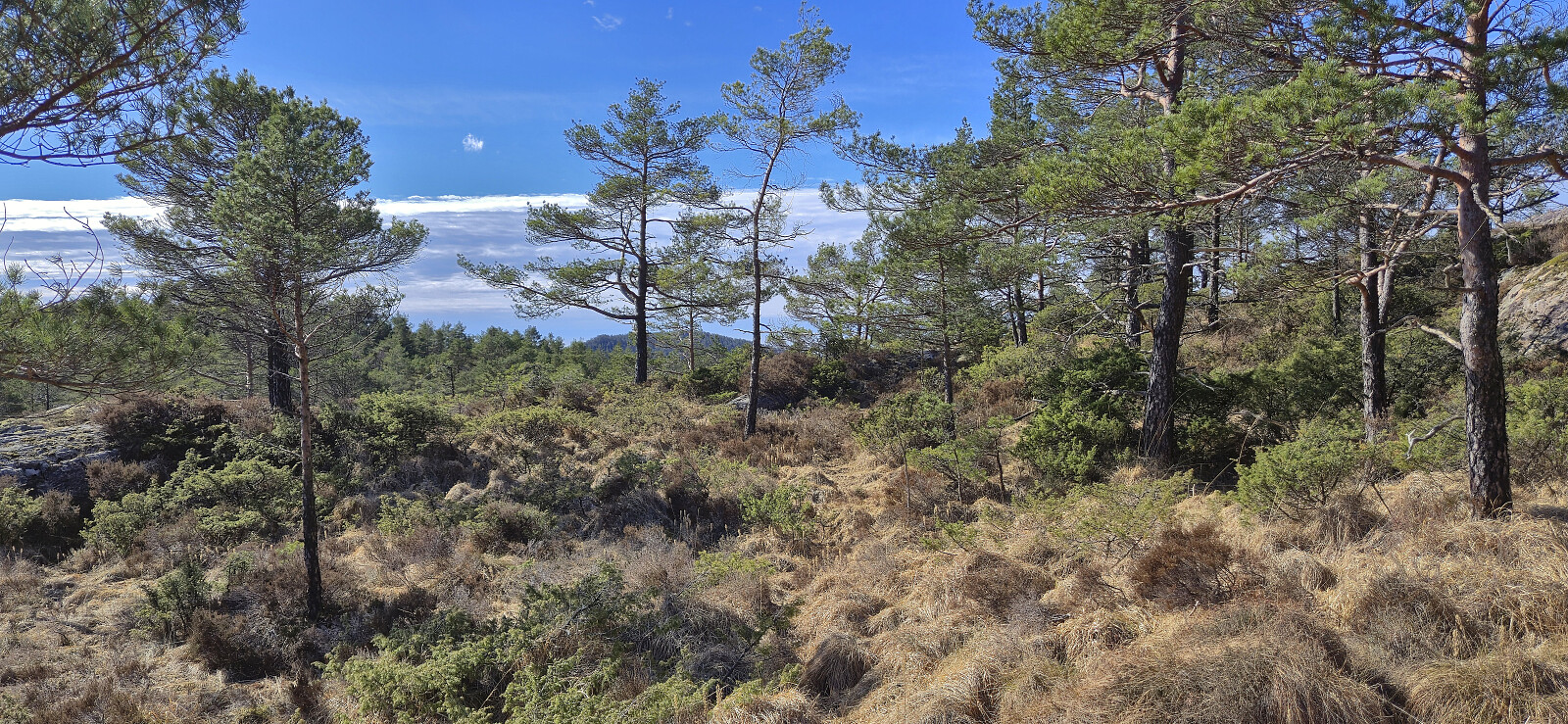
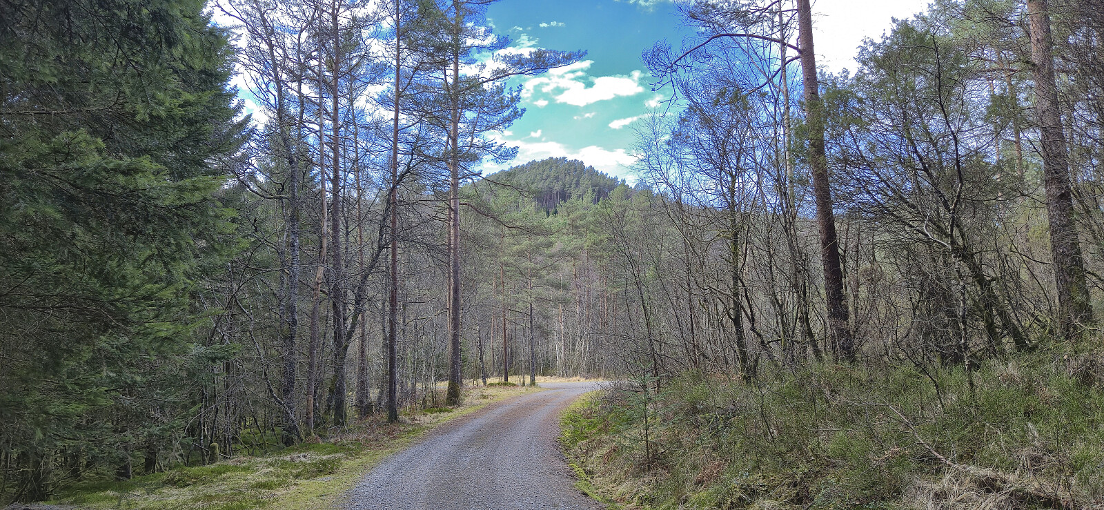
Upon connecting with the gravel road, I proceeded to follow it west towards my final goal: Mosedotten. The gravel road later turned into a tractor road that could be followed almost all the way to the summit. For the final less than 200 meters there was a marked trail. Limited views from the summit and I did not stay long before returning to the tractor road.
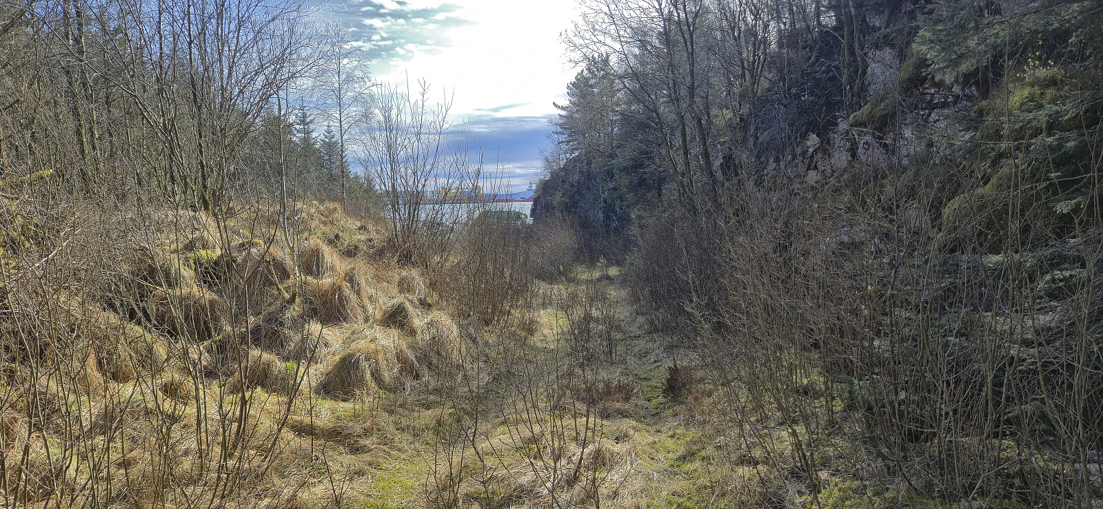
All that was left was to find my way back to Sløvågen. I headed off-trail via various deer tracks and finally connected with the paved road to the west without any real issues. As there was no sidewalk, I went for a shortcut towards the end, although I'm not sure how much time I saved, and in any case, I had around 25 minutes before the ferry arrived.
In summary, a varied hike that included both marked trails and off-trail route-finding. Brattelifjellet was the clear highlight. Mosedotten was straightforward to ascend but provided poor views, while Storeholten was more of a mixed bag, but hopefully someone can find the rest of the marked trail?
| Starttidspunkt | 11.04.2026 09:46 (UTC+01:00 ST) |
| Sluttidspunkt | 11.04.2026 15:21 (UTC+01:00 ST) |
| Totaltid | 5t 35min |
| Bevegelsestid | 5t 06min |
| Pausetid | 0t 28min |
| Snittfart totalt | 2,7km/t |
| Snittfart bevegelsestid | 3,0km/t |
| Distanse | 15,3km |
| Høydemeter | 779m |


Kommentarer