
Ørnahaugen, then back across Gjeddevatnet (01.02.2026)

Skrevet av HHauser (Helwig Hauser)

| Startsted | Varden (45moh) |
|---|---|
| Sluttsted | Varden (45moh) |
| Turtype | Fjelltur |
| Turlengde | 2t 00min |
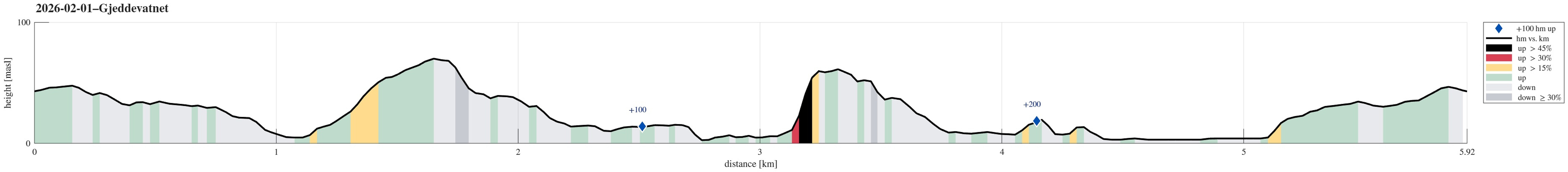
| Distanse | 5,9km |
| Høydemeter | 261m |
| GPS |
|
| Bestigninger | Ørnahaugen (66moh) | 01.02.2026 |
|---|

Trip Summary
Yet again we just wished to go for a short walk. We started into the direction of Knappen, but decided to aim northwards, instead, this time. Just walking along the streets around Bjørgedalen, we made it to Kjerreidvika. We then thought that we could use the wintery conditions to ascend to Ørnahaugen via its steep southeastern side. This worked out well. We then descended back down from Ørnahaugen towards the east (Sæleidet). We then thought that we could use the icy lake cover of Bjørndalsvatnet to get over to Elvareidet without disturbing the people living there. On the other side, we first tried to get up this rather narrow valley north of Elvareidet. Since we encountered too much ice there, however, we abandoned this plan. Instead, we then thought that it would be something special to cross over Gjeddevatnet back to Varden. The thick layer of ice on the lake made this possible. Definitely unsual! :-)
Photos
Selected photos are available as Google photo album.
Useful Resources
See also the related FB-page Hiking around Bergen, Norway.


Kommentarer