
Lifjellet (30.11.2025)

Skrevet av hbar (Harald Barsnes)

| Startsted | Vassvikdalen (83moh) |
|---|---|
| Sluttsted | Vassvikdalen (83moh) |
| Turtype | Fjelltur |
| Turlengde | 0t 42min |
| Distanse | 2,0km |
| Høydemeter | 160m |
| GPS |
|
| Bestigninger | Lifjellet (240moh) | 30.11.2025 12:59 |
|---|
Lifjellet
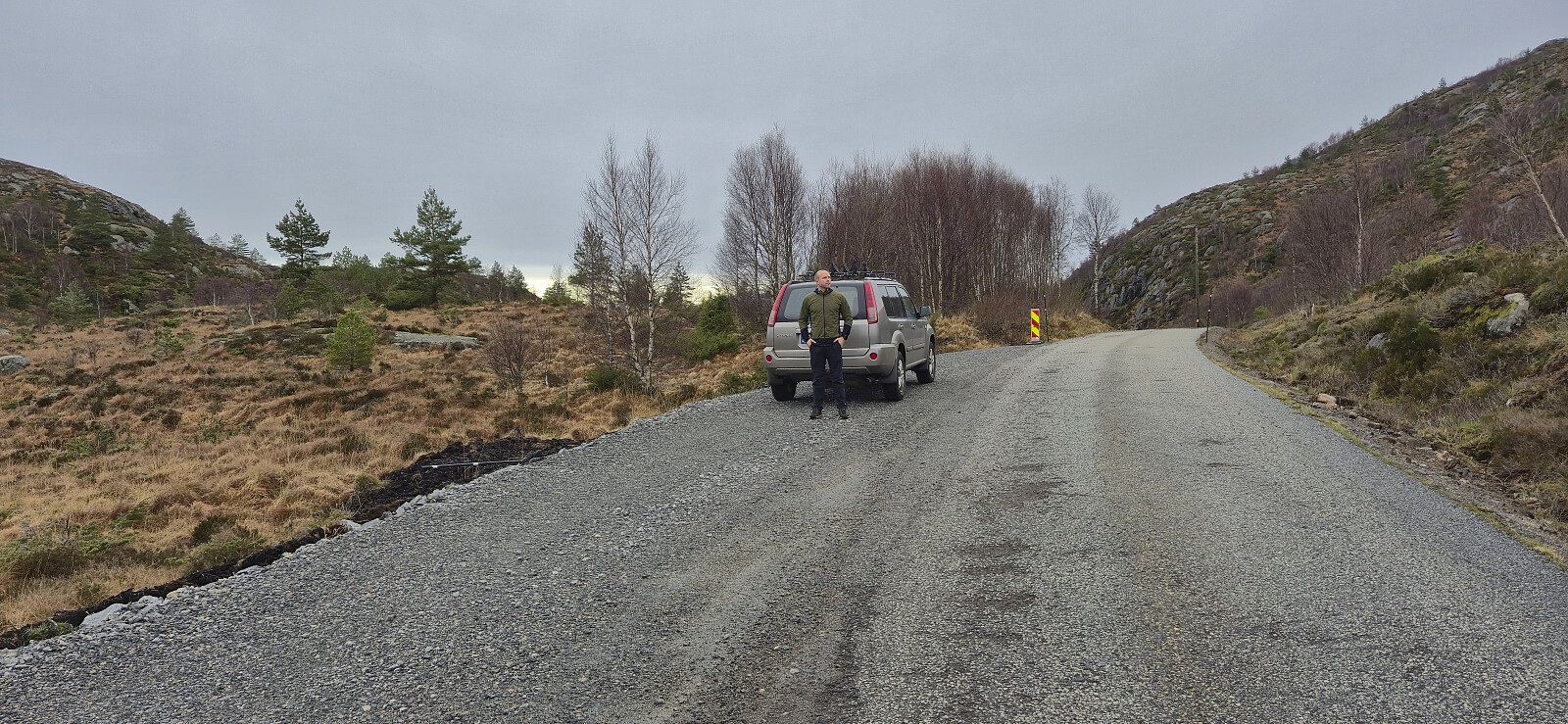
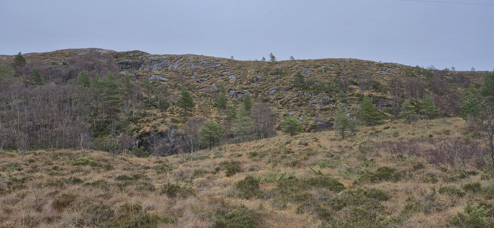
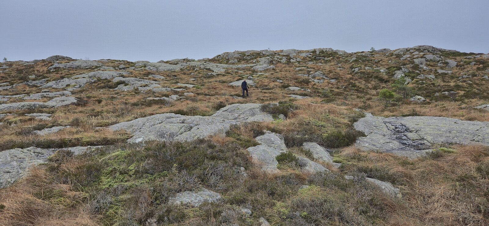
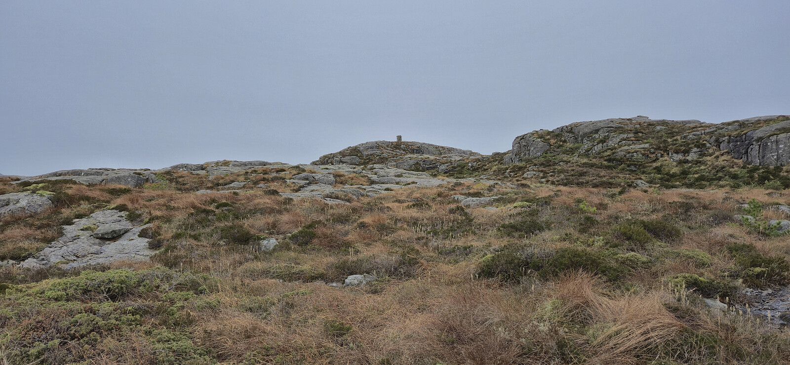
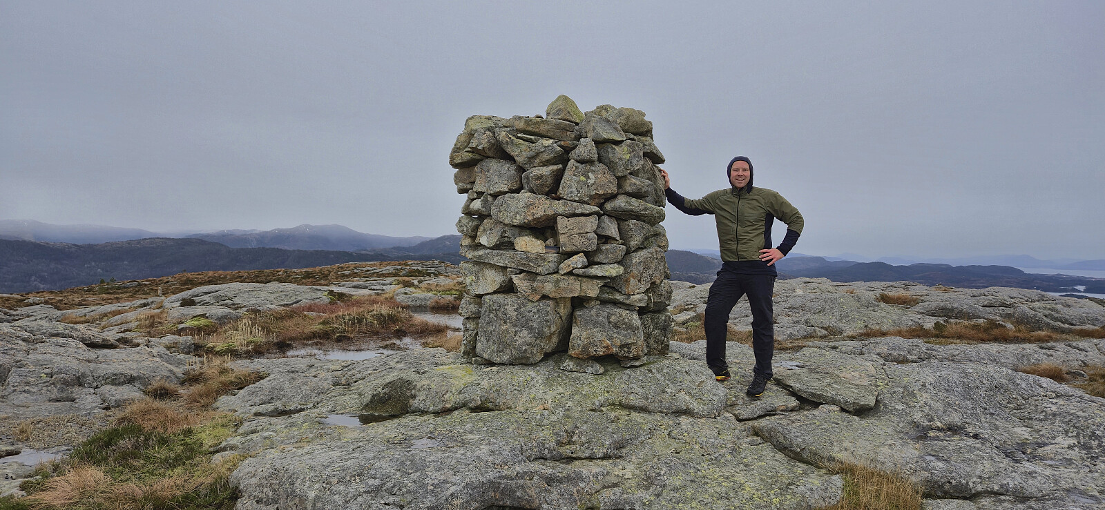
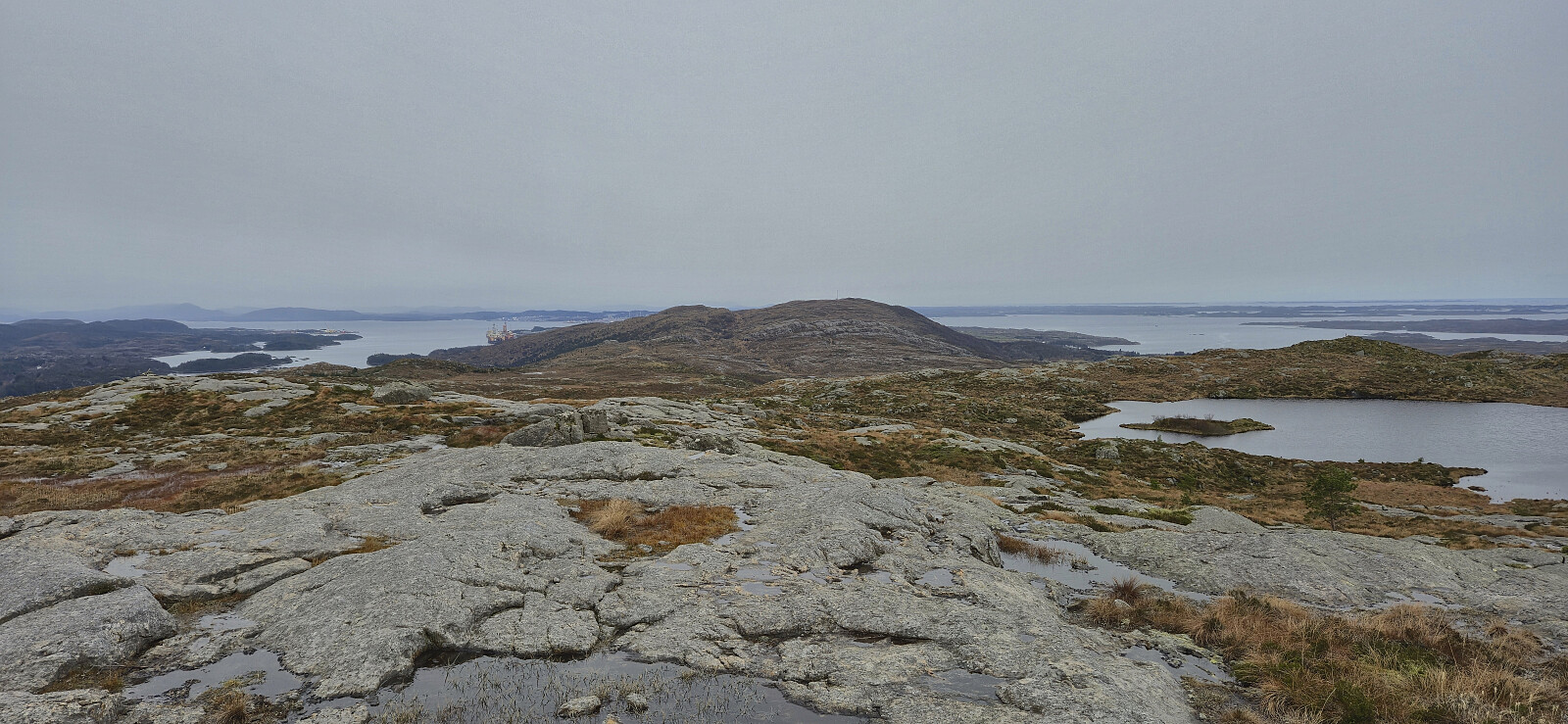
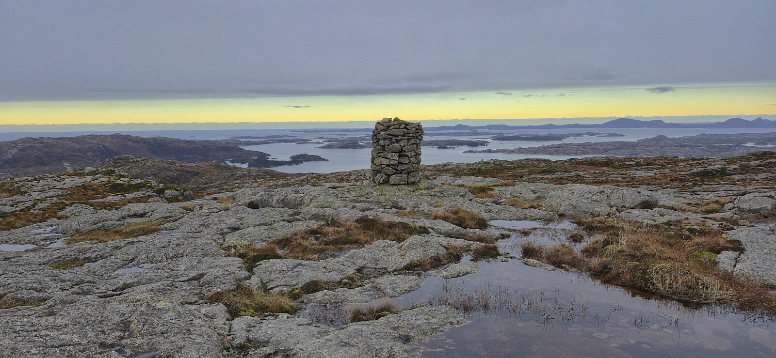
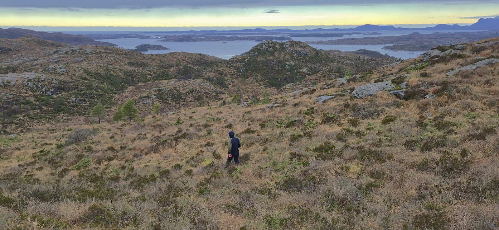
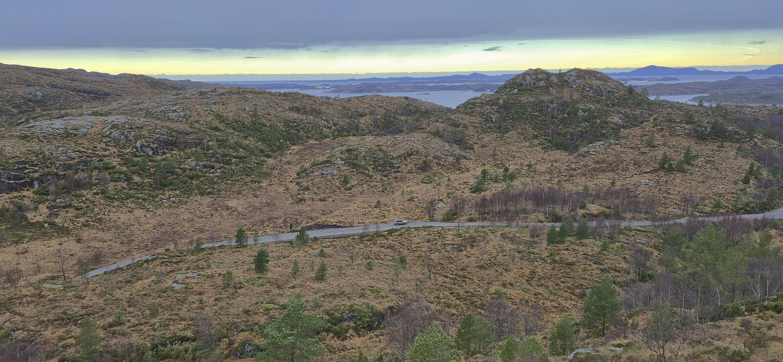
Having successfully ascended Piltevarden, we drove the short distance east to Vassvikdalen. Here we easily found parking next to the road due to a longer section where the road had recently been made wider. As we did not know of any trails to Lifjellet, we simply headed off-trail in the direction of the summit, and besides the first section being a bit cumbersome we later arrived at the summit without any real challenges. The exact location of the highest point was not obvious but it had to be in the area near the large cairn, hence we just visited all of the most likely candidates.
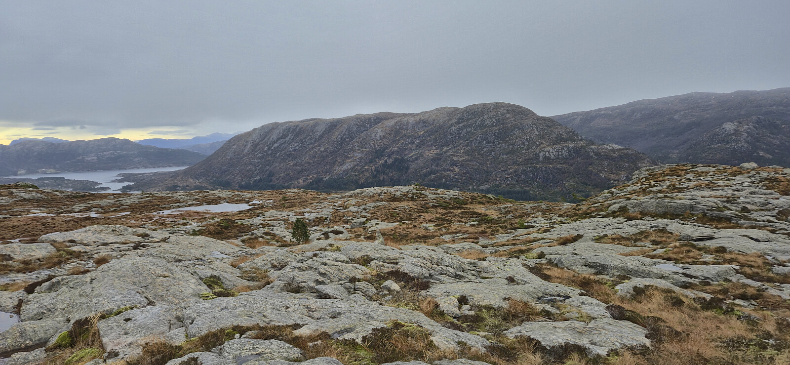
During our ascent we had noticed a couple of small cairns north of where we ascended and perhaps some faint traces of a trail, but as there was no real difference we ended up following the same route as used for the ascent. It should however be noted that at the summit we came across a trail marked with red plastic sticks coming up from the north, but where this trail begins is unclear. Back in the car, we drove the short distance south to ascend Midtbøfjellet.
| Starttidspunkt | 30.11.2025 12:38 (UTC+01:00) |
| Sluttidspunkt | 30.11.2025 13:20 (UTC+01:00) |
| Totaltid | 0t 42min |
| Bevegelsestid | 0t 39min |
| Pausetid | 0t 3min |
| Snittfart totalt | 2,8km/t |
| Snittfart bevegelsestid | 3,1km/t |
| Distanse | 2,0km |
| Høydemeter | 160m |


Kommentarer