
Herdabreida and Kistenuten from Øyaset (27.09.2025)

Skrevet av hbar (Harald Barsnes)

| Startsted | Bordalsallmeningen v/Øyaset (612moh) |
|---|---|
| Sluttsted | Bordalsallmeningen v/Øyaset (612moh) |
| Turtype | Fjelltur |
| Turlengde | 5t 09min |
| Distanse | 11,8km |
| Høydemeter | 964m |
| GPS |
|
| Bestigninger | Herdabreida (1240moh) | 27.09.2025 14:43 |
|---|---|---|
| Kistenuten (1124moh) | 27.09.2025 16:42 | |
| Andre besøkte PBE'er | Bordalsallmenningen (447moh) | 27.09.2025 12:48 |
| Øyaset (617moh) | 27.09.2025 13:12 | |
| Kistenuten Øst (1116moh) | 27.09.2025 17:03 |
Herdabreida and Kistenuten from Øyaset
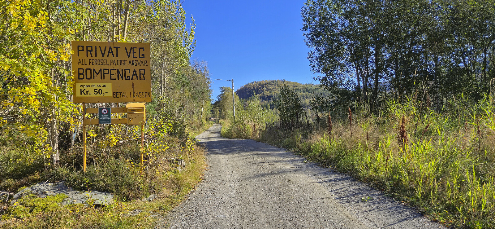
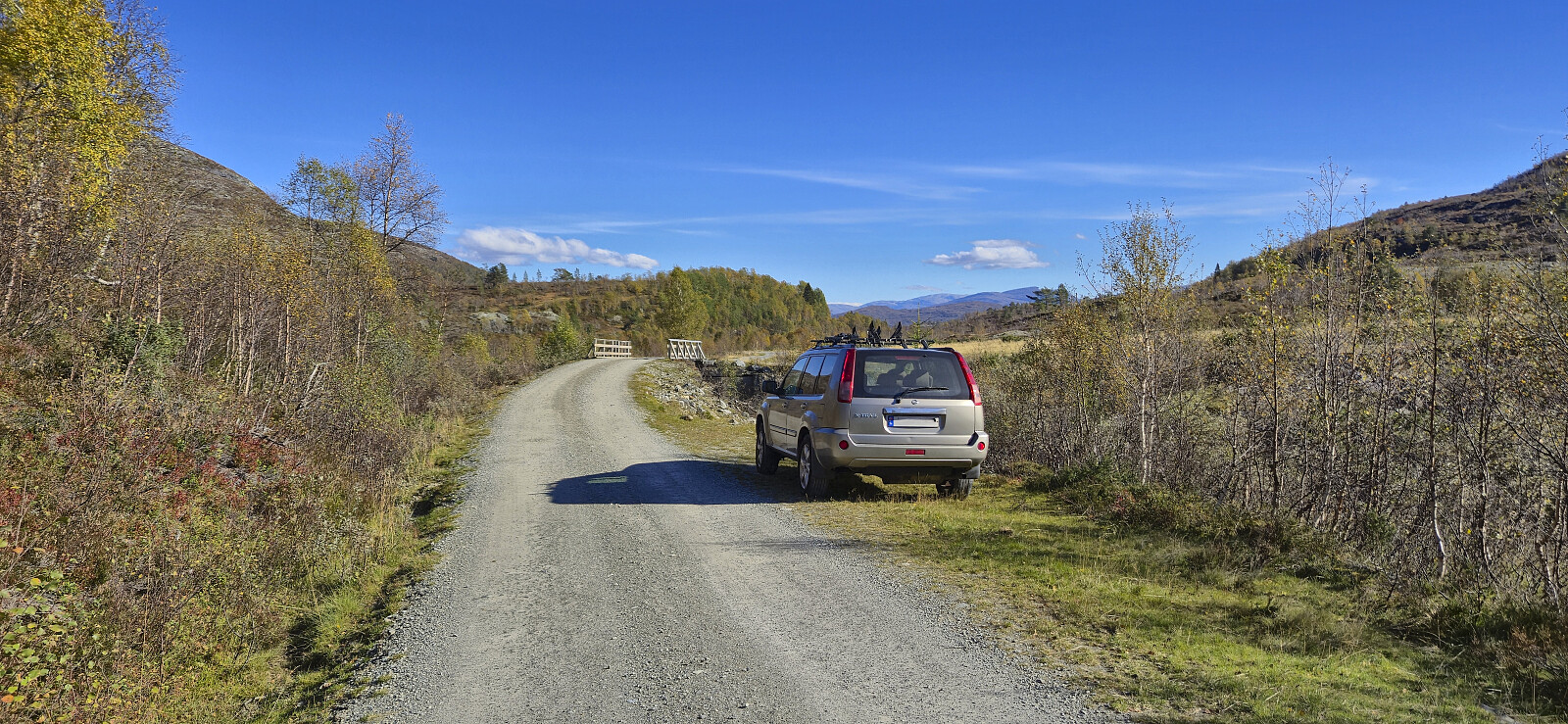
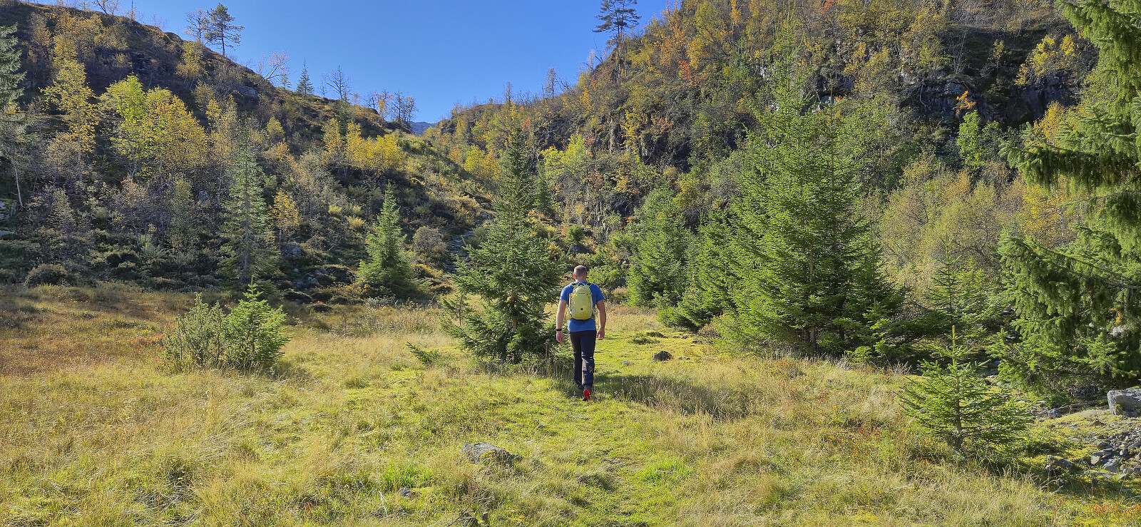
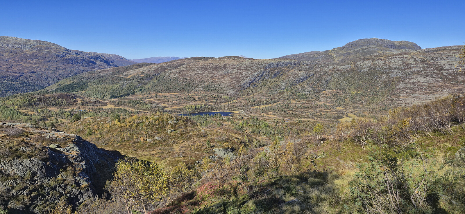
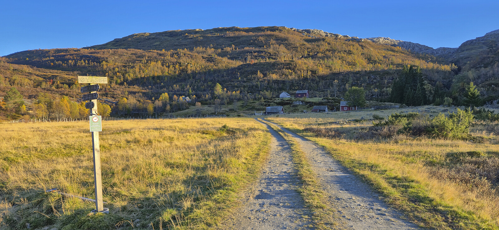
After our ascent of Eggjane, we drove the short distance southeast to Øyaset where we found parking next to the road. Note that the use of the gravel road from Rong to Øyaset requires you to pay a fee of 50 kr. This can be paid by Vipps, however there was no cell phone reception at the start of the gavel road nor at Øyaset, and we therefore did not manage to pay until halfway up the first ascent.
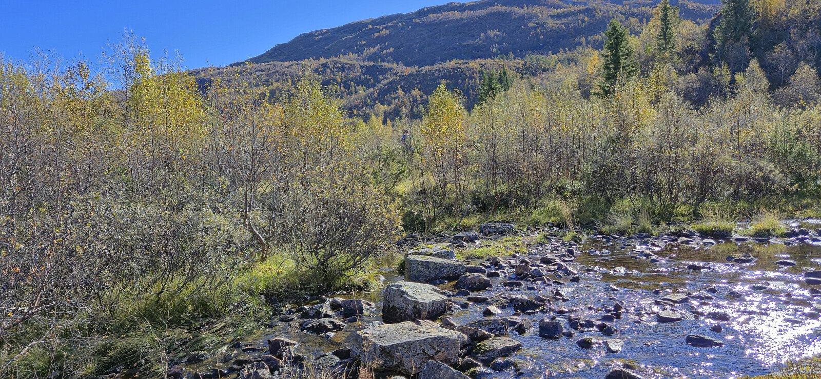
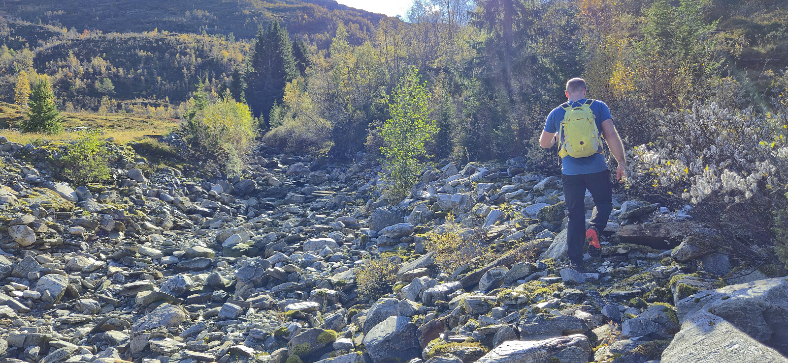
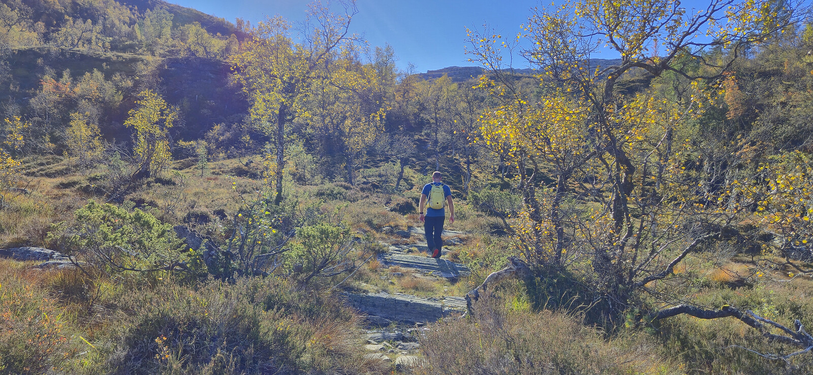
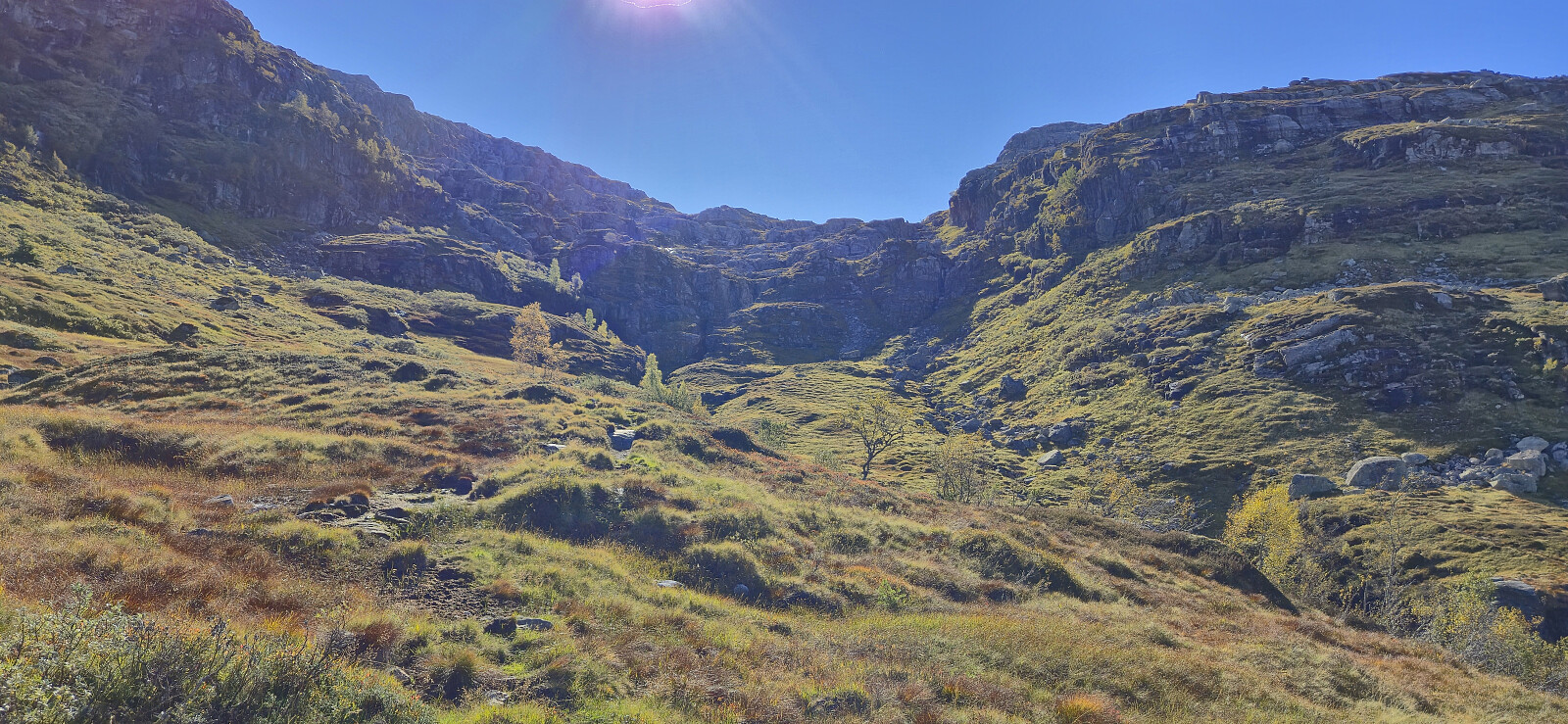
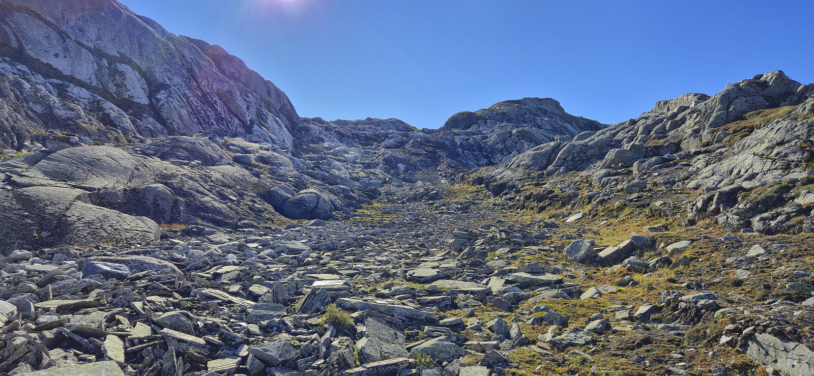
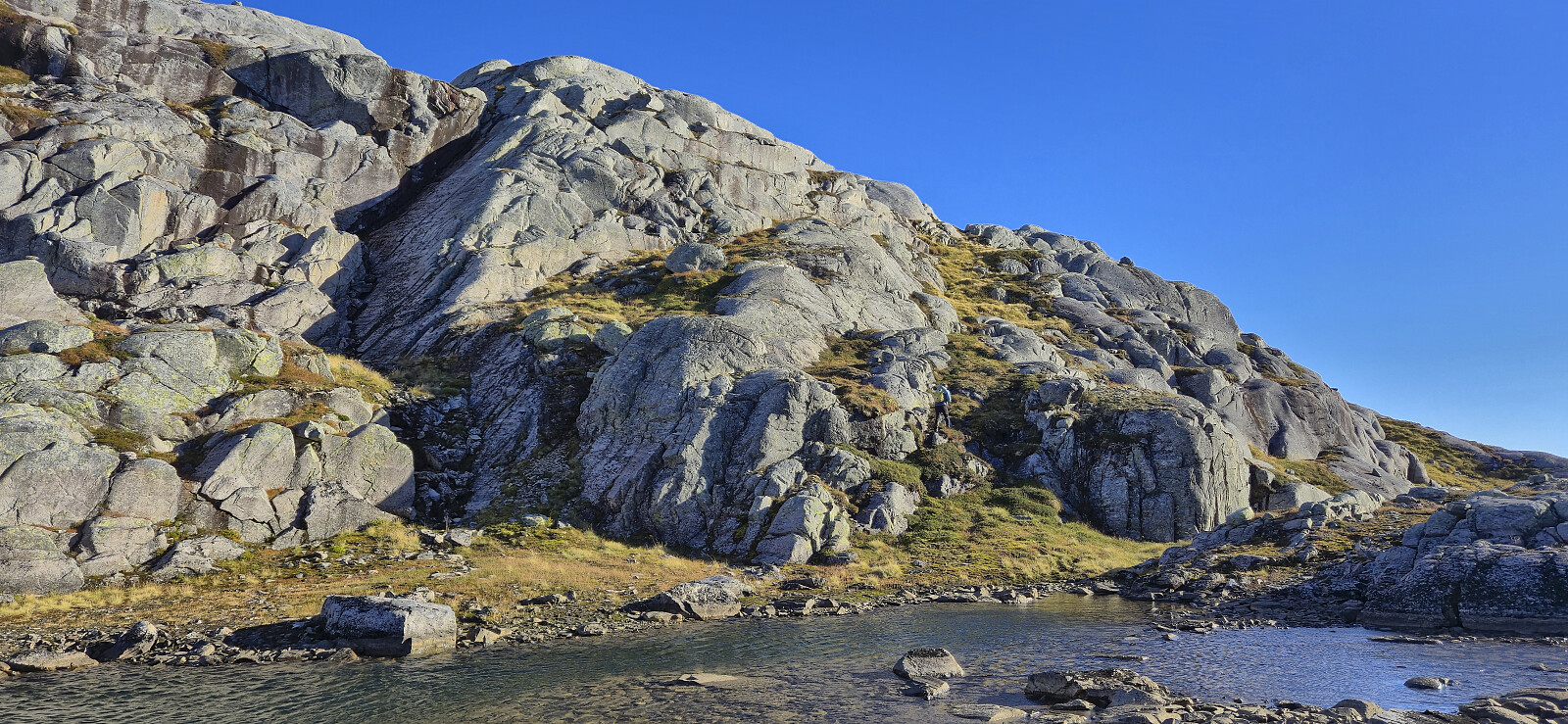
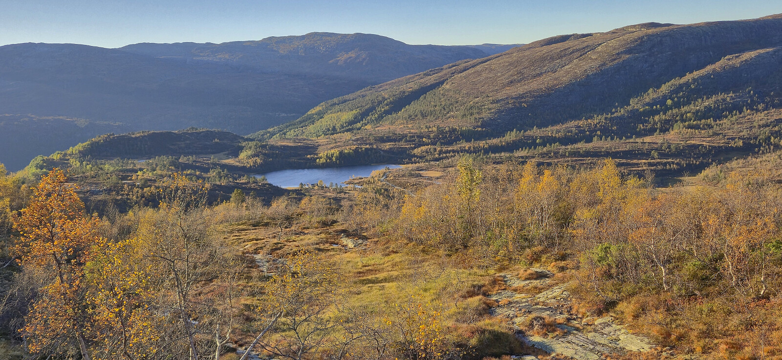
Our initial plan had been to ascend off-trail on the westside of Kaldåni, but after easily crossing the small river from Furevatnet we got a better look at the terrain and decided to abandon that idea. Briefly we considered following the dry Kaldåni but quickly gave up on that idea as well and instead started on a trail east of it. This turned out to be a very good choice as this trail would take us all the way to the top of the steep gorge made by the river and thus provide us with a very easy first half of the ascent.
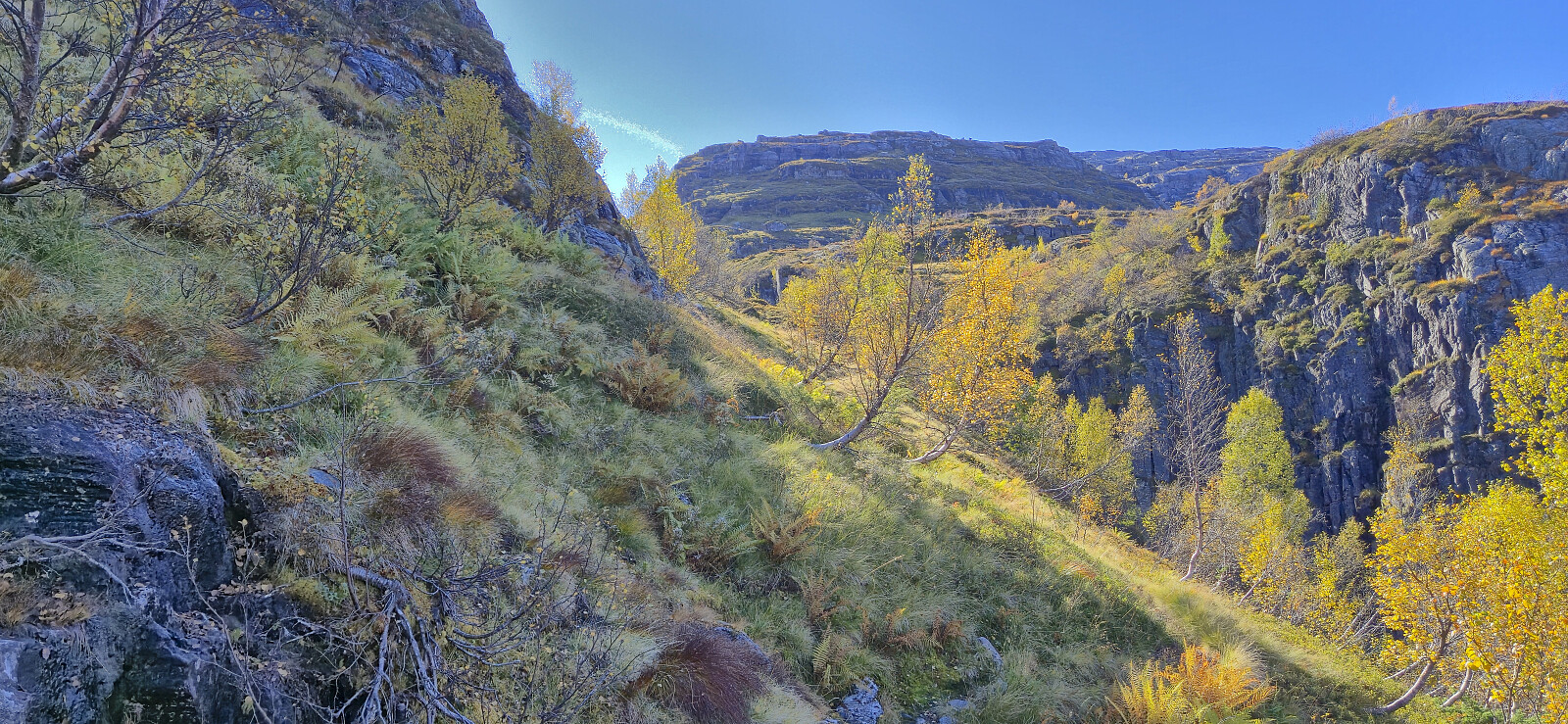
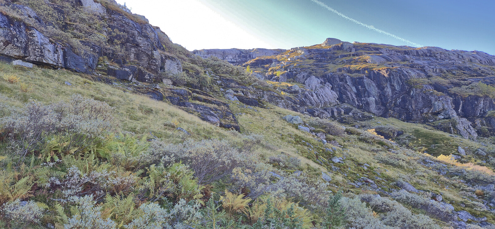
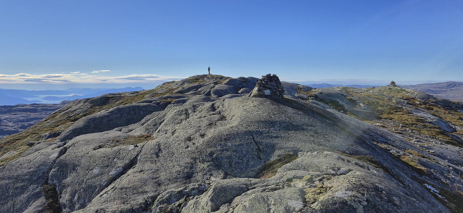
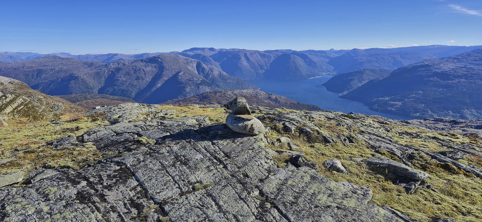
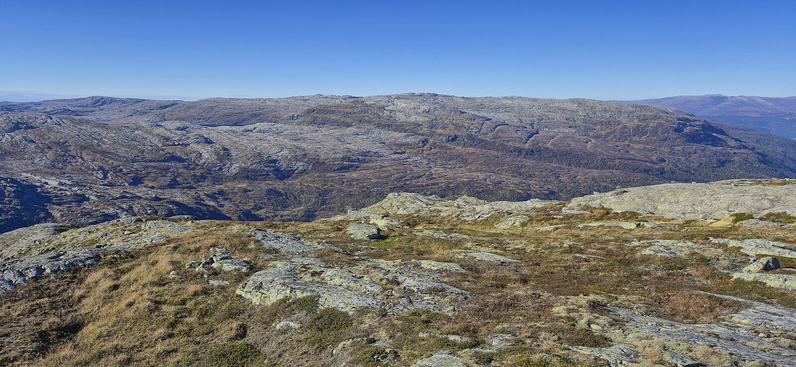
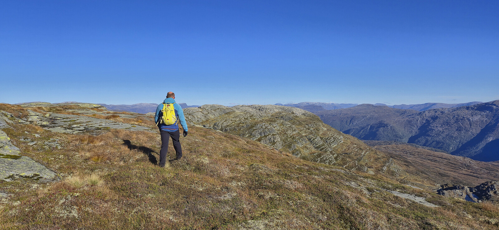
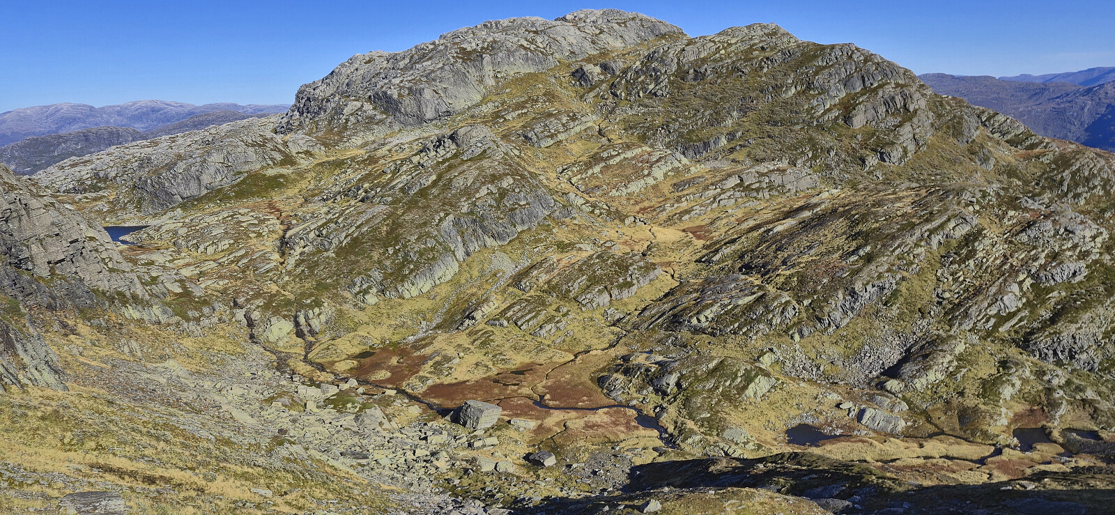
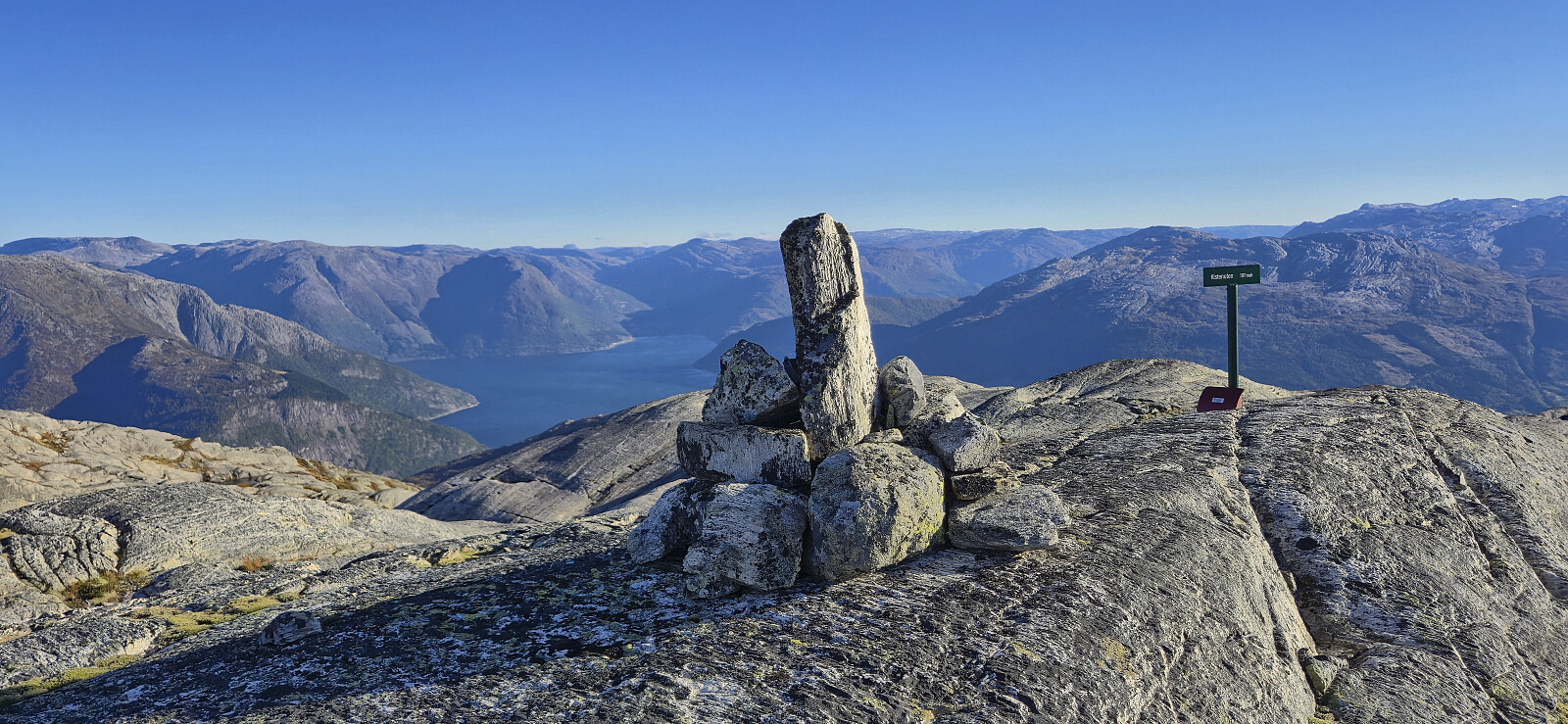
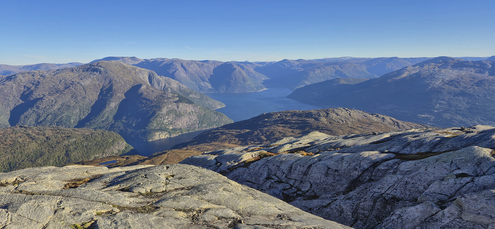
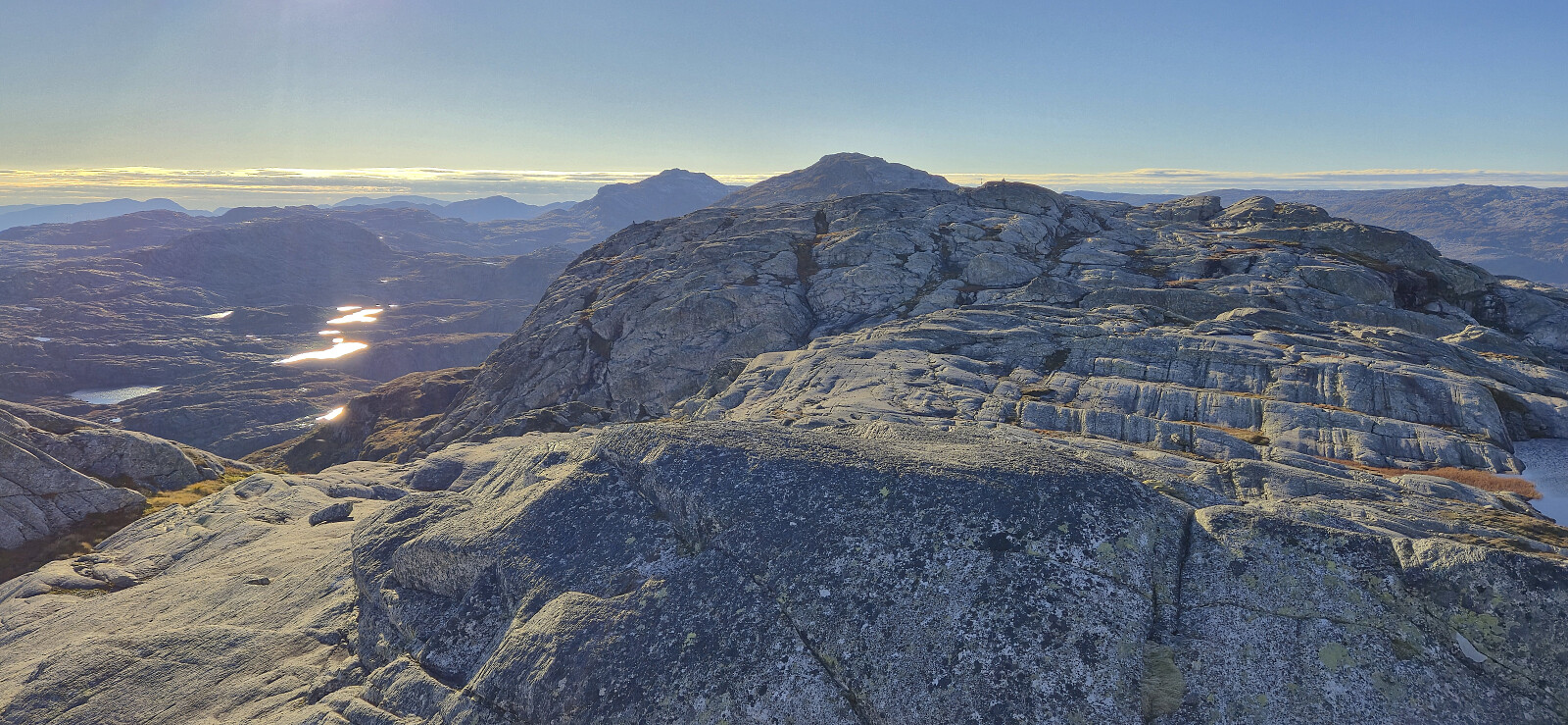
When the trail, which at this point had turned rather weak, started descending west, we headed off-trail to the summit of Herdabreida. This required some route-finding but otherwise did not present any real challenges. The summit of Herdabreida provided excellent views but once more the strong and cold wind made for a short visit. Note that this summit was previously referred to as Grim, but given the Herdabreida sign at the largest cairn, and the fact that Herdabreida is the name showing up if zooming in on the map, I have now renamed the peak.
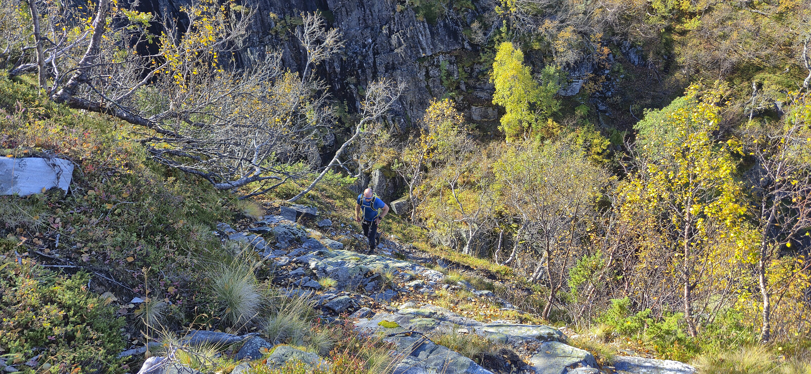
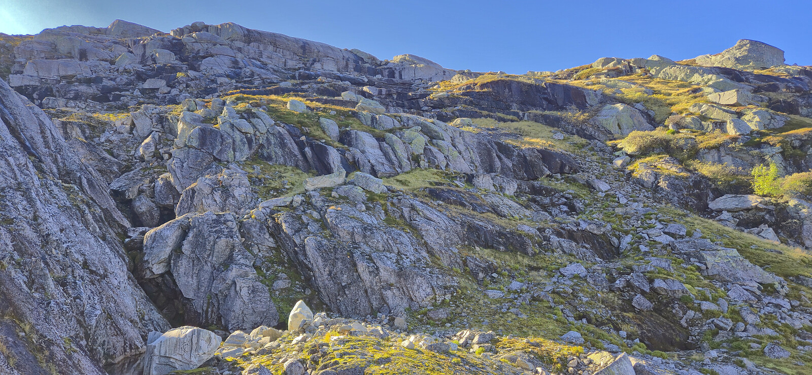
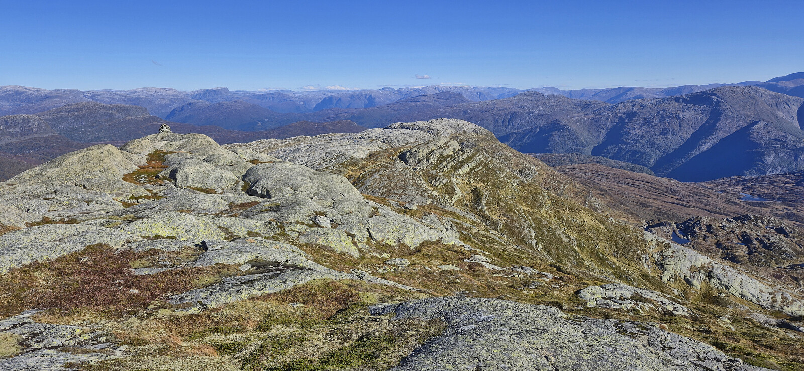
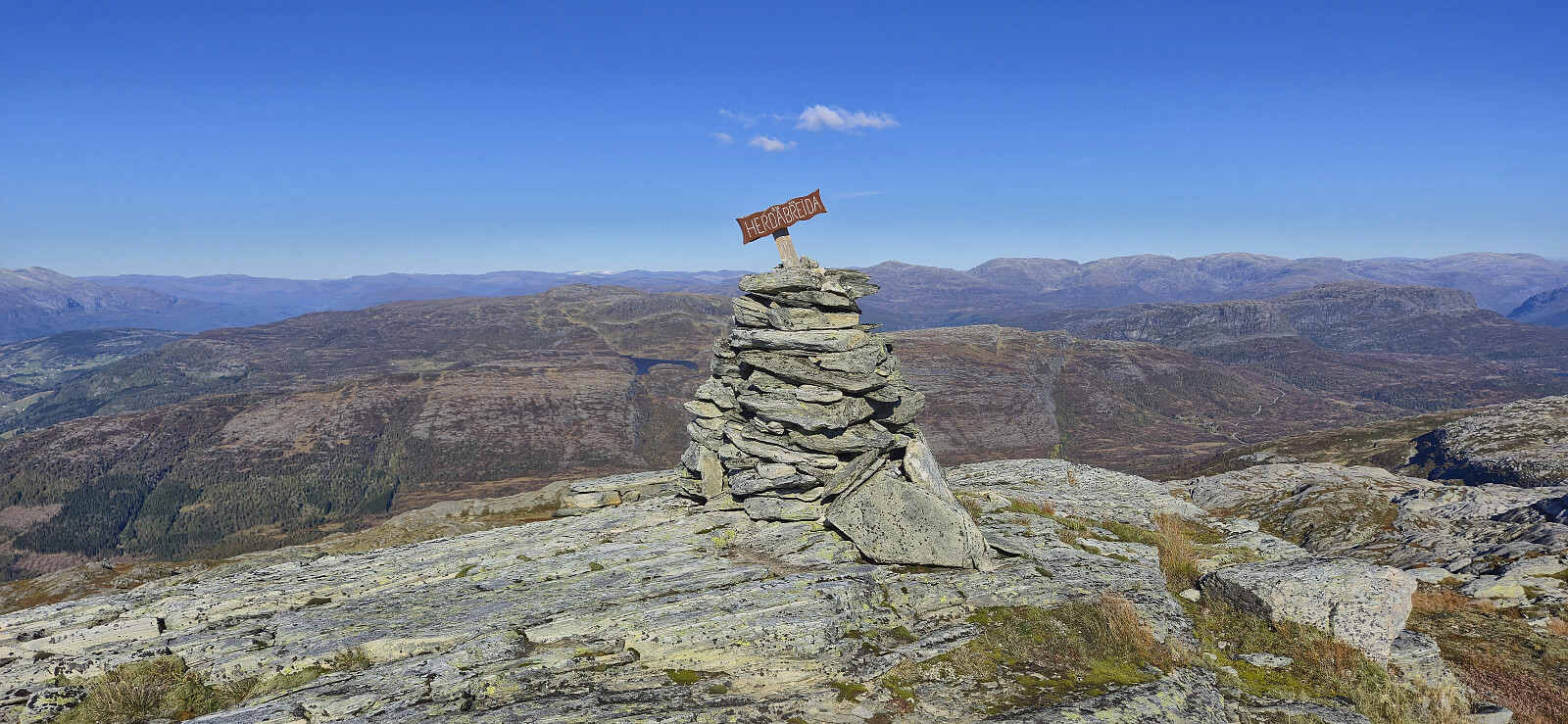
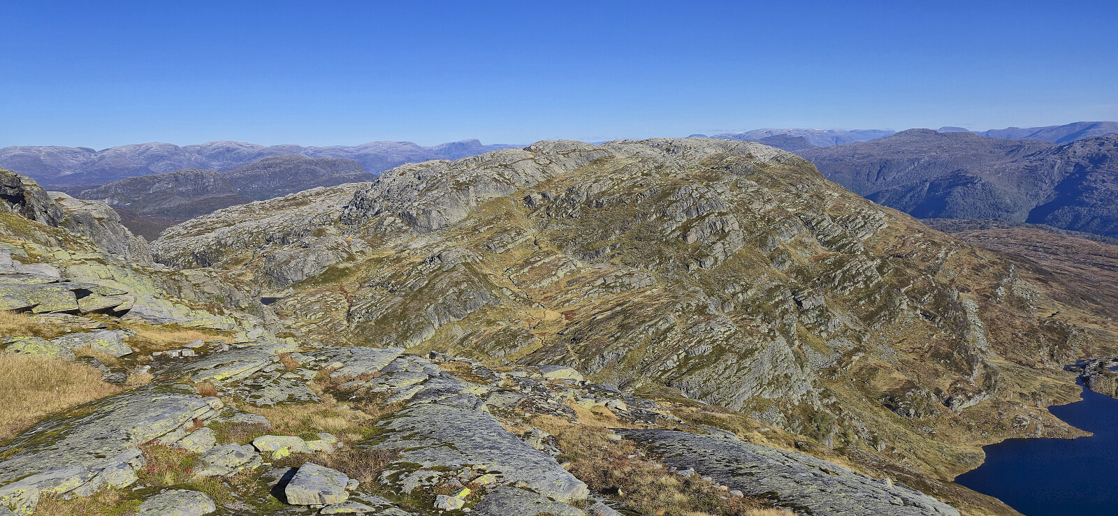
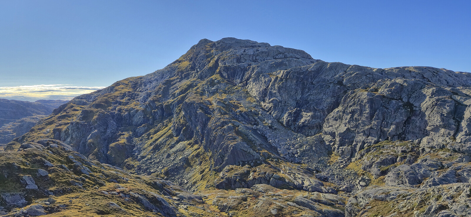
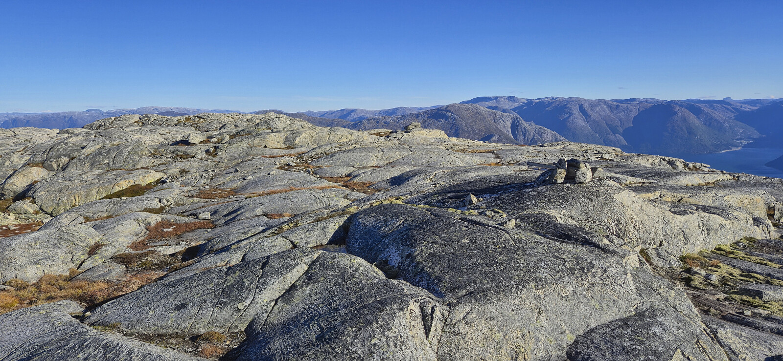
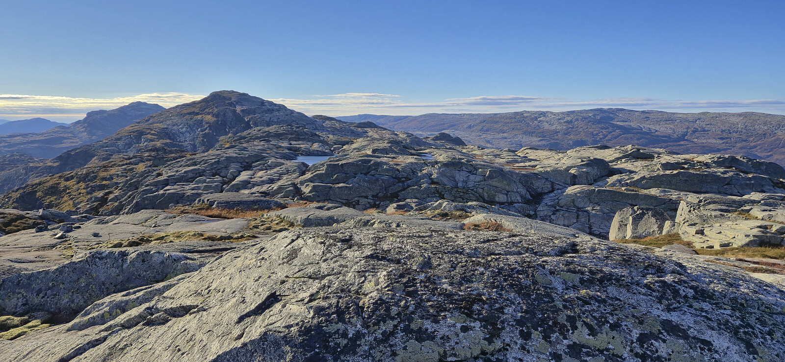
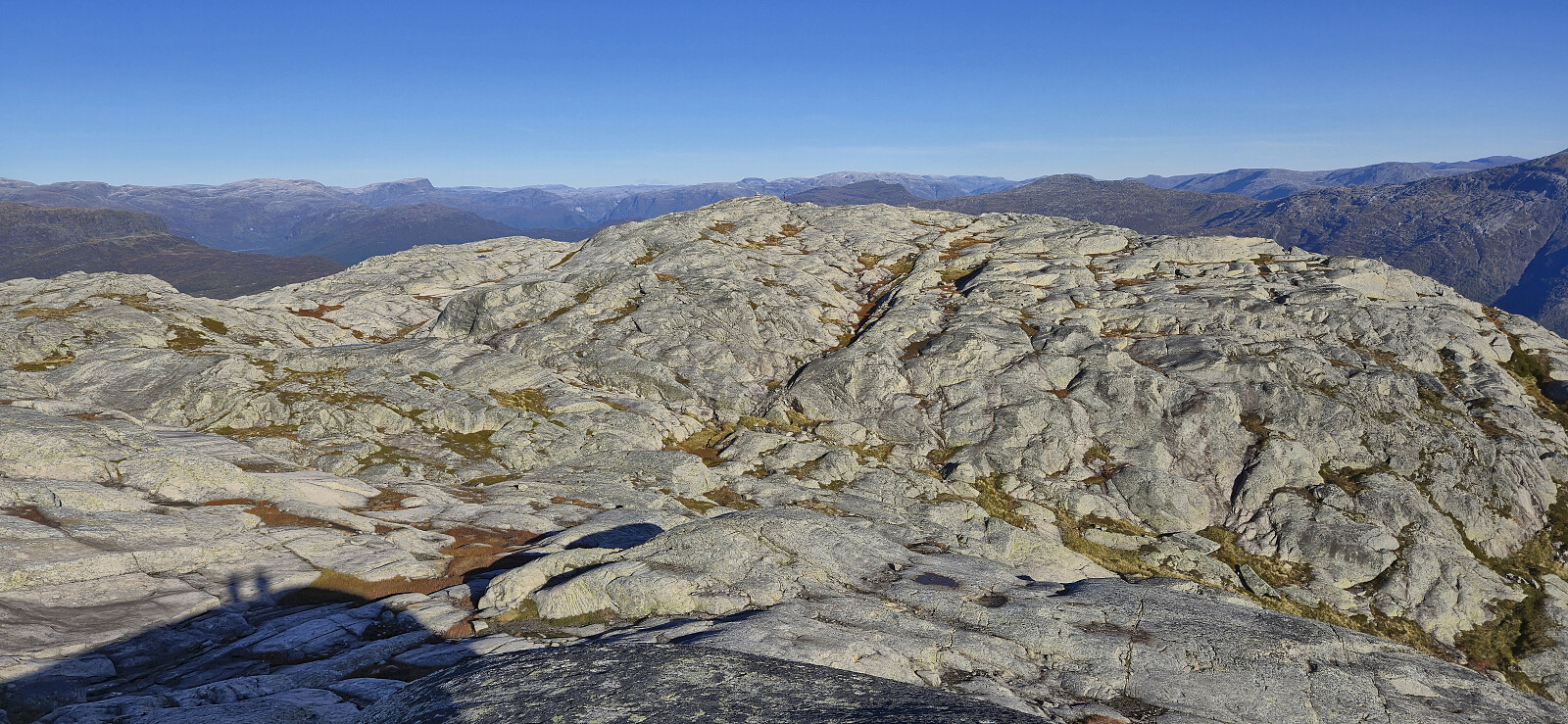
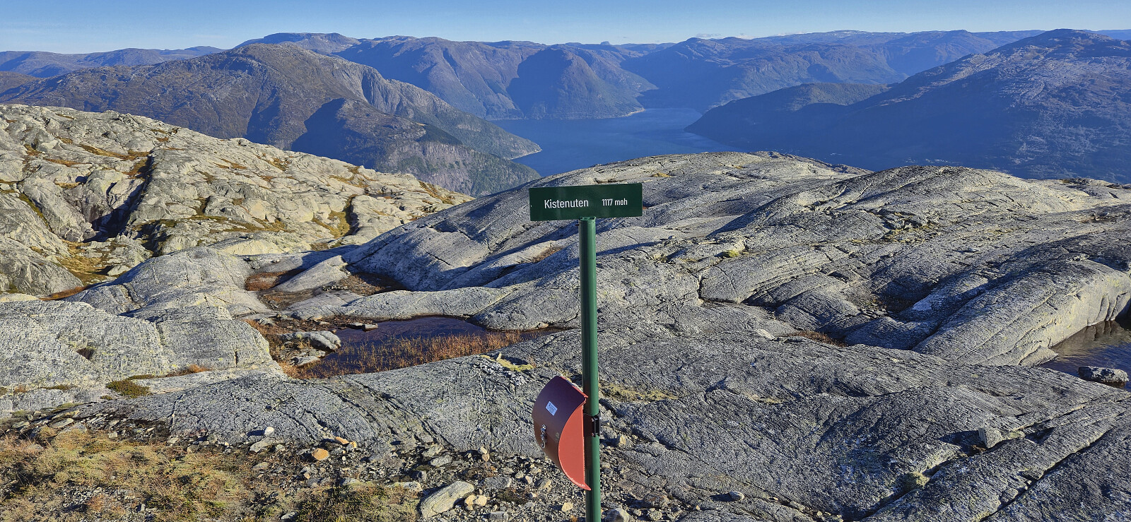
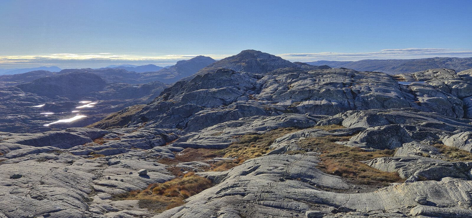
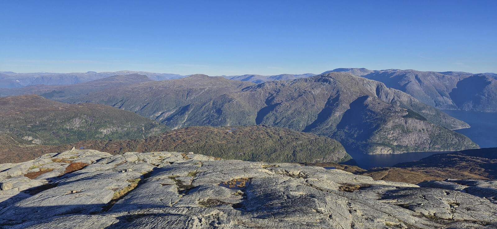
From the summit we returned east before descending south of the 1204 peak and then descended east towards the valley between Herdabreida and Kistenuten. This was overall straightforward and we could soon start the ascent to Kistenuten, which also did not present any issues. Kistenuten consists of many small peaks with similar heights. We therefore simply visited all of them on our way to the highest point. Note that Kistenuten was previously referred to as Herdabreida, but given the Kistenuten sign at the summit, the name has now been changed, even though on the map Kistenuten is indicated as the next peak to the east. To make matters even more confusing the sign at the highest point says "Kistenuten 1117", even though the actual height is 1124...
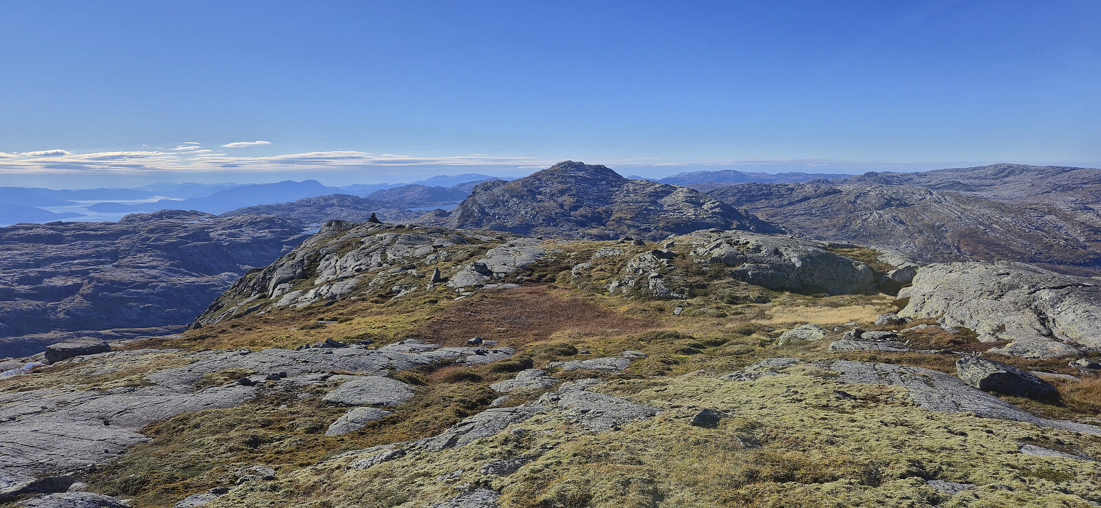
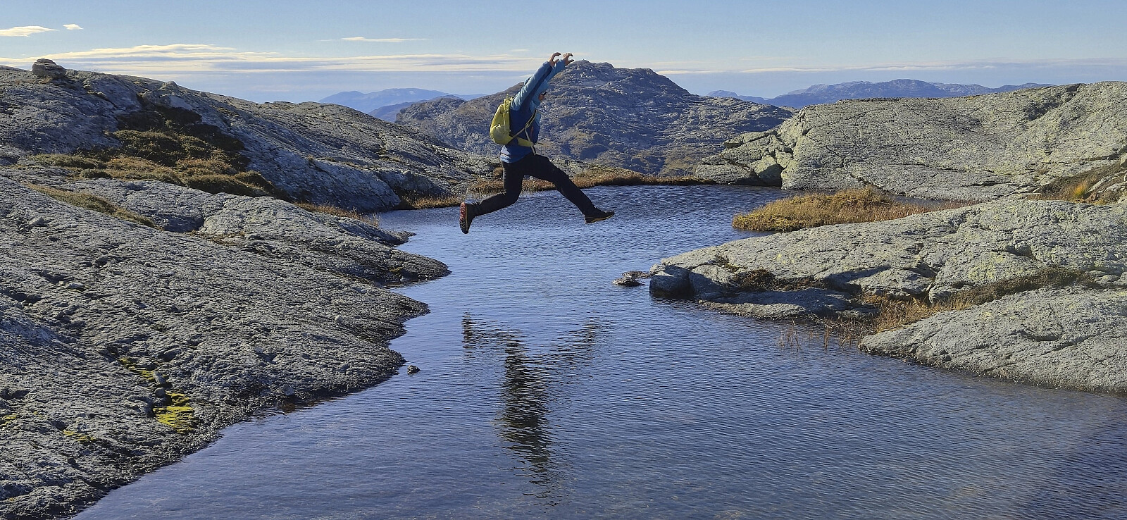
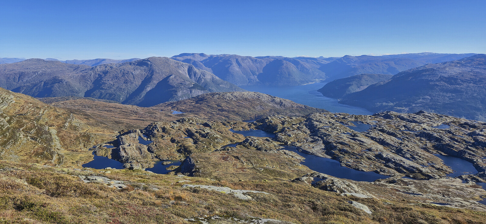
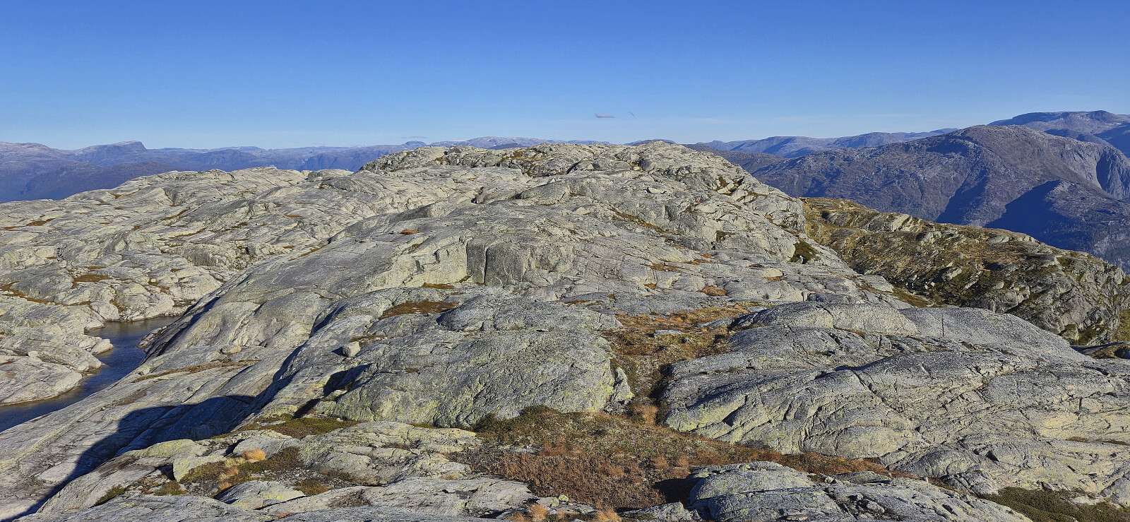
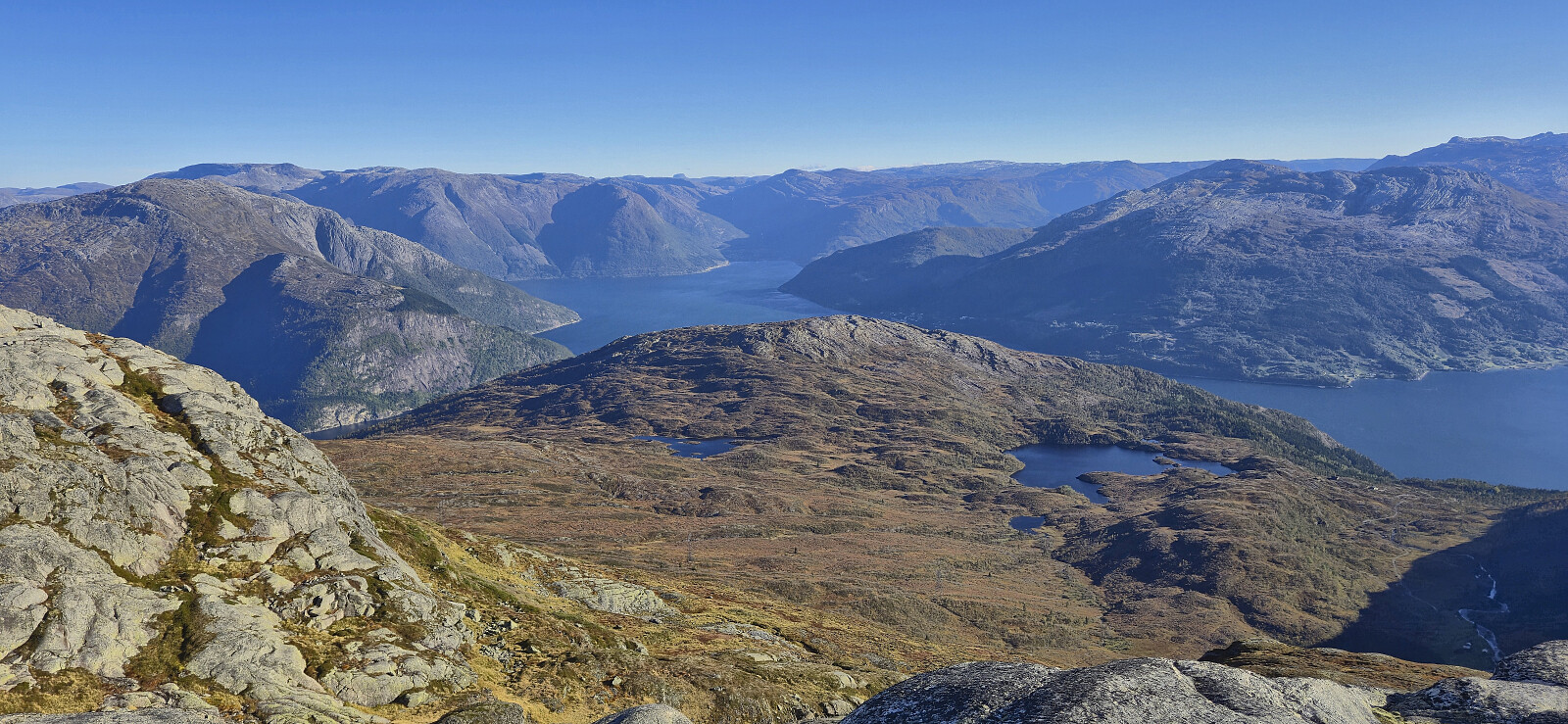
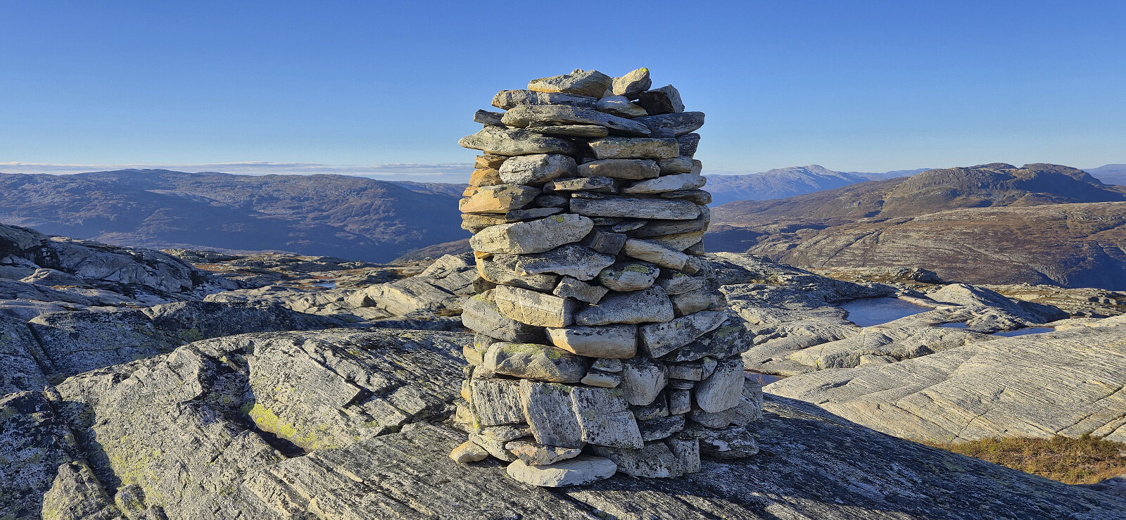
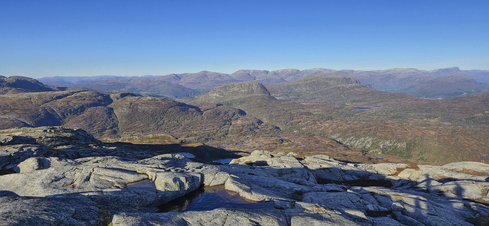
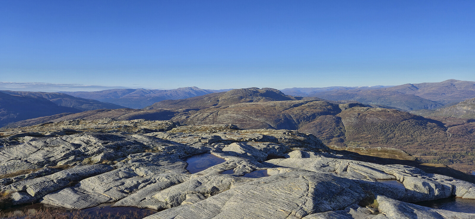
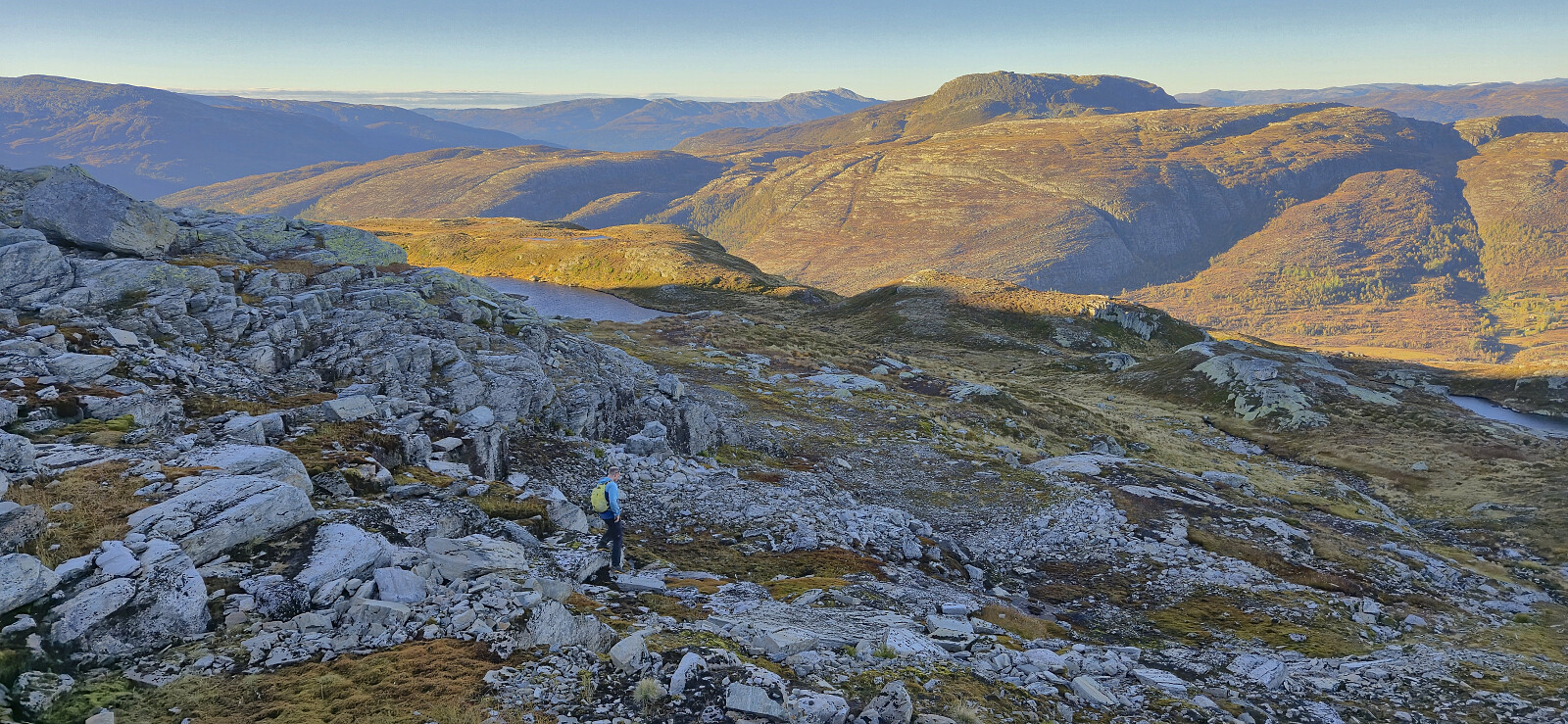
To ensure that we had also visited the actual "Kistenuten 1117", we made a short detour to the eastern summit, now added as a vantage point, before starting our off-trail descent. At first, the descent required careful route-finding but after reaching the 1034 lake the rest of the descent was straightforward and we even connected with a trail towards the end. Upon returning to Øyaset, we off course improved on our ascent route by following the gravel road back to the car.
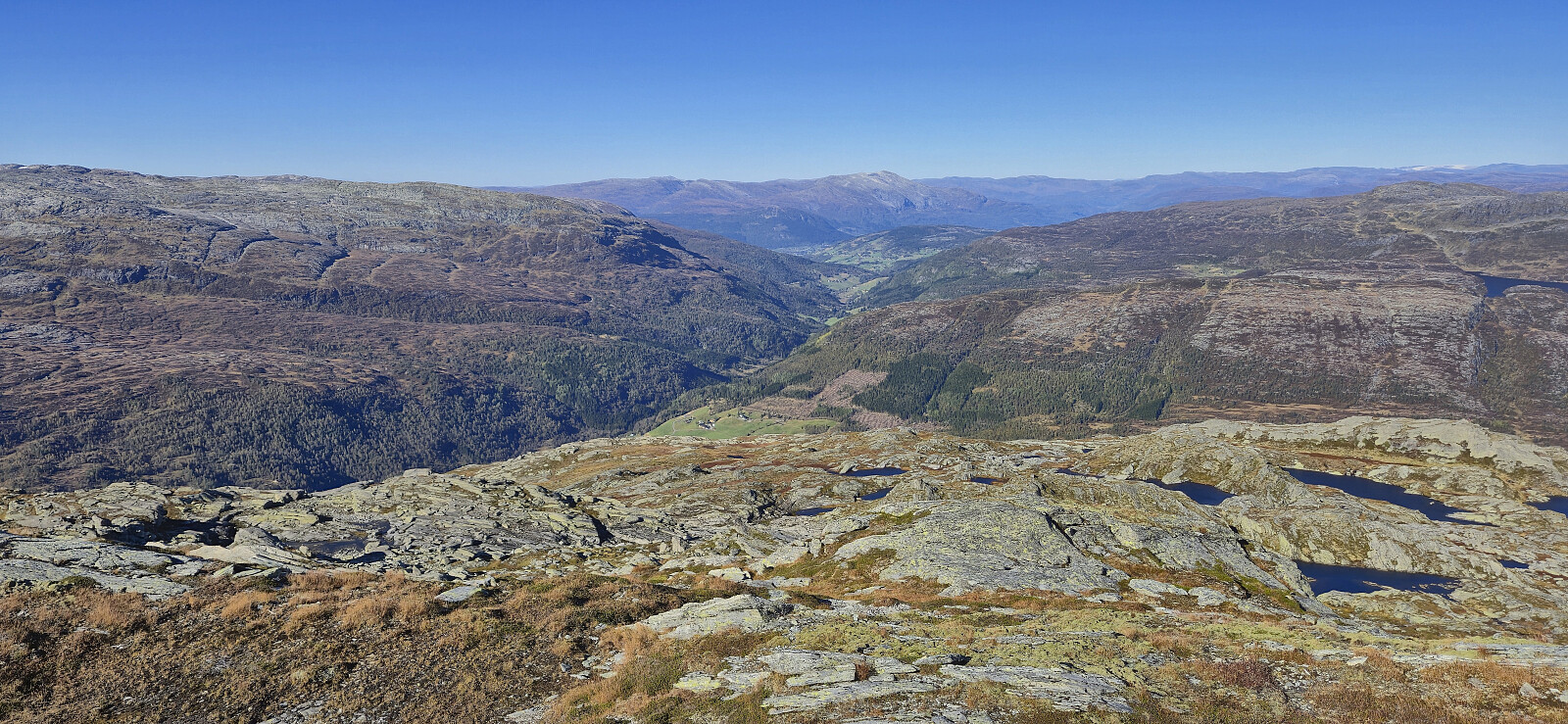
To conclude, a roundtrip to Herdabreida and Kistenuten can definitely be recommended and provides excellent views along the way, and except for the first part of the descent from Kistenuten Øst it was overall straightforward to find an easy off-trail route.
Takk for turen, Endre!
| Starttidspunkt | 27.09.2025 13:07 (UTC+01:00 ST) |
| Sluttidspunkt | 27.09.2025 18:16 (UTC+01:00 ST) |
| Totaltid | 5t 09min |
| Bevegelsestid | 4t 12min |
| Pausetid | 0t 56min |
| Snittfart totalt | 2,3km/t |
| Snittfart bevegelsestid | 2,8km/t |
| Distanse | 11,8km |
| Høydemeter | 964m |


Kommentarer