
Vardafjellet from Rindabotn (13.07.2025)

Skrevet av hbar (Harald Barsnes)

| Startsted | Rindabotn (678moh) |
|---|---|
| Sluttsted | Rindabotn (678moh) |
| Turtype | Fjelltur |
| Turlengde | 3t 04min |
| Distanse | 7,6km |
| Høydemeter | 366m |
| GPS |
|
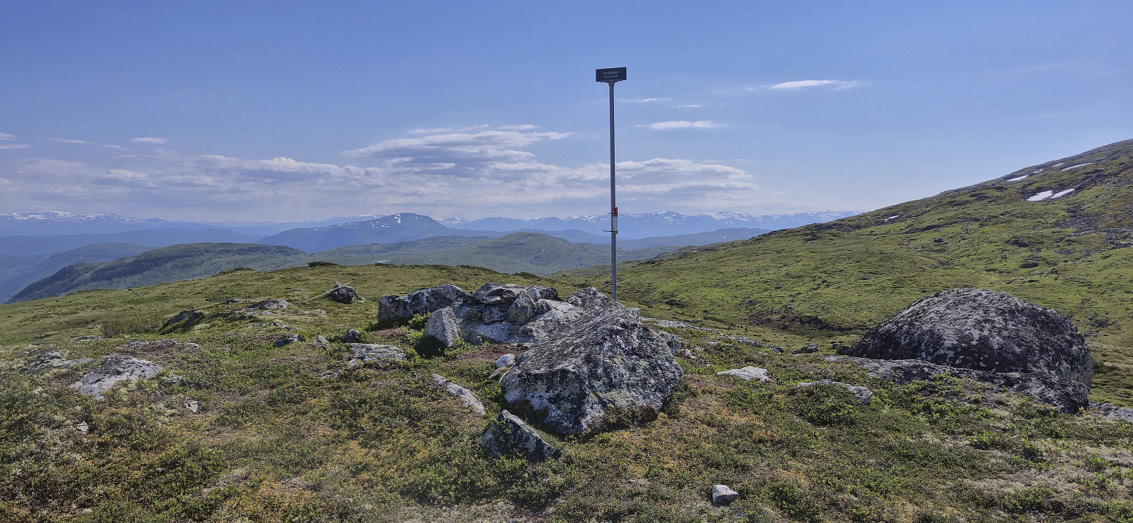
| Bestigninger | Vardafjellet (1016moh) | 13.07.2025 15:39 |
|---|
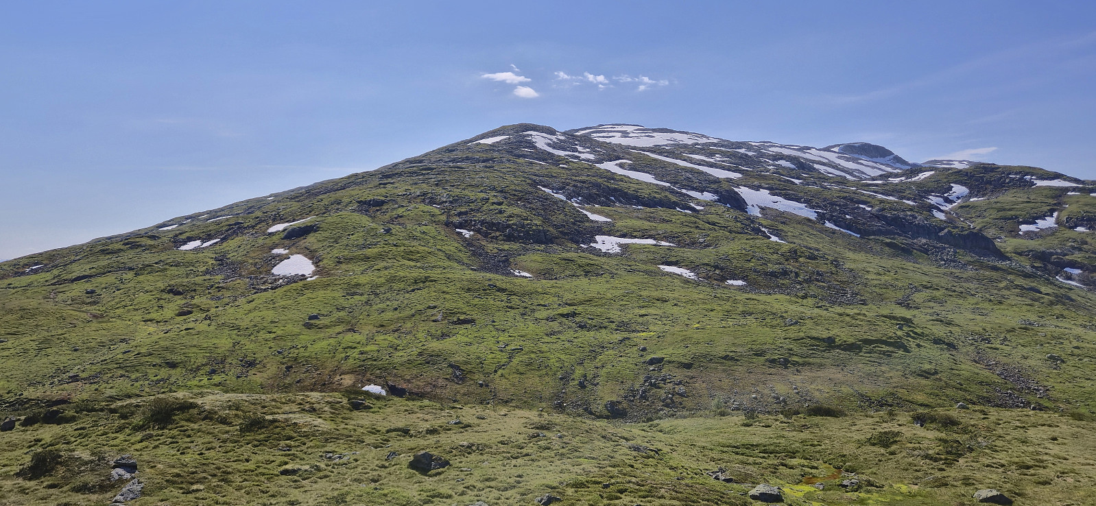
Vardafjellet from Rindabotn
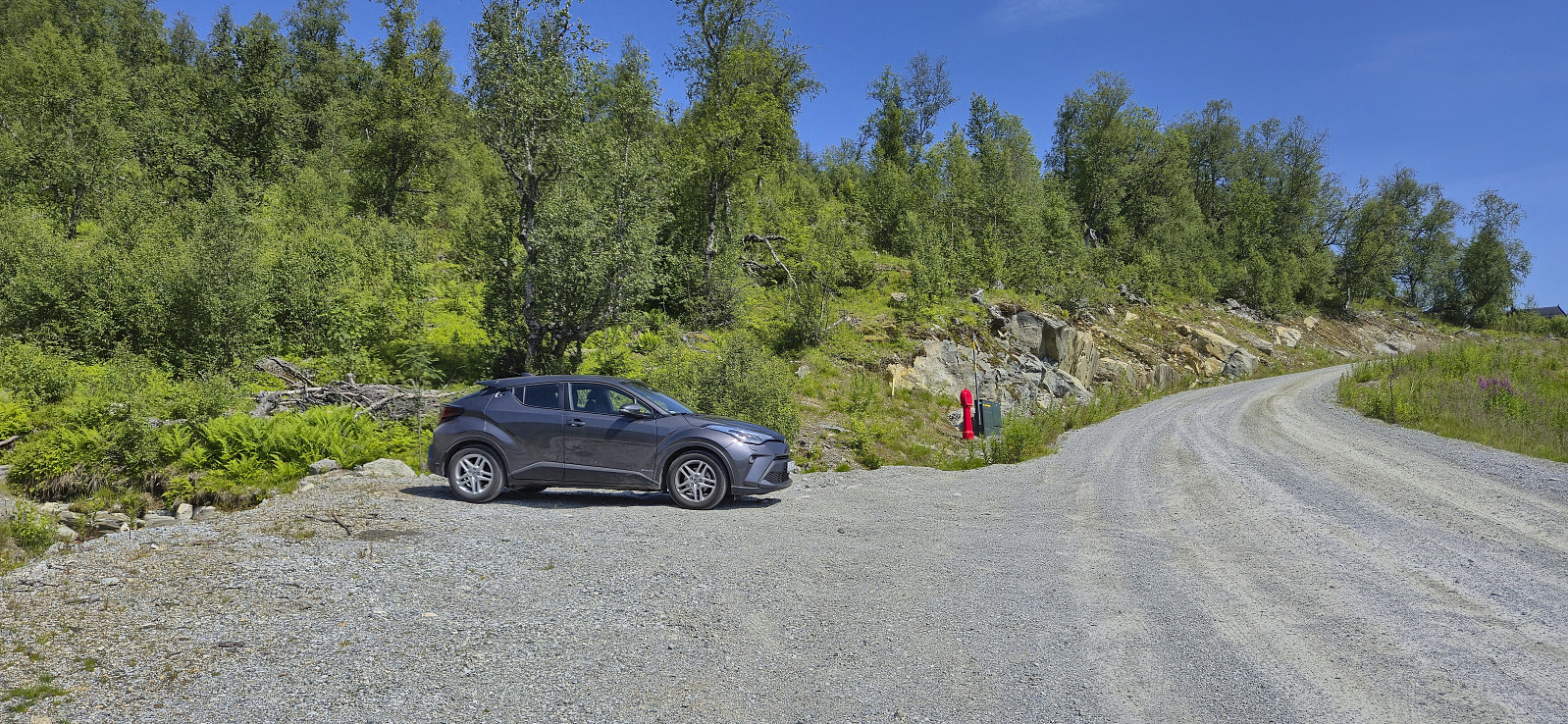
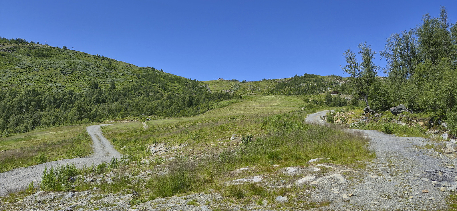
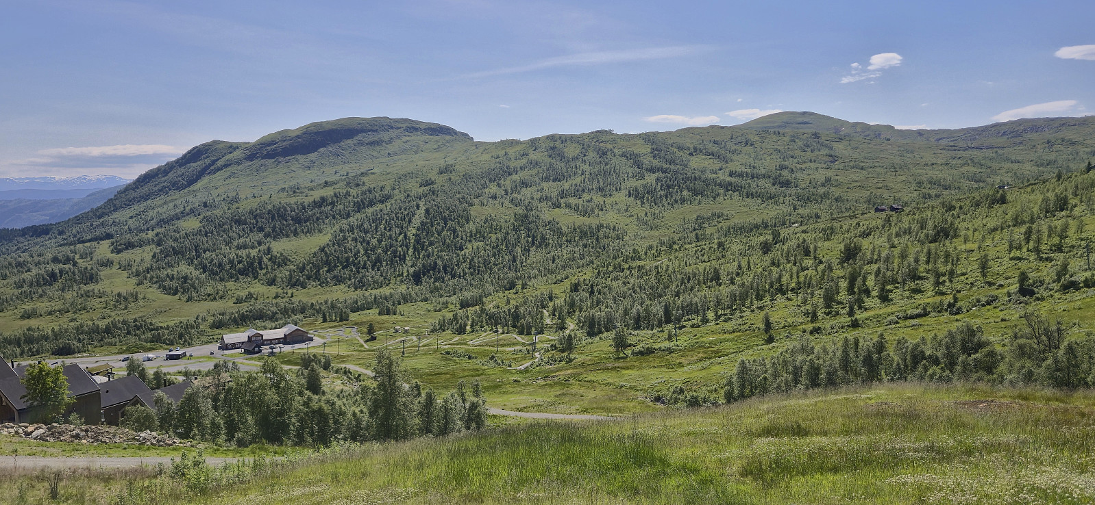
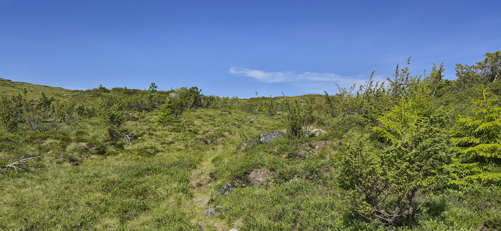
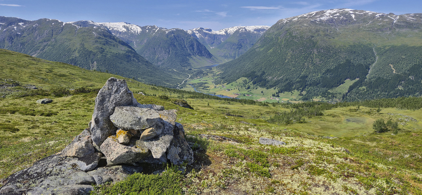
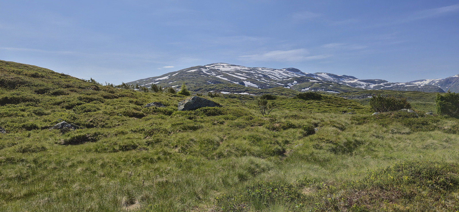
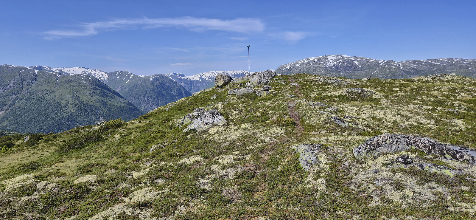
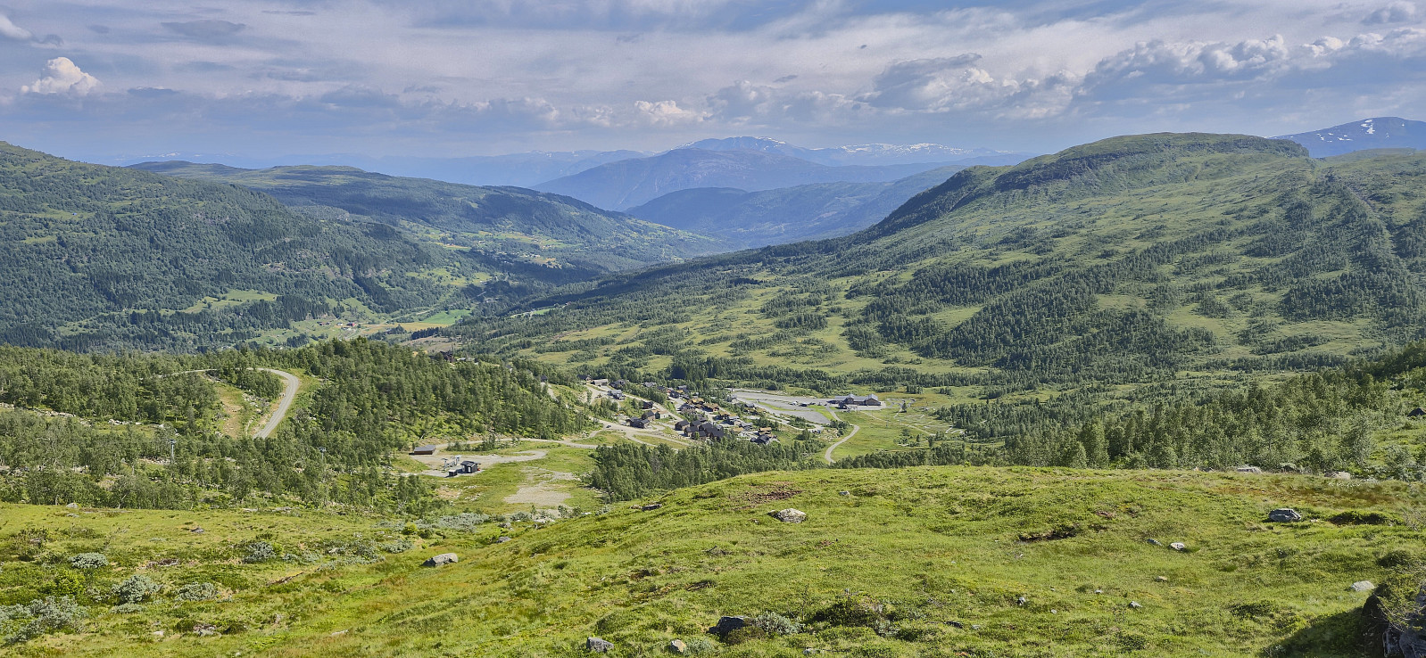
We found parking next to the road above Rindabotn and from there continued up the gravel road. It would probably have been possible to drive further but then the parking options were less certain. We later left the gravel road and followed a marked trail heading north towards Kokkstadfjellet, however we did not head all the way there before turning west to Vardafjellet. On our way there, we had the best views of the day. Most notably north in the direction of Anestølsvatnet. At Vardafjellet, my niece continued on her own to Kambafjellet while my parents and I headed more directly south to the car. First along a marked trail and then along the winding gravel road. As a results, my niece got to Rindabotn long before us and we later picked her along Hodlekvevegen.
| Starttidspunkt | 13.07.2025 14:11 (UTC+01:00 ST) |
| Sluttidspunkt | 13.07.2025 17:15 (UTC+01:00 ST) |
| Totaltid | 3t 04min |
| Bevegelsestid | 2t 19min |
| Pausetid | 0t 44min |
| Snittfart totalt | 2,5km/t |
| Snittfart bevegelsestid | 3,3km/t |
| Distanse | 7,6km |
| Høydemeter | 365m |


Kommentarer