
Kaland to Sandven via Meåsen (16.03.2025)

Skrevet av hbar (Harald Barsnes)

| Startsted | Kaland (58moh) |
|---|---|
| Sluttsted | Sandven (63moh) |
| Turtype | Fottur |
| Turlengde | 4t 13min |
| Distanse | 18,9km |
| Høydemeter | 593m |
| GPS |
|
| Bestigninger | Meåsen (311moh) | 16.03.2025 |
|---|---|---|
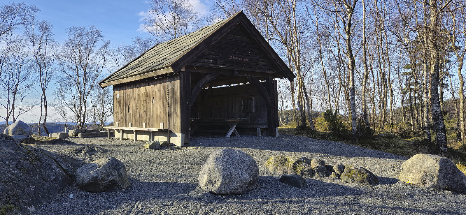
| Andre besøkte PBE'er | Frotveit p-plass (kr) (256moh) | 16.03.2025 |
| Stego-Grinda (279moh) | 16.03.2025 | |
| Wallhall (privat) (303moh) | 16.03.2025 |
Kaland to Sandven via Meåsen
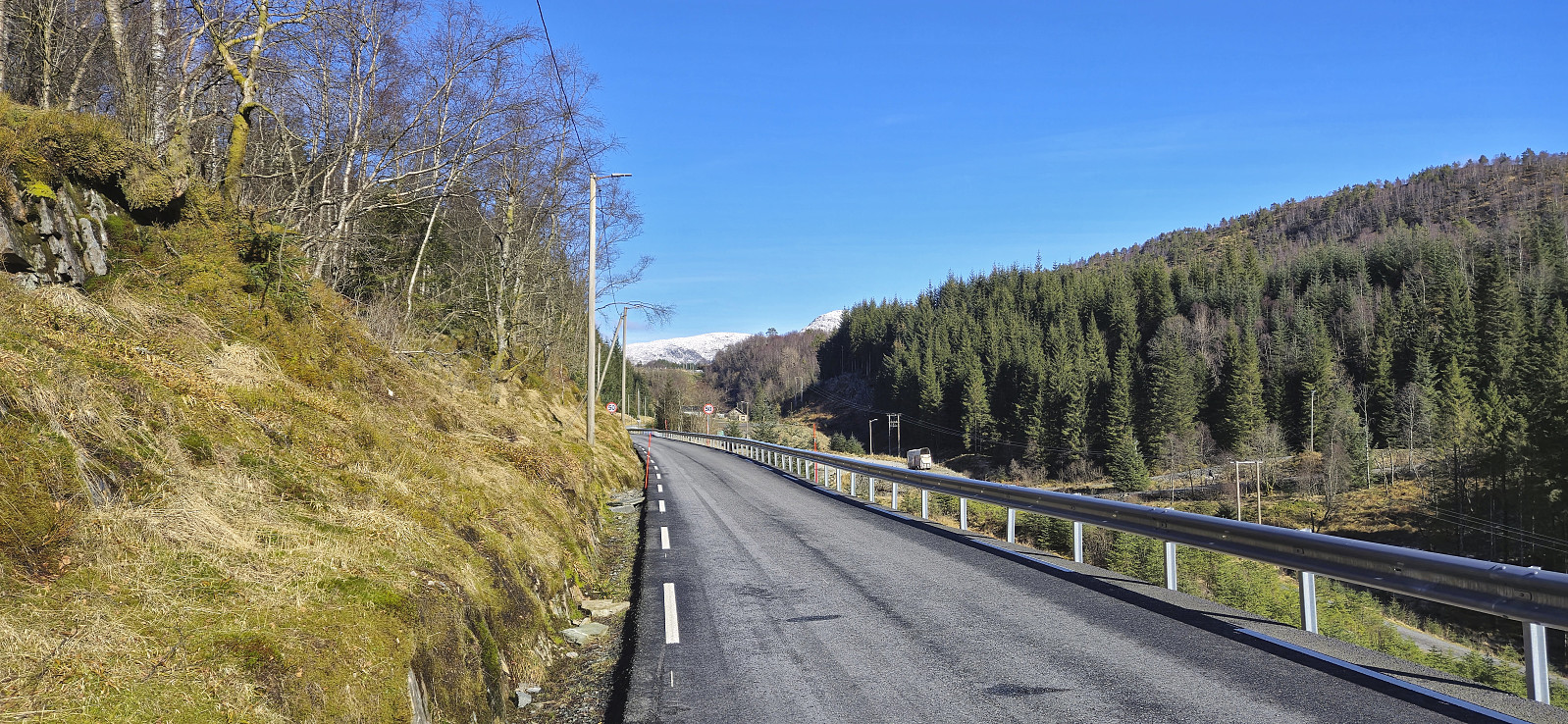
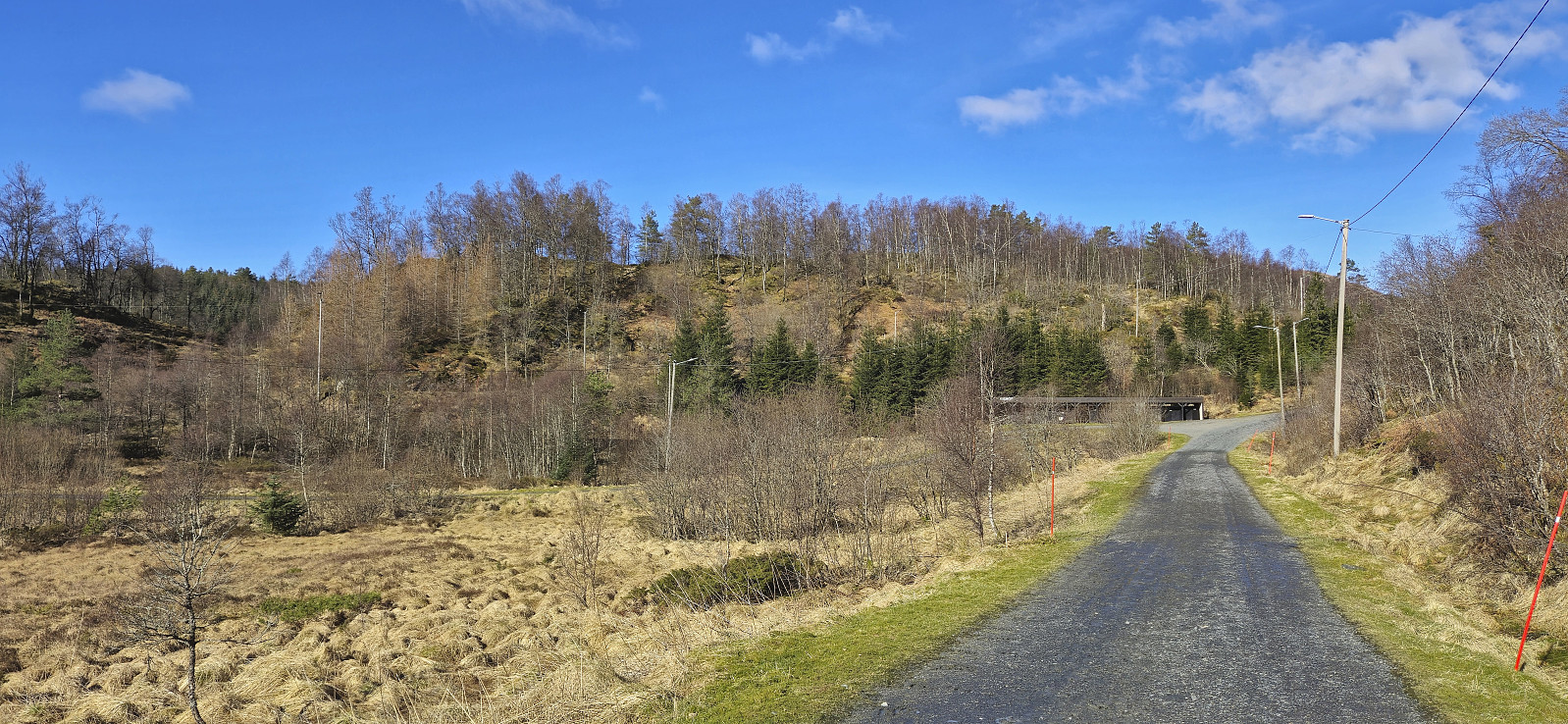
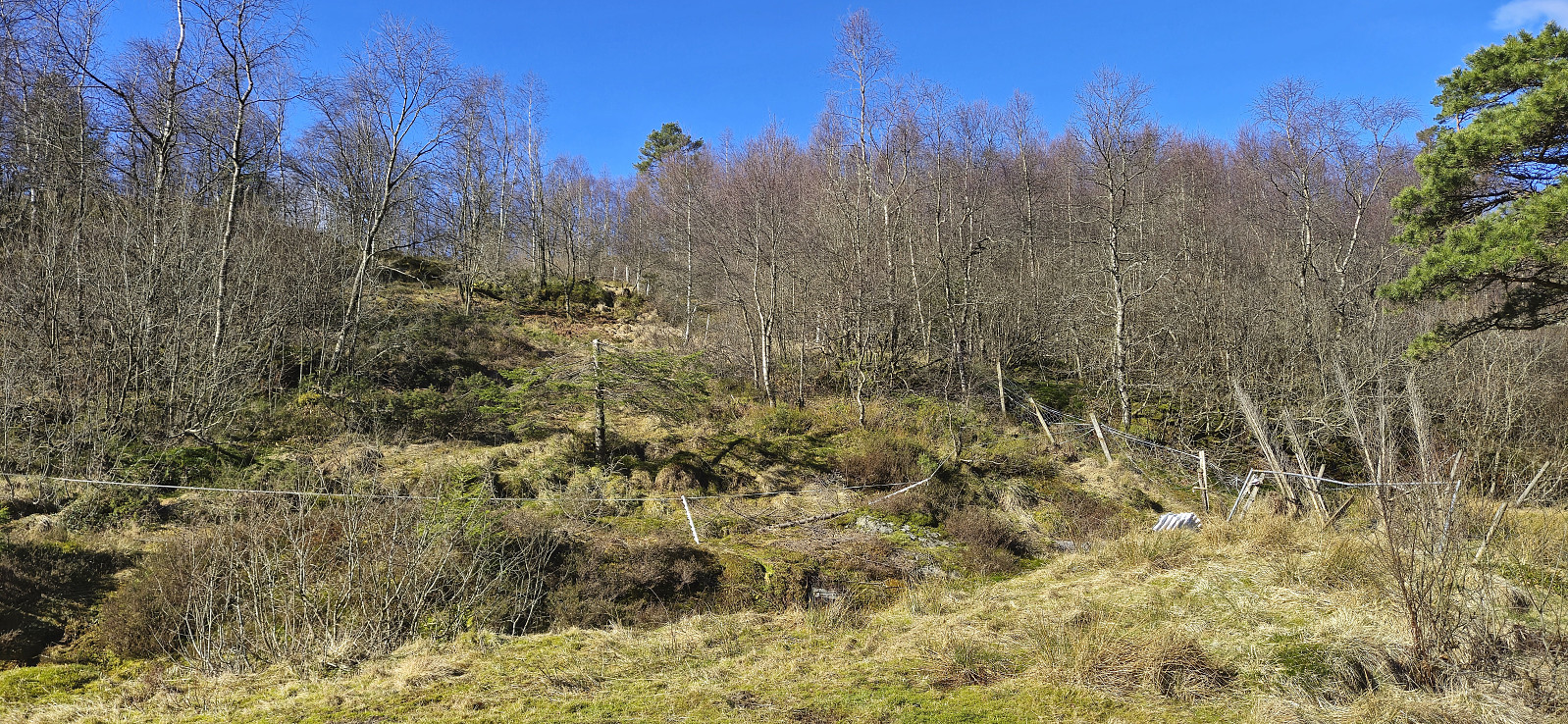
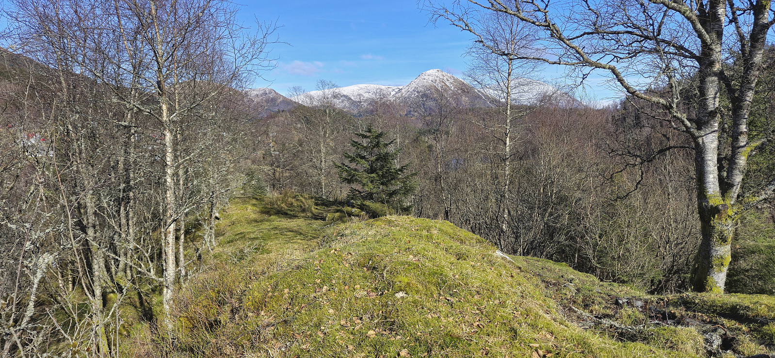
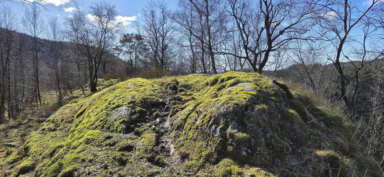
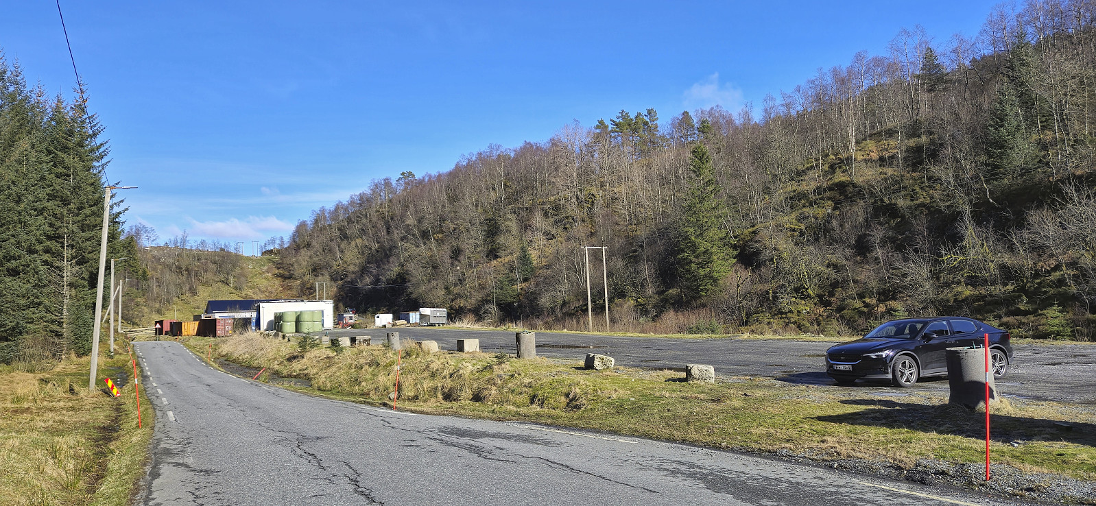
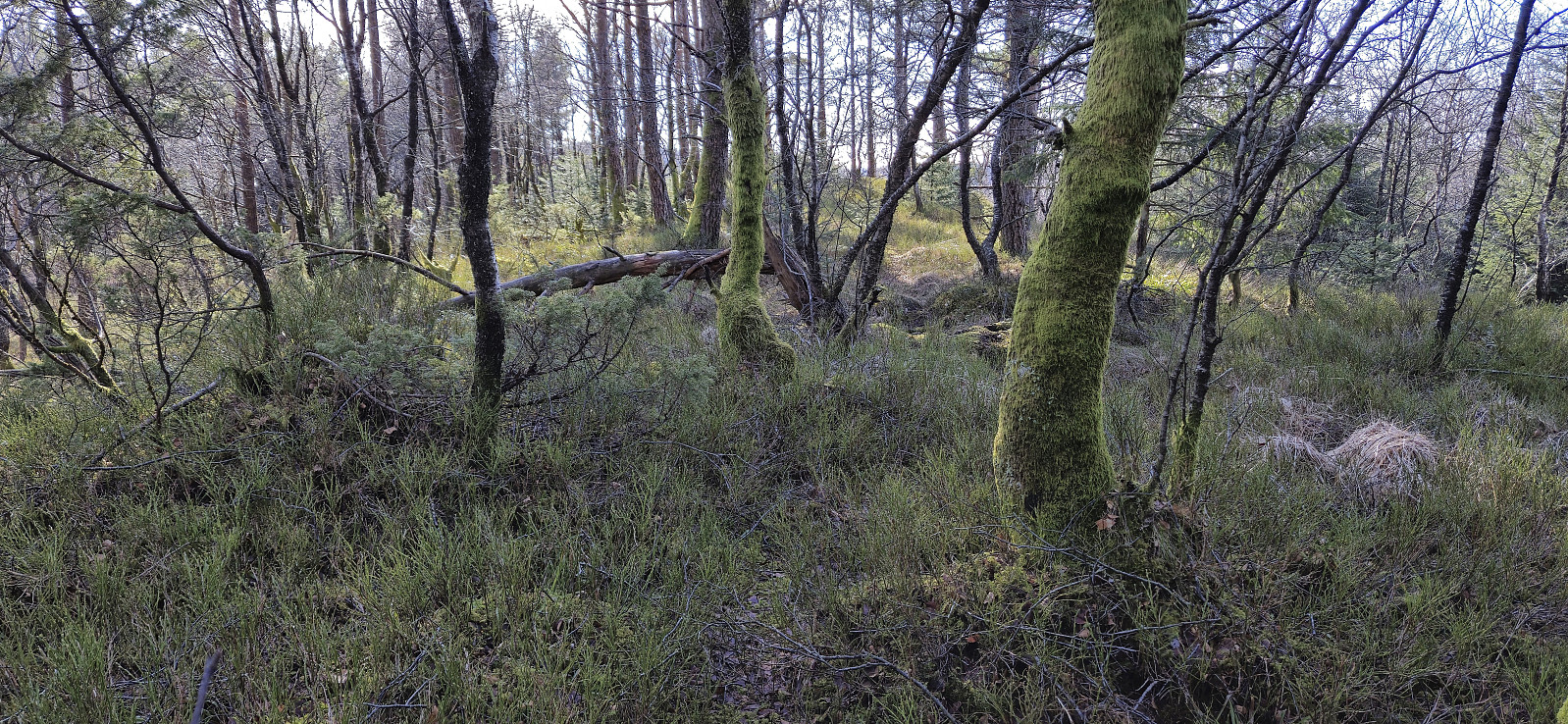
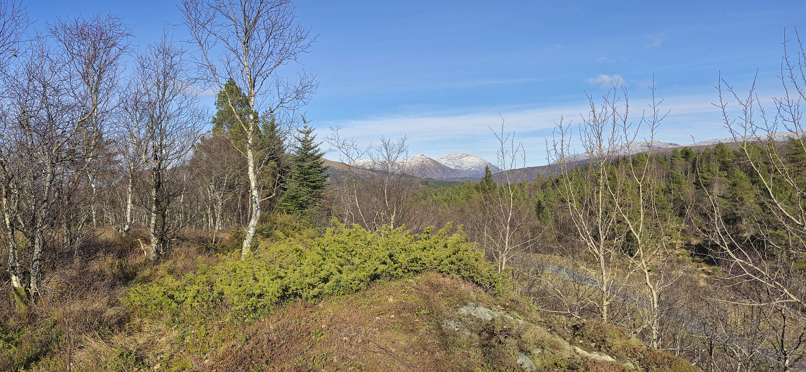
Sunday hike with the main objective of visiting Meåsen, yet another minor summit on the Alle topper i Bergen list. In order to extend an otherwise very short trip, and due to there being no buses to Frotveit during the weekend, I started from the bus stop at Kaland and from there followed the paved road up to the large parking lot at Frotveit. Thanks to Kjell's recent trip report, I skipped the direct ascent and instead followed the gravel road to southeast of the summit and easily ascended from there.
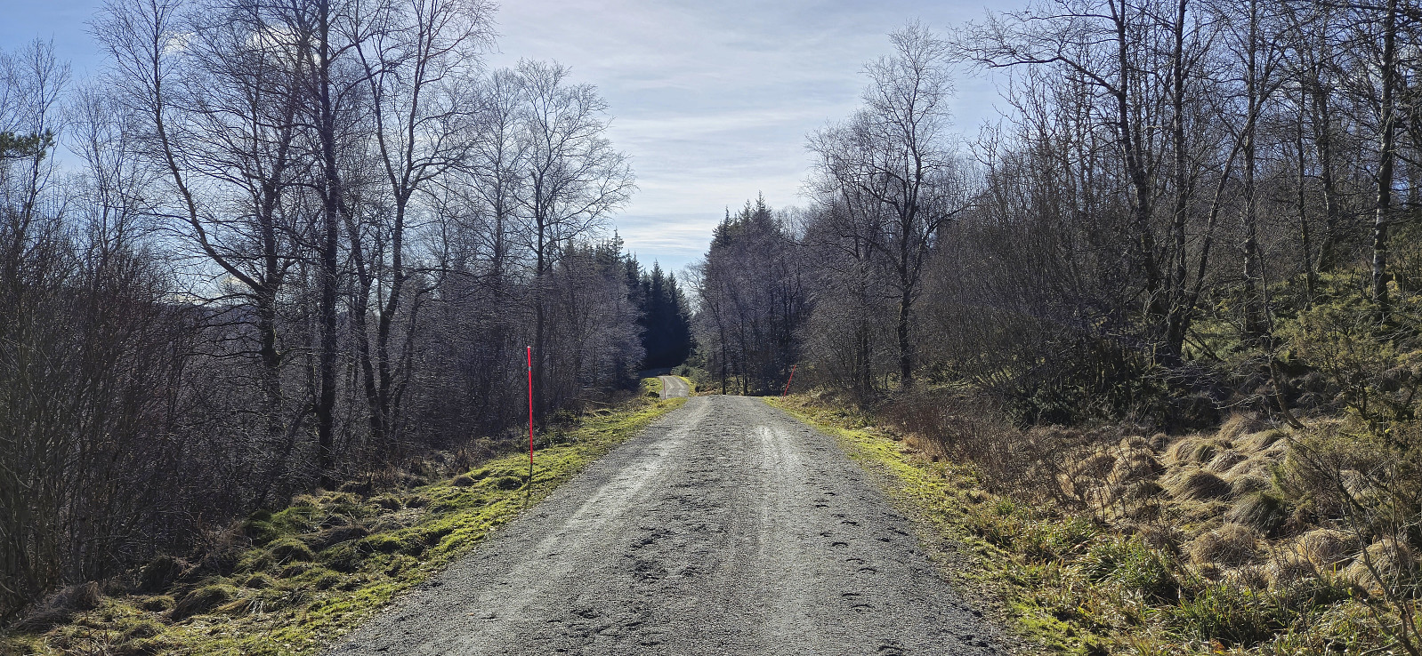
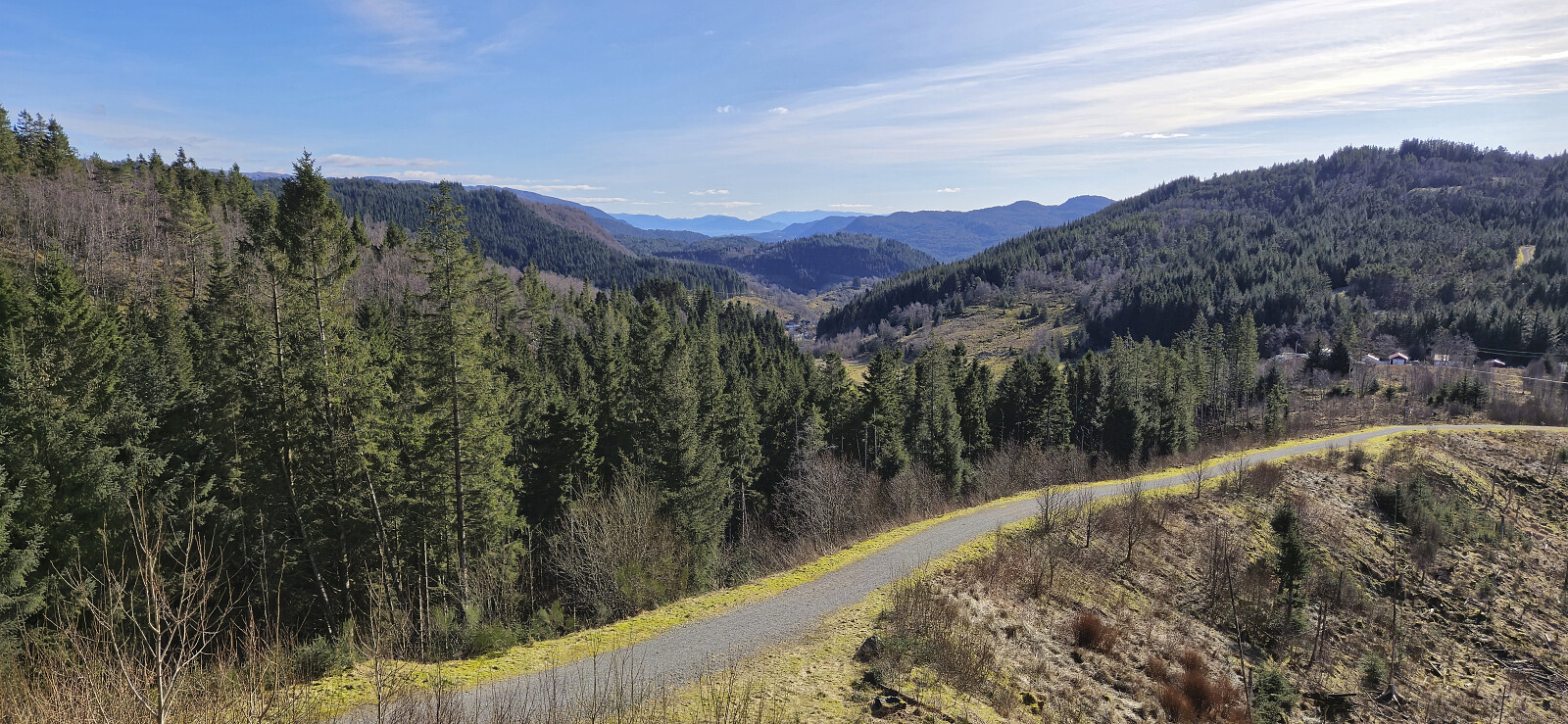
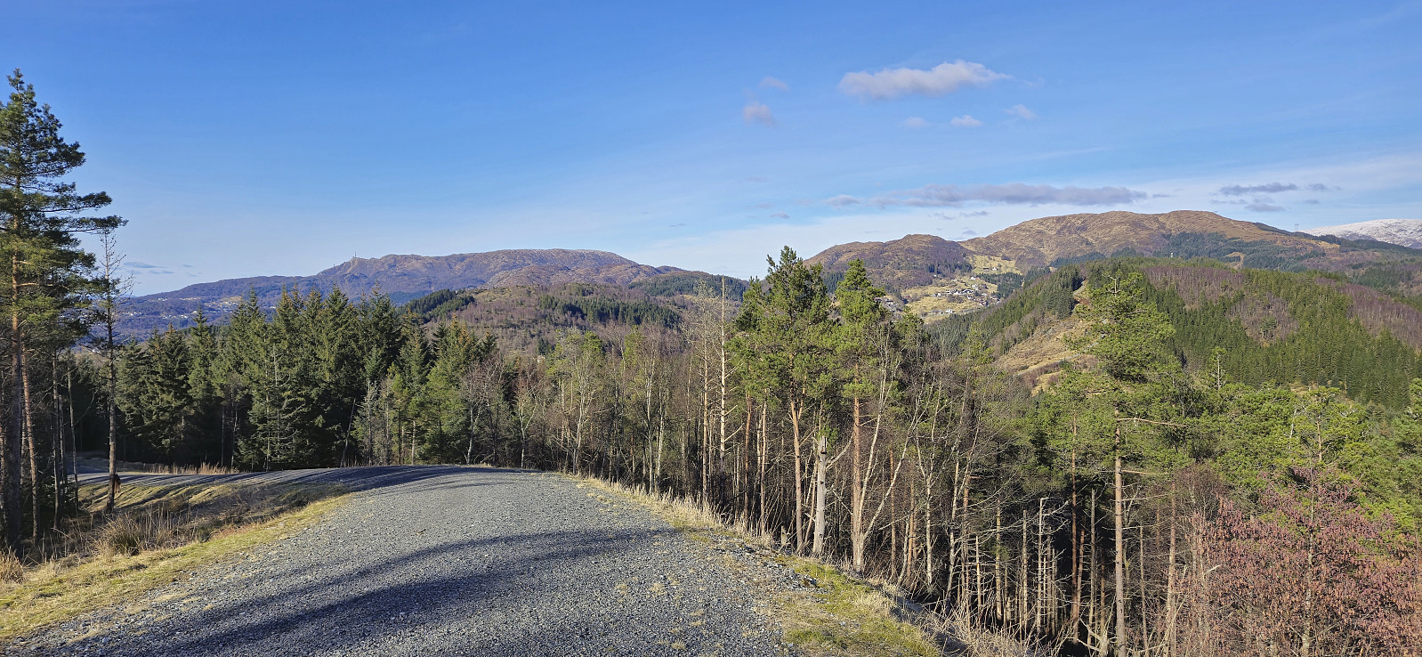
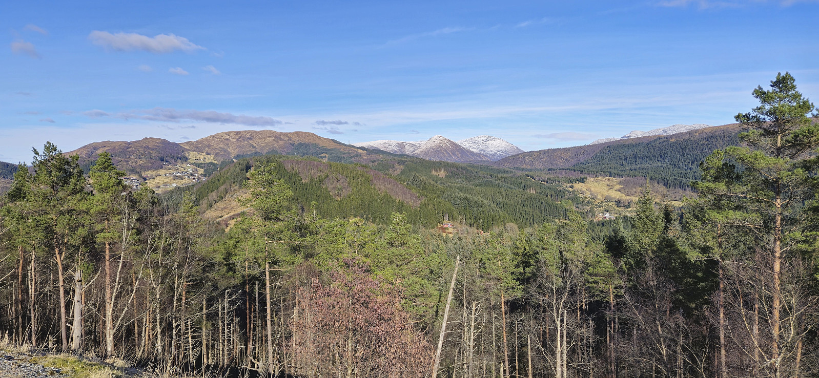
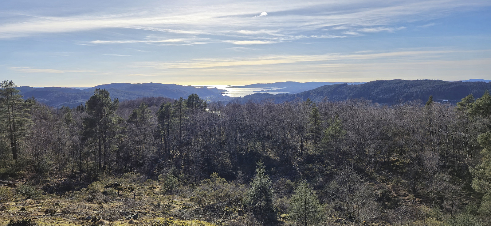
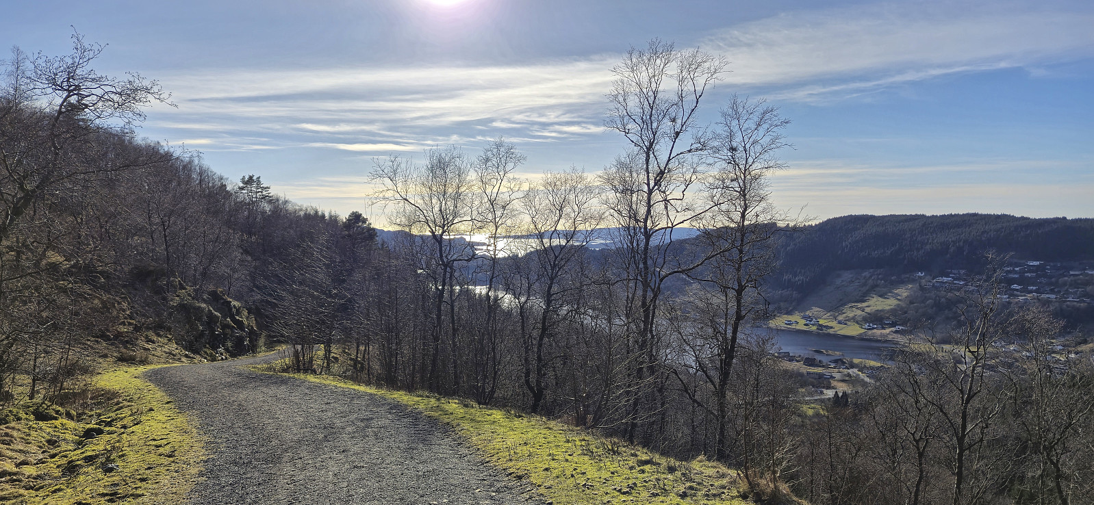
After returning to the parking lot, my initial plan had been to simply follow the same route back to Kaland, but I now concluded that this would be a waste of a very nice day and instead ended up following various gravel roads slightly further west. In fact, except for minor off-trail detours to Midtfjellet and Sauatona, I was on nice gravel roads all the way to Nedre Sandven, from where there was only a short walk along the main road to the bus stop to wait for the bus back to the city center.
| Starttidspunkt | 16.03.2025 12:00 (UTC+01:00) |
| Sluttidspunkt | 16.03.2025 16:13 (UTC+01:00) |
| Totaltid | 4t 13min |
| Bevegelsestid | 4t 01min |
| Pausetid | 0t 12min |
| Snittfart totalt | 4,5km/t |
| Snittfart bevegelsestid | 4,7km/t |
| Distanse | 18,9km |
| Høydemeter | 592m |


Kommentarer