
Klettane, again... (01.02.2025)

Skrevet av hbar (Harald Barsnes)

| Startsted | Pehola (73moh) |
|---|---|
| Sluttsted | Pehola (73moh) |
| Turtype | Fjelltur |
| Turlengde | 1t 08min |
| Distanse | 2,7km |
| Høydemeter | 218m |
| GPS |
|
| Bestigninger | Klettane (261moh) | 01.02.2025 17:30 |
|---|
Klettane, again…
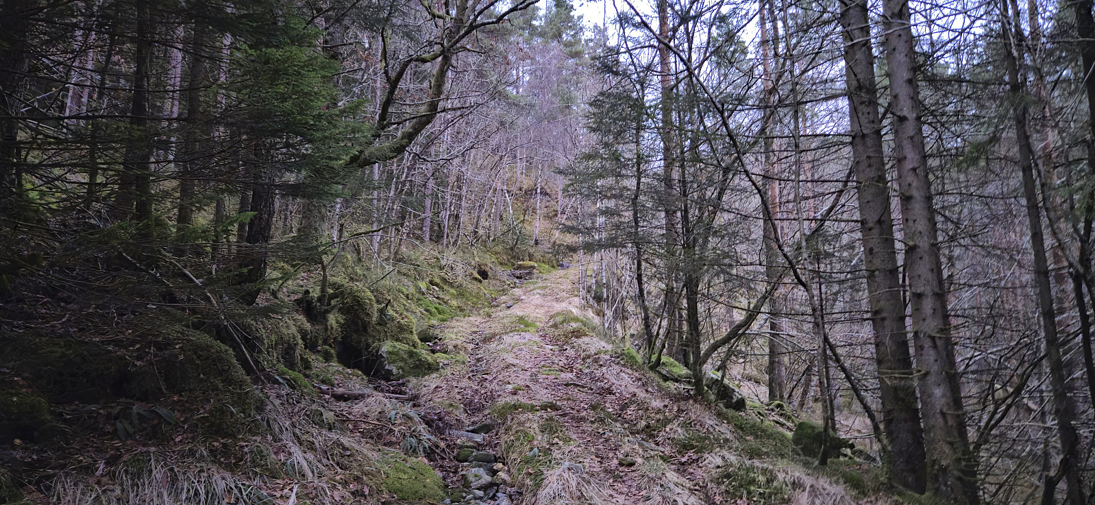
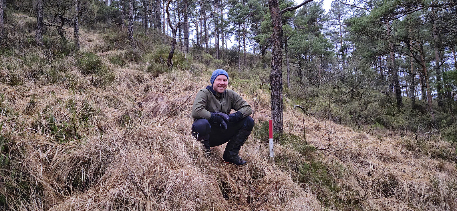
After our long hike to Storenova, Gulbrekkefjellet and Hisbotsnuken, Endre and I drove the short distance east to Kvamdalsvanet to take care of some unfinished business. It turned out that we at our previous visit of Klettane and not in fact visited the highest point, as this had since been moved from the western hill where the trig marker is located to a slightly higher hill around 150 meters to the east. As the day was darkening we therefore once more began the ascent up the tractor road to the wet area northeast of Klettane, but where we last time had proceeded off-trail to the summit, we now discovered a marked trail that greatly simplified the ascent.
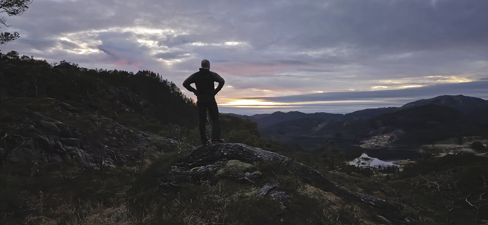
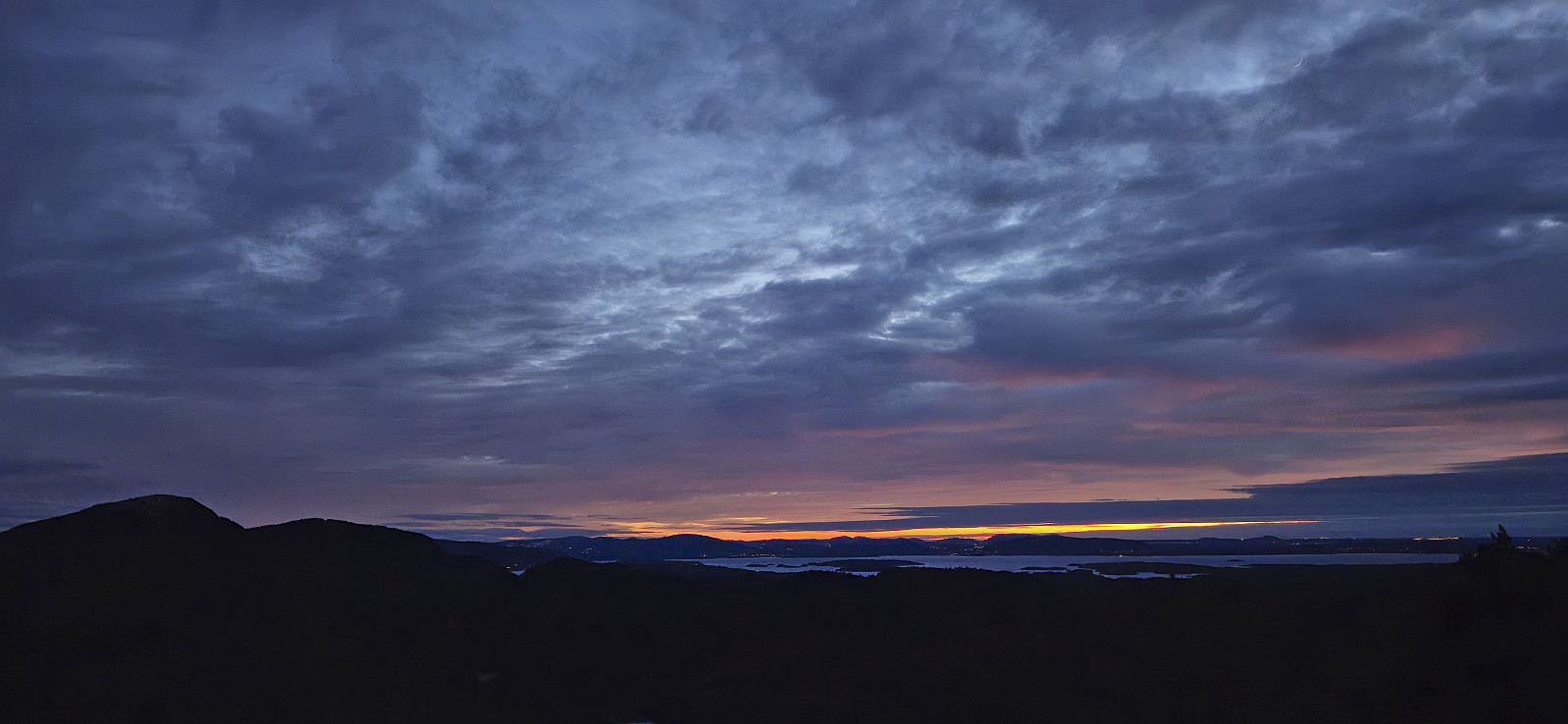
Partly due to the limited light we managed to lose the marked trail before reaching the summit but found it again towards the end. It was now almost dark but we could enjoy the end of the sunset from the summit before turning back and returning to the car.
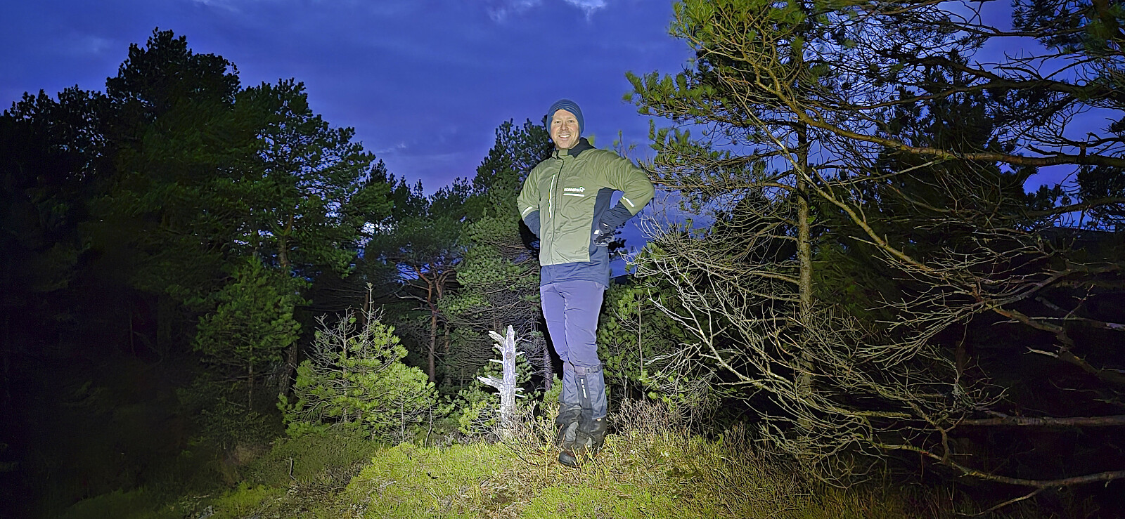
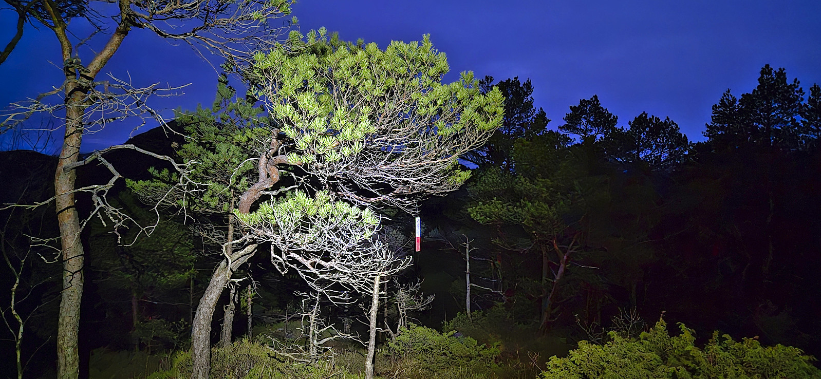
With our lights turned on we did our best to follow the trail markers during the descent but still lost them in the same area as for the ascent. When reconnecting with the trail we however spotted two markers in the direction of the summit that we had not noticed during the ascent. Hence it should most likely be possible to follow the marked trail all the way.
In summary, the marked trail made for a nicer hike than last time, although I'm still pretty sure this is the final time that either of us will feel much need to revisit Klettane.
| Starttidspunkt | 01.02.2025 16:59 (UTC+01:00) |
| Sluttidspunkt | 01.02.2025 18:08 (UTC+01:00) |
| Totaltid | 1t 08min |
| Bevegelsestid | 0t 57min |
| Pausetid | 0t 11min |
| Snittfart totalt | 2,4km/t |
| Snittfart bevegelsestid | 2,9km/t |
| Distanse | 2,7km |
| Høydemeter | 218m |


Benutzerkommentare