
Skåldalsnipa direttissima via Moldalia (18.08.2024)

Skrevet av HHauser (Helwig Hauser)

| Startsted | Moldalia (100moh) |
|---|---|
| Sluttsted | Moldalia (100moh) |
| Turtype | Fottur |
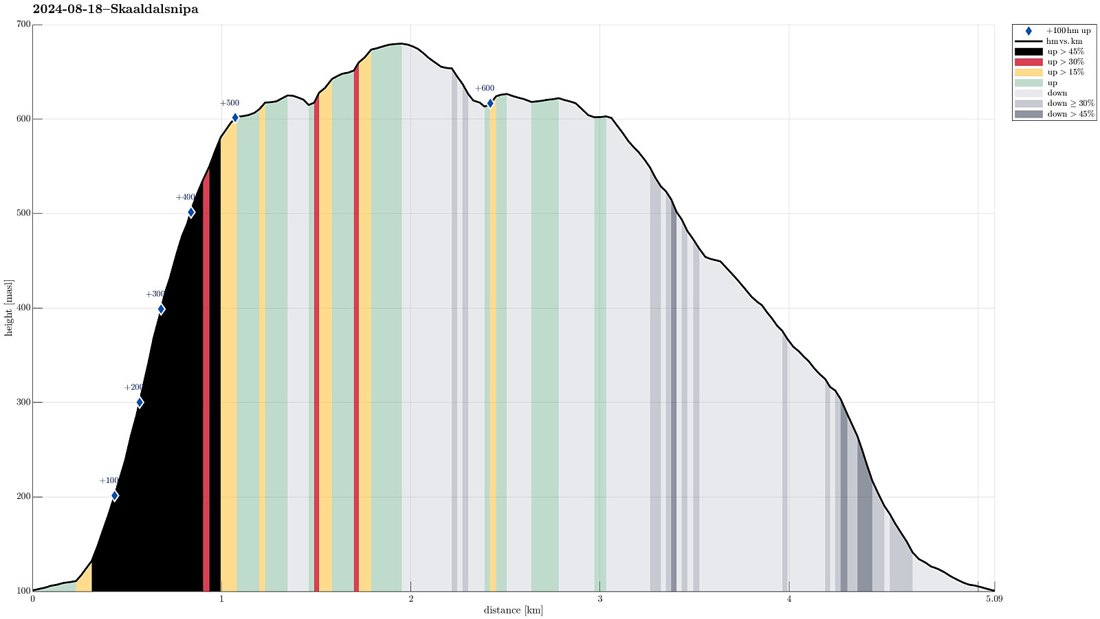
| Turlengde | 2t 30min |
| Distanse | 5,1km |
| Høydemeter | 617m |
| GPS |
|
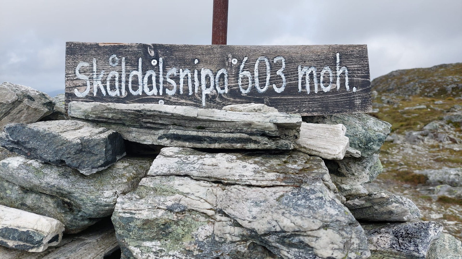
| Bestigninger | Skåldalsnipa (603moh) | 18.08.2024 |
|---|---|---|
| Sælinga (682moh) | 18.08.2024 | |
| Andre besøkte PBE'er | Torvhus Sælingane (640moh) | 18.08.2024 |
Trip Summary
The idea was to ascend to Skåldalsnipa "direttissima" via Moldalia. Why not? Not a good idea on a wet day -- probably true. Still, this is what happened anyway. Consider with care, if you -- for whatsoever reason -- wished to do the same. From the road with name Moldalia it was first "gently upwards" in eastern direction, walking along a proper forest road / trail. As soon as after passing by the last houses, however, it was into the forest and up the slope. From this point, and up to Skåldalsnipa, it was then mostly a climbing effort using all four extremities. Also, there was quite some vegetation to get around. Quite a bit of this vegetation, however, was also helpful to provide some additional grip. Once above about 500 masl (and there above the tree line), progress got a bit easier (still very steep, though). From Skåldalsnipa, it was then -- much easier! -- further upwards to Sælinga (and the hightest point there), before I turned around. Down it was then along trails -- no good idea to try such a steep slope (on wet ground!) downwards. After first descending along Storrinden and the main trail down there, I then changed to the minor trail that leads down to Moldalia. While most of this descent was still more like stepping down a stream than hiking down a trail, it still was much easier (and safer), this way. Eventually, I made it back to the car in one piece! :-)
Photos
Selected photos are available as Google photo album.
Useful Resources
See also the related FB-page Hiking around Bergen, Norway.
Petter Bjørstad has a useful page about Skåldalsfjellet and also web page WestCoastPeaks.com provides useful information about Skåldalsfjellet, Herlandsfjellet, Repparåsen, and Arnanipa.
Web page UT.no from the Norwegian Trekking Association recommends a similar hike.


Kommentarer