
Jonahornet, Tofjellet, Gulbergnotten and Vikanuten (01.08.2024)

Skrevet av hbar (Harald Barsnes)

| Startsted | Solesnesvegen (9moh) |
|---|---|
| Sluttsted | Jondal fergekai (2moh) |
| Turtype | Fjelltur |
| Turlengde | 8t 22min |
| Distanse | 19,7km |
| Høydemeter | 2205m |
| GPS |
|
| Bestigninger | Jonahornet (420moh) | 01.08.2024 10:33 |
|---|---|---|
| Tofjellet (538moh) | 01.08.2024 12:23 | |
| Gulbergnotten (546moh) | 01.08.2024 13:20 | |
| Vikanuten trigpunkt (1065moh) | 01.08.2024 16:26 | |
| Vikanuten (1078moh) | 01.08.2024 16:33 | |
| Andre besøkte PBE'er | Jonahornet p-lomme (45moh) | 01.08.2024 09:50 |
| Gulbergnotten utsiktspunkt (538moh) | 01.08.2024 13:23 | |
| Sætveit parkering (52moh) | 01.08.2024 14:35 |
Jonahornet, Tofjellet, Gullbergnotten and Vikanuten
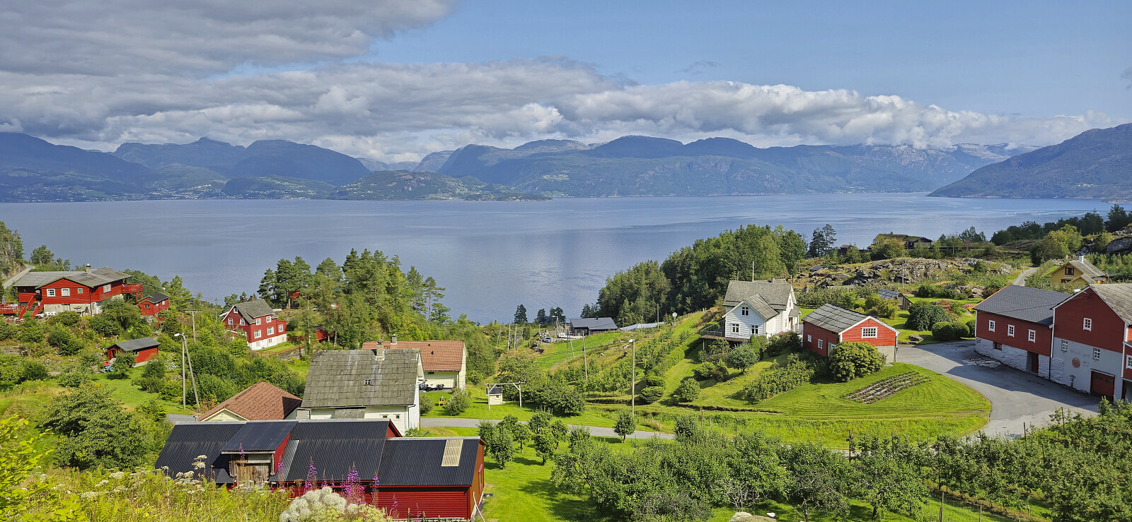
A hike to the three peaks just north of Jondal had been on my radar for a while. Ideally, I would like to start from the north and hike via the three peaks on my way to Jondal. Getting to the trailhead at Selsvik by public transport is however difficult. Or so I had thought. But based on my recent success of using the express boat from Norheimsund to visit Grimsnuten, I figured out that it should be possible to do something similar here as well. After a bit of digging I even found out that there is a corresponding bus from Herand towards Jondal that would get me to the wanted starting location and thus leave room for a potential bonus peak before taking the ferry and bus home from Jondal.
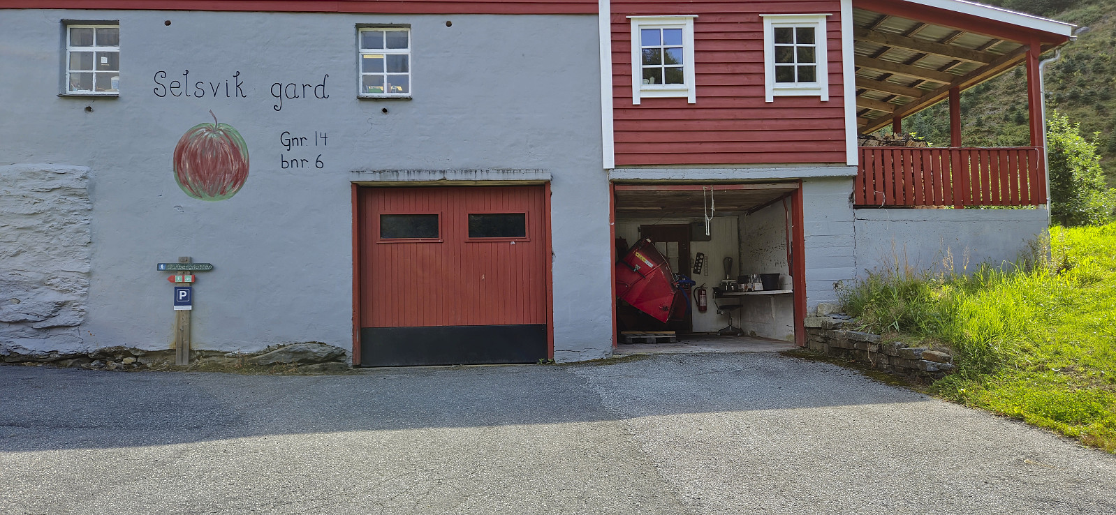
I therefore once more took the bus to Norheimsund and then the express boat, but this time getting off at Herand. A short bus ride later I arrived at the main road below Selsvik. I was the only passenger on the bus, partly explained by the correspondence with the express boat not showing up in the Skyss route planer (as the transfer is too short). The bus driver could however confirm that they would always wait for the boat. He also told me that the bus goes all the way to FONNA Glacier Ski Resort, hence I may end up taking this bus again in the future for other hikes or skiing trips in that direction.
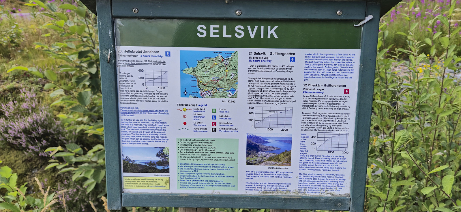
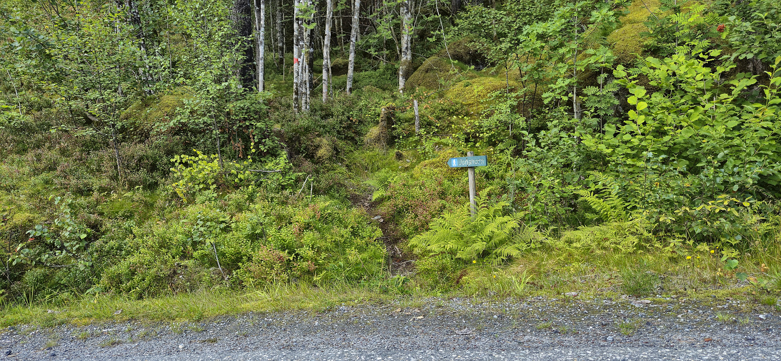
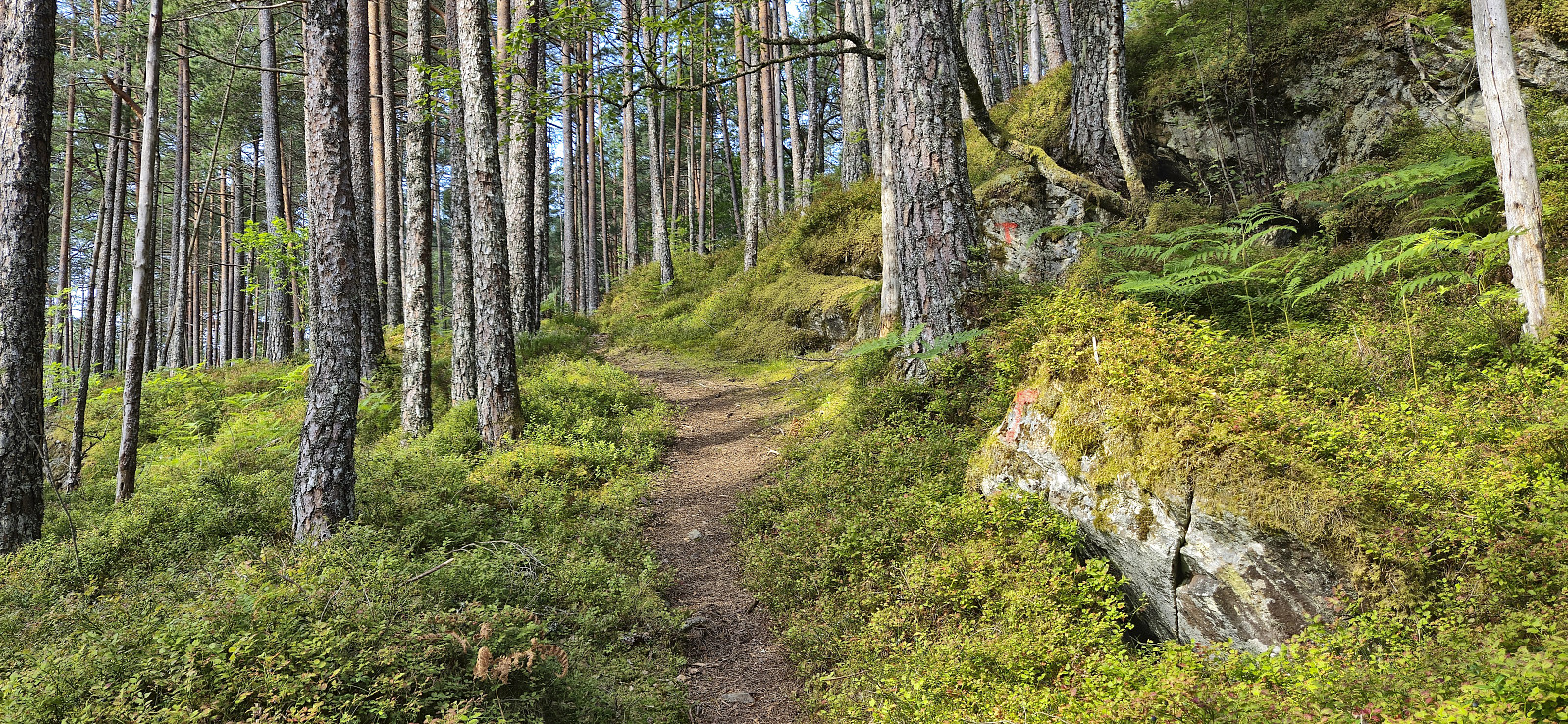
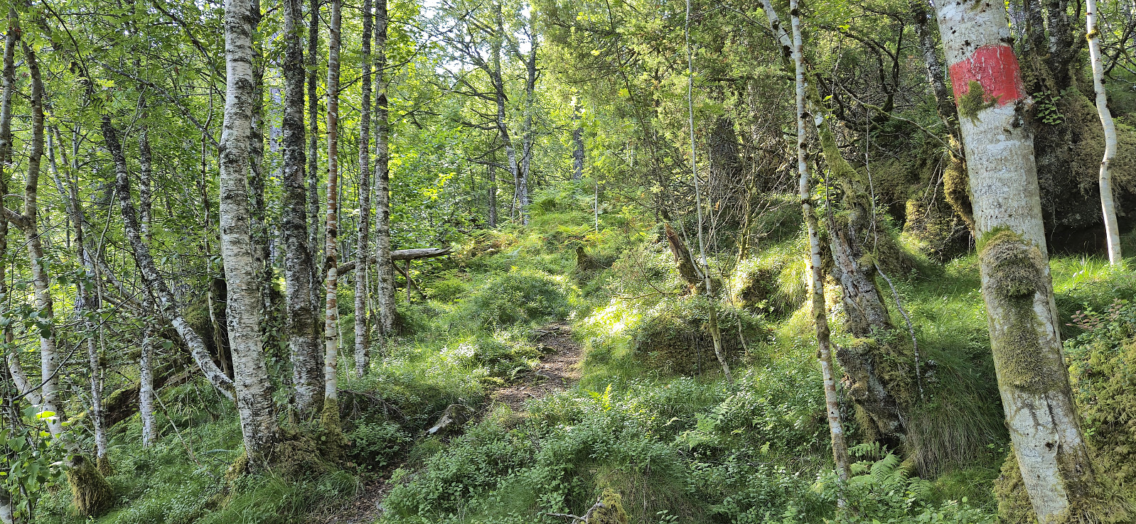
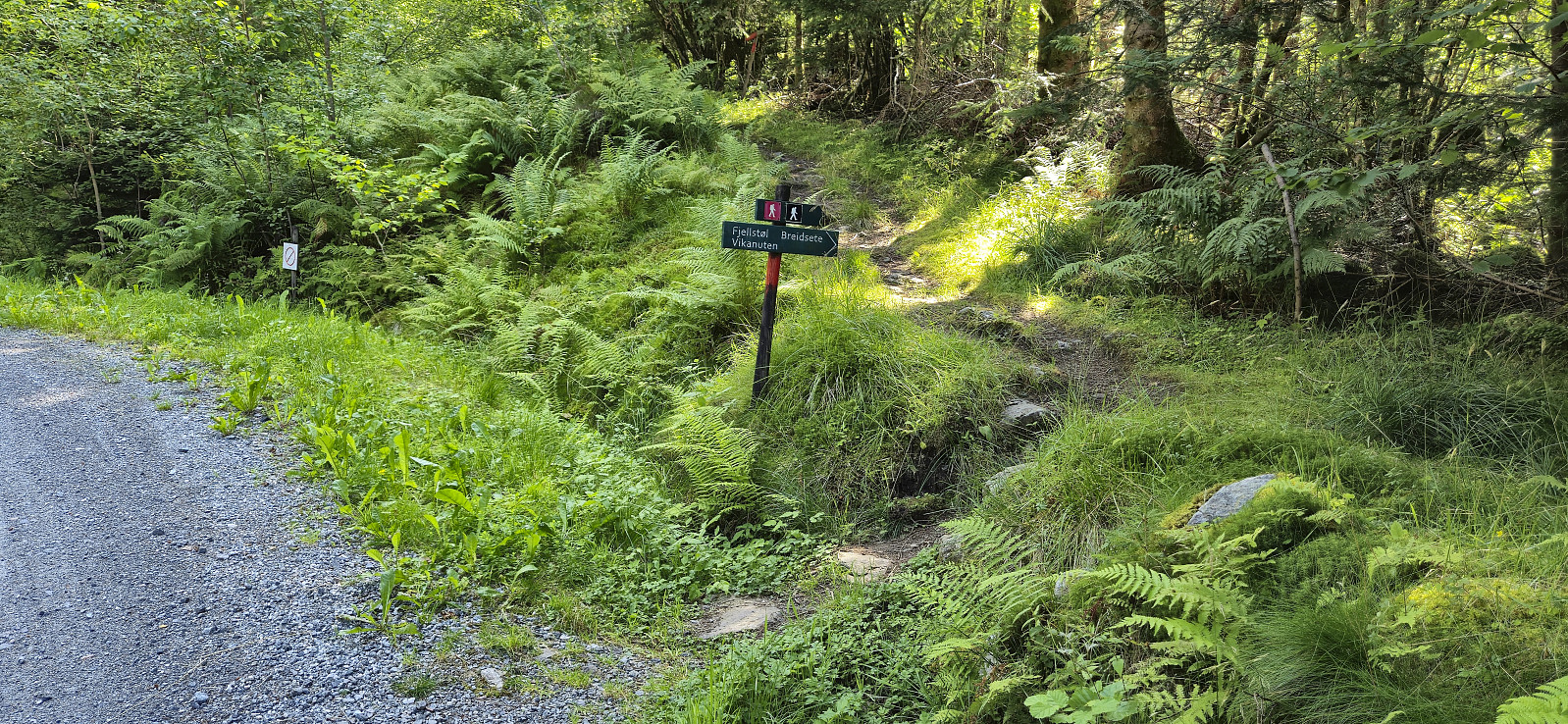
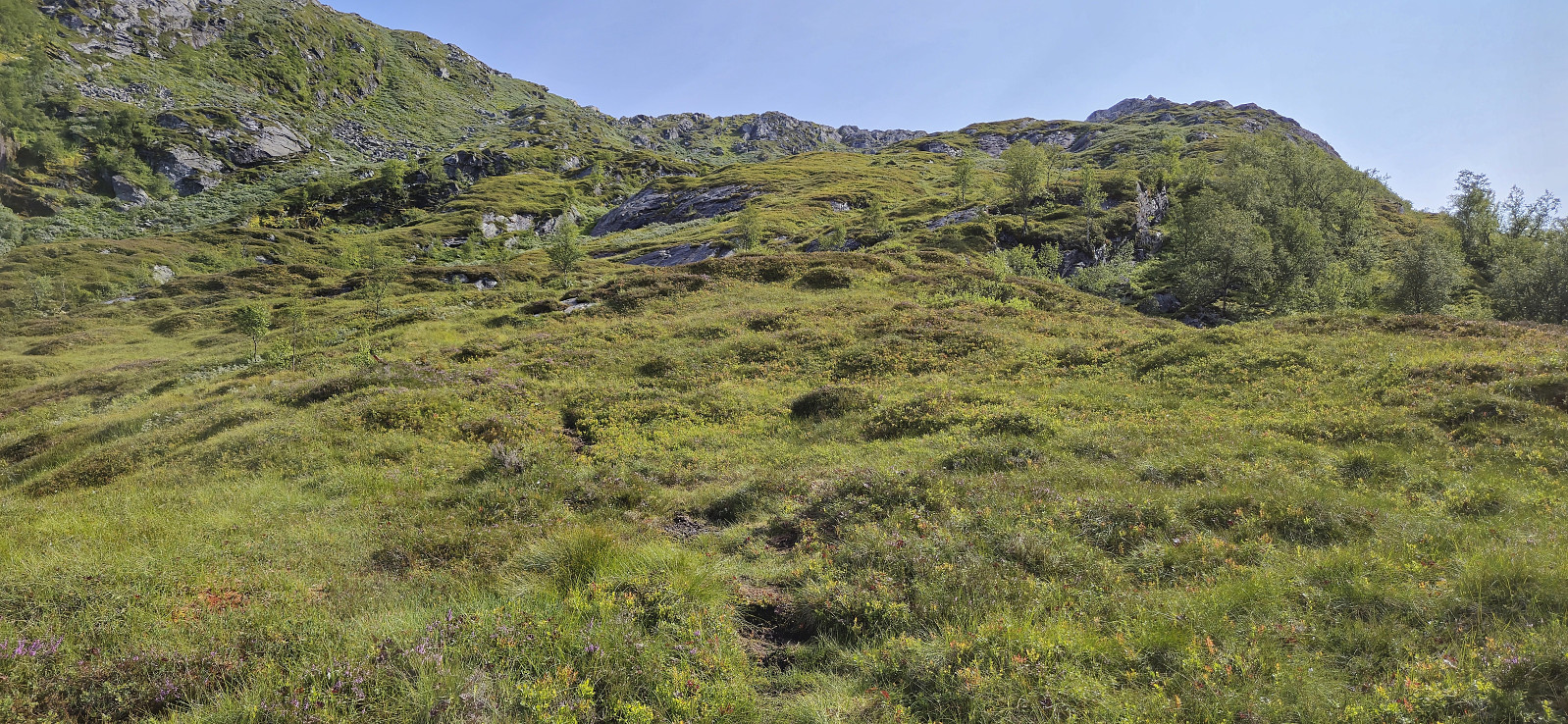
After getting off the bus I walked the short distance up to the marked trailhead for Jonahornet and proceeded to follow a marked trail all the way to the summit. There were one or two steep sections but overall the ascent was straightforward. Very limited views though and I did not stay long before descending the same way and heading northeast along the road to Selsvik.
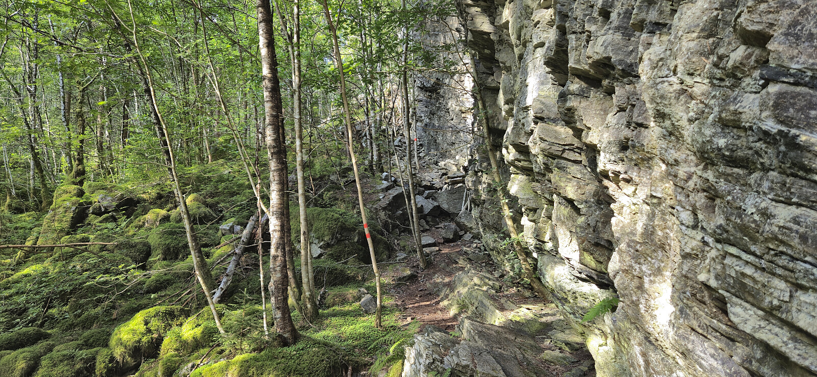
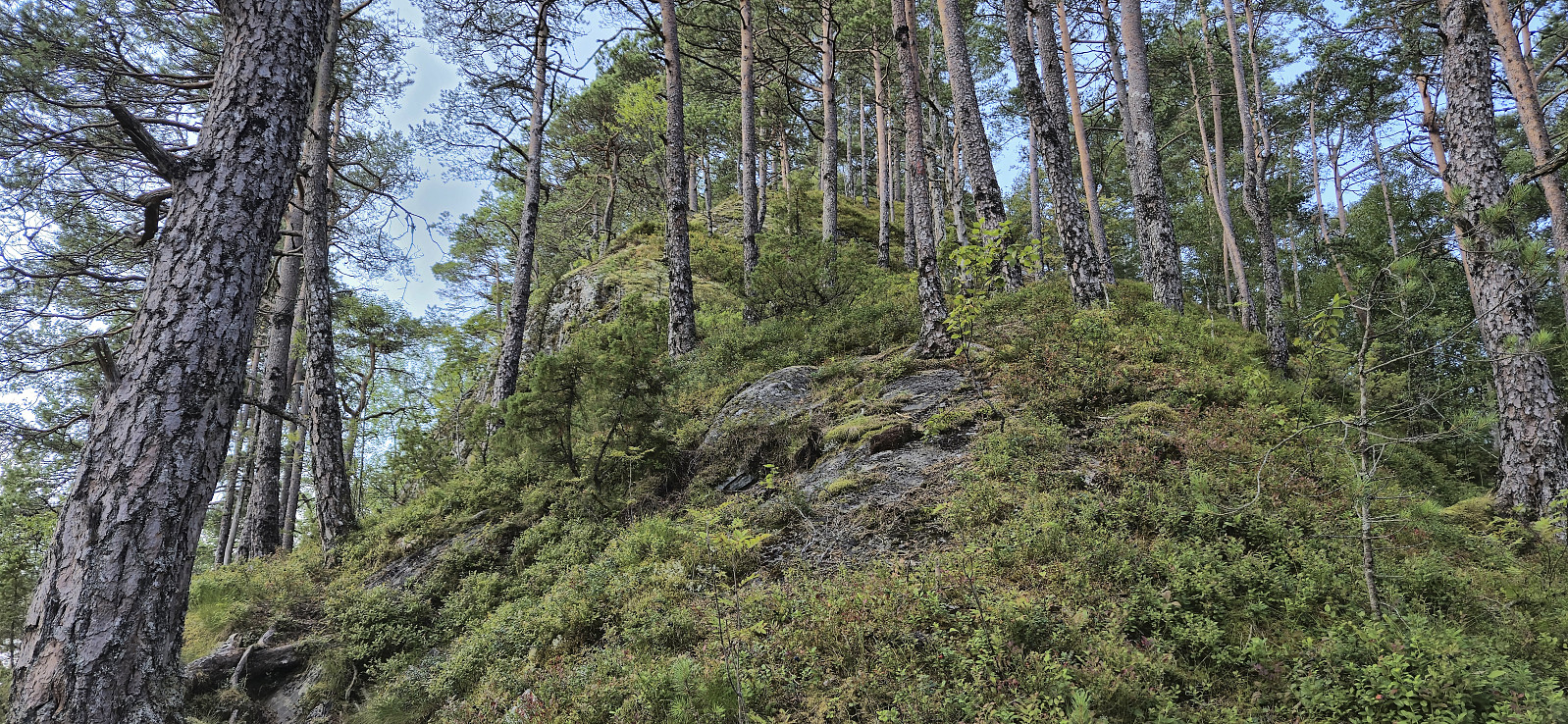
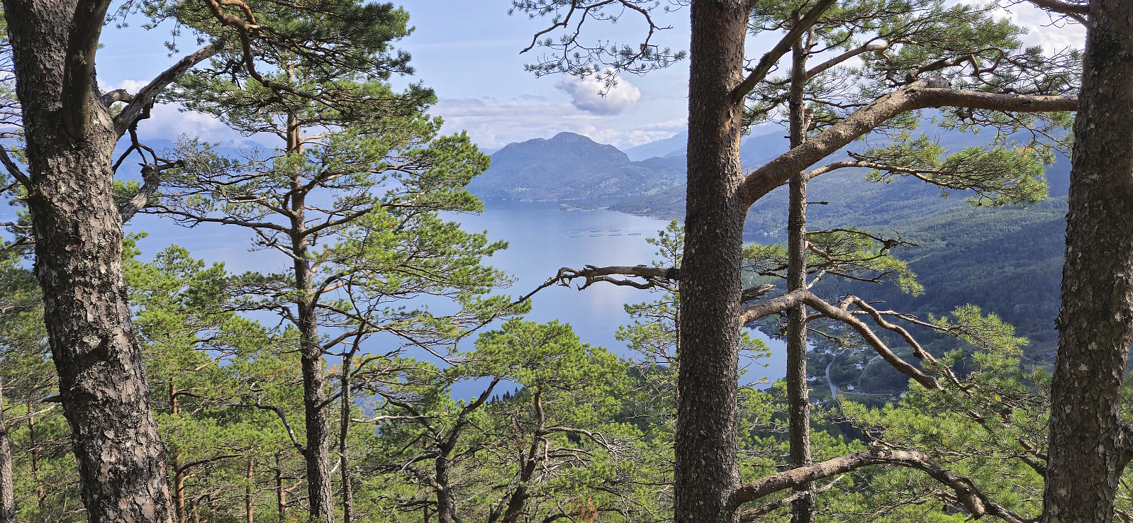
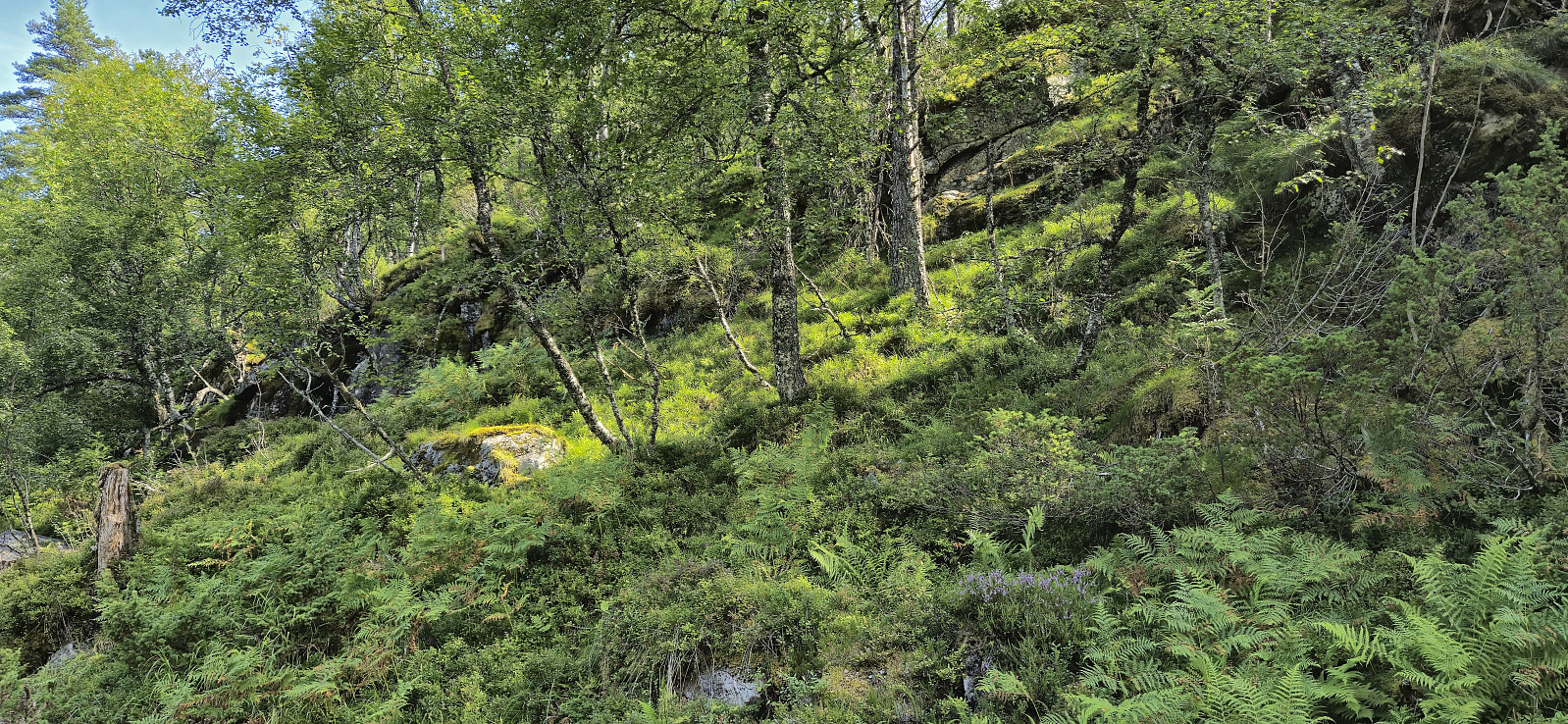
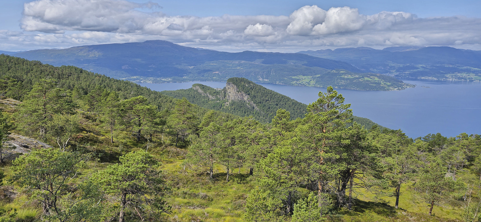
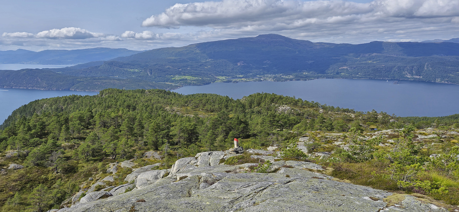
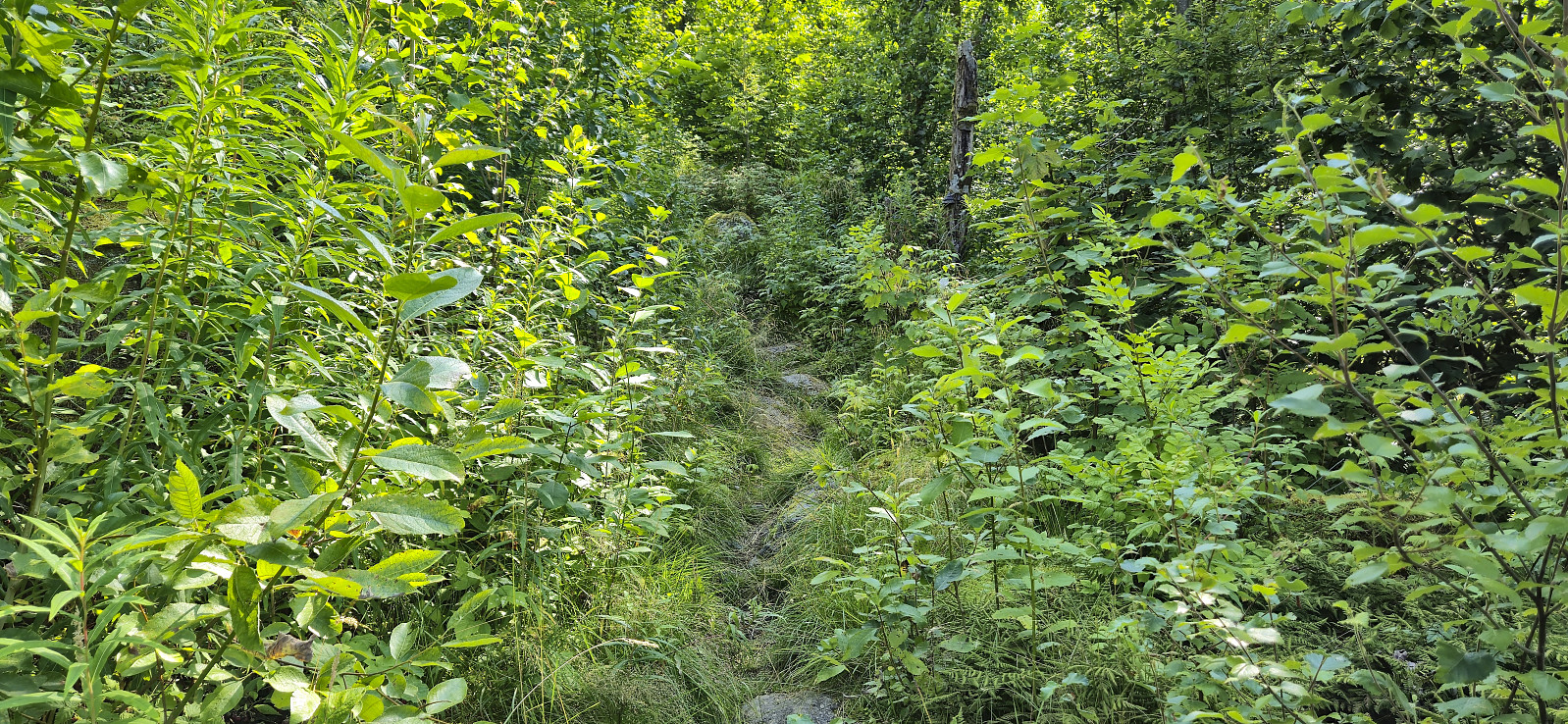
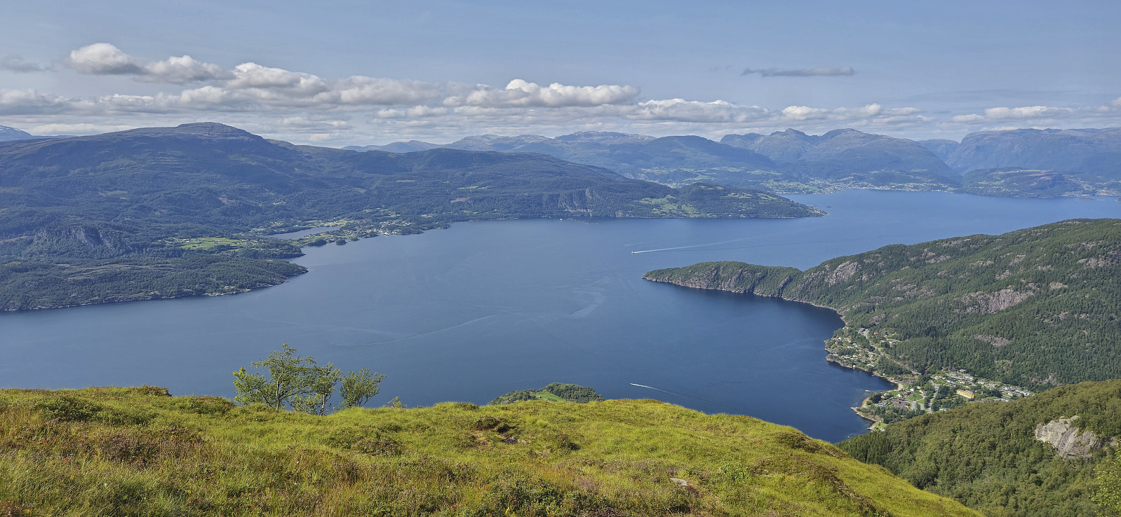
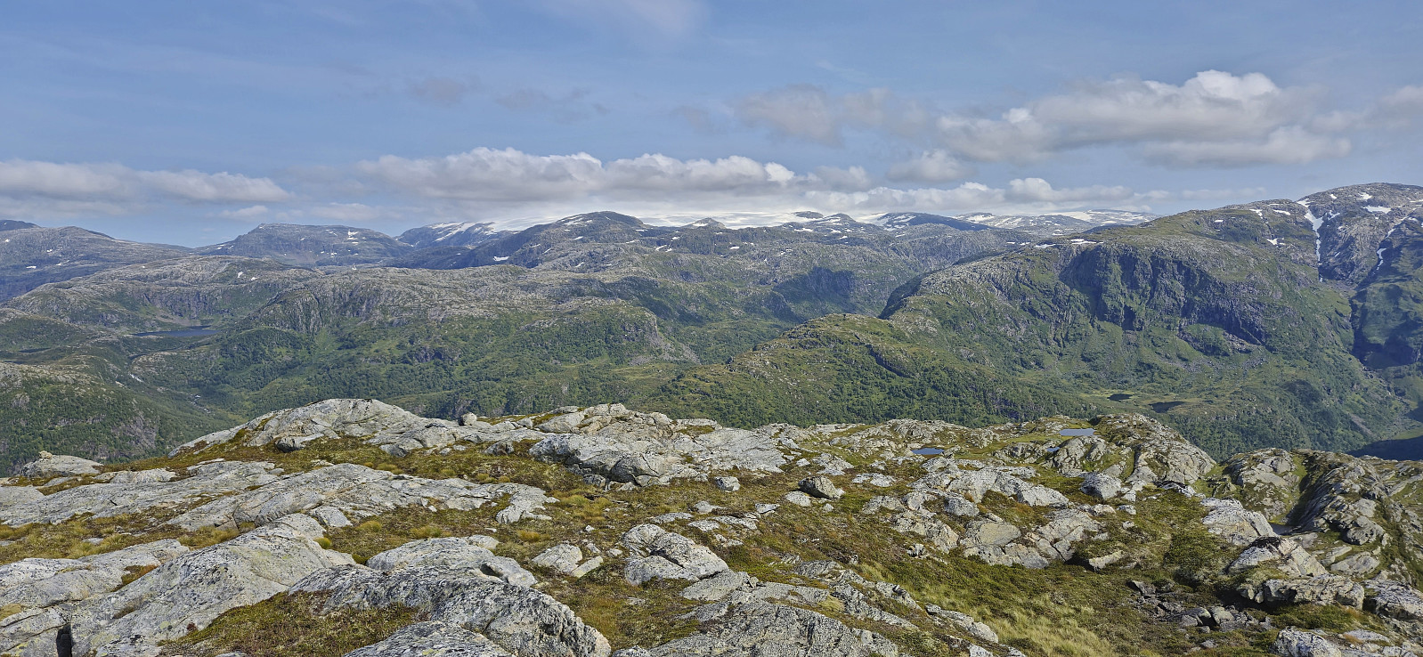
From Selsvik I followed a marked trail up the pass between Tofjellet and Gulbergnotten. At the top of the pass I ignored the sign for Gulbergnotten and instead first headed east to Tofjellet. The hike description at ut.no mentions an unmarked trail from this point to Tofjellet, however I could at best only find weak animal tracks and towards the end simply headed directly for the summit. Tofjellet provided great views though and a nice location for my lunch break.
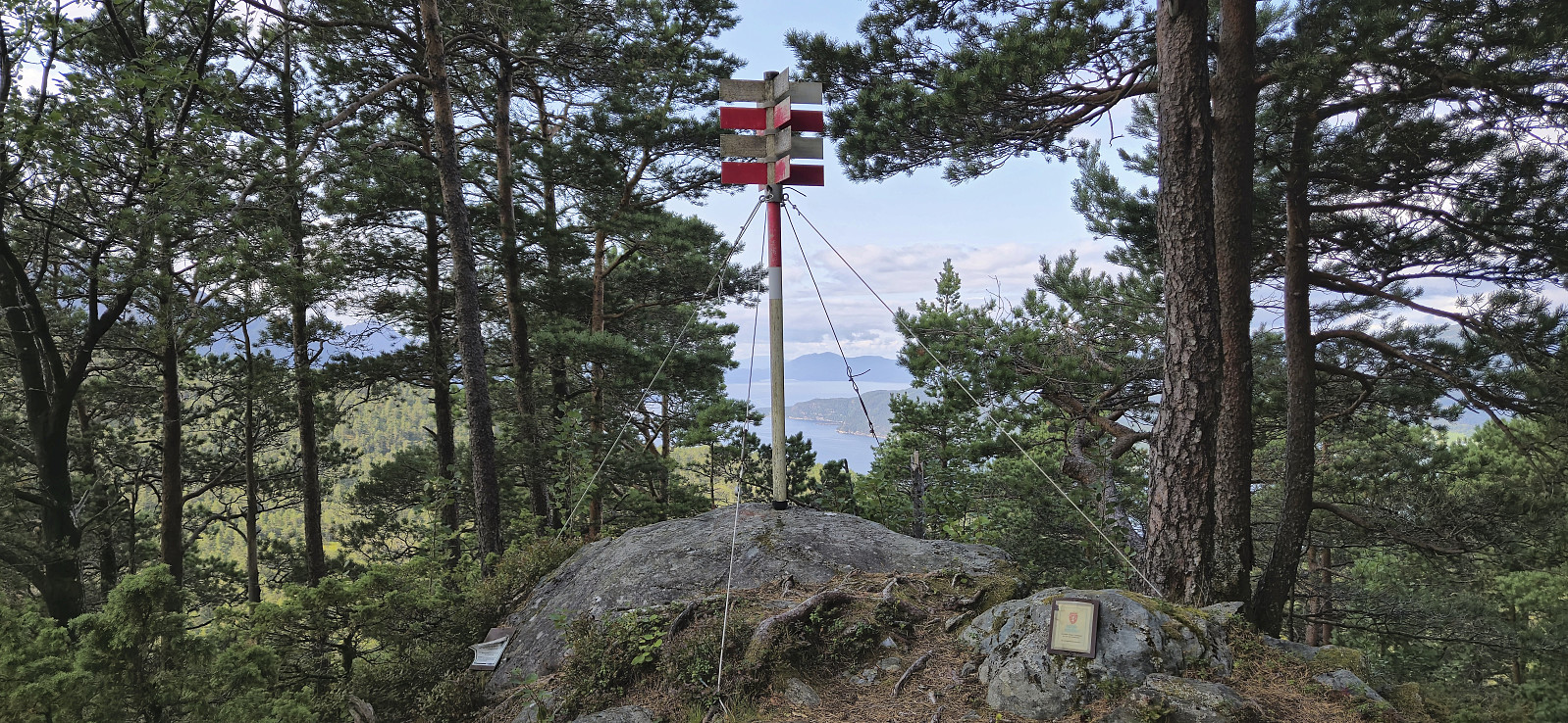
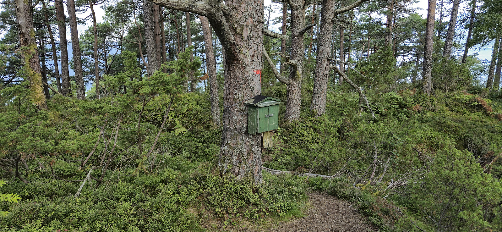
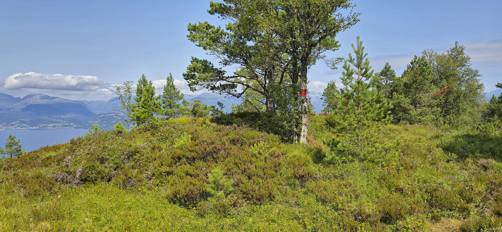
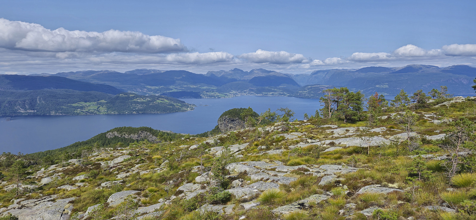
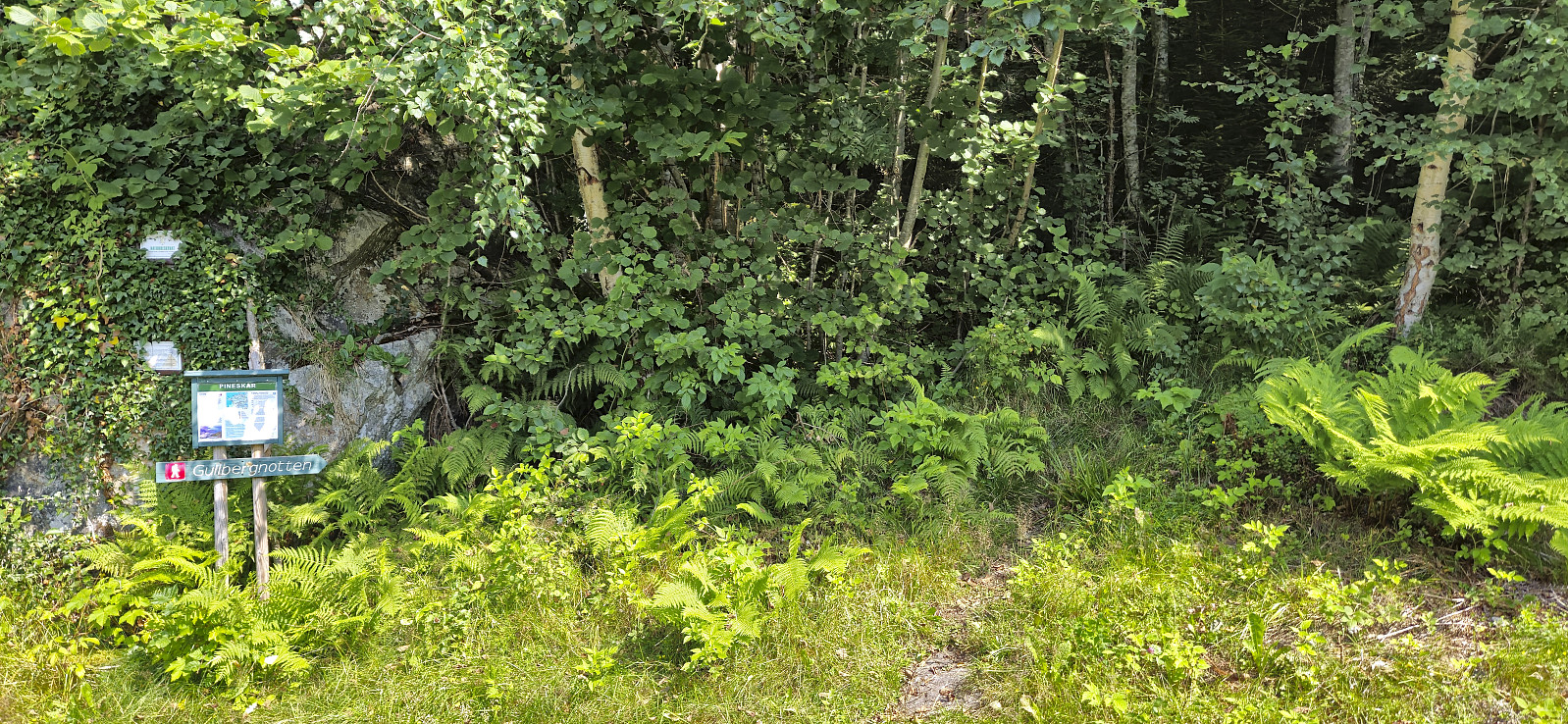
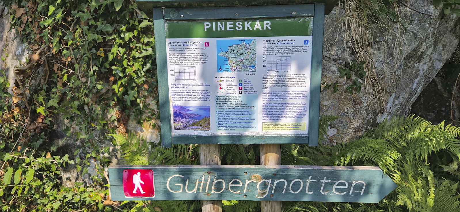
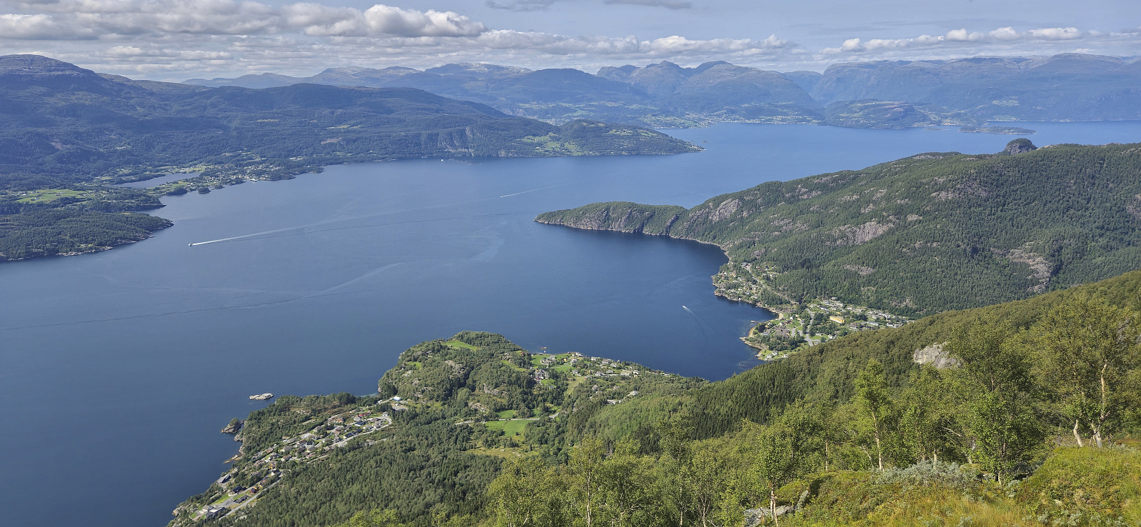
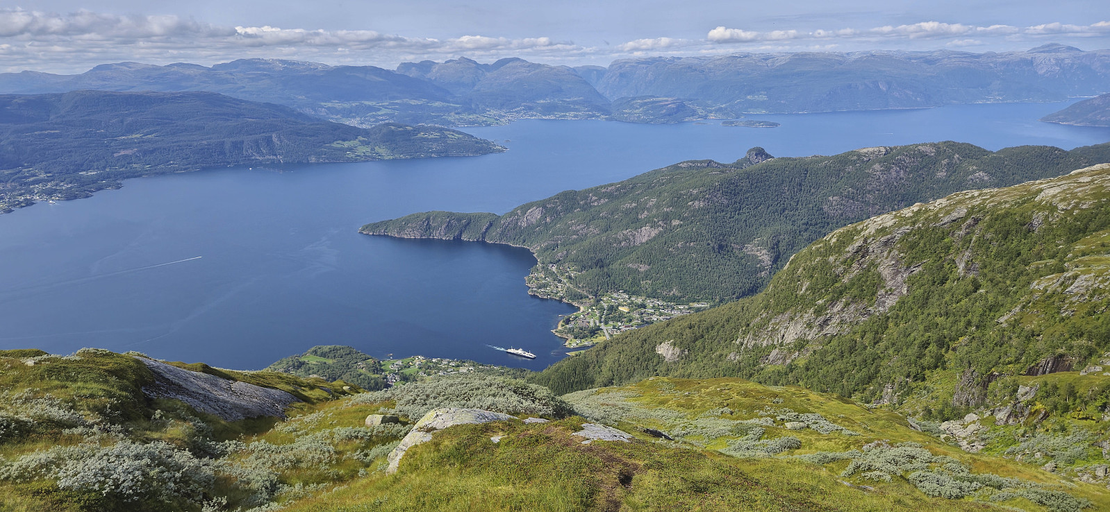
I returned to the trail via different animal tracks (not sure if any of these correspond to the trail mentioned at ut.no) and proceeded to follow the marked trail to Gulbergnotten. The summit was right next to the trail and thus easily visited however I quickly continued to Gulbergnotten utsiktspunkt which provided much better views.
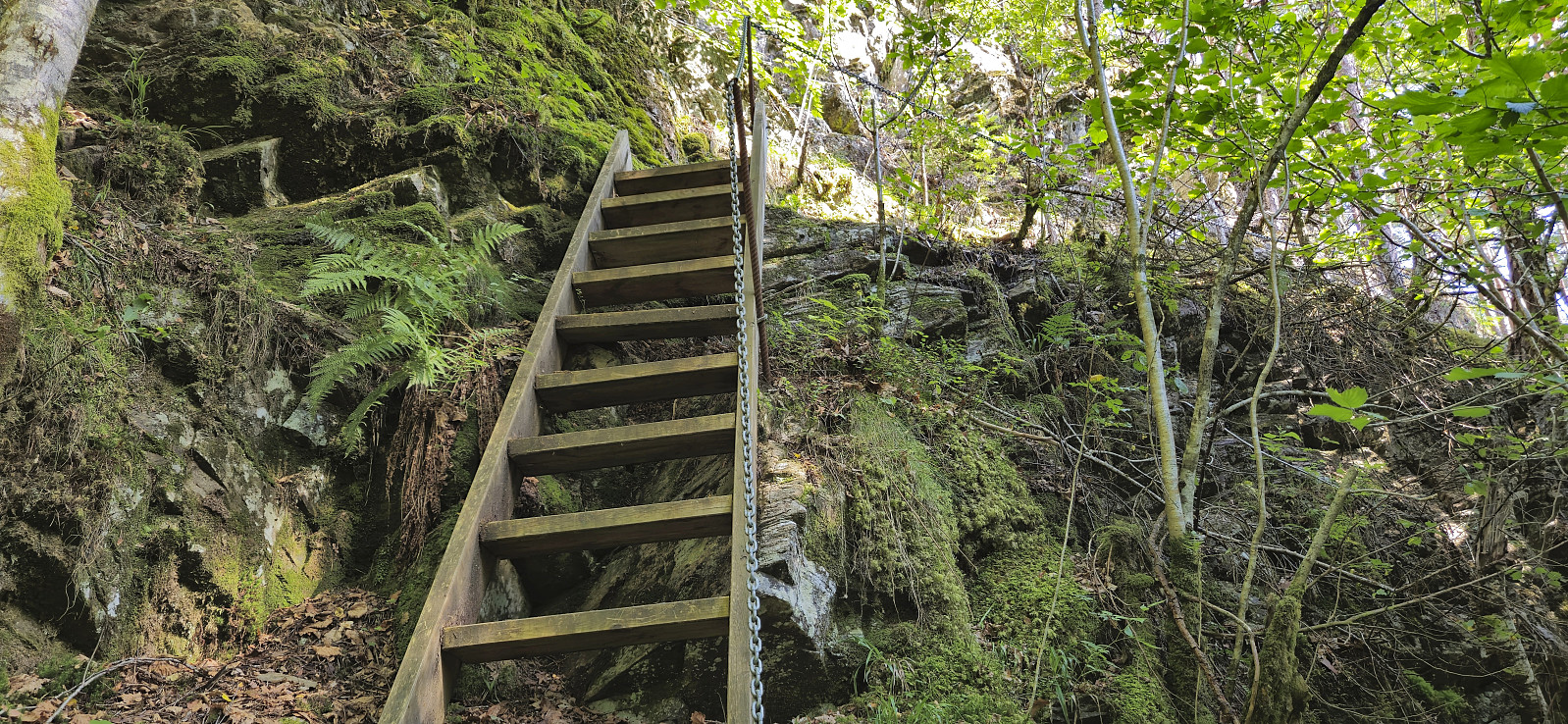
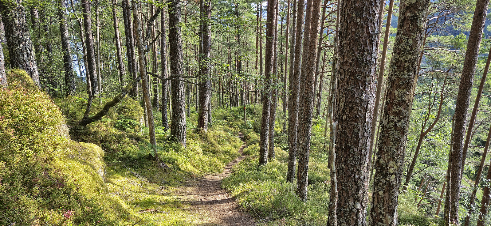
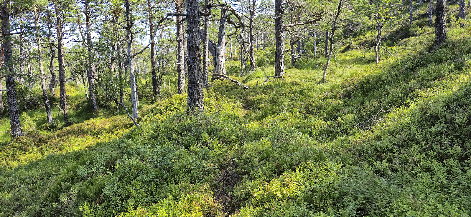
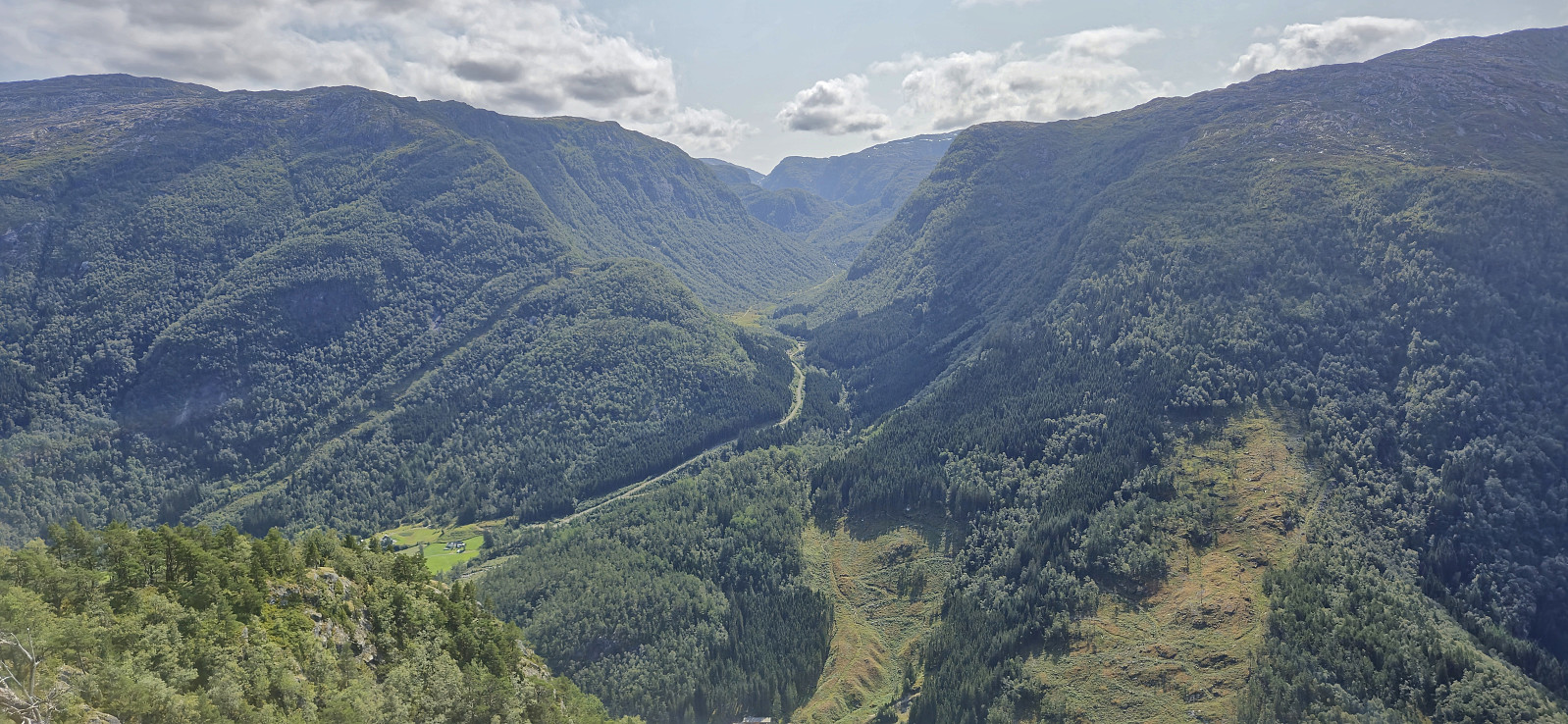
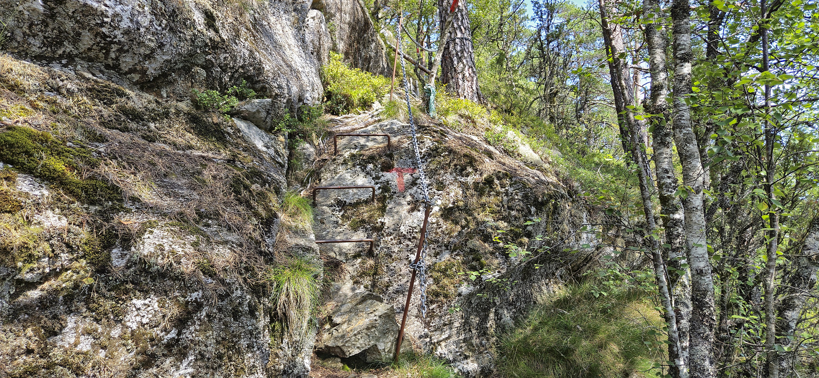
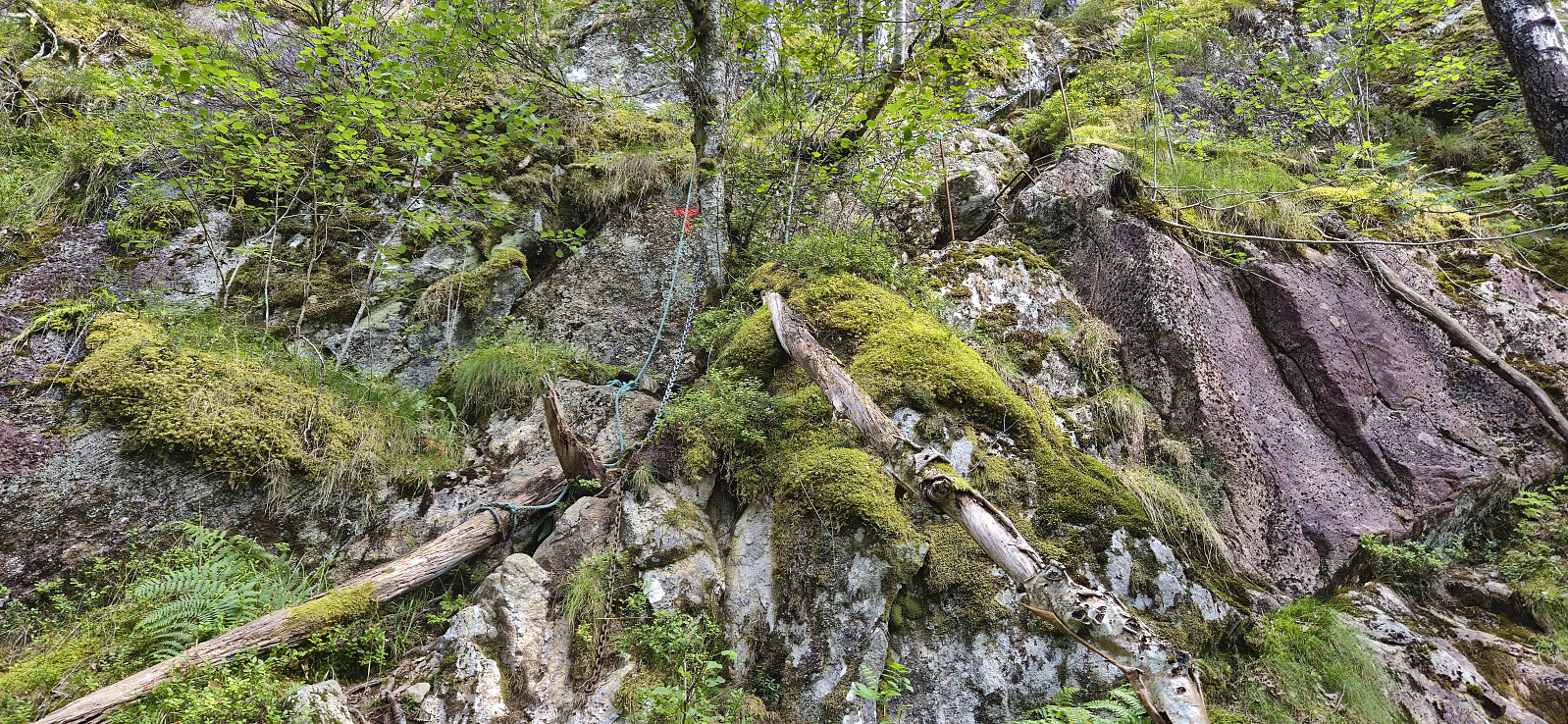
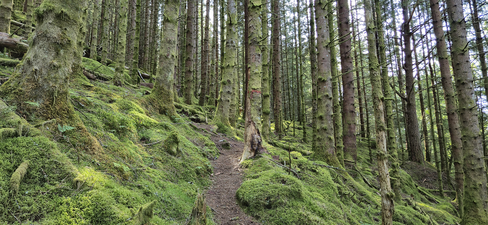
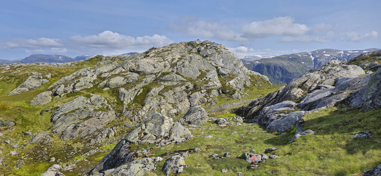
For my descent I followed the marked trail west. The map also indicated a potential shortcut south from Husanotten, but given the steep nature of (parts of) the marked trail, with several sections containing metal chains for safety, I can only imagine the status the unmarked trail. When reaching the main road I had to go through a short tunnel to continued towards Jondal.
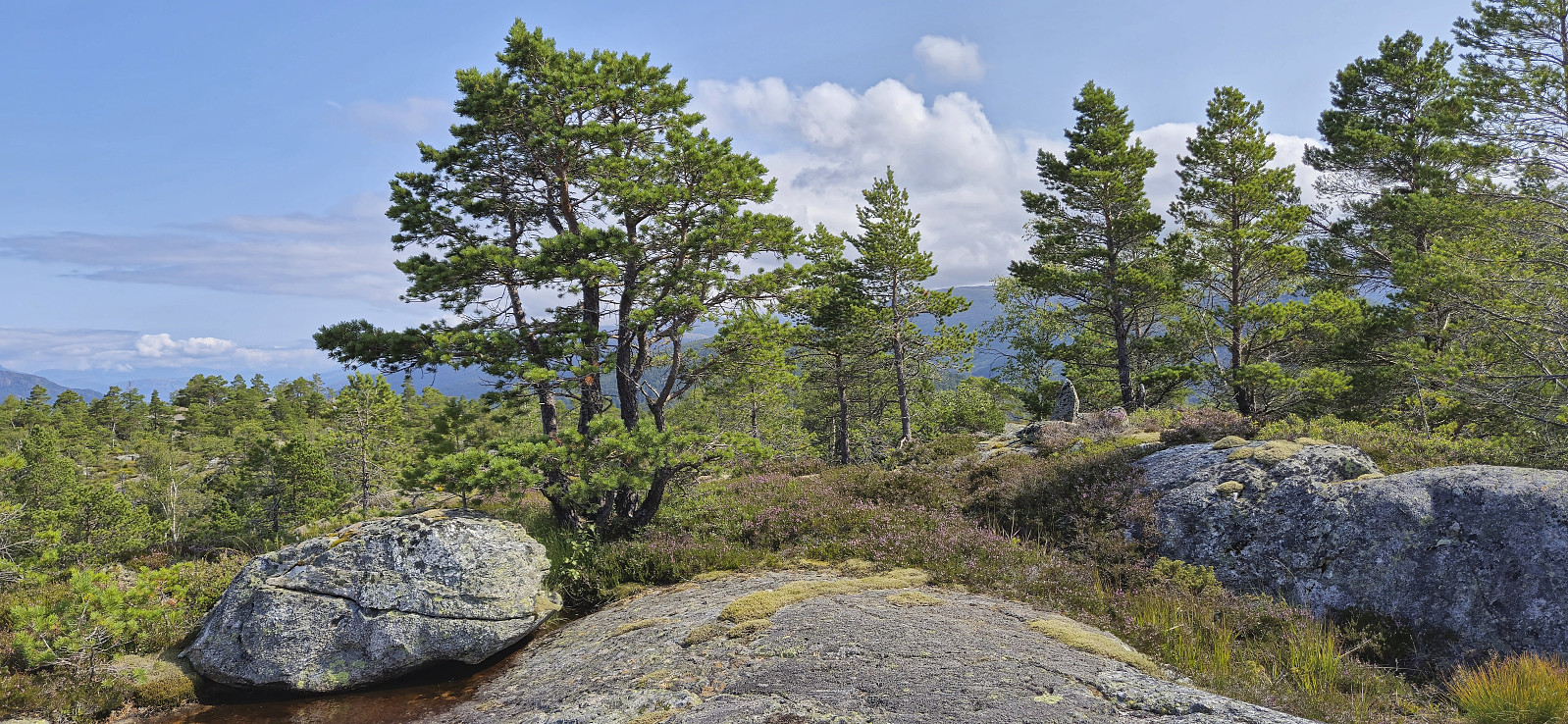
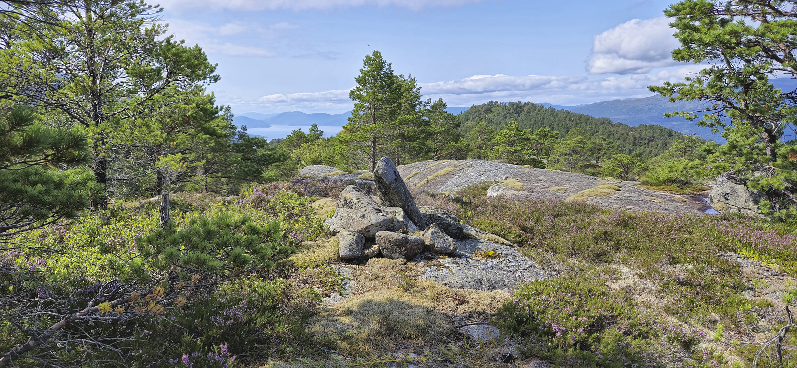
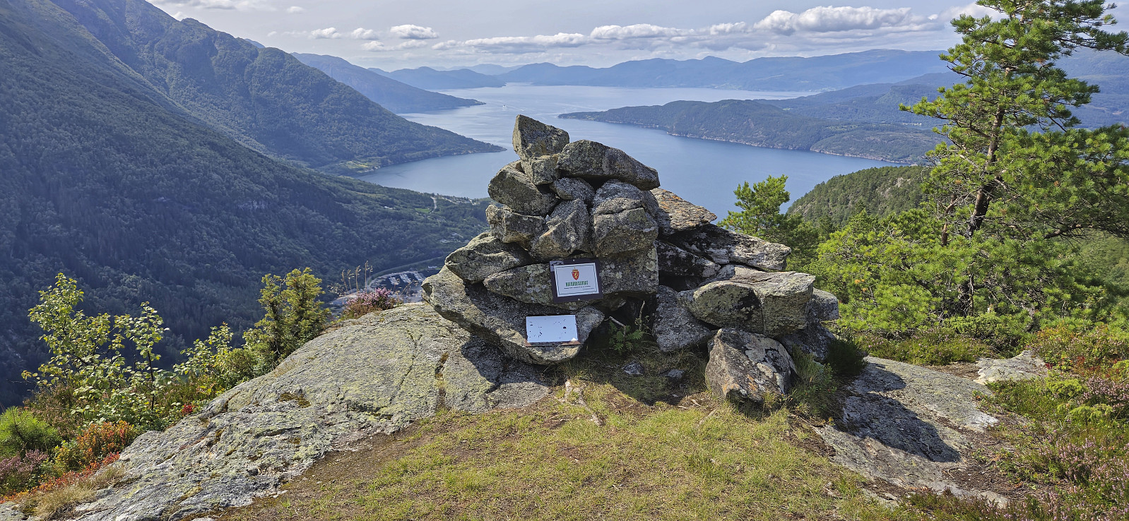
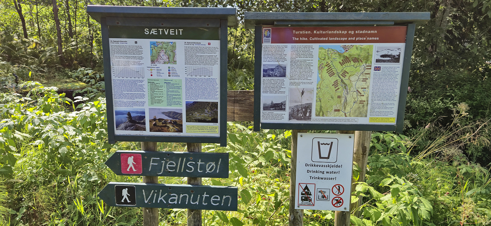
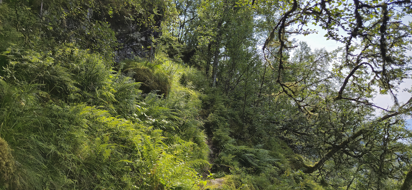
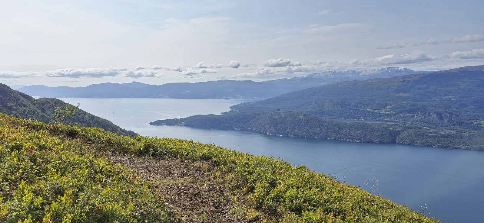
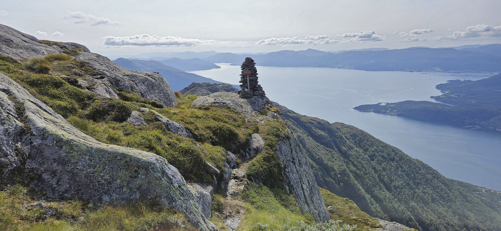
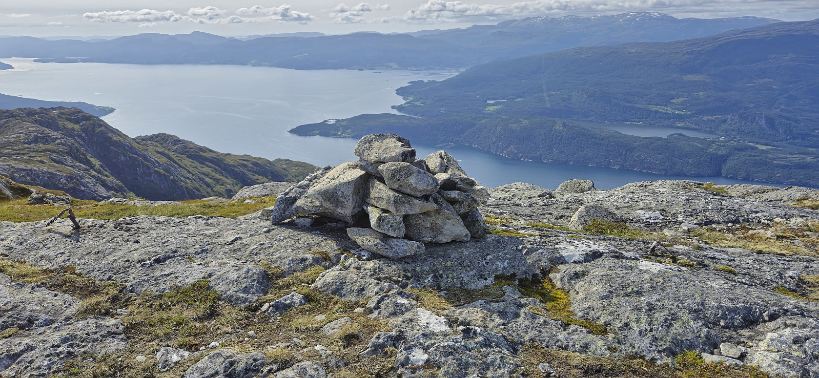
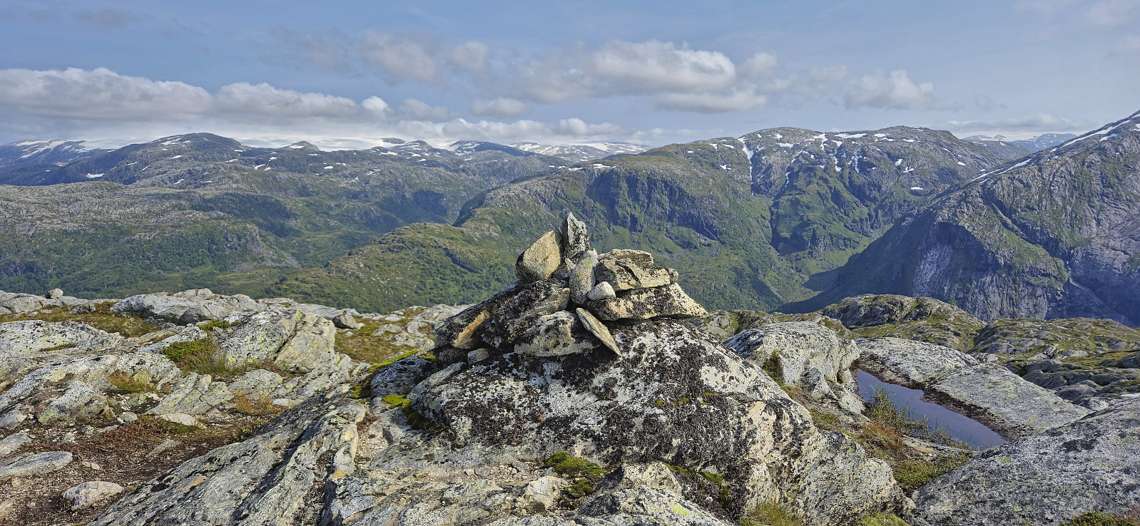
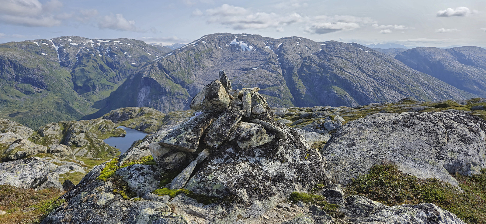
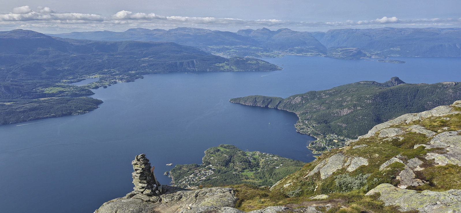
Upon arriving in Jondal I concluded that I had time for the planned bonus peak, namely Vikanuten. This would include an additional ascent of almost 1100 meters but it should be doable and I should still make it back in time for the ferry. I therefore continued southwest to the marked trailhead for Vikanuten and started the long and steep ascent to the summit along a marked trail. After a long and though ascent I finally arrived at the large cairn west of the summit. From there it was thankfully relatively flat and the last distance to the summit was more easily completed.
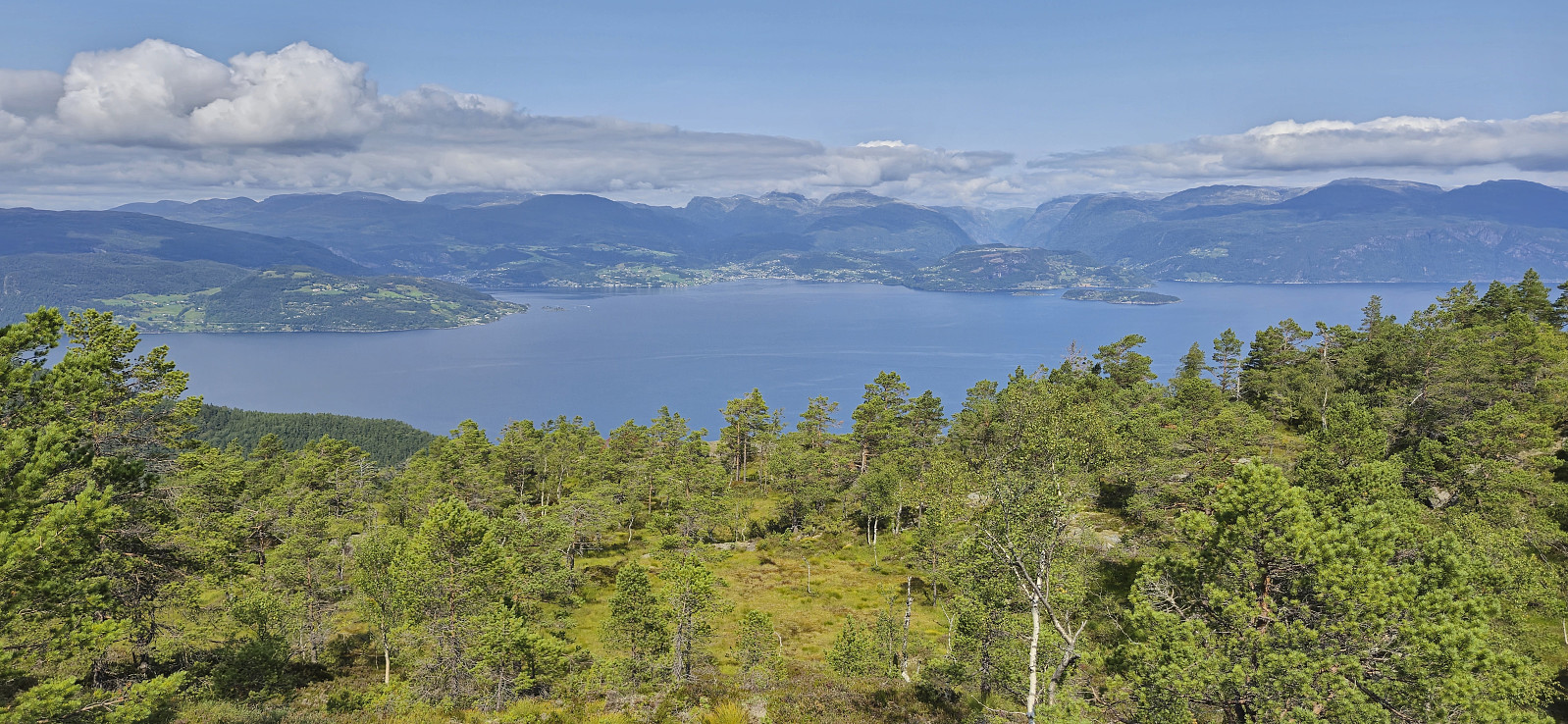
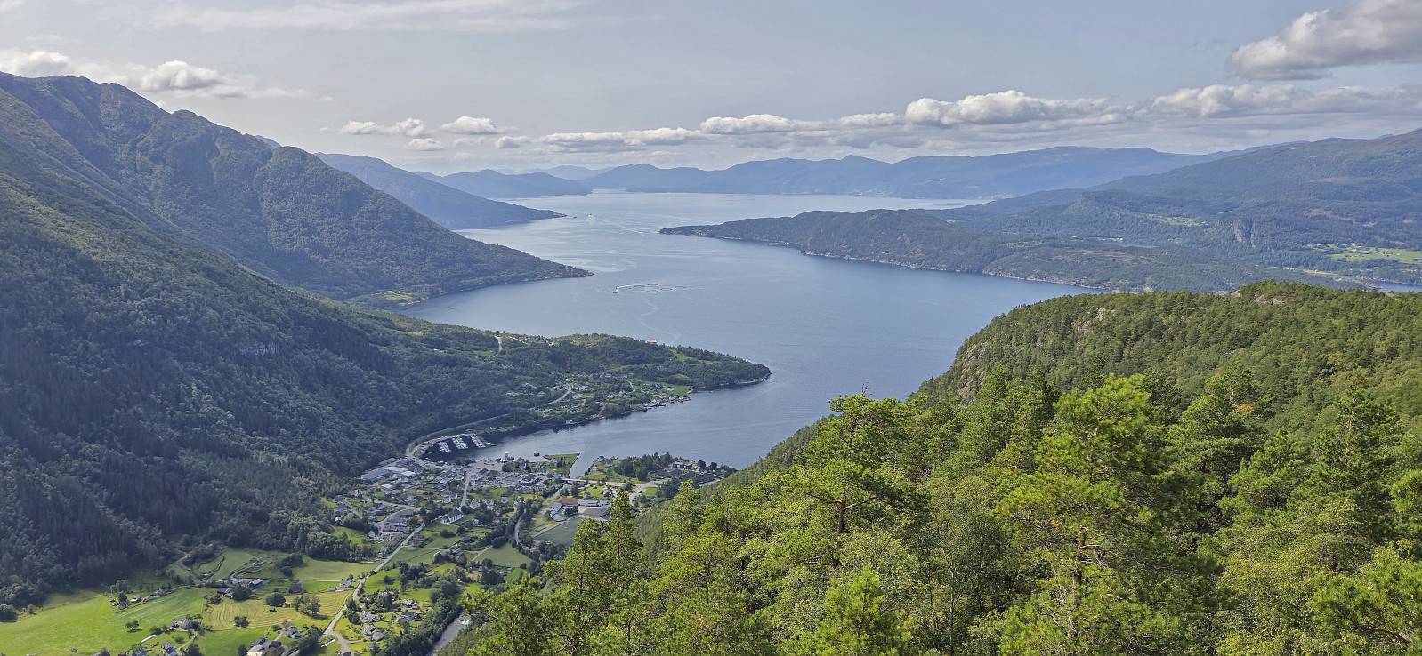
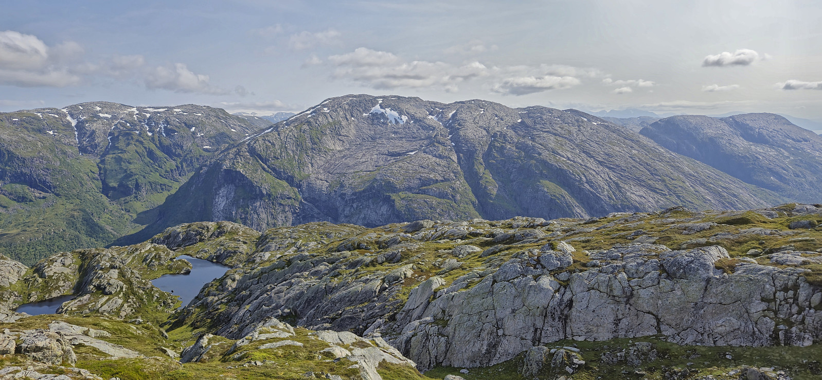
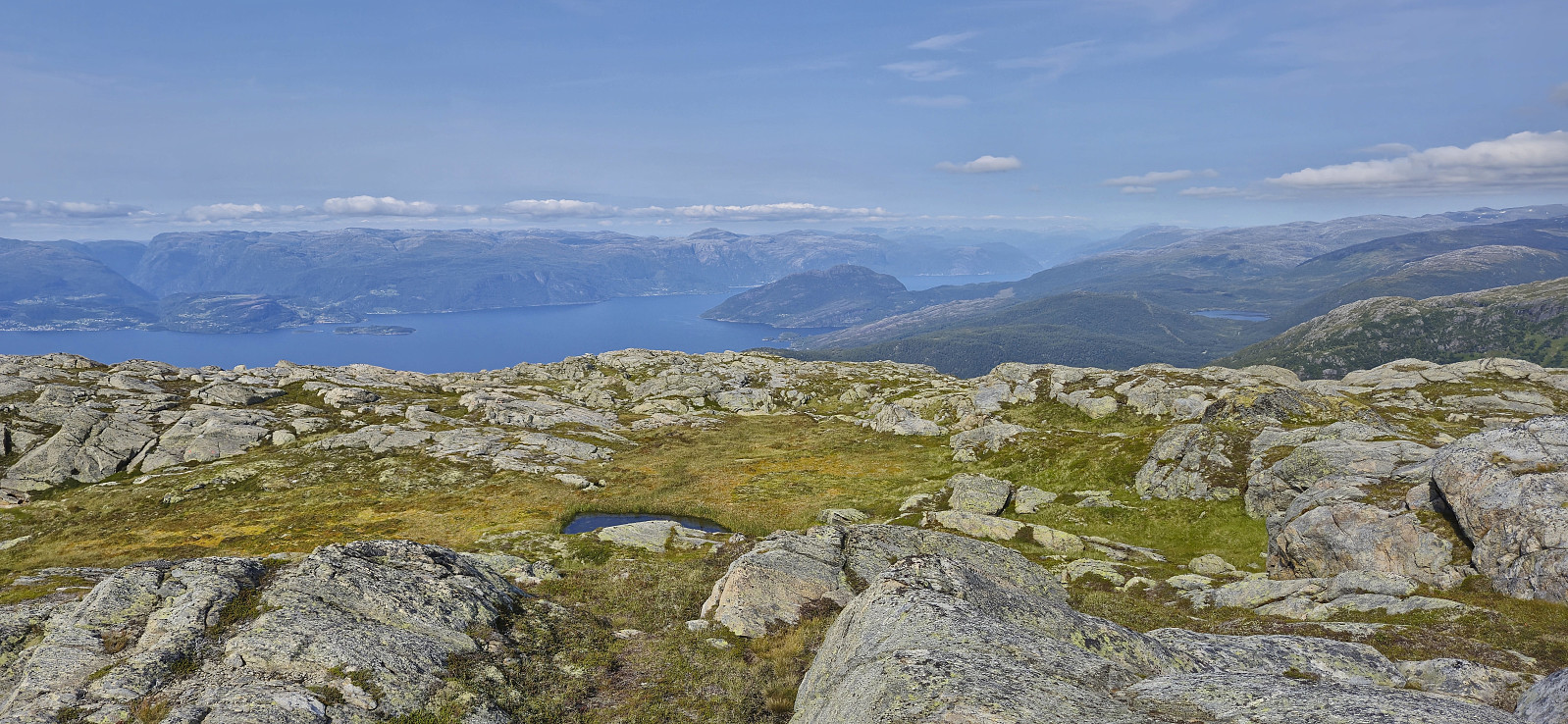
Excellent panoramic views from the summit, I however had a ferry to catch. After a quick bite and a couple of pictures I therefore quickly started my descent along the same route, arriving at the trailhead with 20 minutes to spare, more than enough time to make it to Jondal where the ferry arrived just minutes later.
In summary, using the express boat from Norheimsund, combined with the bus to Selsvik, can definitely be recommended as a way of visiting Jonahornet, Tofjellet and Gulbergnotten. A visit of Vikanuten can also very much be recommended, however given the long and steep ascent most hikers would probably prefer to do this as a separate hike, perhaps as a roundtrip via Fjellstøl.
| Starttidspunkt | 01.08.2024 09:45 (UTC+01:00 ST) |
| Sluttidspunkt | 01.08.2024 18:08 (UTC+01:00 ST) |
| Totaltid | 8t 22min |
| Bevegelsestid | 7t 30min |
| Pausetid | 0t 52min |
| Snittfart totalt | 2,4km/t |
| Snittfart bevegelsestid | 2,6km/t |
| Distanse | 19,7km |
| Høydemeter | 2205m |


Kommentarer
We ...
Skrevet av HHauser 06.08.2024 16:35... made it up to Vikanuten the day after! :-)
(but without the "prelude" of Jonahornet, Tofjellet, and Gulbergnotten, of course!)
Re: We ...
Skrevet av hbar 06.08.2024 16:43Aha, so I guess you visited those three afterwards instead then? ;)
Too bad we did not get to meet up at the summit! :)
Re: Re: We ...
Skrevet av HHauser 06.08.2024 16:45We descended via Fjellstøl -- very nice! (no additional peaks; this was an after-work hike and we were glad to still make it to he shop in Jondal before it closed at 9pm :-))
Re: Re: Re: We ...
Skrevet av hbar 06.08.2024 16:54I considered that roundtrip as well, but as the descent would have been slightly longer I decided not to take any chances with regards to catching the bus and ferry in Jondal. :)